Log in
All resources
Create a design
376,713 Free Images of Mapping
charts and maps of the royal museums greenwich
1682 maps
maps in the british museum
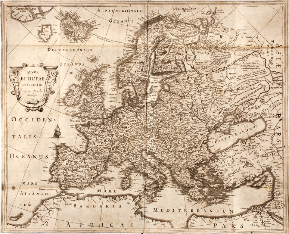
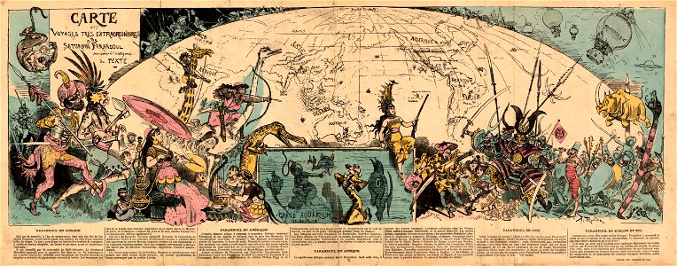
description de l'universe
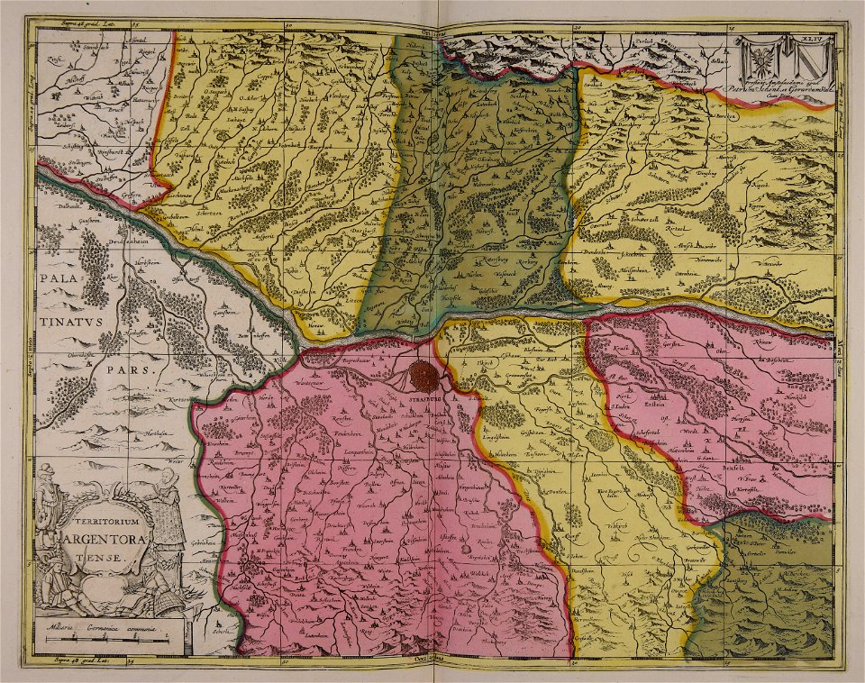
maps by pieter schenk (i)
maps made in the 17th century
maps
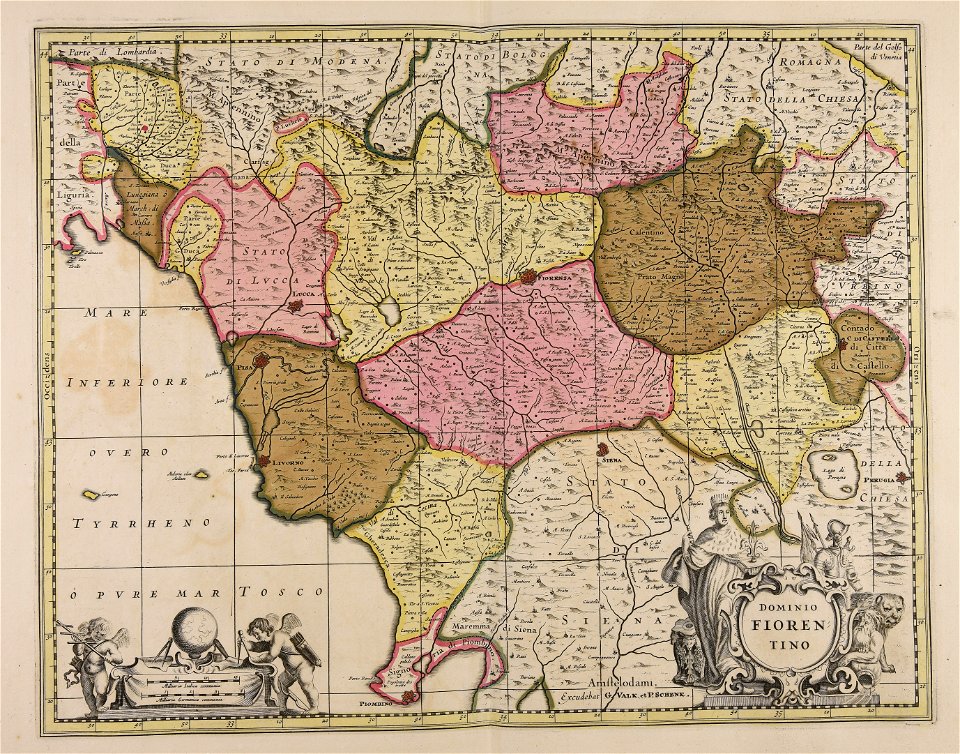
gerard valck
atlantis magni tomus tertius (biblioteca comunale di trento)
maps in the library of congress
maps in the biblioteca federiciana
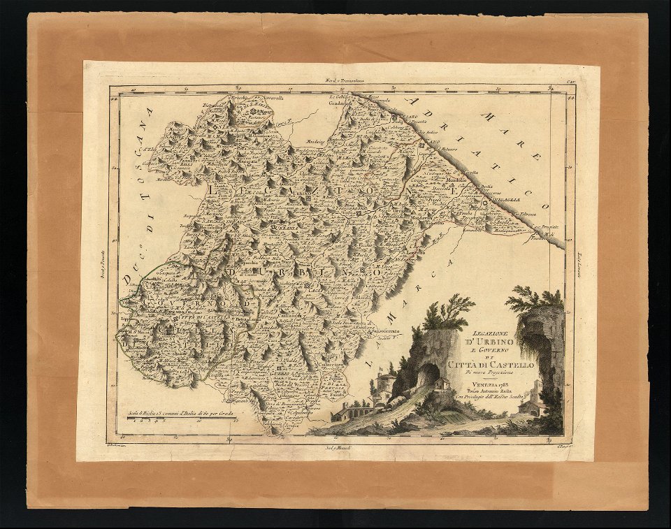
old maps of marche
maps
sign
maps
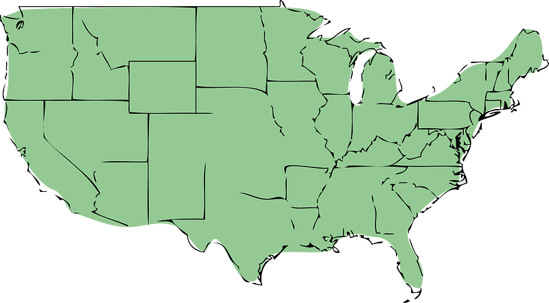
usa
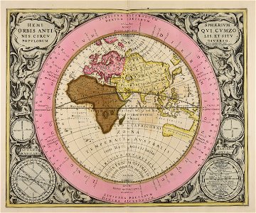
decorative map
german bible
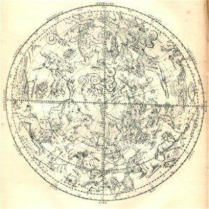
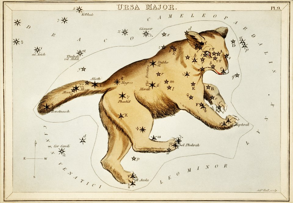
old celestial maps
gerard valck
maps
man
globe
maps
maps with cartouches
atlas van der hagen
maps with cartouches
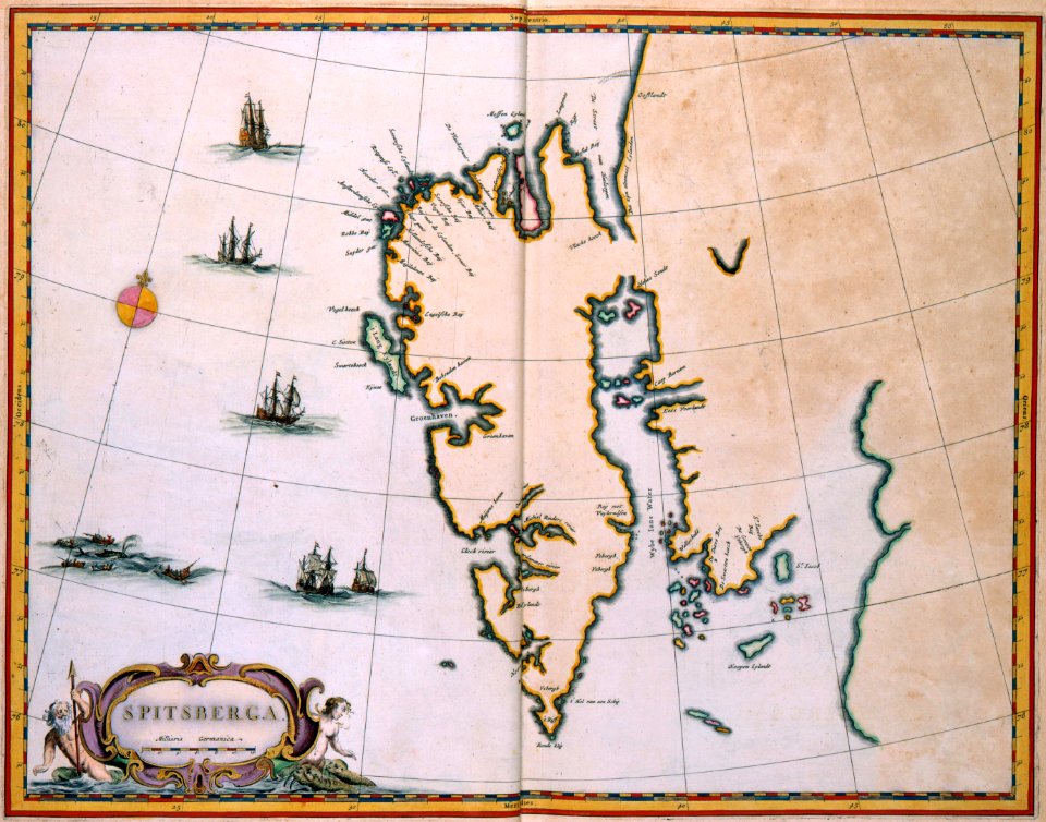
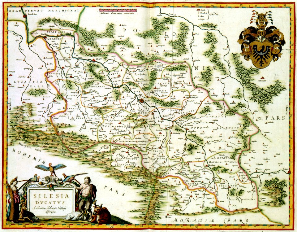
old maps of silesia
prints from dankaerts historis at the peace palace library
cornelis danckerts (i)
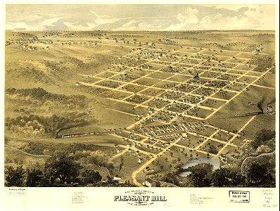
pleasant hill
missouri
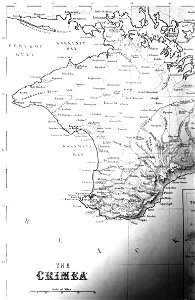
old maps of crimea
1856 maps
the northern hemisphere of the celestial globe by albrecht dürer
old celestial maps
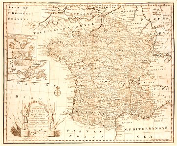
old maps of france
old maps of brest
maps made in the 17th century
maps by nicolaes visscher i
maps made in the 17th century
maps by pieter schenk (i)
koninklijk nederlands aardrijkskundig genootschap
map collection frederik muller & co
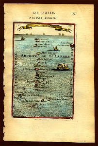
old maps of asia
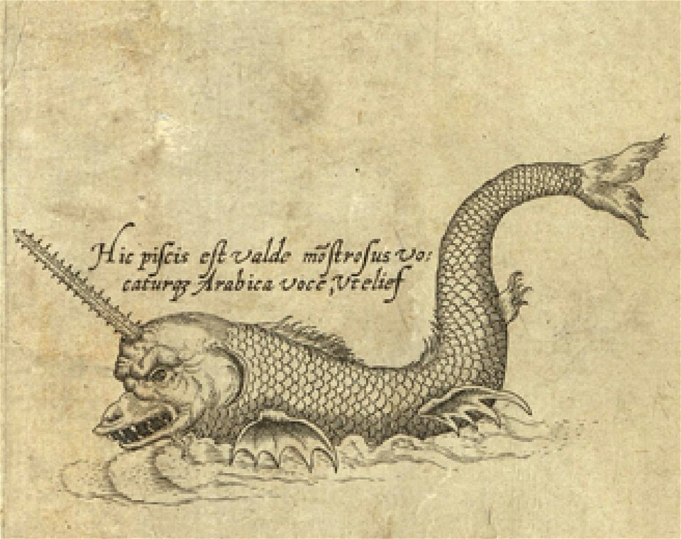
sea monster
old maps of silesia
gerard valck
maps made in the 17th century
gerard valck
koninklijk nederlands aardrijkskundig genootschap
map collection frederik muller & co
landscape
maps
maps by pieter schenk (i)
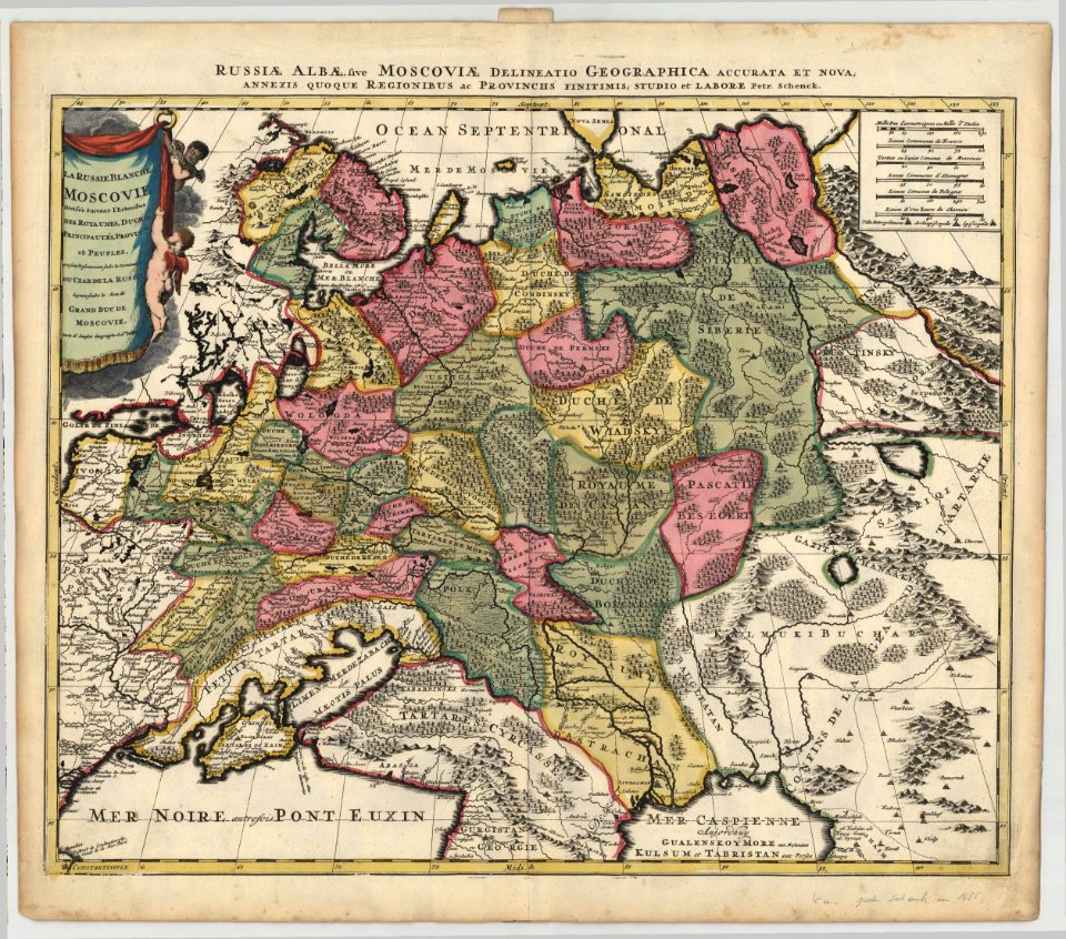
1685 maps of russia
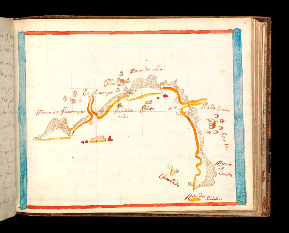
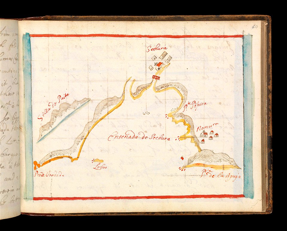
old maps of the dutch east india company
maps of the west-indische compagnie
1671
maps of the west-indische compagnie
1646
maps of the west-indische compagnie
1716
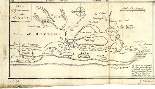
maps of the senegal river
1747)
maps of the west-indische compagnie
1747)
maps of the west-indische compagnie
1772
maps of the senegal river
1745
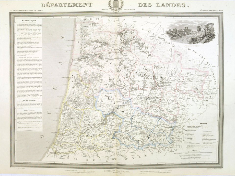
old maps of landes
1841 maps
charts and maps of the royal museums greenwich
1682 maps
charts and maps of the royal museums greenwich
1682 maps
maps in the library of congress
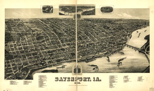
1888 maps of iowa
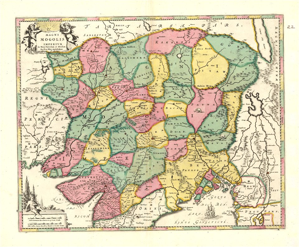
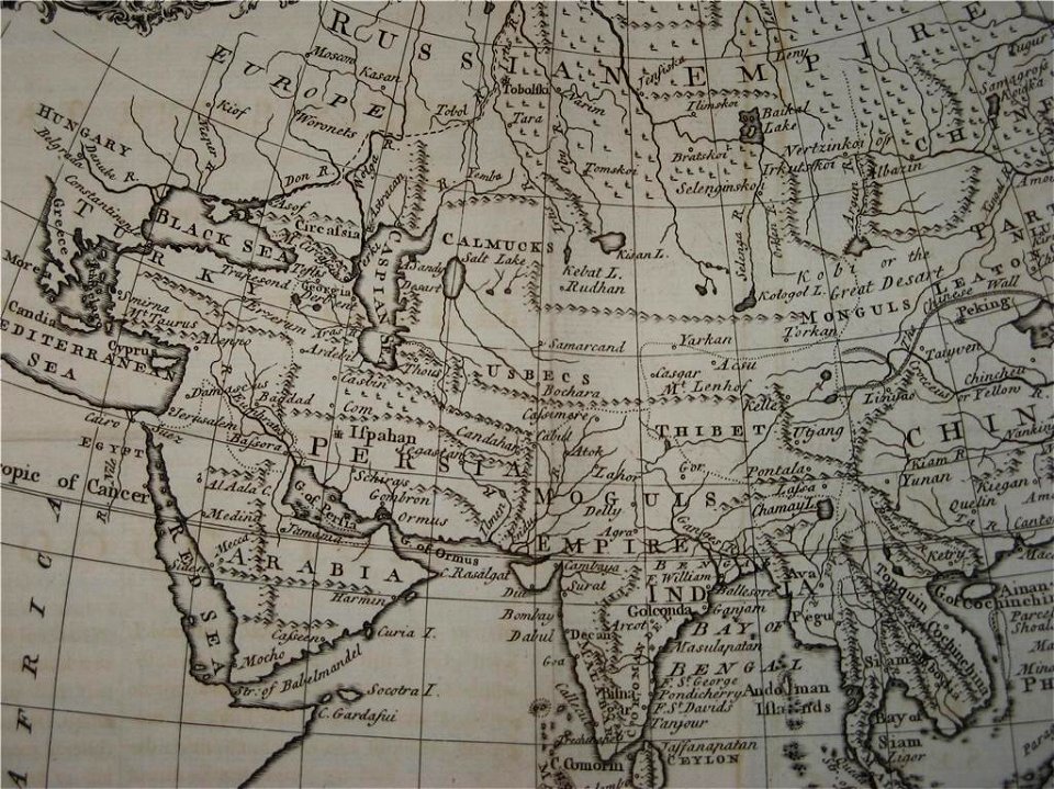
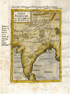
18th-century maps of india
old maps of tibet
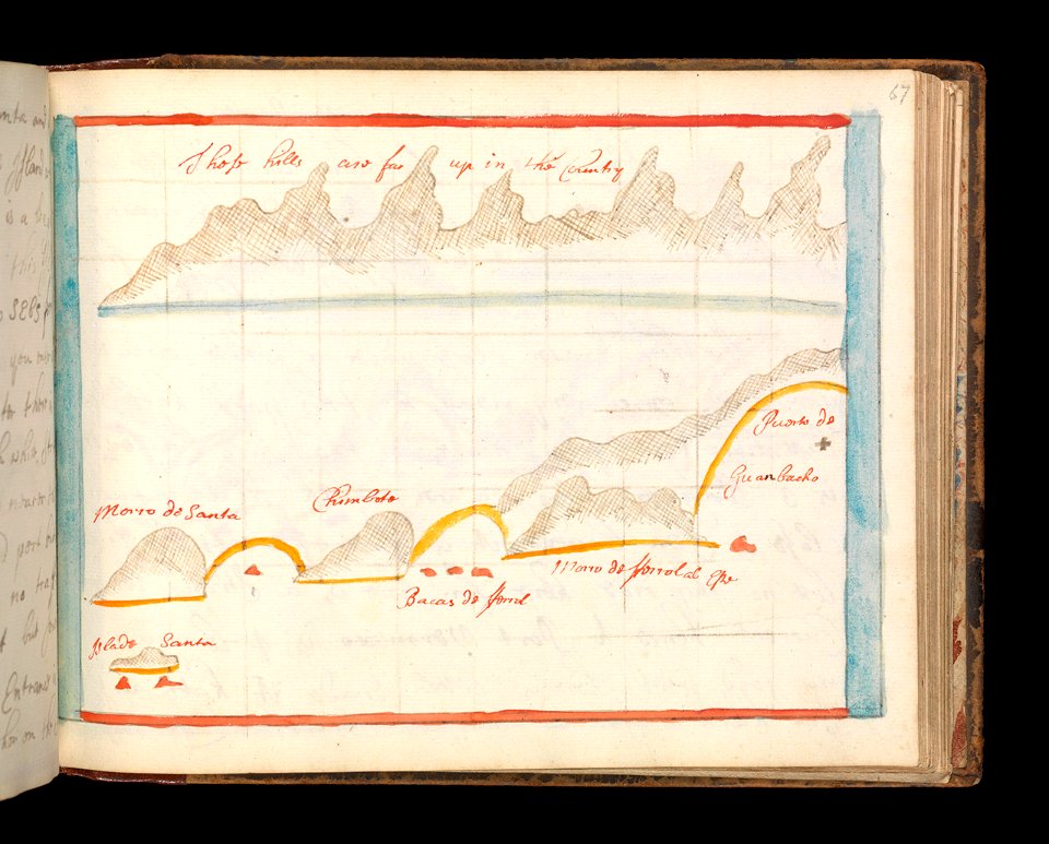
charts and maps of the royal museums greenwich
1682 maps
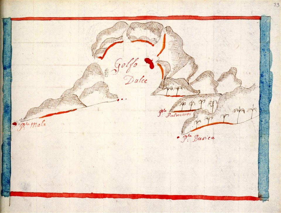
charts and maps of the royal museums greenwich
1682 maps
charts and maps of the royal museums greenwich
1682 maps
charts and maps of the royal museums greenwich
1682 maps
charts and maps of the royal museums greenwich
1682 maps
charts and maps of the royal museums greenwich
1682 maps
maps in the british museum
maps in the british museum
maps in the british museum
maps in the british museum
maps in the british museum
maps in the british museum
maps in the british museum
maps in the british museum
charts and maps of the royal museums greenwich
1682 maps
charts and maps of the royal museums greenwich
1682 maps
17th-century maps of india
description de l'universe
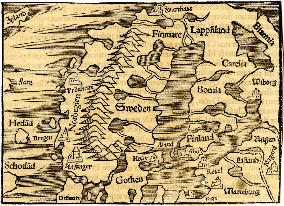
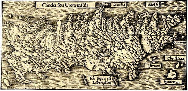
maps by sebastian münster
ptolemy's 1st asian map
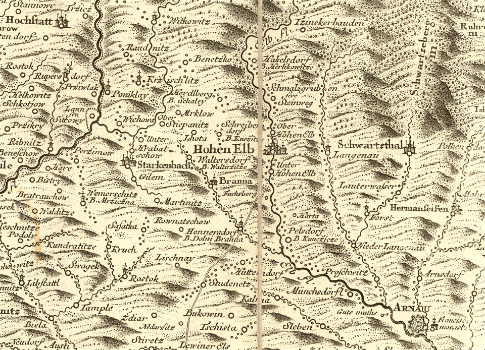
details of müller's map of bohemia
history of vrchlabí
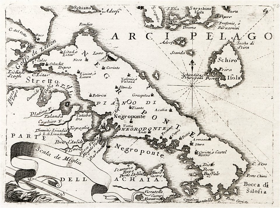
old maps of the peloponnese
maps by coronelli
charts and maps of the royal museums greenwich
1682 maps
maps in the british museum
maps in the british museum
maps in the british museum
maps in the british museum
maps in the british museum
flandria illustrata
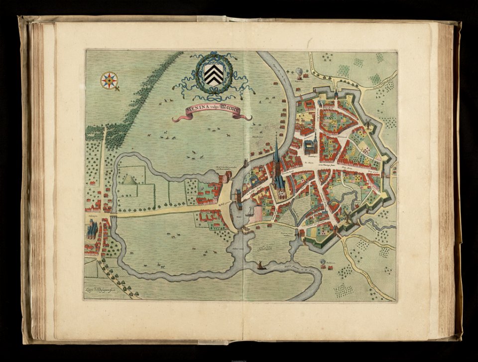
old maps of menen
details of müller's map of bohemia
maps of louny district
description de l'universe
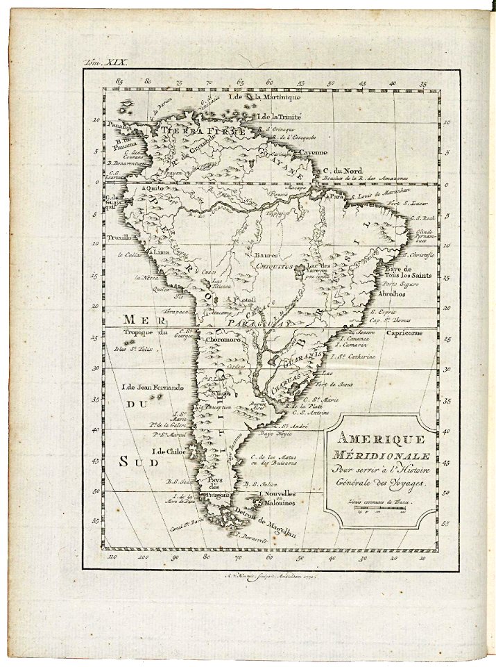
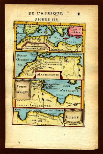
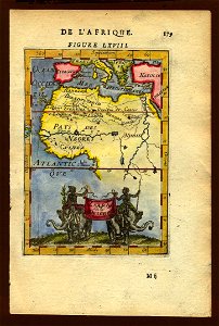
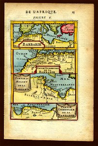
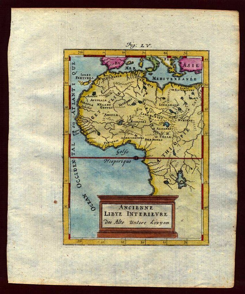
old maps of africa
description de l'universe
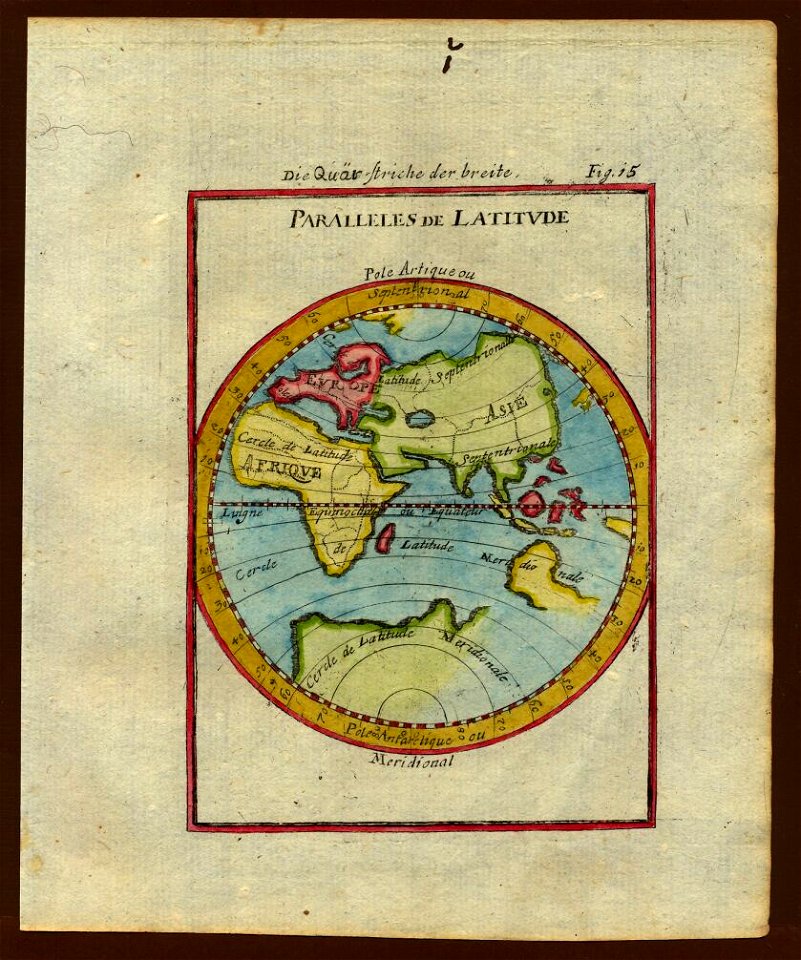
old maps of the world
description de l'universe
1680s maps of the world
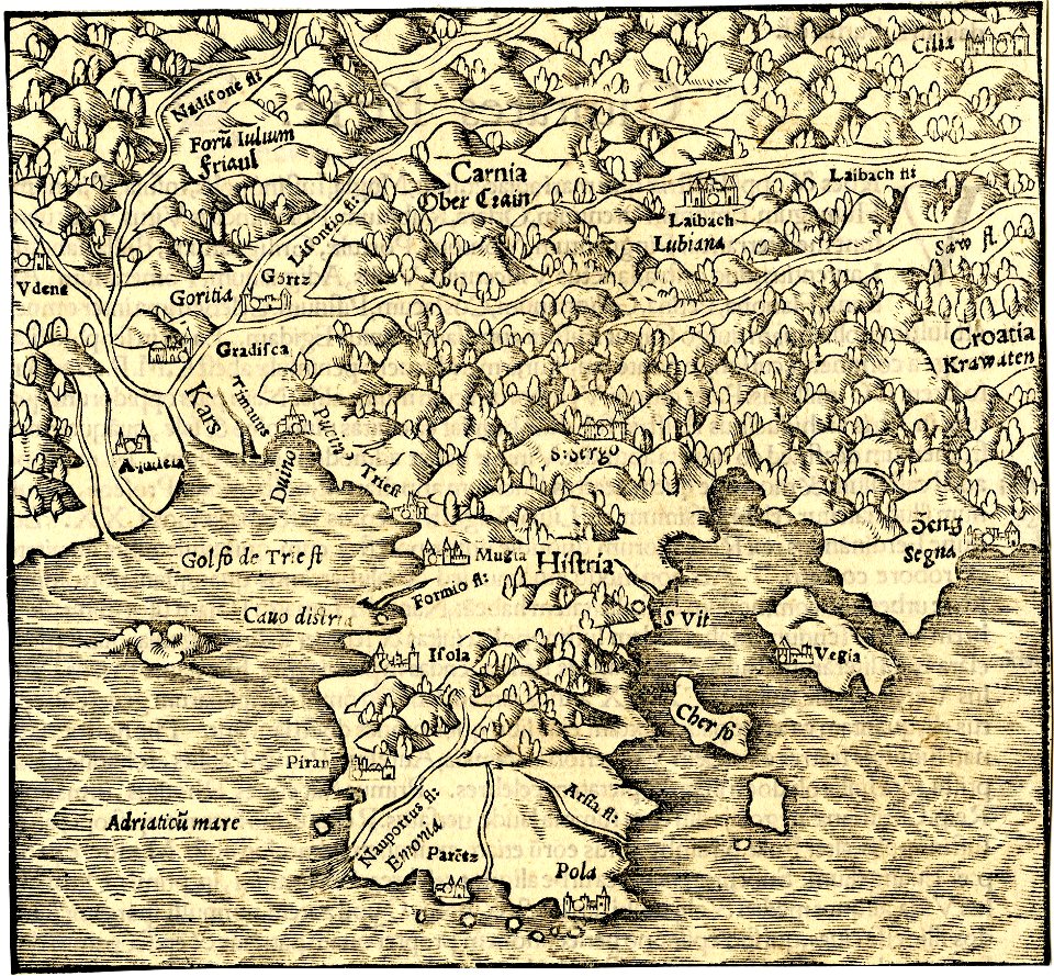
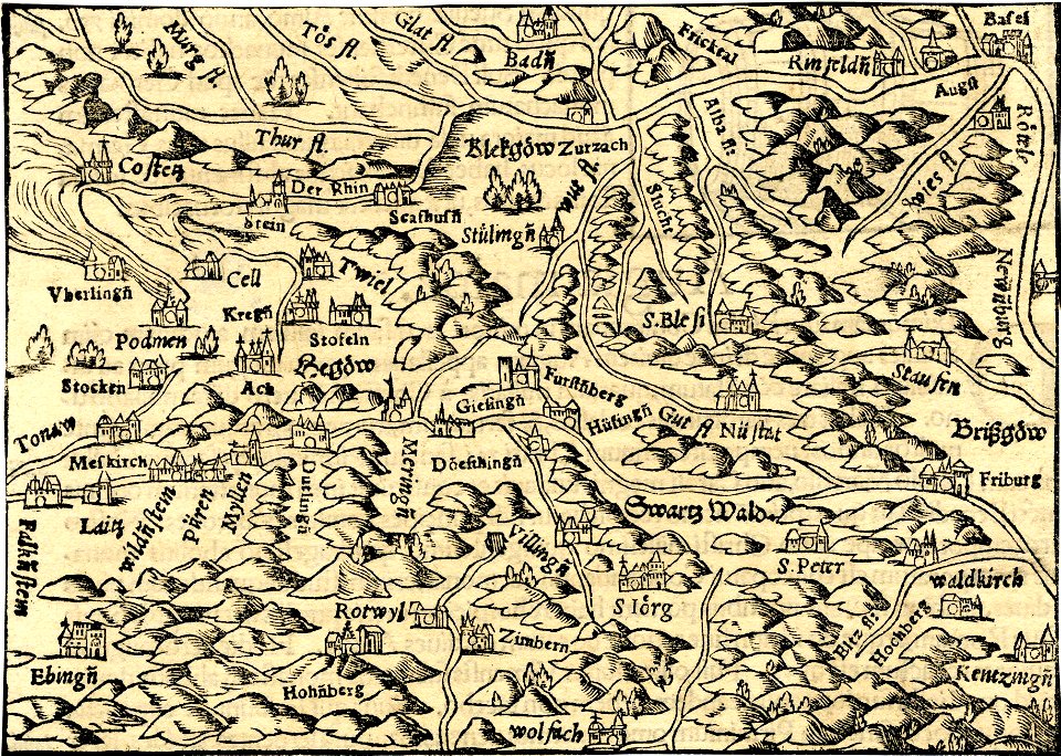
cosmographia (1600) by sebastian münster
old maps of switzerland
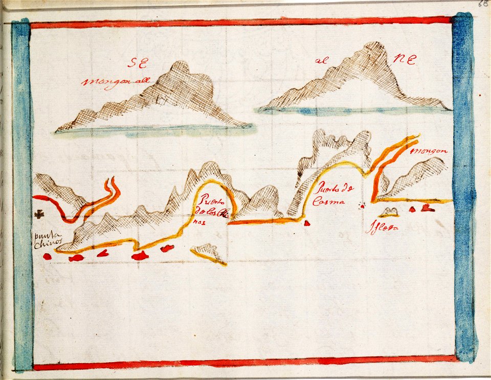
old maps of southeast asia
description de l'universe
old maps of southeast asia
description de l'universe
description de l'universe
old maps of africa
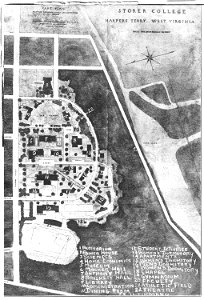
storer college
west virginia
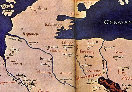
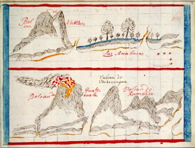
maps of germania magna
details of old maps
description de l'universe
1683 maps of africa
old maps of southeast asia
description de l'universe
charts and maps of the royal museums greenwich
1682 maps
charts and maps of the royal museums greenwich
1682 maps
old celestial maps
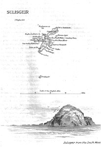
old maps of the outer hebrides
lighthouse maps
charts and maps of the royal museums greenwich
1682 maps
charts and maps of the royal museums greenwich
1682 maps
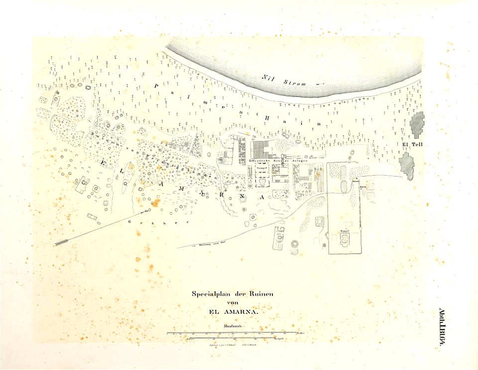
lepsius-projekt - maps
maps of meroe
lepsius-projekt - maps
maps of akhetaten
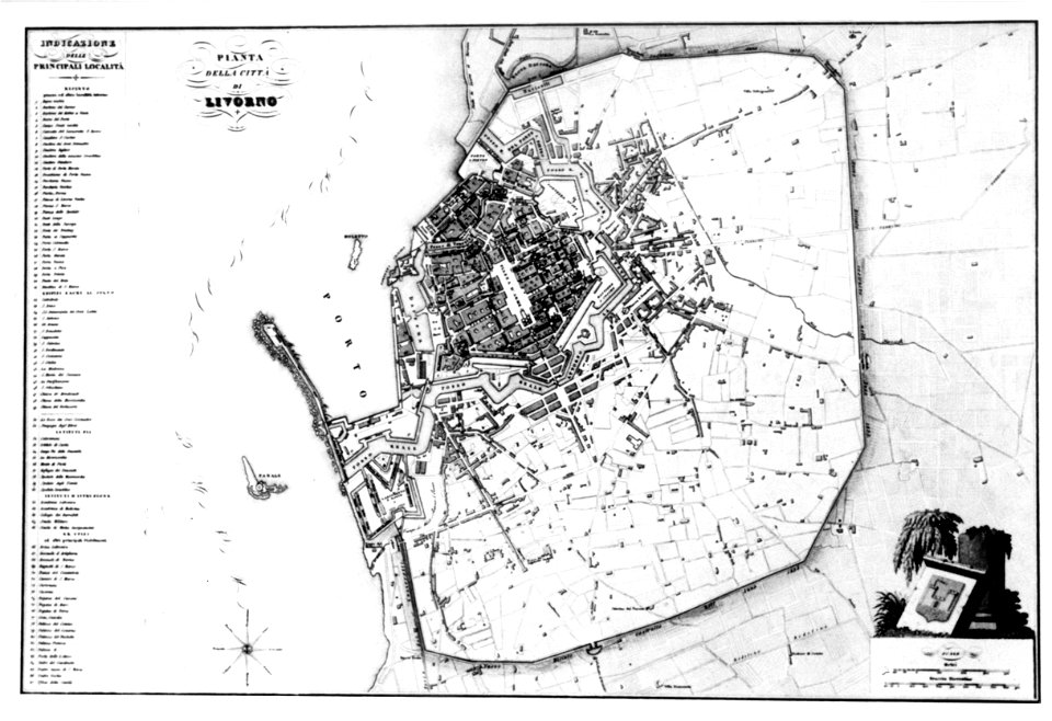
old maps of livorno
description de l'universe
1719 maps of africa
description de l'universe
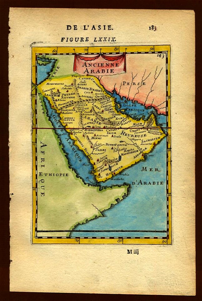
old maps of saudi arabia
maps with cartouches
atlas van der hagen
maps
bear
ukiyo-e by unknown artists
1800s maps of the world
maps made in the 17th century
maps by nicolaes visscher i
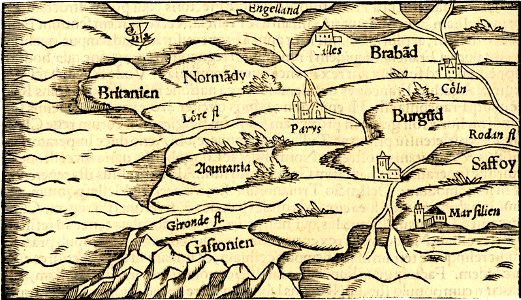
french-language maps
pictorial maps
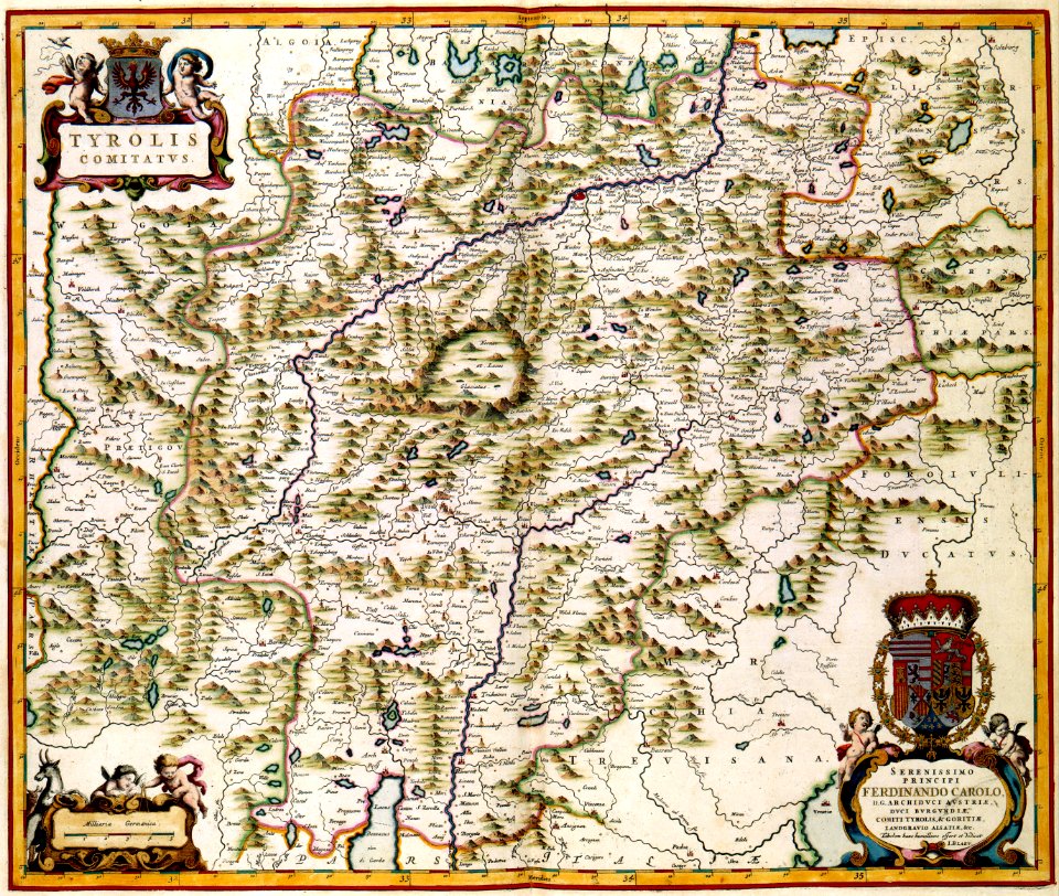
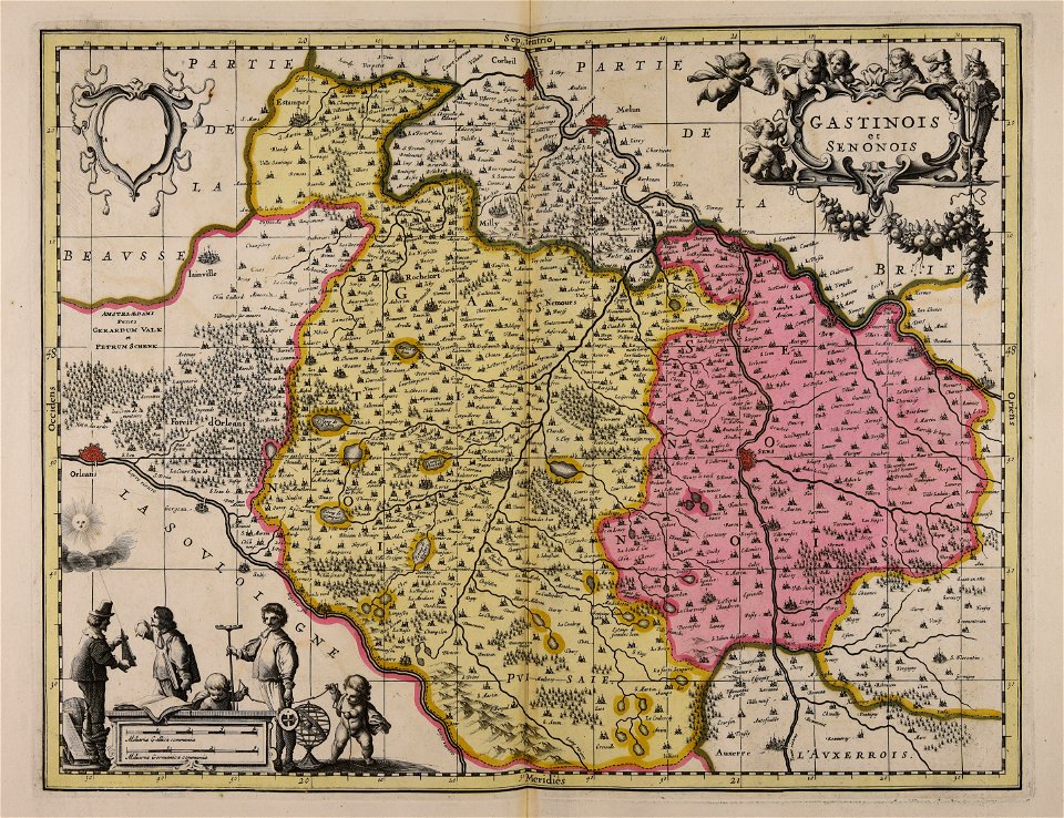
maps made in the 17th century
gerard valck
maps made in the 17th century
gerard valck
atlantis magni tomus primus (biblioteca comunale di trento)
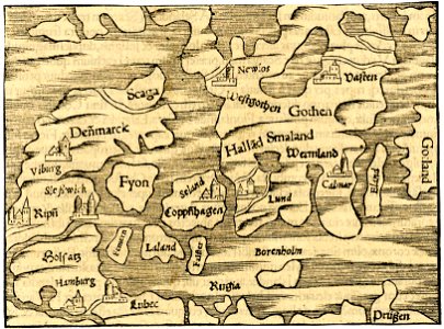
17th-century maps of schleswig-holstein
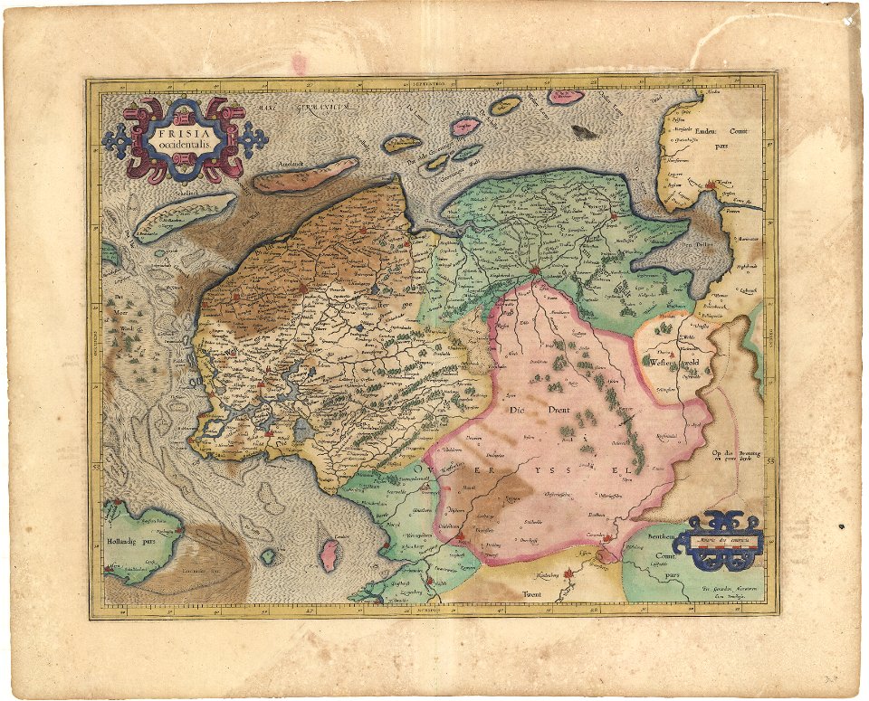
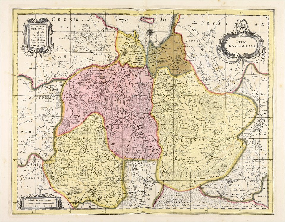
old maps of overijssel
old maps of drenthe
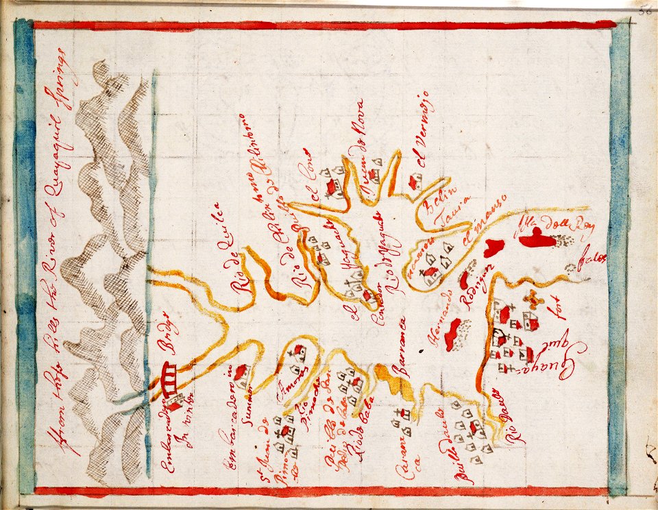
maps in the library of congress
washington
maps in the library of congress
washington
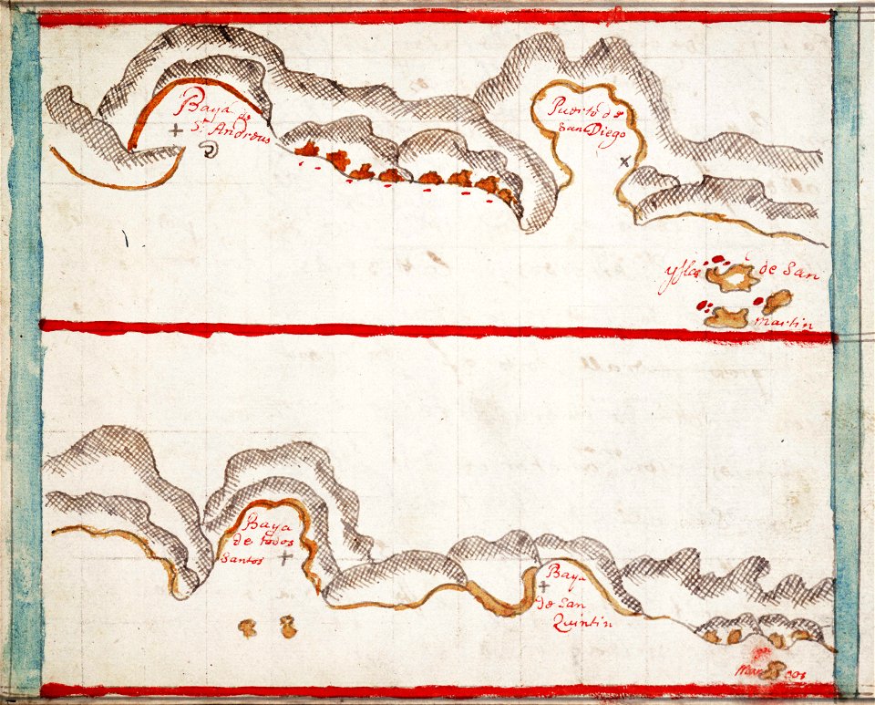
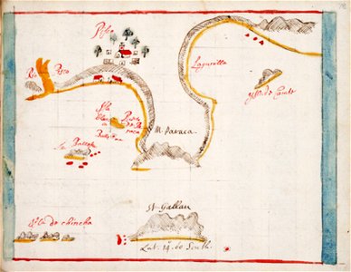
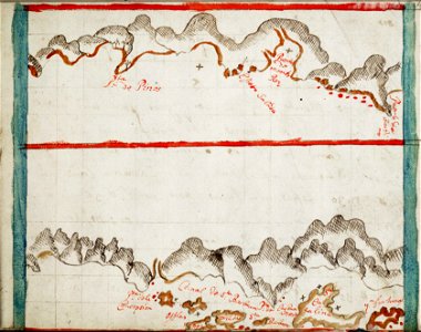
hand-drawn maps and views of world war i battlefields by h.m.
maps of world war i - italian front
maps in the library of congress
new york
maps made in the 17th century
gerard valck
7901 - 8000 of 376,713
Next page
/ 3768