Log in
All resources
Create a design
30 Free Artworks of 18th Century Maps Of India
maps of the dutch east india company - indonesia
18th-century maps of indonesia
thomas salmon (historian)
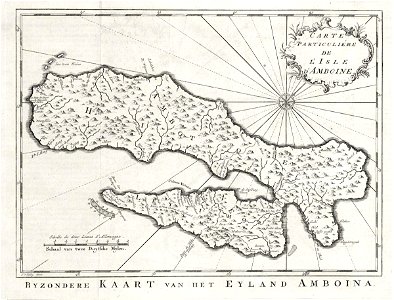
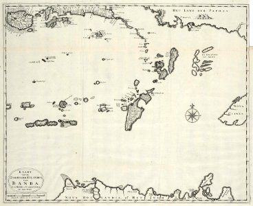
banda islands
1724
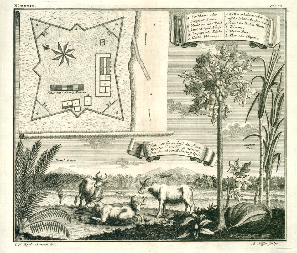
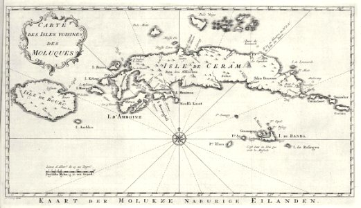
maluku in the 18th century
indonesia in the 18th century
maps of the moluccas
maps of sulawesi
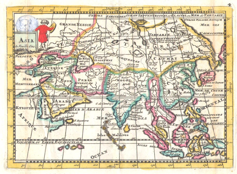
old maps of tibet
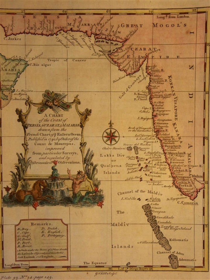
18th-century maps of india
thomas salmon (historian)
18th-century maps of india
thomas salmon (historian)
18th-century maps of india
old maps of tibet
18th-century maps of india
thomas salmon (historian)
18th-century maps of india
thomas salmon (historian)
18th-century maps of india
thomas salmon (historian)
18th-century maps of indonesia
banda islands
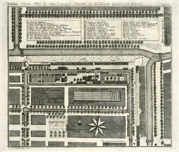
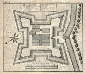
batavia
1740
18th-century maps of indonesia
1753 maps
18th-century maps of indonesia
1705
18th-century maps of indonesia
1753 maps
18th-century maps of indonesia
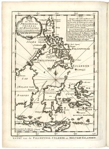
old maps of the philippines
maps by jacques-nicolas bellin
jacques-nicolas bellin
maps of the dutch east india company - indonesia
banda islands
maps of the dutch east india company - indonesia
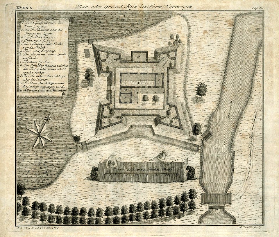
1739
18th-century maps of indonesia
1724
18th-century maps of indonesia
1724
18th-century maps of indonesia
1744
18th-century maps of indonesia
1757
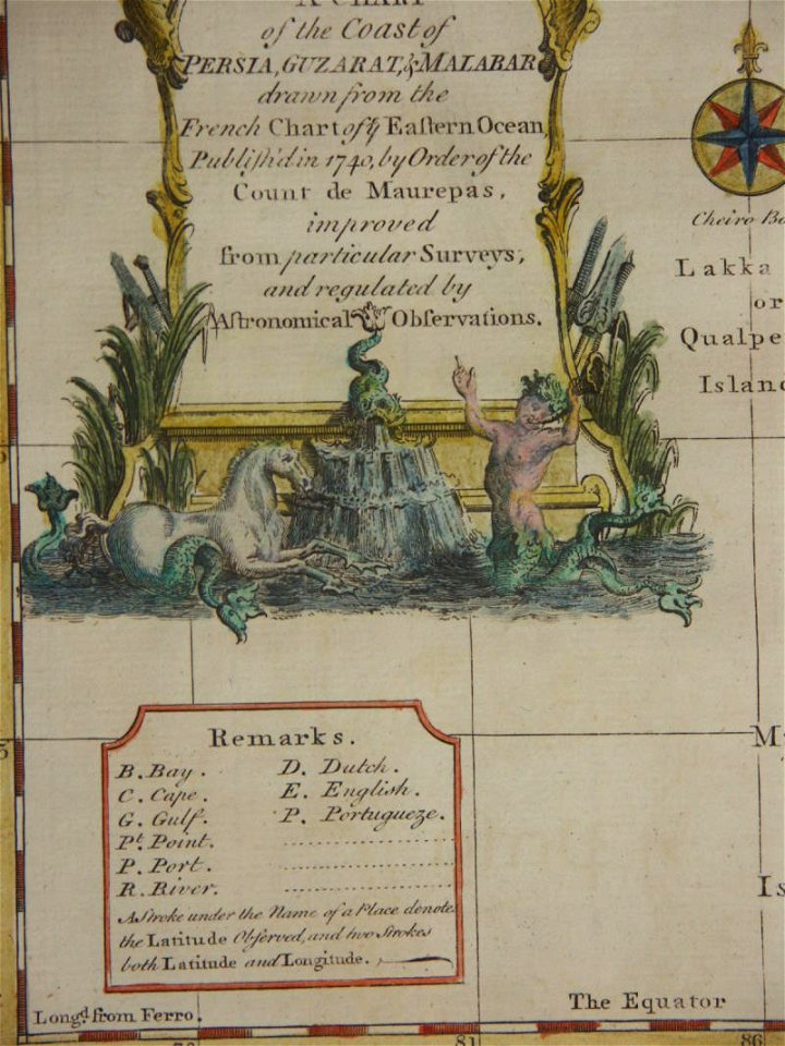
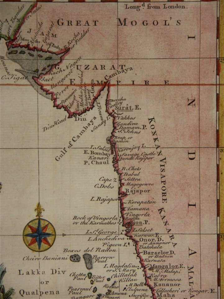
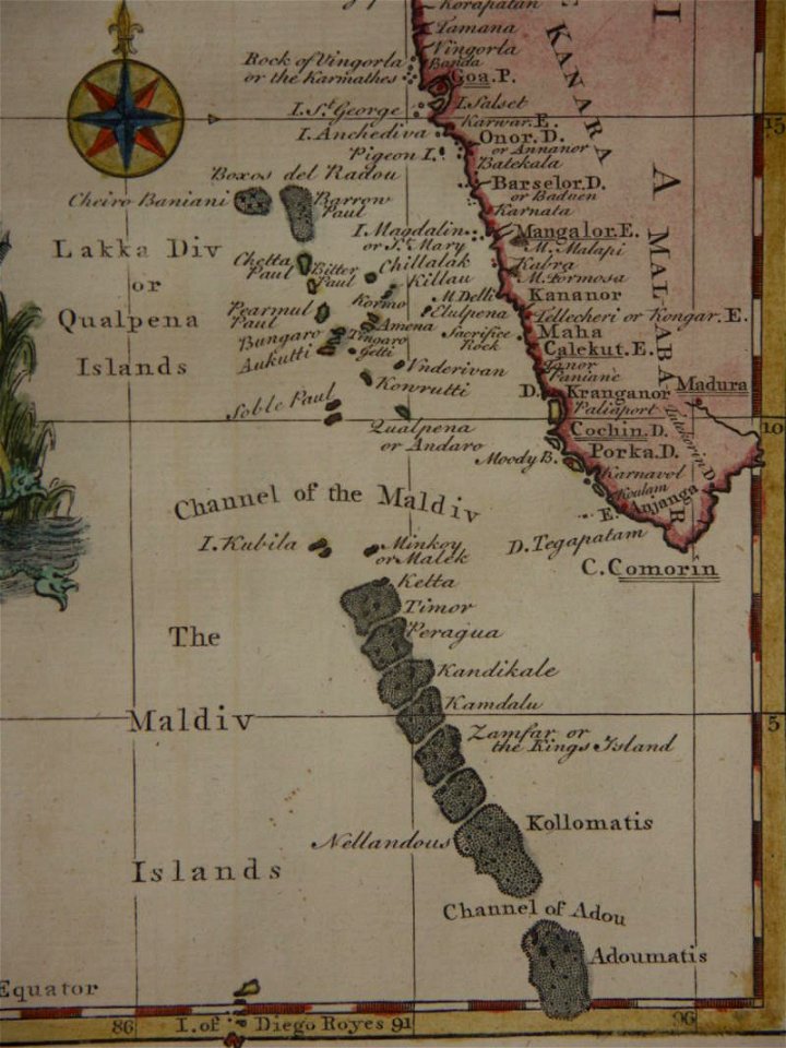
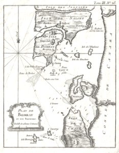
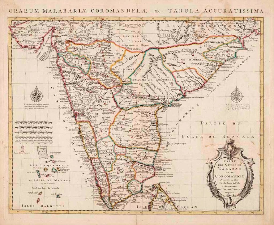
old maps of the malabar coast
18th-century maps of india
18th-century maps of indonesia
1744
maps of the dutch east india company - indonesia
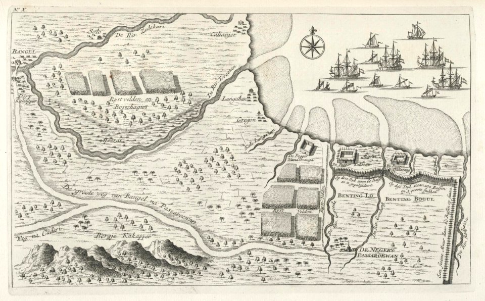
maps of east java
maps of the dutch east india company - indonesia
banda islands
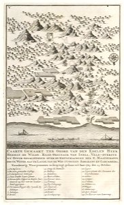
makassar
1757
18th-century maps of indonesia
1724
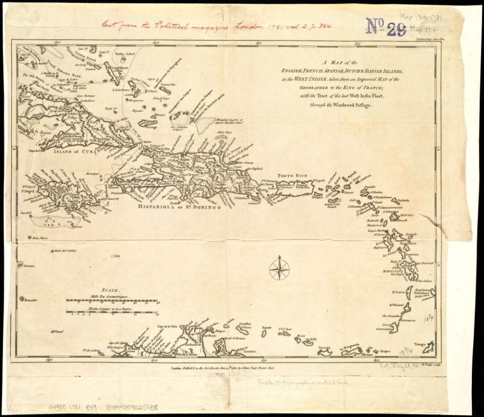
18th-century maps of hispaniola
1780s maps of the caribbean
old maps of indonesia
old maps of tibet
maps of the andaman islands
18th-century maps of india
ottomar elliger (ii)
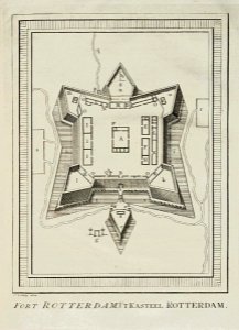
fort rotterdam
british east india company
london
1 - 30 of 30
/ 1