Log in
All resources
Create a design
376,713 Free Images of Mapping
maps made in the 17th century
maps by pieter schenk (i)
gerard valck
atlantis magni tomus tertius (biblioteca comunale di trento)
maps in the library of congress
new york
description de l'universe
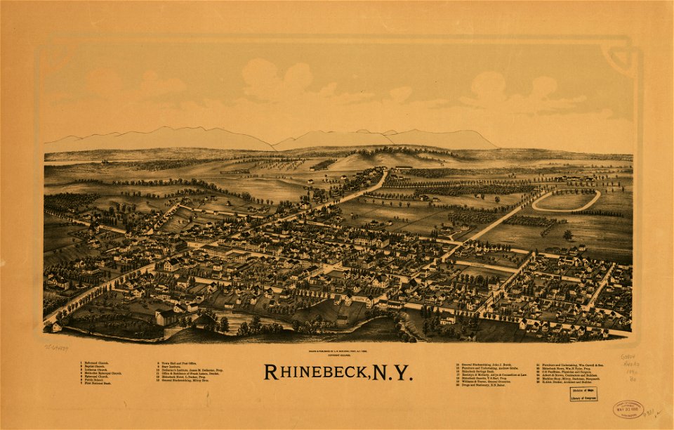
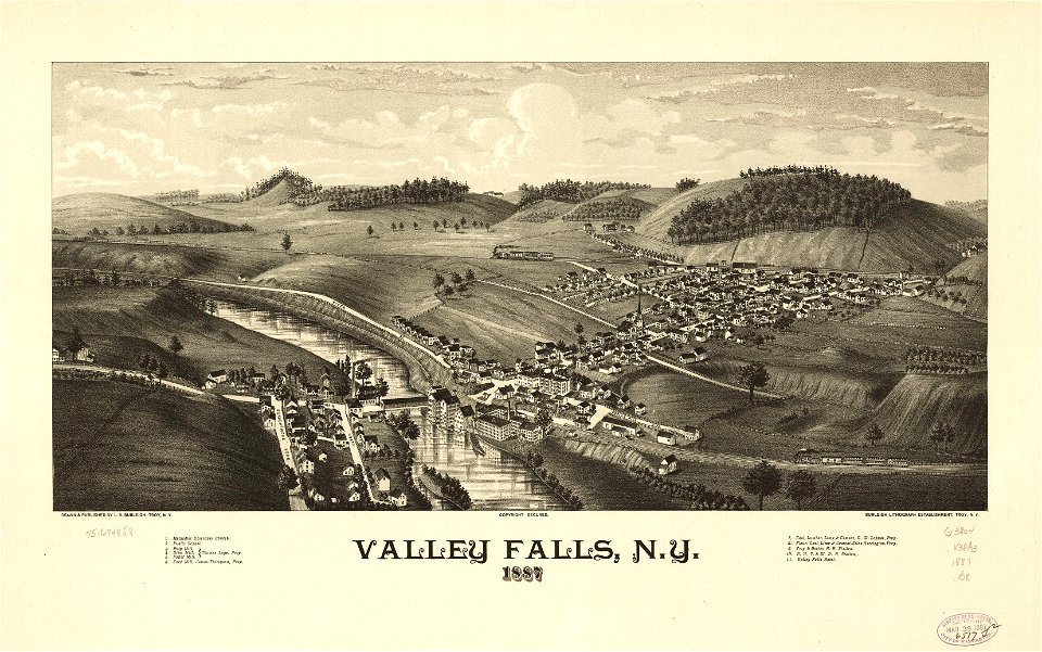
town maps by l. r. burleigh
l. r. burleigh
charts and maps of the royal museums greenwich
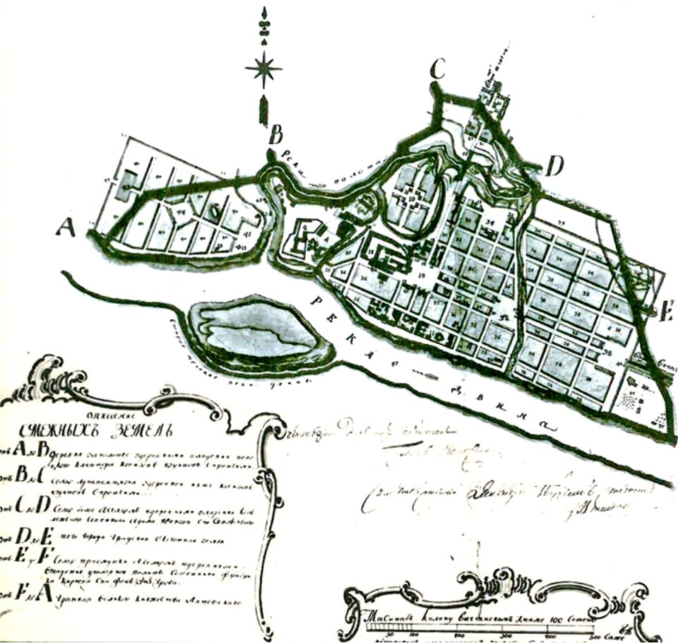
maps in russian state archives of ancient documents
old maps of polotsk
charts and maps of the royal museums greenwich
1682 maps
charts and maps of the royal museums greenwich
1682 maps
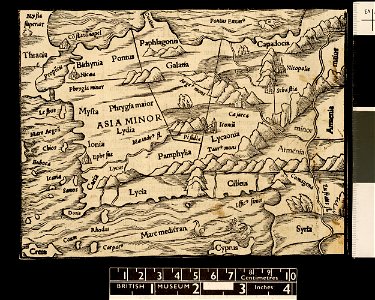
maps in the british museum
maps in the british museum
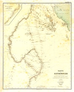
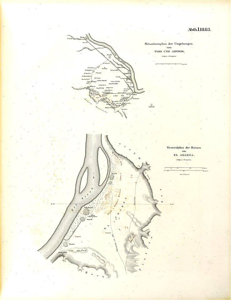
lepsius-projekt - maps
1850s maps of sudan
lepsius-projekt - maps
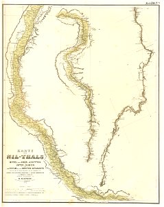
old maps of the nile
maps in the library of congress
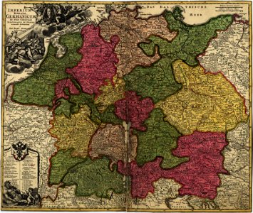
18th-century maps of germany
maps by royal bavarian land tax commission
old maps of freising
cosmographia (1600) by sebastian münster
old maps of moscow
illustrations of cosmographia (münster)
old map
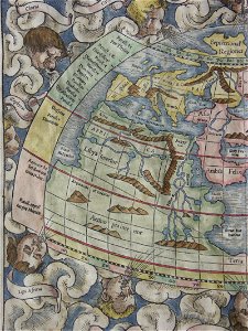
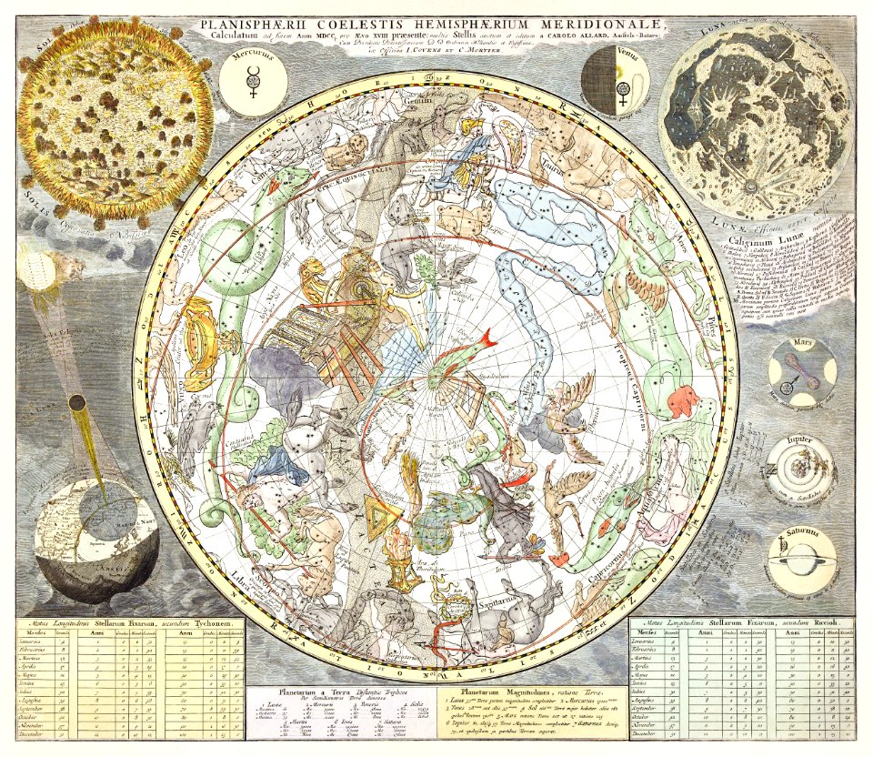
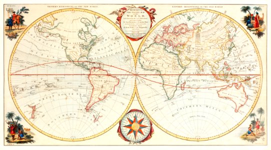
old maps of earth's hemispheres
1839 maps
old maps of southeast asia
description de l'universe
illustrations of cosmographia (münster)
old map
old maps of hérault
alexis donnet
old maps of southeast asia
description de l'universe
lepsius-projekt - maps
abydos
maps in the library of congress
1890 maps of new york (state)
old maps of southeast asia
description de l'universe
historical maps of warsaw
1656 maps
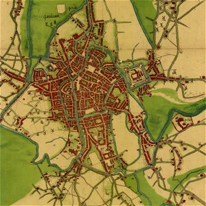
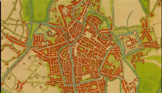
map of ghent by jacob van deventer
charts and maps of the royal museums greenwich
1682 maps
maps in the british museum
maps in the british museum
old maps of southeast asia
description de l'universe
maps in london labour and the london poor (1851)
illustrations of cosmographia (münster)
old map
maps in the library of congress
p.s. duval & son
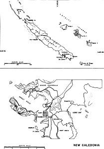
nouméa in world war ii
nouméa
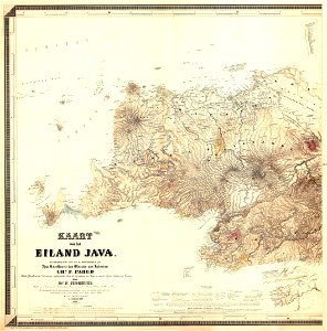
maps of west java
1855 maps
new york
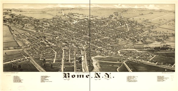
rome
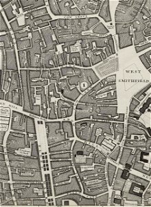
john rocque's 1746 map of london
molly house
charts and maps of the royal museums greenwich
1682 maps
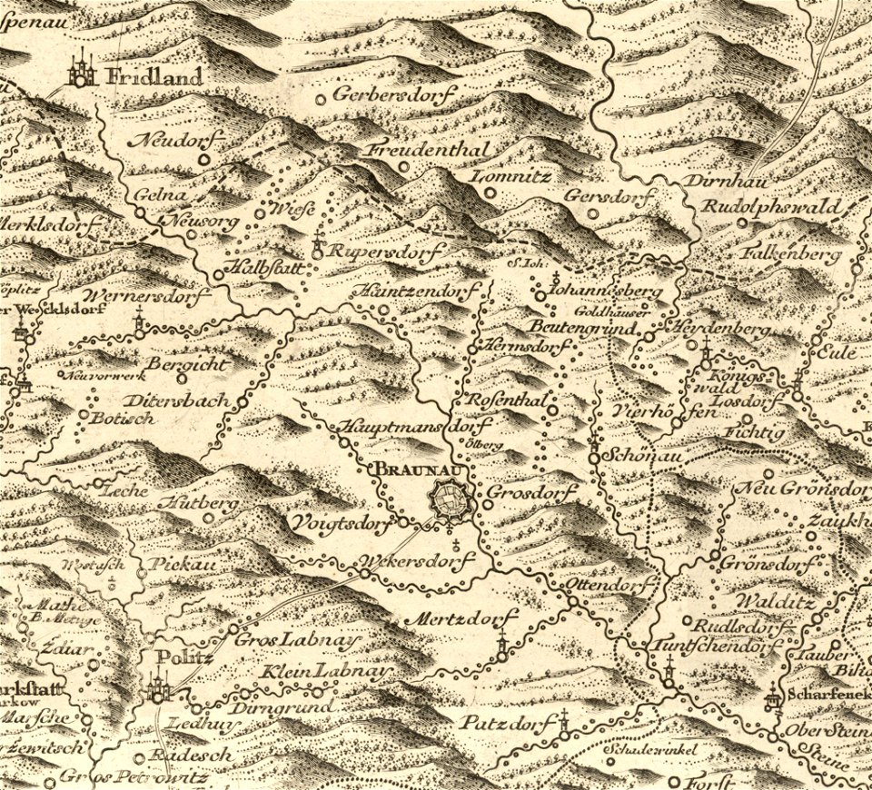
müller's map of bohemia
history of broumov
topographic maps of palestine
jerusalem
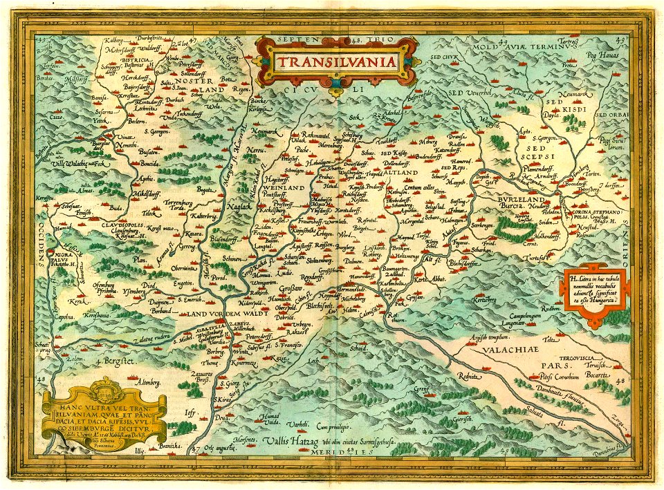
1612 maps of transylvania
maps by abraham ortelius
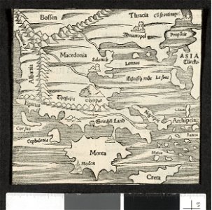
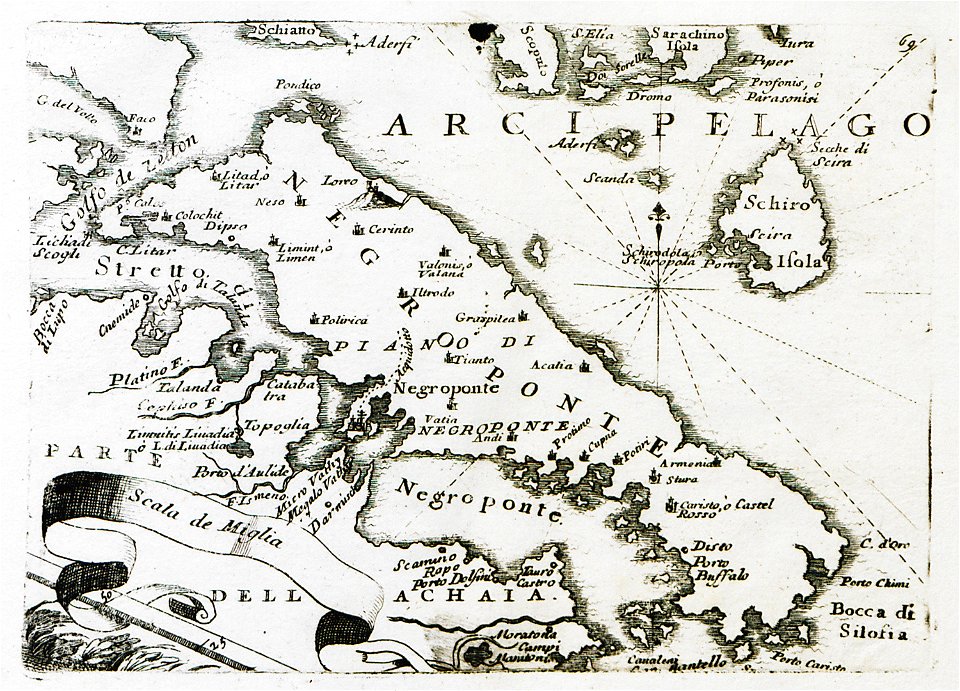
old maps of the peloponnese
maps by coronelli
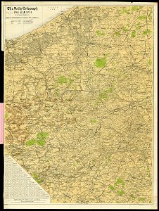
maps of world war i by the daily telegraph
maps of world war i by the daily telegraph
maps of world war i by the daily telegraph
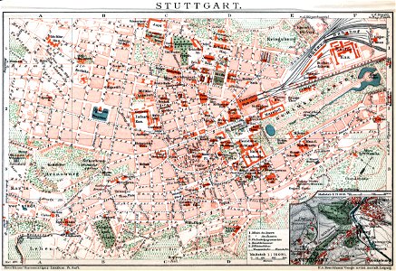
brockhaus' konversations-lexikon (1892)
maps by brockhaus
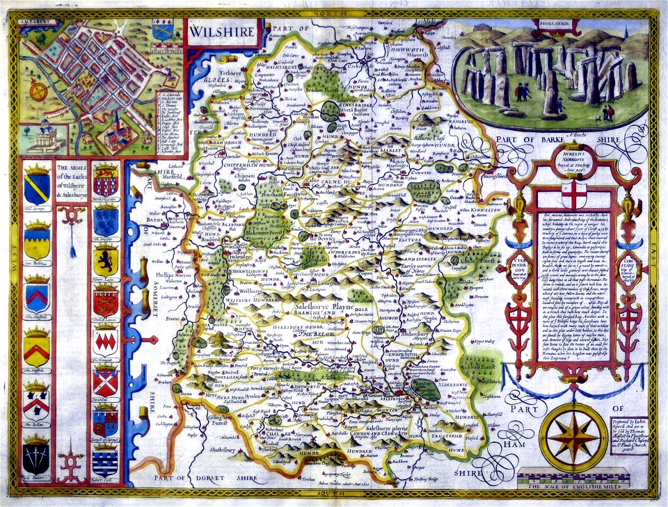
county maps of england by john speed
history of wiltshire
maps in the library of congress
1884 maps of new york (state)
württembergische flurkarte 1:2.500
1858 maps
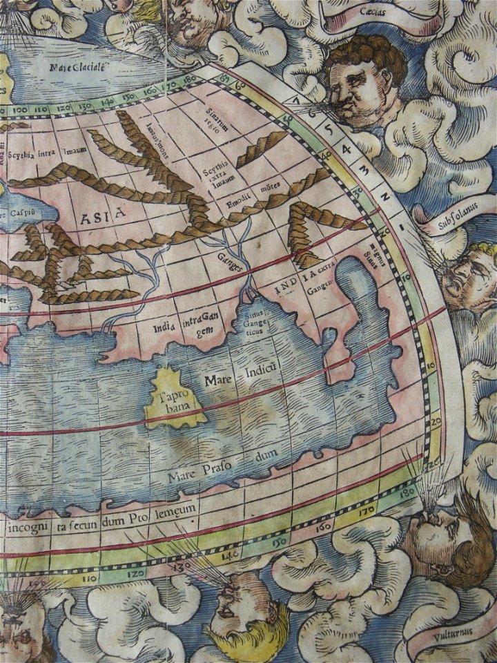
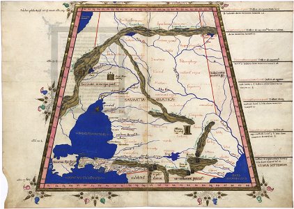
ptolemy's 9th european map
maps by sebastian münster
description de l'universe
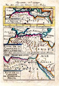
old maps of saudi arabia
map of ghent by jacob van deventer
map of ghent by jacob van deventer
arizona
phoenix
popular science monthly illustrations/volume 13
drainage basin maps of north america
astronomy
maps
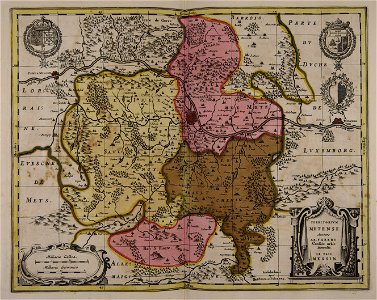
17th-century maps of france
maps with cartouches
maps of the dutch east india company - south africa
1726 maps
british battles on land and sea
1873 drawings
prestedelijke bijlmermeer
old maps of amsterdam
1850s maps of south america
karl spruner von merz
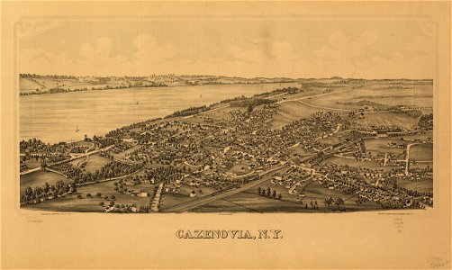
cazenovia
new york
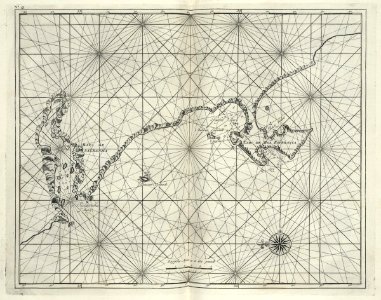
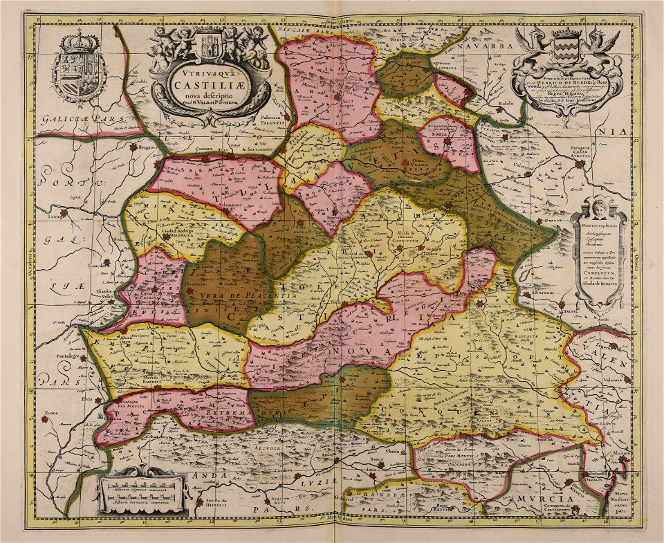
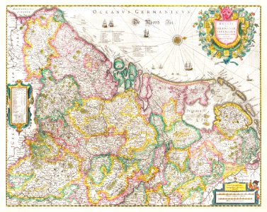
maps made in the 17th century
gerard valck
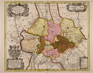
old maps of silesia
gerard valck
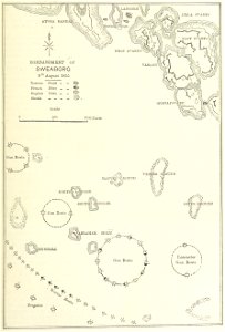
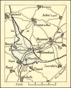
hand-drawn maps and views of world war i battlefields by h.m.
western front maps of world war i
maps made in the 17th century
gerard valck
maps made in the 17th century
gerard valck
maps made in the 17th century
gerard valck
maps made in the 17th century
gerard valck
maps made in the 17th century
old maps of westphalia
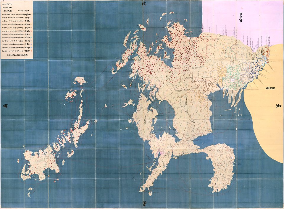
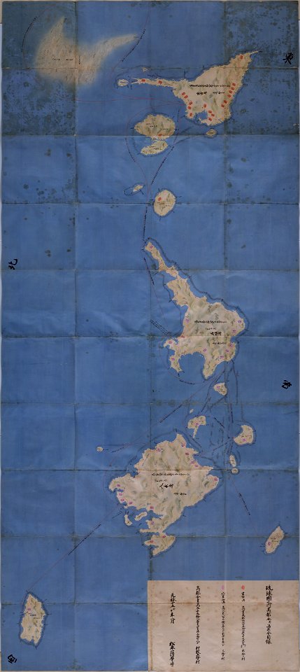
maps in the national archives of japan
hizen province
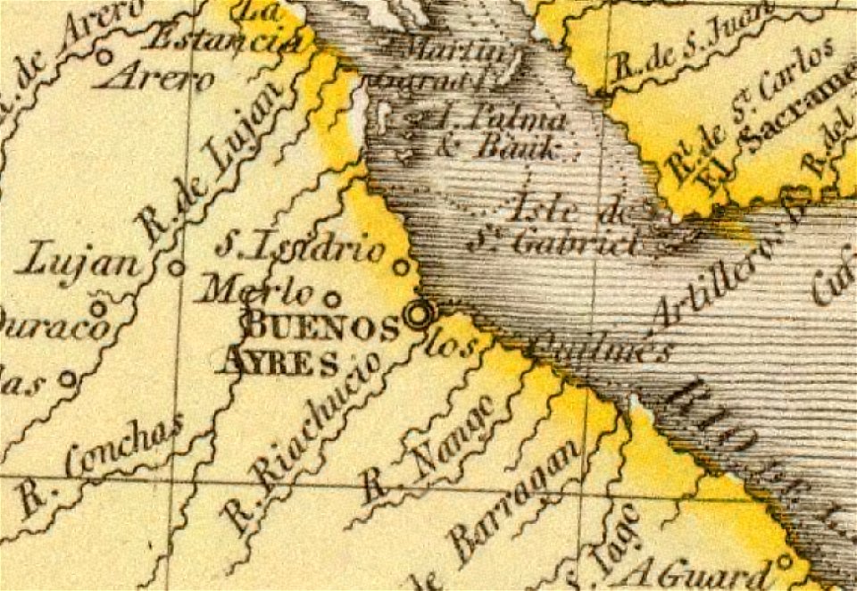
old maps of the río de la plata
1812 maps
maps made in the 17th century
gerard valck
maps made in the 17th century
gerard valck
cosmographia claudii ptolomaei alexandrini
latin-language maps
old maps of the canton of zürich
old maps of switzerland
maps made in the 17th century
gerard valck
maps in the library of congress
new york
illustration
maps
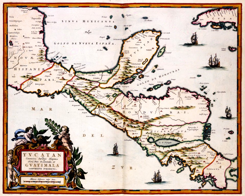
maps of the yucatan peninsula
maps with cartouches
cornell university library
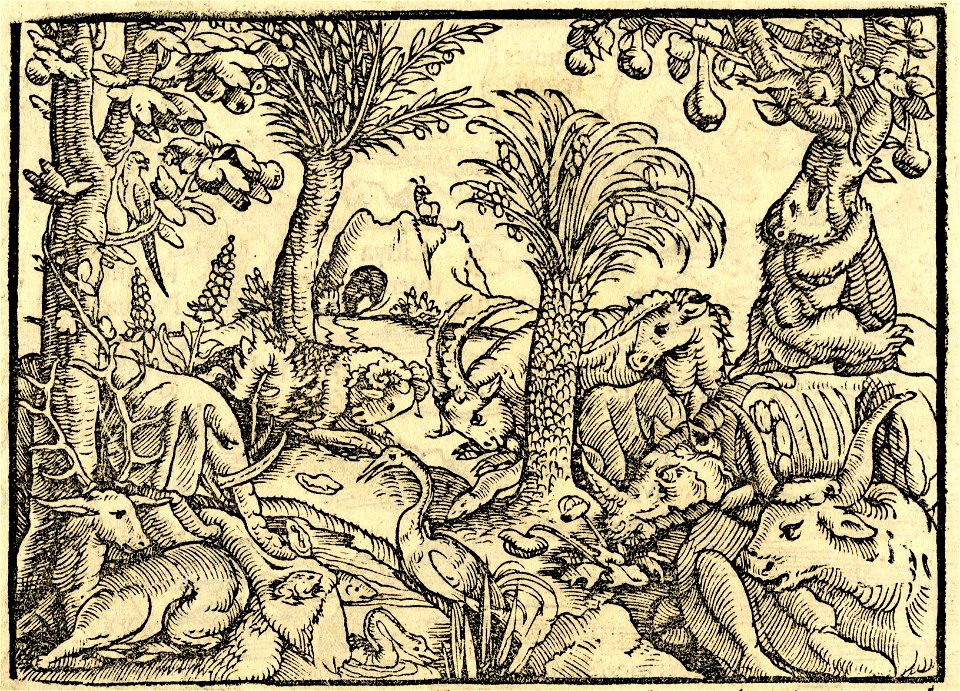
garden of eden
tattoo
star
maps with cartouches
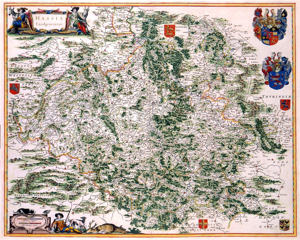
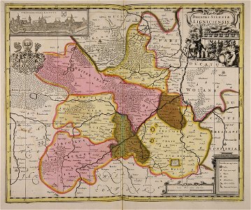
old maps of hesse
illustration
maps
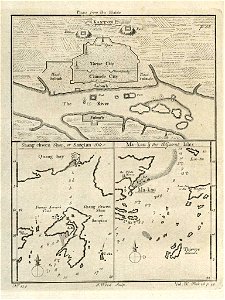
old maps of guangzhou
1745
maps by nicolaes visscher i
old maps of upper austria
old maps of silesia
gerard valck
important cultural property of japan in tokyo
maps in the national archives of japan
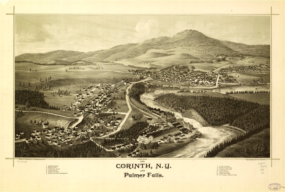
new york
corinth
maps made in the 17th century
gerard valck
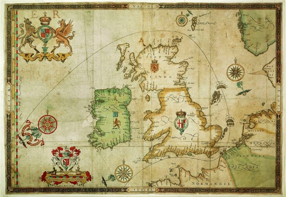
the track of the armada around britain and ireland
london
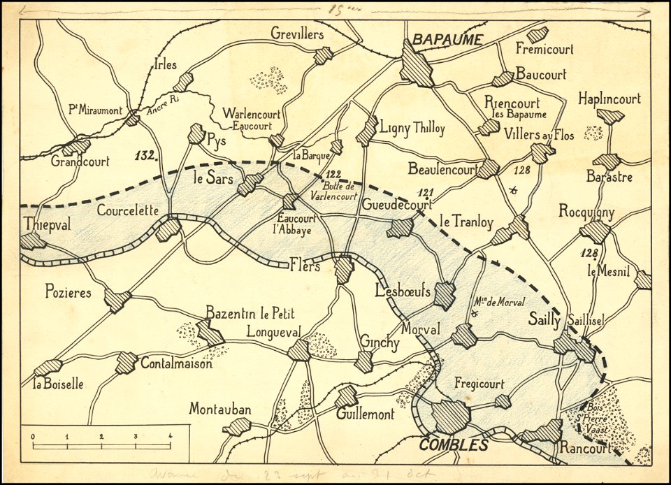
hand-drawn maps and views of world war i battlefields by h.m.
western front maps of world war i
maps made in the 17th century
gerard valck
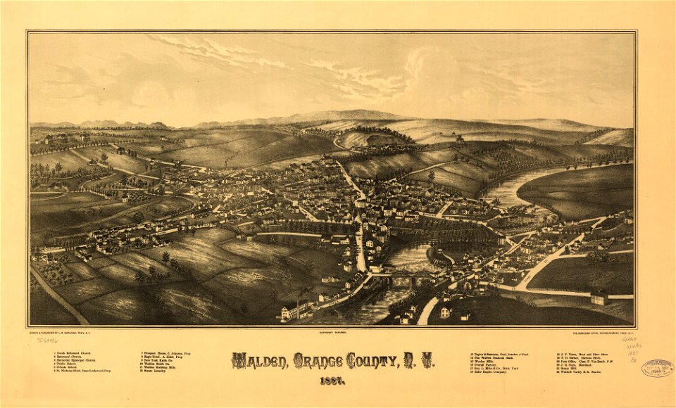
new york
walden
maps in the library of congress
new york
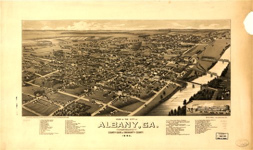
georgia
albany
georgia
albany
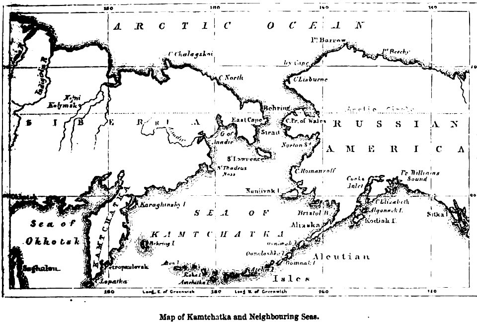
maps of kamchatka
1856 maps
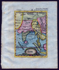
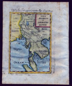
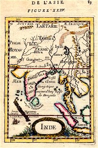
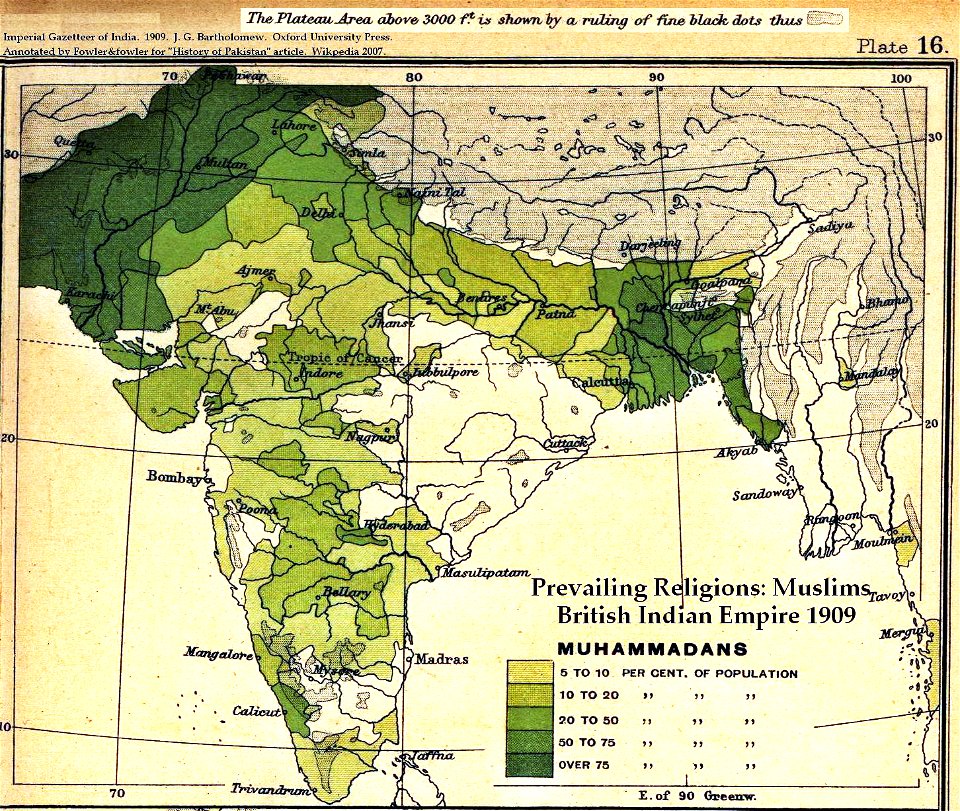
old maps of the indian subcontinent
dominion of india
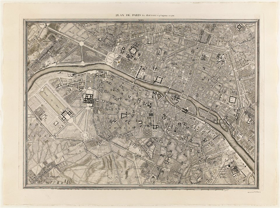
maps of paris from paris musées
plan de roussel
cosmographia claudii ptolomaei alexandrini
latin-language maps
maps in the national archives of japan
hizen province
maps made in the 17th century
gerard valck
maps made in the 17th century
old maps of westphalia
maps made in the 17th century
gerard valck
8201 - 8300 of 376,713
Next page
/ 3768