Log in
All resources
Create a design
376,713 Free Images of Mapping
maps of the west-indische compagnie
charts and maps of the royal museums greenwich
1682 maps
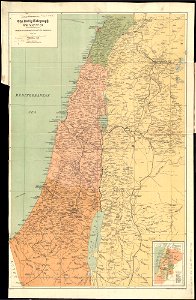
maps in the library of congress
maps of world war i by the daily telegraph
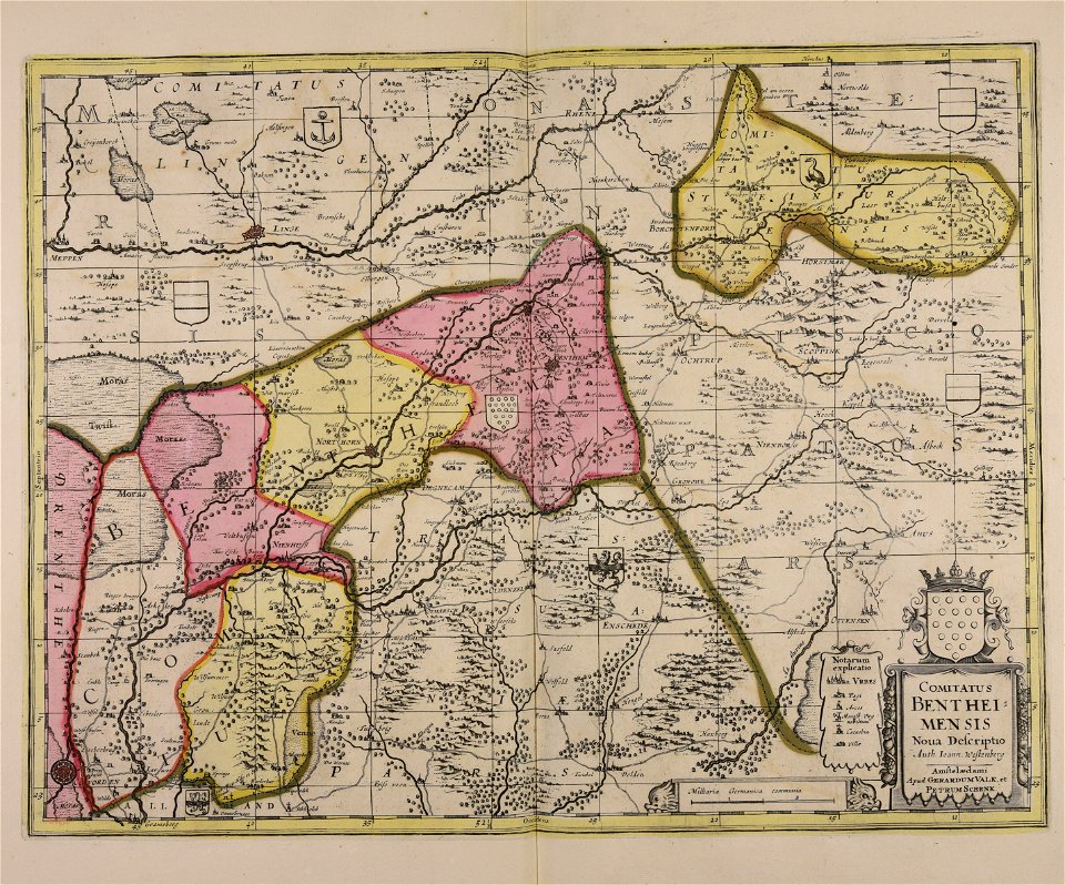
gerard valck
maps made in the 17th century
maps by pieter schenk (i)
old maps of the dutch east india company
1647
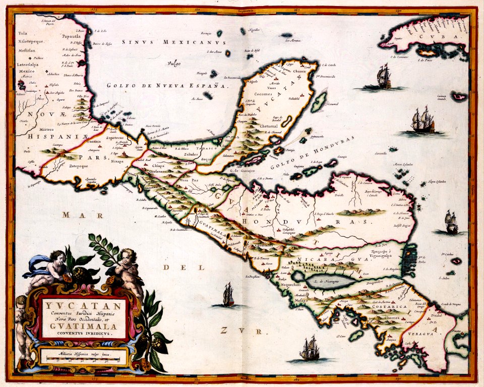
maps of the yucatan peninsula
maps with cartouches
cornell university library
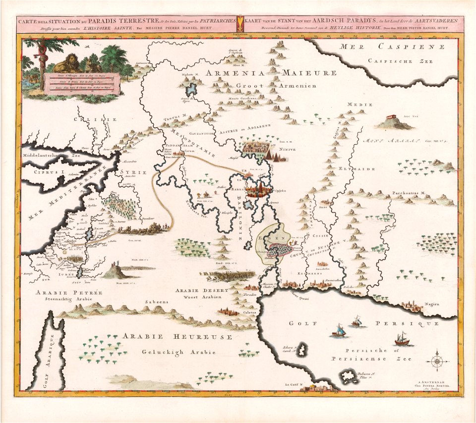
garden of eden
charts and maps of the royal museums greenwich
1682 maps
maps in the british museum
maps in the british museum
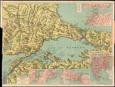
maps of world war i by the daily telegraph
maps of world war i by the daily telegraph
maps of world war i by the daily telegraph
maps of world war i by the daily telegraph
maps of world war i by the daily telegraph
atlas of the russian empire (1800)
maps of volyn governorate
maps in the library of congress
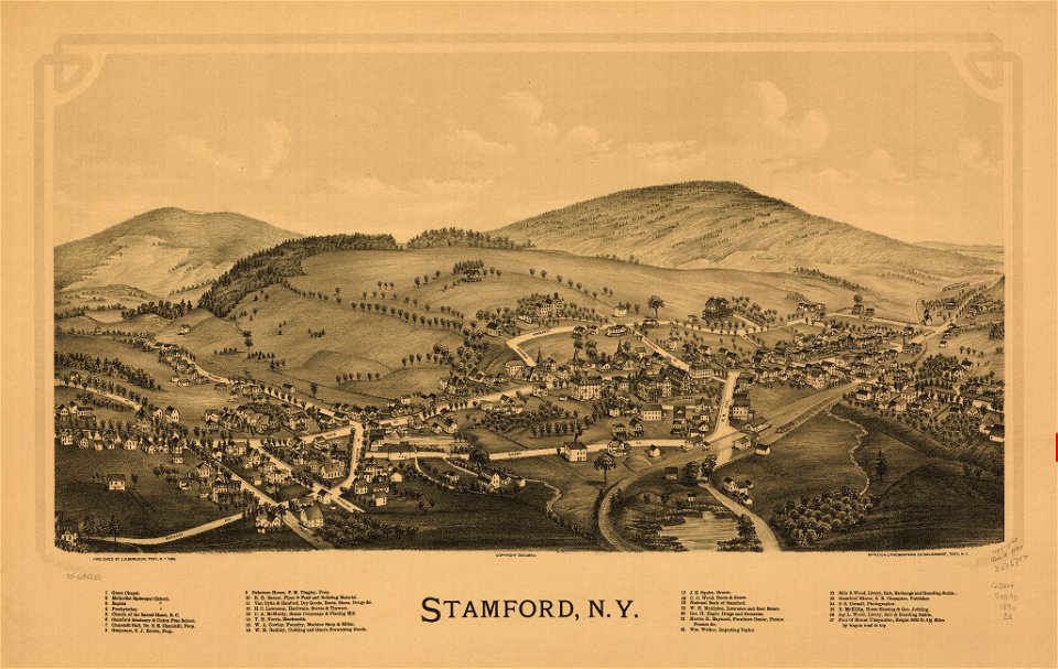
1884 maps of new york (state)
maps in the library of congress
1884 maps of new york (state)
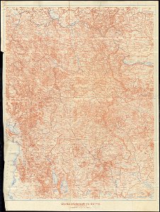
württembergische flurkarte 1:2.500
1858 maps
john rocque's 1746 map of london
alie street
charts and maps of the royal museums greenwich
1682 maps
charts and maps of the royal museums greenwich
1682 maps
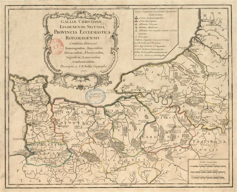
old maps published in the gallia christiana
maps of catholic dioceses of france
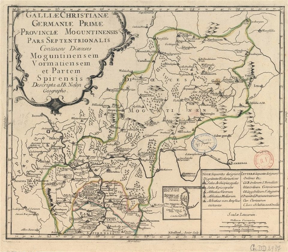
old maps published in the gallia christiana
maps of catholic dioceses of france
old maps published in the gallia christiana
maps of catholic dioceses of france
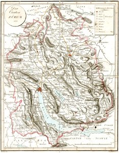
old maps of the canton of zürich
heinrich keller
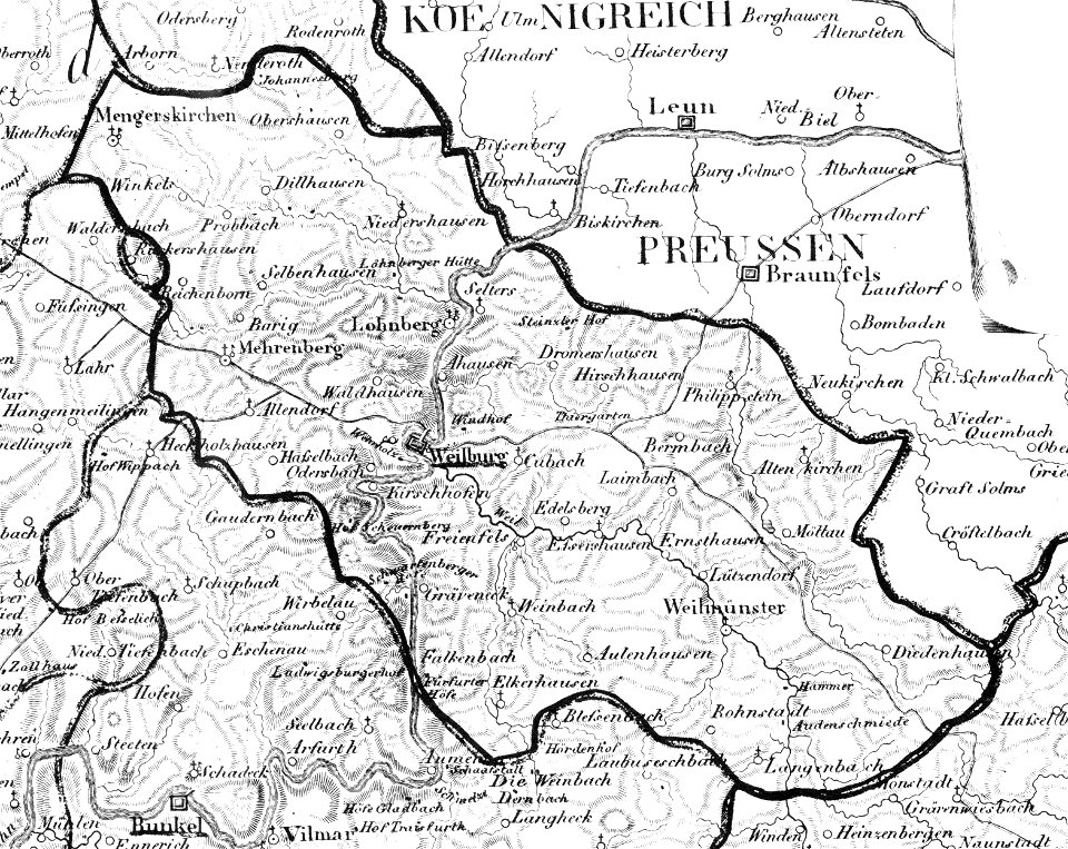
map „das herzogthum nassau“ by j.b. fischer
1828
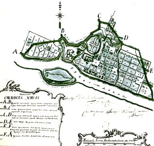
maps in russian state archives of ancient documents
old maps of polotsk
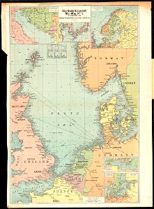
maps of world war i by the daily telegraph
maps of world war i by the daily telegraph
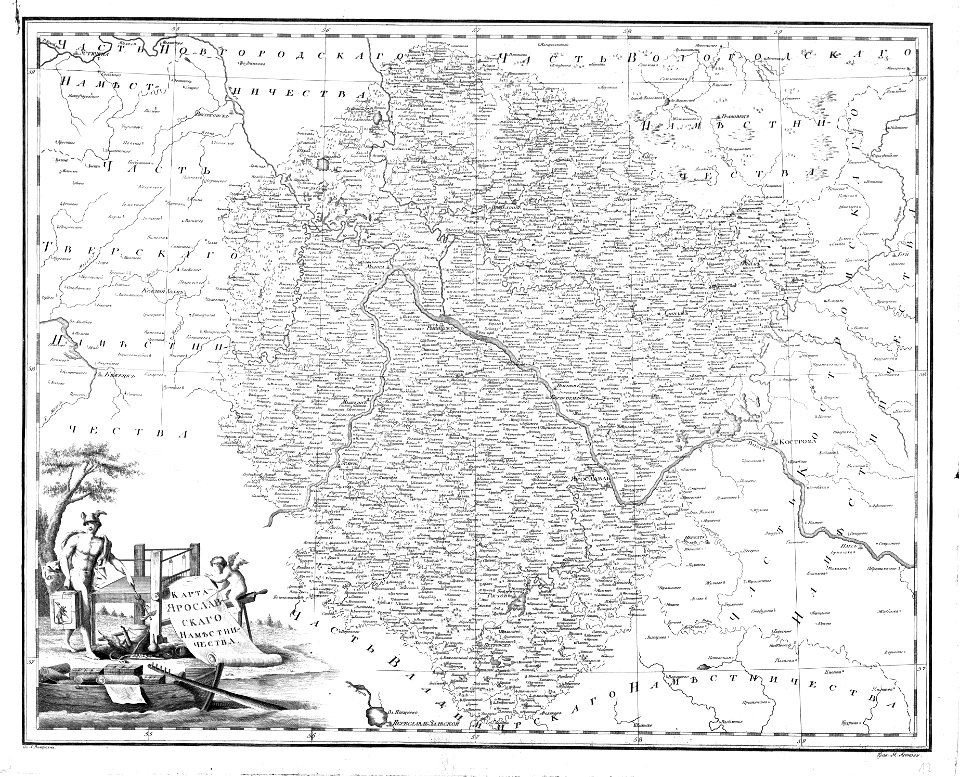
atlas of the russian empire (1792)
old maps of yaroslavl governorate
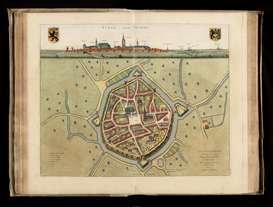
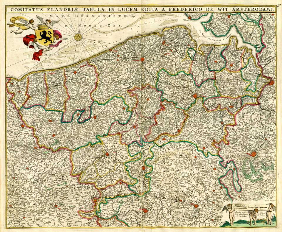
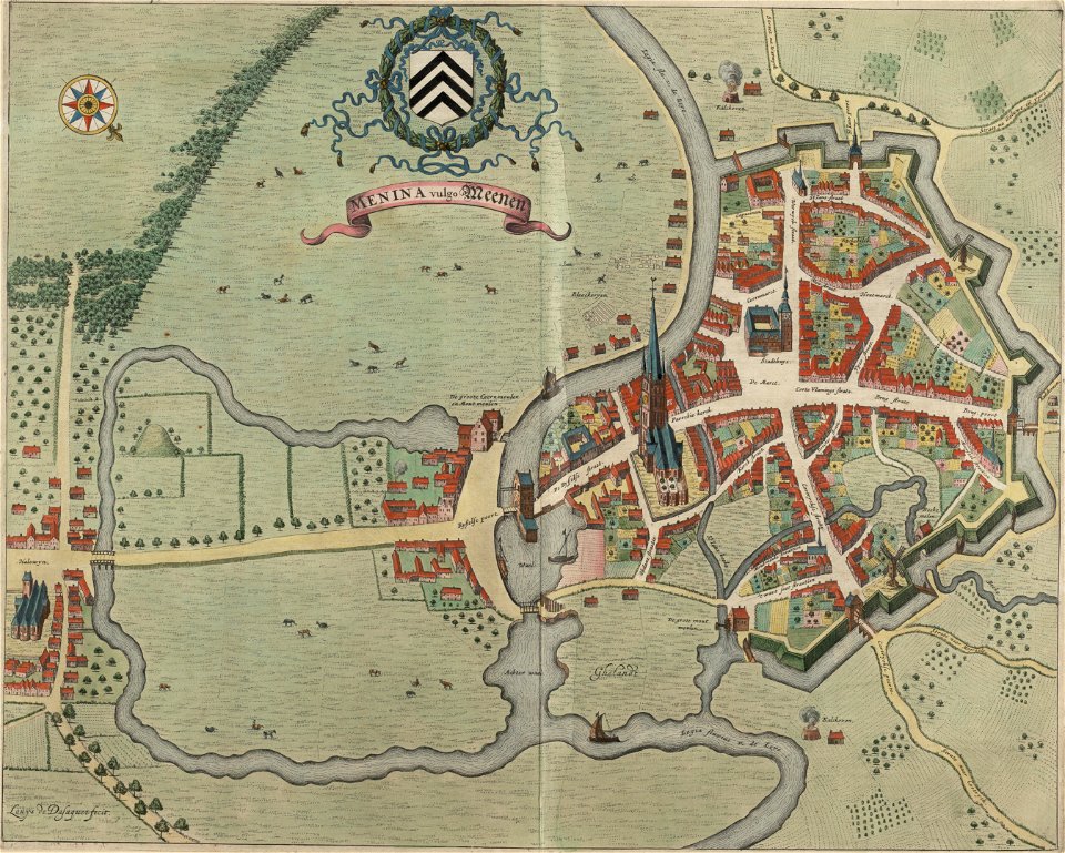
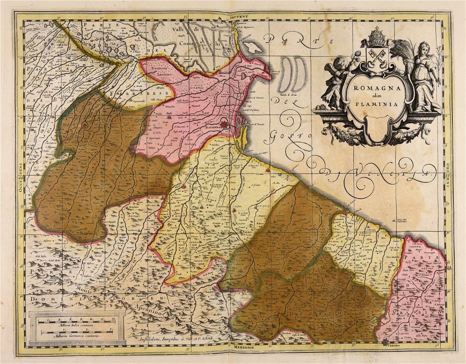
flandria illustrata
veurne
charts and maps of the royal museums greenwich
1682 maps
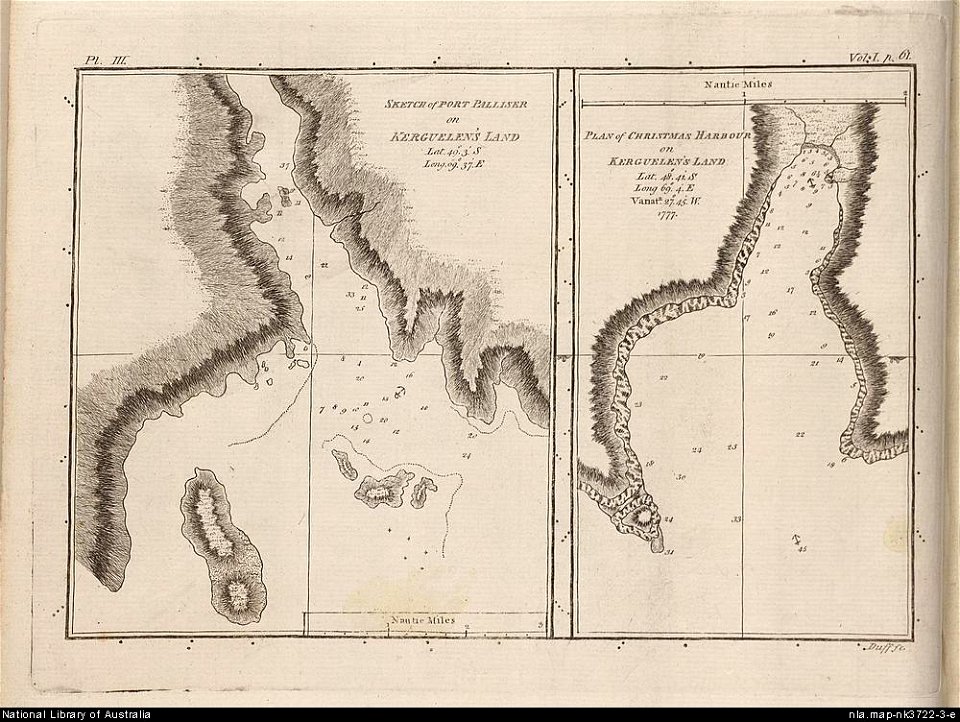
james cook (maps relating to)
old maps of newfoundland
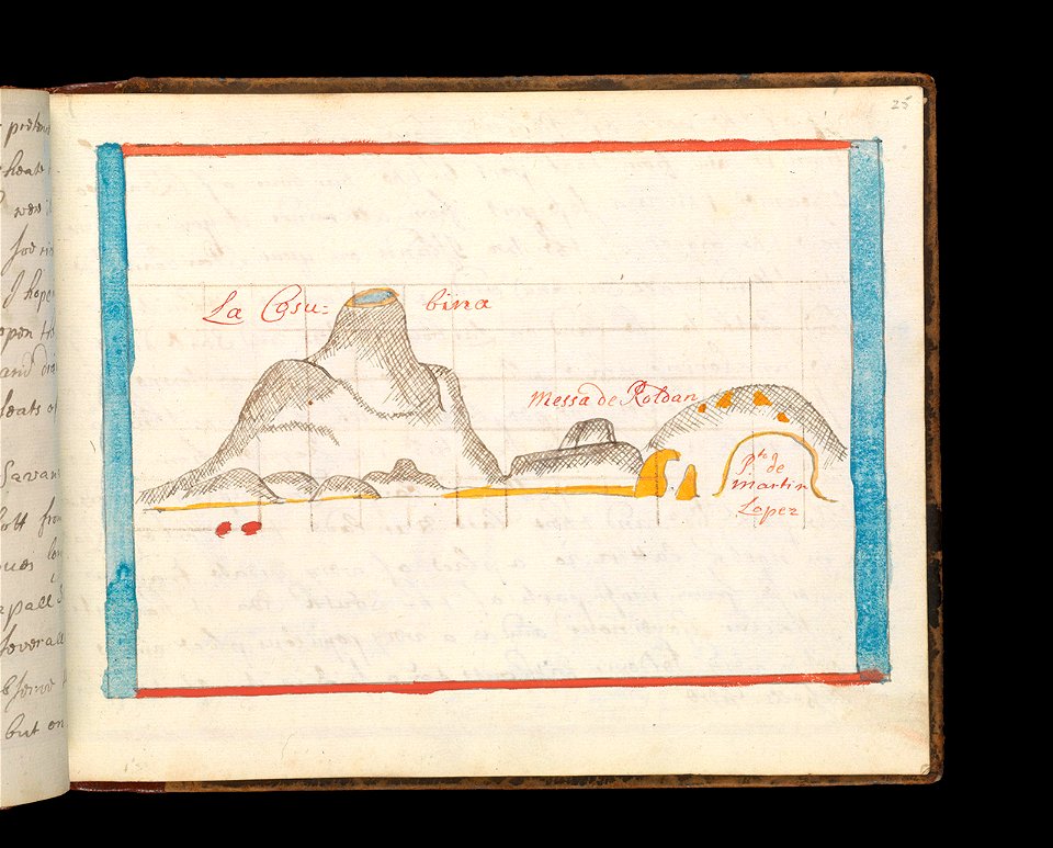
old maps of the kerguelen islands
port-christmas
historical maps of warsaw
1656 maps
old maps of the dutch east india company
1730s
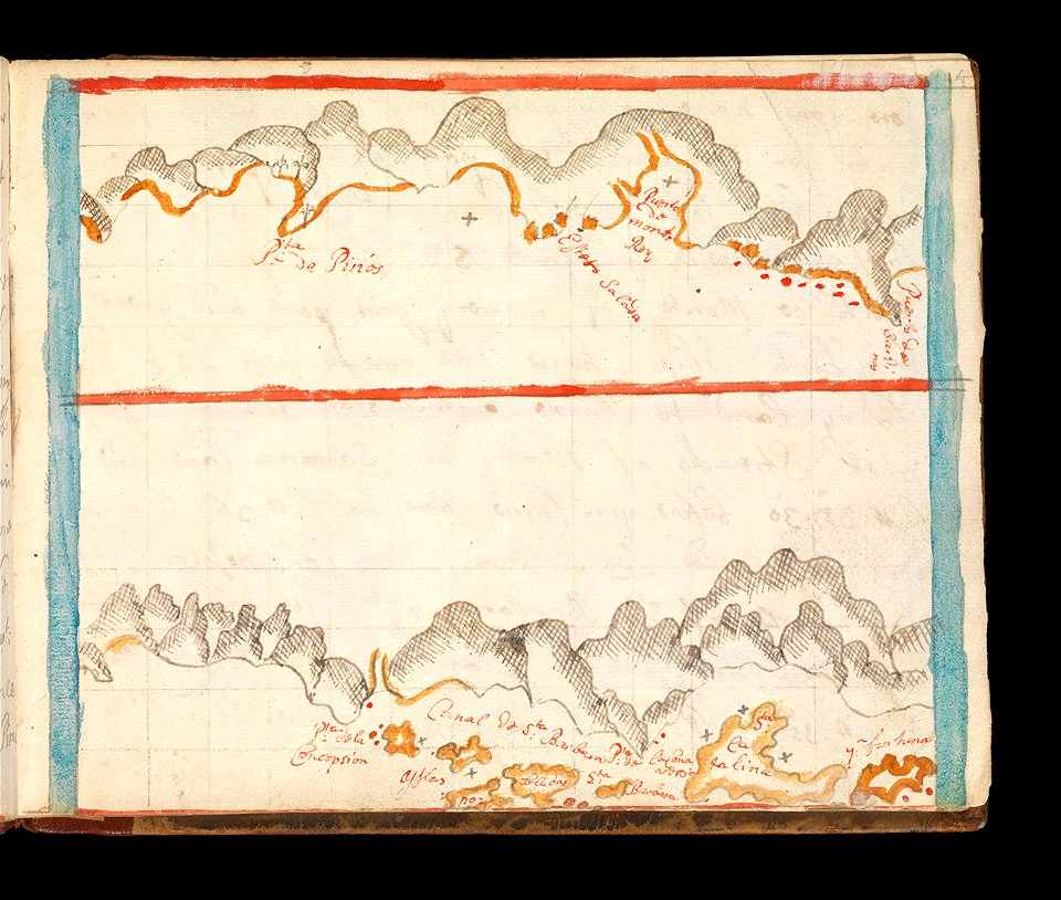
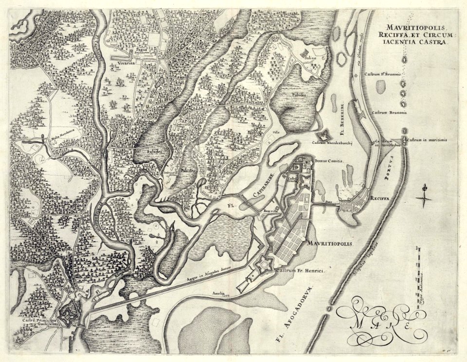
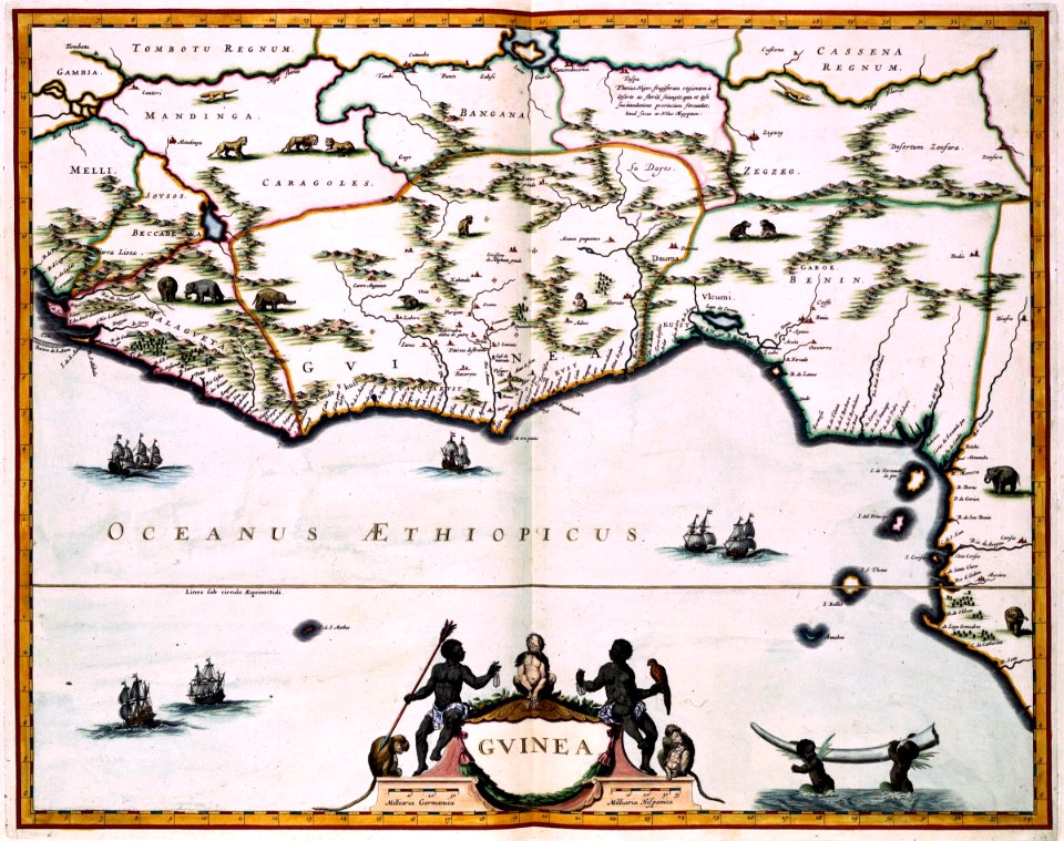
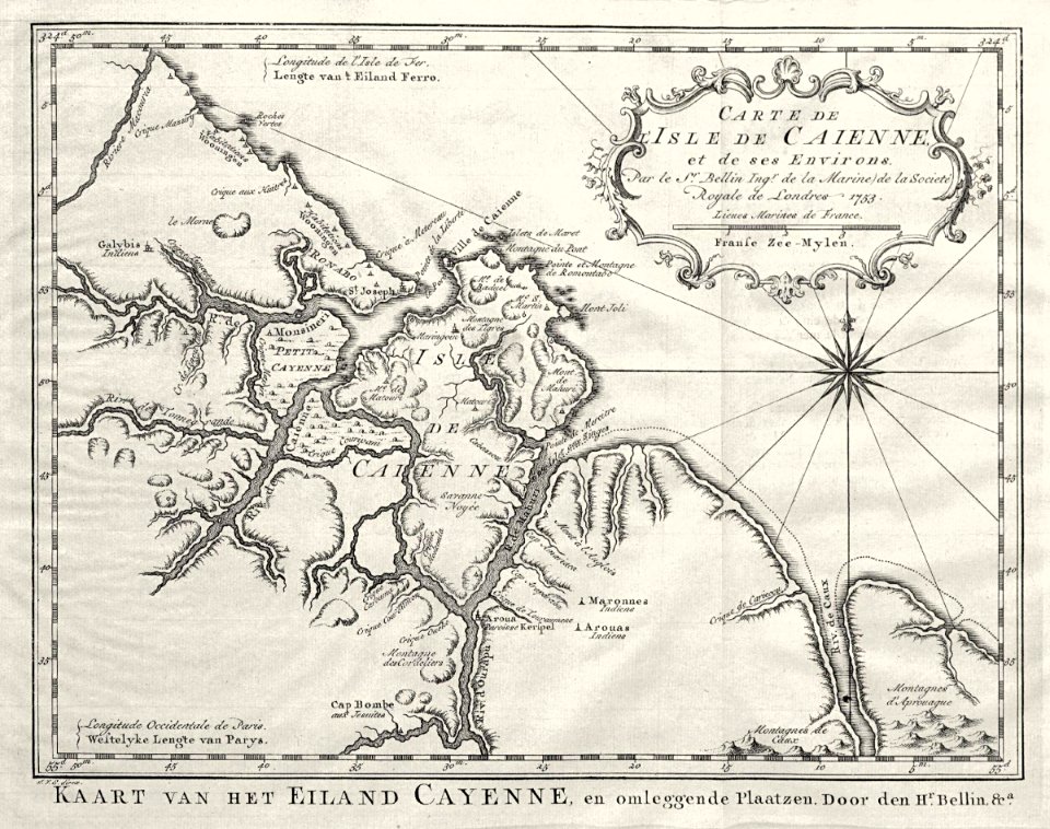
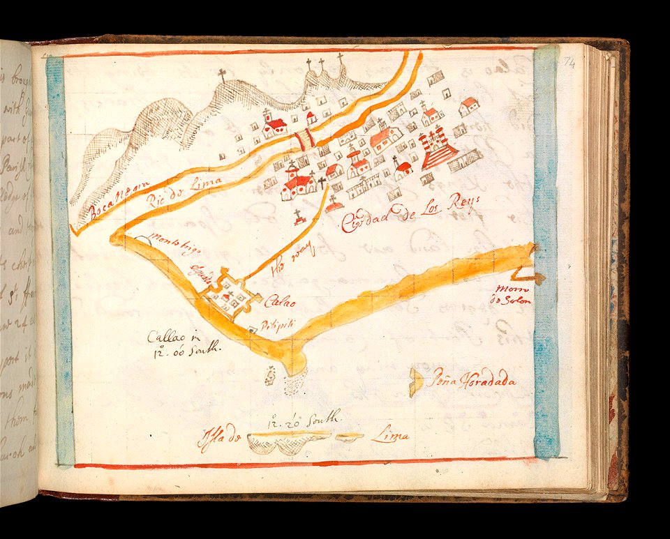
maps of the west-indische compagnie
1647
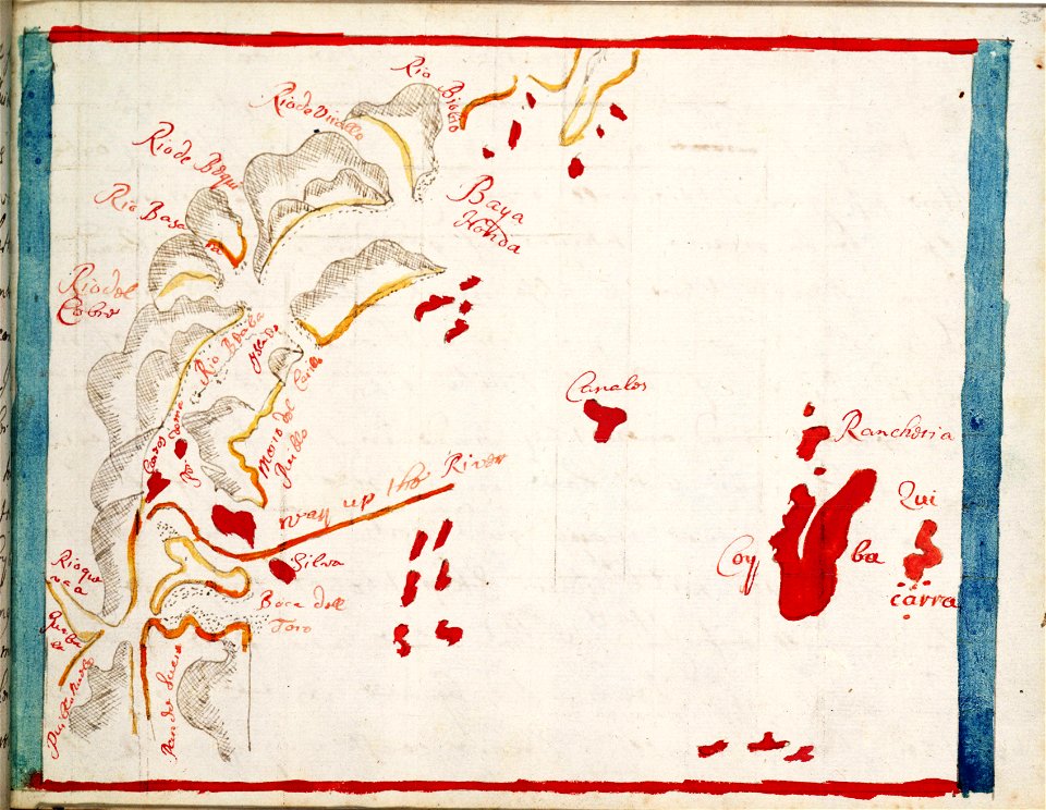
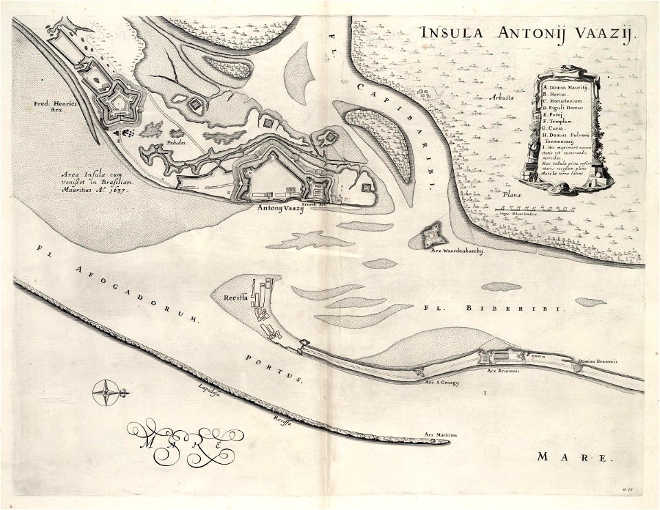
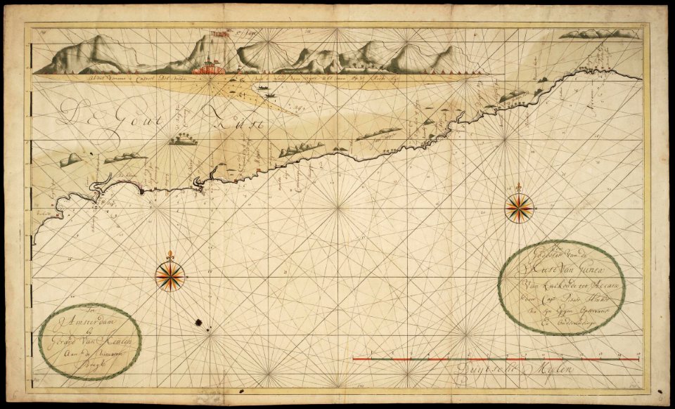
maps of the west-indische compagnie
1647
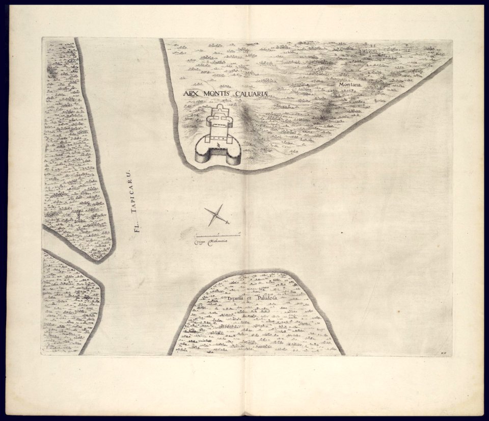
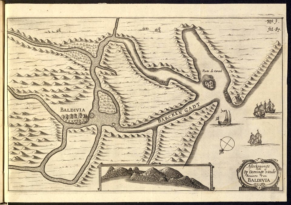
maps of the west-indische compagnie
1647
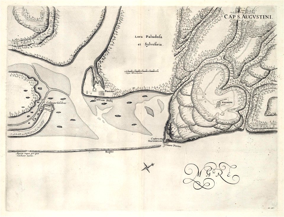
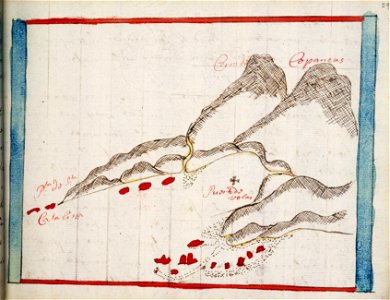
maps of the west-indische compagnie
1635
maps of the west-indische compagnie
1716
maps of the west-indische compagnie
1646
maps of the west-indische compagnie
1647
maps of the west-indische compagnie
1681
maps of the west-indische compagnie
1747)
maps of the west-indische compagnie
1773
maps of the dutch east india company - india
1746
old maps of the dutch east india company
1622
maps of the west-indische compagnie
1757
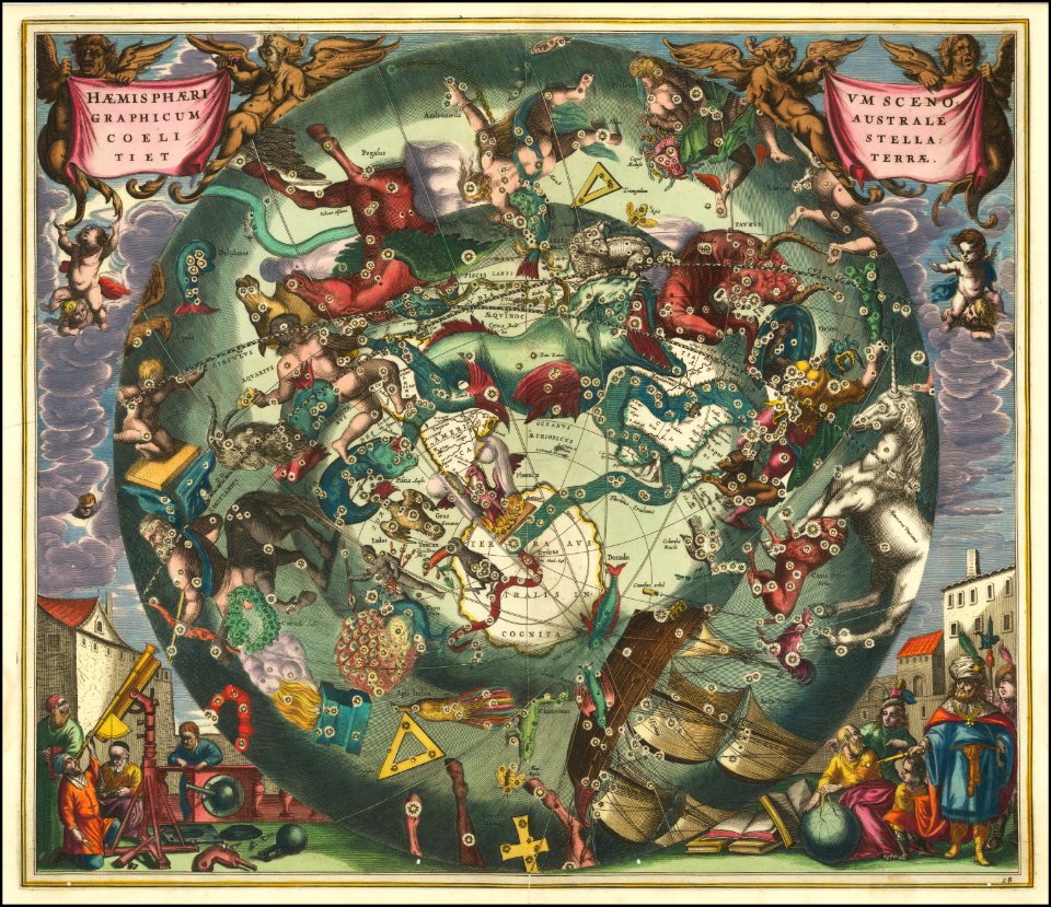
star location maps
andreas cellarius
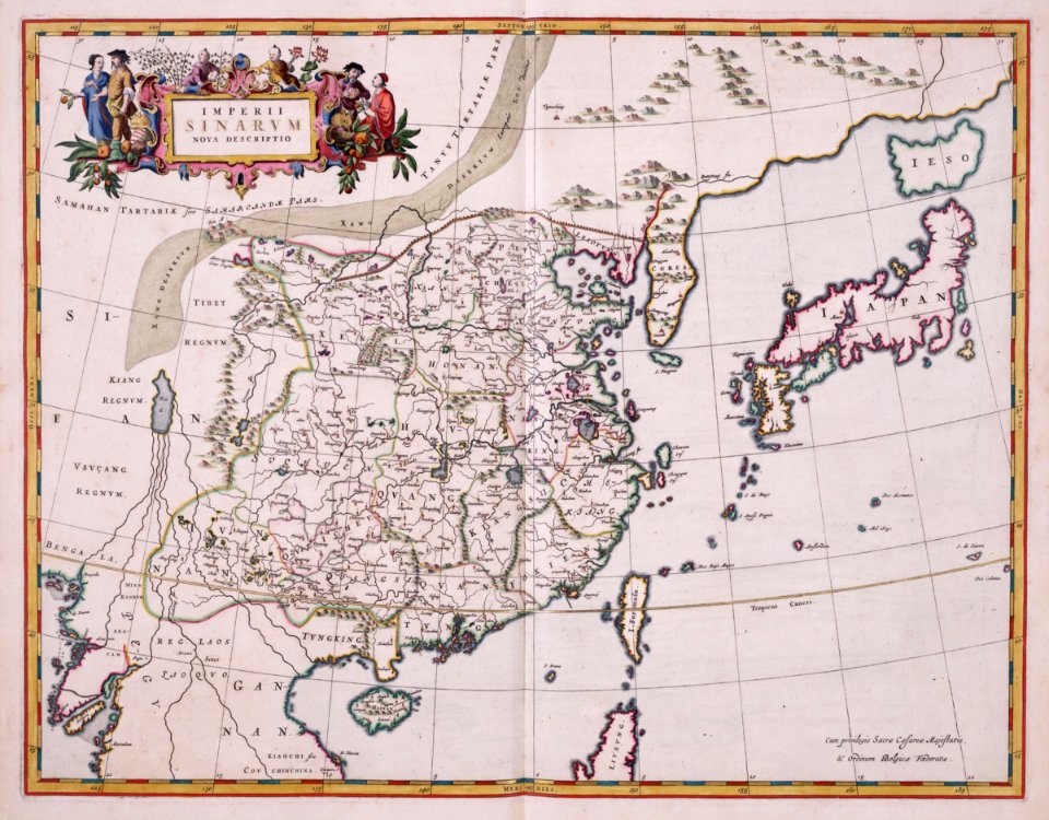
maps of the dutch east india company - china
1655)
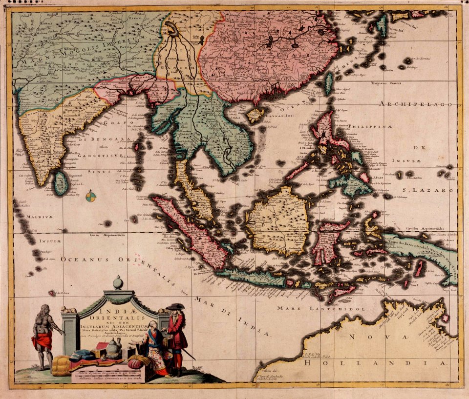
maps of the dutch east india company - indonesia
old maps of the dutch east india company
1750
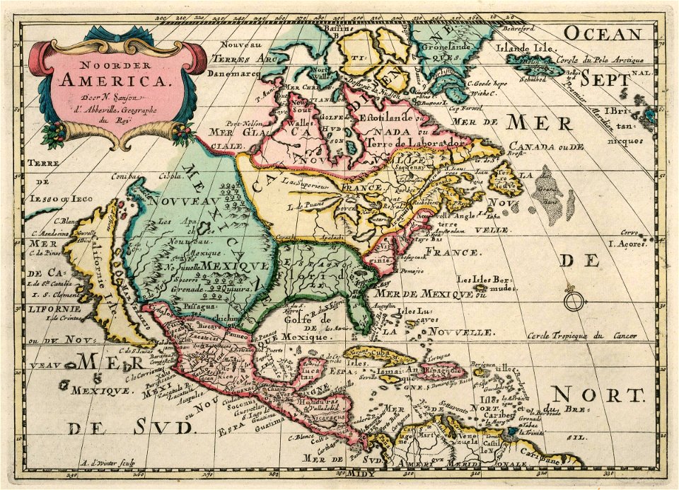
maps of the west-indische compagnie
1705
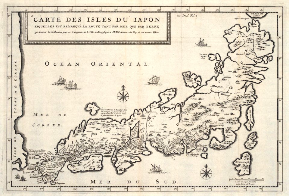
maps of the dutch east india company - japan
1718)
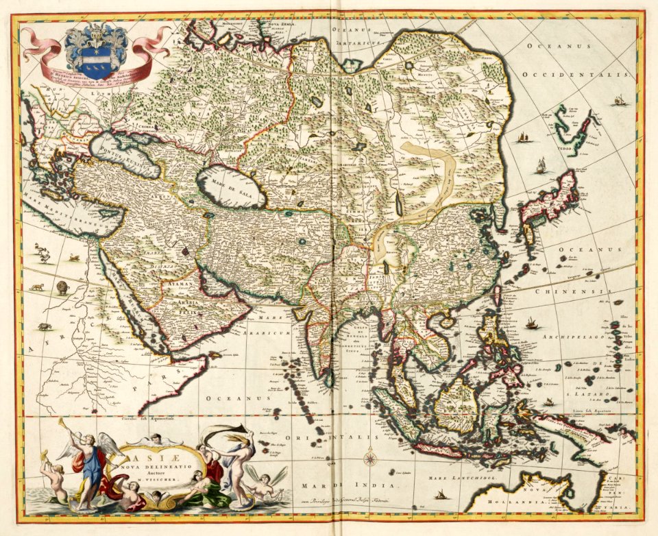
old maps of the dutch east india company
1680s
maps by willem and johannes blaeu
atlas van loon
vermont
brandon
cosmographia (1600) by sebastian münster
1600 maps of transylvania
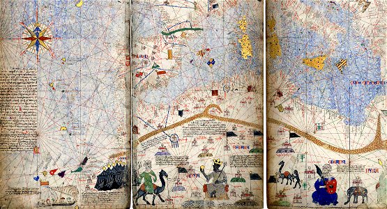
maps of the mali empire
catalan atlas
illustrations of cosmographia (münster)
old map
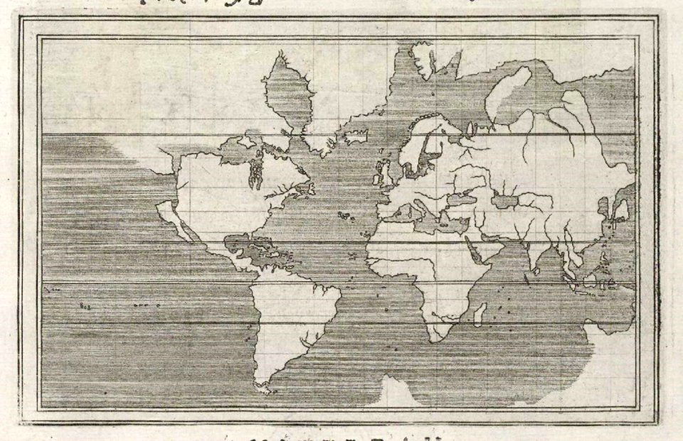
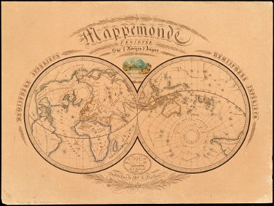
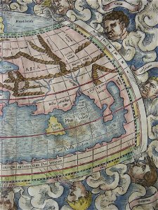
old maps of earth's hemispheres
1839 maps
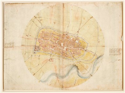
a map of imola (rcin 912284)
illustrations of cosmographia (münster)
old map
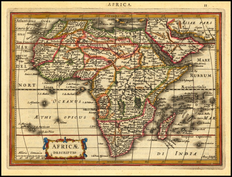
description de l'universe
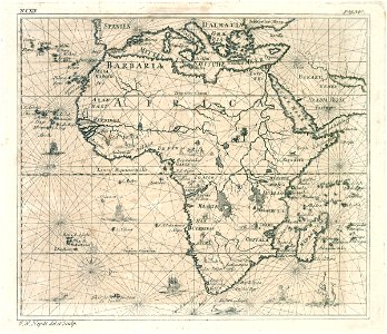
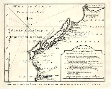
1683 maps of africa
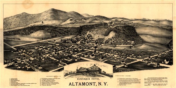
maps in the library of congress
1890 maps of new york (state)
maps by gerardus mercator
maps by jodocus hondius
maps by frederick de wit
1680s maps of belgium
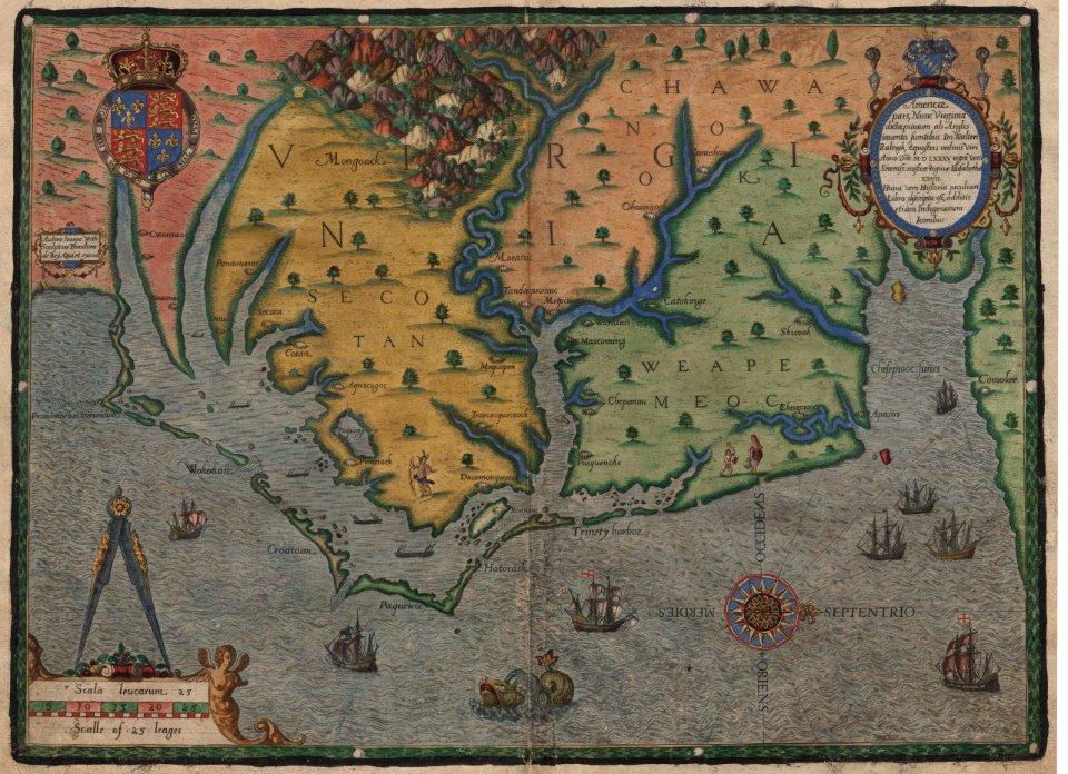
old maps of virginia
theodor de bry
charts and maps of the royal museums greenwich
1682 maps
charts and maps of the royal museums greenwich
1682 maps
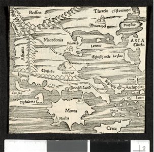
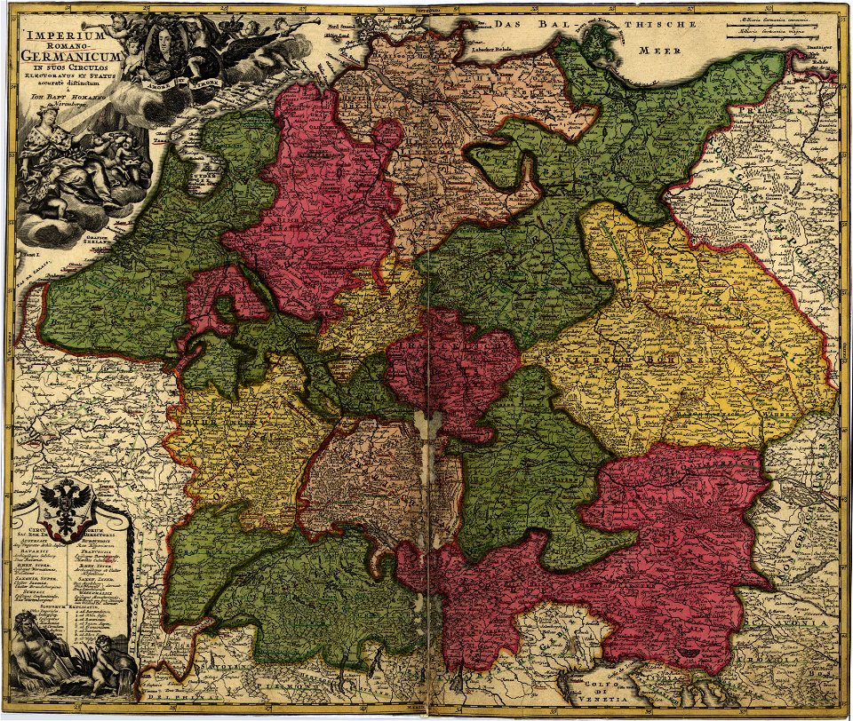
maps by sebastian münster
europa regina
maps in the library of congress
18th-century maps of germany
charts and maps of the royal museums greenwich
1682 maps
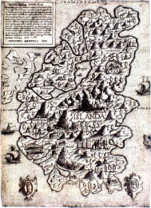
provided by landsbókasafn íslands
maps made in the 16th century
provided by landsbókasafn íslands
maps made in the 16th century
charts and maps of the royal museums greenwich
1682 maps
matthäus merian
1672 maps
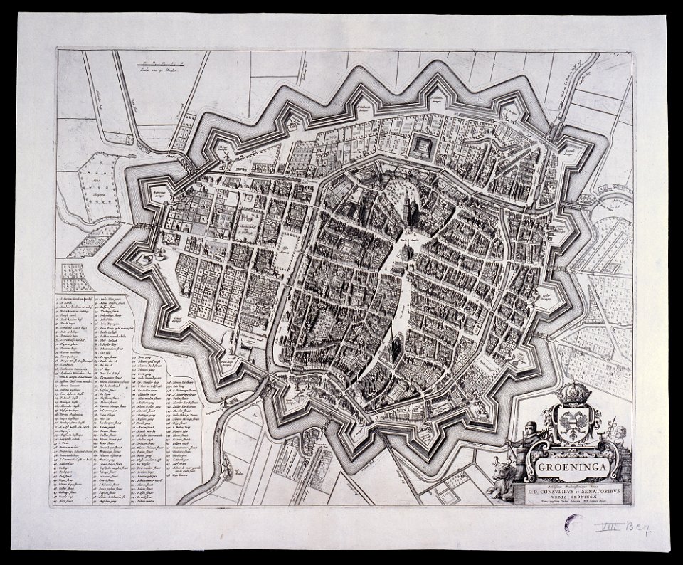
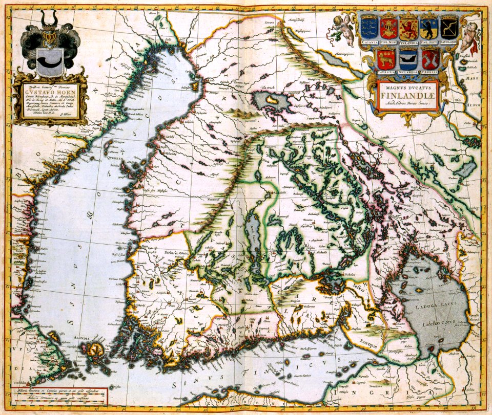
maps by willem and johannes blaeu
old maps of groningen (city)
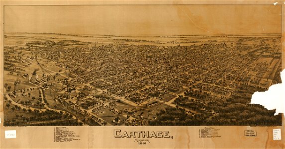
missouri
carthage
charts and maps of the royal museums greenwich
1682 maps
1877 maps of europe
political cartoons
19th-century maps of baden-württemberg
history of weinsberg
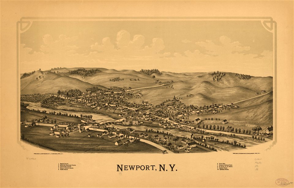
maps in the library of congress
1890 maps of new york (state)
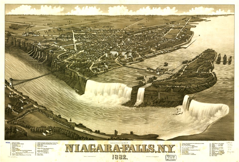
maps in the library of congress
1882 maps of ontario
flandria illustrata
old maps of menen
maps by coronelli
methoni castle
maps in the library of congress
1890 maps of new york (state)
charts and maps of the royal museums greenwich
1682 maps
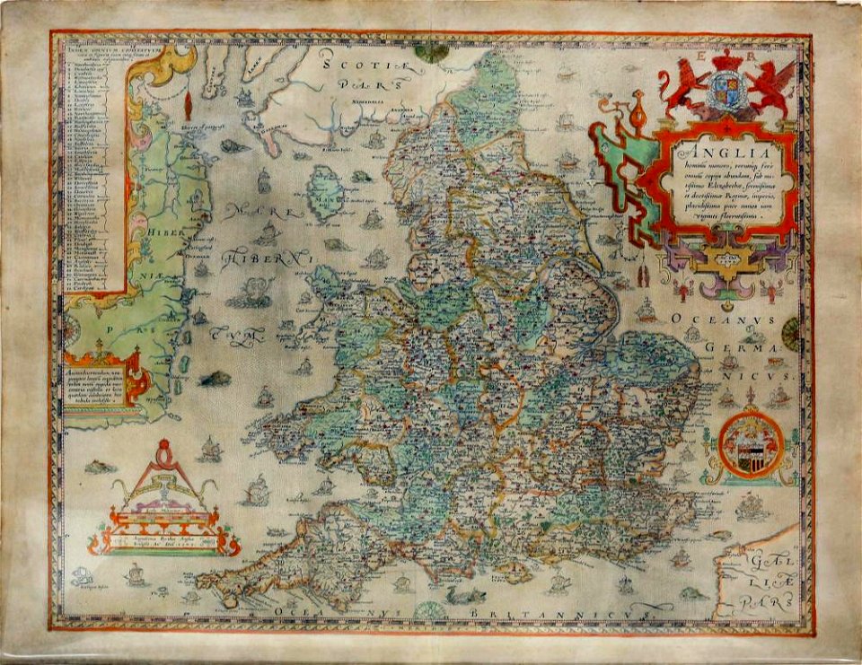
old maps of england
old maps of wales
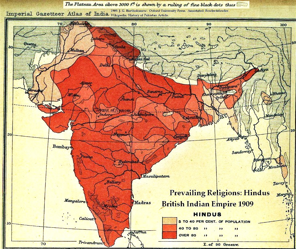
india
maps
maps made in the 17th century
gerard valck
old maps of the indian subcontinent
hindus
maps made in the 17th century
gerard valck
maps made in the 17th century
gerard valck
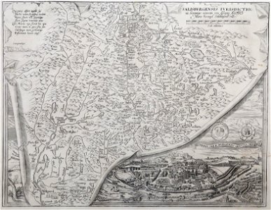
maps made in the 16th century
old maps of salzburg (state)
burg meersburg
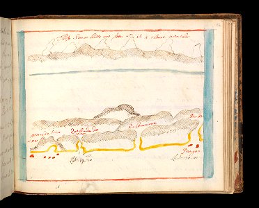
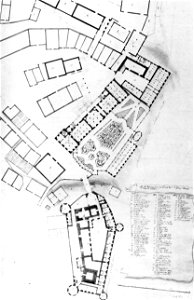
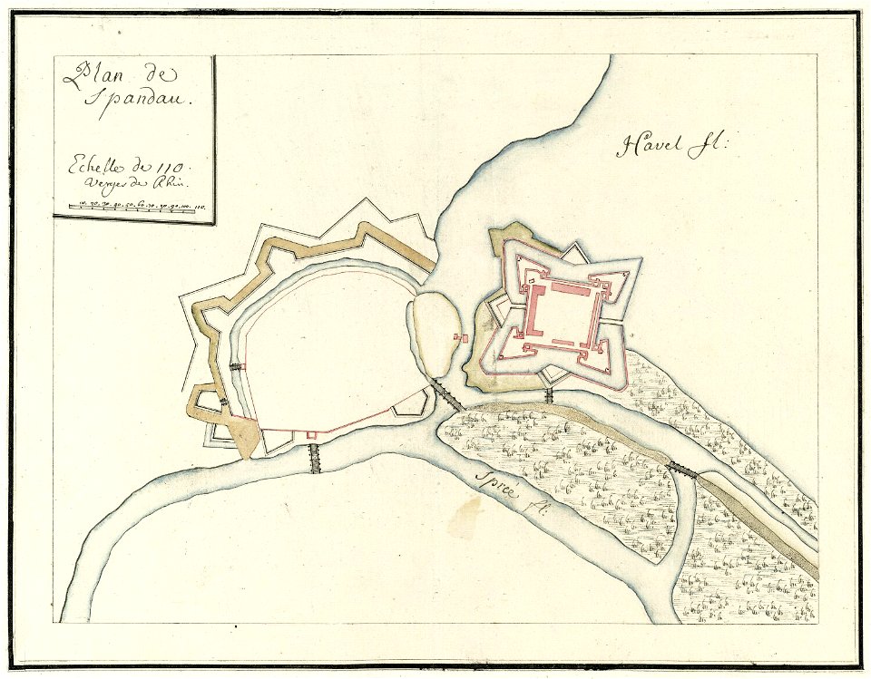
pencil drawing
city walls of berlin-spandau
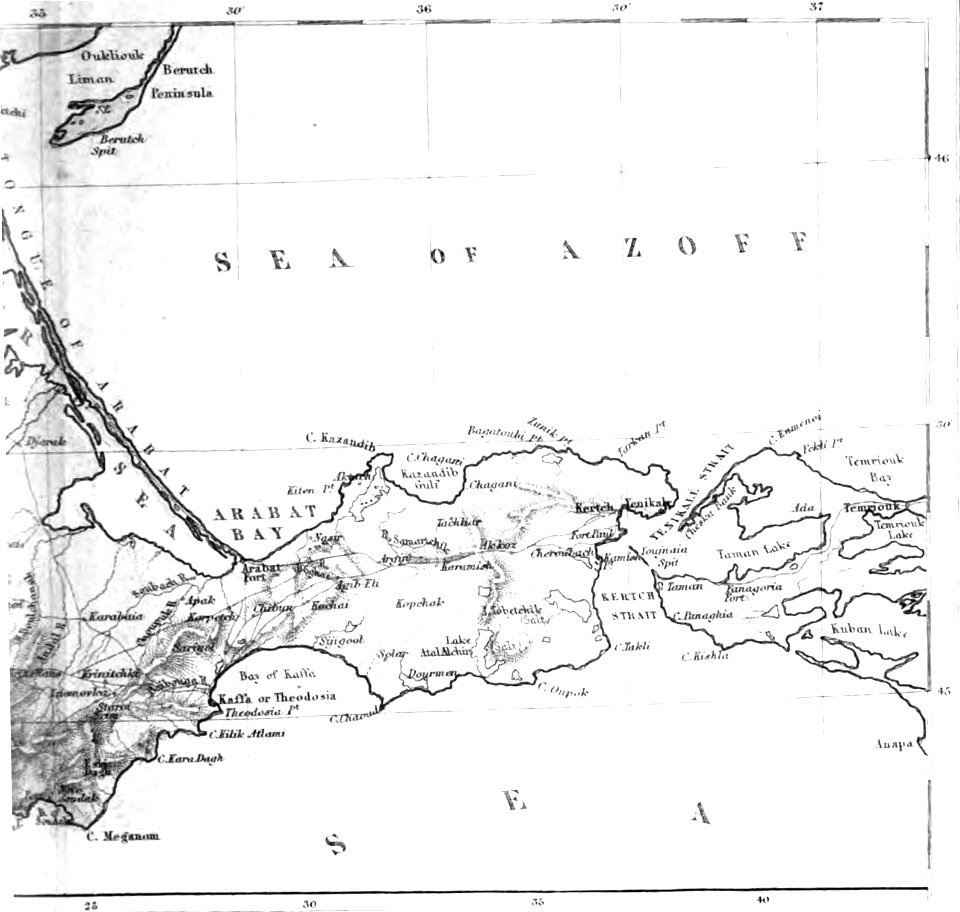
moll's map collection
old maps of the sea of azov
1856 maps
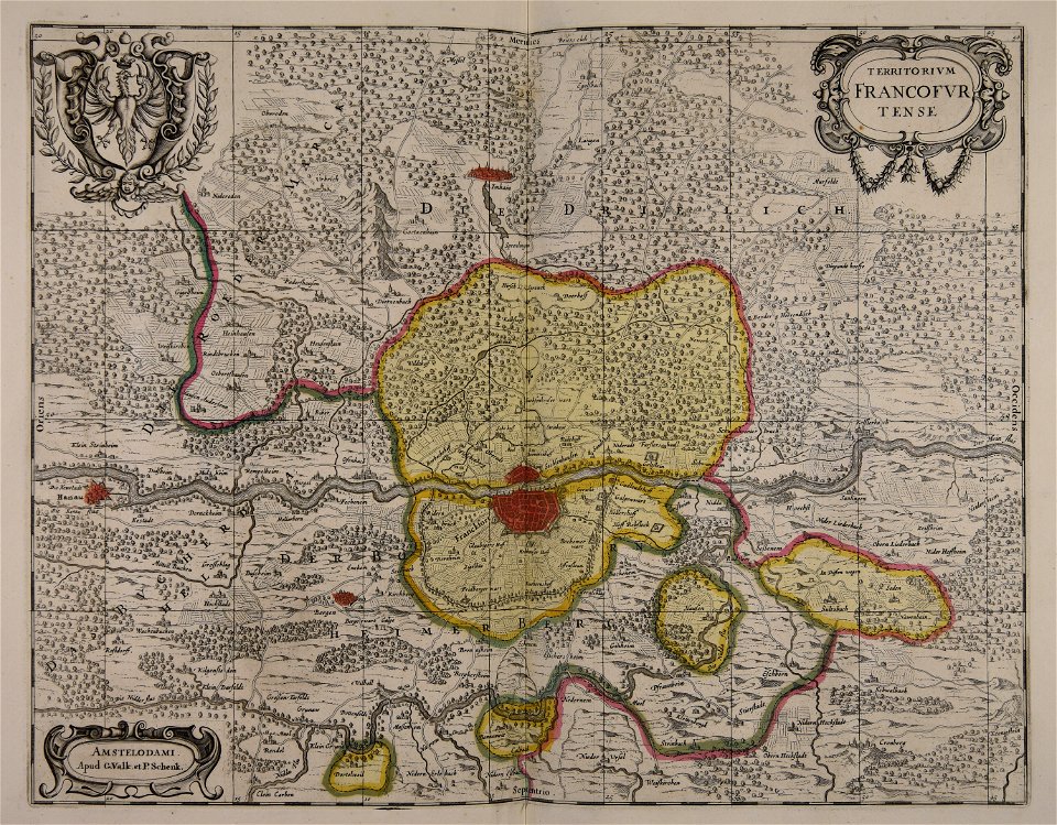
old maps of frankfurt am main
gerard valck
maps made in the 17th century
gerard valck
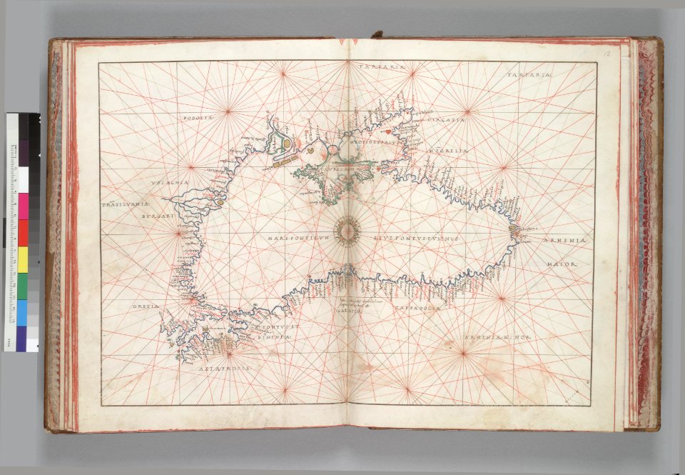
16th-century maps of the black sea
battista agnese
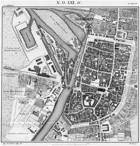
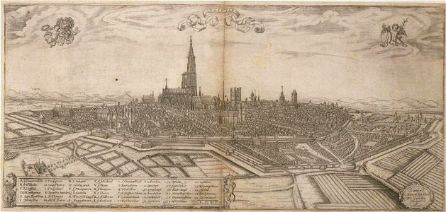
historical remote views of strasbourg
16th-century maps of strasbourg
maps with cartouches
atlas van der hagen
8301 - 8400 of 376,713
Next page
/ 3768