Log in
All resources
Create a design
376,713 Free Images of Mapping
maps made in the 17th century
charts and maps of the royal museums greenwich
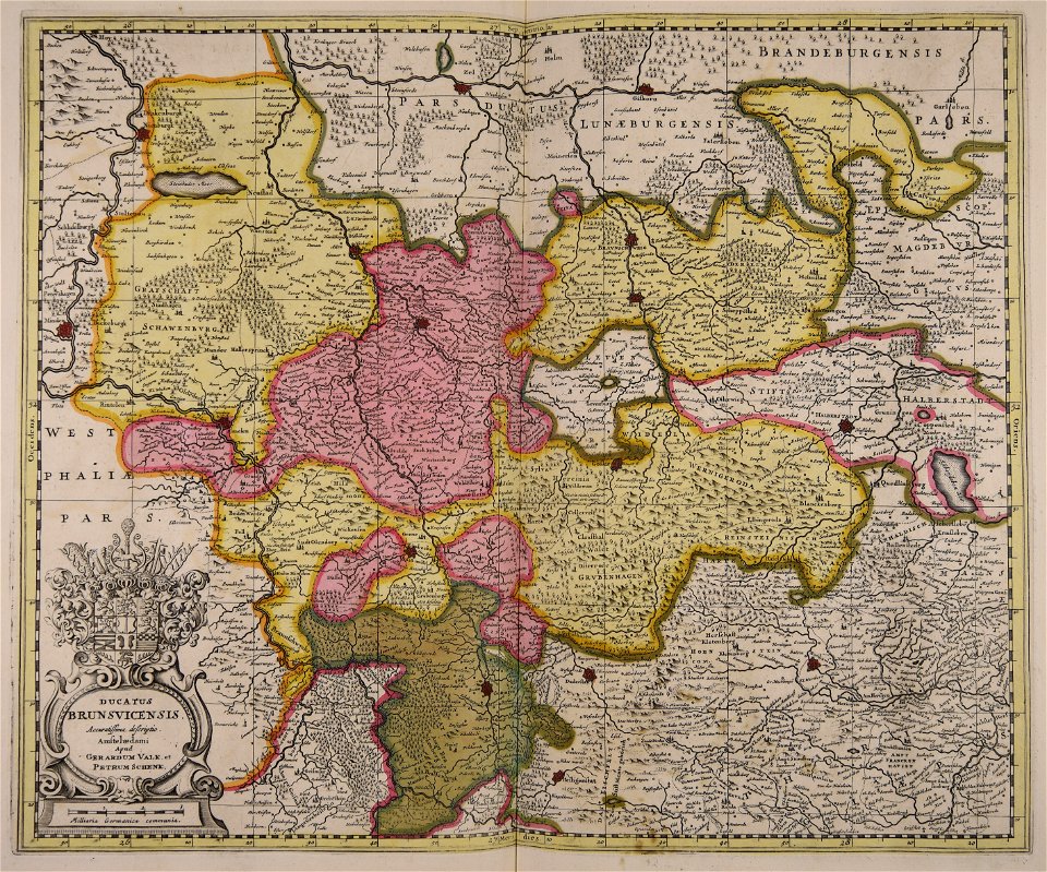
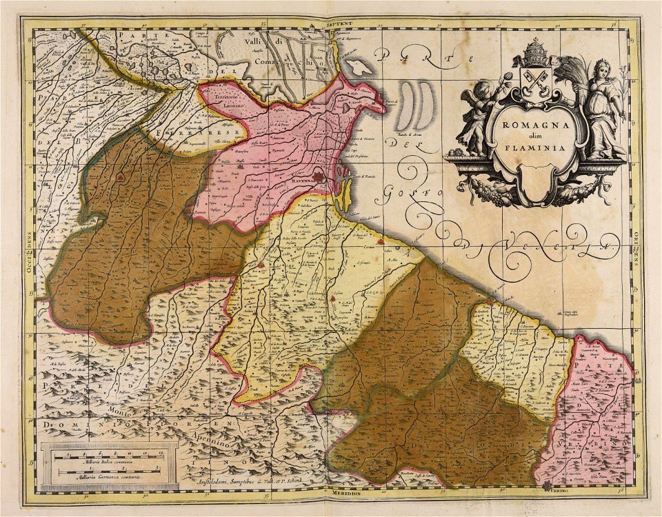
gerard valck
maps by pieter schenk (i)
maps of the west-indische compagnie
maps in the library of congress
atlantis magni tomus tertius (biblioteca comunale di trento)
atlantis magni tomus secundus (biblioteca comunale di trento)
1682 maps
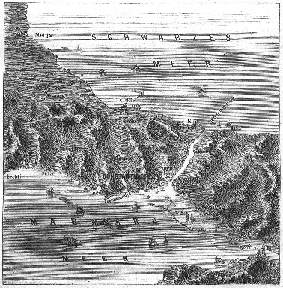
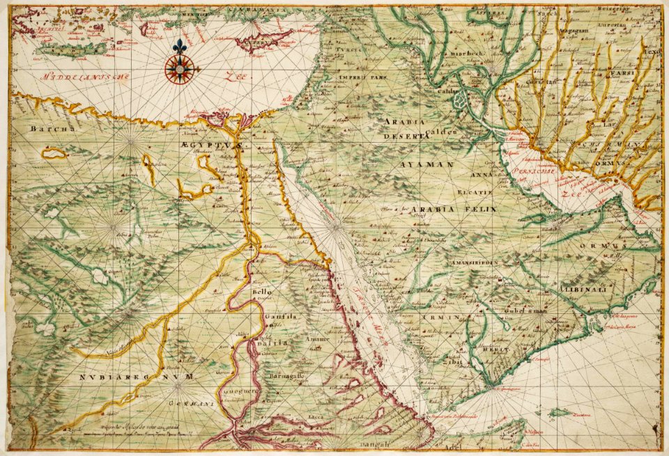
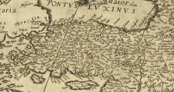
old maps of turkey
maps made in the 17th century
maps by nicolaes visscher i
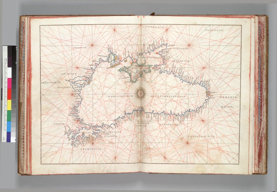
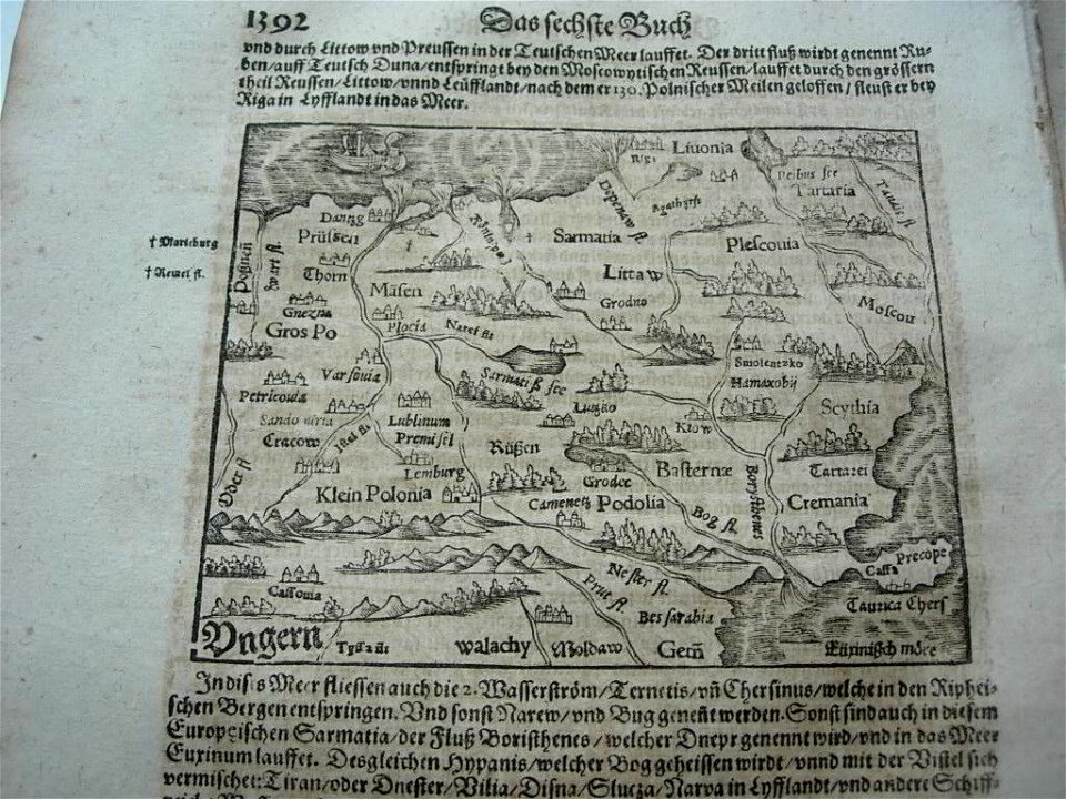
16th-century maps of the black sea
battista agnese
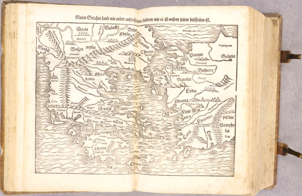
old maps of greece
old maps of turkey
maps made in the 17th century
gerard valck
maps made in the 17th century
gerard valck
maps made in the 17th century
gerard valck
maps made in the 17th century
gerard valck
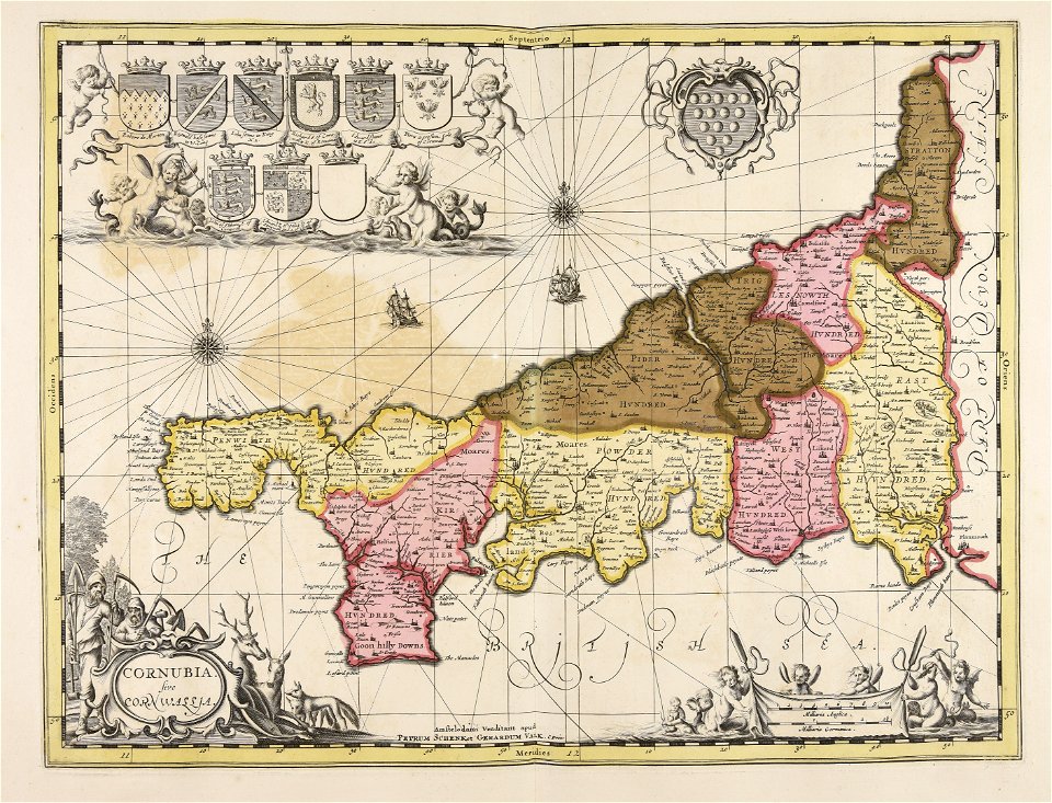
continent
maps
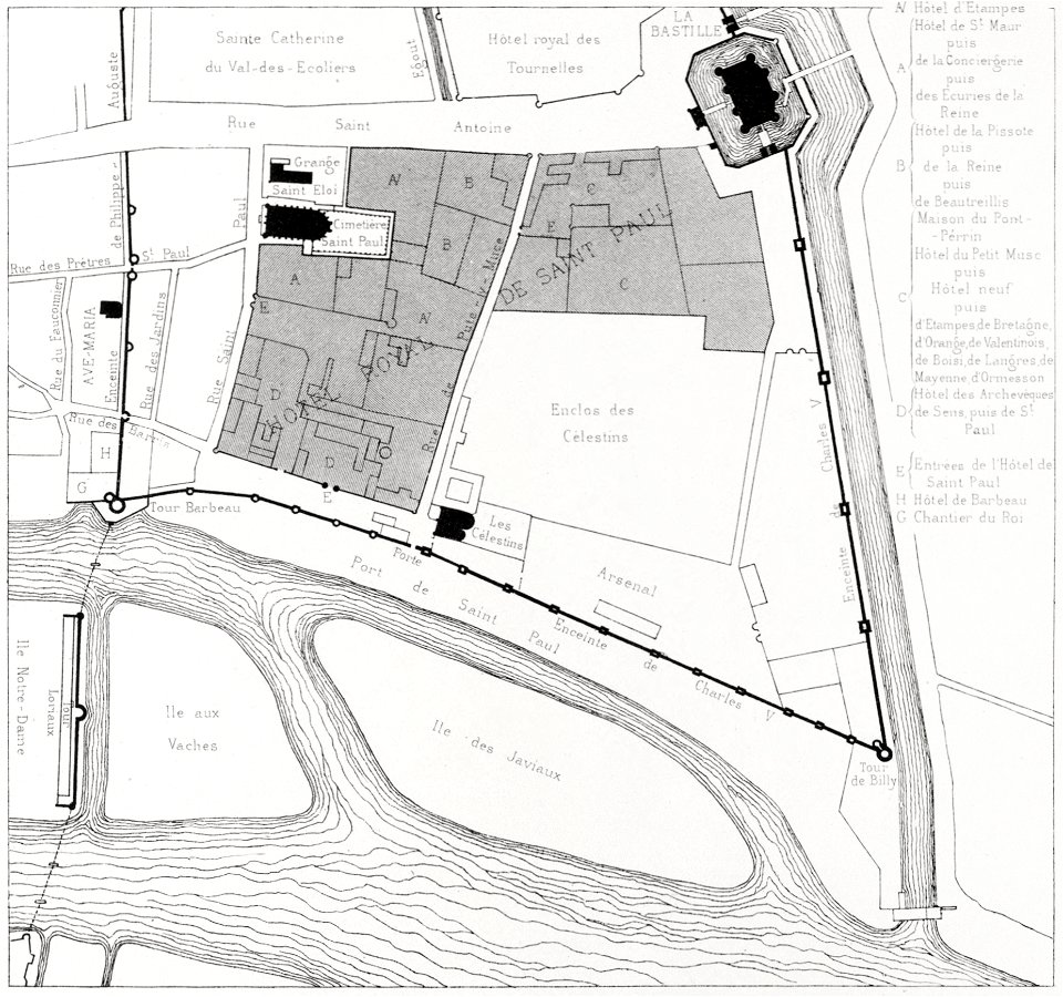
quartier de l'arsenal
bastille
maps made in the 17th century
gerard valck
maps by nicolas sanson
maine-et-loire
maps from the mechanical curator collection
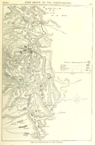
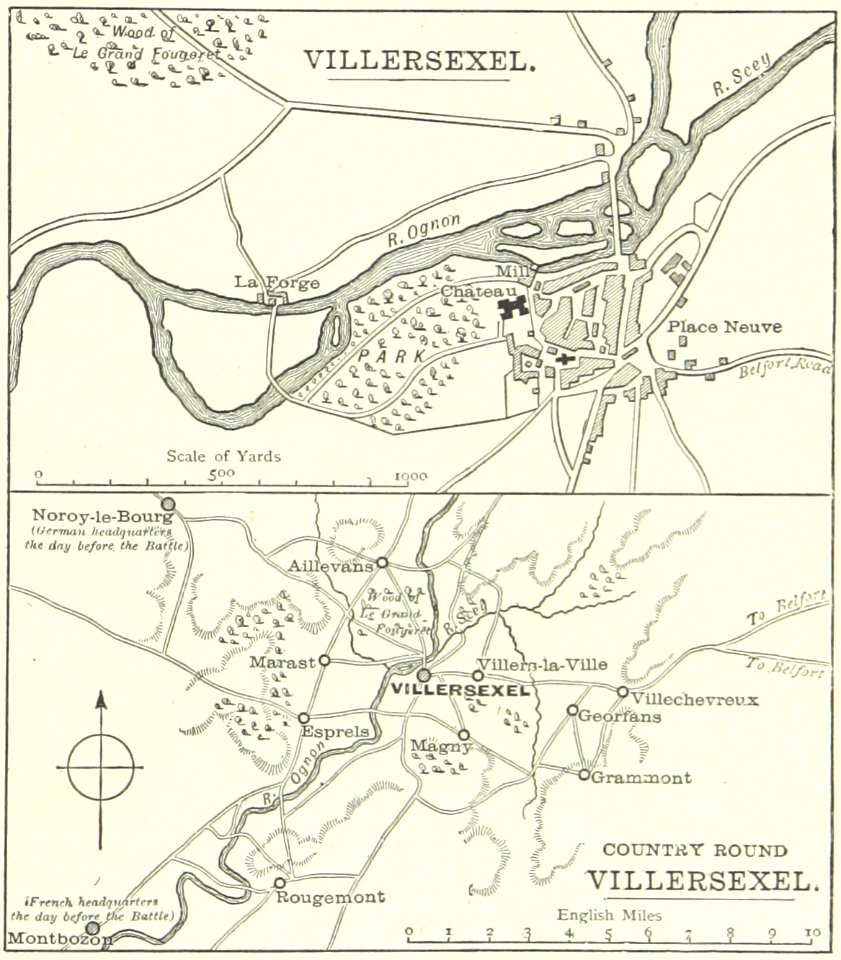
british battles on land and sea
historical images of villersexel
1895 drawings
maps in the library of congress
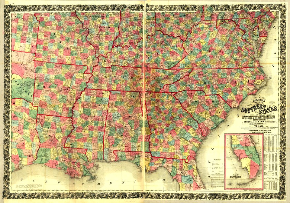
1861 maps
maps made in the 17th century
gerard valck
maps made in the 17th century
gerard valck
maps made in the 17th century
gerard valck
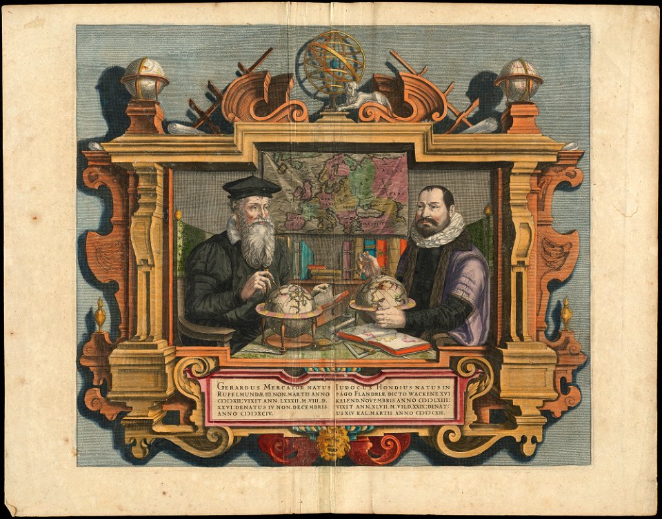
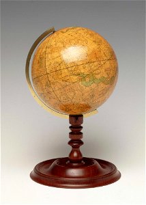
people with globes in art
1628 maps
fonds ancely - bibliothèque municipale de toulouse - maps
victor levasseur - maps of france
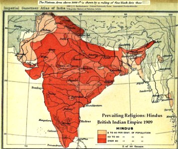
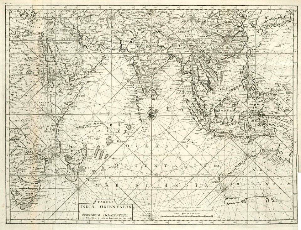
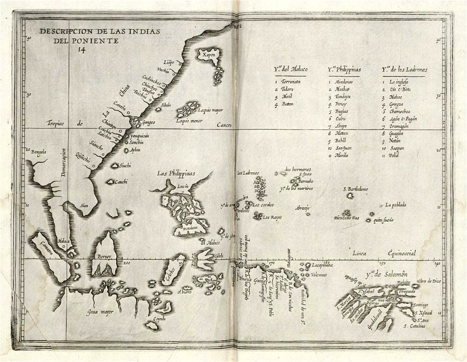
old maps of the indian subcontinent
hindus
maps in the library of congress
1862 maps
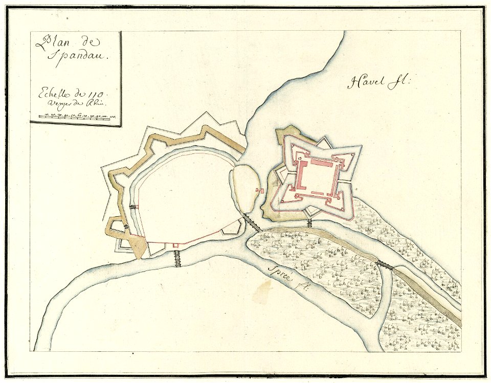
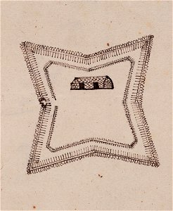
city walls of berlin-spandau
moll's map collection
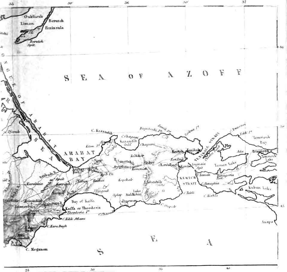
old maps of the sea of azov
1856 maps
pictorial history of the russian war 1854-5-6 by george dodd
1856 maps of georgia
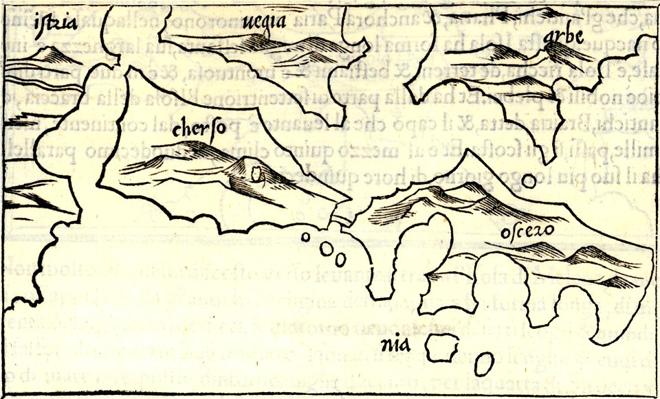
isolario di benedetto bordone (1547)
maps by benedetto bordon
maps in the library of congress
1862 maps
maps made in the 17th century
gerard valck
old maps published in the gallia christiana
maps of catholic dioceses of france
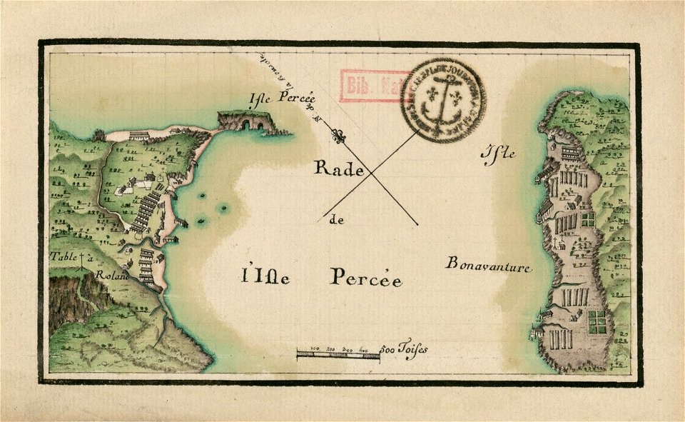
île bonaventure
percé
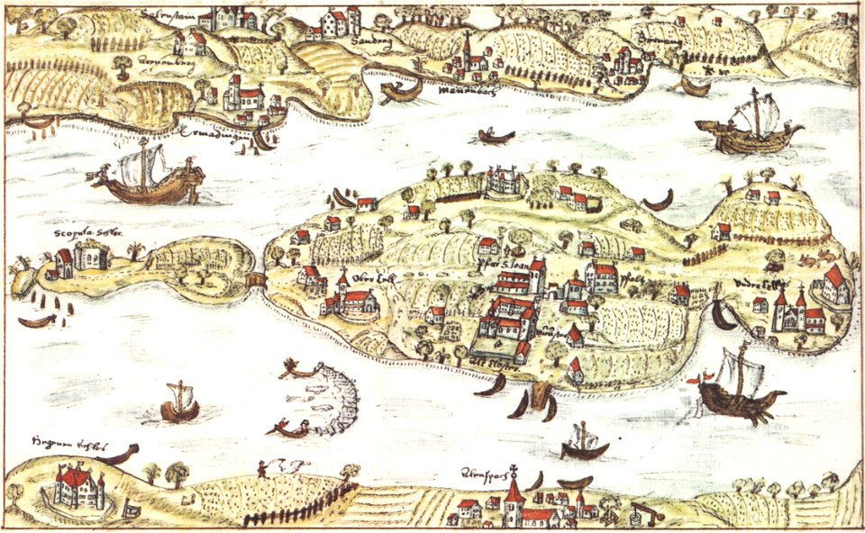
reichenau island
1627 maps
jacques-nicolas bellin
1764 maps
maps in the british museum
a map of imola (rcin 912284)
description de l'universe
old map
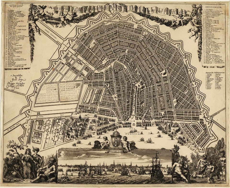
drawings in the stadsarchief amsterdam
old maps of amsterdam
maps by willem and johannes blaeu
atlas van loon
maps by willem and johannes blaeu
1650 maps of ethiopia
maps by royal bavarian land tax commission
old maps of freising
maps by royal bavarian land tax commission
old maps of freising
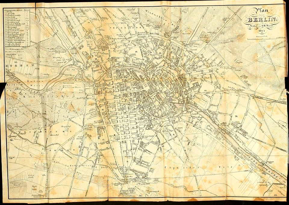
19th-century maps of berlin
1844 maps
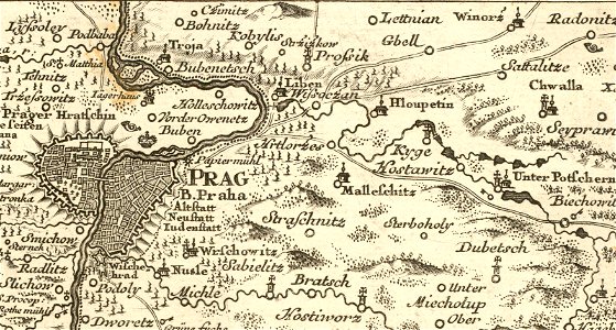
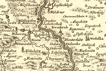
details of müller's map of bohemia
history of hloubětín
details of müller's map of bohemia
maps of kralupy nad vltavou
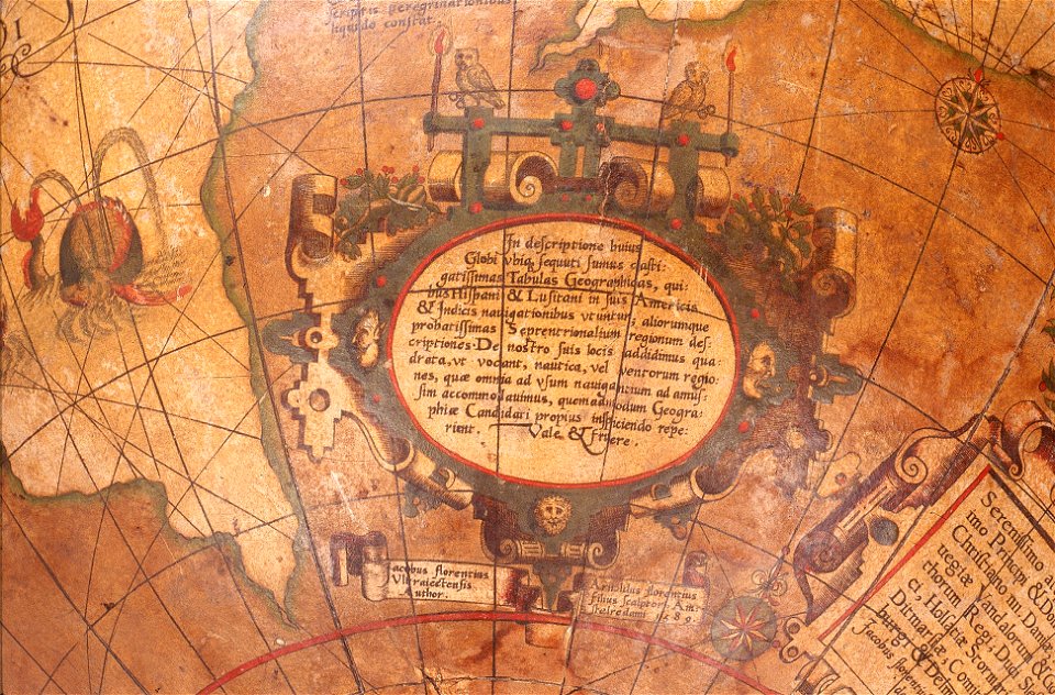
charts and maps of the royal museums greenwich
1625 maps
charts and maps of the royal museums greenwich
1682 maps
maps of the bosphorus
old maps of turkey
charts and maps of the royal museums greenwich
1682 maps
maps made in the 17th century
ships on maps
maps in the library of congress
1884 maps of new york (state)
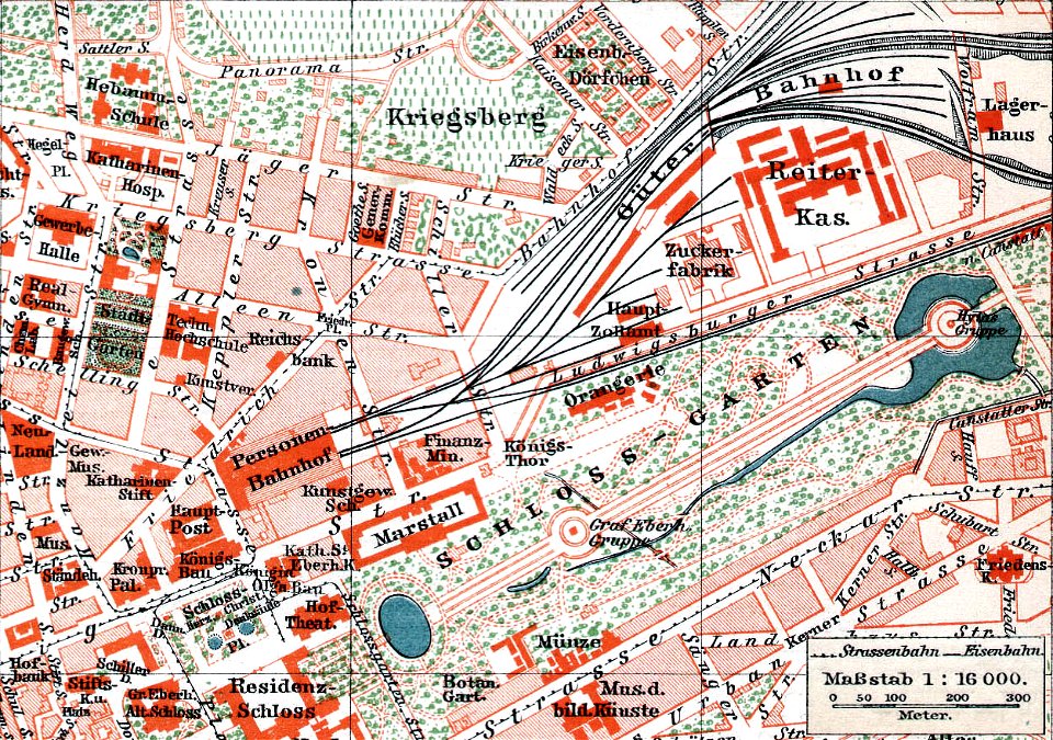
schloss rosenstein
maps of stuttgart
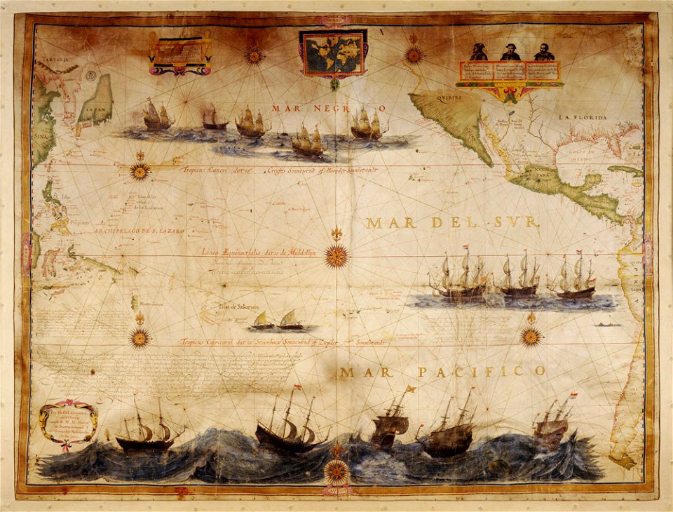
charts and maps of the royal museums greenwich
1682 maps
charts and maps of the royal museums greenwich
1730 maps
charts and maps of the royal museums greenwich
1589 maps
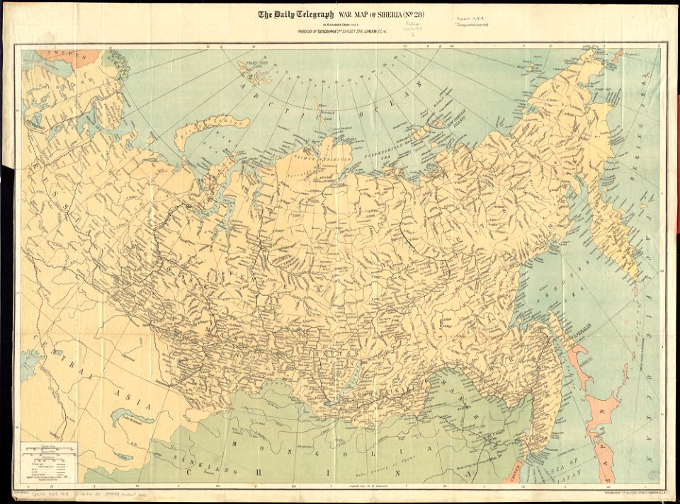
maps of world war i by the daily telegraph
brockhaus' konversations-lexikon (1892)
maps by brockhaus
maps in the library of congress
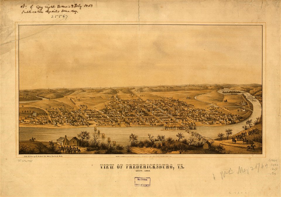
1863 maps of virginia
maps in the stadsarchief amsterdam
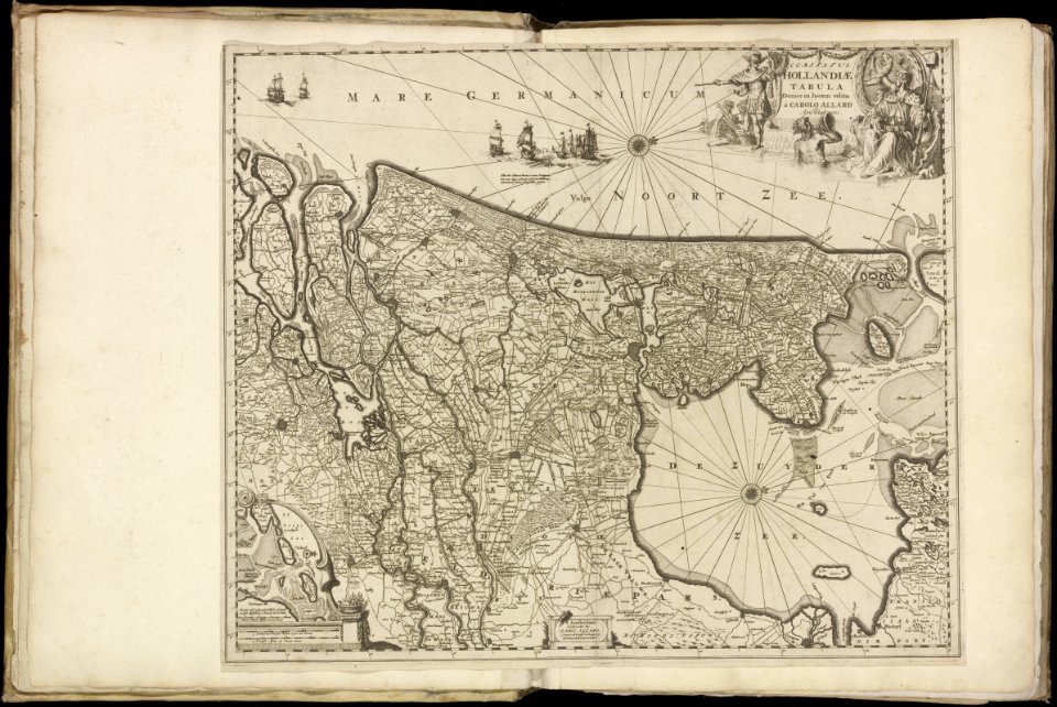
carolus allard
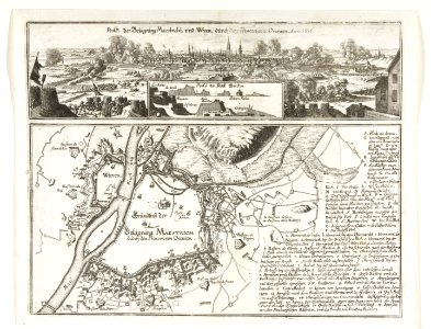
17th-century maps of maastricht
maps of the franco-dutch war
maps of the dutch east india company - mauritius
1638
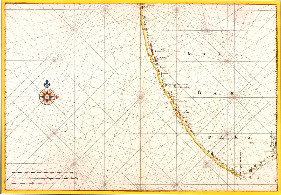
maps of the dutch east india company - india
1665
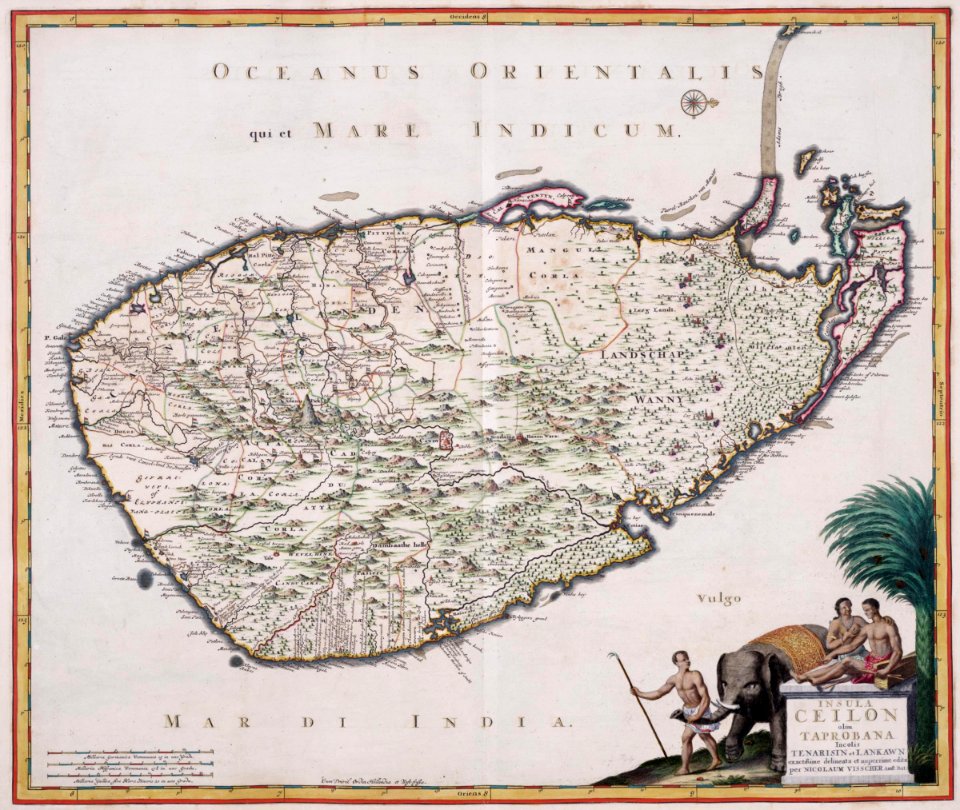
maps of the dutch east india company - sri lanka
1680s
maps of the dutch east india company - china
1655)
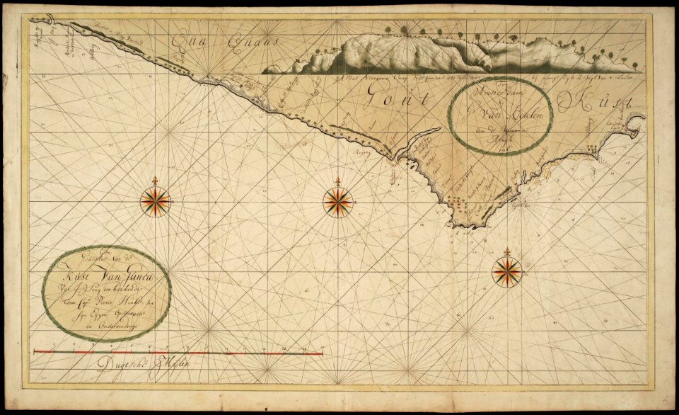
maps of the west-indische compagnie
1747)
old maps of the dutch east india company
1665
old maps of the dutch east india company
1724
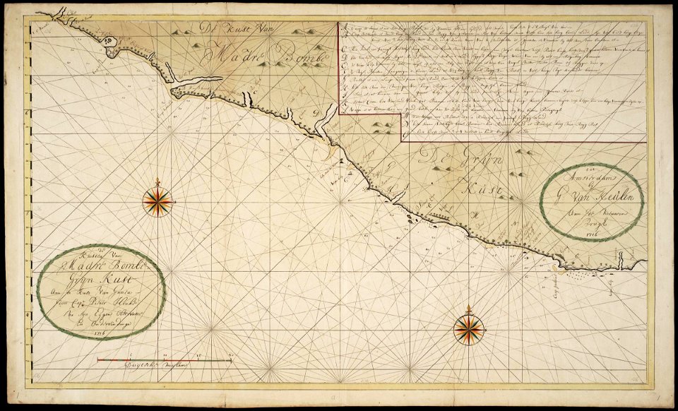
maps of the west-indische compagnie
1716
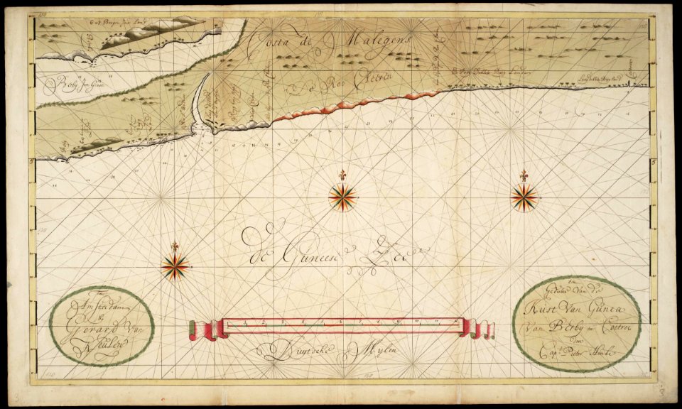
maps of the west-indische compagnie
1716
maps of the west-indische compagnie
1716
maps of the west-indische compagnie
1747)
maps of the west-indische compagnie
1720s
maps of the west-indische compagnie
1773
maps of the west-indische compagnie
1757
maps of the west-indische compagnie
1732
old maps of the dutch east india company
1622
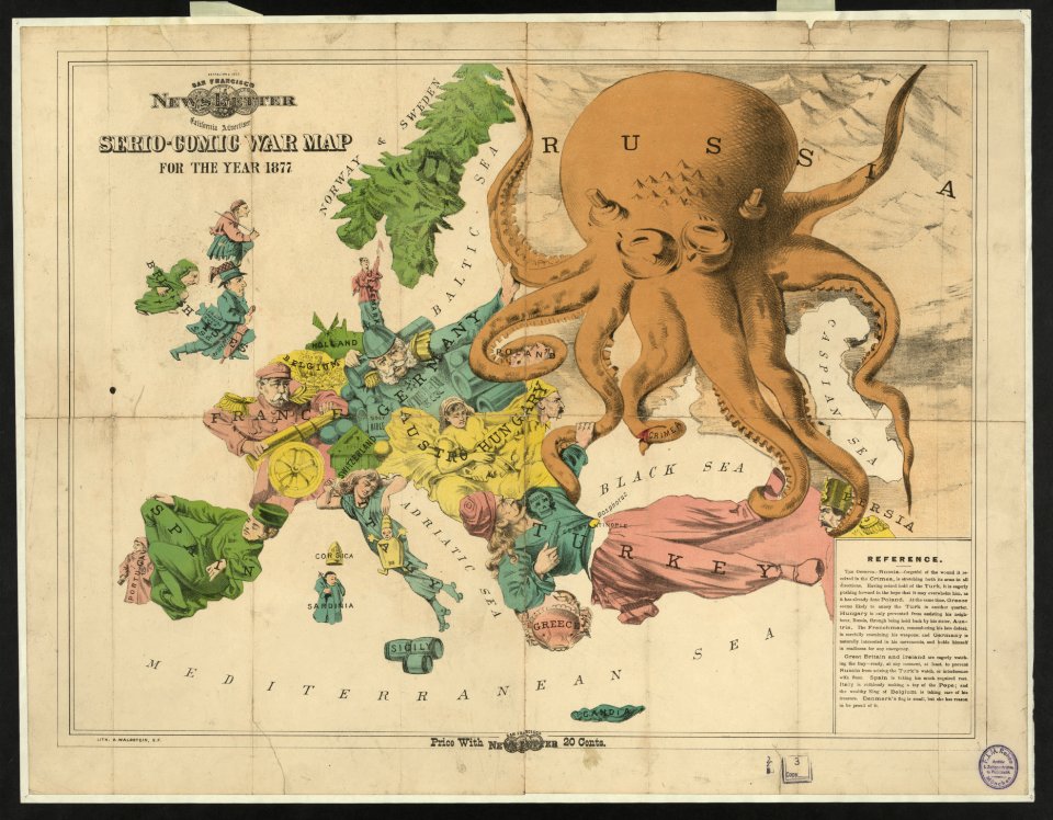
19th-century satirical maps
europe in the 1870s
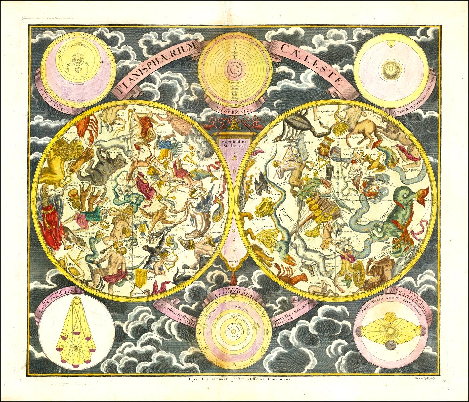
georg christoph eimmart
old celestial maps
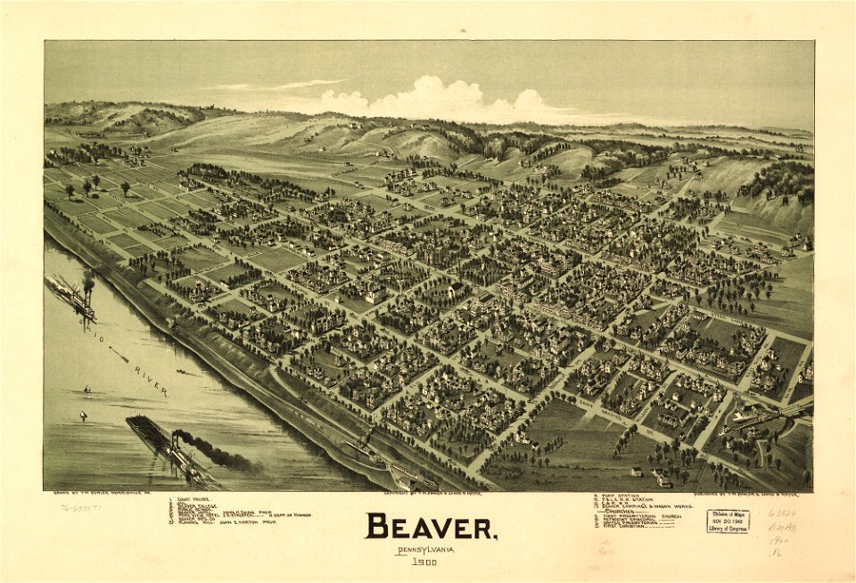
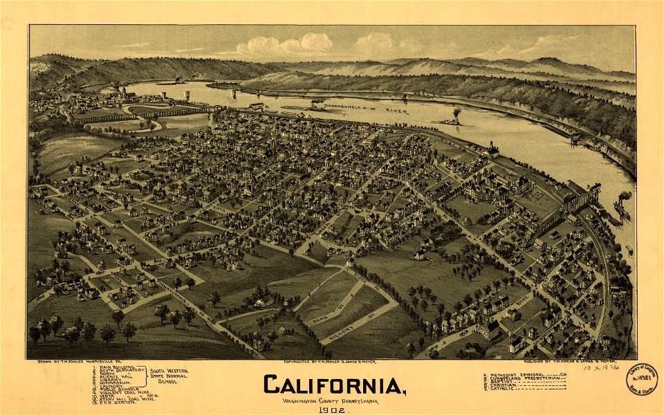
maps in the library of congress
pennsylvania
maps in the library of congress
pennsylvania
maps in the library of congress
1902 maps of pennsylvania
coats of arms on maps
old maps of lusatia
old maps of turkey
1590 maps
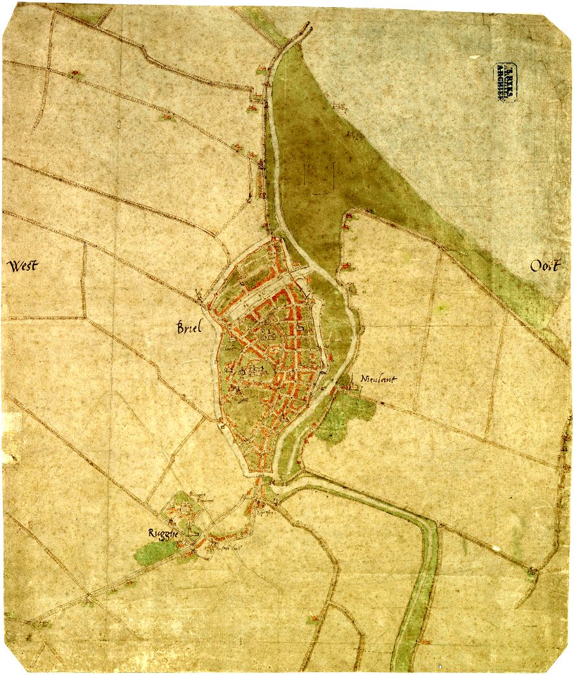
maps by jacob van deventer
old maps of brielle
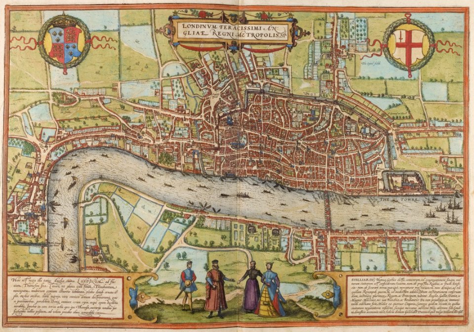
map of london by braun & hogenberg
1572 in london
map of ghent by gabriel bodenehr
charts and maps of the royal museums greenwich
1838 maps
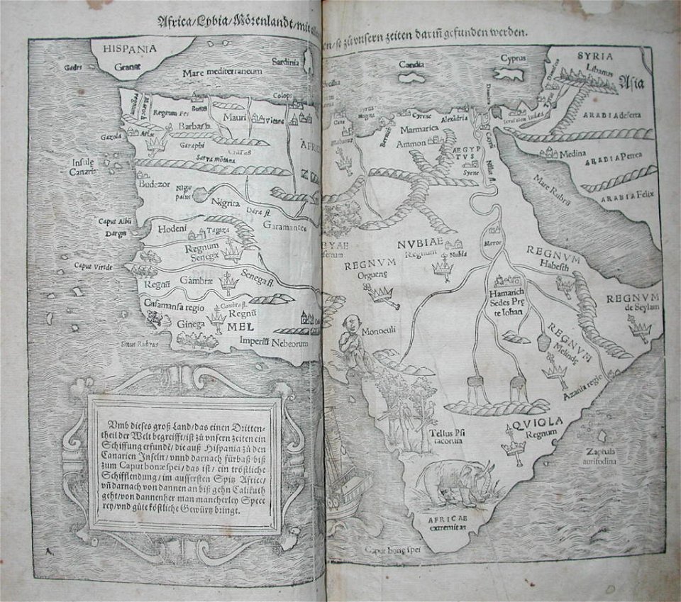
illustrations of cosmographia (münster)
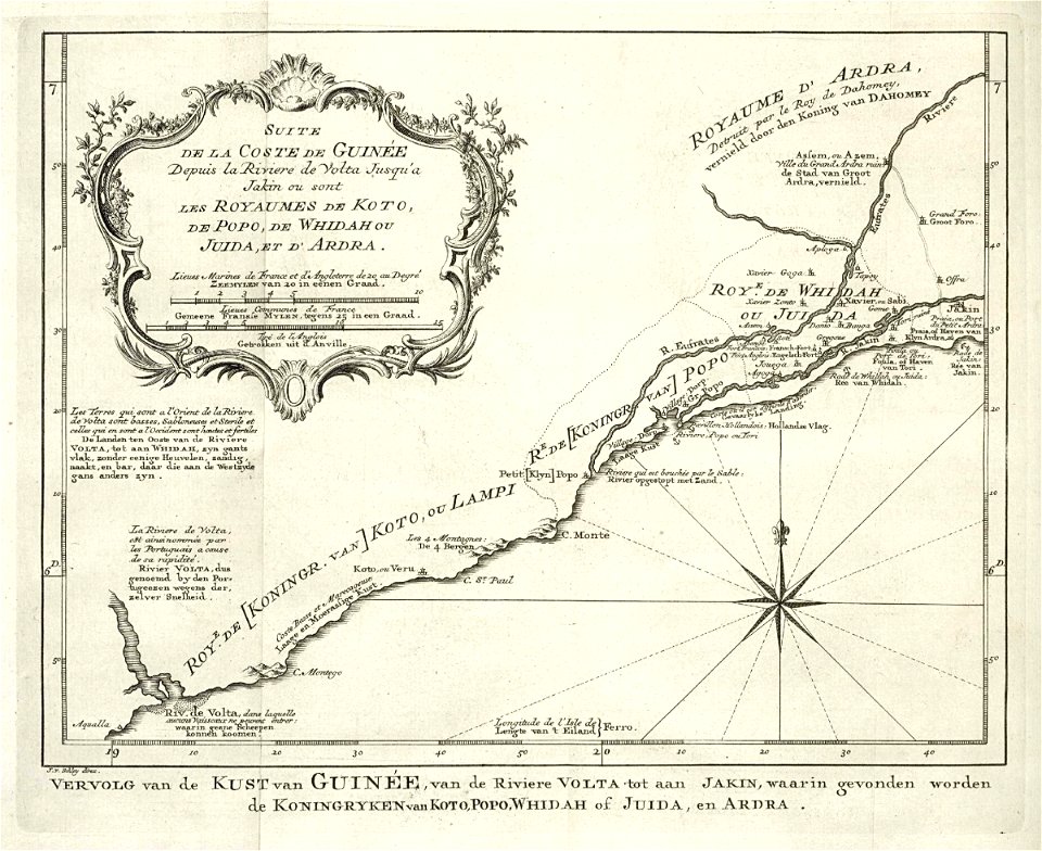
old maps of africa
charts and maps of the royal museums greenwich
1682 maps
atlas of the russian empire (1800)
old maps of belarus
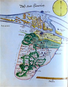
ämteratlas des fürstentums lüneburg von johannes mellinger
maps of elbe in hamburg
charts and maps of the royal museums greenwich
1572 maps
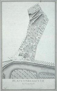
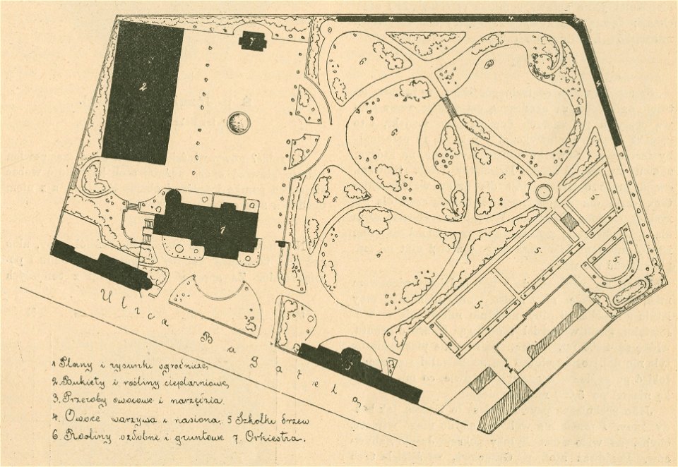
maps of gardens and parks in poland
maps of gardens and parks
charts and maps of the royal museums greenwich
1830 maps
charts and maps of the royal museums greenwich
1600 maps
amsterdam in the 1680s
johannes kip
illustrations of cosmographia (münster)
old map
old maps published in the gallia christiana
maps of catholic dioceses of france
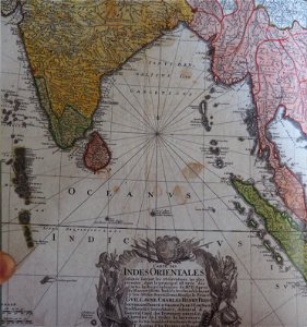
old maps of the indian ocean
robert surcouf
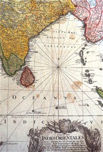
old maps of the indian ocean
robert surcouf
maps made in the 17th century
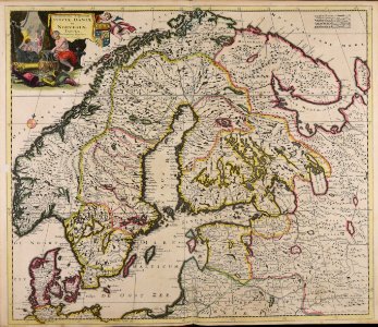
old maps of scandinavia
maps with cartouches
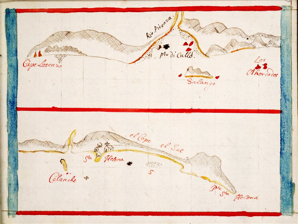
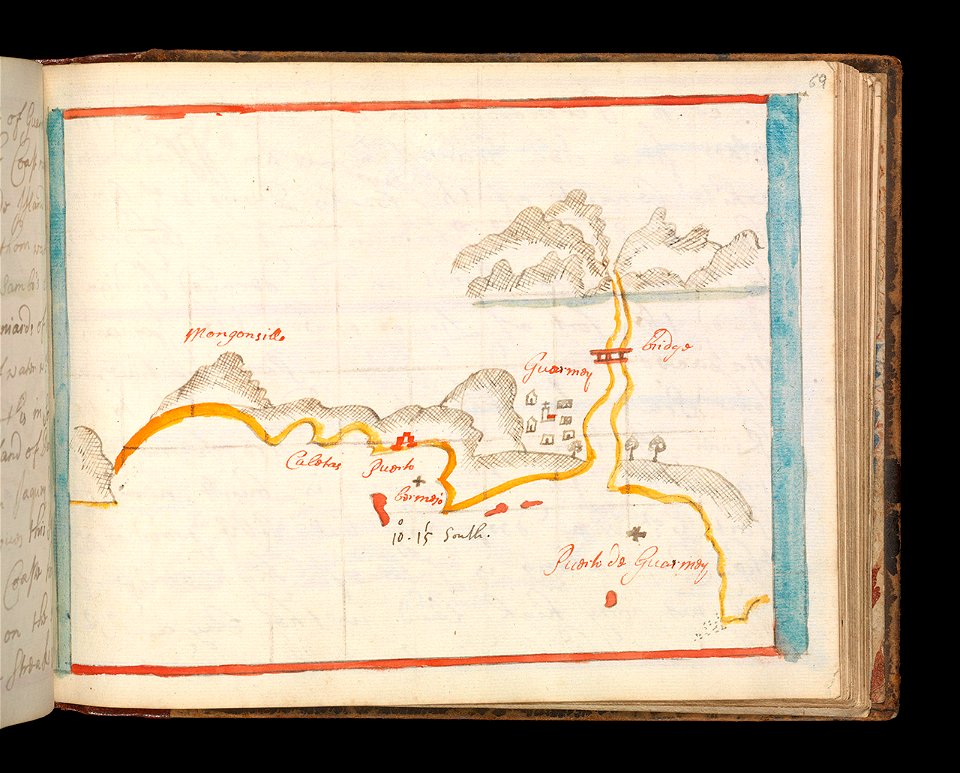
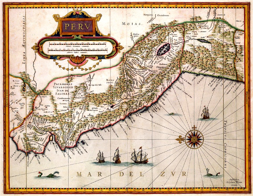
old maps of peru
lizard
maps
8401 - 8500 of 376,713
Next page
/ 3768