Log in
All resources
Create a design
Tools
357,638 Free Images of Maps
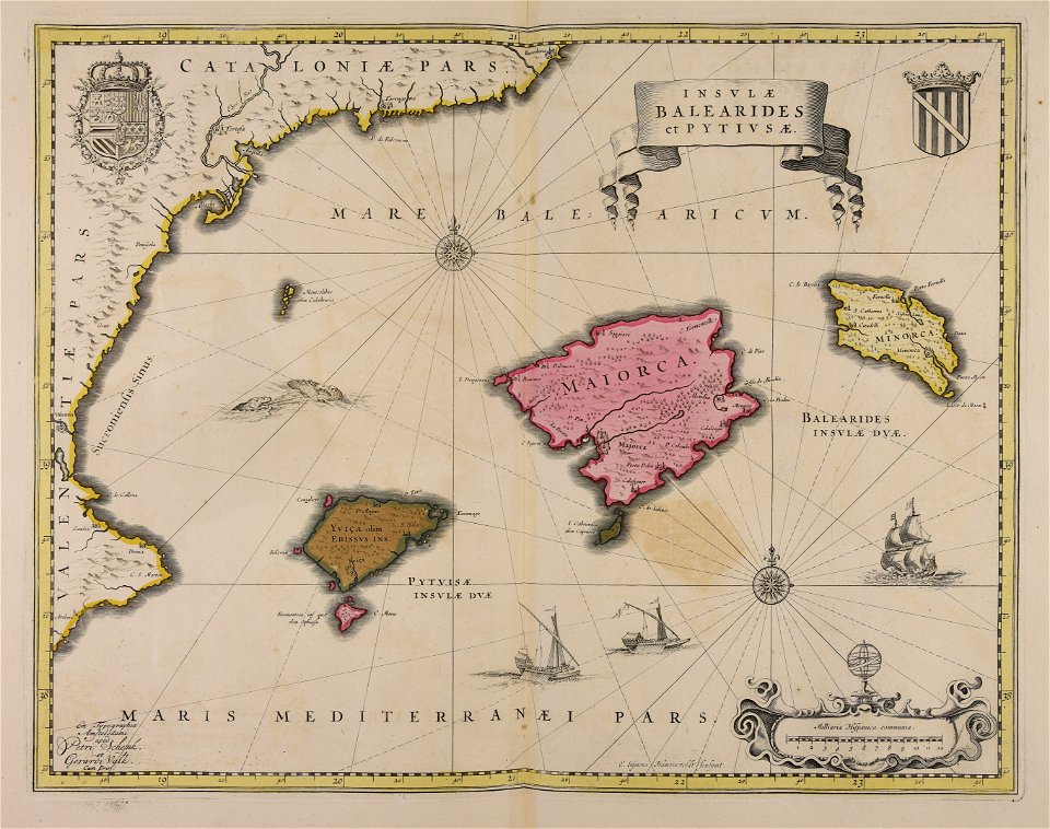
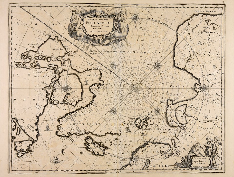
maps made in the 17th century
gerard valck
maps by pieter schenk (i)
atlantis magni tomus quartus (biblioteca comunale di trento)
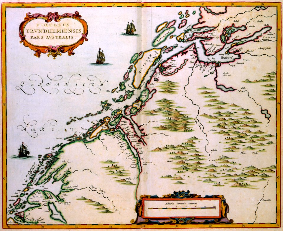
atlas van der hagen
maps with cartouches
atlantis magni tomus tertius (biblioteca comunale di trento)
maps made in the 18th century
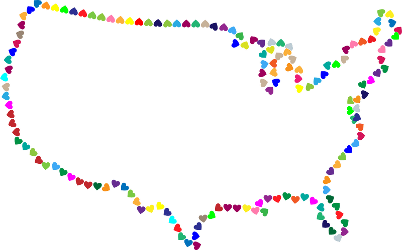
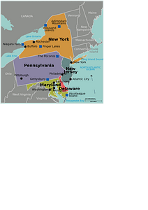
united states
atlantis magni tomus secundus (biblioteca comunale di trento)
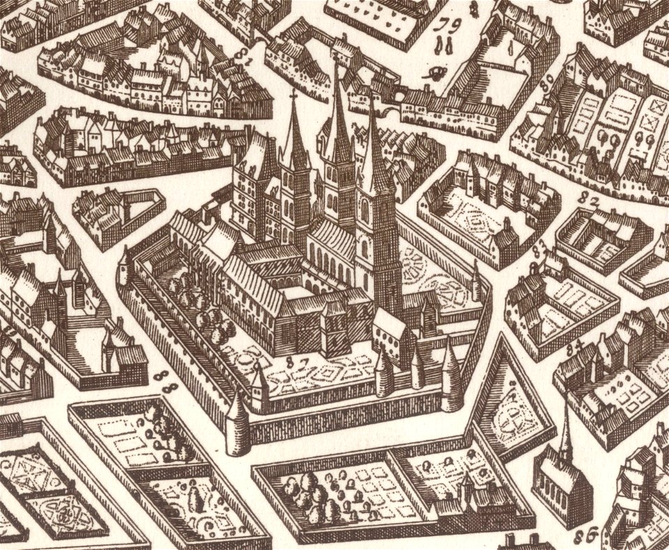
parts of old maps of berlin
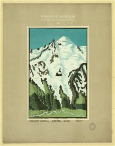
maps of mont blanc
maps of mont blanc
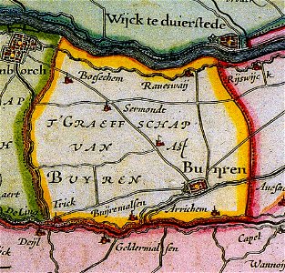
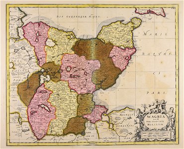
maps of buren
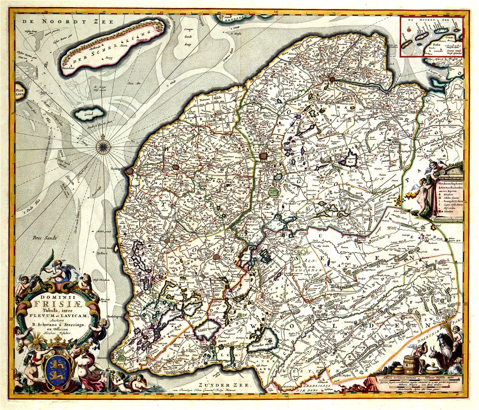
gelderland
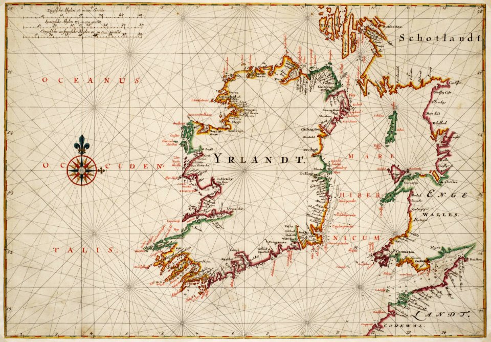
1665
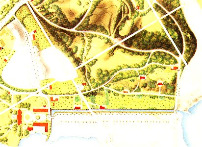
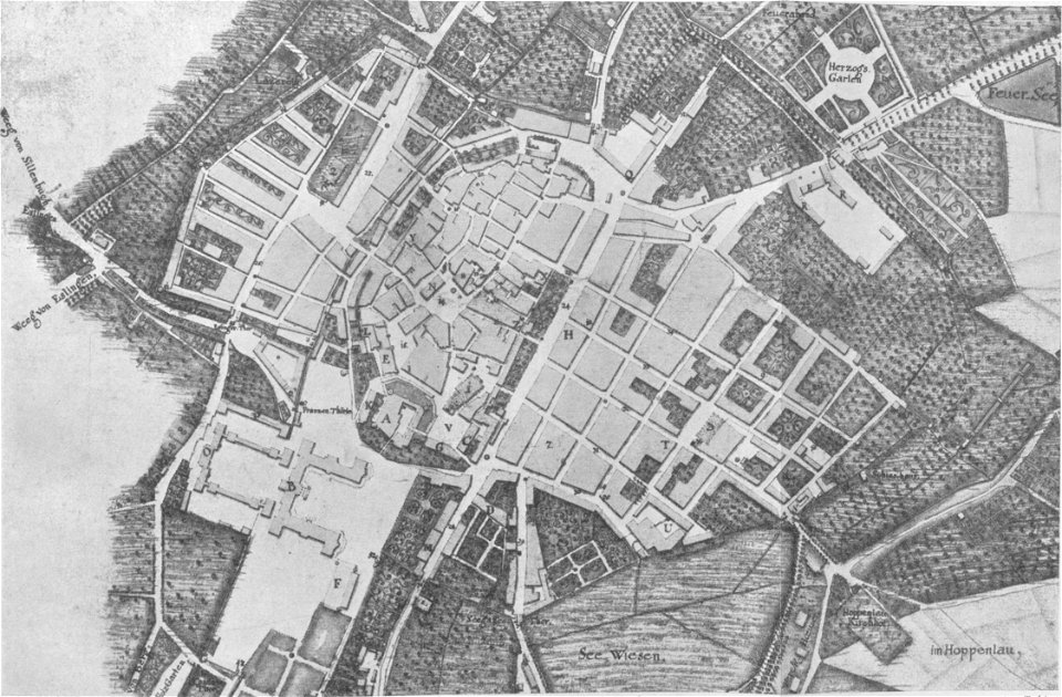
maps of stuttgart
valentine's day
maps
valentine's day
maps
background
maps
atlantis magni tomus primus (biblioteca comunale di trento)
maps made in the 17th century
maps with a scale of 1:40
000
maps by pieter schenk (i)
gerard valck
maps by pieter schenk (i)
gerard valck
maps made in the 18th century
johann baptist homann
gerard valck
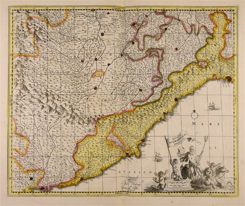
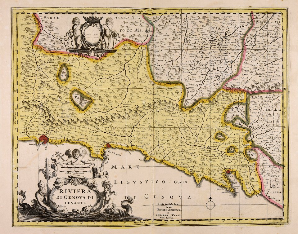
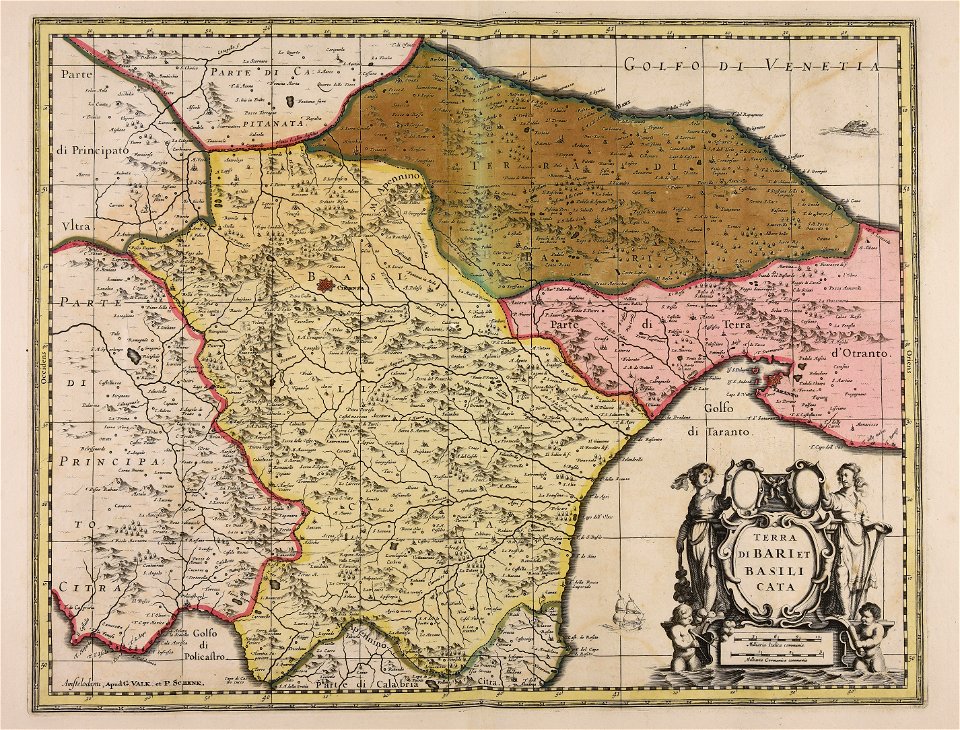
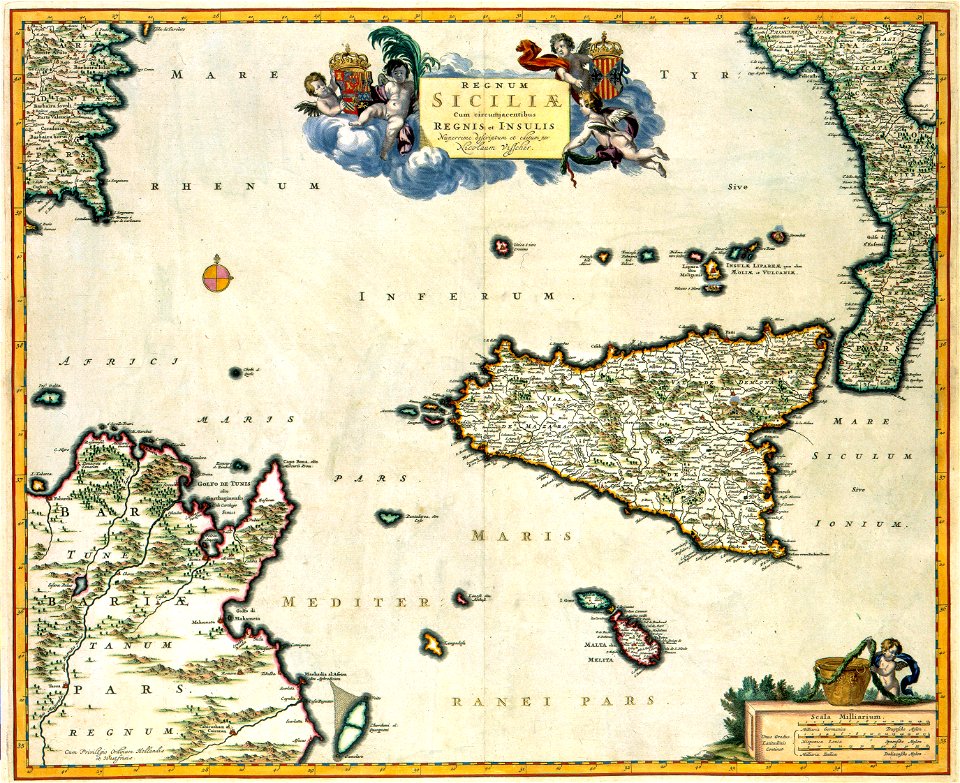
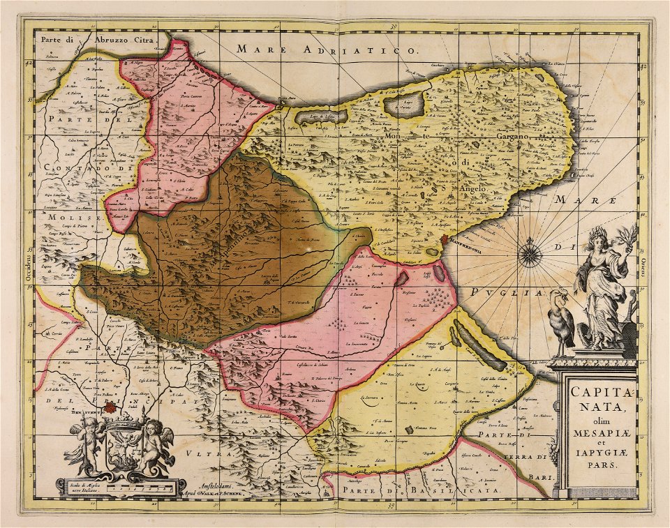
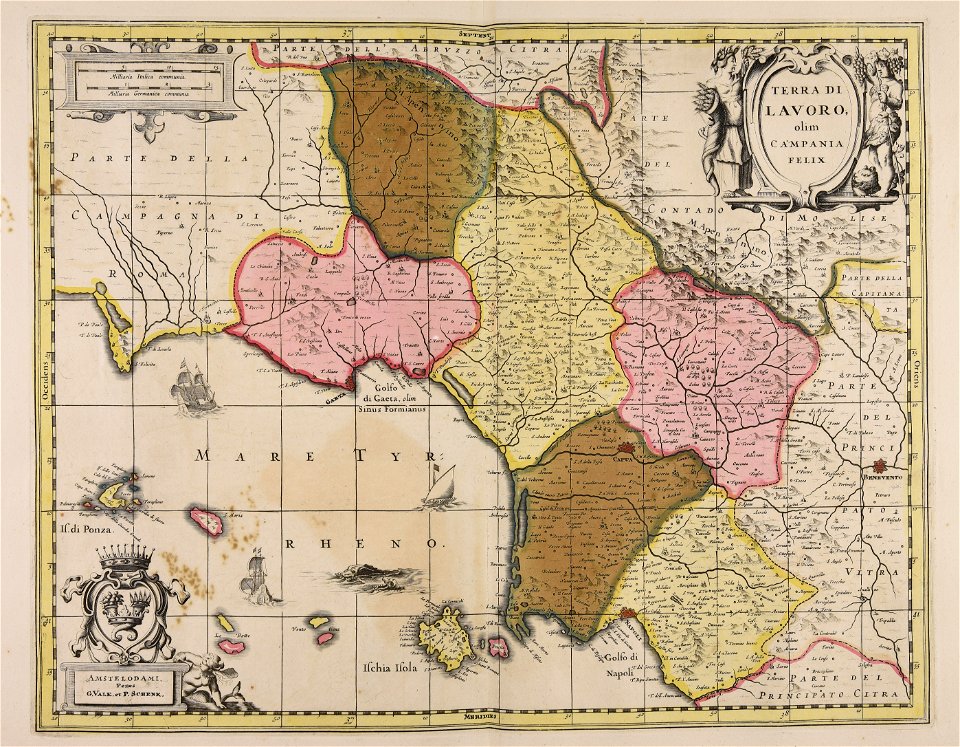
basilicata
atlantis magni tomus secundus (biblioteca comunale di trento)
maps made in the 17th century
atlantis magni tomus quintus (biblioteca comunale di trento)
topographic maps made in 18th century
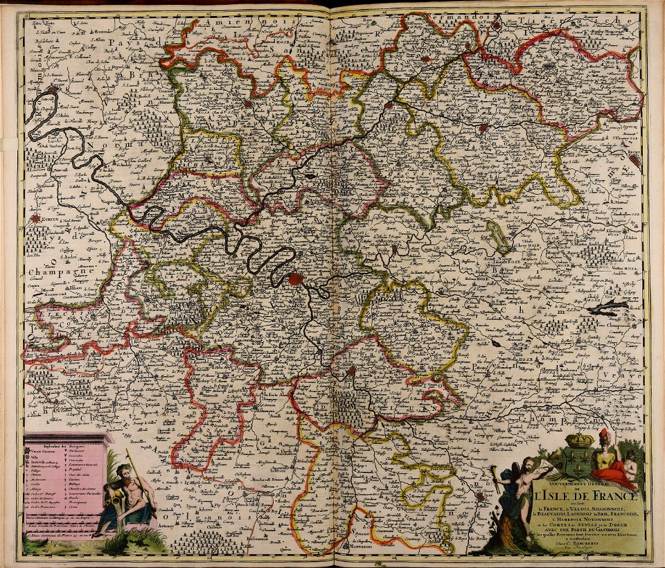
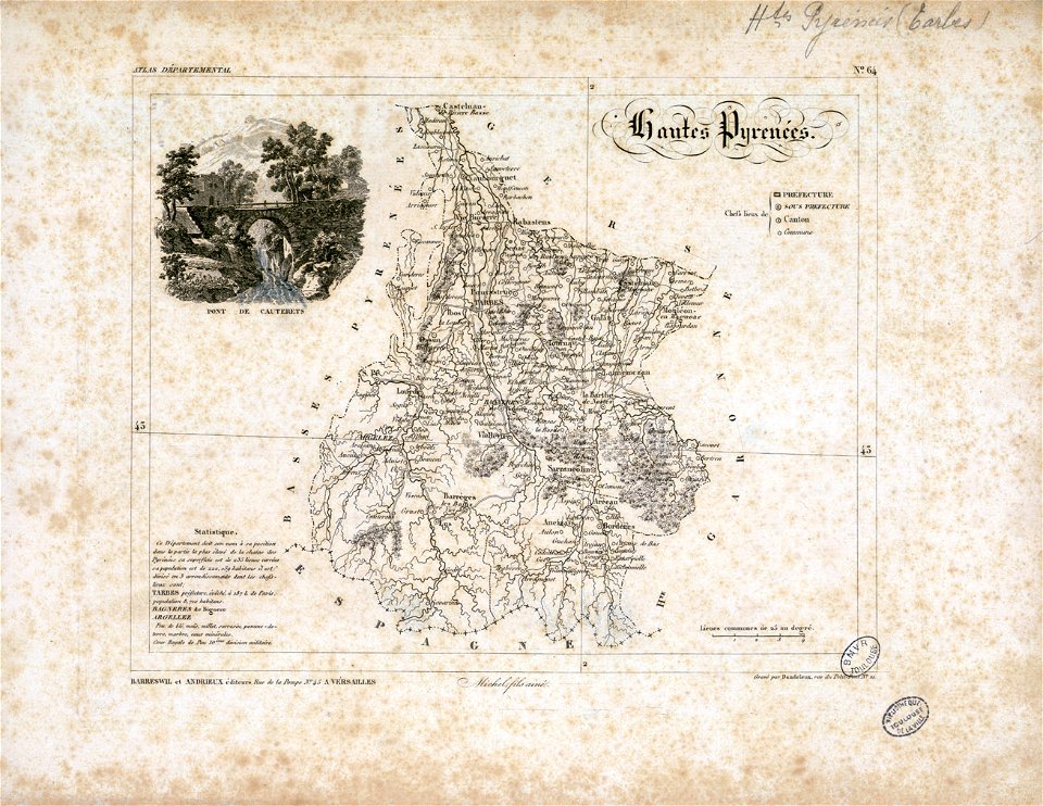
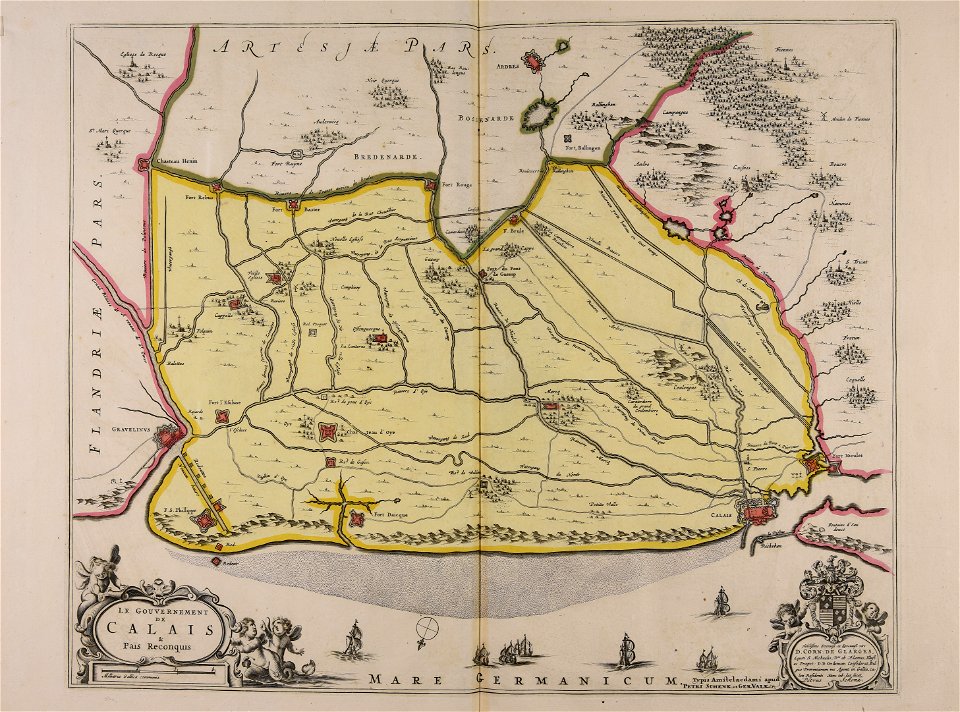
fonds ancely - bibliothèque municipale de toulouse - maps
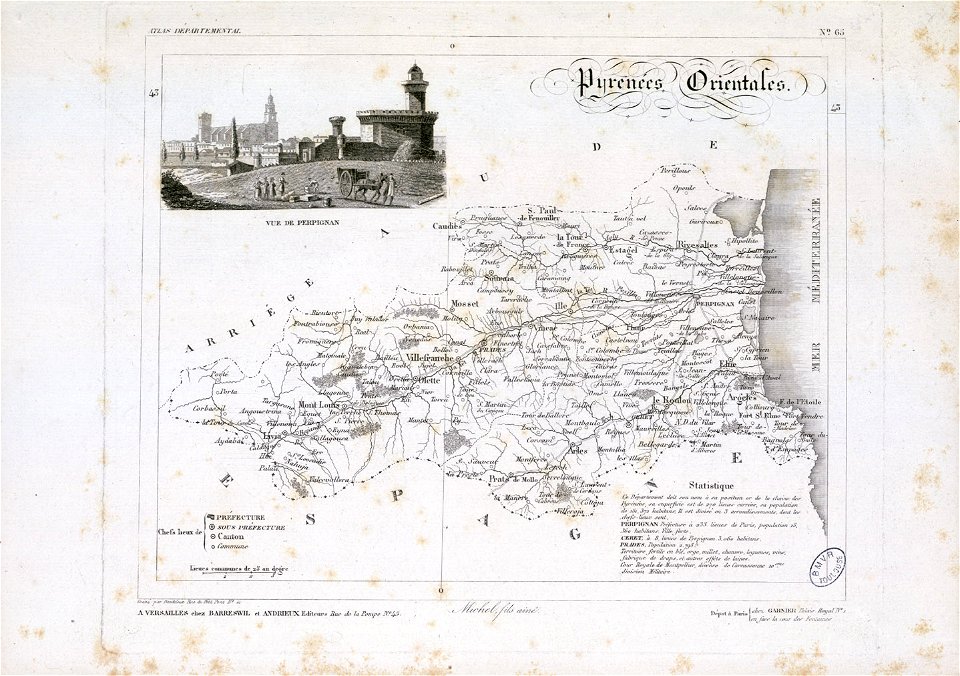
old maps of pyrénées-orientales
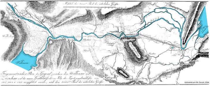
linthebene
linth
maps made in the 17th century
gerard valck
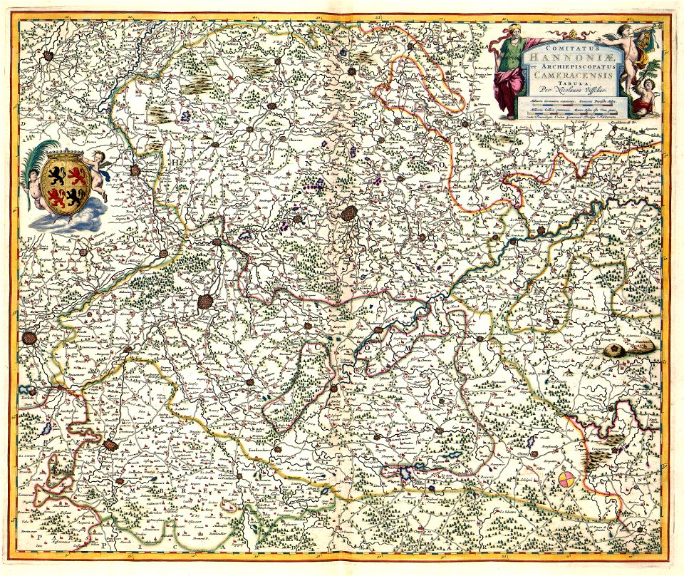
old maps of lower saxony
maps with cartouches
maps with cartouches
atlas van der hagen
maps with cartouches
atlas van der hagen
atlantis magni tomus tertius (biblioteca comunale di trento)
maps made in the 17th century
maps made in the 17th century
cornelis danckerts (i)
maps from the mechanical curator collection available to georeference
maps from the mechanical curator collection
maps made in the 18th century
gerard valck
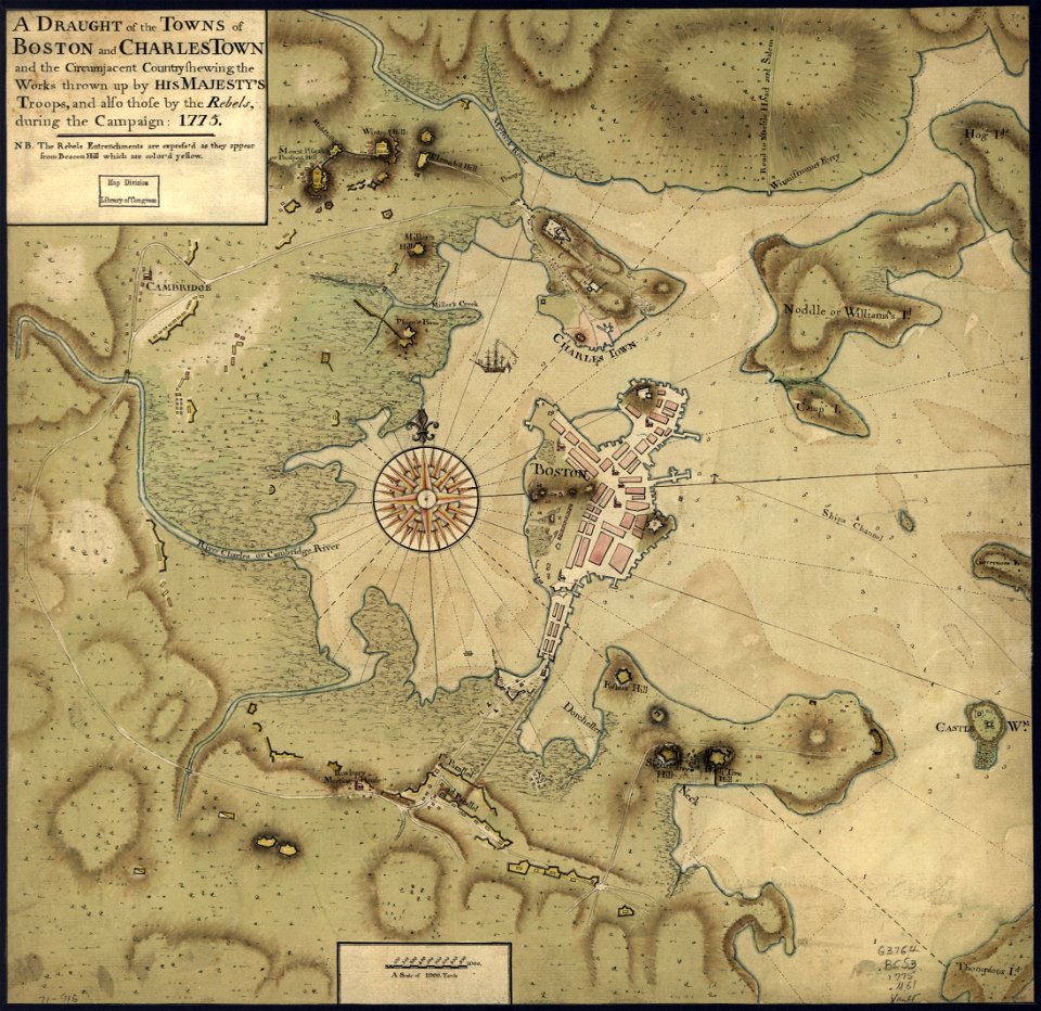
maps in the library of congress
1775 maps of boston
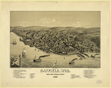
lithographed maps
1886 lithographs
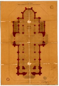
plans of churches in france
1875 maps
plans of churches in france
1873 in bretagne
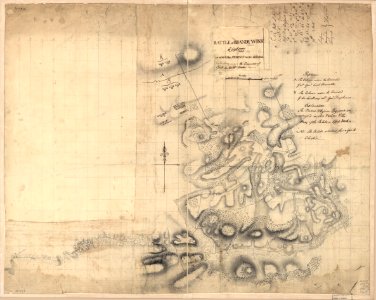
battle of brandywine
pennsylvania
battle of brandywine
pennsylvania
maps made in the 17th century
jan janssonius
maps made in the 17th century
cornelis danckerts (ii)
maps made in the 17th century
nicolaes visscher ii
map of paris by claes jansz. visscher - derivate files
historical images of abbaye de saint-germain-des-prés
maps made in the 17th century
cornelis danckerts (ii)
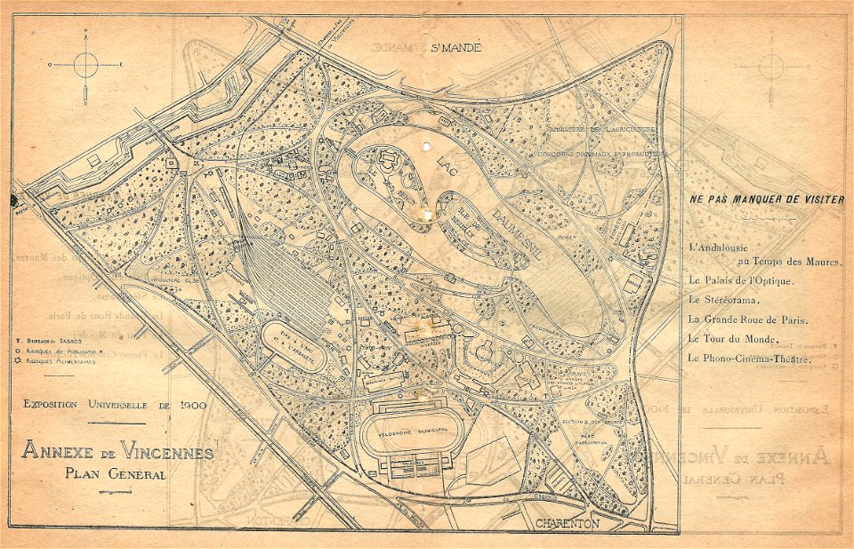
illustrations du catalogue remboursable de l'expo 1900
maps of the exposition universelle (1900)
maps made in the 17th century
cornelis danckerts (i)
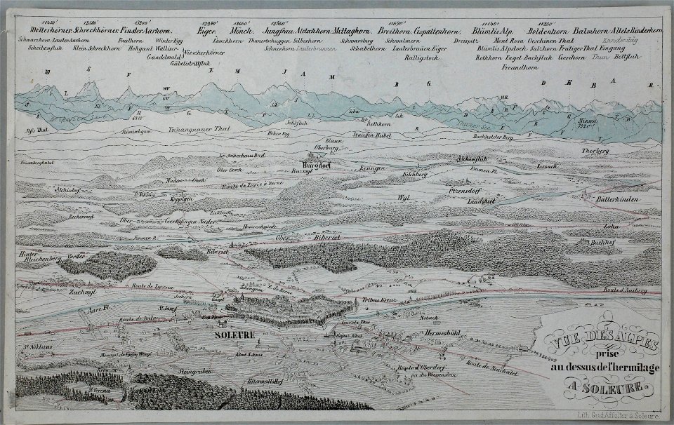
historical images of solothurn
eiger
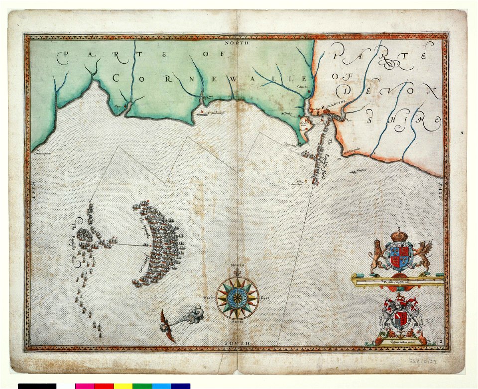
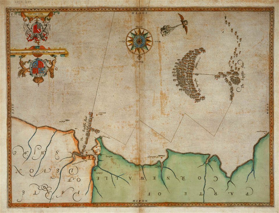
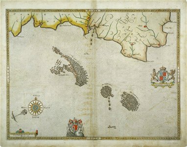
charts and maps of the royal museums greenwich
1590 maps
charts and maps of the royal museums greenwich
1590 maps
gerard valck
syria
old maps of central america
1880 maps
maps with cartouches
old maps of china
maps with cartouches
atlas van der hagen
maps with cartouches
atlas van der hagen
17th-century maps of the americas
maps with cartouches
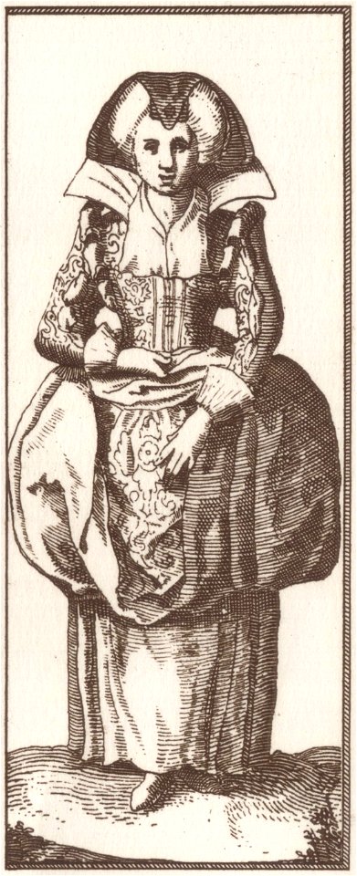
17th-century people of paris
history of fashion in paris
images from the john carter brown library
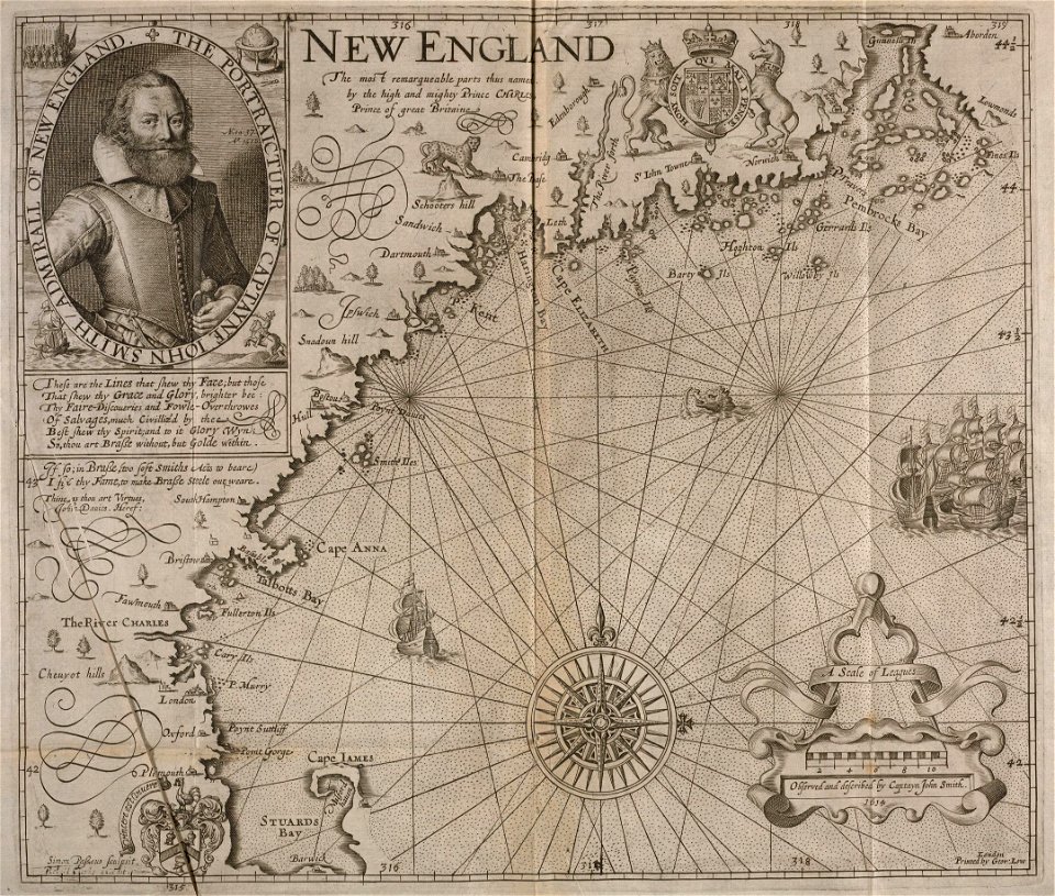
maps by samuel de champlain
maps made in the 17th century
gerard valck
media in the houghton library
harvard university
maps made in the 17th century
gerard valck
lithographs of paris
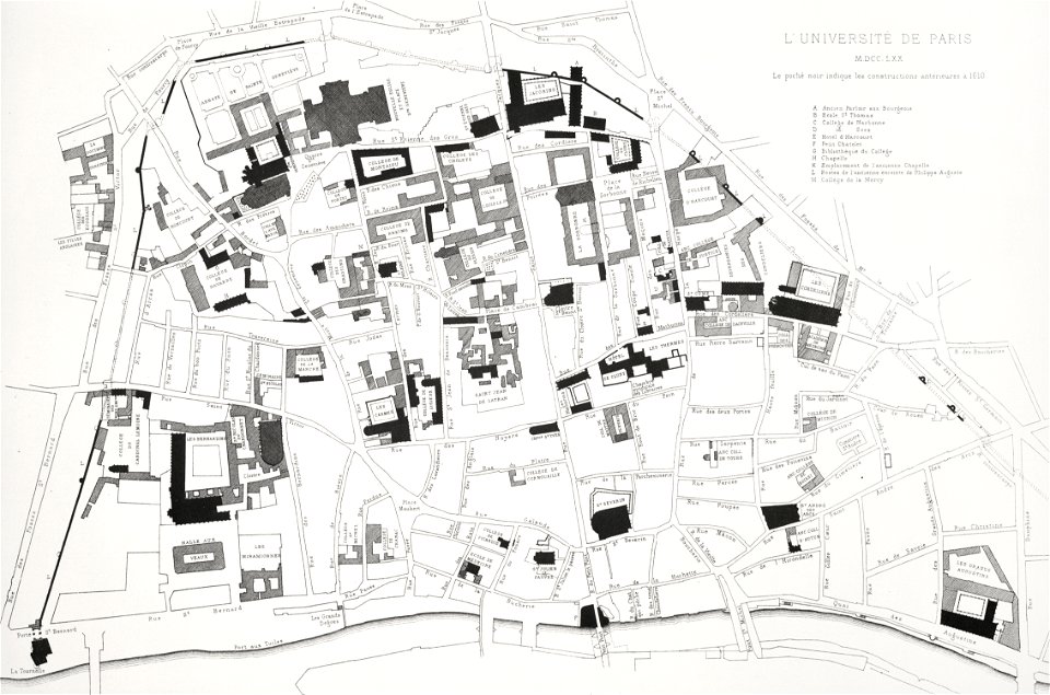
université de paris
maps in the library of congress
1775 maps of boston
charts and maps of the royal museums greenwich
1682 maps
maps made in the 17th century
gerard valck
maps made in the 17th century
gerard valck
artworks with known accession number
artworks without wikidata item
maps with cartouches
copper engraving
maps
nasa
space
maps
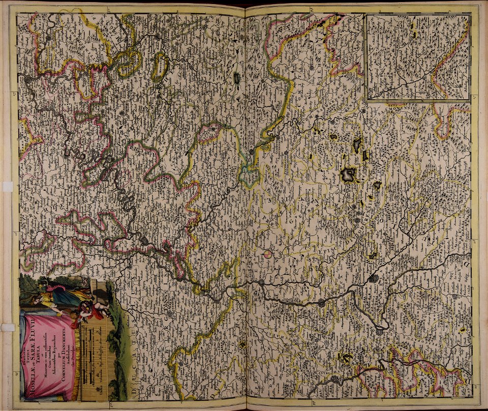
fonds ancely - bibliothèque municipale de toulouse - maps
old maps of hautes-pyrénées
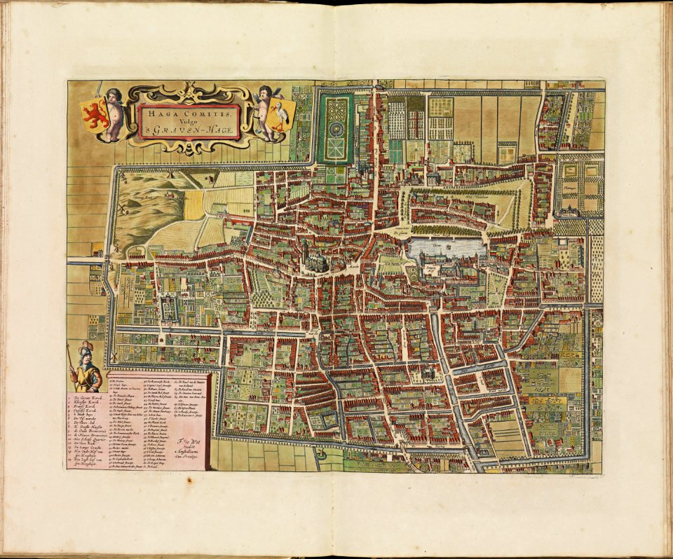
the hague stork in art
old maps of the hague
copper engraving
ships on maps
old maps of lower saxony
maps with cartouches
maps with cartouches
atlas van der hagen
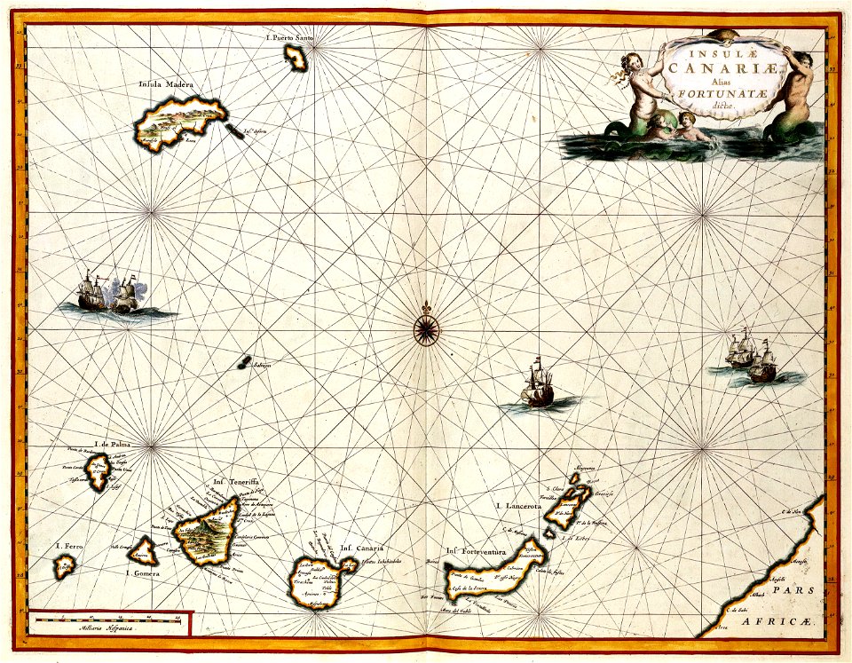
old maps of the canary islands
1667
old maps of frankfurt am main
johann baptist homann
maps made in the 17th century
gerard valck
maps made in the 18th century
gerard valck
maps made in the 17th century
gerard valck
maps made in the 17th century
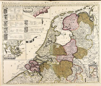
netherlands
maps made in the 17th century
gerard valck
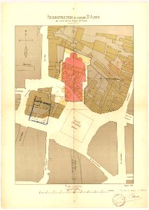
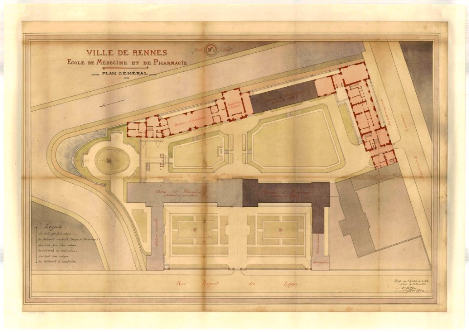
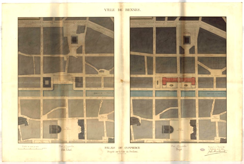
rennes in the 1900s
old maps of rennes
jean-baptiste martenot
rennes in the 1880s
maps made in the 17th century
gerard valck
maps made in the 18th century
paesi bassi
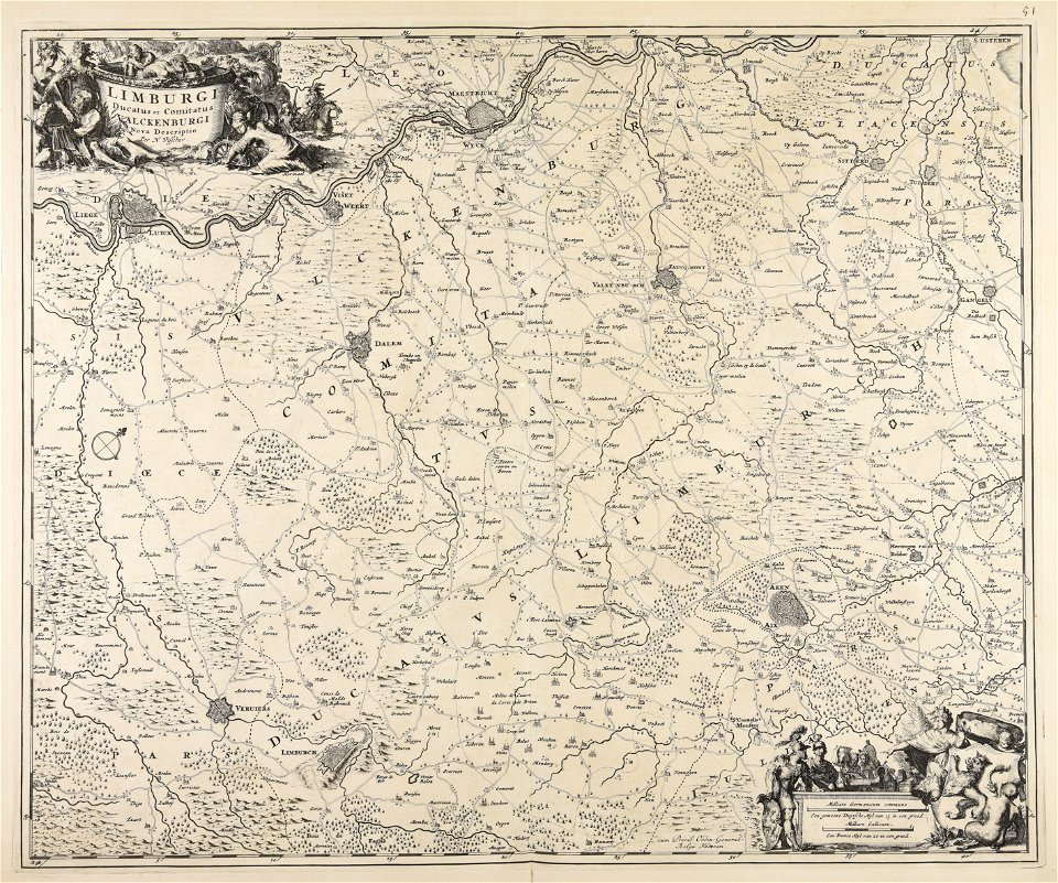
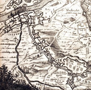
17th-century maps of maastricht
geography of maastricht
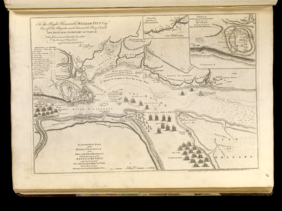
maps of the battle of the plains of abraham
1768 maps
charts and maps of the royal museums greenwich
1590 maps
united states
pd-author
self-published work
spanish
africa map
pd-user
maps
flag
maps
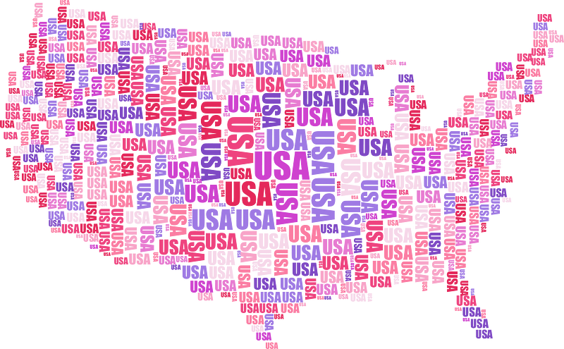
usa
maps
artworks with known accession number
artworks without wikidata item
maps made in the 18th century
johann baptist homann
maps made in the 17th century
gerard valck
maps made in the 17th century
gerard valck
maps made in the 17th century
jan janssonius
maps made in the 18th century
johann baptist homann
gerard valck
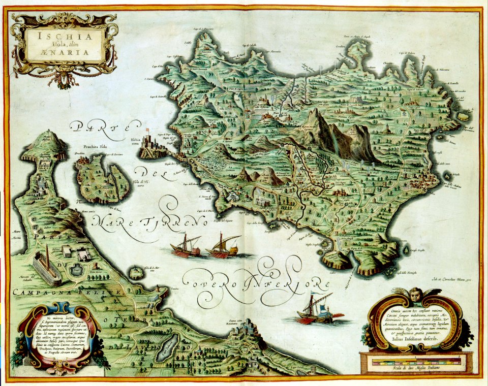
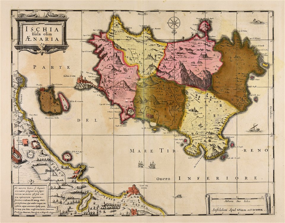
campania
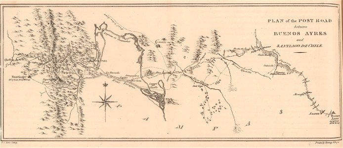
19th-century maps of argentina
1820s lithographs
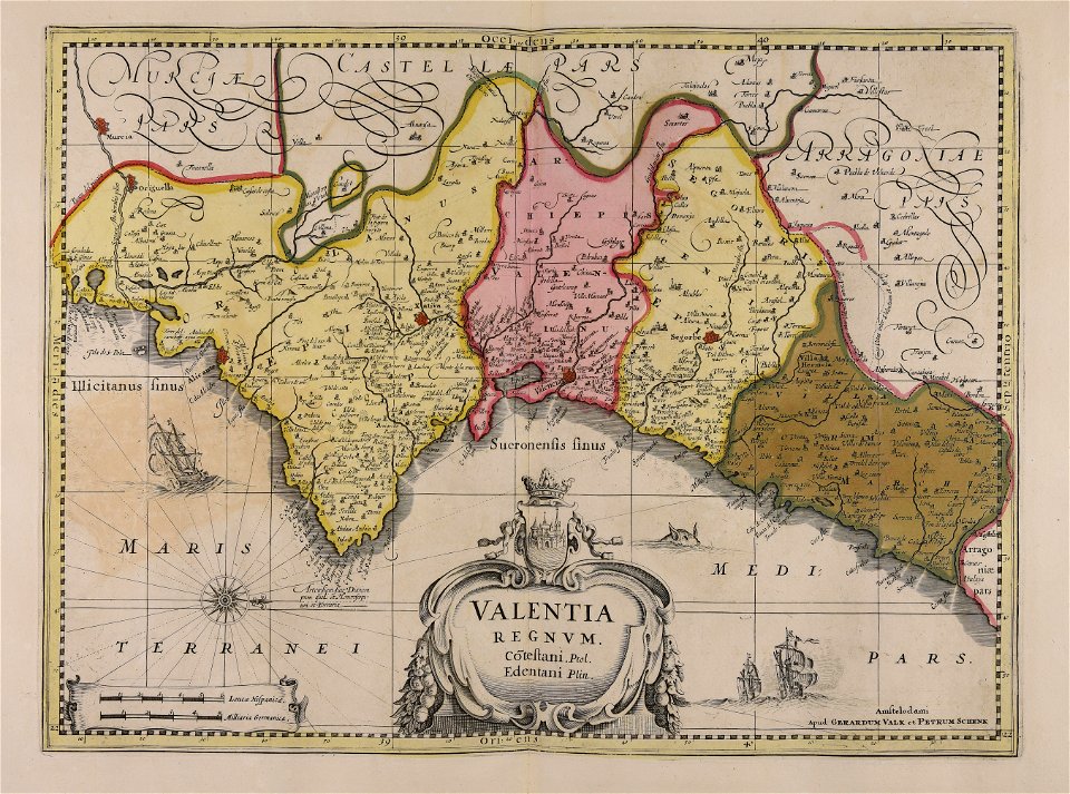
maps by willem and johannes blaeu
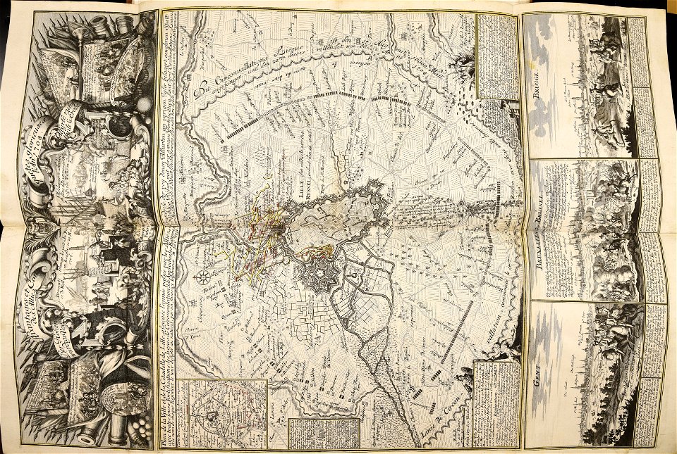
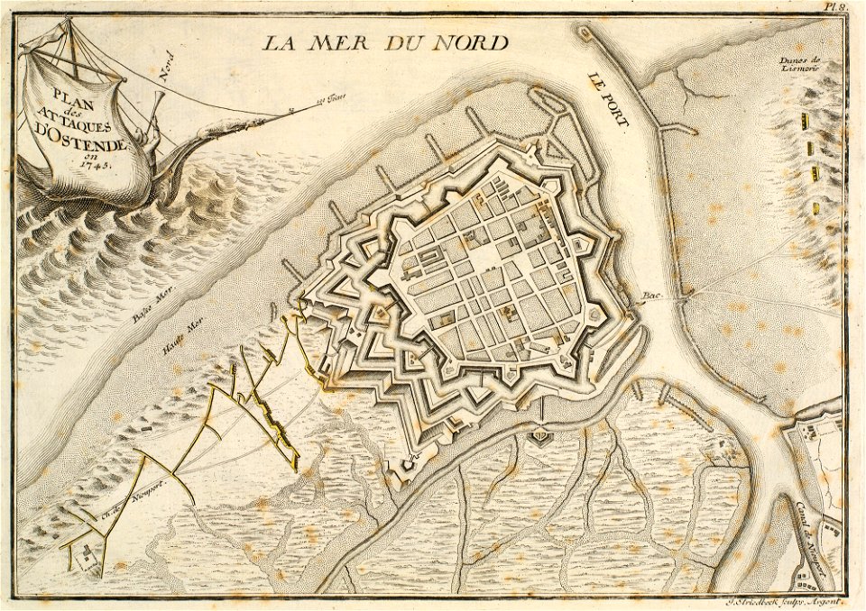
circumvallation
prints in the royal collection of the united kingdom
history of ostend
charts and maps of the royal museums greenwich
1590 maps
history of fashion in paris
paris in the 17th century
10101 - 10200 of 357,638
Next page
/ 3577