Log in
All resources
Create a design
Tools
357,549 Free Images of Maps
maps in the library of congress
old maps of pennsylvania
1902 maps
old maps of massachusetts
1895 maps
david rumsey historical map collection
old maps of maine
1889 maps
1814 maps
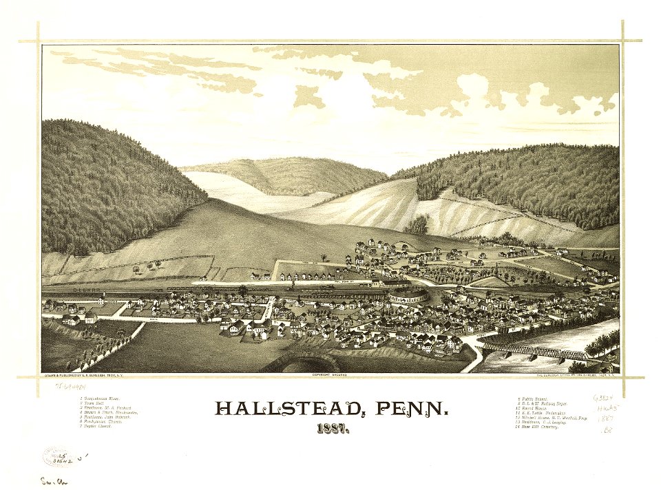
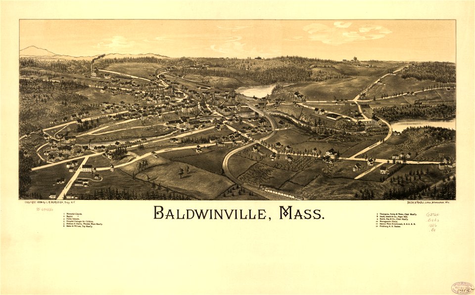
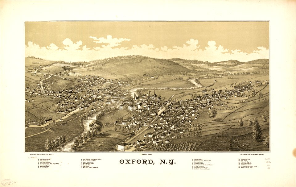
town maps by l. r. burleigh
maps in the library of congress
old maps of pennsylvania
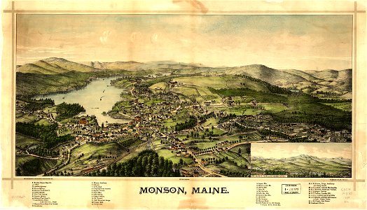
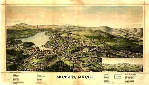
monson
maine
monson
maine
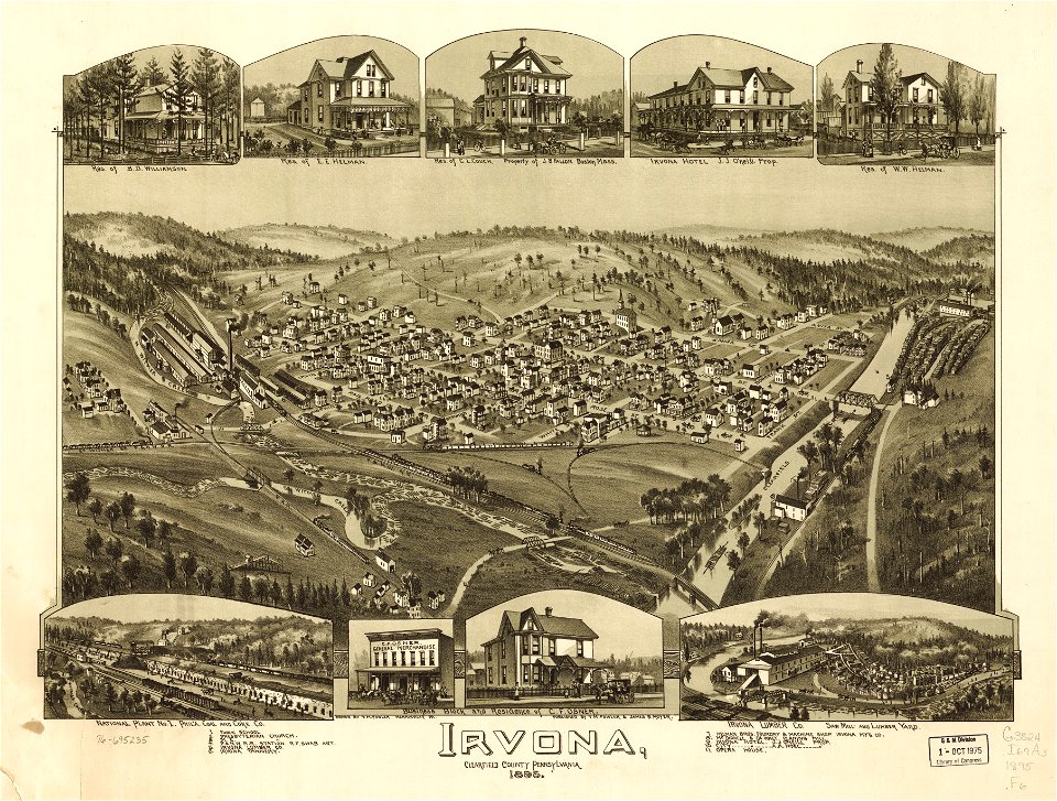
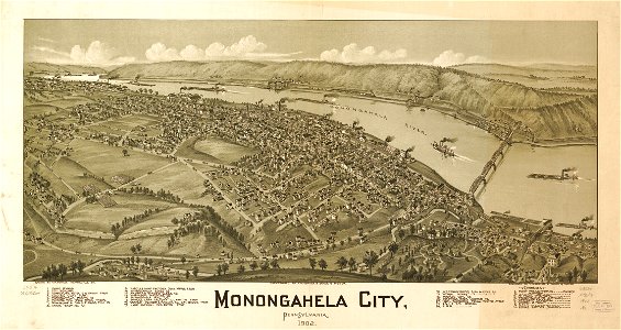
maps in the library of congress
old maps of pennsylvania
maps in the library of congress
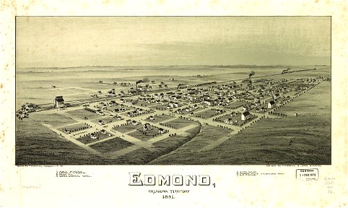
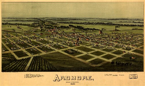
o. h. bailey
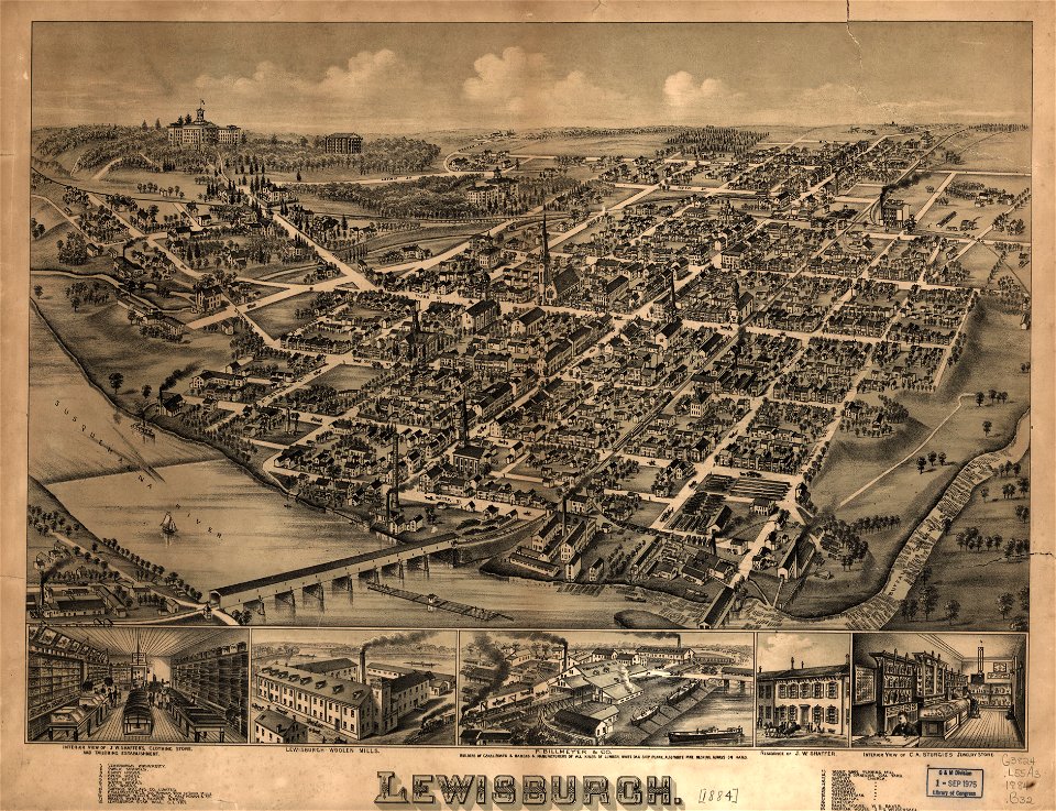
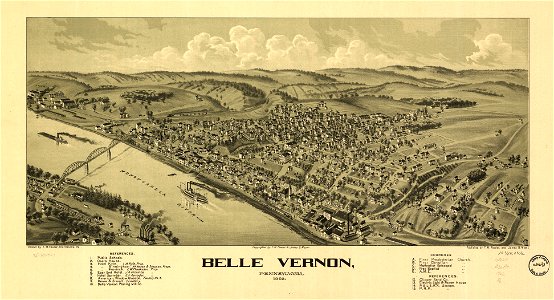
maps in the library of congress
old maps of pennsylvania
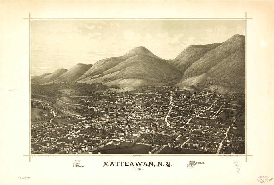
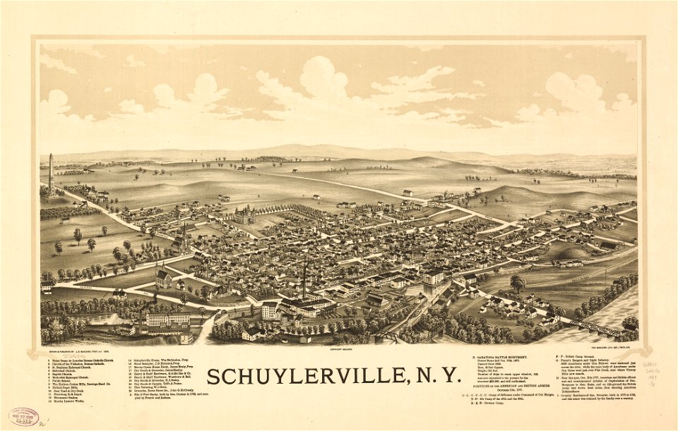
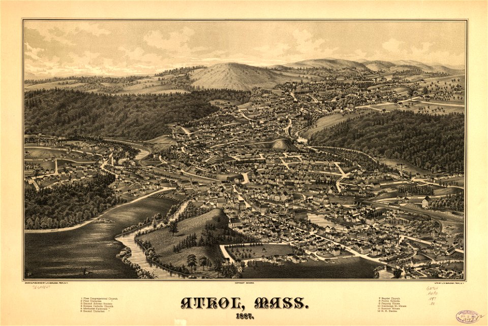
maps in the library of congress
old maps of massachusetts
maps in the library of congress
old maps of asia
maps in the library of congress
old maps of asia
maps in the library of congress
old maps of asia
maps in the library of congress
old maps of texas
maps in the library of congress
1889 maps
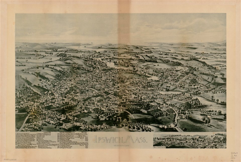
maps in the library of congress
old maps of massachusetts
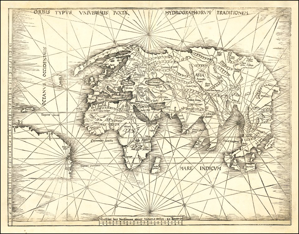
maps by martin waldseemüller
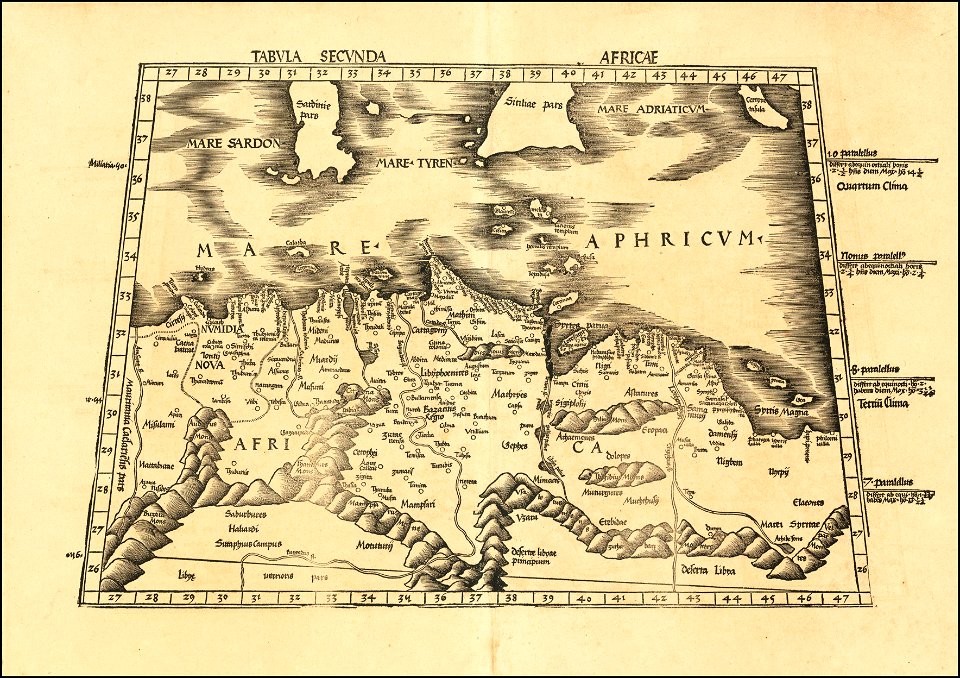
ptolemy's 2nd african map
maps in the library of congress
1891 map
maps in the library of congress
1891 map
maps in the library of congress
1851 maps
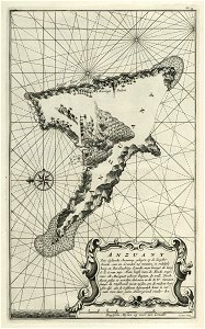
maps of the dutch east india company - comoros
1726 maps
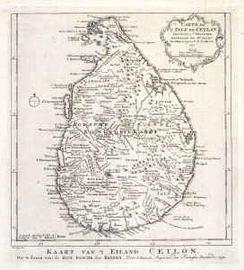
maps of the dutch east india company - sri lanka
1753 maps
maps of the west-indische compagnie
1732 maps
maps in the library of congress
old maps of maine
maps in the library of congress
old maps of pennsylvania
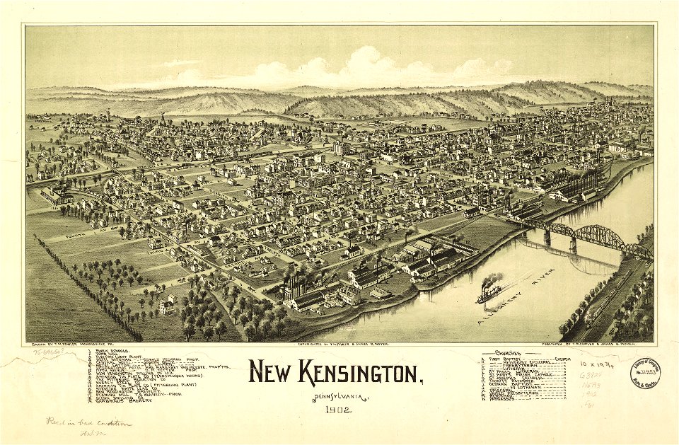
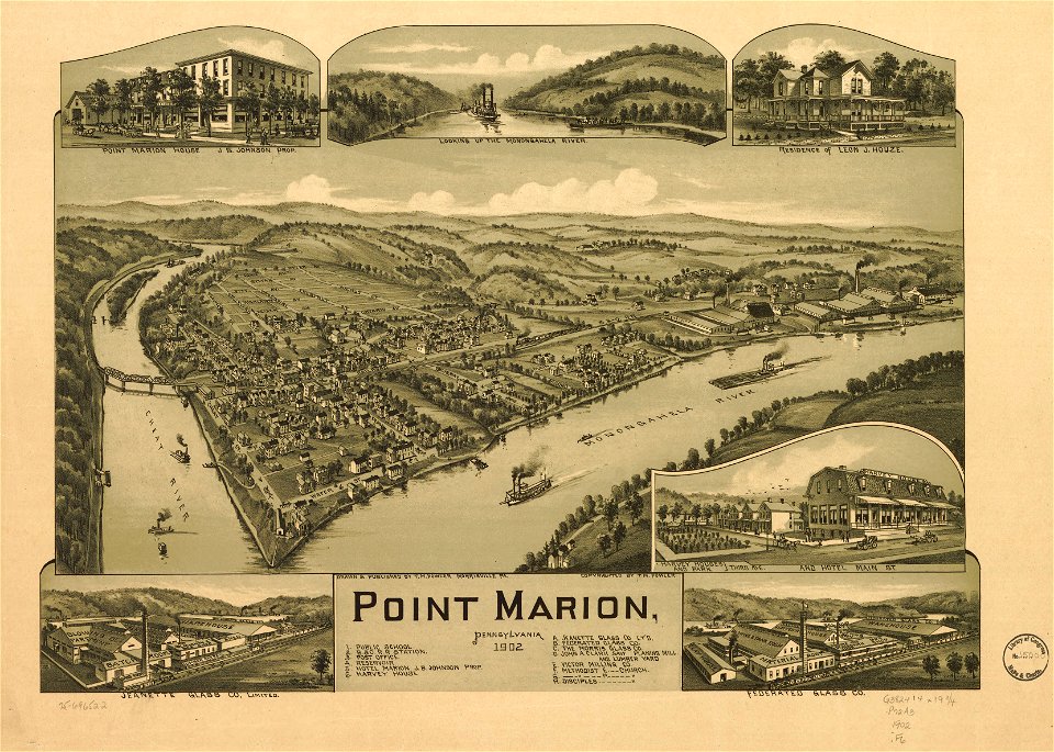
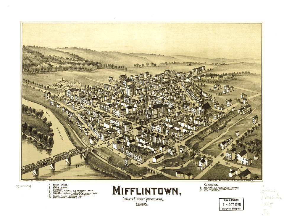
maps in the library of congress
old maps of pennsylvania
maps in the library of congress
1889 maps of iowa
maps in the library of congress
old maps of pennsylvania
old maps of japan
1770s maps
maps in the library of congress
old maps of pennsylvania
maps in the library of congress
old maps of pennsylvania
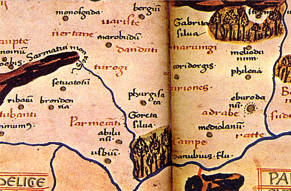
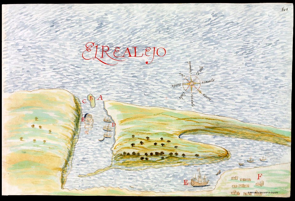
old manuscript maps
pictorial maps
old manuscript maps
pictorial maps
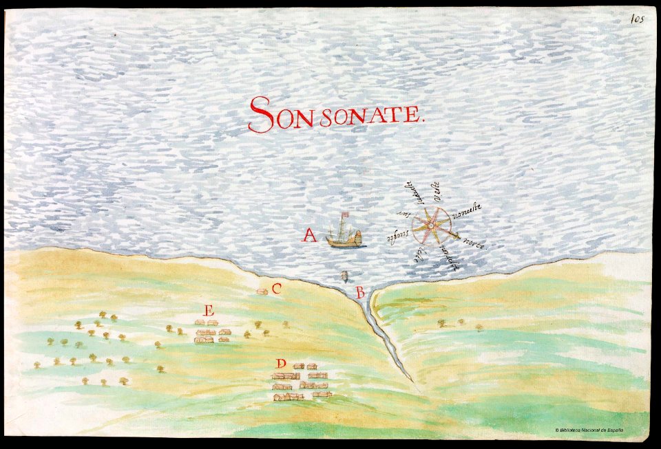
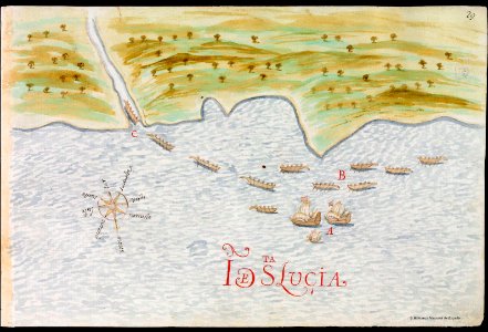
old maps of saint lucia
pictorial maps
david rumsey historical map collection
j. and p. knapton
illustration
maps
maps
moon
australia
maps
astronomy
maps
1870s maps of the world
latin-language maps
david rumsey historical map collection
german-language maps
wisconsin
watertown
casco viejo
panama
french-language maps of europe
coats of arms on maps
old maps of the middle east
jr
david rumsey historical map collection
jr
1620s maps of the world
1621 maps
1860s maps of palestine
1865 maps
old maps of massachusetts
martha's vineyard
pennsylvania
hallstead
maps in the library of congress
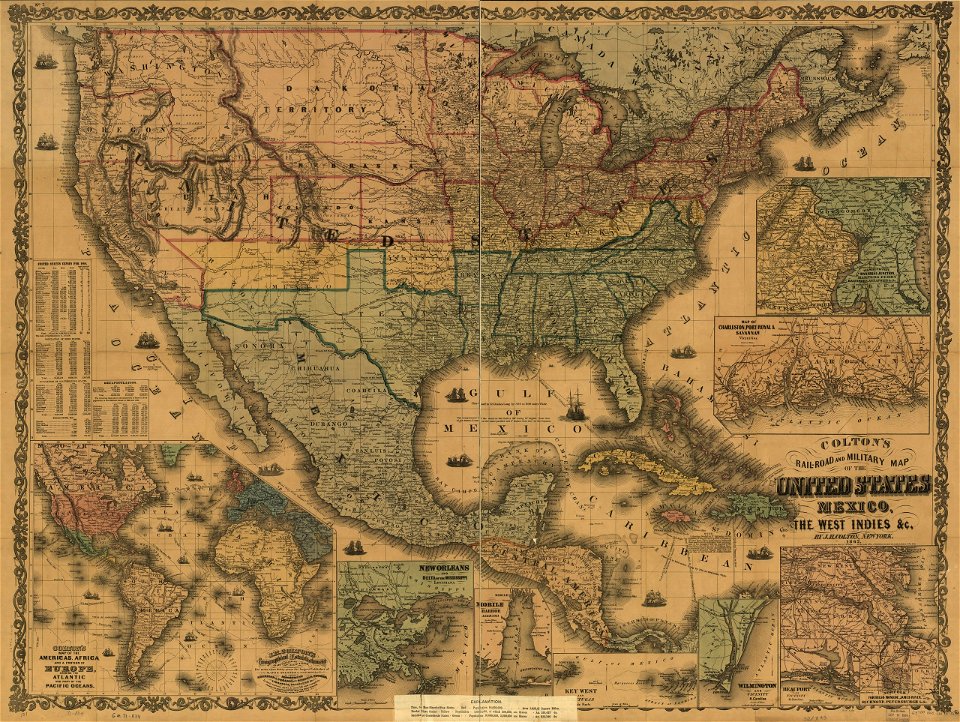
old maps of mexico
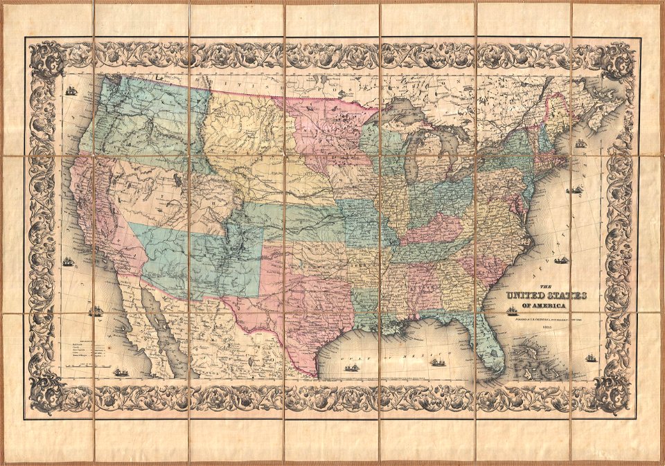
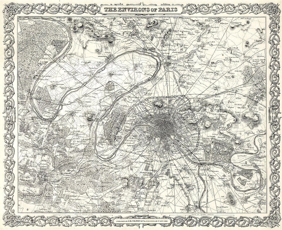
maps by joseph hutchins colton
english-language maps
bellaire
ohio
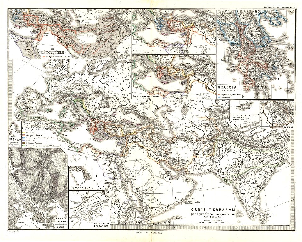
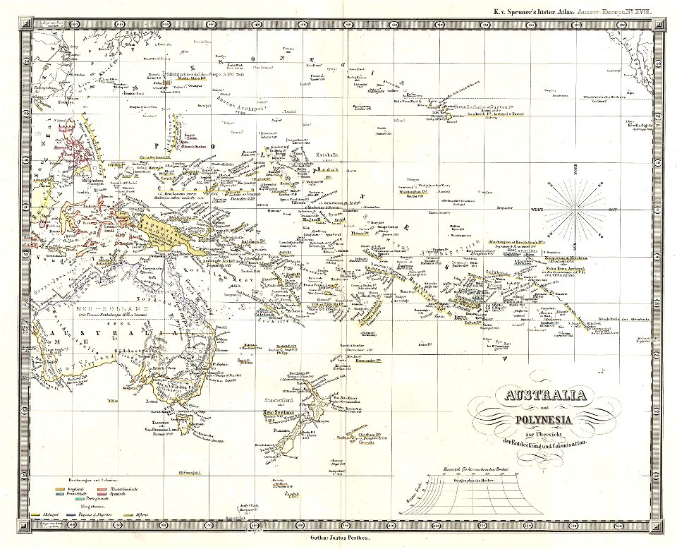
karl spruner von merz
1865 maps of europe
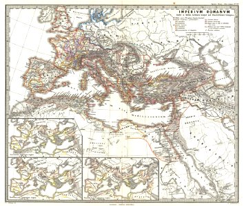
old maps of the roman empire
1865 maps
maps from the mechanical curator collection
1868 maps
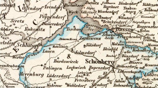
old maps of mecklenburg
maurin
maps in the library of congress
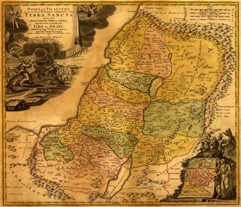
old maps of israel
volume 6 of le tour du monde
1860s maps of eritrea
david rumsey historical map collection
j. and p. knapton
johannes ratelband
1747 maps
maps from the mechanical curator collection
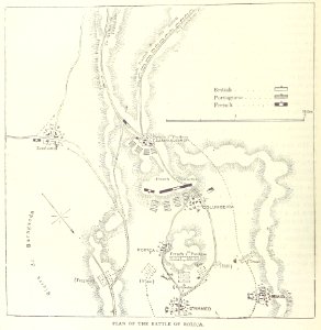
british battles on land and sea
maps by pieter schenk (i)
gerard valck
maps of the west-indische compagnie
1647
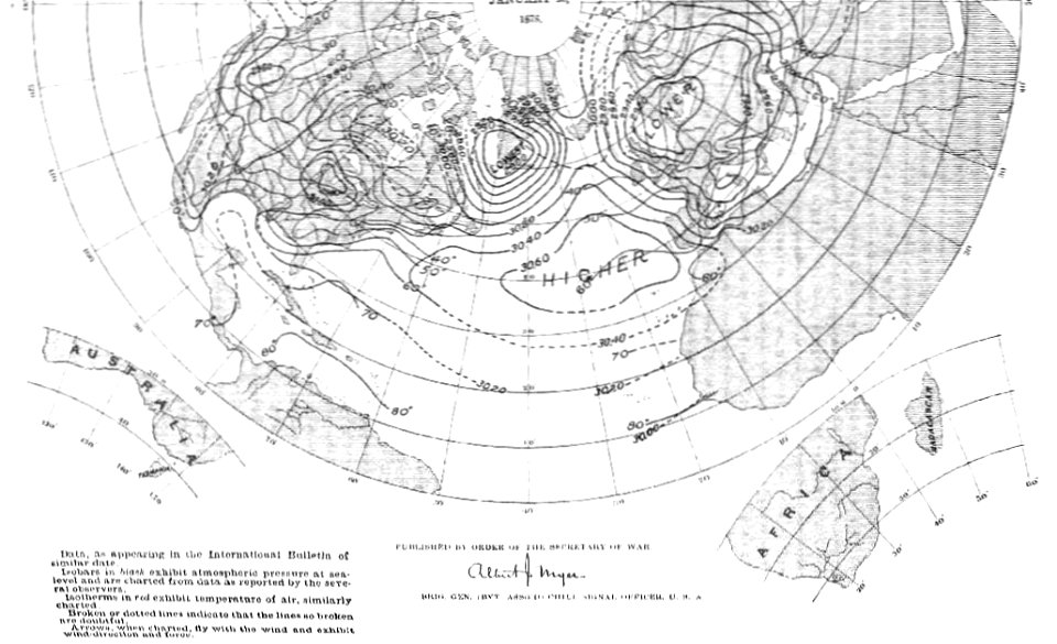
old weather and climate maps
1880 maps
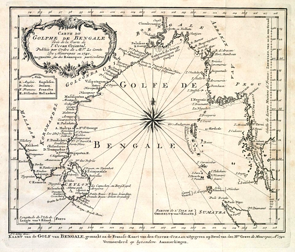
dutch bengal
1747)
1855 in paris
1855 maps
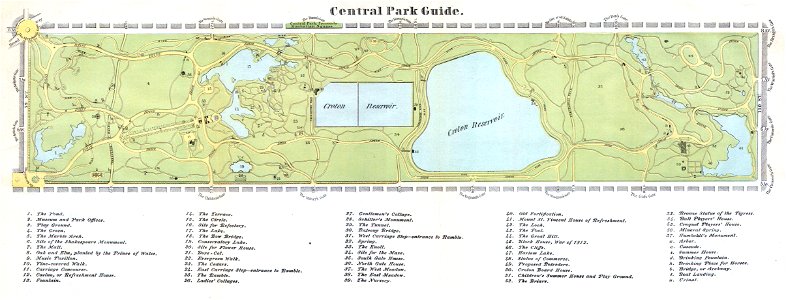
old maps of manhattan
new york city
old maps of australia
karl spruner von merz
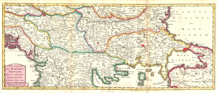
kingdom of serbia (1718–1739)
maps of the sea of marmara
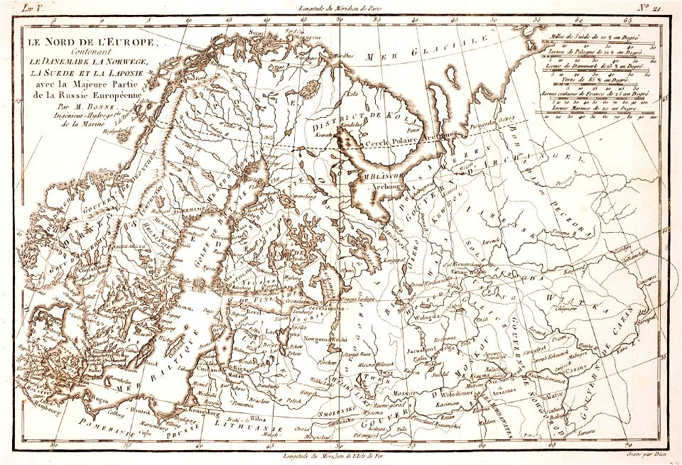
1780 maps of finland
1780 maps of norway
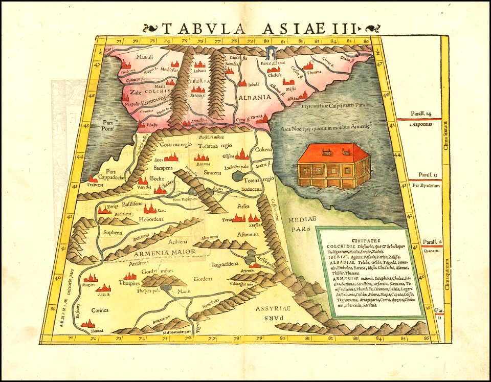
maps by sebastian münster
1542 maps
maps in the library of congress
old maps of pennsylvania
maps in the library of congress
old maps of louisiana
maps in the library of congress
old maps of louisiana
1590s maps of the world
giuseppe rosaccio
charts and maps of the royal museums greenwich
1632 maps
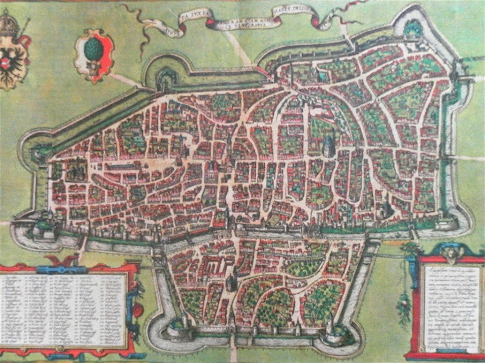
maps with cartouches
braun & hogenberg
old maps of massachusetts
massachusetts
maps by martin waldseemüller
1510s maps of the world
maps in the library of congress
old maps of maine
maps in the library of congress
old maps of delaware
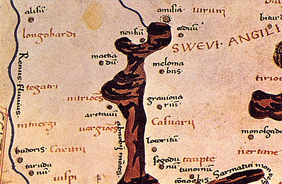
maps of germania magna
details of old maps
maps in the library of congress
1891 map
maps in the library of congress
1891 map
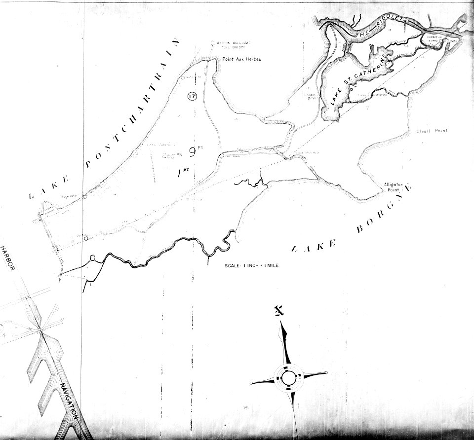
maps of eastern new orleans
the rigolets
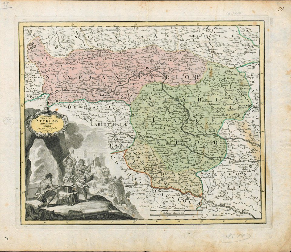
18th-century maps of slovenia
maps by christoph weigel
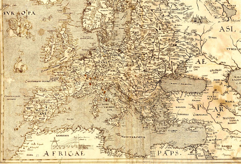
old maps of europe
1570 maps
maps in the library of congress
old maps of pennsylvania
maps in the library of congress
old maps of pennsylvania
maps in the library of congress
old maps of new york (state)
maps in the library of congress
old maps of maryland
maps in the library of congress
old maps of pennsylvania
maps in the library of congress
old maps of new hampshire
maps in the library of congress
old maps of pennsylvania
maps in the library of congress
town maps by l. r. burleigh
maps of germania magna
details of old maps
maps in the library of congress
old maps of massachusetts
maps in the library of congress
old maps of pennsylvania
maps in the library of congress
old maps of pennsylvania
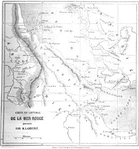
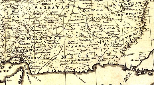
maps of the persian gulf
james justinian morier
maps in the library of congress
o. h. bailey
maps in the library of congress
1889 maps
4301 - 4400 of 357,549
Next page
/ 3576


![Johnson's Western Hemisphere [and] Johnson's Eastern Hemisphere (1866) by Johnson and Ward.](https://cdn.creazilla.com/illustrations/1955988/johnson-s-western-hemisphere-and-johnson-s-eastern-hemisphere-1866-by-johnson-an-sm.jpeg)