Log in
All resources
Create a design
Tools
357,549 Free Images of Maps
maps in the library of congress
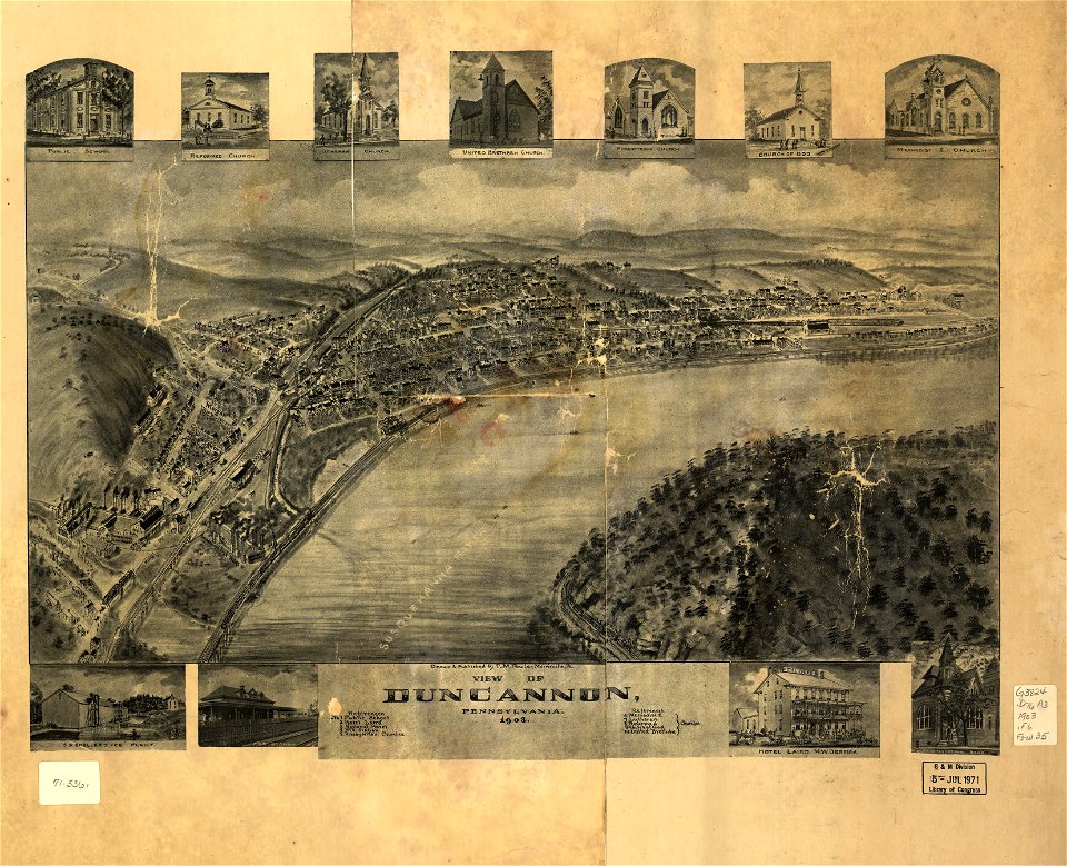
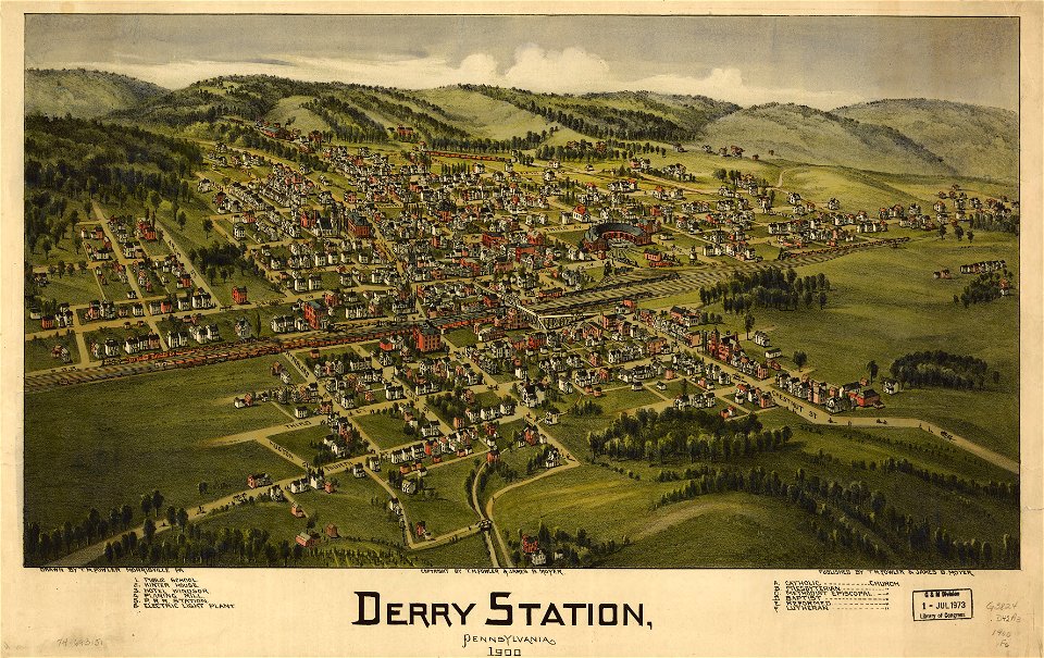
old maps of pennsylvania
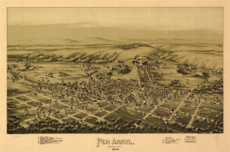
1895 maps
1891 map
1889 maps
old maps of new hampshire
old maps of texas
1902 maps
1894 maps
charts and maps of the royal museums greenwich
old weather and climate maps
1880 maps
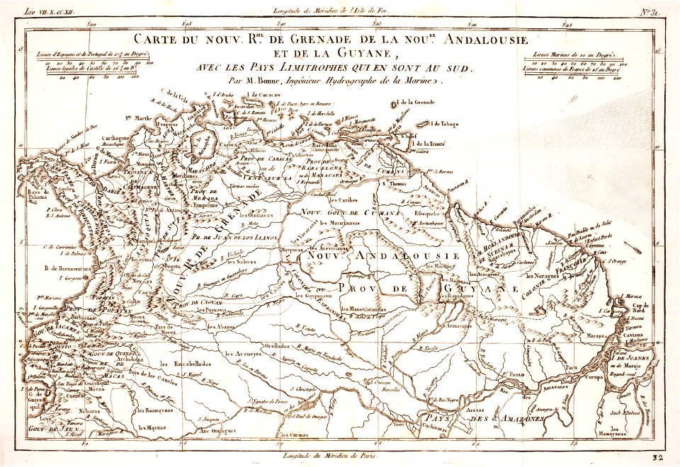
18th-century maps of brazil
1780 in south america
old maps of mexico
pictorial maps
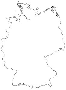
germany map
germany
old maps of mexico
pictorial maps
old weather and climate maps
1872 maps
french-language maps
johannes ratelband
maps from the mechanical curator collection
1800s maps of palestine
maps of paris from the david rumsey historical map collection
paris in the 16th century
vintage
maps
maps
usa
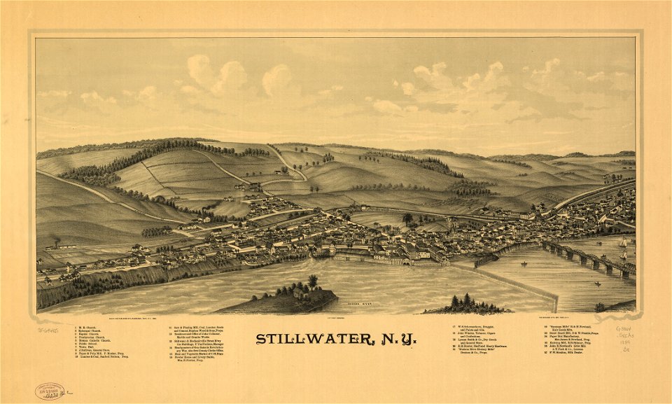
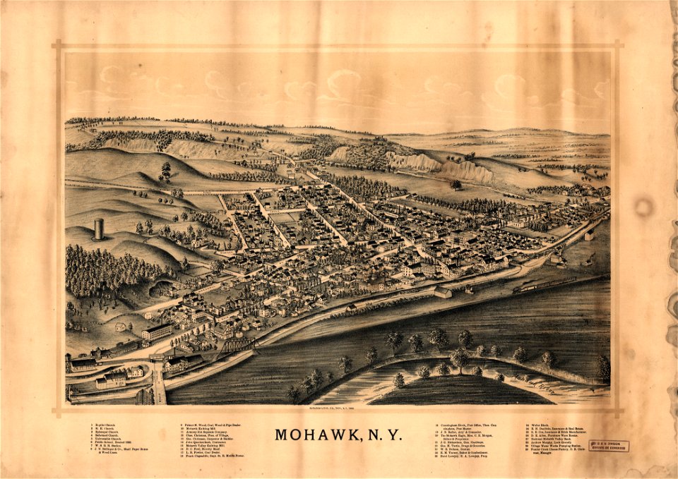
old maps of new york (state)
new york city
fortifications in the netherlands
netherlands
18th-century maps of italy
frederick de wit
david rumsey historical map collection
old maps of france
david rumsey historical map collection
1866 in paris
maps from the mechanical curator collection
1814 maps
18th-century maps of indonesia
1724
karl spruner von merz
old maps of sardinia
maps by joseph hutchins colton
1853 maps of oregon
cosmographia claudii ptolomaei alexandrini
latin-language maps
david rumsey historical map collection
maps by william faden
bird's eye view maps of paris
pictorial maps of paris
dancker danckerts
joan blaeu
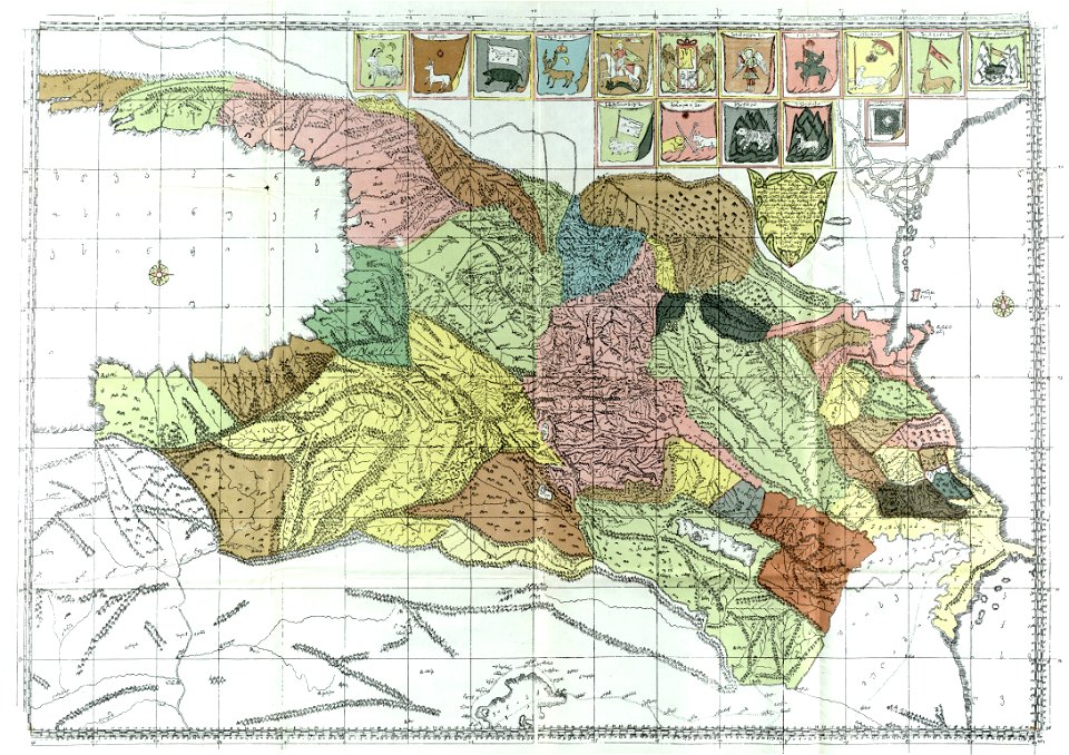
description of kingdom of georgia
its habits and canons
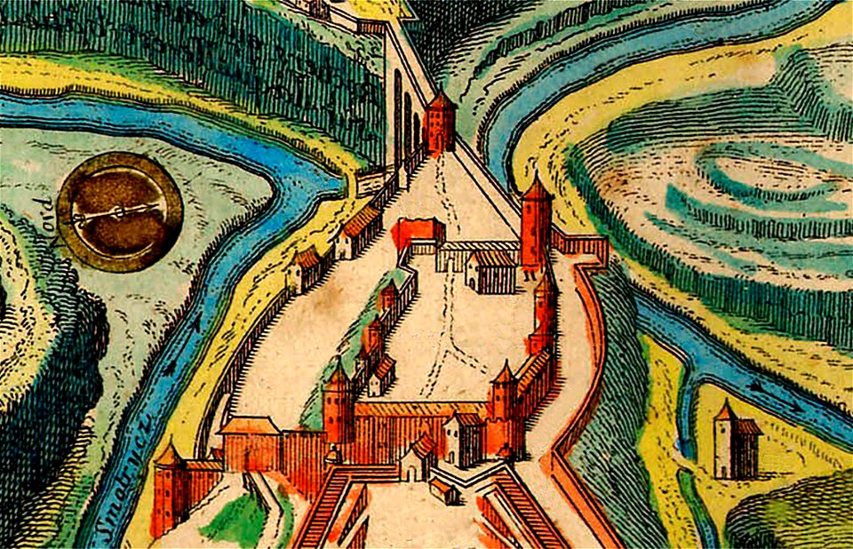
maps of kamianets-podilskyi
nicolas de fer
maps in the library of congress
1889 maps
maps in the library of congress
old maps of pennsylvania
maps in the library of congress
old maps of pennsylvania
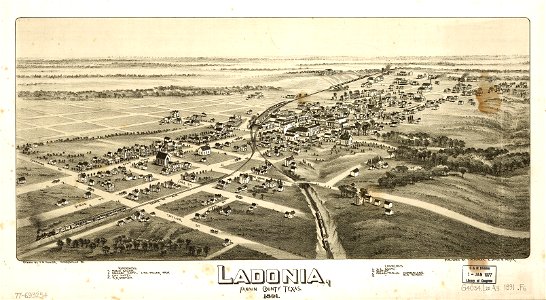
old maps of texas
1891 map
maps in the library of congress
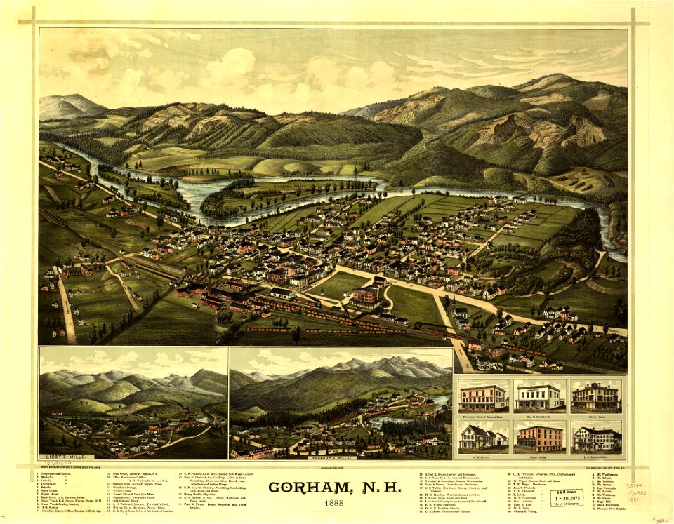
old maps of new hampshire
maps in the library of congress
old maps of new hampshire
maps in the library of congress
old maps of vermont
description de l'universe
1680s maps of spain
maps in the library of congress
old maps of pennsylvania
maps in the library of congress
1889 maps
old maps of massachusetts
massachusetts
maps of the west-indische compagnie
1770
maps of the west-indische compagnie
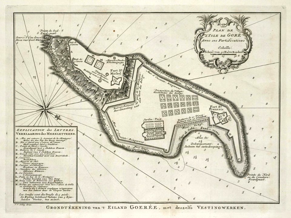
old maps of gorée
maps by abraham ortelius
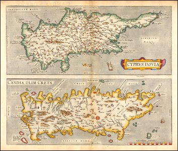
old maps of crete
maps in the library of congress
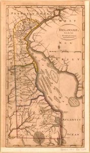
old maps of delaware
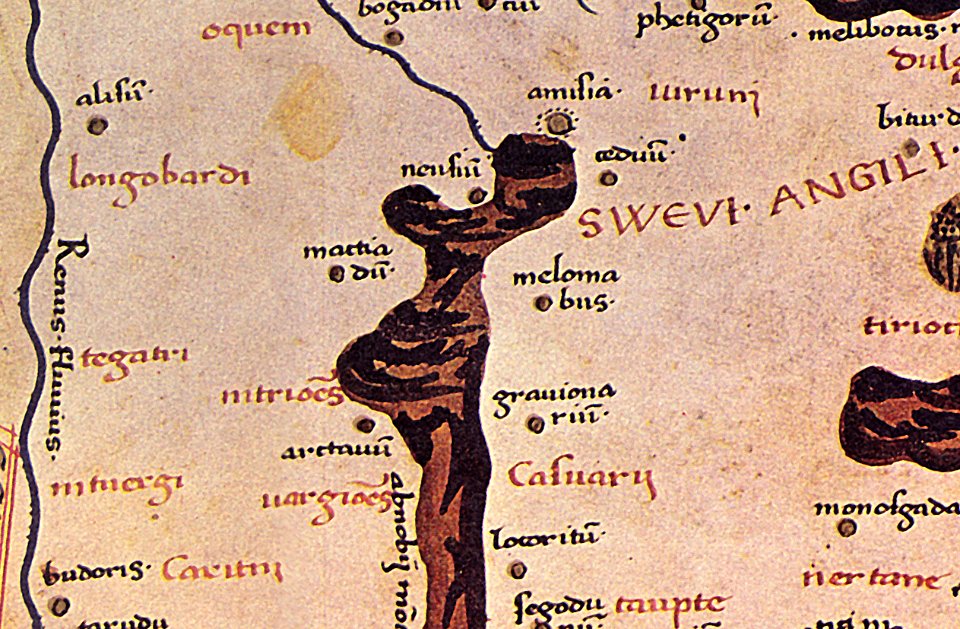
maps of germania magna
details of old maps
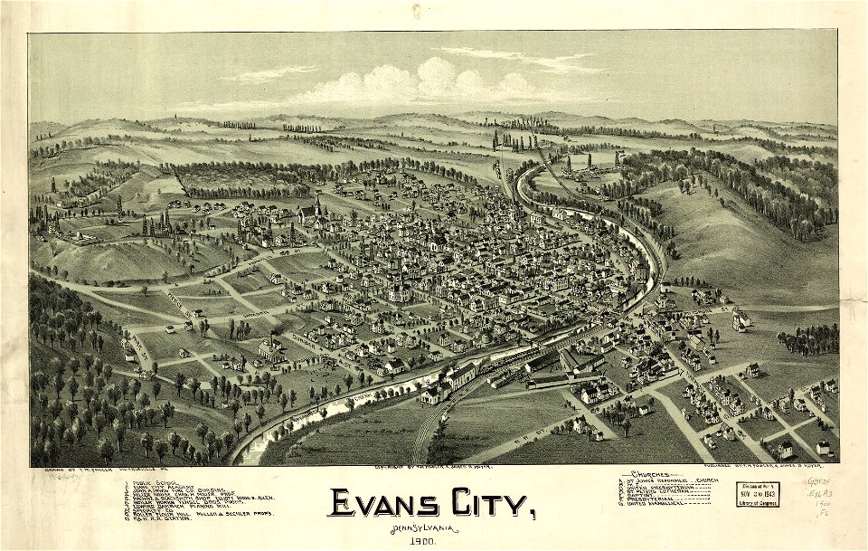
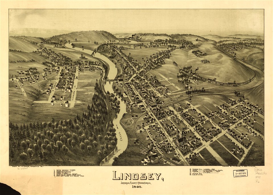
maps in the library of congress
old maps of pennsylvania
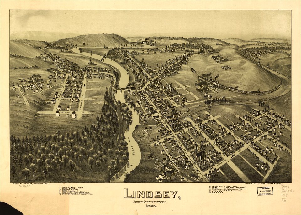
maps in the library of congress
old maps of new hampshire
maps in the library of congress
old maps of new hampshire
maps in the library of congress
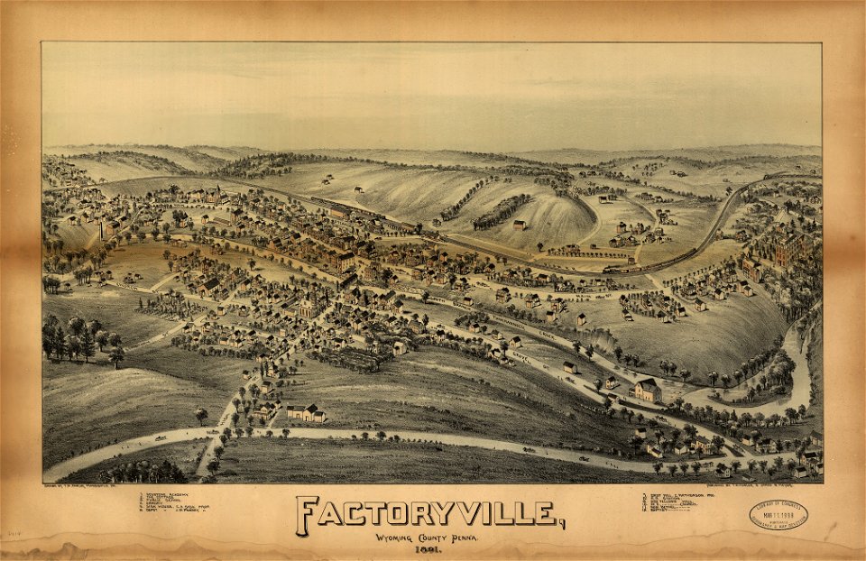
old maps of pennsylvania
maps in the library of congress
1891 map
maps in the library of congress
1891 map
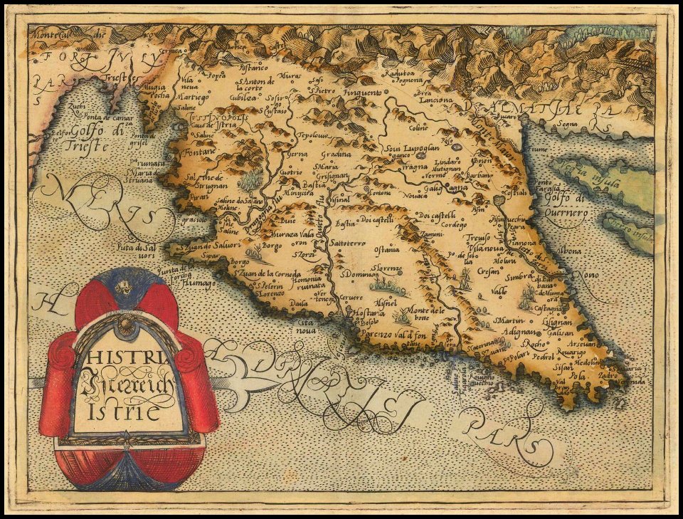
old maps of istria
1579 maps
1590s maps of the world
giuseppe rosaccio
maps in the library of congress
old maps of pennsylvania
maps in the library of congress
old maps of pennsylvania
old maps of texas
1891 map
maps in the library of congress
old maps of massachusetts
maps in the library of congress
1882 maps
maps in the library of congress
old maps of pennsylvania
maps in the library of congress
old maps of pennsylvania
maps in the library of congress
old maps of south carolina
maps in the library of congress
old maps of south carolina
maps in the library of congress
old maps of connecticut
maps in the library of congress
old maps of pennsylvania
maps by willem and johannes blaeu
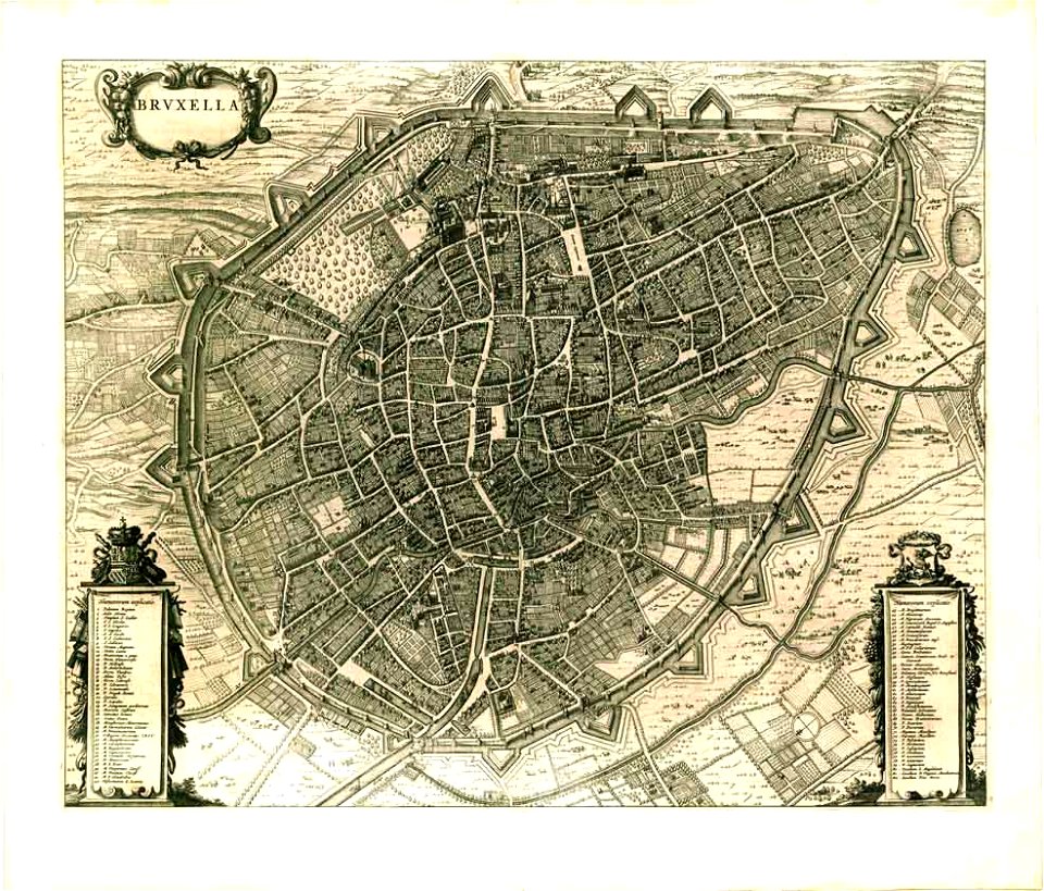
old maps of brussels
maps in the library of congress
old maps of pennsylvania
old maps of luxembourg city
maps by matthäus seutter
maps in the library of congress
old maps of new york (state)
maps in the library of congress
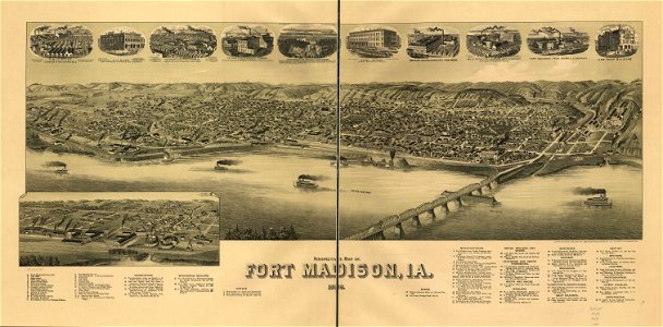
1889 maps of iowa
maps in the library of congress
1894 maps
maps in the library of congress
1894 maps
maps in the library of congress
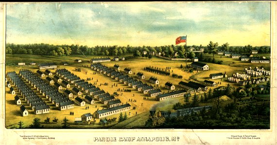
old maps of maryland
maps in the library of congress
old maps of pennsylvania
maps in the library of congress
old maps of pennsylvania
maps in the library of congress
old maps of new hampshire
maps in the library of congress
1889 maps
maps in the library of congress
1882 maps
charts and maps of the royal museums greenwich
maps by oliva family
charts and maps of the royal museums greenwich
maps by oliva family
society for the diffusion of useful knowledge (great britain)
1839 maps
society for the diffusion of useful knowledge (great britain)
1840 maps
society for the diffusion of useful knowledge (great britain)
old maps of marseille
17th-century maps of slovenia
maps by christoph weigel
maps in the library of congress
1889 maps of iowa
schloss rosenstein
rosensteinpark
maps in the library of congress
old maps of pennsylvania
maps in the library of congress
old maps of pennsylvania
old maps of texas
1891 map
maps in the library of congress
old maps of maryland
maps in the library of congress
old maps of maryland
charts and maps of the royal museums greenwich
old maps of the moon
james cook (maps relating to)
old maps of newfoundland
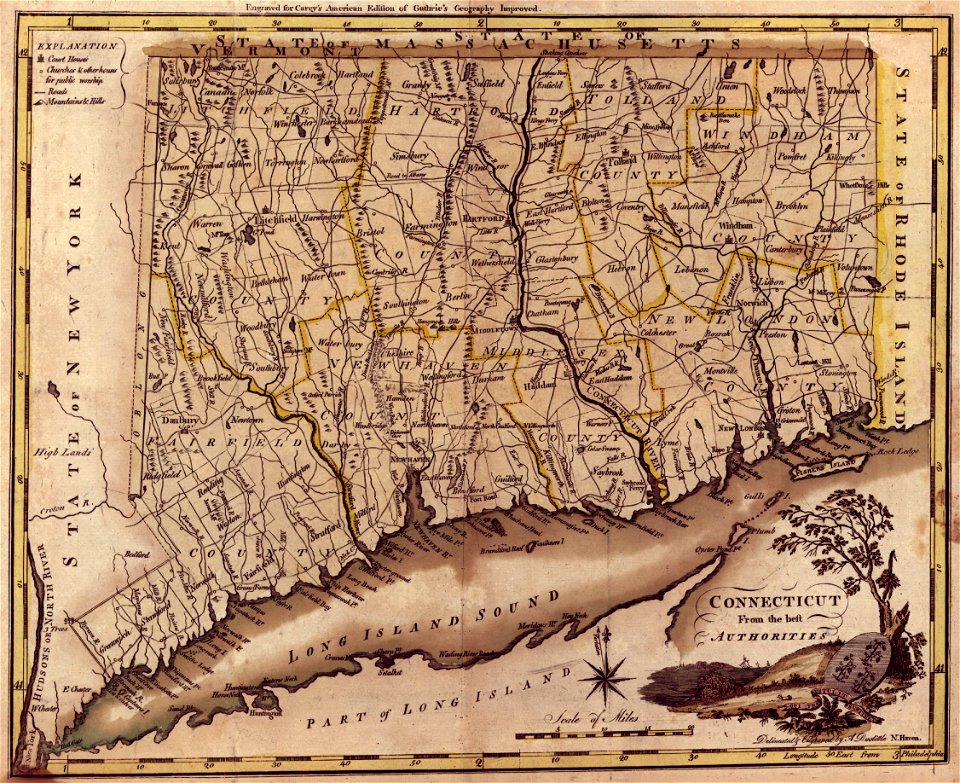
old maps of connecticut
1894 maps
old maps of connecticut
1894 maps
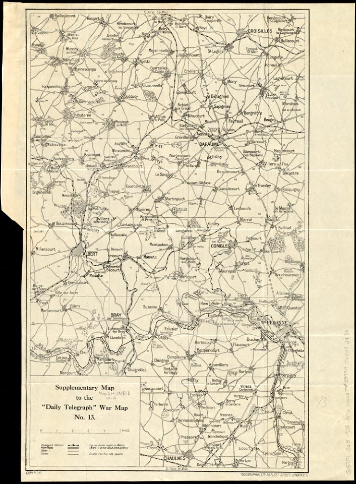
maps of world war i by the daily telegraph
maps in the library of congress
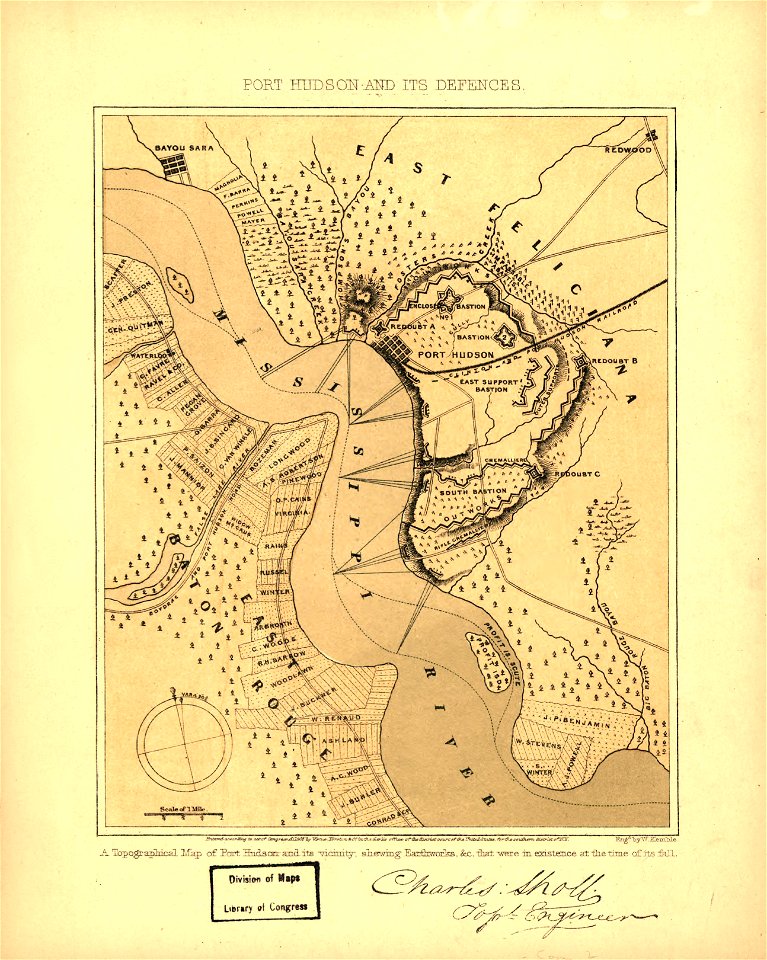
old maps of louisiana
maps in the library of congress
old maps of louisiana
charts and maps of the royal museums greenwich
1682 maps
maps in the library of congress
old maps of pennsylvania
maps in the library of congress
old maps of pennsylvania
maps in the library of congress
old maps of pennsylvania
maps in the library of congress
old maps of pennsylvania
old maps of texas
1891 map
4201 - 4300 of 357,549
Next page
/ 3576