Log in
All resources
Create a design
Tools
357,549 Free Images of Maps
maps in the library of congress
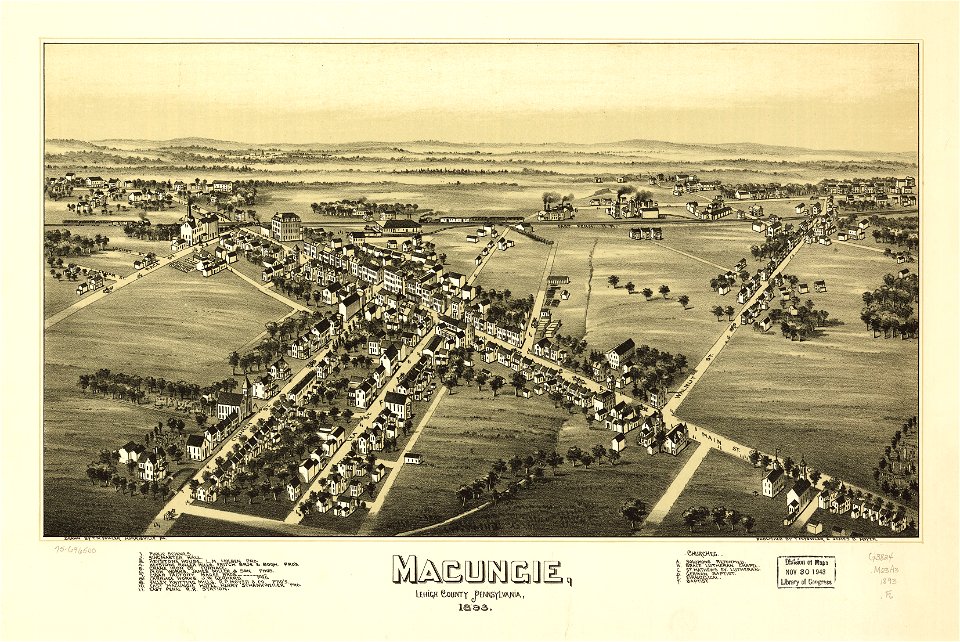
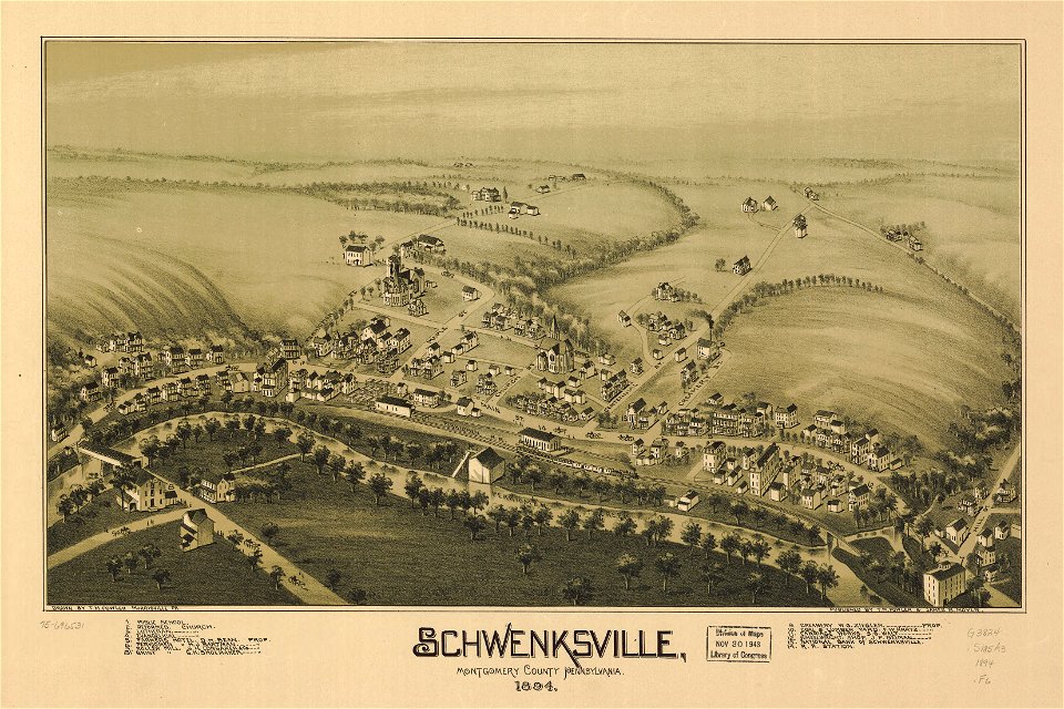
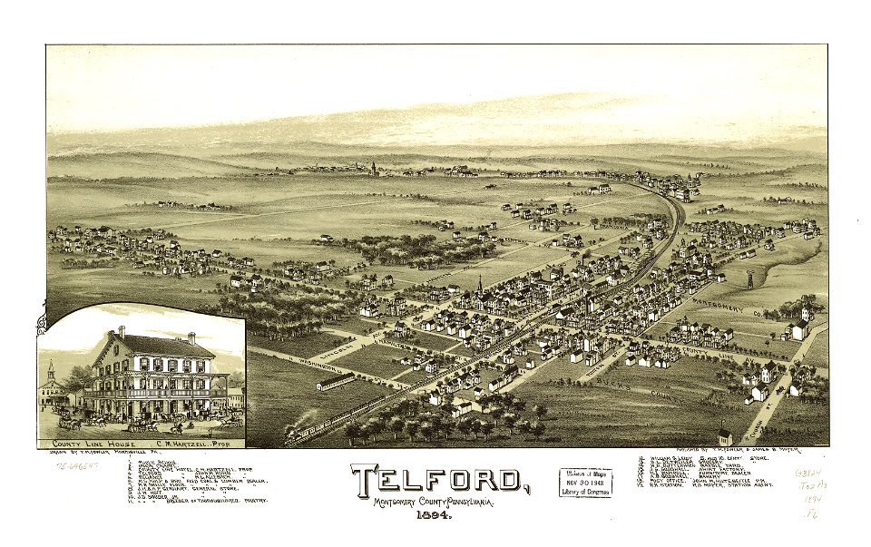
old maps of pennsylvania
1894 maps
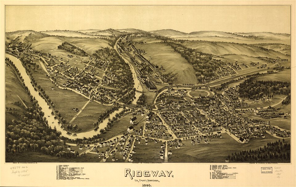
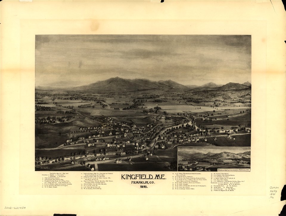
1895 maps
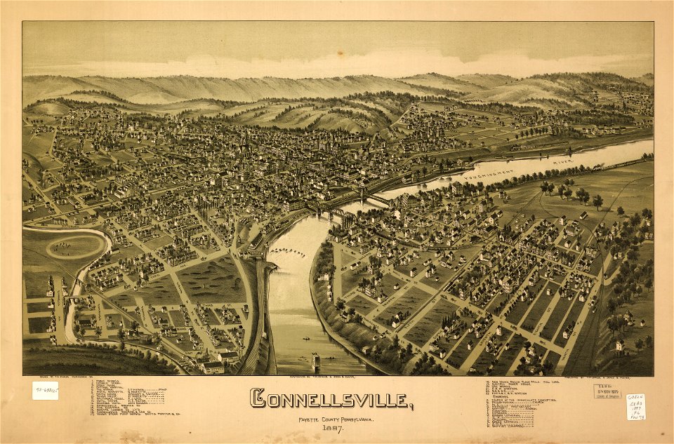
1897 maps
maps by joseph hutchins colton
1896 maps
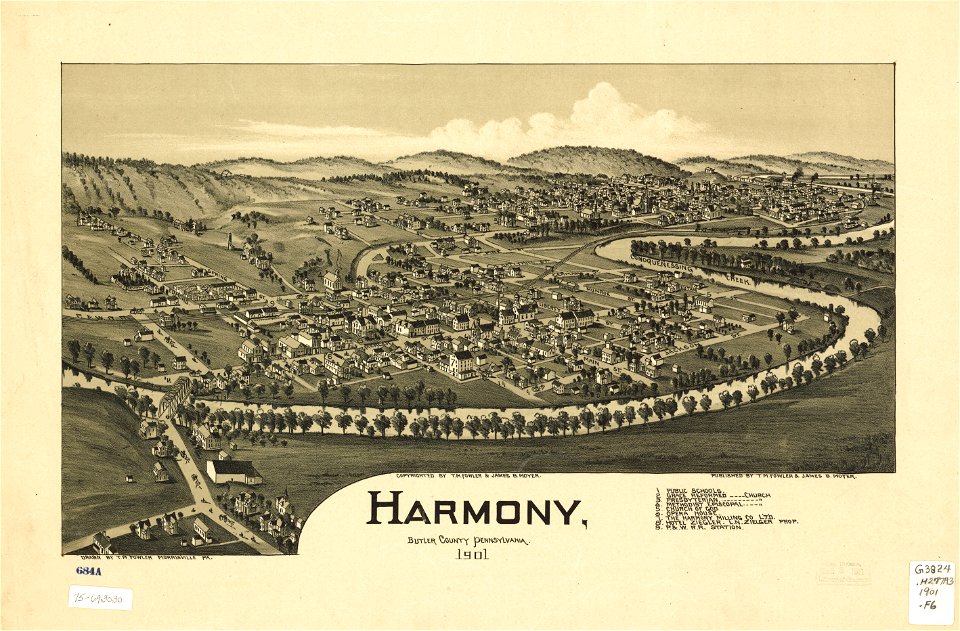
1901 maps
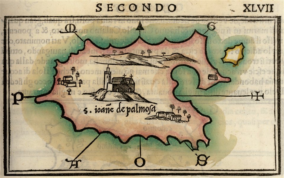
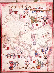
maps by benedetto bordon
isolario di benedetto bordone (1547)
maps in the library of congress
1867 maps
maps in the library of congress
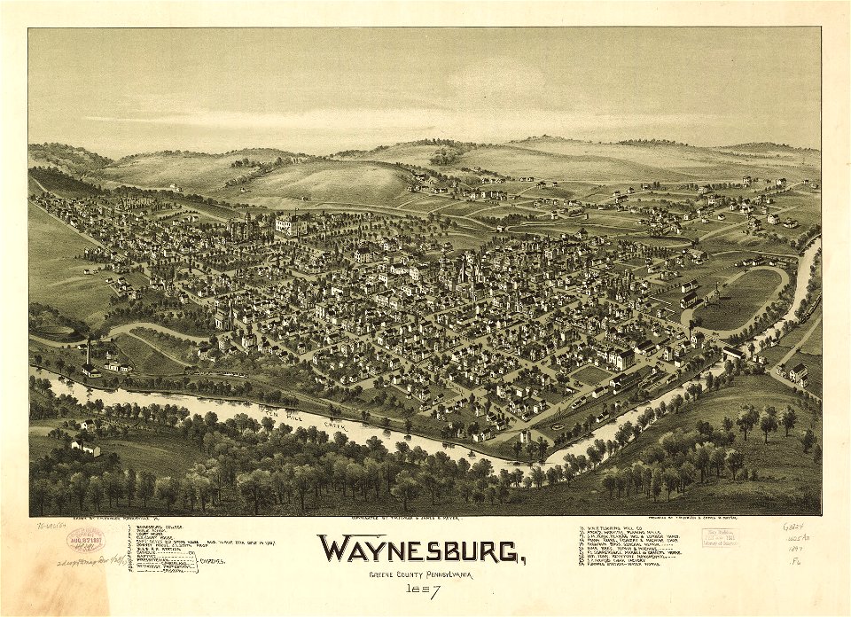
old maps of pennsylvania
isolario di benedetto bordone (1547)
maps by benedetto bordon
isolario di benedetto bordone (1547)
maps by benedetto bordon
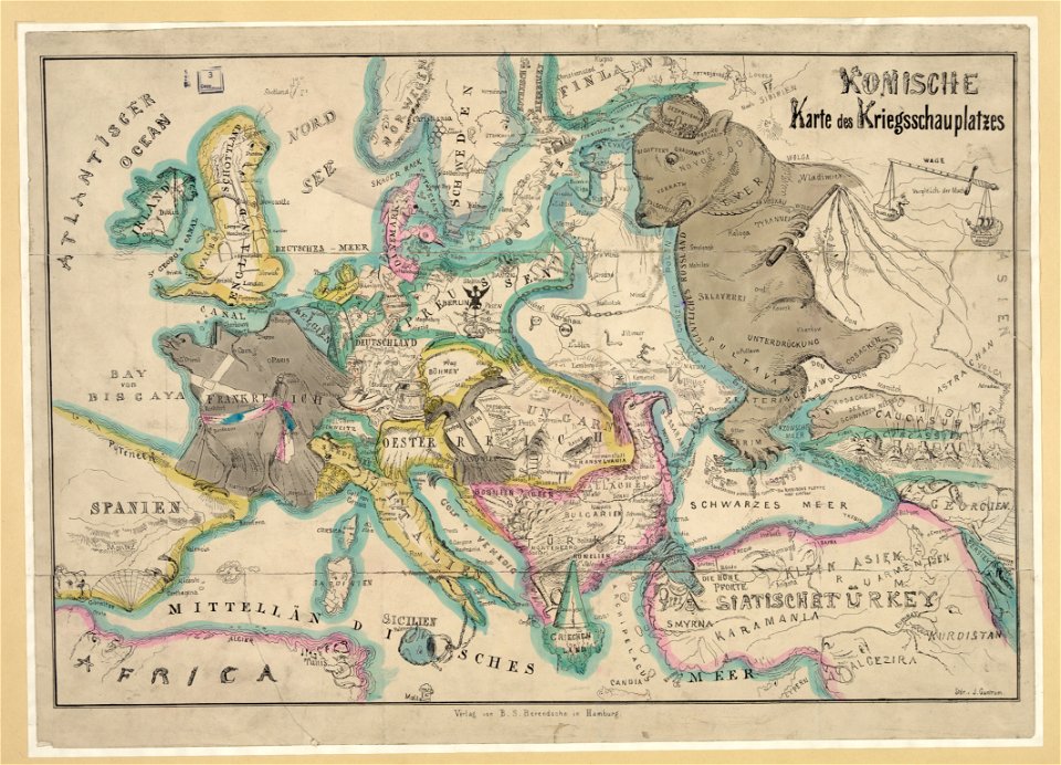
19th-century satirical maps
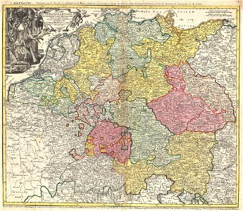
german-language maps
maps in the library of congress
old maps of pennsylvania
maps in the library of congress
1886 maps
johann george schreiber
old maps of saxony
maps in the library of congress
old maps of pennsylvania
maps in the library of congress
old maps of pennsylvania
maps in the library of congress
1894 maps
charts and maps of the royal museums greenwich
maps by oliva family
maps by joseph hutchins colton
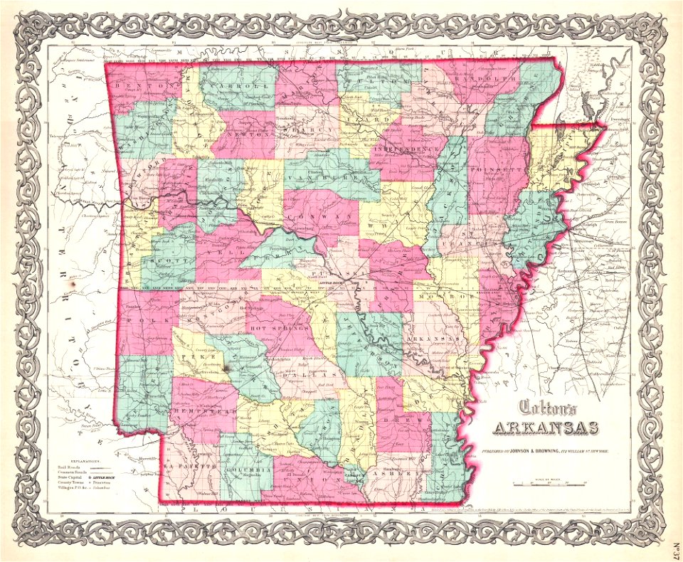
1855 maps of arkansas
maps in the library of congress
old maps of pennsylvania
maps in the library of congress
old maps of pennsylvania
maps in the library of congress
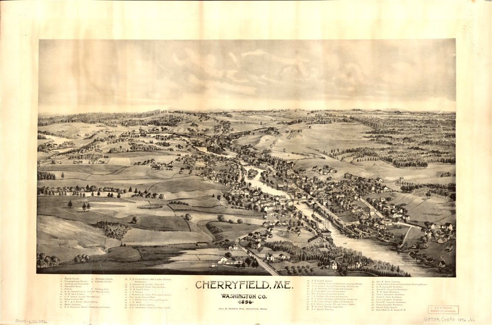
old maps of maine
16th-century maps of slovenia
maps by wolfgang lazius
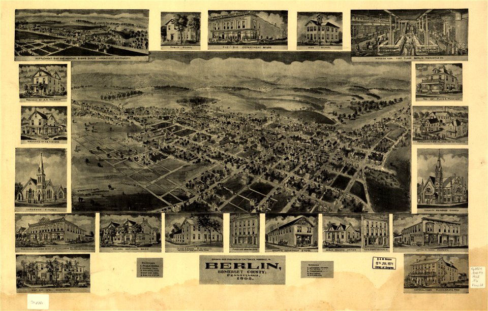
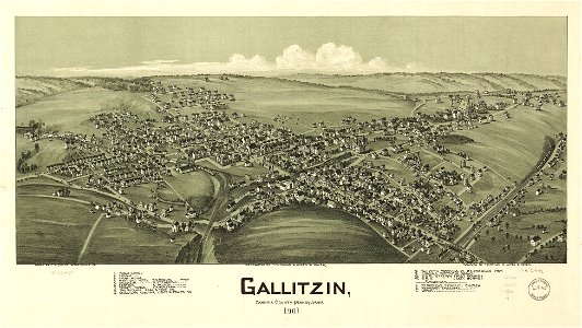
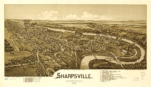
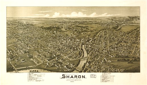
bird's eye view maps of pennsylvania
lithographed maps
maps in the library of congress
old maps of pennsylvania
maps in the library of congress
old maps of pennsylvania
maps in the library of congress
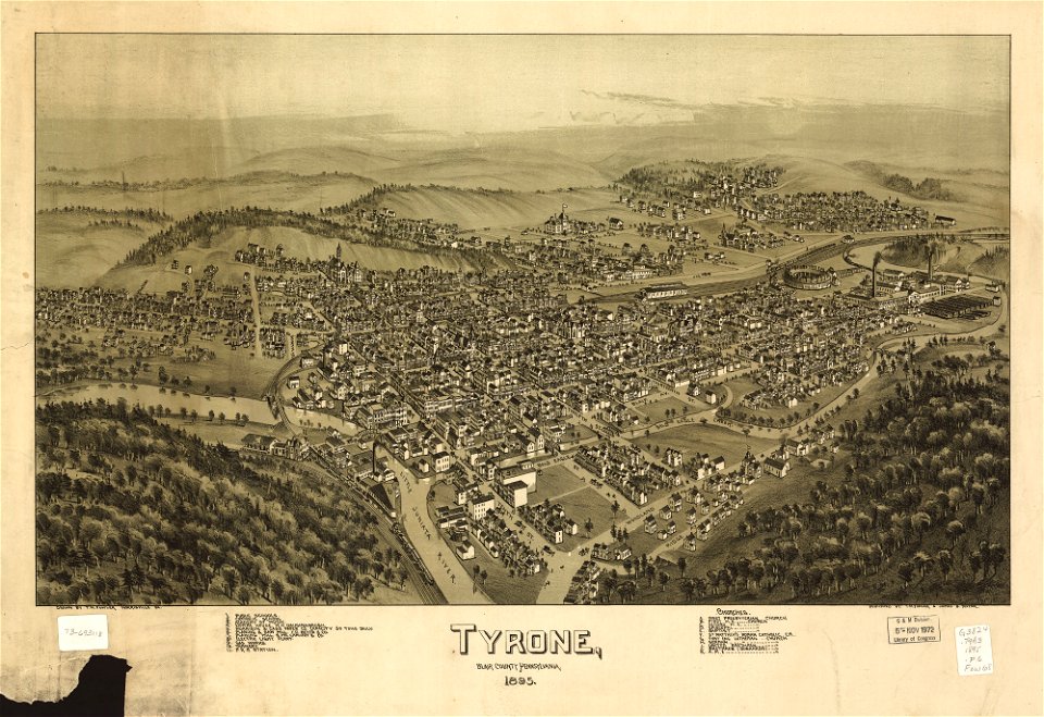
old maps of pennsylvania
maps in the library of congress
old maps of pennsylvania
old maps of south holland
old maps of utrecht
maps in the library of congress
old maps of pennsylvania
maps in the library of congress
1894 maps
maps in the library of congress
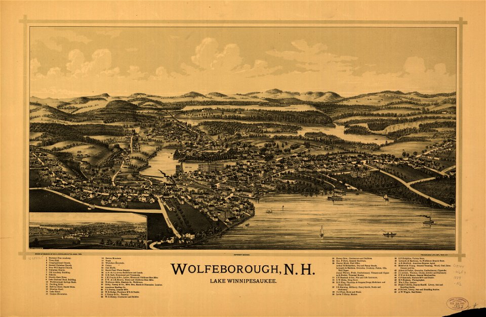
old maps of new hampshire
maps in the library of congress
1639 maps
maps in the library of congress
old maps of pennsylvania
maps in the library of congress
1894 maps
maps by joseph hutchins colton
1855 maps of new mexico
david rumsey historical map collection
german-language maps
maps showing 19th-century history
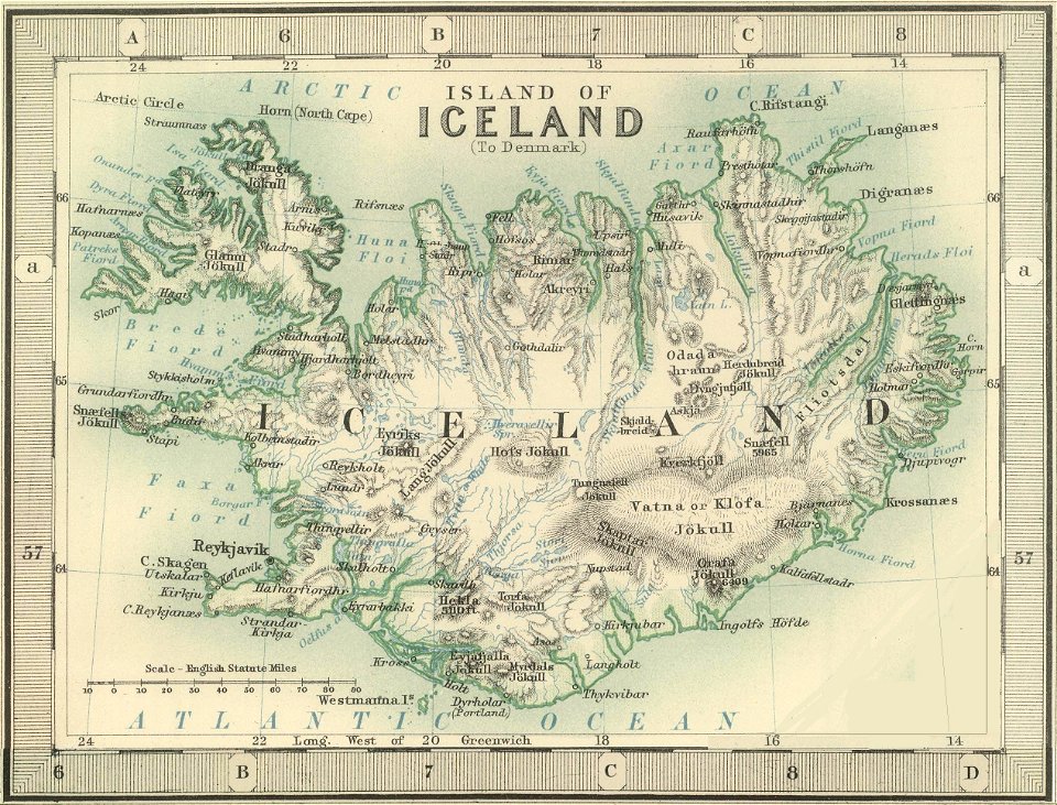
old maps of iceland
dutch 17th-century prints in the rijksmuseum amsterdam
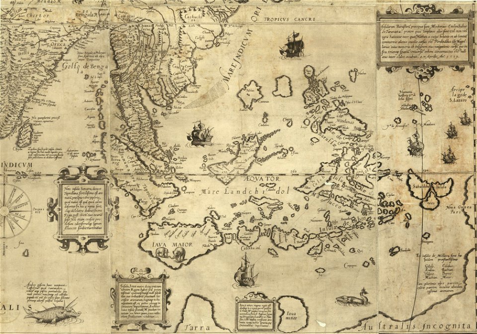
old maps of the philippines
hand-drawn maps and views of world war i battlefields by h.m.
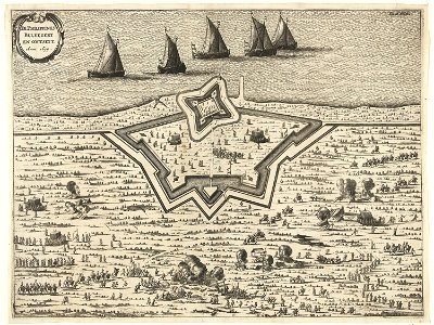
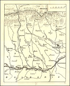
old maps of wallachia
giovanni marco pitteri
italian-language maps
johann baptist homann
latin-language maps
johannes ratelband
1747 maps
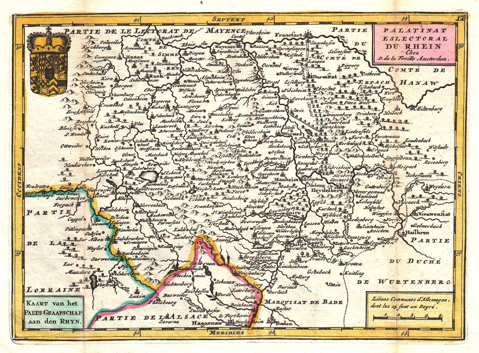
old maps of rhineland-palatinate
johannes ratelband
landscape
maps
illustration
maps
countries
maps
continent
earth
continent
earth
maps in the library of congress
old maps of pennsylvania
old maps of asia
ships on maps
maps in the library of congress
old maps of pennsylvania
maps in the library of congress
old maps of pennsylvania
maps by joseph hutchins colton
old maps of maine
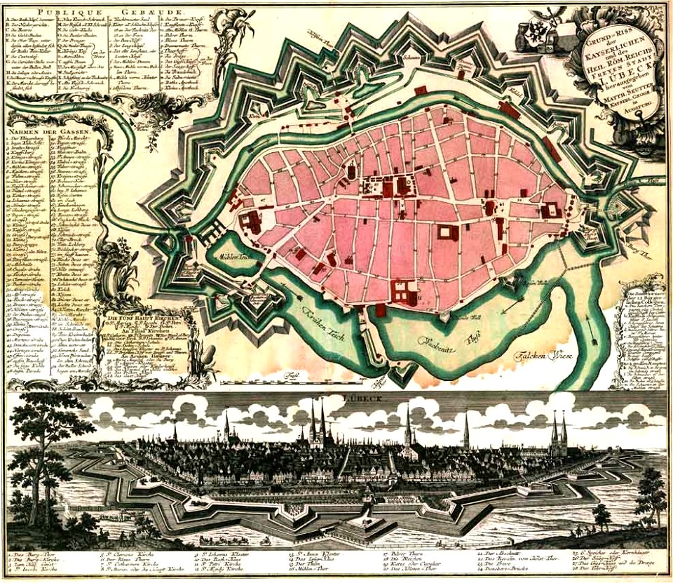
maps by matthäus seutter
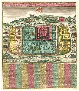
old maps of jerusalem
maps in the library of congress
old maps of pennsylvania
maps in the library of congress
old maps of pennsylvania
maps in the library of congress
old maps of pennsylvania
maps in the library of congress
old maps of pennsylvania
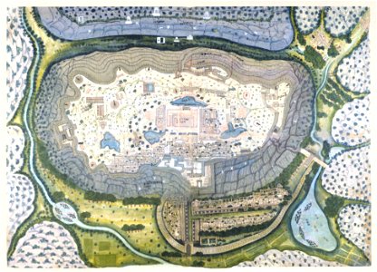
hill of tara
1879 maps
maps by joseph hutchins colton
1855 maps of arkansas
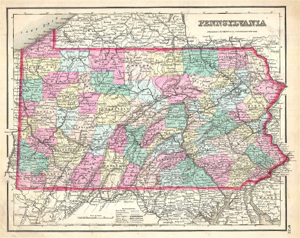
maps by joseph hutchins colton
1855 maps of pennsylvania
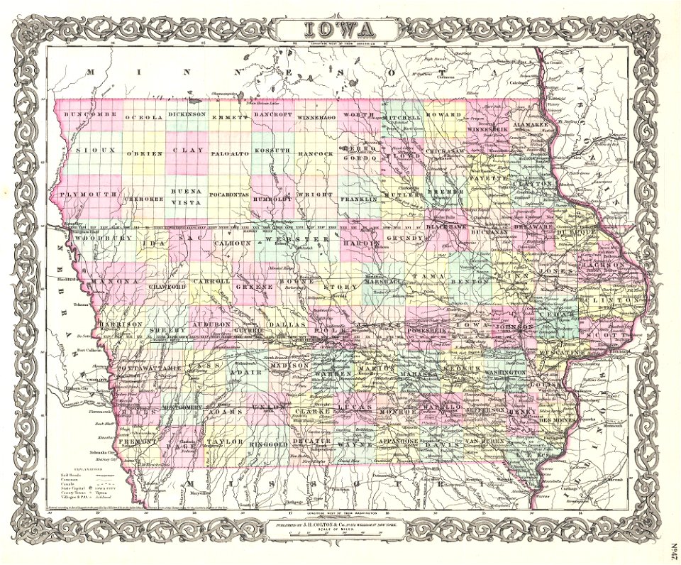
maps by joseph hutchins colton
1855 maps of iowa
maps by joseph hutchins colton
1857 maps of pennsylvania
maps in the library of congress
old maps of pennsylvania
maps in the library of congress
old maps of pennsylvania
maps in the library of congress
old maps of maine
maps in the library of congress
old maps of pennsylvania
maps by willem and johannes blaeu
old maps of rotterdam
maps in the library of congress
old maps of pennsylvania
maps in the library of congress
old maps of pennsylvania
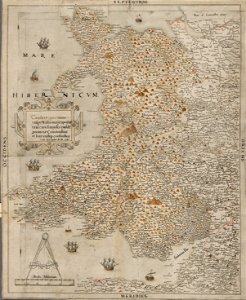
maps in the national library of wales
old maps of whole wales (alone)
maps in the library of congress
old maps of pennsylvania
maps in the library of congress
old maps of pennsylvania
maps in the library of congress
old maps of pennsylvania
maps in the library of congress
1894 maps
maps in the library of congress
old maps of pennsylvania
maps in the library of congress
1896 maps
maps in the library of congress
1894 maps
maps in the library of congress
1894 maps
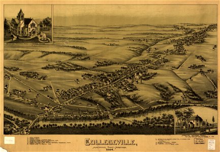
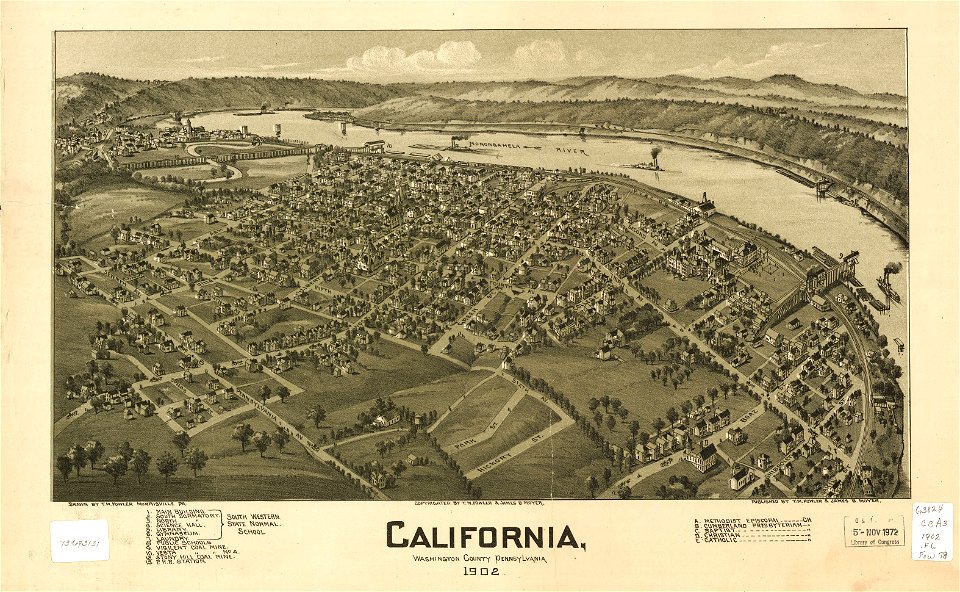
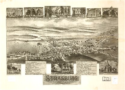
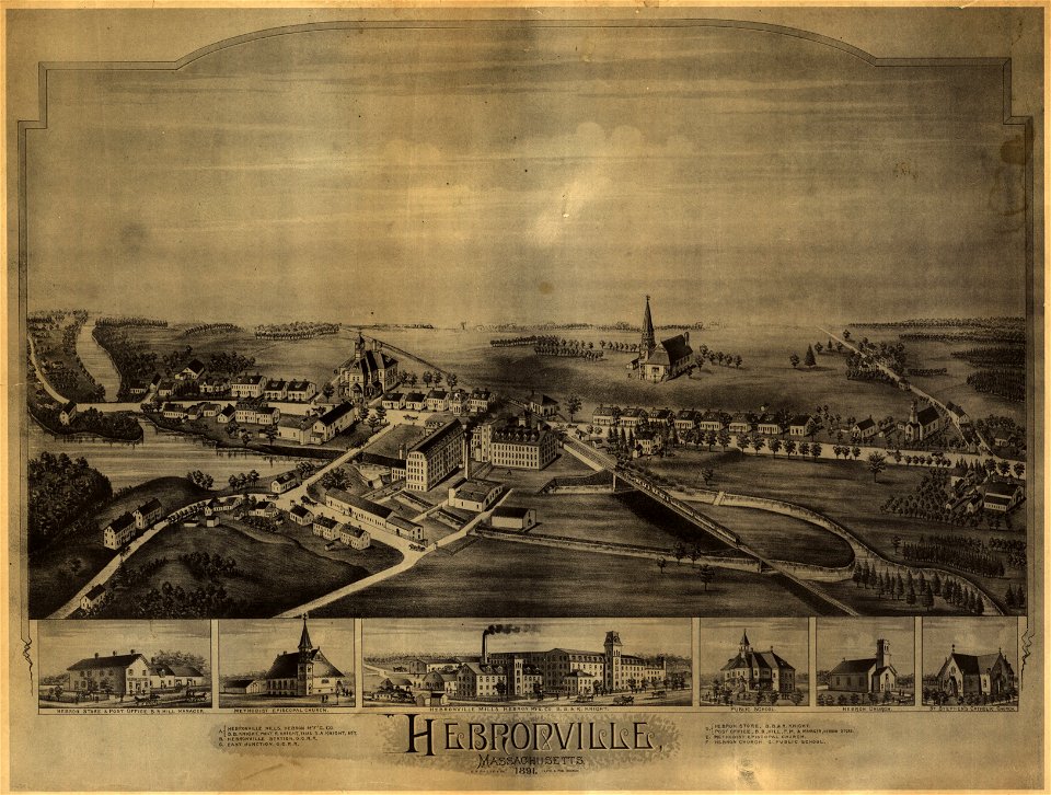
o. h. bailey
1891 map
maps in the library of congress
old maps of new hampshire
maps in the library of congress
old maps of pennsylvania
maps in the library of congress
old maps of pennsylvania
maps in the library of congress
old maps of pennsylvania
old maps of maine
1894 maps
old maps of maine
1894 maps
maps in the library of congress
1889 maps
maps in the library of congress
old maps of pennsylvania
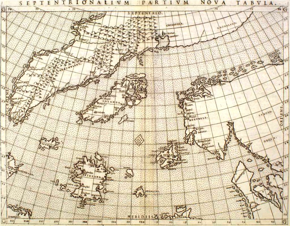
maps made in the 16th century
1551
maps in the library of congress
old maps of pennsylvania
maps in the library of congress
old maps of pennsylvania
maps in the library of congress
old maps of maine
maps in the library of congress
old maps of pennsylvania
maps by matthäus seutter
lübeck-altstadt
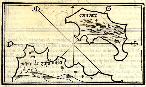
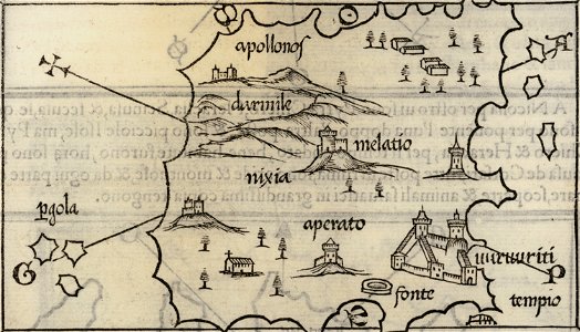
isolario di benedetto bordone (1547)
maps by benedetto bordon
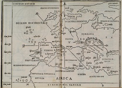
17th-century maps of italy
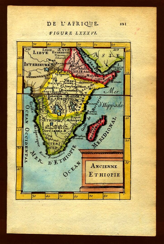
description de l'universe
17th-century maps of ethiopia
description de l'universe
isolario di benedetto bordone (1547)
maps by benedetto bordon
maps in the library of congress
old maps of pennsylvania
maps in the library of congress
1894 maps
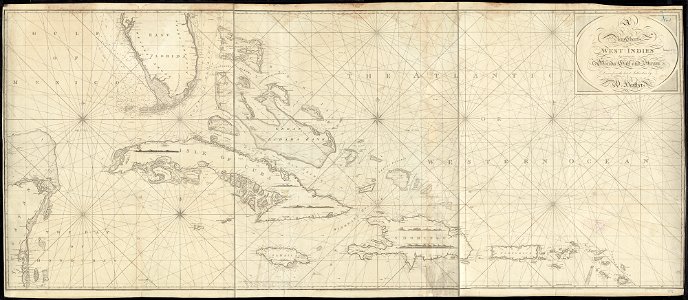
1790s maps of the caribbean
1797 maps
isolario di benedetto bordone (1547)
maps by benedetto bordon
isolario di benedetto bordone (1547)
maps by benedetto bordon
maps by jodocus hondius
prester john
maps in the library of congress
old maps of virginia
4501 - 4600 of 357,549
Next page
/ 3576