Log in
All resources
Create a design
Tools
357,549 Free Images of Maps
maps in the library of congress
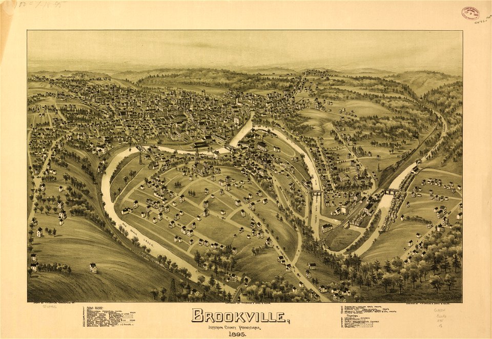
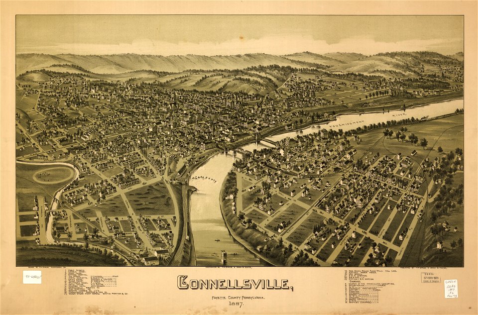
old maps of pennsylvania
pictorial maps
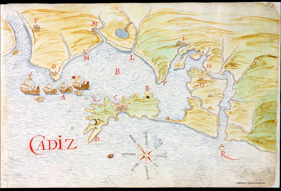
old manuscript maps
spanish-language maps
1632 maps
en especial del descubrimiento del reino de la california
descripciones geográphicas e hydrográphicas de muchas tierras y mares del norte y sur en las indias
maps by nicolás de cardona
watercolor maps
maps by joseph hutchins colton
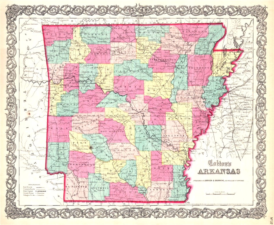
1855 maps of arkansas
maps in the library of congress
old maps of pennsylvania
maps in the library of congress
old maps of pennsylvania
maps in the library of congress
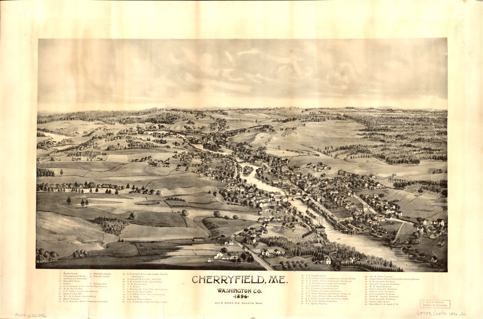
old maps of maine
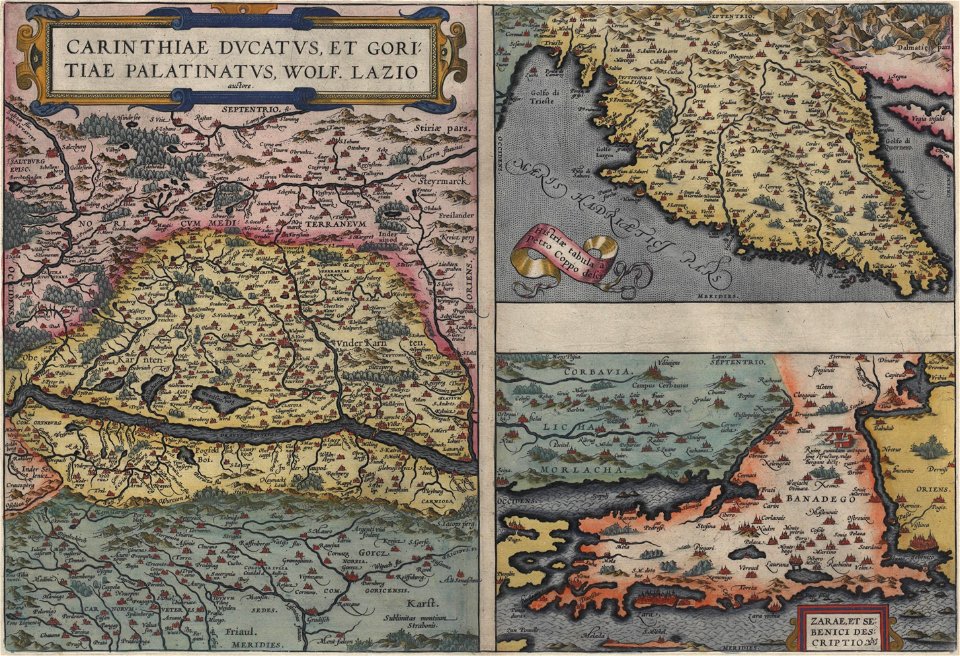
16th-century maps of slovenia
maps by wolfgang lazius
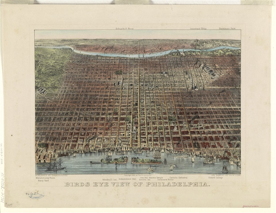
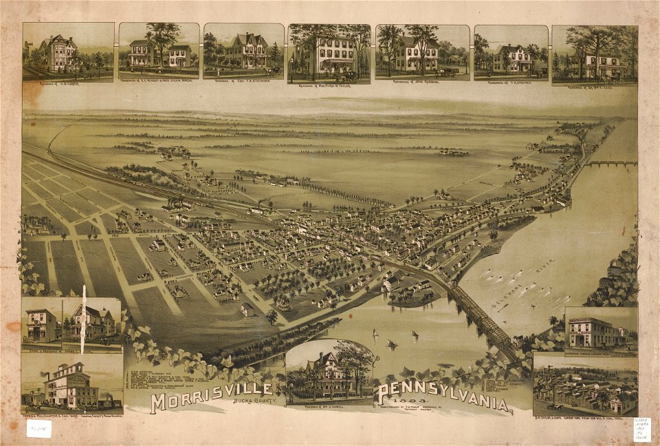
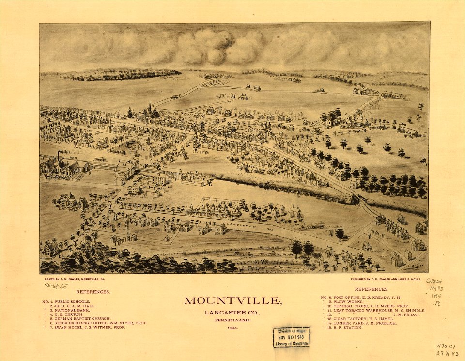
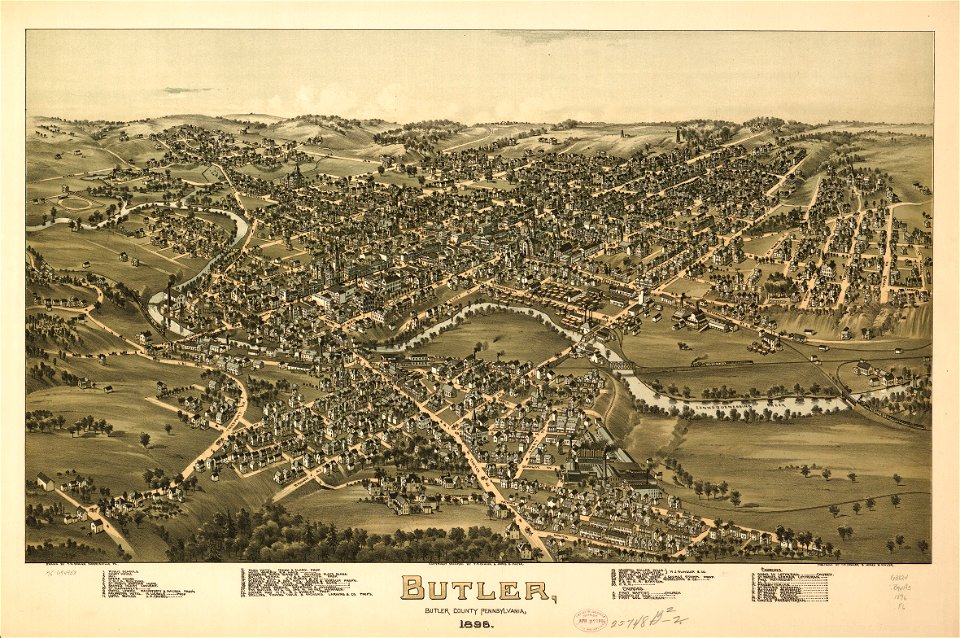
bird's eye view maps of pennsylvania
lithographed maps
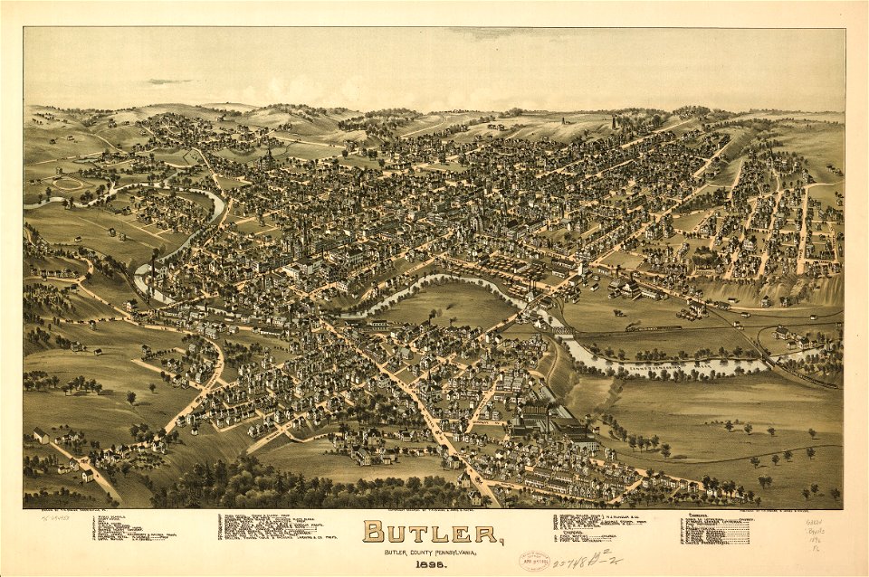
maps in the library of congress
old maps of pennsylvania
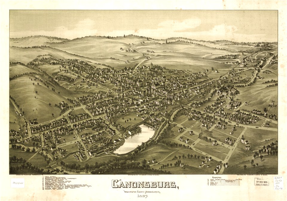
maps in the library of congress
old maps of pennsylvania
maps in the library of congress
old maps of pennsylvania
maps in the library of congress
old maps of pennsylvania
old maps of south holland
old maps of utrecht
maps in the library of congress
old maps of pennsylvania
maps in the library of congress
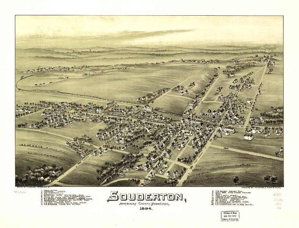
1894 maps
maps in the library of congress
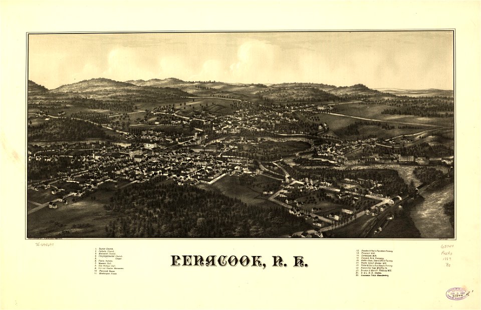
old maps of new hampshire
maps in the library of congress
1639 maps
maps in the library of congress
old maps of pennsylvania
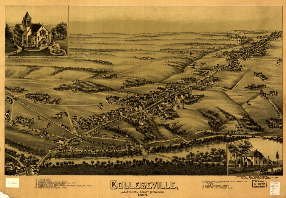
maps in the library of congress
1894 maps
pictorial maps
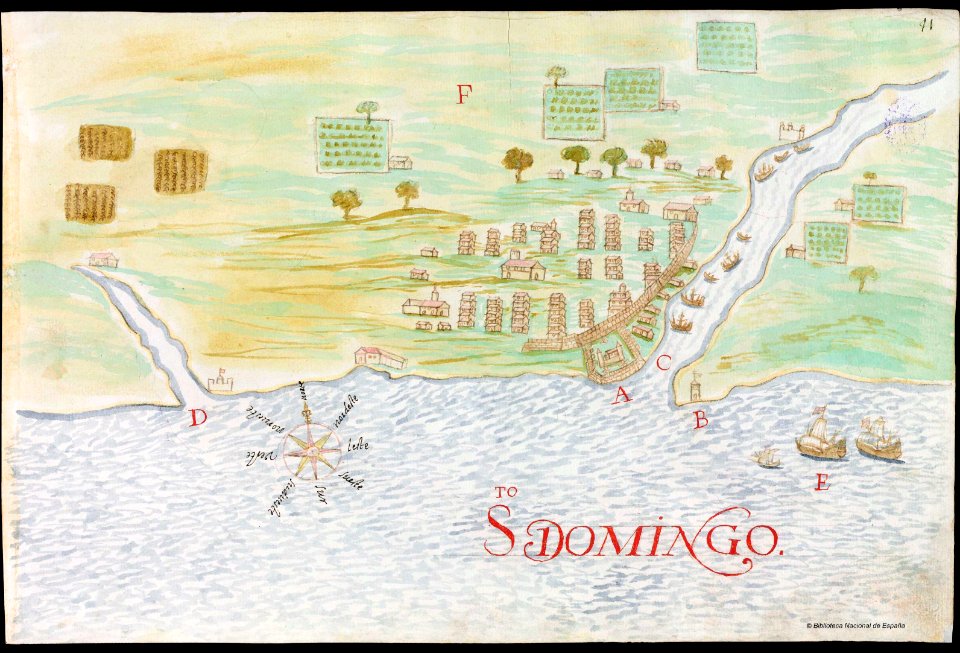
barbados
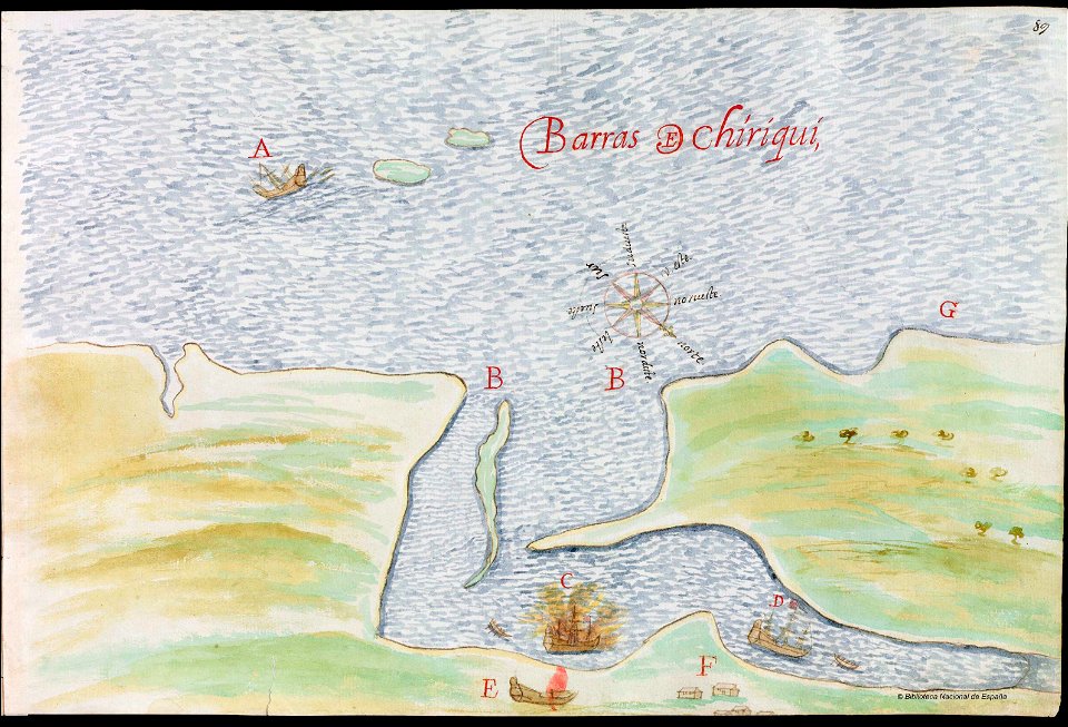
old manuscript maps
pictorial maps
countries
maps
continent
earth
continent
earth
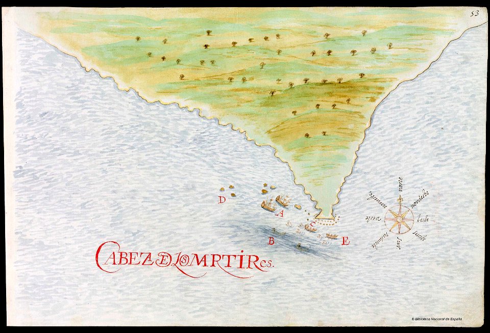
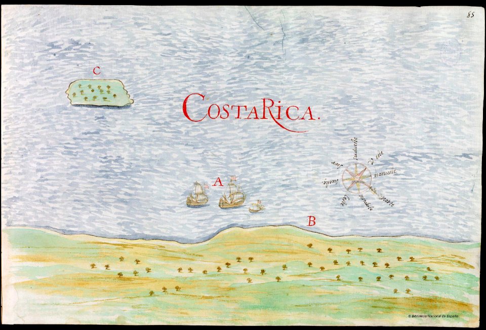
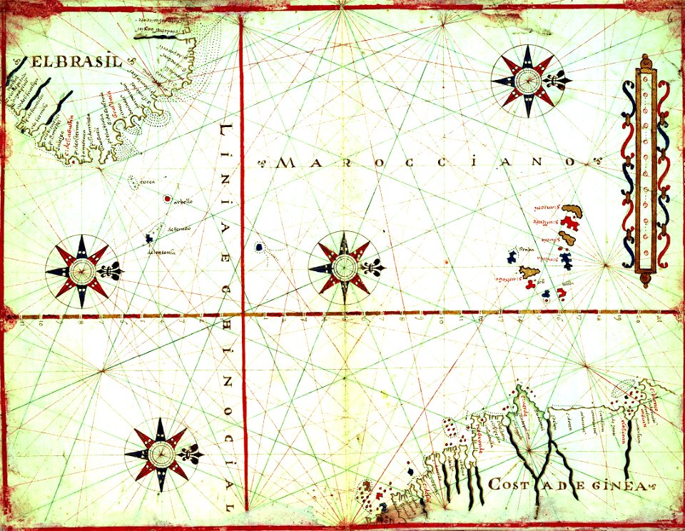
old manuscript maps
pictorial maps
old manuscript maps
pictorial maps
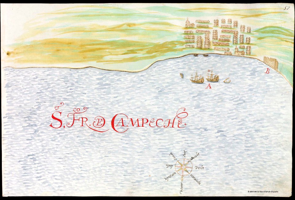
old manuscript maps
pictorial maps
old manuscript maps
pictorial maps
old manuscript maps
pictorial maps
old maps of the iberian peninsula
1700s maps of portugal
maps with cartouches
old maps of toul
fish ladders in the united states
1996 maps
maps in the library of congress
new york
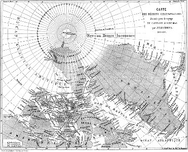
old maps of the arctic
maps in literature
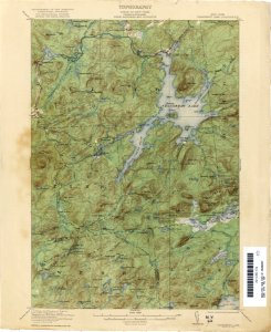
maps of the adirondack mountains
old maps of new york (state)
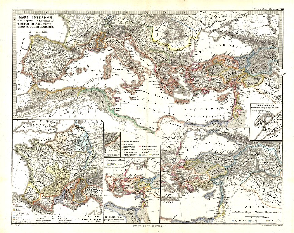
19th-century maps of the mediterranean sea
1865 maps
cambridge
new york
pictorial history of the russian war 1854-5-6 by george dodd
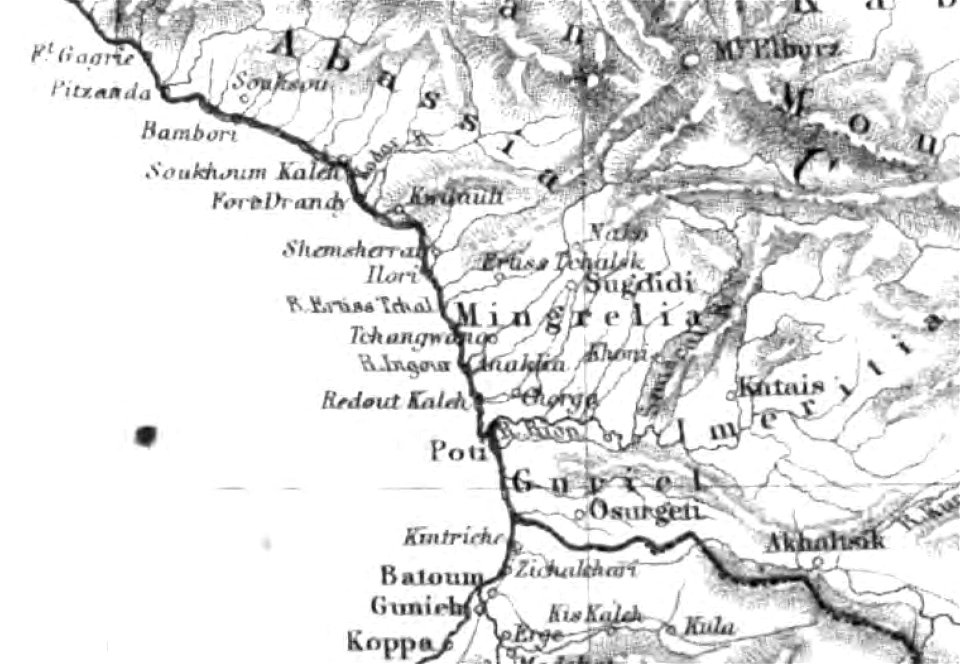
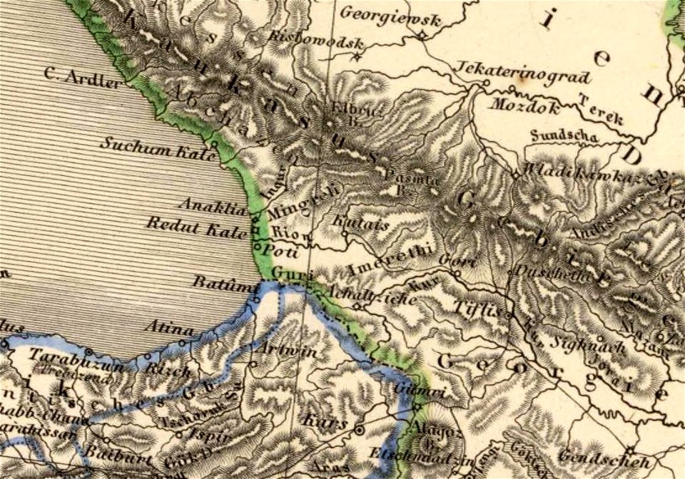
old maps of samegrelo
maps of the dutch east india company - madagascar
1635
david rumsey historical map collection
german-language maps
french-language maps
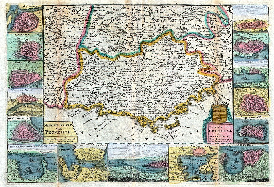
johannes ratelband
johannes ratelband
jan goeree
old maps of provence
johannes ratelband
geographic comparison diagrams
1855 maps
new york
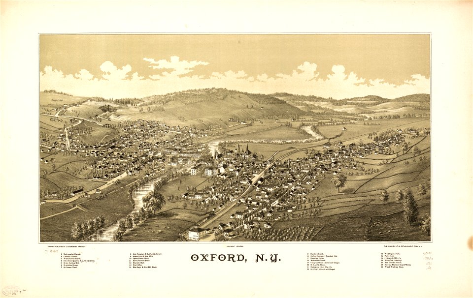
oxford
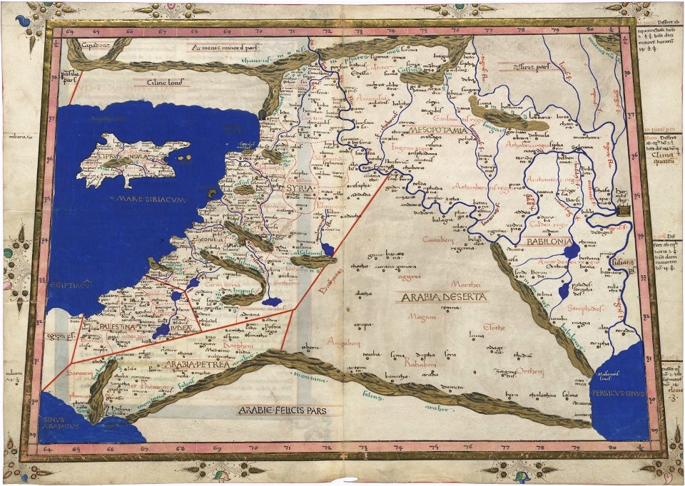
timeline of the name palestine
latin-language maps
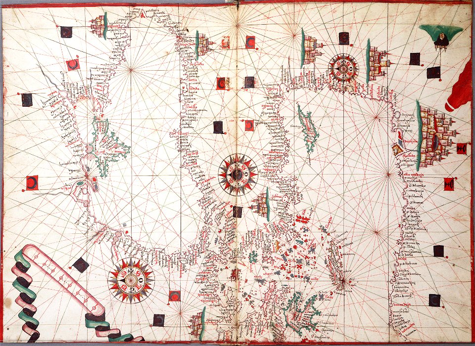
16th-century maps of the mediterranean sea
16th-century maps of the black sea
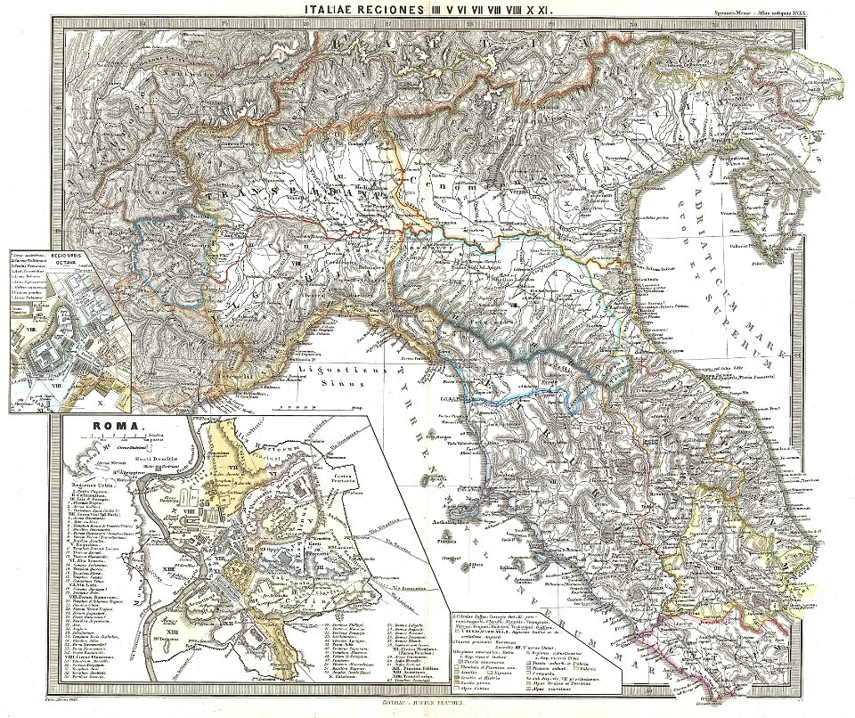
old maps of ancient rome (city)
old maps of italy
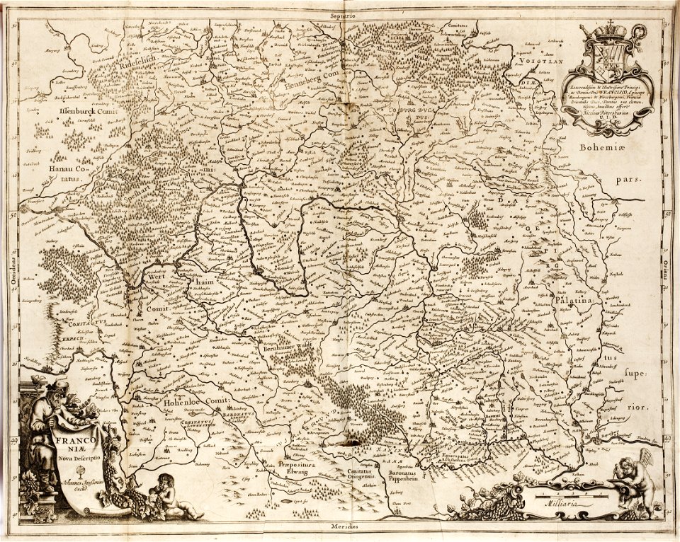
1642 maps of bavaria
franconia
david rumsey historical map collection
j. and p. knapton
david rumsey historical map collection
german-language maps
david rumsey historical map collection
german-language maps
old manuscript maps
pictorial maps
old manuscript maps
pictorial maps
old manuscript maps
pictorial maps
old manuscript maps
pictorial maps
old manuscript maps
pictorial maps
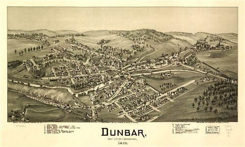
maps in the library of congress
1894 maps
charts and maps of the royal museums greenwich
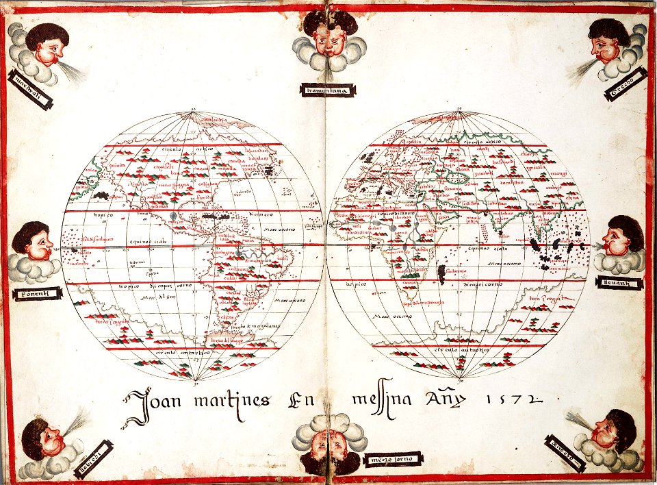
1572 maps
1740s maps of belgium
southern netherlands
maps in the library of congress
albert ruger
maps in the library of congress
old maps of virginia
1375 maps of africa
catalan atlas
maps in the library of congress
d.c.,
maps in the library of congress
1867 maps
old maps of vermont
1891 map
maps in the library of congress
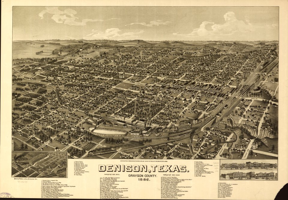
old maps of texas
maps in the library of congress
old maps of texas
maps in the national library of australia
matthäus merian
maps in the library of congress
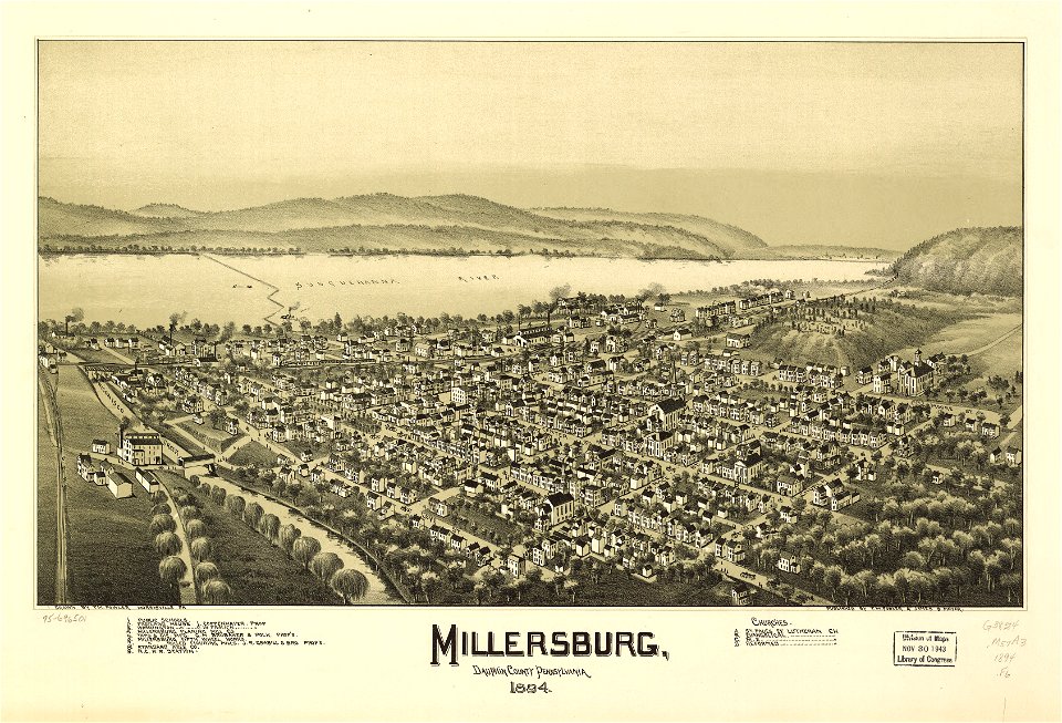
old maps of pennsylvania
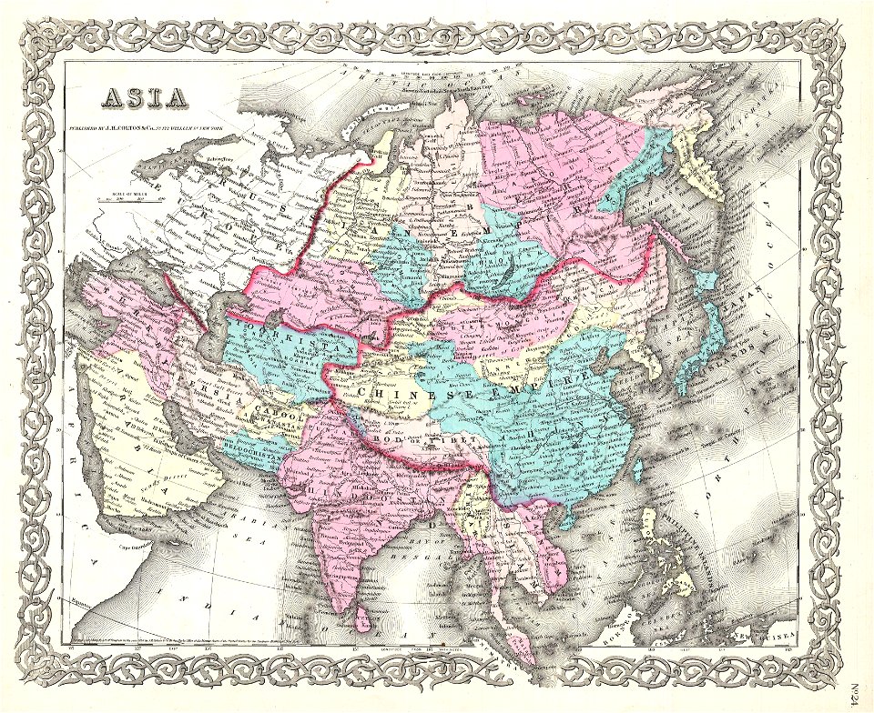
maps by joseph hutchins colton
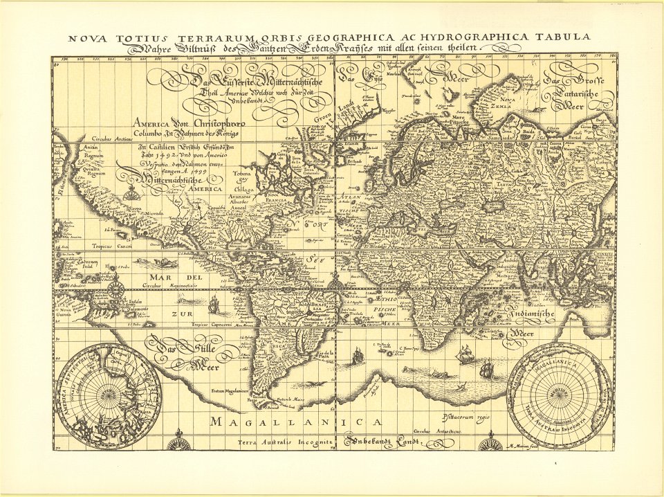
1855 maps of asia
charts and maps of the royal museums greenwich
maps by oliva family
maps in the library of congress
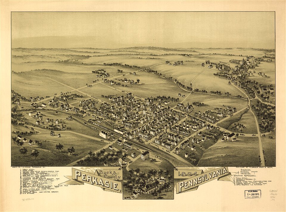
1894 maps
maps in the library of congress
old maps of pennsylvania
maps in the library of congress
old maps of pennsylvania
maps in the library of congress
old maps of new hampshire
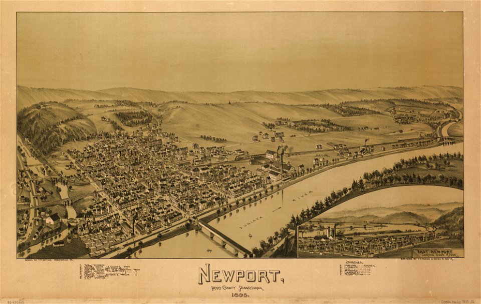
maps in the library of congress
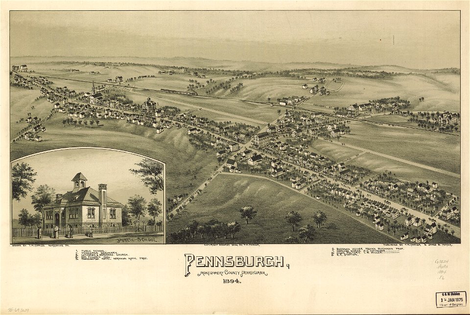
1894 maps
maps in the library of congress
1894 maps
maps in the library of congress
old maps of pennsylvania
maps in the library of congress
old maps of pennsylvania
images from bristol past and present (1882)
millerd's map of bristol
18th-century maps of stockholm
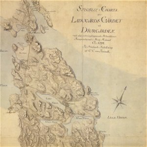
maps of gärdet
maps in the library of congress
1886 maps
maps in the library of congress
old maps of connecticut
maps in the library of congress
old maps of connecticut
maps in the library of congress
old maps of pennsylvania
maps in the library of congress
old maps of maine
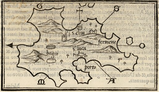
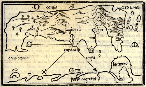
isolario di benedetto bordone (1547)
maps by benedetto bordon
isolario di benedetto bordone (1547)
maps by benedetto bordon
maps in the library of congress
old maps of pennsylvania
maps by willem and johannes blaeu
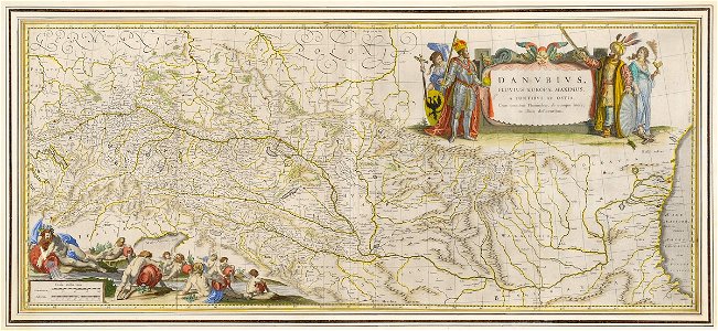
old maps of the danube
description de l'universe
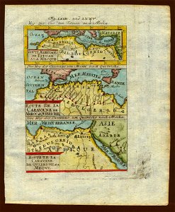
old maps of saudi arabia
old maps of regions of france
baldwin iii
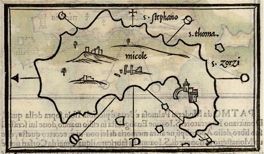
isolario di benedetto bordone (1547)
maps by benedetto bordon
maps in the library of congress
1894 maps
maps in the library of congress
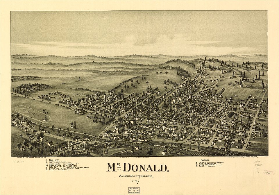
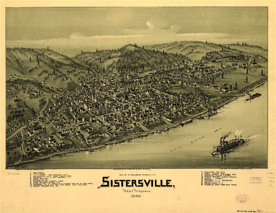
1896 maps
maps in the library of congress
1891 map
maps in the library of congress
1894 maps
maps in the library of congress
old maps of pennsylvania
maps in the library of congress
old maps of pennsylvania
maps in the library of congress
old maps of pennsylvania
charts and maps of the royal museums greenwich
old maps of the aegean sea
4601 - 4700 of 357,549
Next page
/ 3576