Log in
All resources
Create a design
Tools
357,551 Free Images of Maps
maps in the library of congress
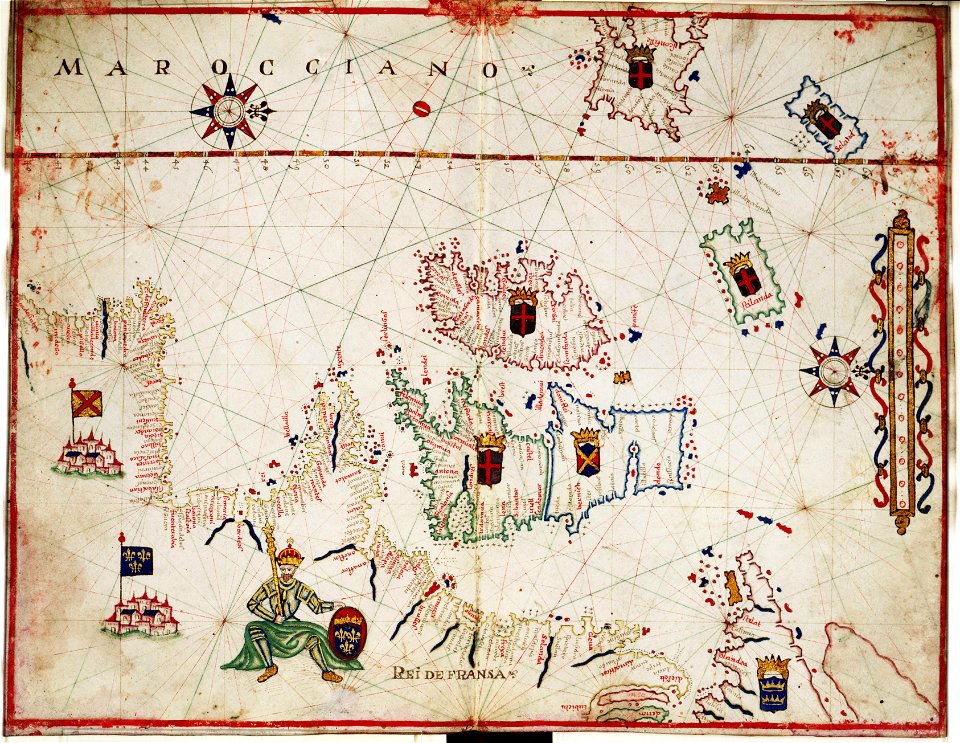
pictorial maps
old manuscript maps
spanish-language maps
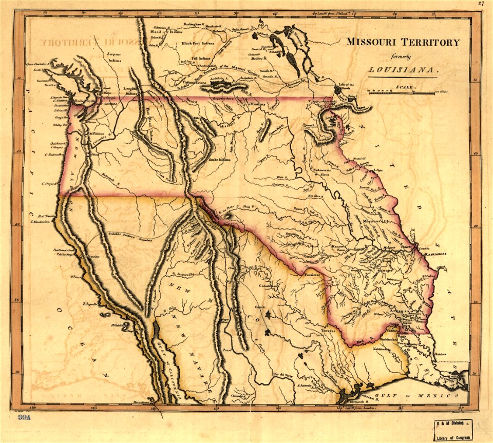
1632 maps
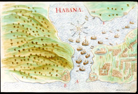
en especial del descubrimiento del reino de la california
descripciones geográphicas e hydrográphicas de muchas tierras y mares del norte y sur en las indias
maps by nicolás de cardona
watercolor maps
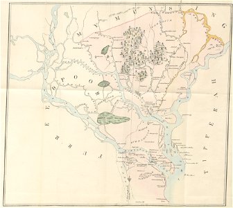
old maps of pennsylvania
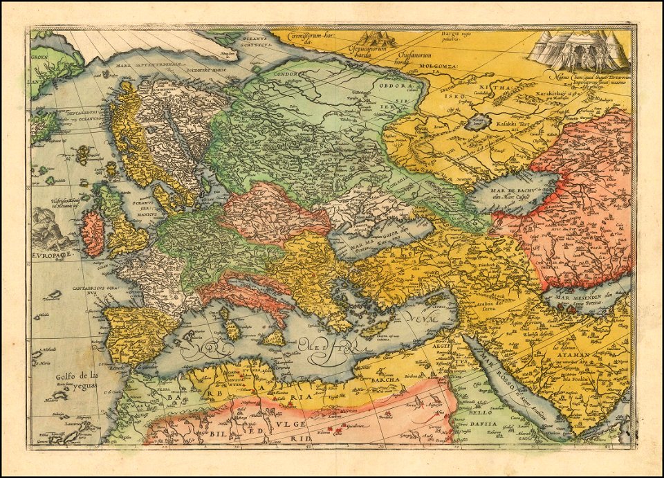
17th-century maps of france
description de l'universe
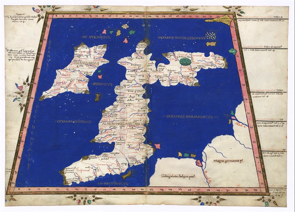
old manuscript maps
pictorial maps
old manuscript maps
pictorial maps
old manuscript maps
pictorial maps
old manuscript maps
pictorial maps
old manuscript maps
pictorial maps
maps
sea
vintage
maps
old maps of the iberian peninsula
1700s maps of portugal
old maps of gibraltar
covens en mortier
french-language maps
johannes ratelband
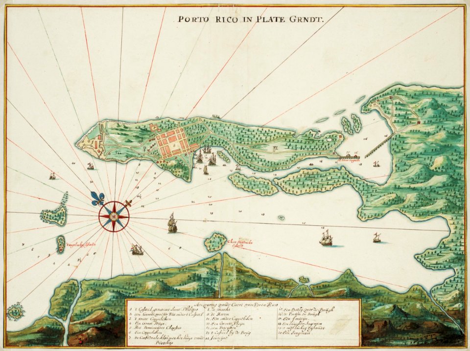
puerto rico
1665
blank electoral vote maps of the united states
svg maps of the united states
old maps of dhaka
1840 books
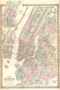
old maps of new york city
1865 maps
atlas de wit 1698
friesland
continent
maps
cambridge
new york
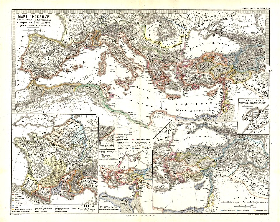
19th-century maps of the mediterranean sea
1865 maps
maps in the library of congress
new york
old maps of the arctic
maps in literature
fish ladders in the united states
1996 maps
maps of the adirondack mountains
old maps of new york (state)
french-language maps
gerard valck
maps
usa
old maps of the danube
french-language maps
old manuscript maps
pictorial maps
old manuscript maps
pictorial maps
old manuscript maps
pictorial maps
old manuscript maps
pictorial maps
old manuscript maps
pictorial maps
old manuscript maps
pictorial maps
maps by hendrik hondius the younger
latin-language maps
maps by willem and johannes blaeu
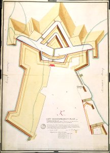
ravelins
works by georg matthäus vischer
maps made in the 17th century
maps in the library of congress
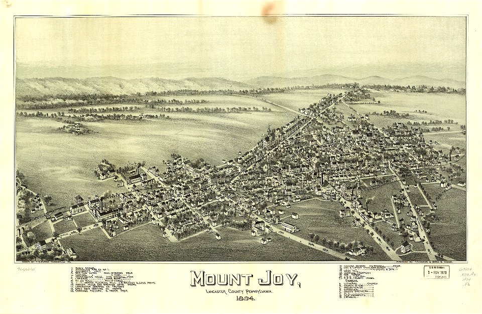
old maps of pennsylvania
old maps of massachusetts
o. h. bailey
david rumsey historical map collection
maps by william faden
david rumsey historical map collection
maps by william faden
kyoto university library
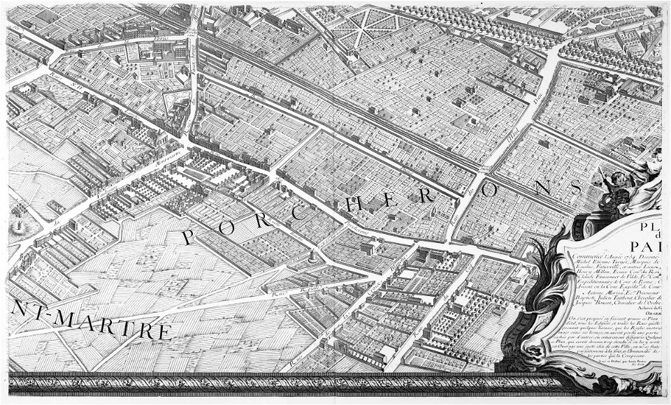
turgot map of paris
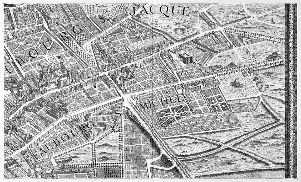
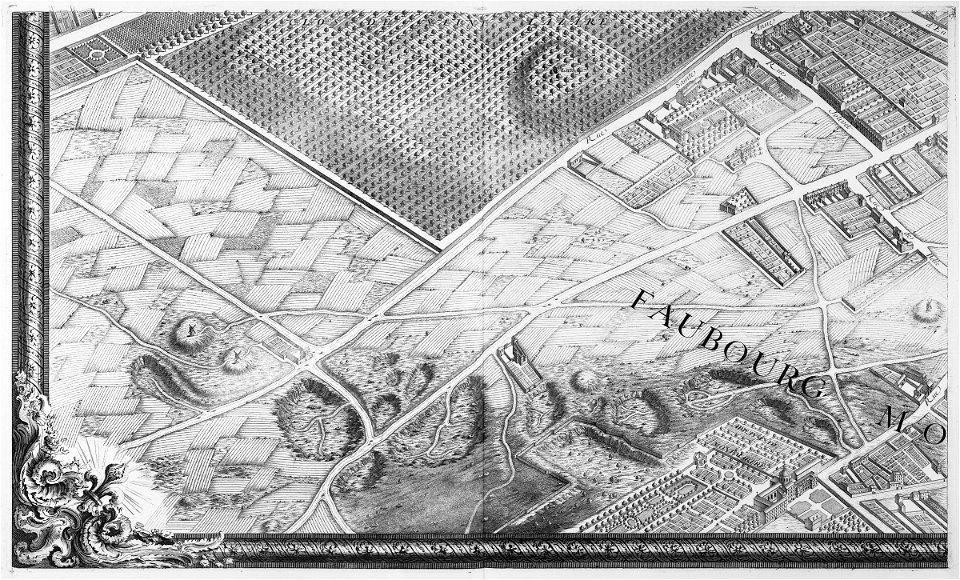
sheet 13 of the turgot map of paris
turgot map of paris
new hampshire
henniker
maps in the library of congress
old maps of ohio
maps in the library of congress
1894 maps
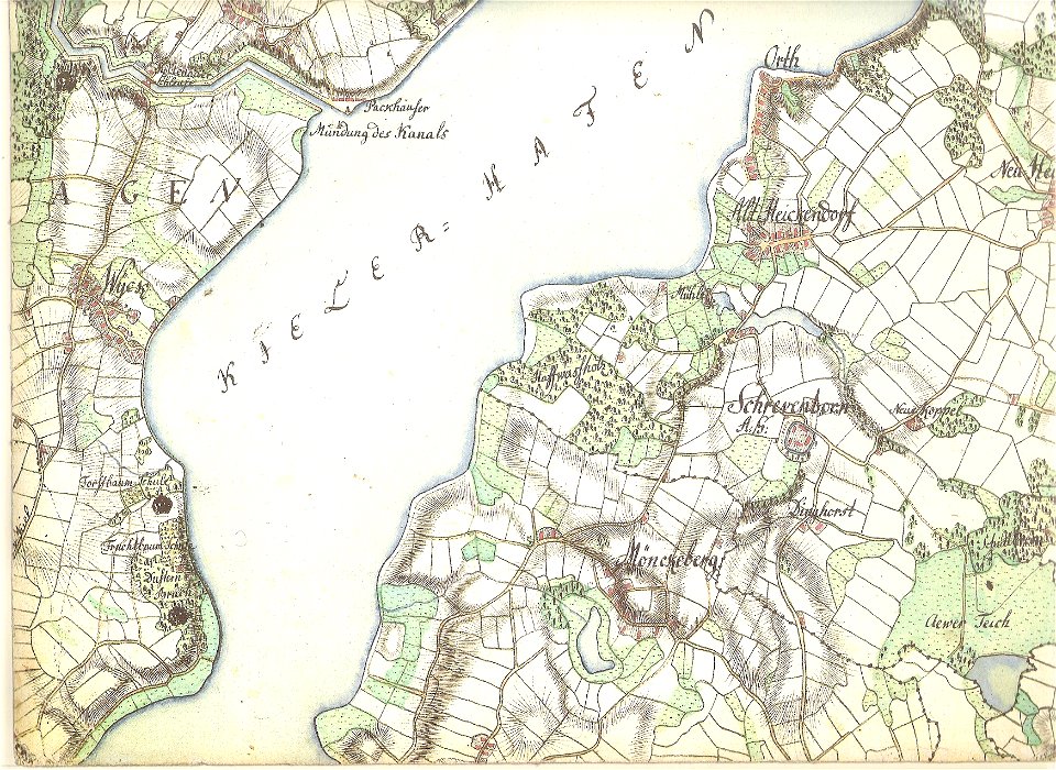
18th-century maps of schleswig-holstein
maps by gustav adolf von varendorf
charts and maps of the royal museums greenwich
maps by oliva family
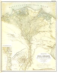
old maps of nile delta
lepsius-projekt - maps
maps in the library of congress
1867 maps
maps of paris in the 1760s
maps by matthäus seutter
cosmographia claudii ptolomaei alexandrini
latin-language maps
old maps of massachusetts
o. h. bailey
maps in the library of congress
1889 maps
maps of the dutch east india company - sri lanka
maps of fort fredrick
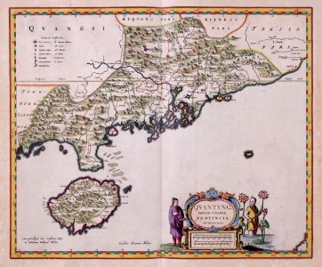
maps of the dutch east india company - china
1655)
maps of the west-indische compagnie
1720s
old maps of ayutthaya
1753
drawings in the universitätsbibliothek salzburg
historical images of dieppe
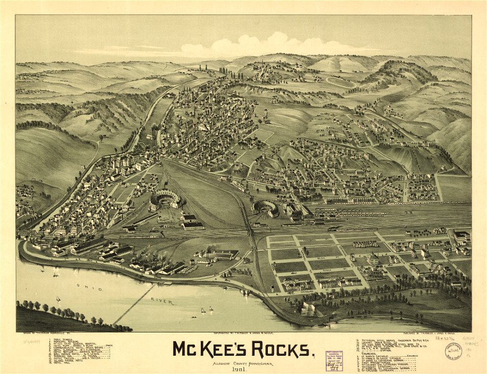
maps in the library of congress
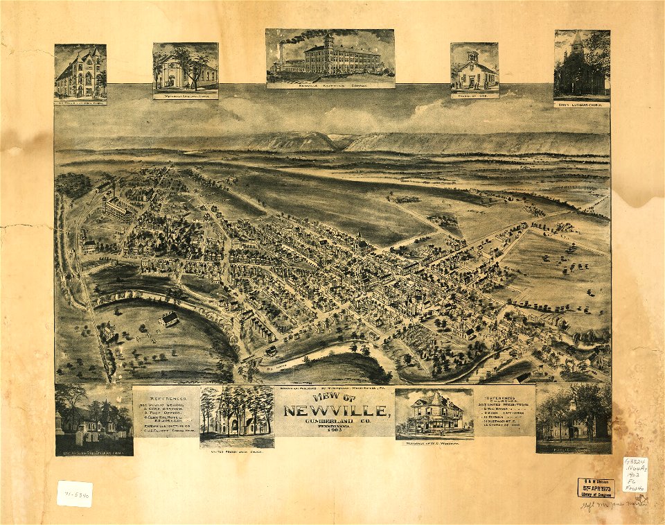
old maps of pennsylvania
maps in the library of congress
old maps of pennsylvania
maps in the stadsarchief amsterdam
old maps of amsterdam
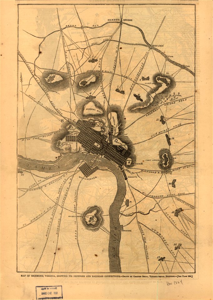
maps in the library of congress
1864 maps of virginia
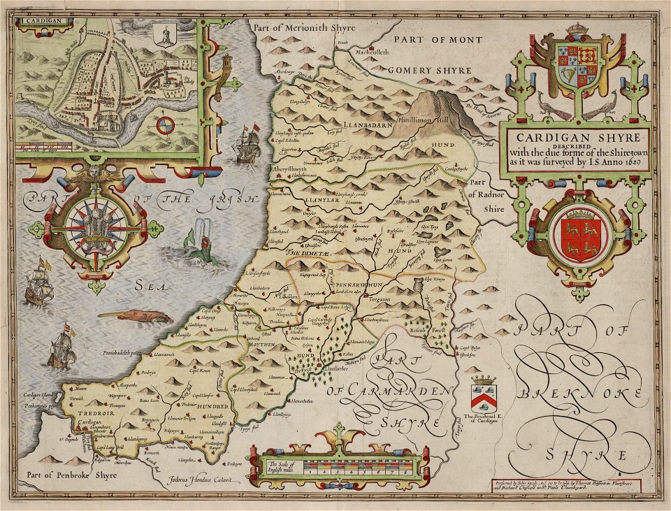
maps in the national library of wales
old county maps of cardiganshire
party per bend or and azure
coats of arms on maps
maps in the library of congress
old maps of texas
maps in the library of congress
1860 maps
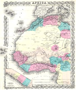
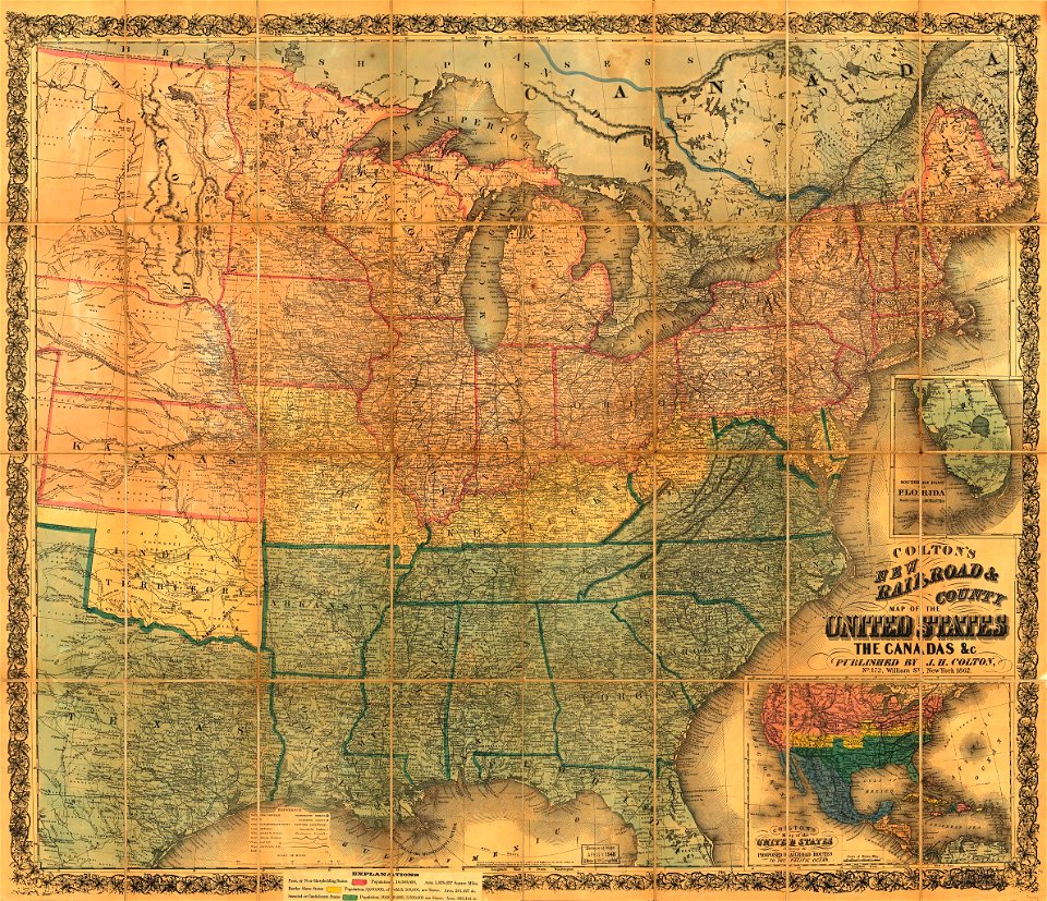
maps by joseph hutchins colton
1855 maps of africa
bibliothèque municipale de reims
mm 466
maps in the library of congress
old maps of delaware
maps in the library of congress
1882 maps
maps in the library of congress
old maps of virginia
maps in the library of congress
1882 maps
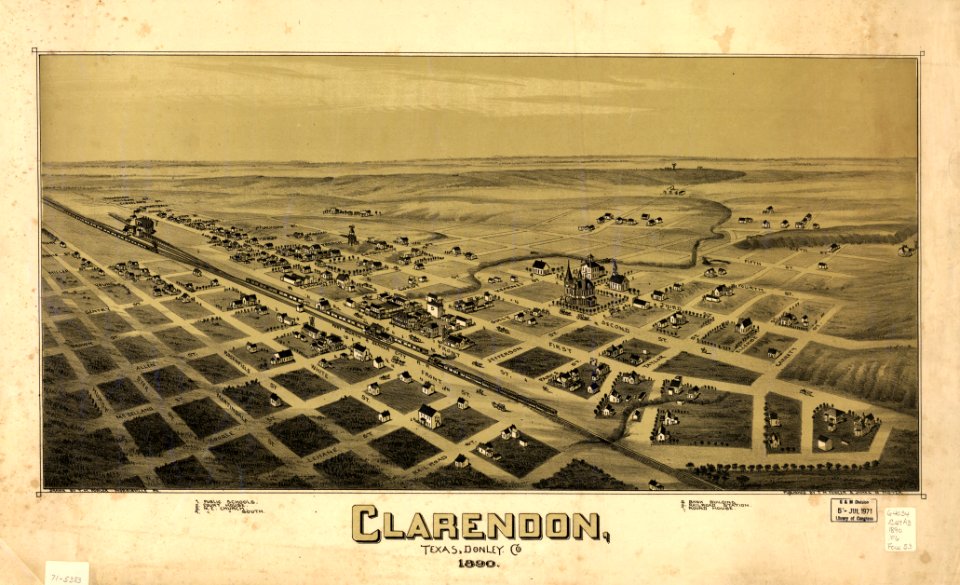
maps in the library of congress
old maps of texas
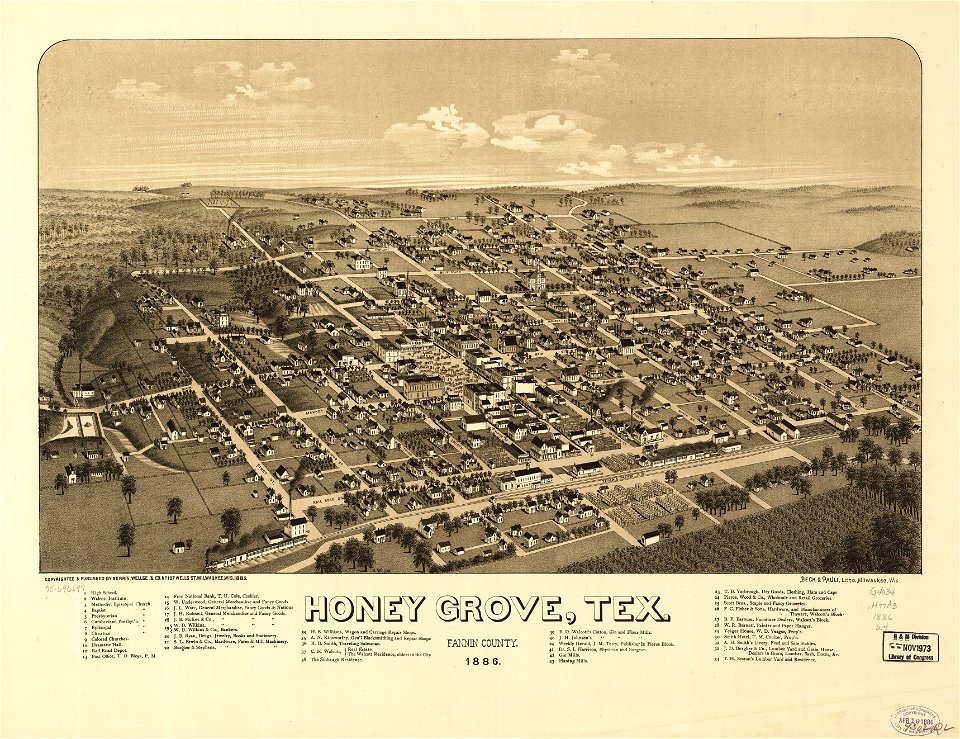
maps in the library of congress
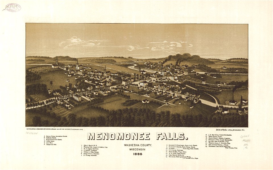
1886 maps
maps in the library of congress
1886 maps
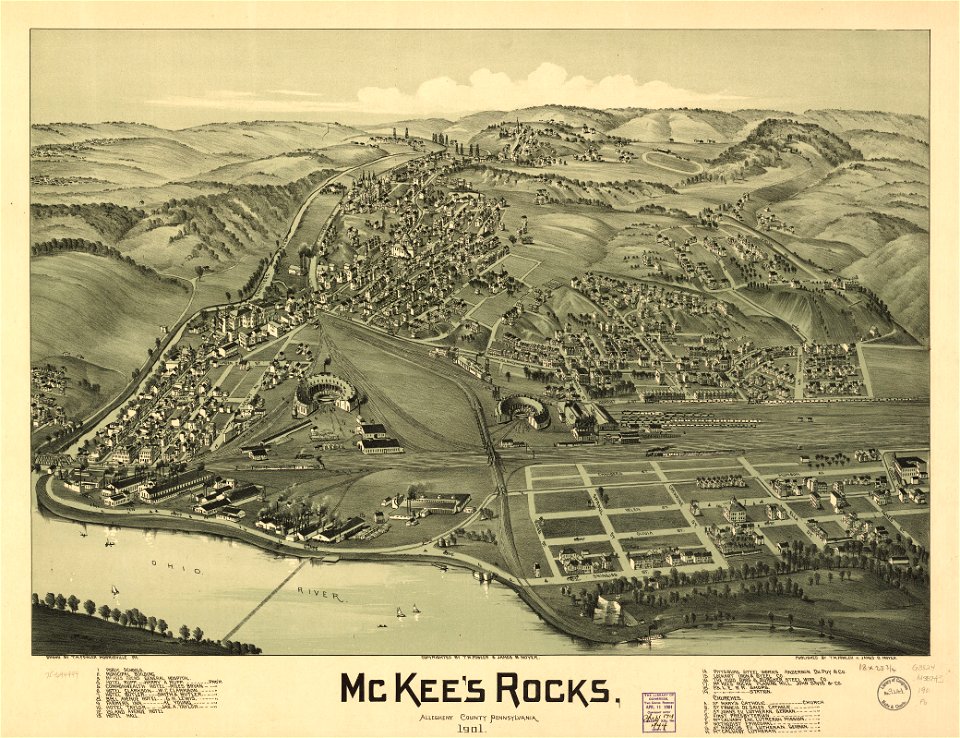
maps in the library of congress
old maps of pennsylvania
16th-century maps of slovenia
old maps of croatia
old maps of the balkans
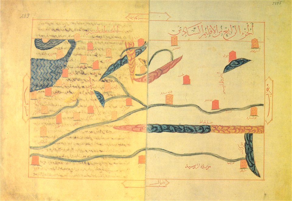
arabic-language maps
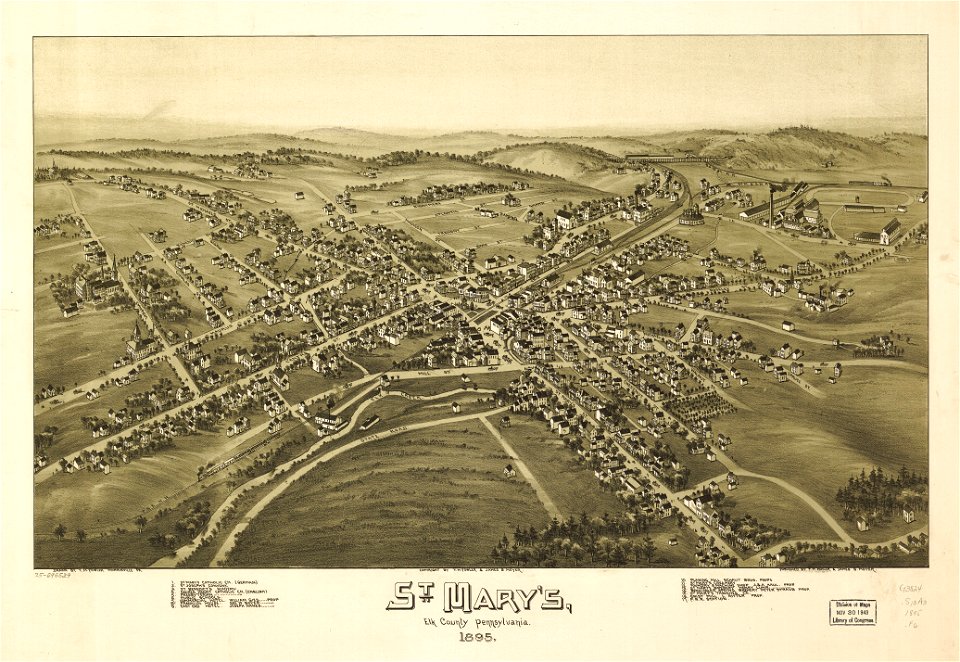
maps in the library of congress
old maps of pennsylvania
maps in the library of congress
old maps of canada
charts and maps of the royal museums greenwich
maps by oliva family
maps by coronelli
1697 maps
1570s maps of europe
frans hogenberg
maps in the library of congress
1862 maps
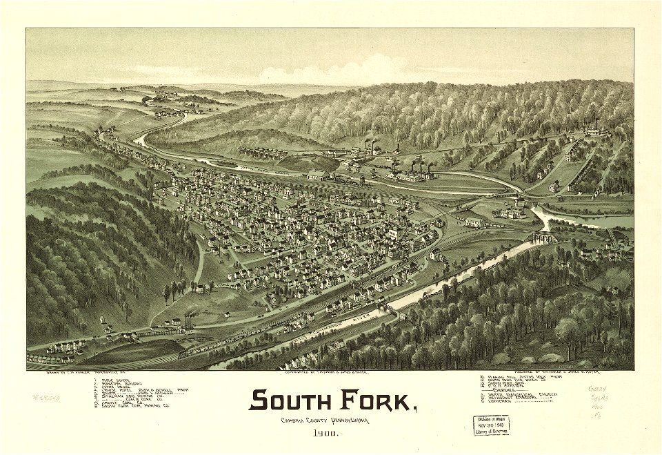
maps in the library of congress
old maps of pennsylvania
maps in the library of congress
old maps of pennsylvania
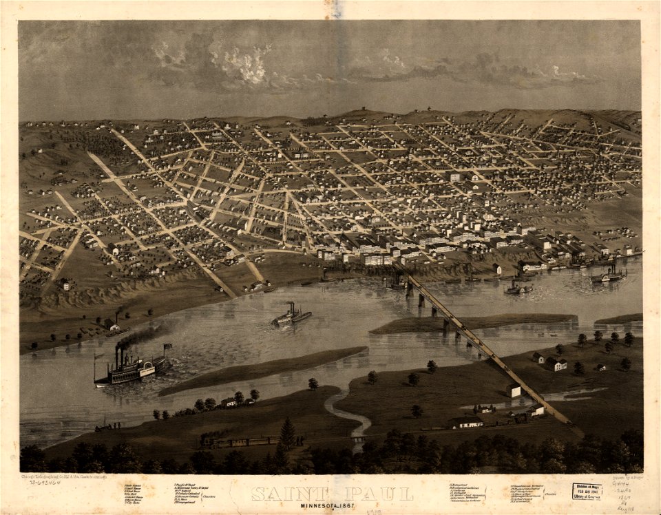
maps in the library of congress
1867 maps
maps in the library of congress
1867 maps
small atlas of the russian empire (1796)
old maps of the russian empire
girolamo porro
1572 maps
david rumsey historical map collection
maps by william faden
maps in the library of congress
albert ruger
david rumsey historical map collection
maps by william faden
david rumsey historical map collection
maps by william faden
david rumsey historical map collection
maps by william faden
old maps of massachusetts
o. h. bailey
maps in the library of congress
albert ruger
sheet 8 of the turgot map of paris
turgot map of paris
kyoto university library
turgot map of paris
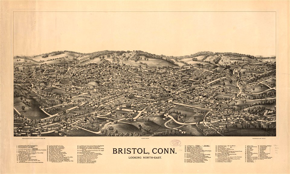
old maps of connecticut
o. h. bailey
maps in the library of congress
old maps of pennsylvania
4701 - 4800 of 357,551
Next page
/ 3576