Log in
All resources
Create a design
Tools
357,565 Free Images of Maps
maps in the library of congress
new jersey
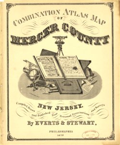
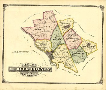
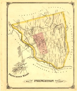
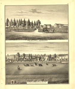
combination atlas map of mercer county
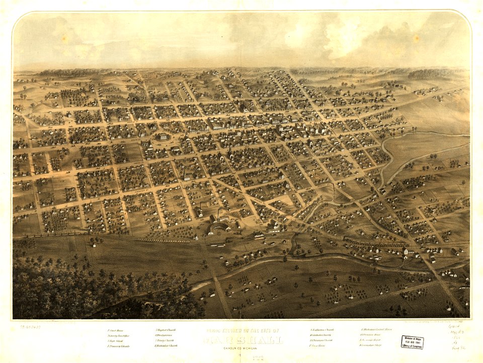
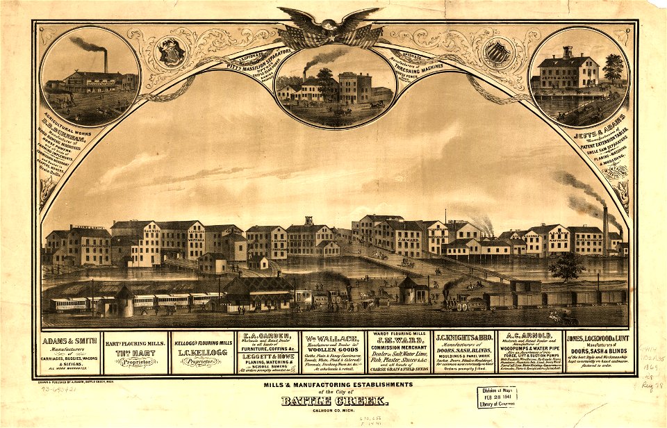
albert ruger
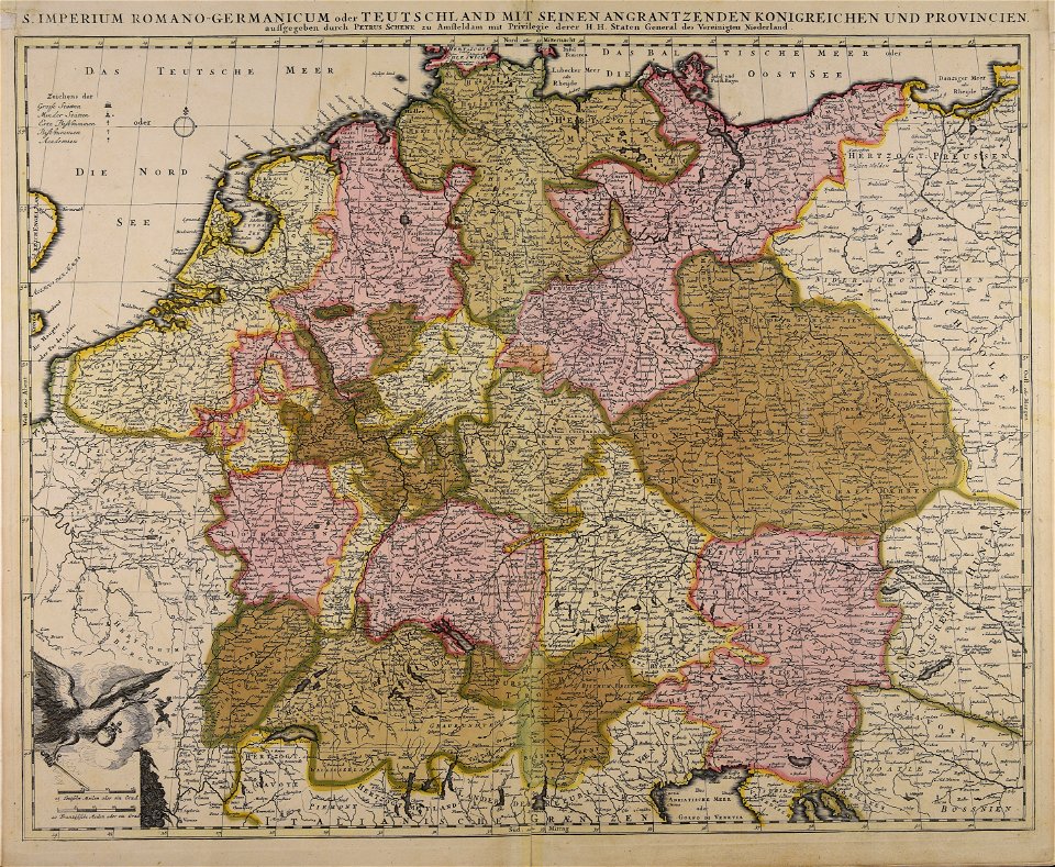
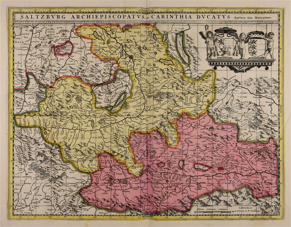
maps by pieter schenk (i)
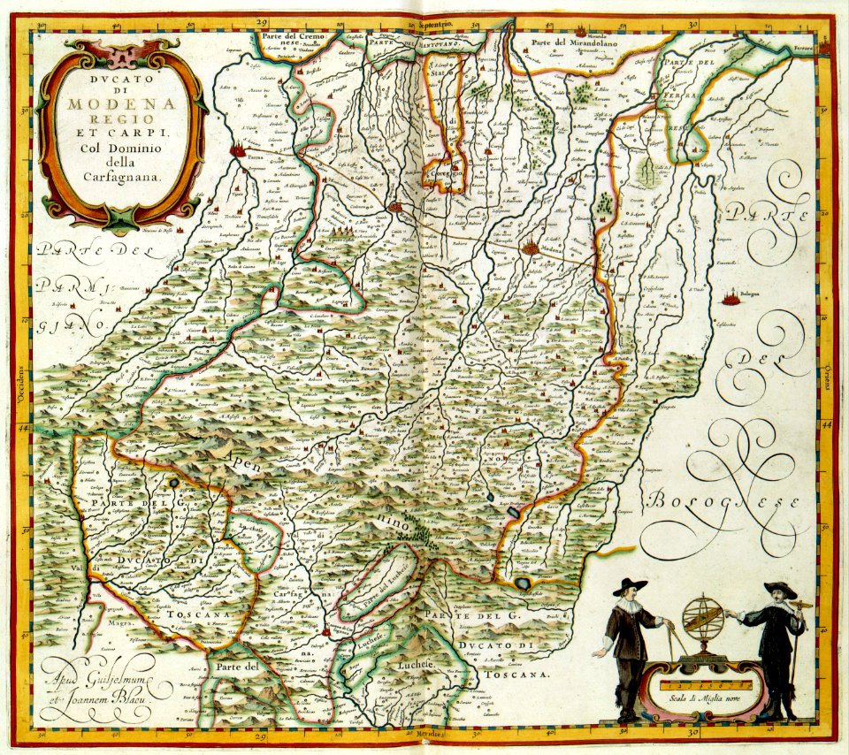
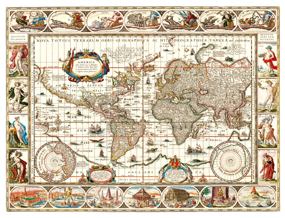
maps made in the 17th century
gerard valck
atlantis magni tomus tertius (biblioteca comunale di trento)
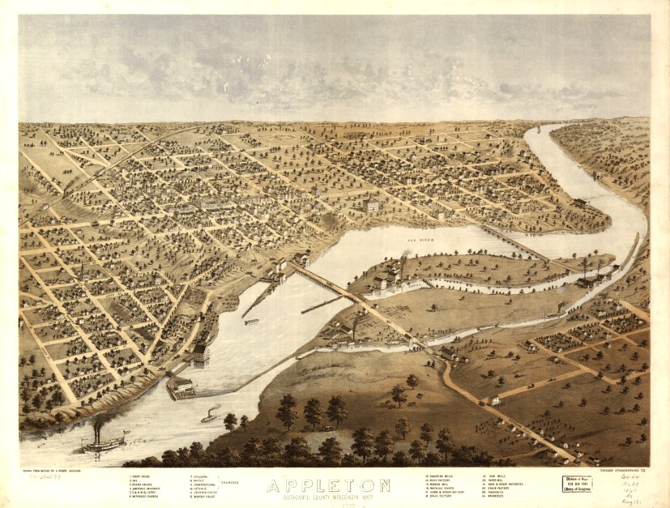
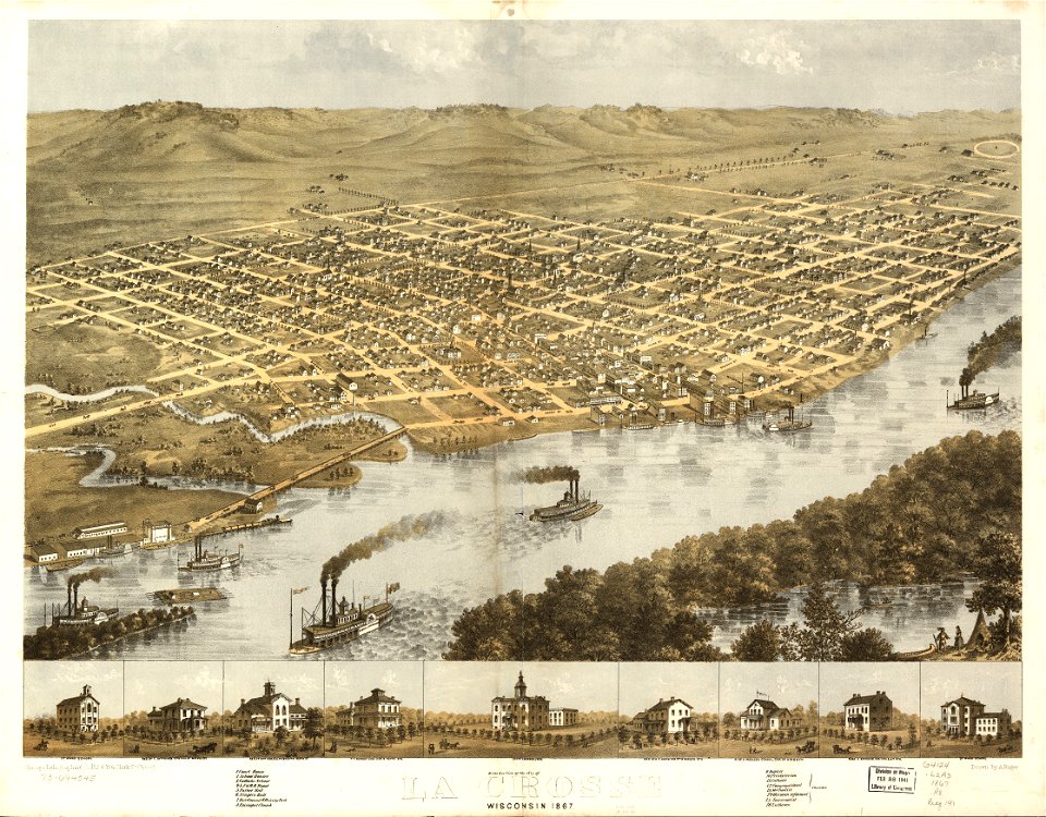
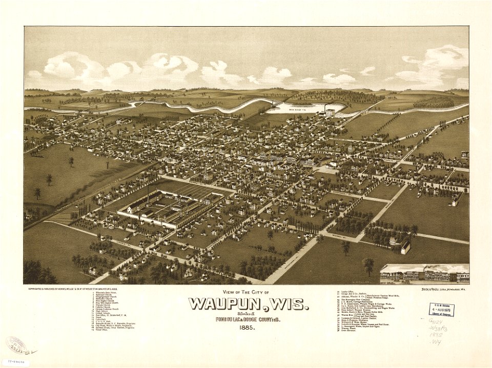
old maps of wisconsin
1869 maps
maps in the library of congress
albert ruger
maps in the library of congress
albert ruger
maps in the library of congress
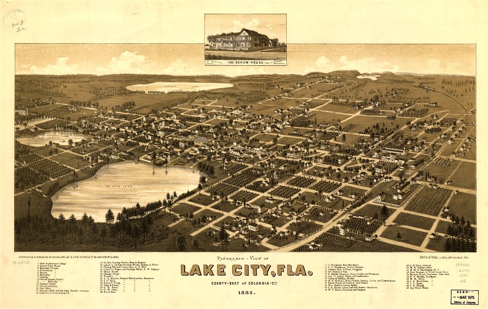
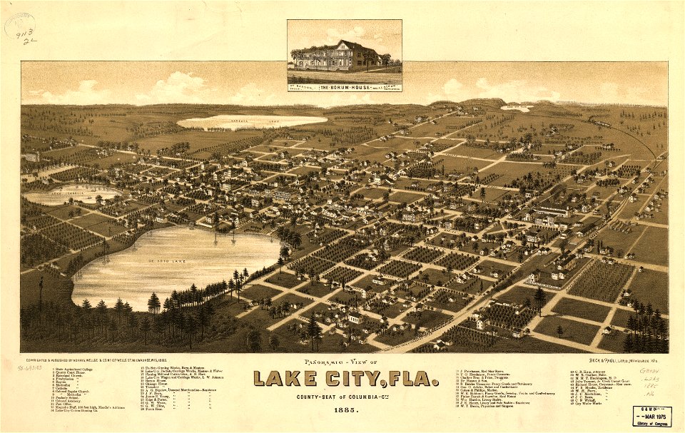
old maps of florida
maps with cartouches
atlas van der hagen
18th-century maps of the spanish empire
dien (printer)
nicolaes visscher ii
abraham goos
africa
maps
countries
maps
africa
maps
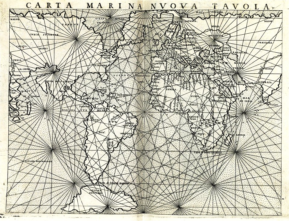
ptolemaic world maps
latin-language maps
maps made in the 18th century
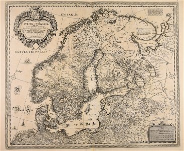
old maps of europe
maps made in the 17th century
gerard valck
maps made in the 17th century
gerard valck
maps made in the 17th century
maps by nicolaes visscher i
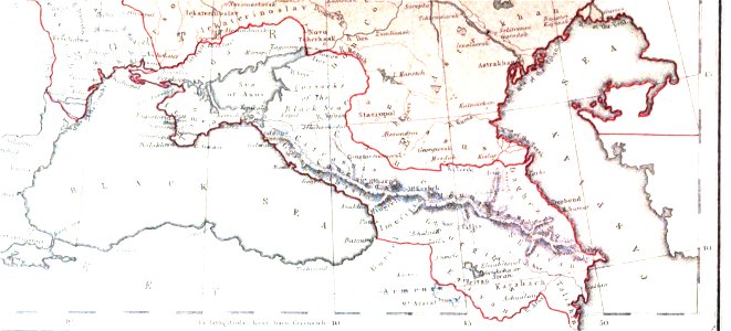
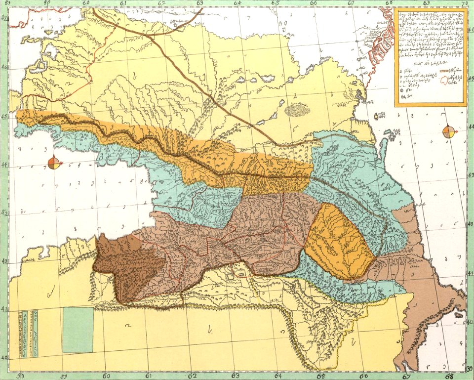
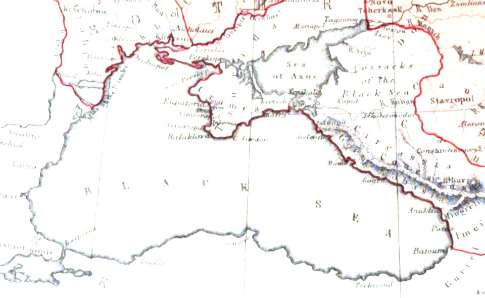
19th-century maps of the caucasus
1856 maps
maps made in the 17th century
gerard valck
maps made in the 17th century
gerard valck
maps
usa
maps by willem and johannes blaeu
jodocus hondius
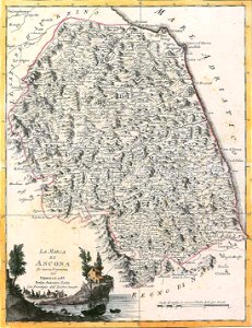
maps of the march of ancona
maps by antonio zatta
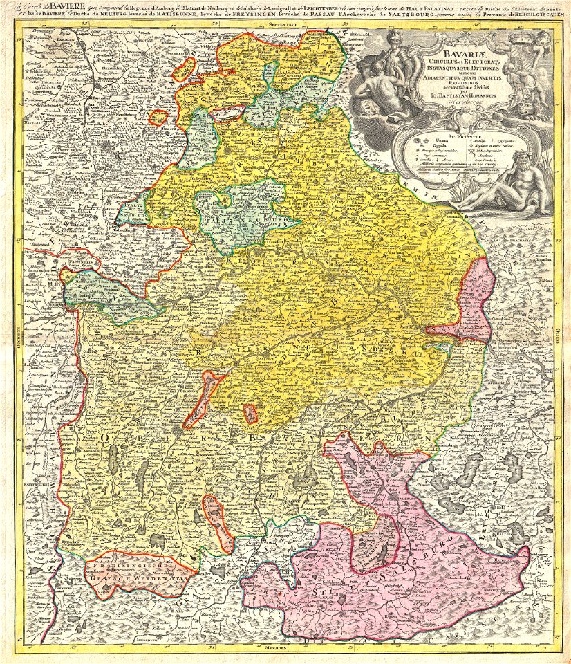
johann baptist homann
1728 maps
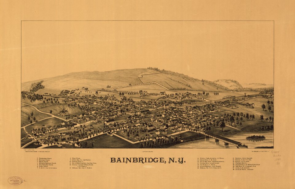
bainbridge
new york
maps of the dutch east india company - sri lanka
1787
david rumsey historical map collection
jr
maps in the library of congress
1867 maps
maps of the dutch east india company - indonesia
banda islands
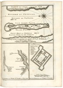
maps of the senegal river
1750
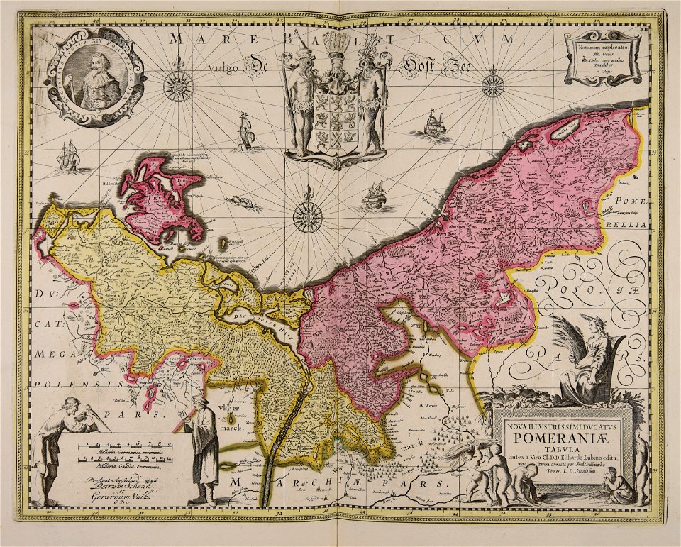
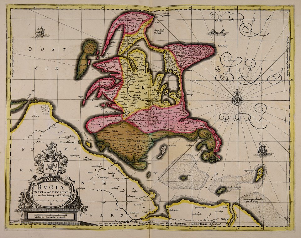
old maps of silesia
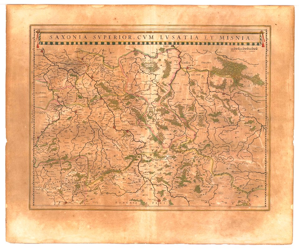
old maps of saxony
maps in the library of congress
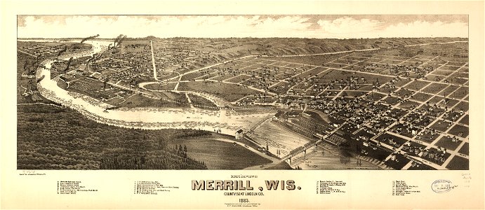
old maps of wisconsin
maps in the library of congress
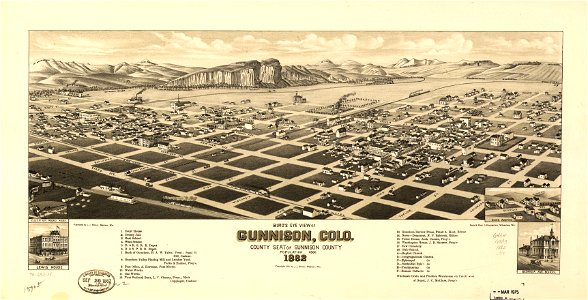
1882 maps
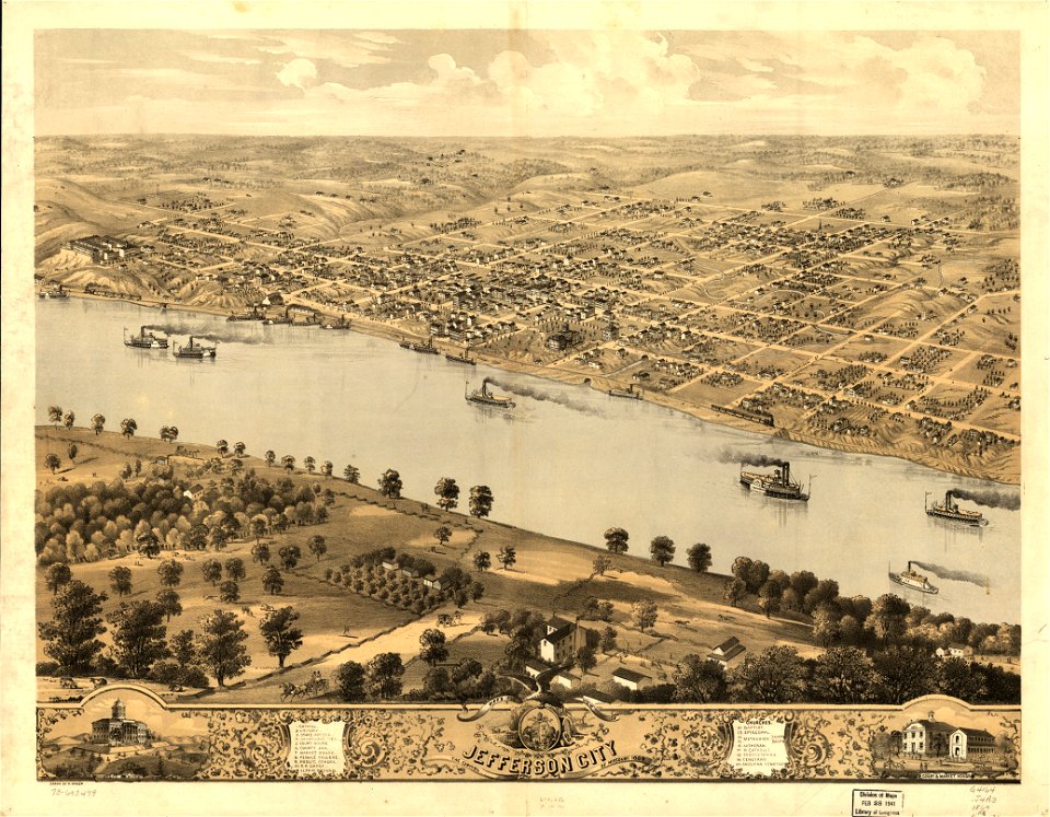
maps in the library of congress
albert ruger
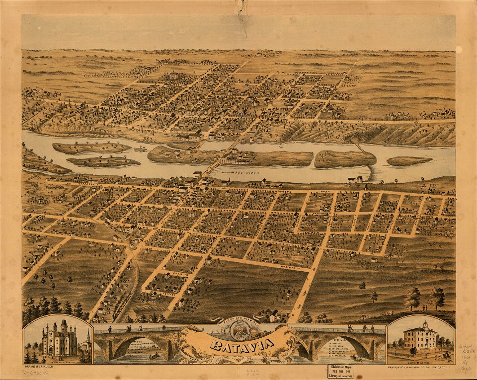
maps in the library of congress
albert ruger
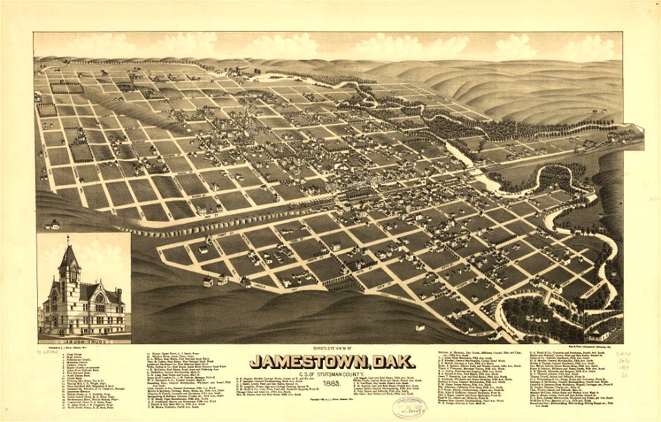
maps in the library of congress
1883 maps
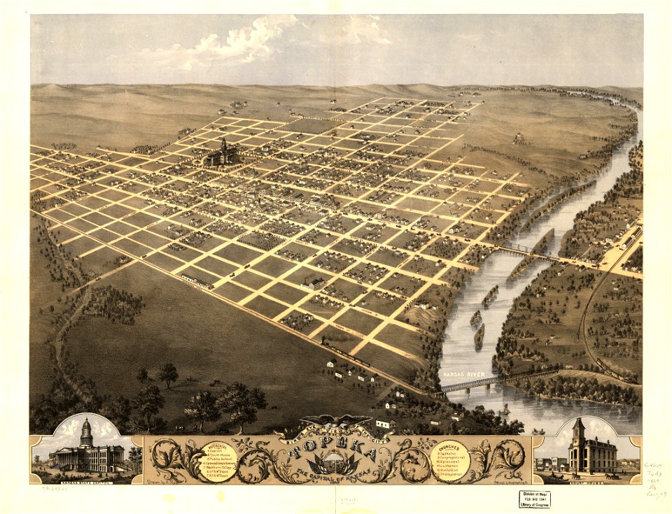
maps in the library of congress
albert ruger
maps in the library of congress
1867 maps
maps in the library of congress
albert ruger
maps in the library of congress
1867 maps
maps in the library of congress
albert ruger
maps in the library of congress
old maps of wisconsin
maps in the library of congress
albert ruger
maps by joseph hutchins colton
1855 maps of ontario
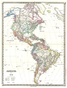
19th-century maps of the americas
karl spruner von merz
cosmographia claudii ptolomaei alexandrini
latin-language maps
cosmographia claudii ptolomaei alexandrini
latin-language maps
cosmographia claudii ptolomaei alexandrini
ptolemy's 1st african map
pfannenstiel
hirslanden
images from the new york public library
old maps of the tsardom of russia
abel tasman
1644 maps
new york
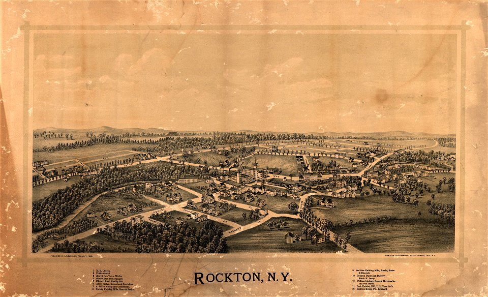
rockton
maps in the library of congress
old maps of florida
maps in the library of congress
1885 maps
new york
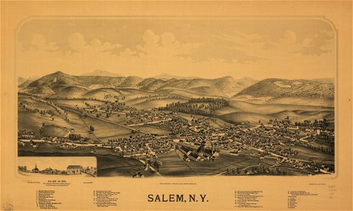
salem
isolario di benedetto bordone (1547)
maps by benedetto bordon
maps in the library of congress
1889 maps
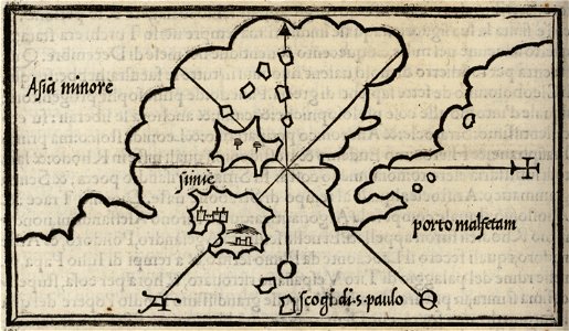
description of kingdom of georgia
its habits and canons
description of kingdom of georgia
its habits and canons
description of kingdom of georgia
its habits and canons
maps in the library of congress
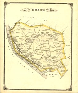
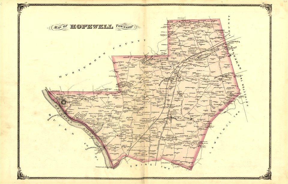
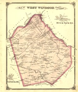
new jersey
maps in the library of congress
new jersey
maps in the library of congress
new jersey
maps in the library of congress
new jersey
maps in the library of congress
new jersey
maps in the library of congress
new jersey
maps in the library of congress
new jersey
maps in the library of congress
new jersey
maps in the library of congress
new jersey
maps in the library of congress
new jersey
maps in the library of congress
new jersey
maps in the library of congress
new jersey
maps in the library of congress
new jersey
maps in the library of congress
new jersey
maps in the library of congress
new jersey
maps in the library of congress
new jersey
maps in the library of congress
new jersey
maps in the library of congress
new jersey
maps in the library of congress
new jersey
maps in the library of congress
new jersey
maps in the library of congress
new jersey
maps in the library of congress
new jersey
maps in the library of congress
new jersey
maps in the library of congress
new jersey
maps in the library of congress
new jersey
new york
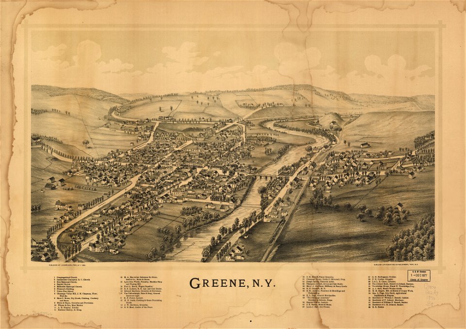
green
old maps of aust-agder
old maps of telemark
volume 3 of le tour du monde
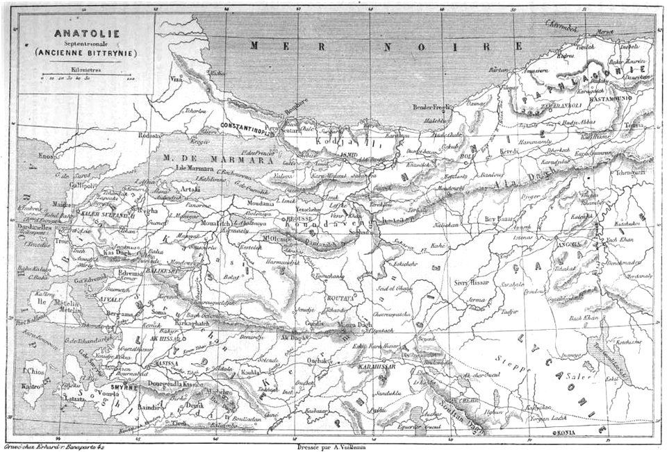
old maps of turkey
adventure
compass
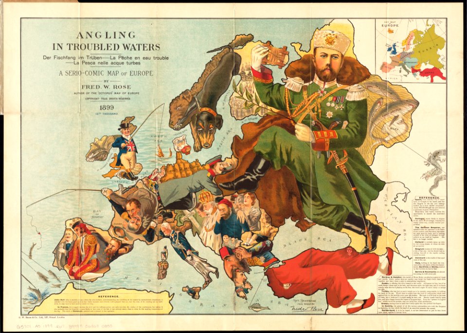
old maps showing history of europe
1899 maps
illustration
maps
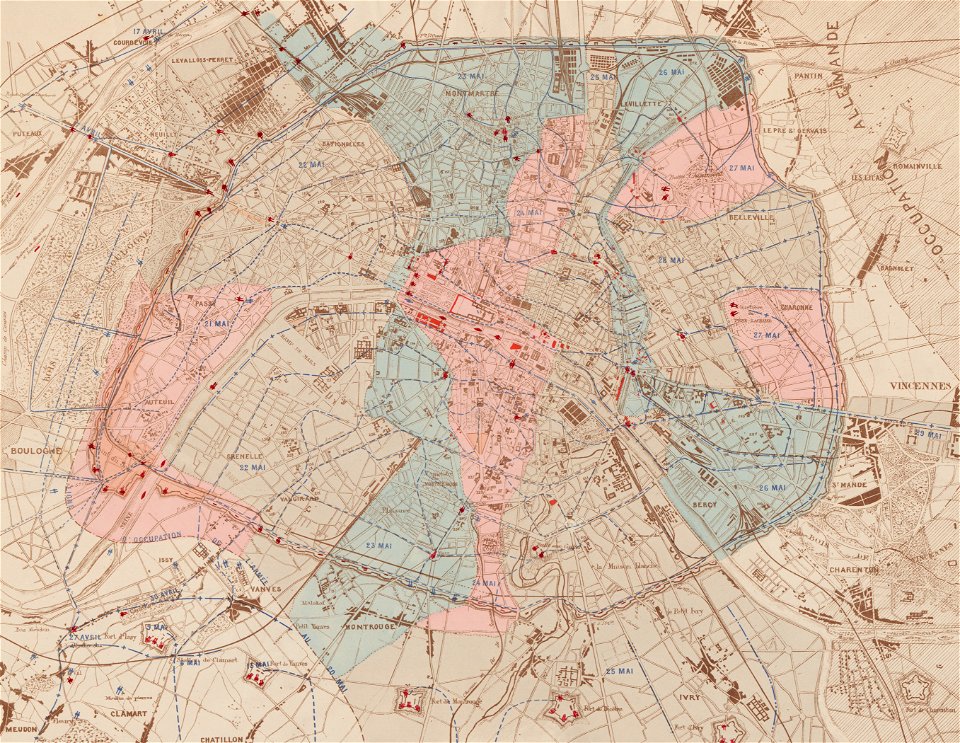
maps of paris in the 1870s
1871 in paris
maps made in the 17th century
gerard valck
pictorial history of the russian war 1854-5-6 by george dodd
maps of circassia
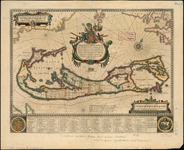
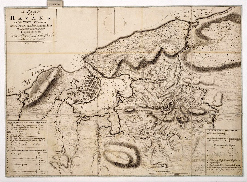
morro castle (havana)
london
maps made in the 17th century
gerard valck
maps made in the 17th century
gerard valck
maps from the mechanical curator collection
william peel (royal navy officer)
maps by sebastian münster
1550 maps
maps in the library of congress
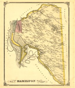
old maps of pennsylvania
maps in the library of congress
old maps of pennsylvania
maps in the library of congress
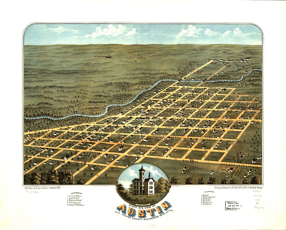
albert ruger
innere stadt
vienna
5801 - 5900 of 357,565
Next page
/ 3576