Log in
All resources
Create a design
Tools
357,566 Free Images of Maps
maps in the library of congress
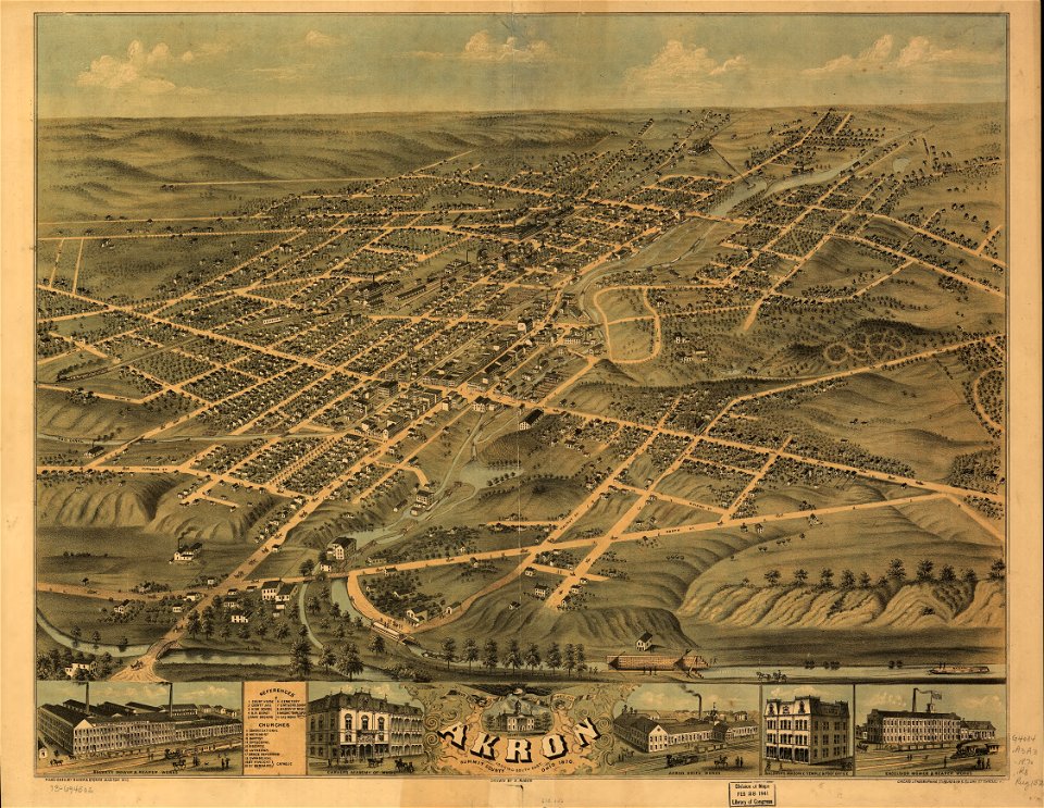
albert ruger
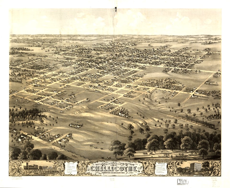
1869 maps
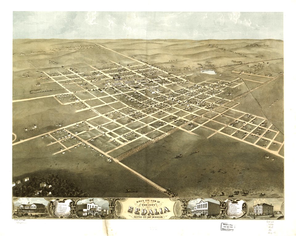
old maps of missouri
old maps of illinois
old maps of michigan
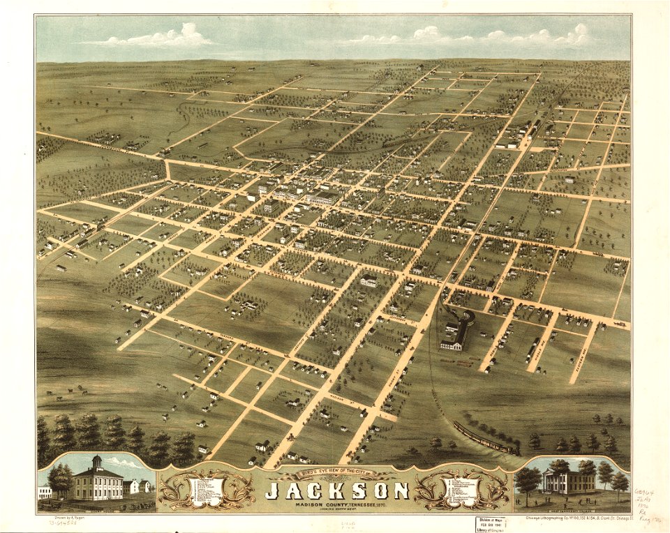
1870 maps
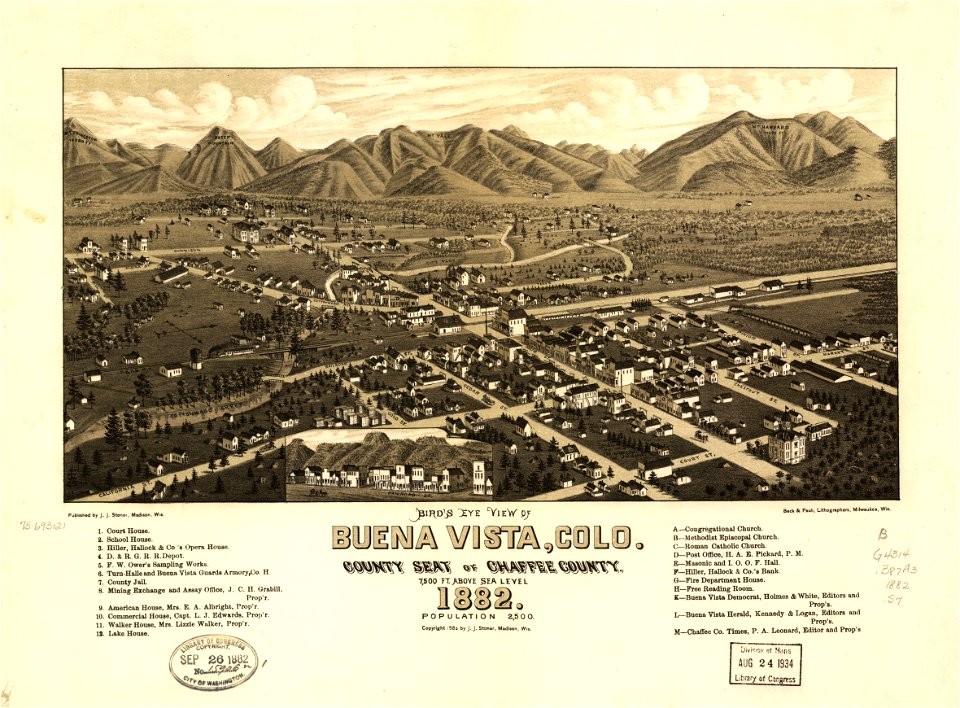
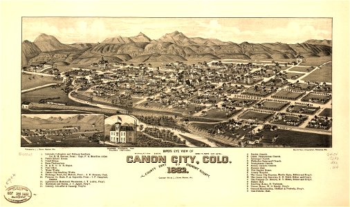
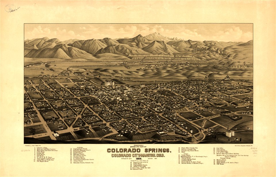
1882 maps
1868 maps
old maps of pennsylvania
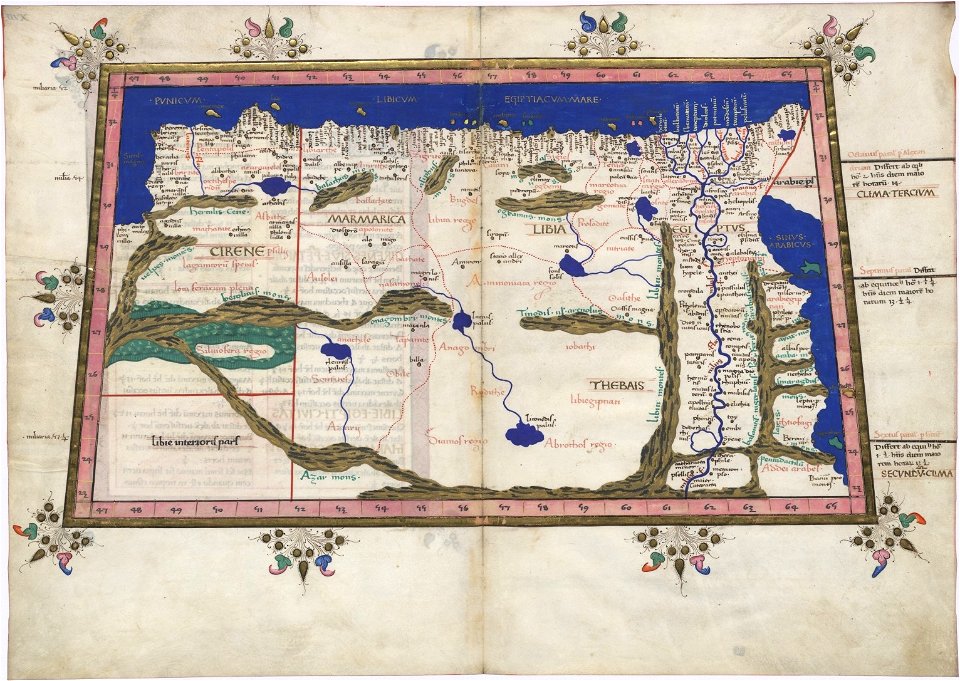
ptolemy's 3rd african map
latin-language maps
latin-language maps
1630 maps
david rumsey historical map collection
jr
18th-century maps of indonesia
banda islands
jacobus van der schley
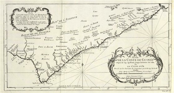
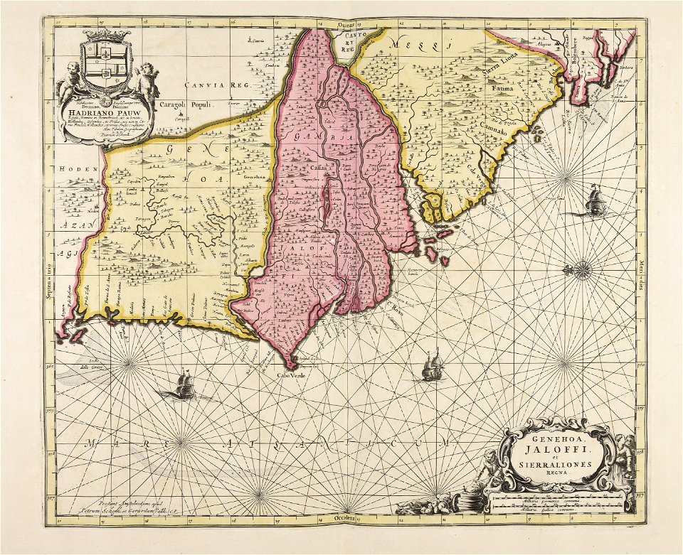
maps of west africa
maps of the west-indische compagnie
1746
maps in the library of congress
old maps of pennsylvania
maps in the library of congress
old maps of pennsylvania
maps by sebastian münster
1550 maps
maps in the library of congress
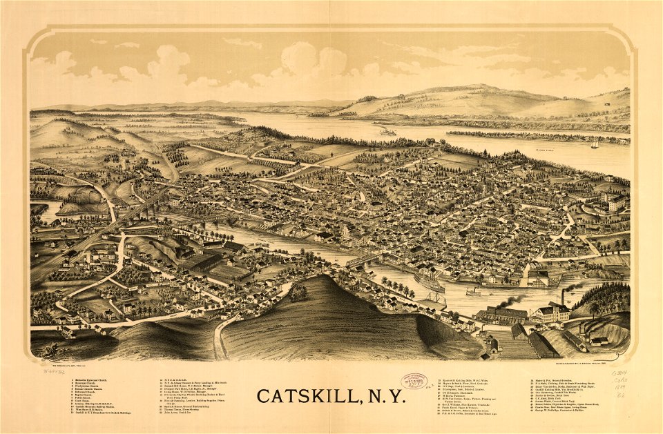
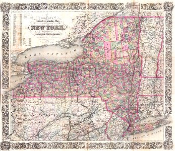
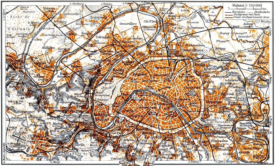
new york
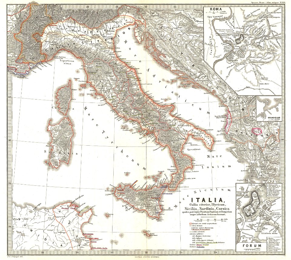
karl spruner von merz
old maps of italy
maps in the library of congress
pennsylvania
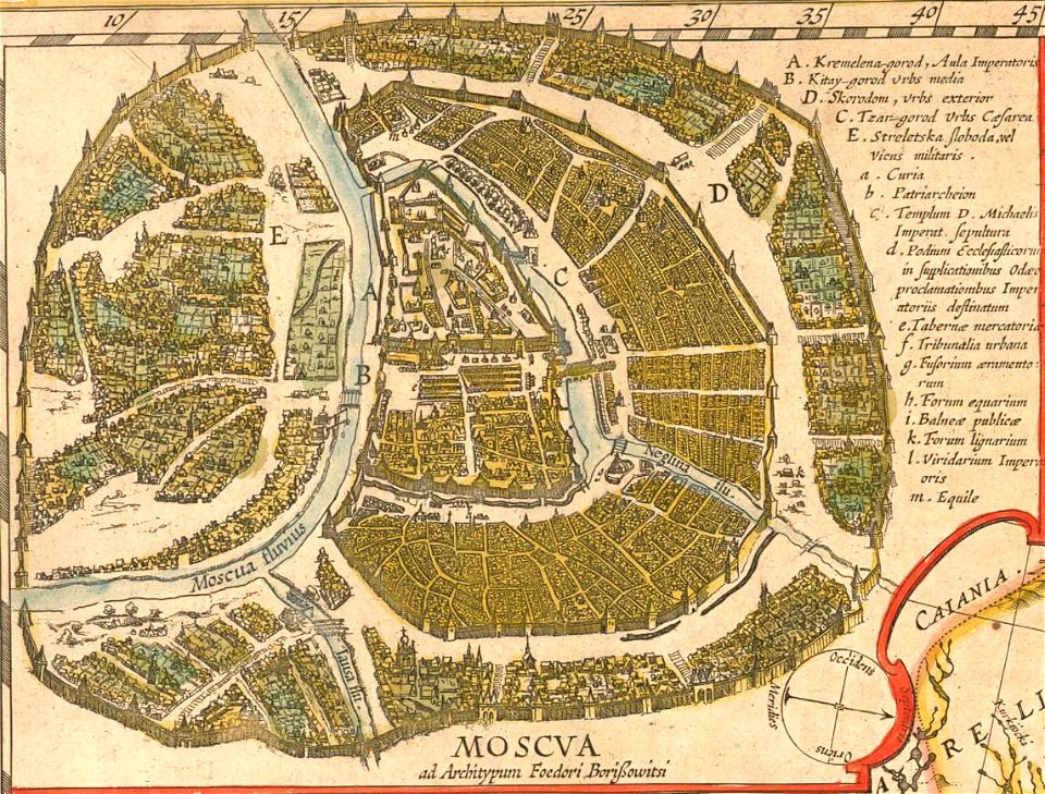
old maps of the tsardom of russia
atlas novus (blaeu)
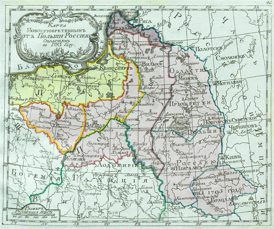
small atlas of the russian empire (1792)
maps of saint petersburg governorate
small atlas of the russian empire (1792)
old maps of partitioned poland
maps in the library of congress
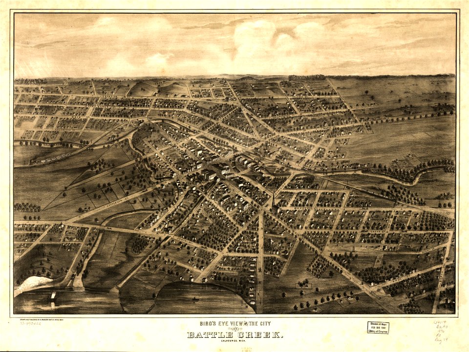
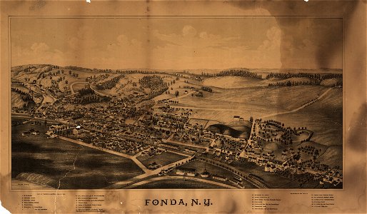
albert ruger
maps in the library of congress
1882 maps
maps in the library of congress
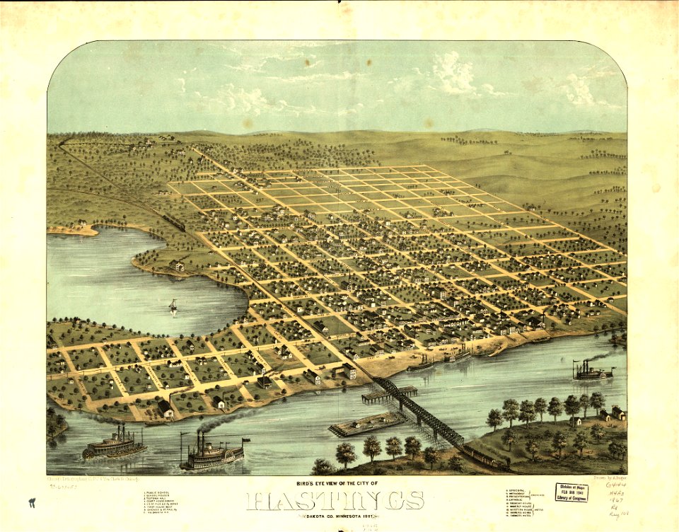
1867 maps
maps in the library of congress
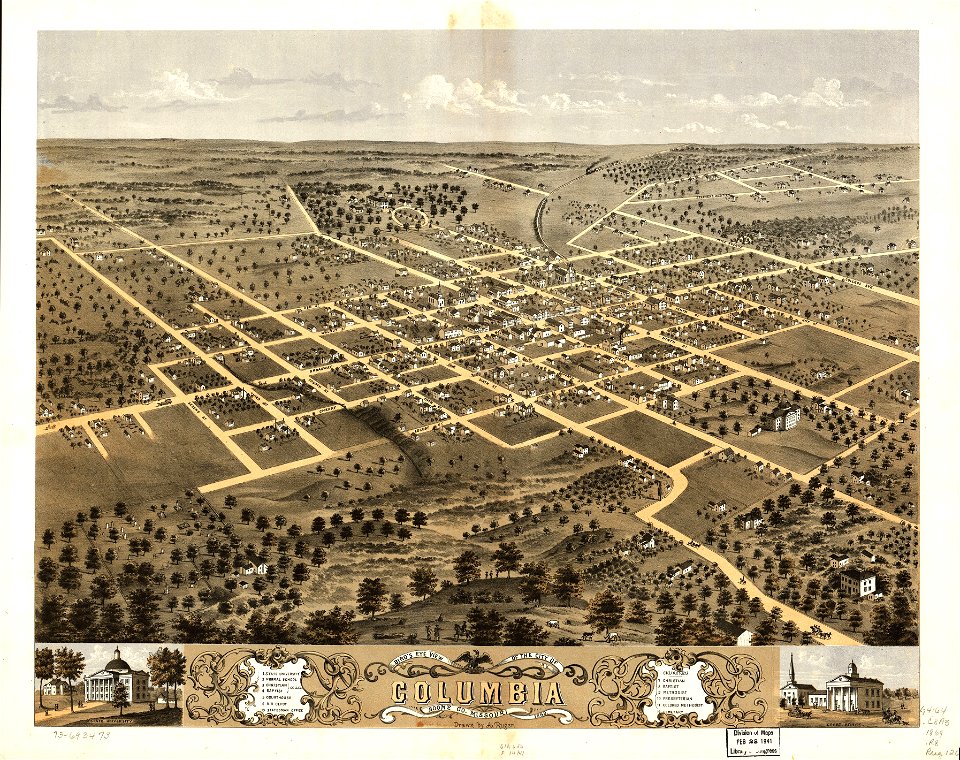
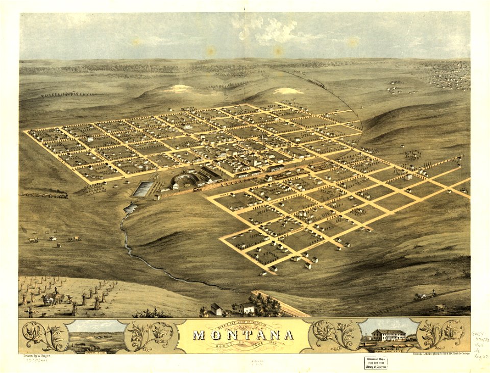
albert ruger
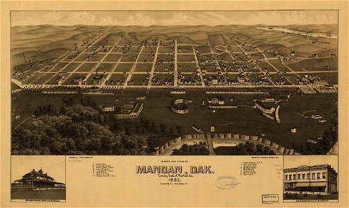
1883 maps of south dakota
south dakota
maps in the library of congress
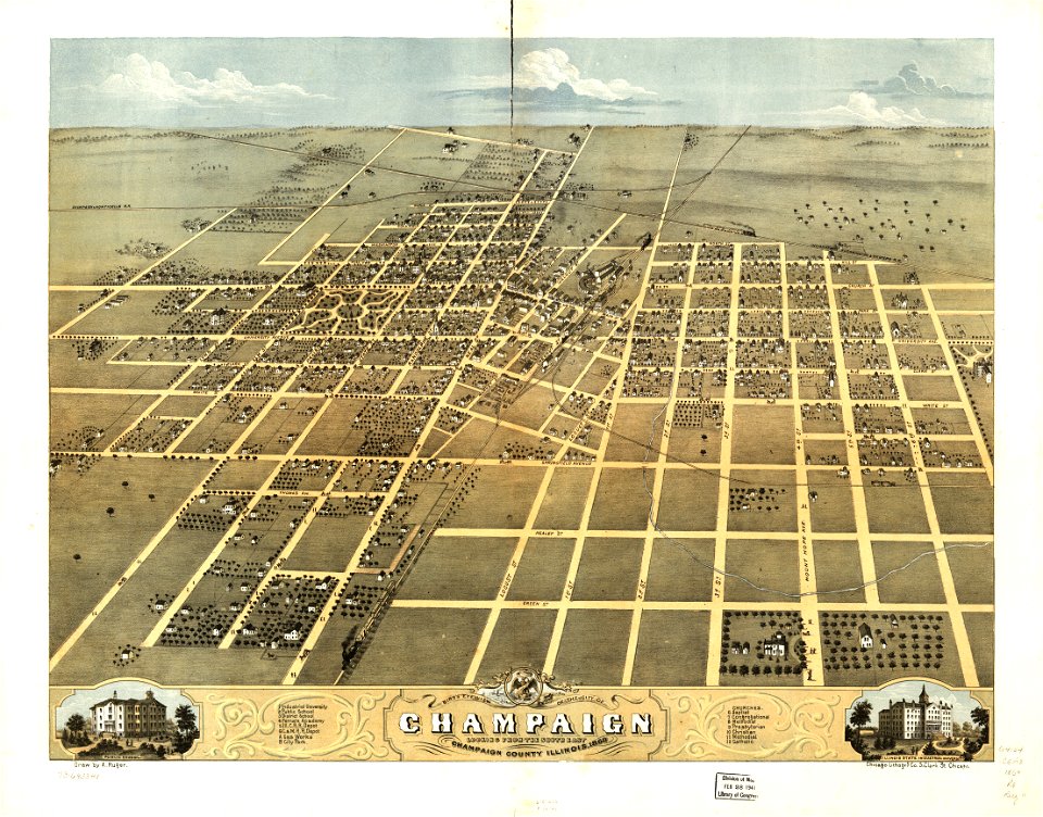
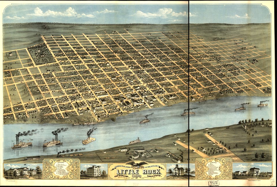
albert ruger
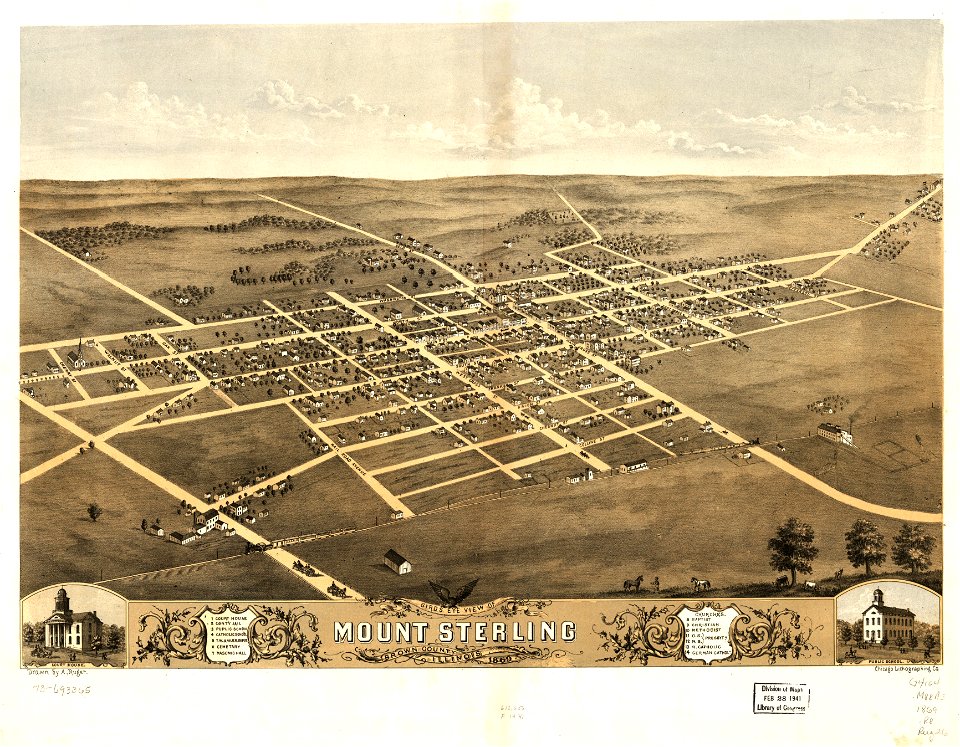
maps in the library of congress
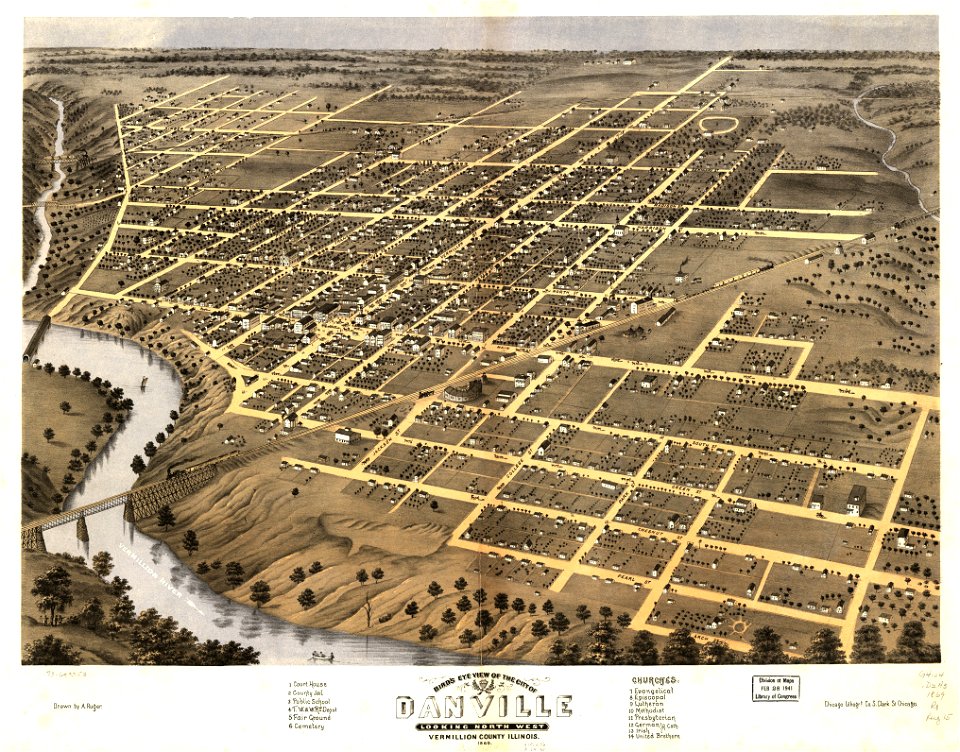
albert ruger
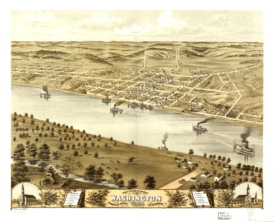
maps in the library of congress
albert ruger
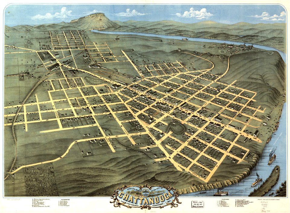
maps in the library of congress
albert ruger
maps in the library of congress
albert ruger
maps in the library of congress
albert ruger
maps in the library of congress
1882 maps
maps in the library of congress
albert ruger
maps in the library of congress
albert ruger
maps in the library of congress
albert ruger
maps in the library of congress
albert ruger
maps in the library of congress
albert ruger
maps in the library of congress
albert ruger
maps in the library of congress
albert ruger
maps in the library of congress
albert ruger
maps in the library of congress
albert ruger
maps in the library of congress
albert ruger
maps in the library of congress
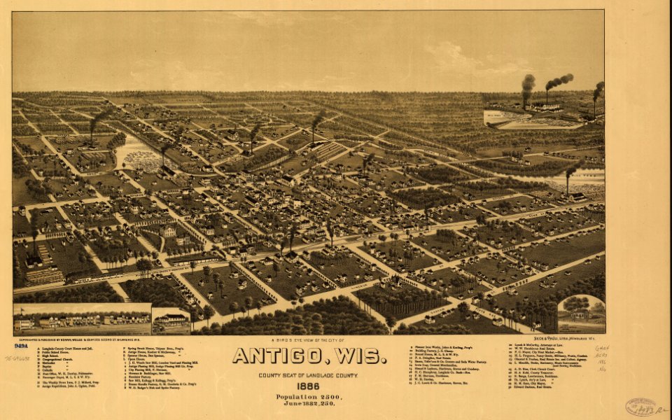
1883 maps
maps in the library of congress
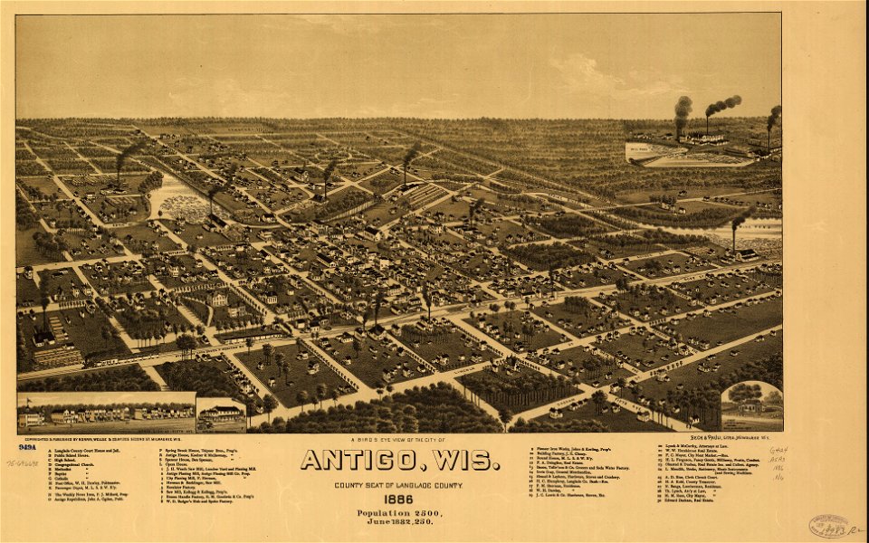
1886 maps
maps in the library of congress
1886 maps
maps in the library of congress
1886 maps
maps in the library of congress
albert ruger
maps by jacques-nicolas bellin
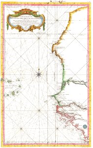
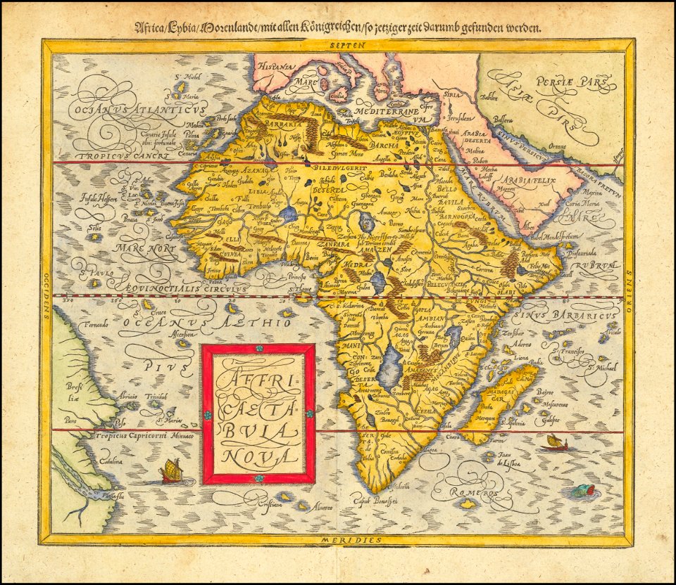
19th-century maps of africa
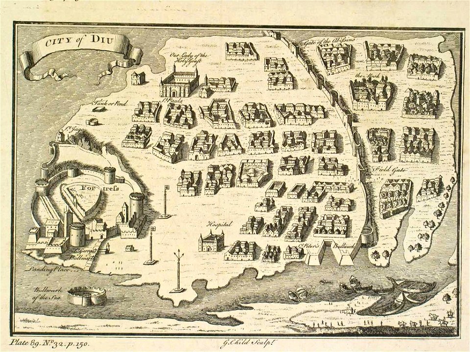
india
diu
maps in the library of congress
old maps of louisiana
maps made in the 18th century
gerard valck
maps made in the 17th century
gerard valck
sierra leone
gerard valck
maps in the library of congress
1882 maps
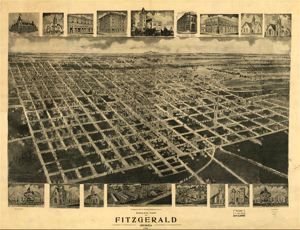
fitzgerald
georgia
fitzgerald
georgia
maps in the library of congress
1883 maps
maps in the library of congress
new york
karl spruner von merz
old maps of italy
maps by joseph hutchins colton
1876 maps of new york (state)
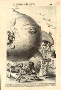
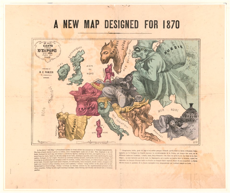
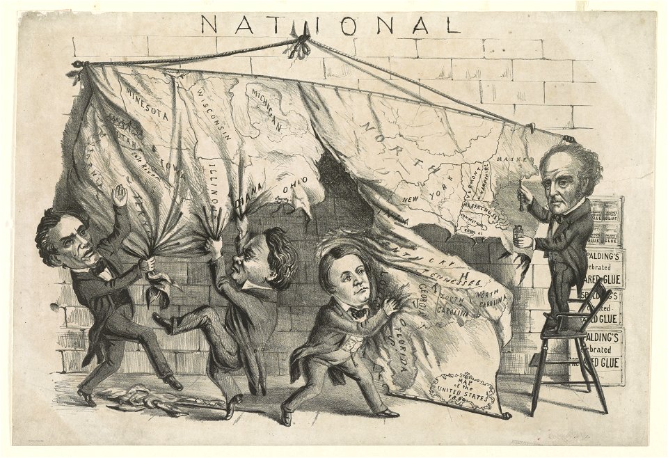
19th-century satirical maps
1870s maps of the world
maps by matthäus seutter
history of stuttgart
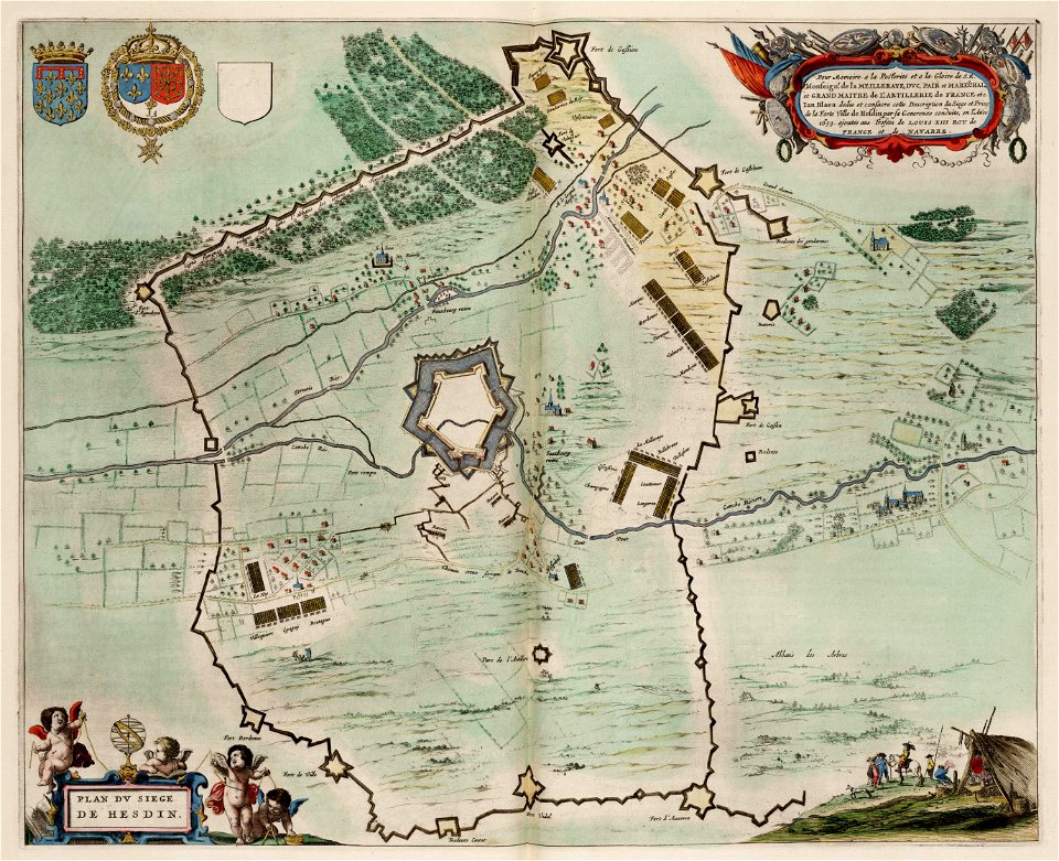
maps of hesdin city walls
circumvallation
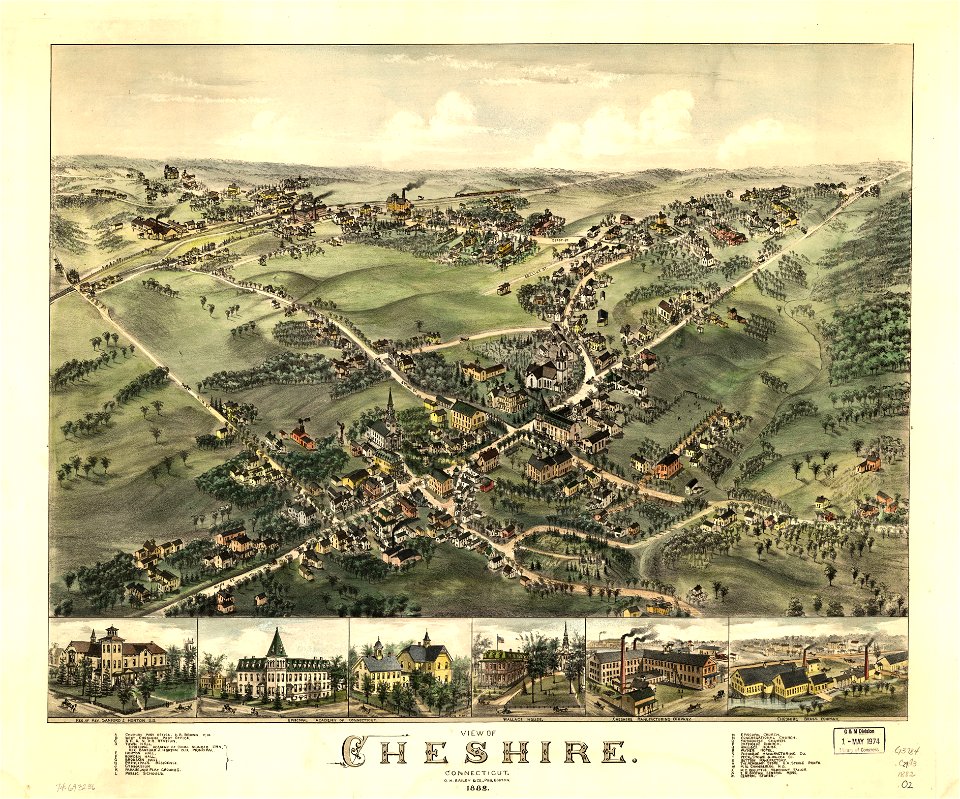
connecticut
cheshire
description of kingdom of georgia
its habits and canons
old maps of new france
maps by coronelli
maps in the library of congress
old maps of florida
volume 6 of le tour du monde
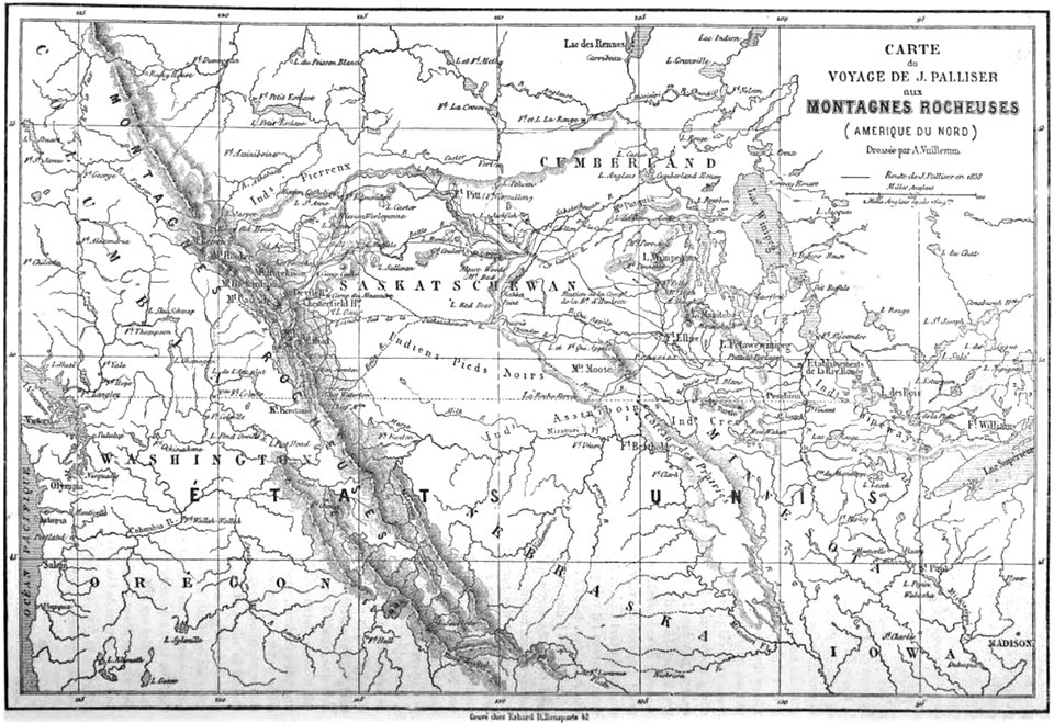
maps by alexandre vuillemin
maps in the library of congress
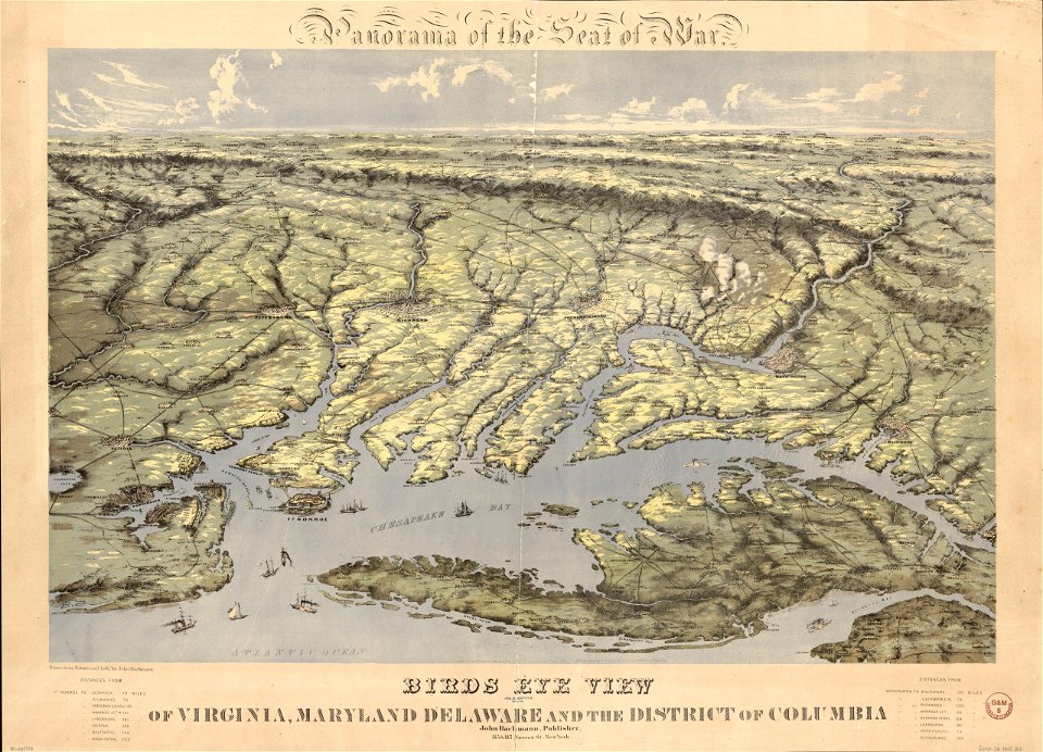
old maps of virginia
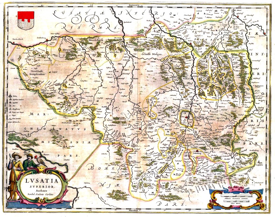
upper lusatia
kwisa
1860s maps of the united states
maps by alexandre vuillemin
copper engravings in the universitätsbibliothek salzburg
maps by abraham ortelius
maps in the library of congress
1886 maps
new york
florida
18th-century maps of slovenia
1758 maps
maps in the library of congress
albert ruger
maps in the library of congress
albert ruger
maps in the library of congress
albert ruger
maps in the library of congress
albert ruger
maps in the library of congress
1867 maps
maps in the library of congress
albert ruger
maps in the library of congress
albert ruger
maps in the library of congress
albert ruger
maps in the library of congress
albert ruger
maps in the library of congress
albert ruger
maps in the library of congress
albert ruger
maps in the library of congress
albert ruger
maps in the library of congress
albert ruger
maps in the library of congress
albert ruger
maps in the library of congress
albert ruger
maps in the library of congress
albert ruger
maps in the library of congress
albert ruger
maps in the library of congress
albert ruger
maps in the library of congress
1882 maps
maps by brockhaus
1937 in paris
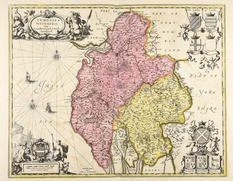
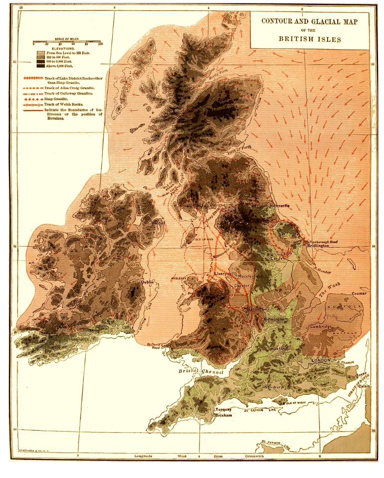
old maps of the british isles
1890s maps
maps in the library of congress
old maps of pennsylvania
maps by frederick de wit
copper engraving
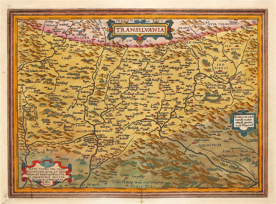
1575 maps of transylvania
johannes sambucus
maps in the library of congress
1892 maps
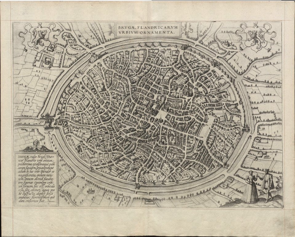
maps of bruges by braun & hogenberg
details of müller's map of bohemia
maps of přibyslav
maps with human or animal shapes
maps by sebastian münster
1580s maps of africa
cartoons of the united states
unidentified maps
5901 - 6000 of 357,566
Next page
/ 3576