Log in
All resources
Create a design
Tools
357,629 Free Images of Maps
maps in the library of congress
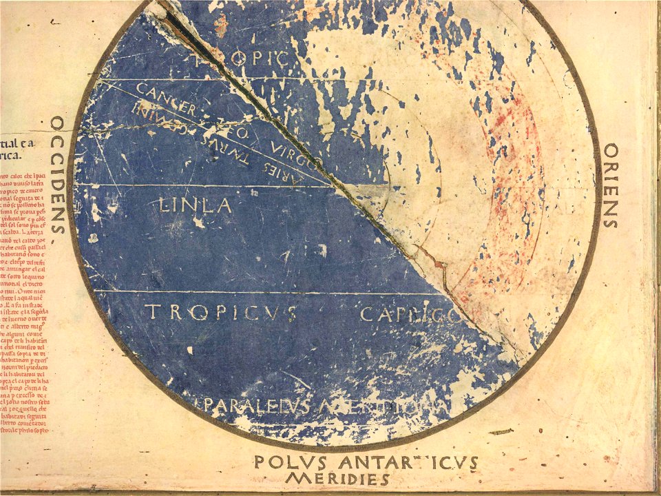
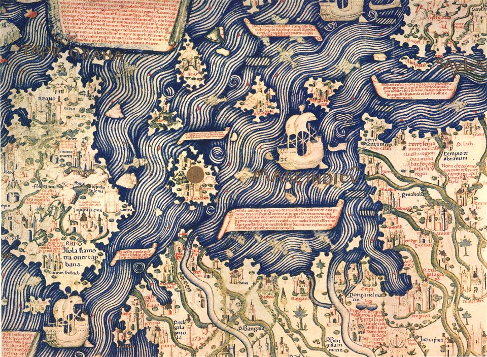
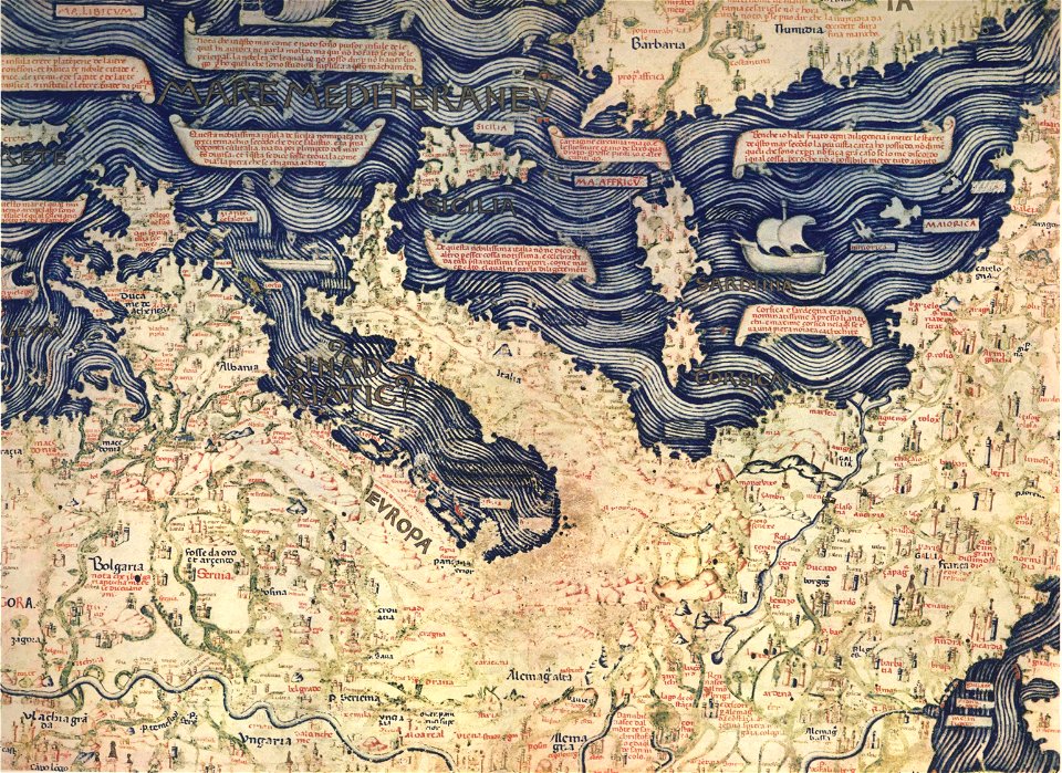
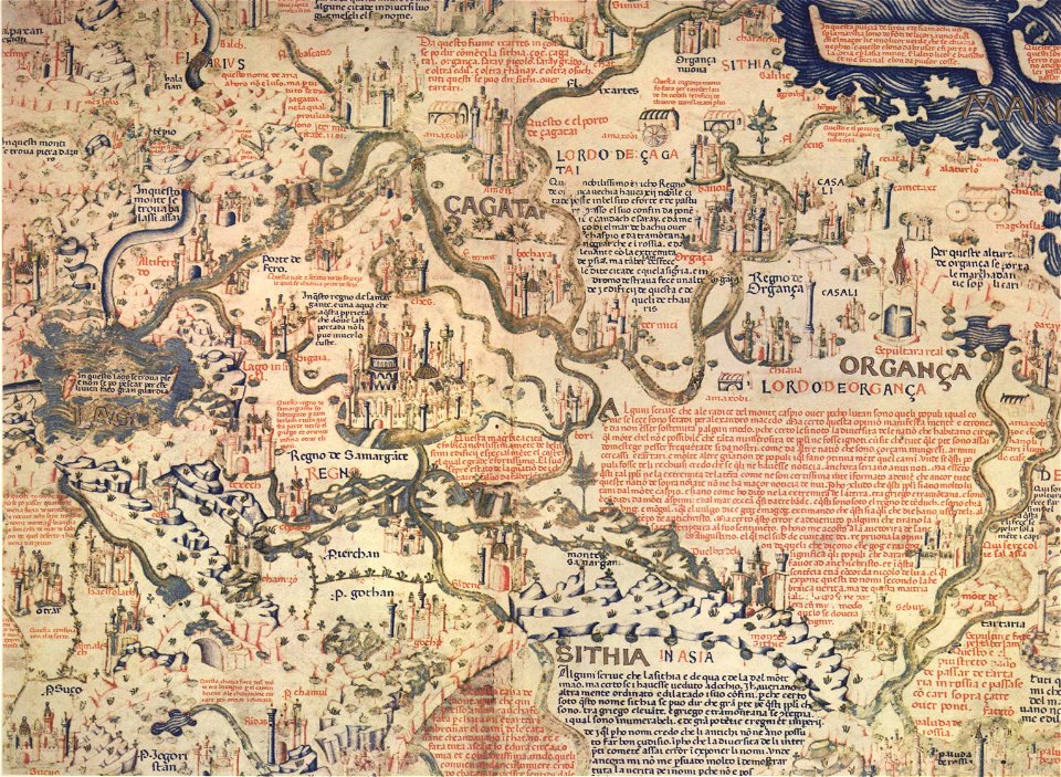
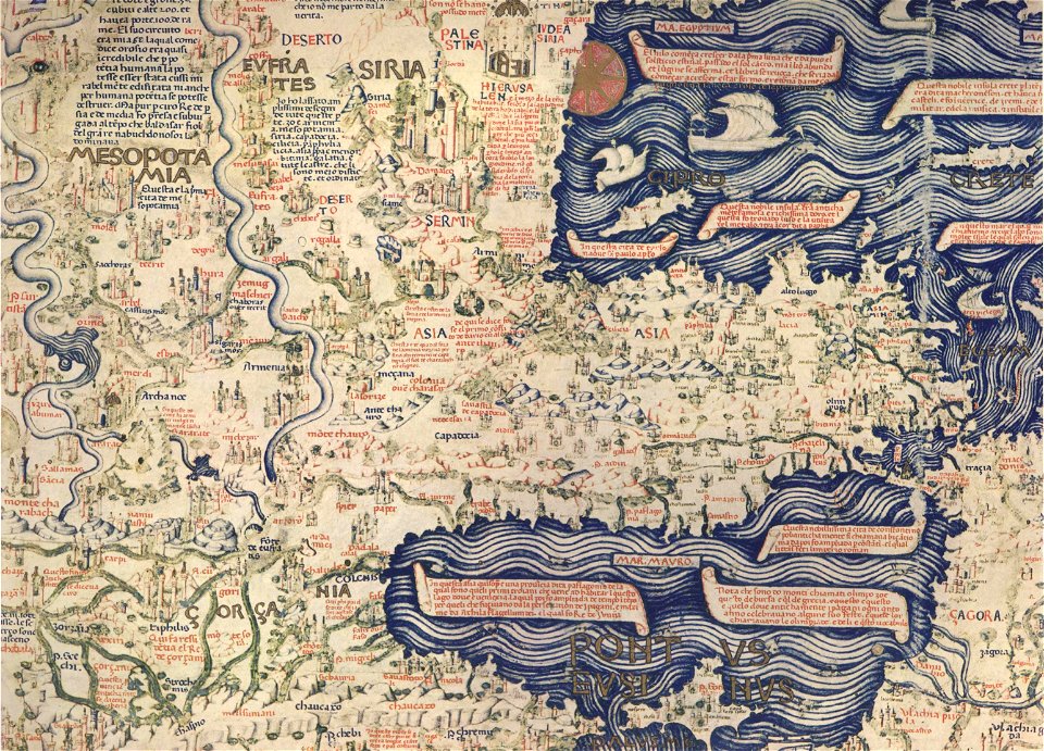
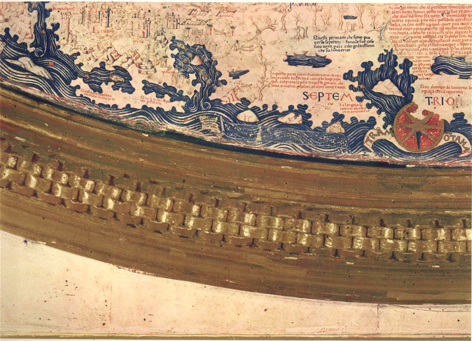
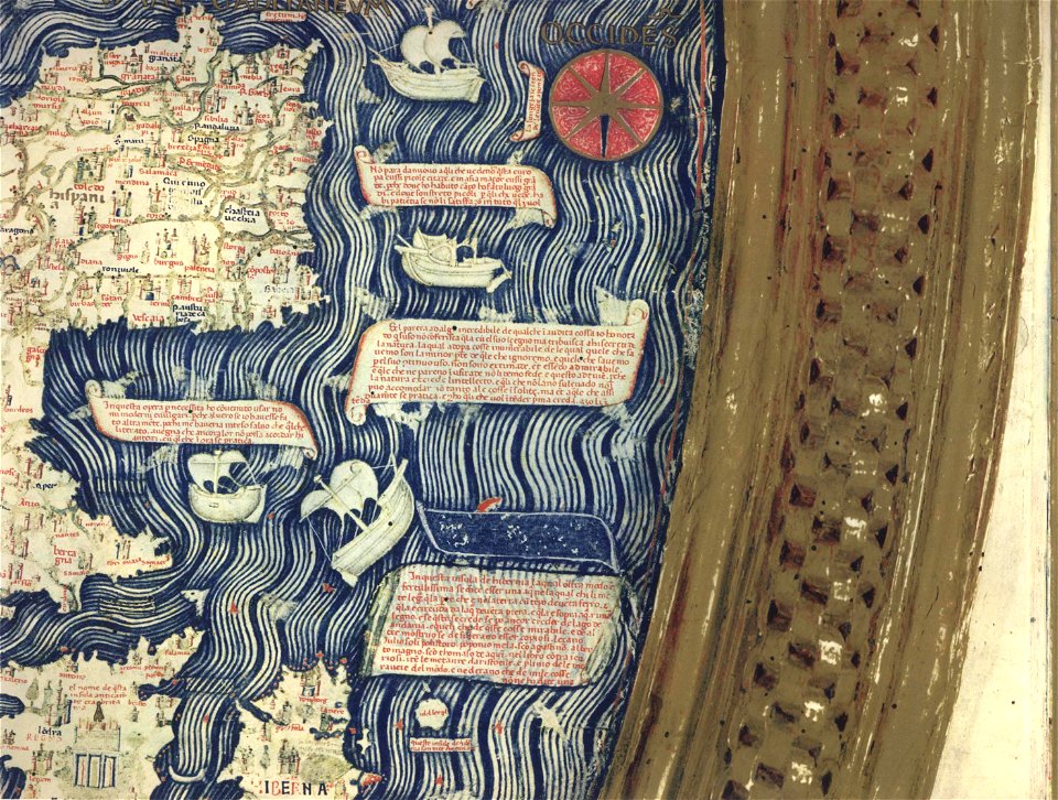
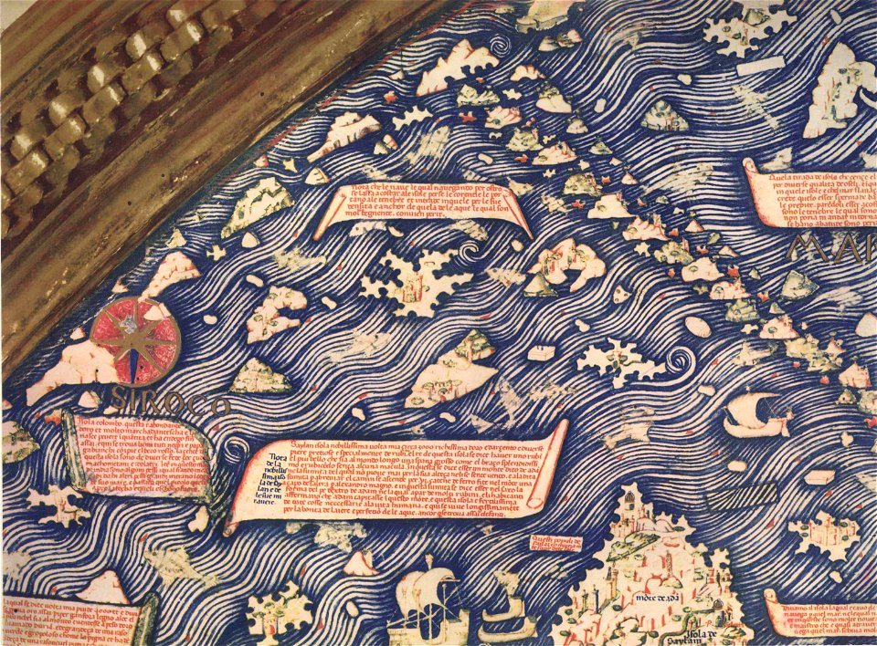
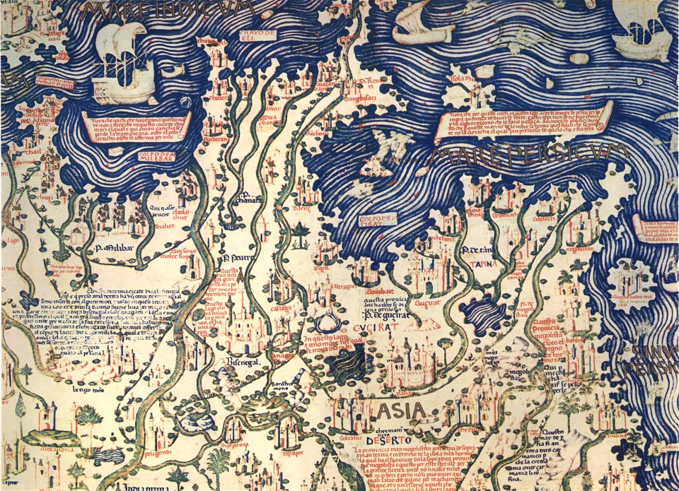
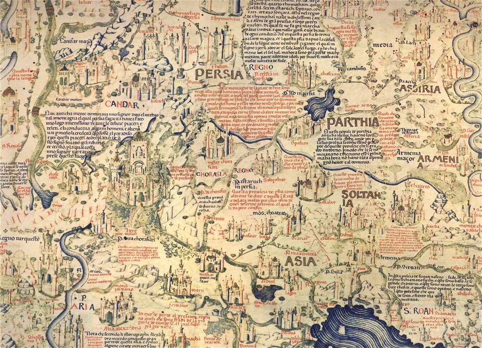
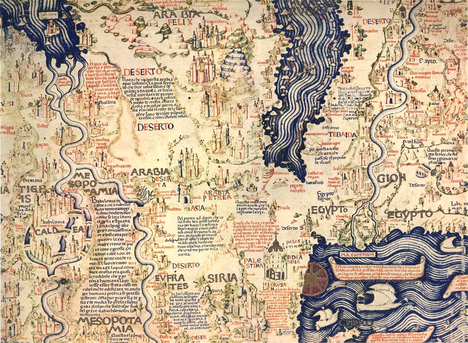
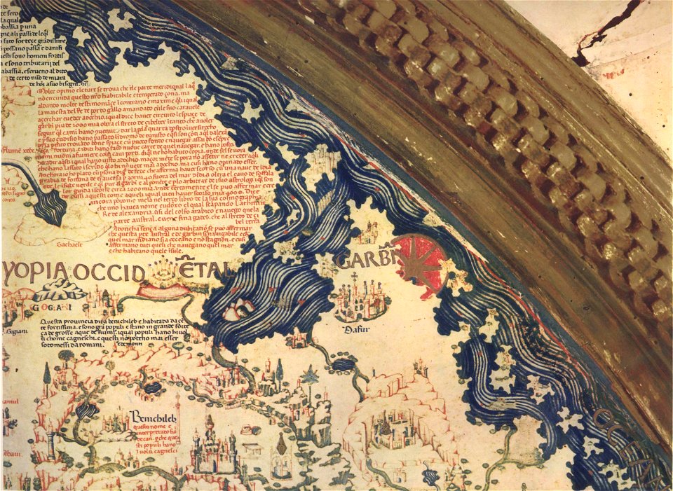
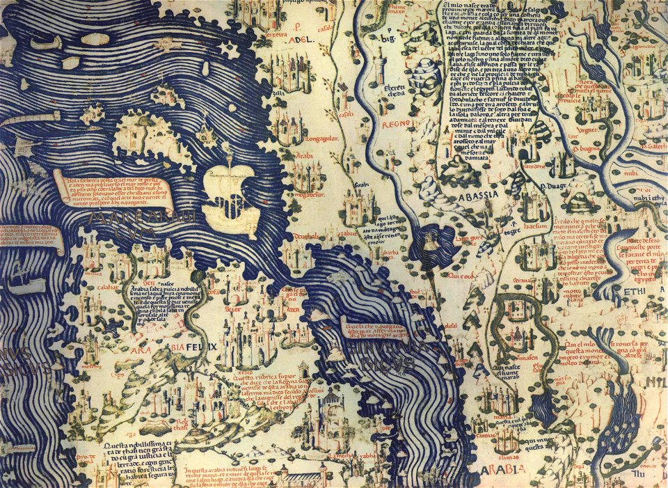
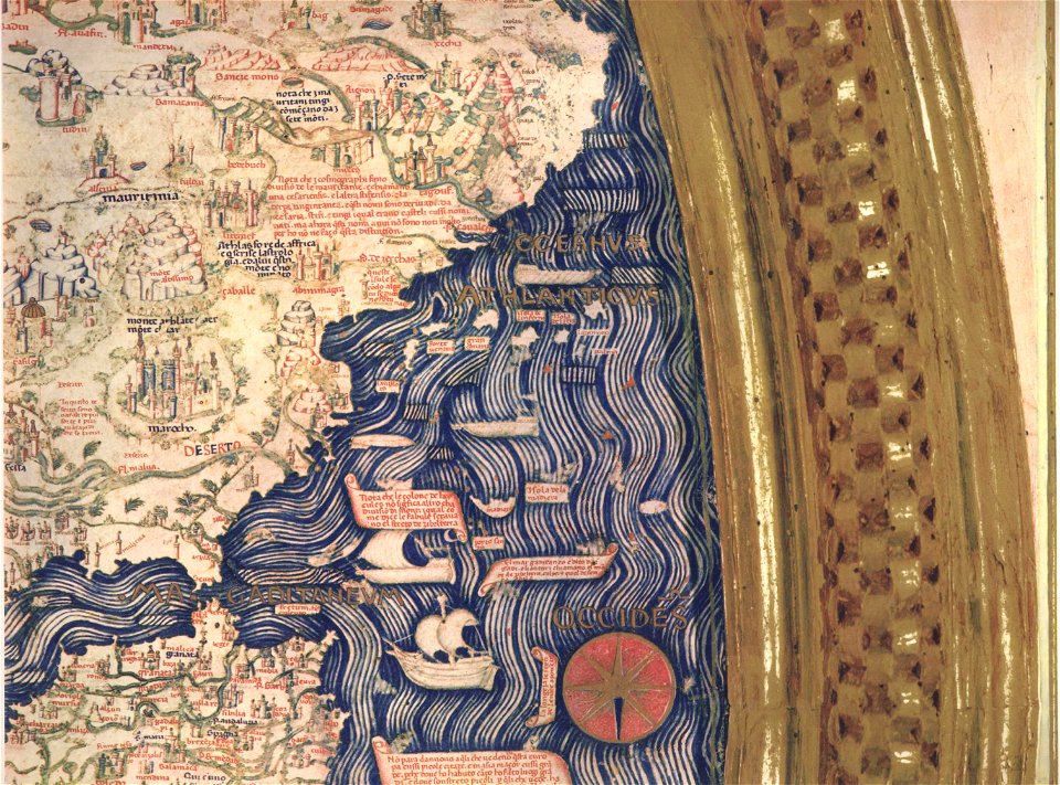
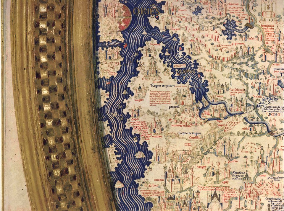
fra mauro map by sector
description de l'universe
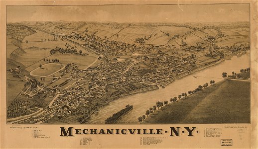
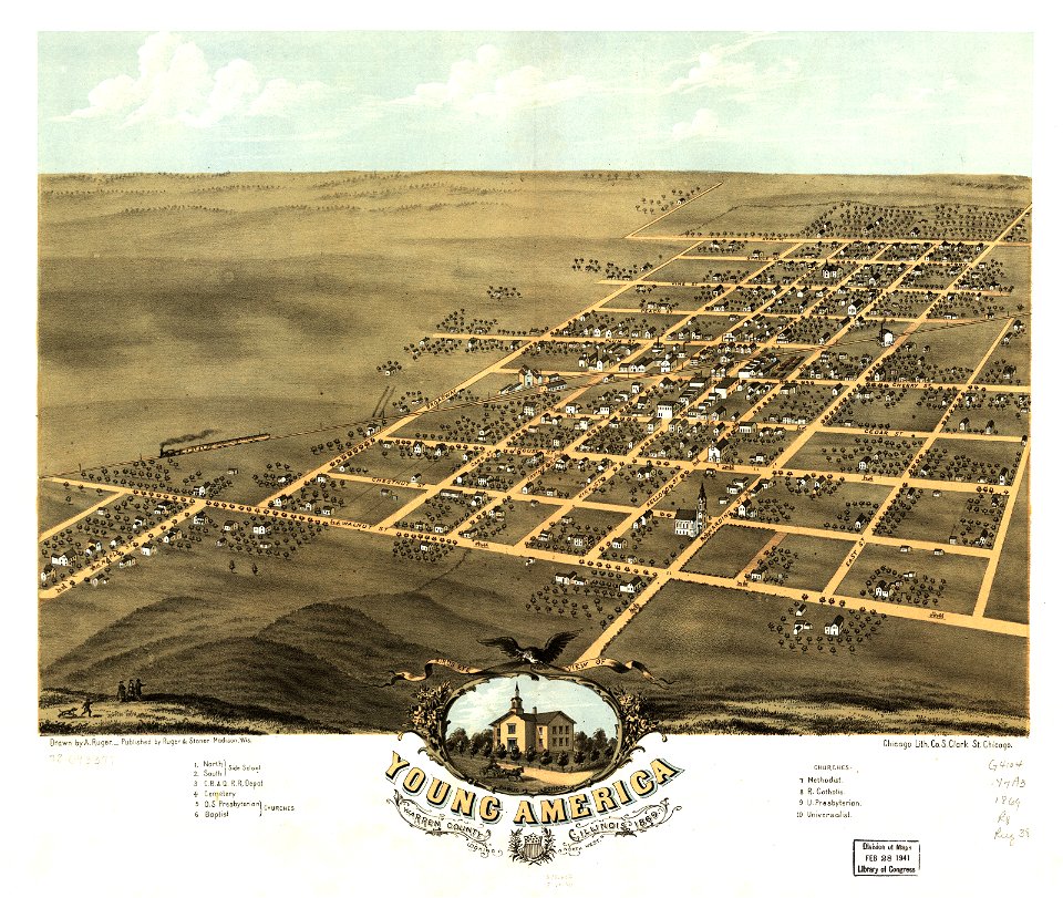
albert ruger
1869 maps
old maps of missouri
1885 maps
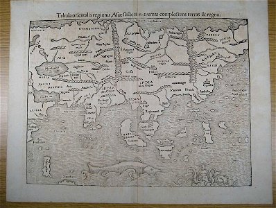
illustrations of cosmographia (münster)
old maps of illinois
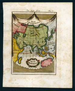
old maps of asia
maps in the library of congress
1885 maps
maps in the library of congress
1889 maps
description de l'universe
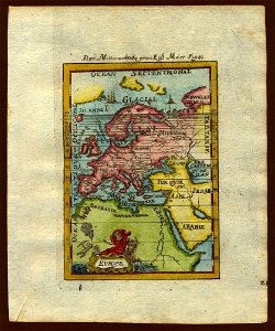
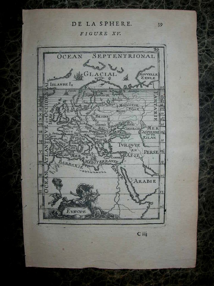
1719 maps of europe
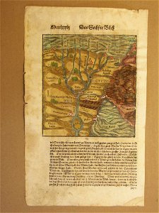
illustrations of cosmographia (münster)
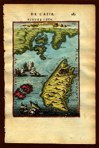
old maps of asia
illustrations of cosmographia (münster)
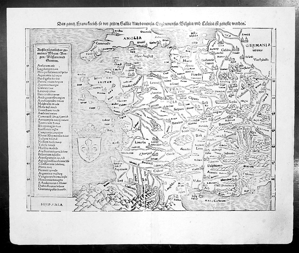
old maps of france
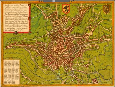
map of ghent by braun & hogenberg
description de l'universe
old maps of asia
description de l'universe
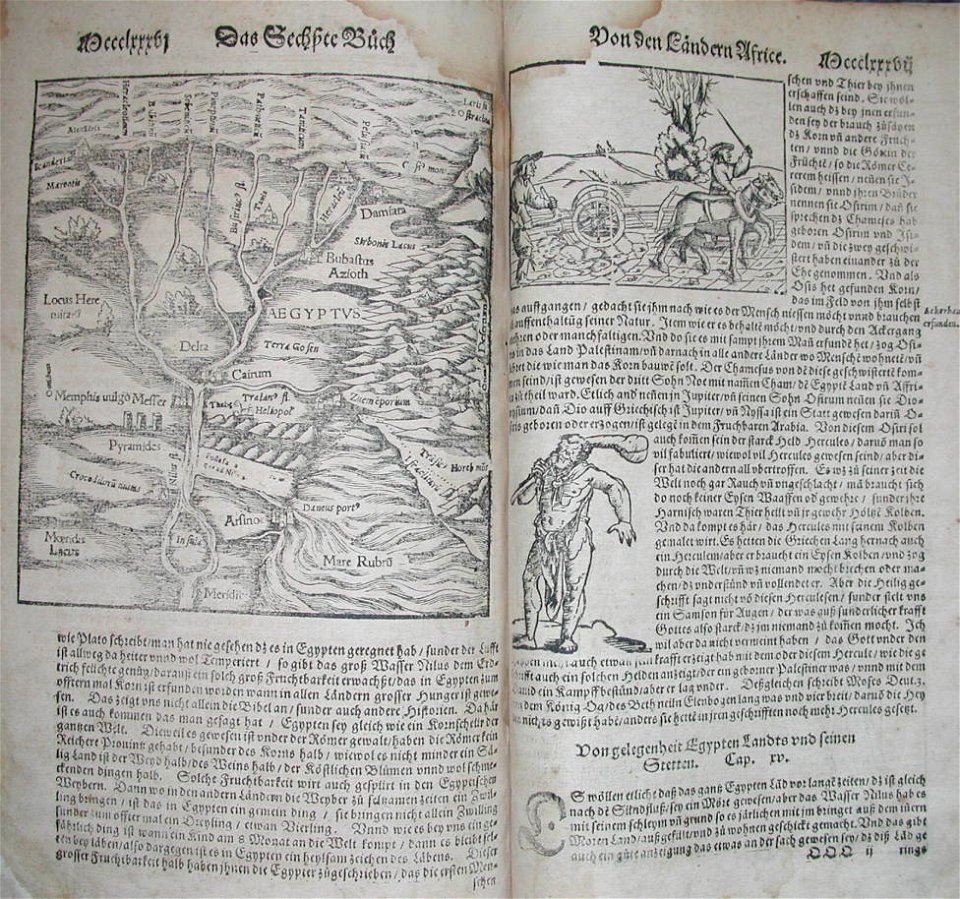
1680s maps of egypt
description de l'universe
1683 maps of europe
description de l'universe
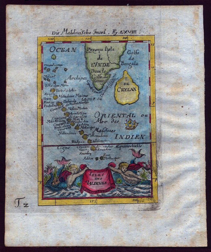
old maps of the maldives
description de l'universe
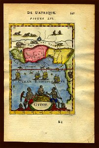
old maps of africa
description de l'universe
old maps of iceland
description de l'universe
old maps of virginia
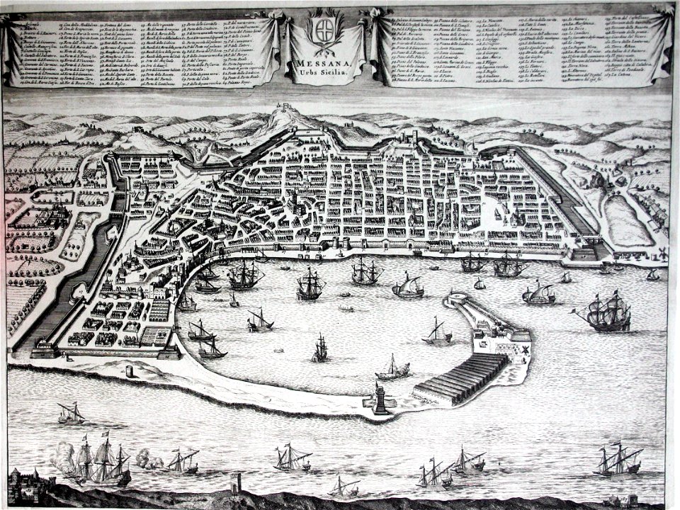
old maps of messina
messina
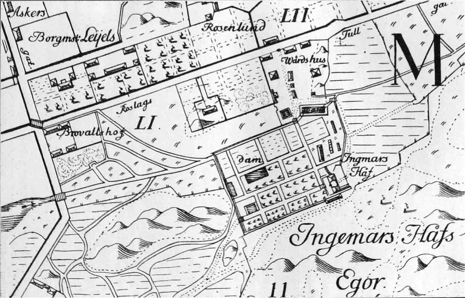
maps of stockholm by petrus tillaeus
ingemarshof
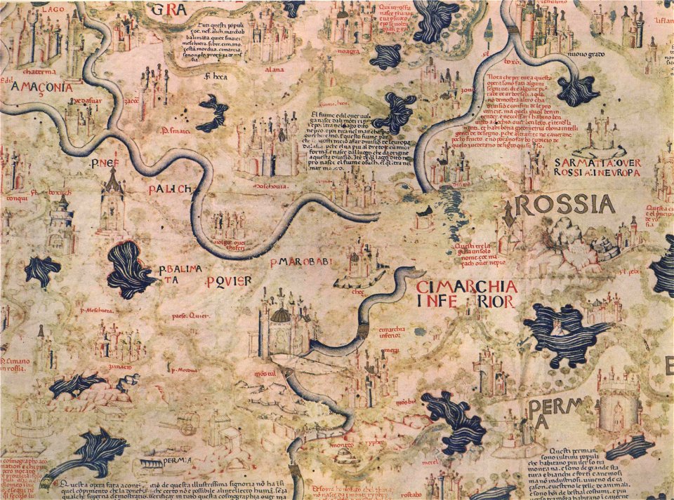
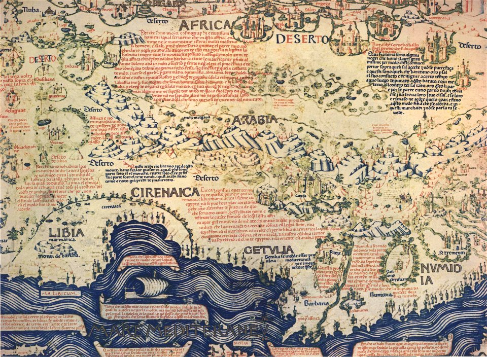
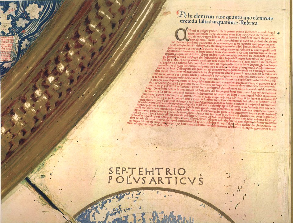
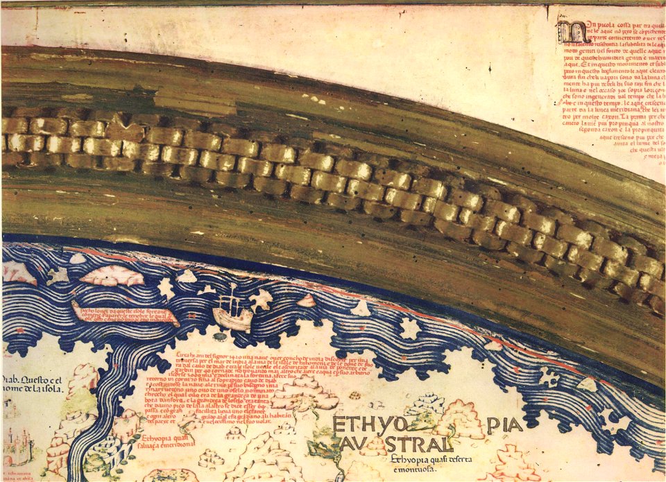
fra mauro map by sector
fra mauro map by sector
fra mauro map by sector
fra mauro map by sector
fra mauro map by sector
fra mauro map by sector
fra mauro map by sector
fra mauro map by sector
fra mauro map by sector
fra mauro map by sector
fra mauro map by sector
fra mauro map by sector
fra mauro map by sector
fra mauro map by sector
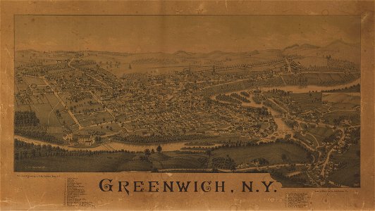
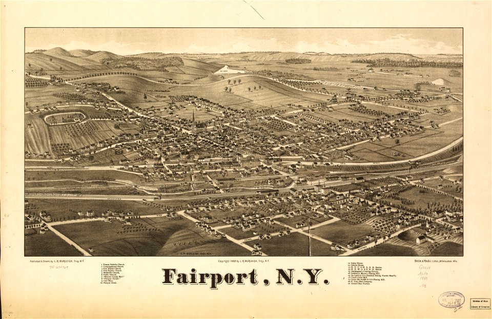
maps in the library of congress
1885 maps
maps in the library of congress
1892 maps
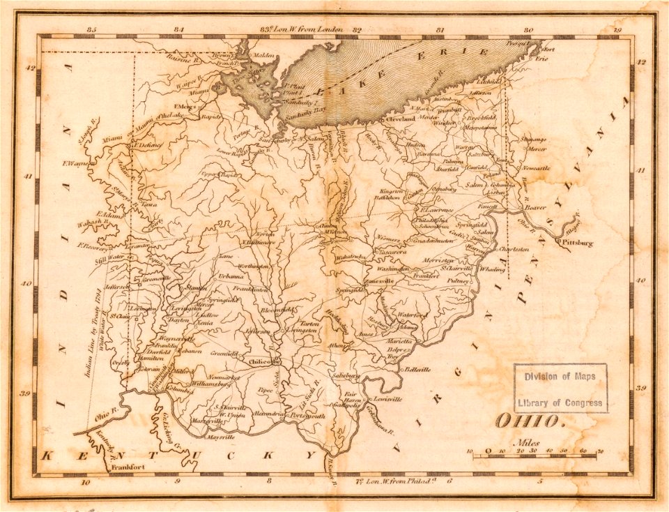
maps in the library of congress
1814 maps of ohio
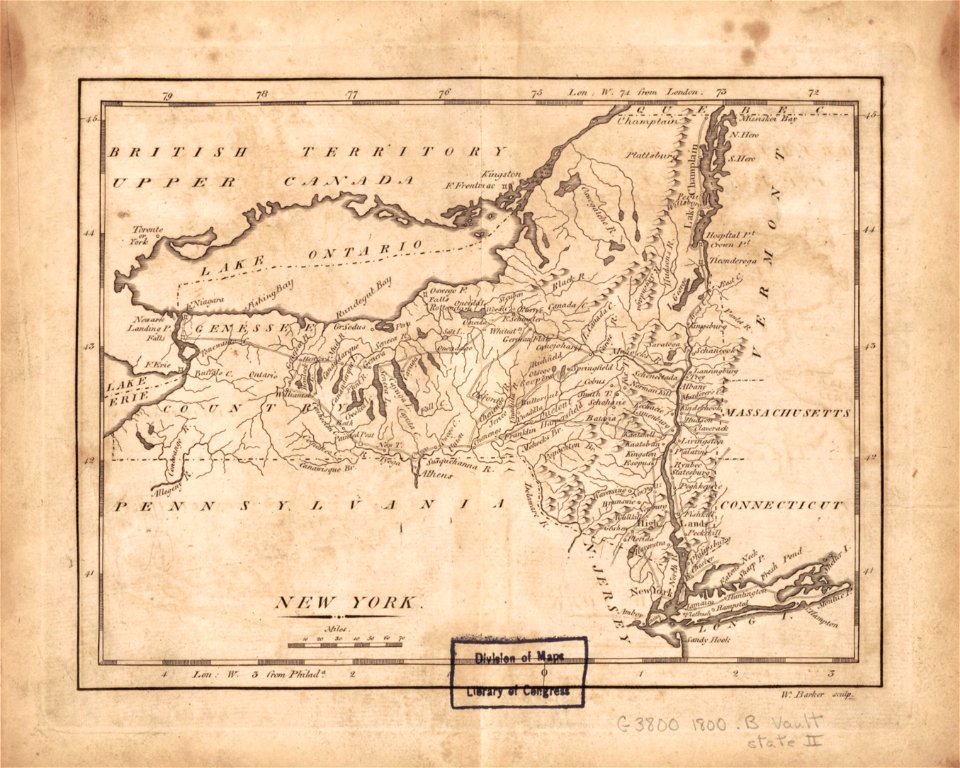
maps in the library of congress
1801 maps
maps in the library of congress
1885 maps
maps in the library of congress
1889 maps
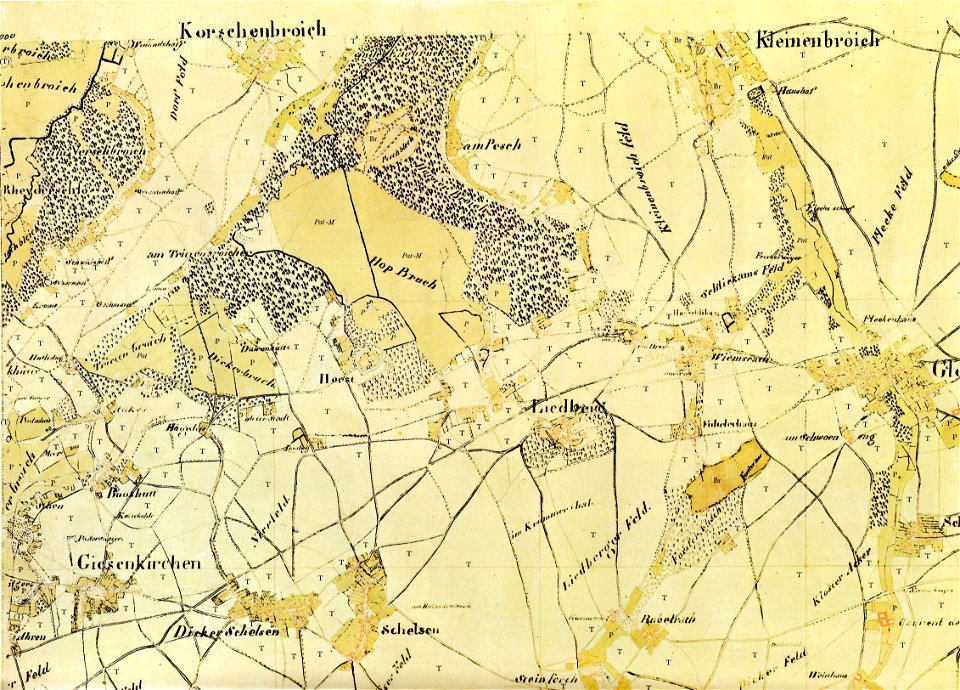
old maps of mönchengladbach
tranchot maps snippets
old maps of mönchengladbach
tranchot maps snippets
illustrations of cosmographia (münster)
1570s maps of egypt
maps in the library of congress
1885 maps
maps in the library of congress
1892 maps
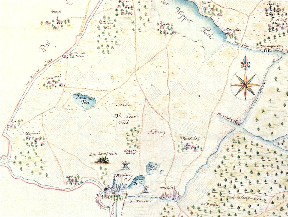
maps of wolfsburg
maps of vorsfelde
maps in the library of congress
1885 maps
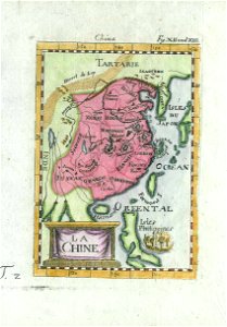
description de l'universe
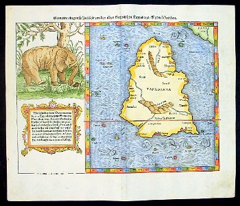
old maps of china
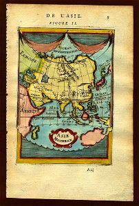
description de l'universe
old maps of asia
description de l'universe
1683 maps of africa
illustrations of cosmographia (münster)
1580s maps of egypt
map of ghent by braun & hogenberg
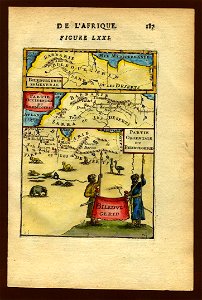
description de l'universe
1683 maps of africa
maps by willem and johannes blaeu
maps of montfoort
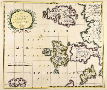
old maps of the peloponnese
maps by coronelli
maps in the library of congress
1880 maps
description de l'universe
old maps of rhodes
illustrations of cosmographia (münster)
old maps of india
description de l'universe
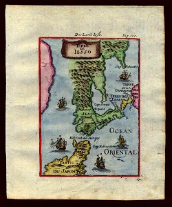
old maps of japan
description de l'universe
1719 maps of iran
description de l'universe
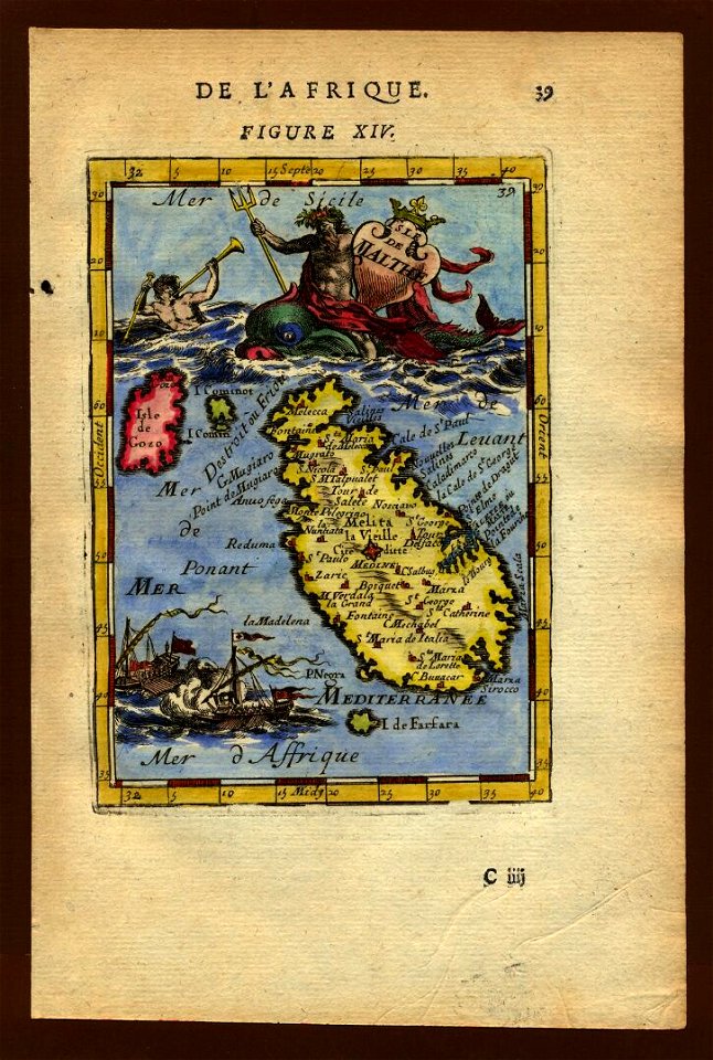
old maps of malta
description de l'universe
old map
maps in the library of congress
1885 maps
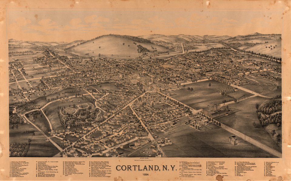
maps in the library of congress
1894 maps
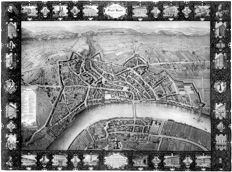
old maps of switzerland
maps of basel
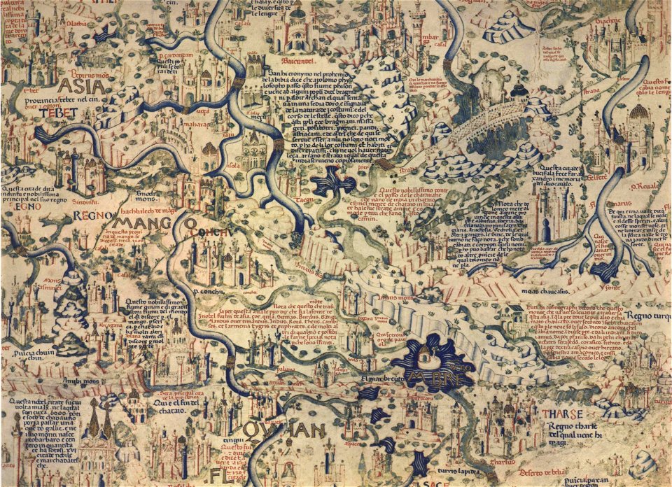
fra mauro map by sector
fra mauro map by sector
fra mauro map by sector
fra mauro map by sector
fra mauro map by sector
fra mauro map by sector
fra mauro map by sector
fra mauro map by sector
fra mauro map by sector
fra mauro map by sector
fra mauro map by sector
fra mauro map by sector
fra mauro map by sector
fra mauro map by sector
fra mauro map by sector
maps in the library of congress
1886 maps
countries
maps
hatched coats of arms
johann baptist homann
johann baptist homann
latin-language maps
maps made in the 18th century
johann baptist homann
historical images of arecaceae
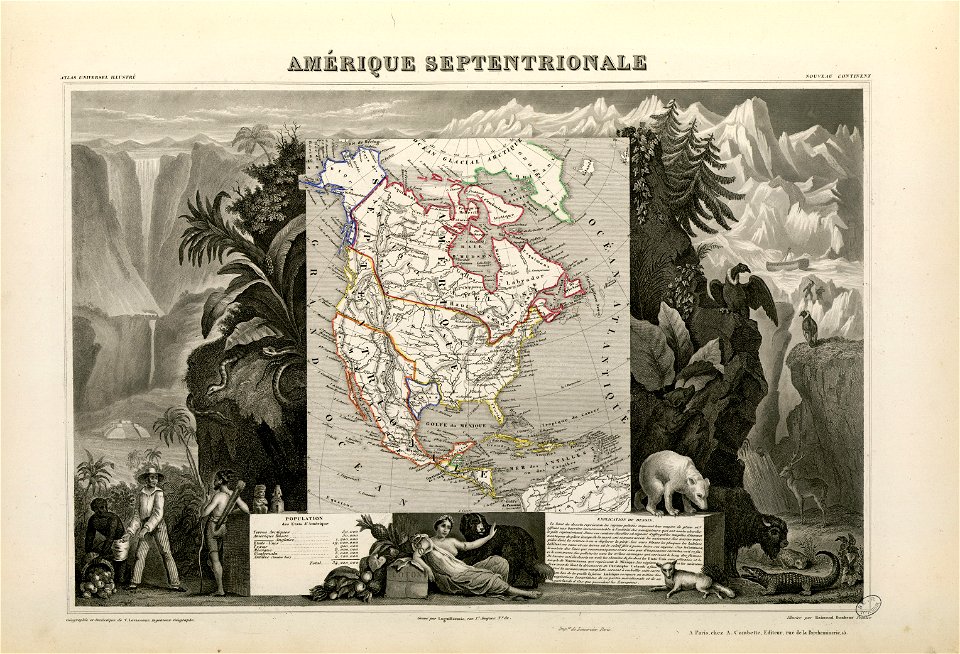
old maps of north america
maps made in the 17th century
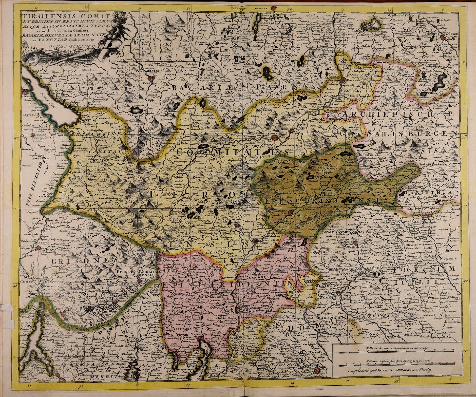
old maps of trentino
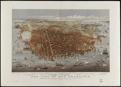
bird's eye view maps of california
san francisco in art
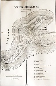
illustrations from the mysterious island by jules férat
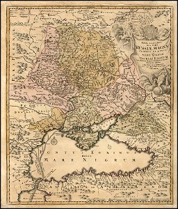
russian-language maps
maps in the library of congress
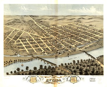
old maps of pennsylvania
maps in the library of congress
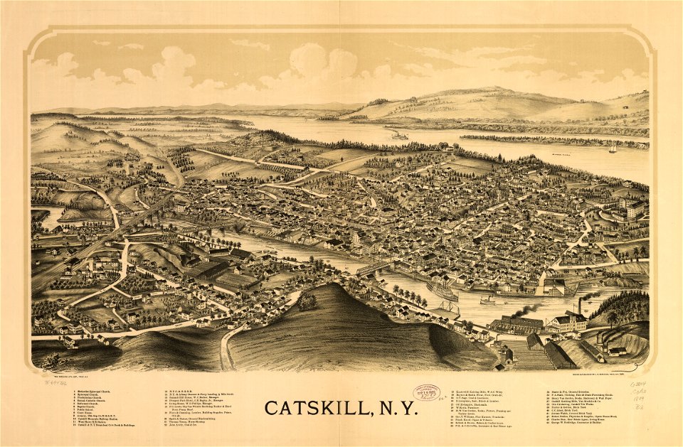
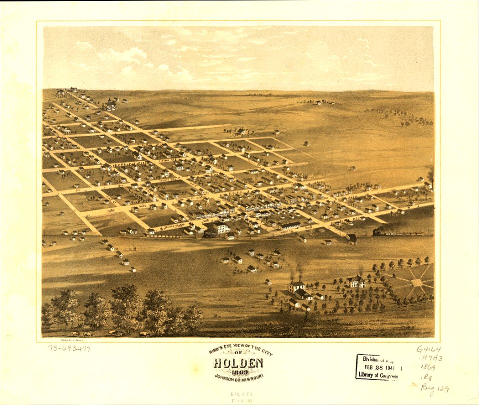
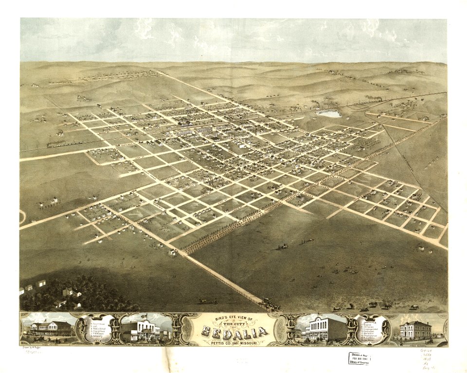
albert ruger
maps in the library of congress
albert ruger
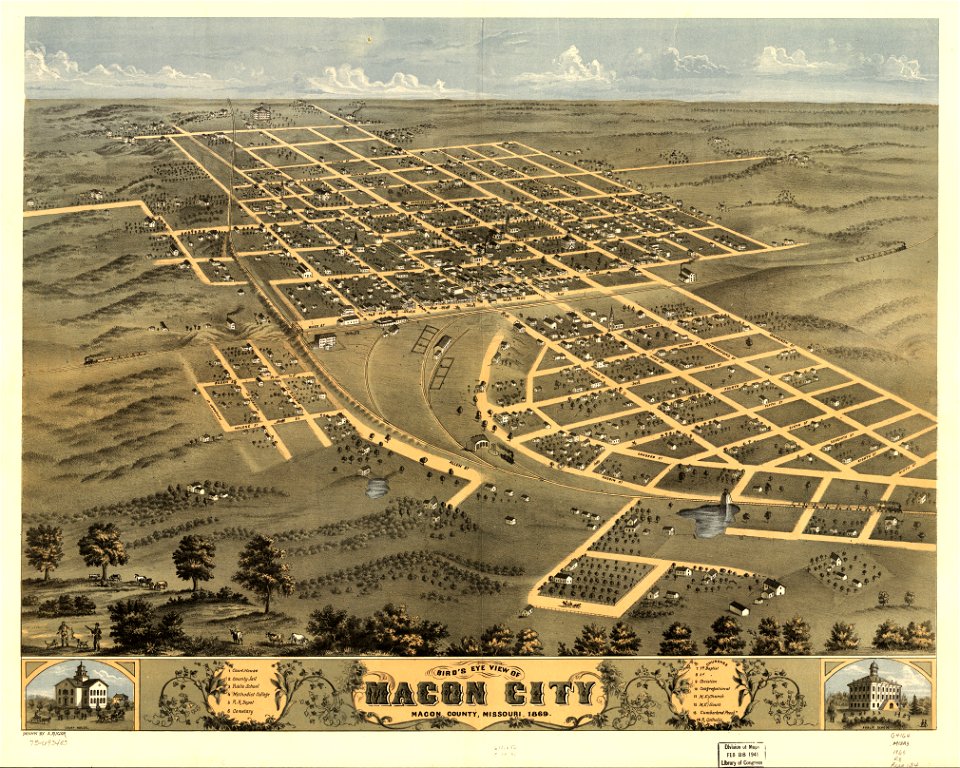
maps in the library of congress
albert ruger
maps in the library of congress
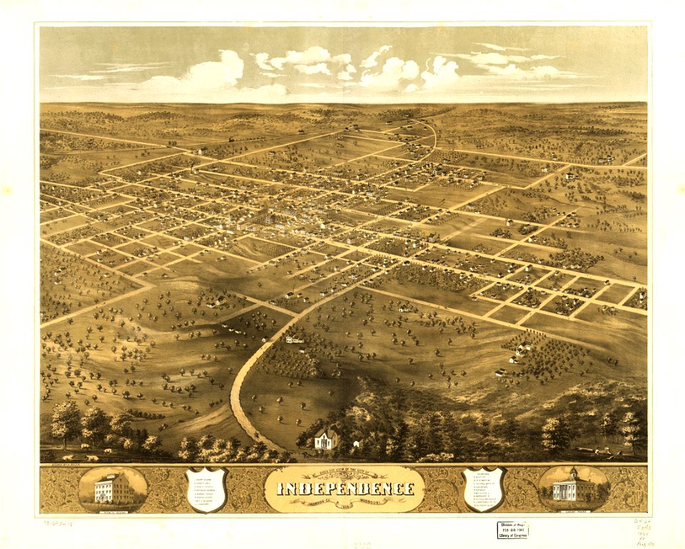
albert ruger
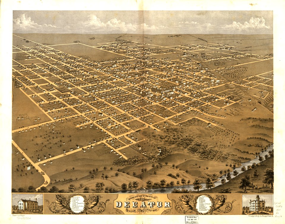
maps in the library of congress
albert ruger
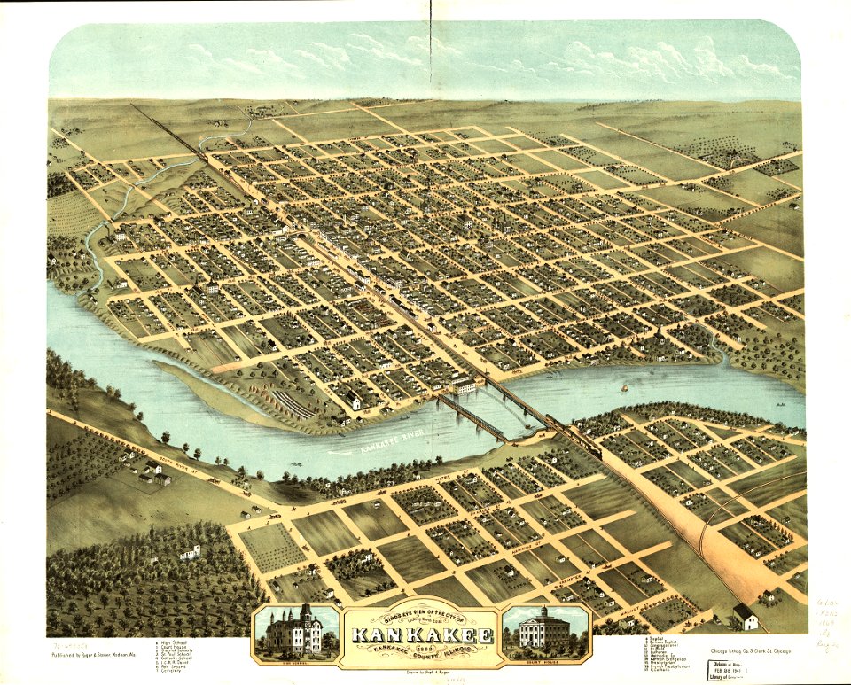
maps in the library of congress
albert ruger
maps in the library of congress
albert ruger
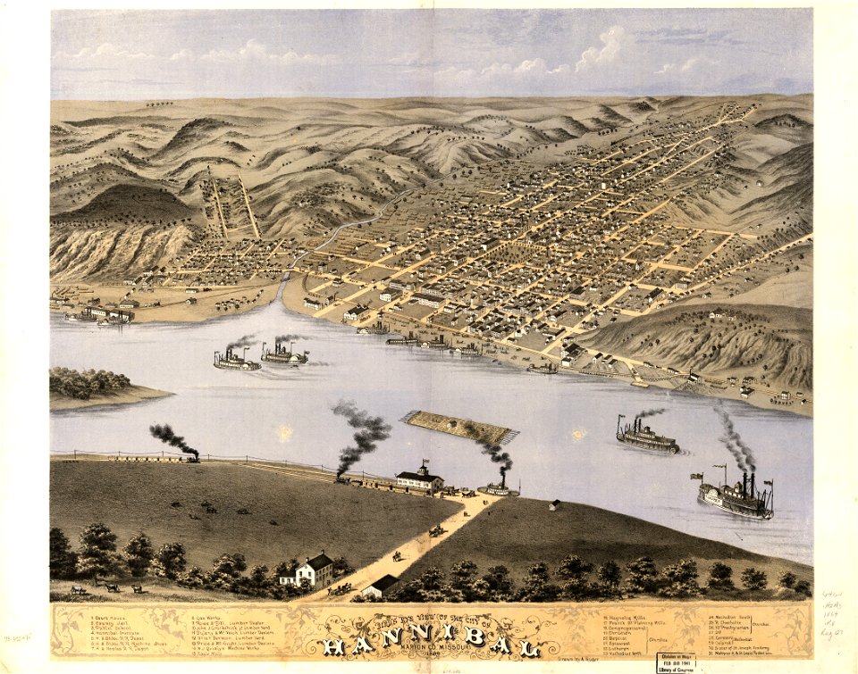
maps in the library of congress
albert ruger
maps in the library of congress
albert ruger
maps in the library of congress
albert ruger
maps in the library of congress
albert ruger
maps in the library of congress
albert ruger
maps in the library of congress
albert ruger
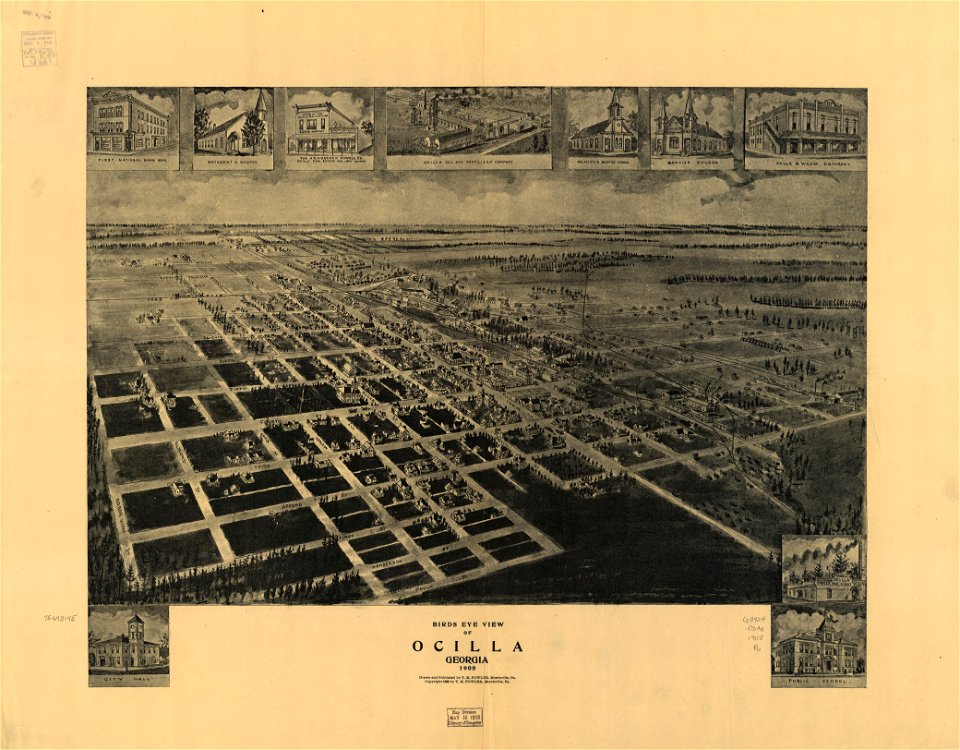
1908 maps
georgia
maps in the library of congress
albert ruger
6001 - 6100 of 357,629
Next page
/ 3577