Log in
All resources
Create a design
Tools
357,629 Free Images of Maps
maps in the library of congress
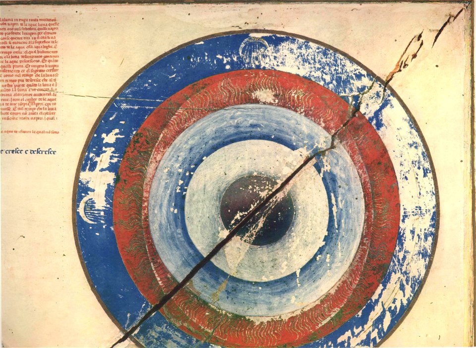
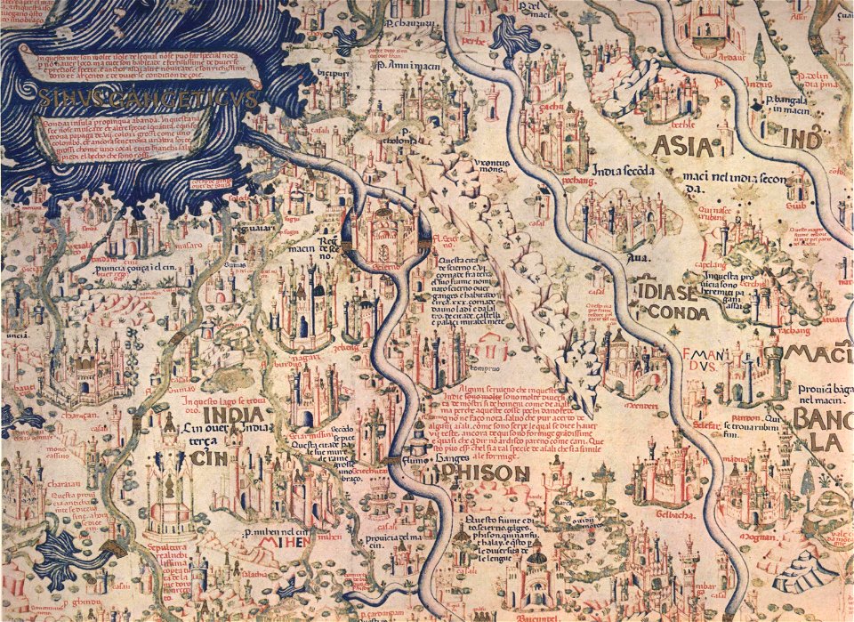
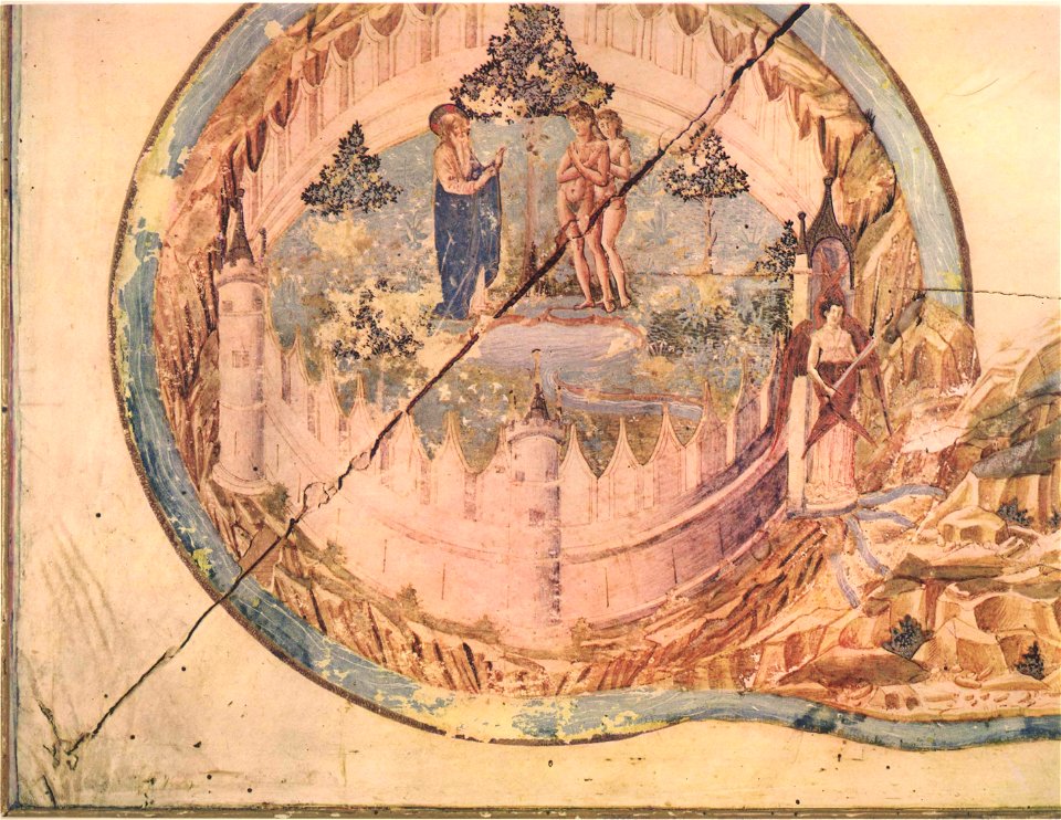
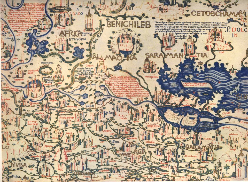
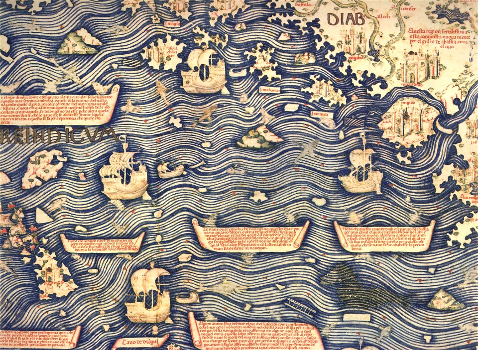
fra mauro map by sector
description de l'universe
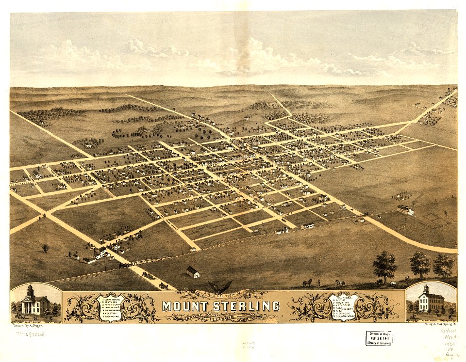
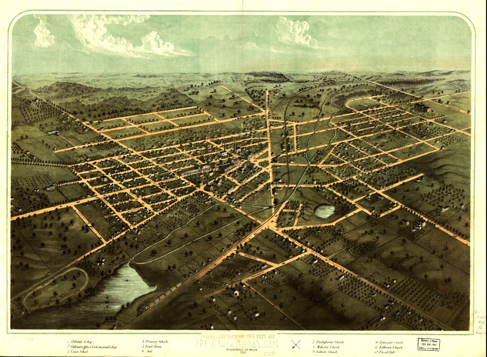
albert ruger
maps made in the 17th century
1885 maps
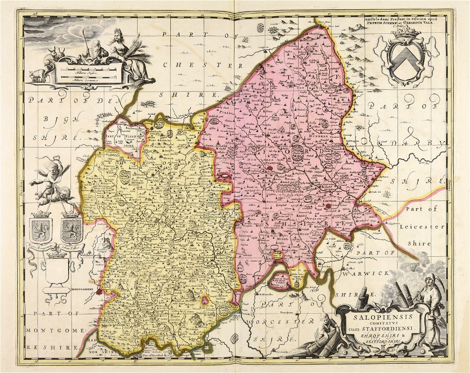
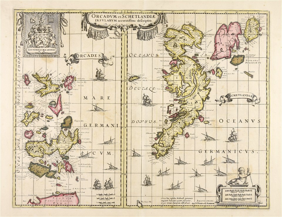
gerard valck
maps by pieter schenk (i)
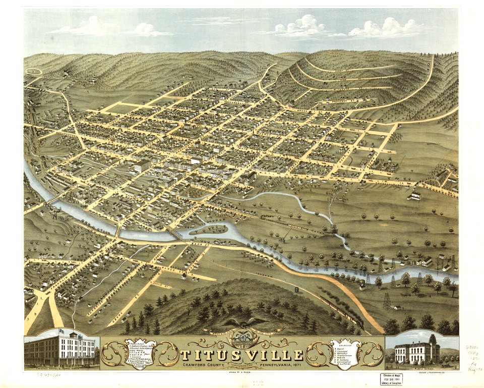
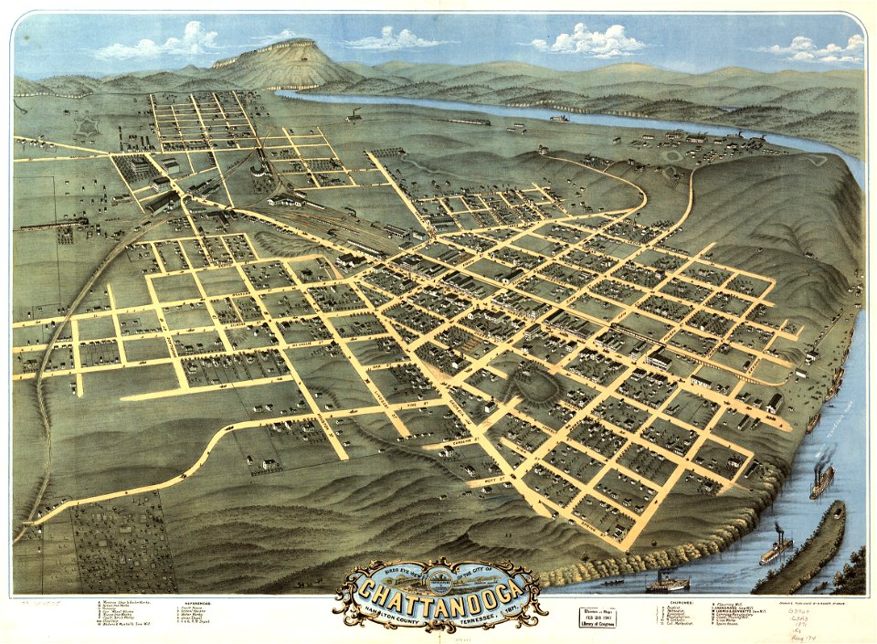
1871 maps
1892 maps
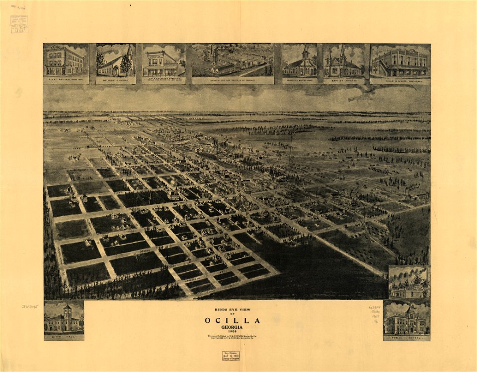
1908 maps
georgia
maps in the library of congress
old maps of pennsylvania
maps in the library of congress
old maps of pennsylvania
maps in the library of congress
albert ruger
maps in the library of congress
albert ruger
maps in the library of congress
albert ruger
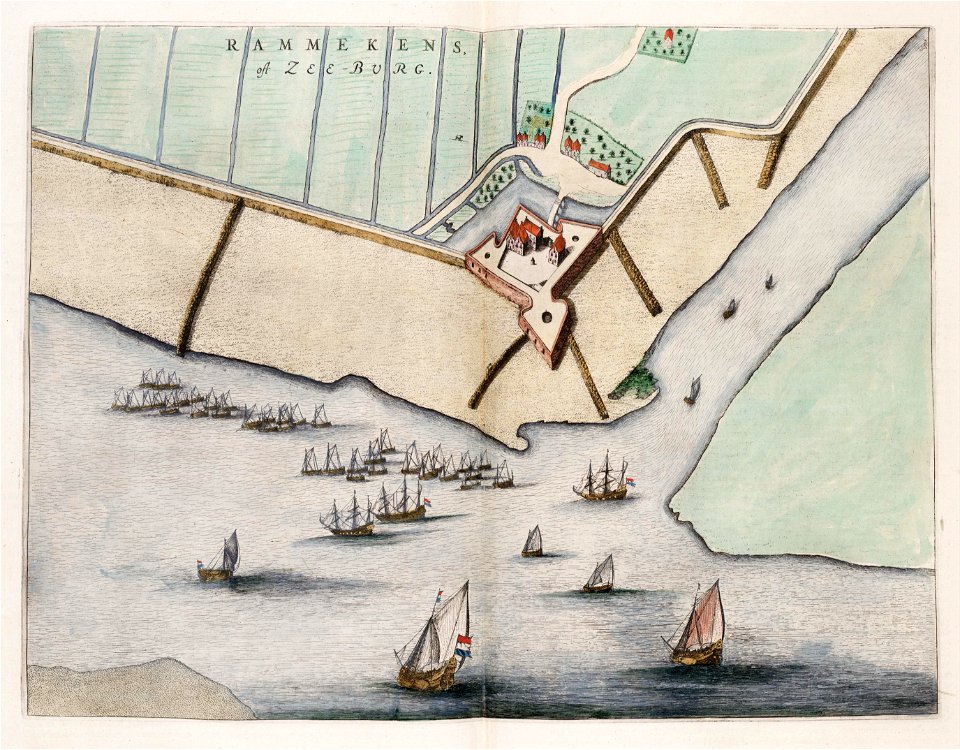
maps by willem and johannes blaeu
old maps of zeeland
maps in the library of congress
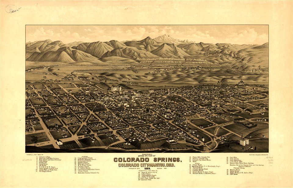
1882 maps
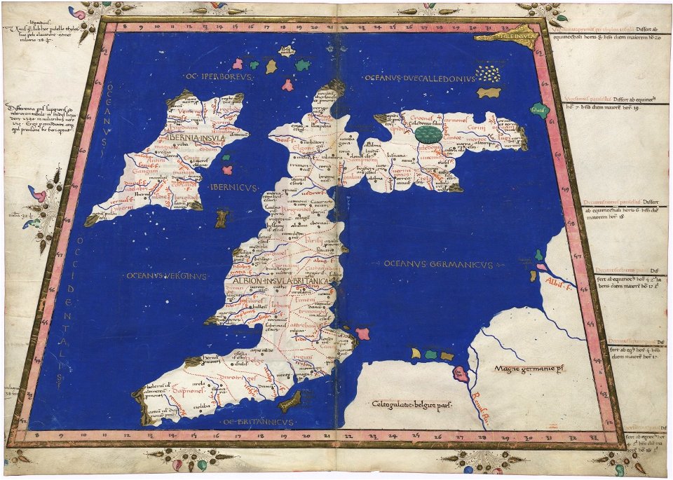
cosmographia claudii ptolomaei alexandrini
latin-language maps
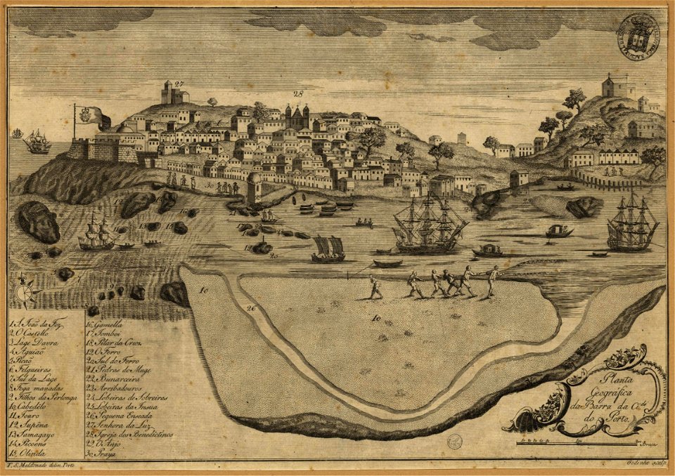
1780s maps of portugal
1789 maps
images from the john carter brown library
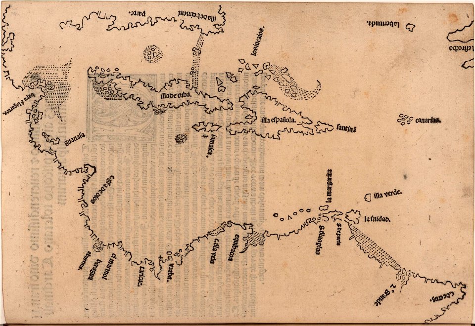
1510s maps of the caribbean
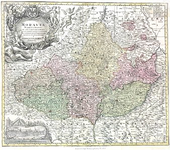
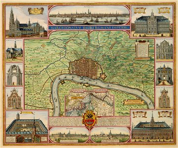
margraviate of moravia (1628-1782)
maps by matthäus seutter
volume 7 of le tour du monde
1860s maps of palestine
small atlas of the russian empire (1796)
old maps of viceroyalty of the caucasus
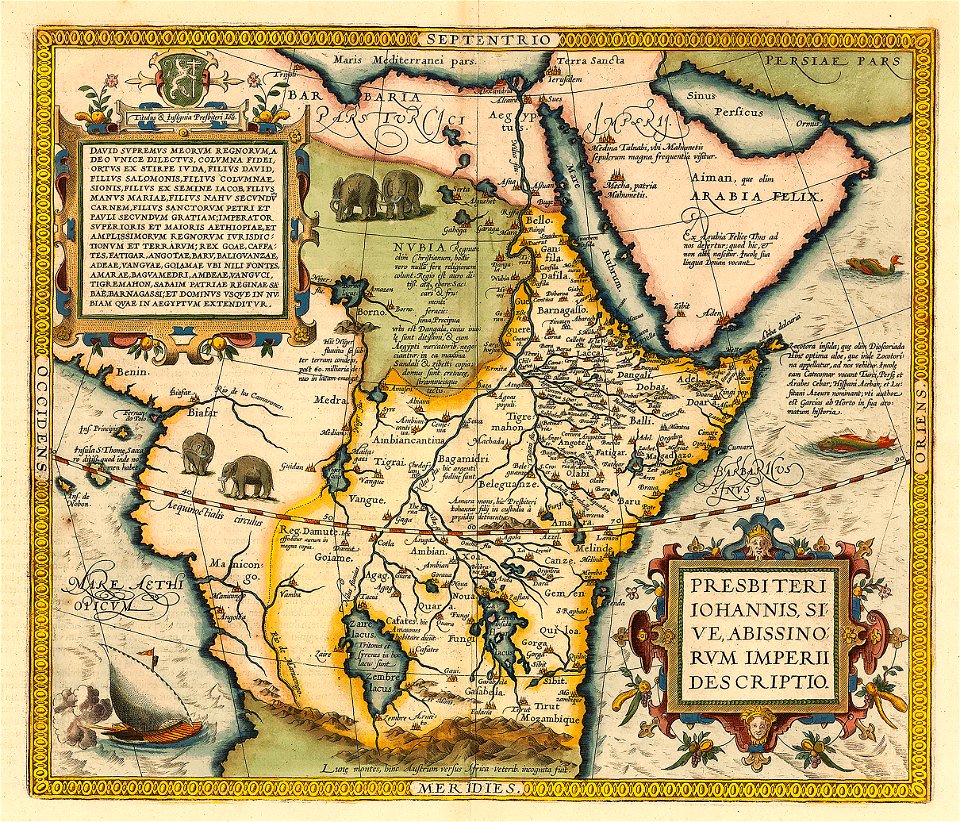
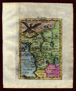
emblem of ethiopia
prester john
maps in the library of congress
1900 maps
atlante veneto (raremaps.com) volume 2
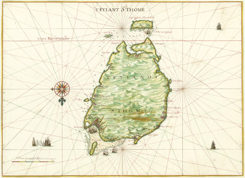
bermuda
maps in the library of congress
1882 maps
maps in the library of congress
albert ruger
maps in the library of congress
albert ruger
pages with isbn errors
1715 maps
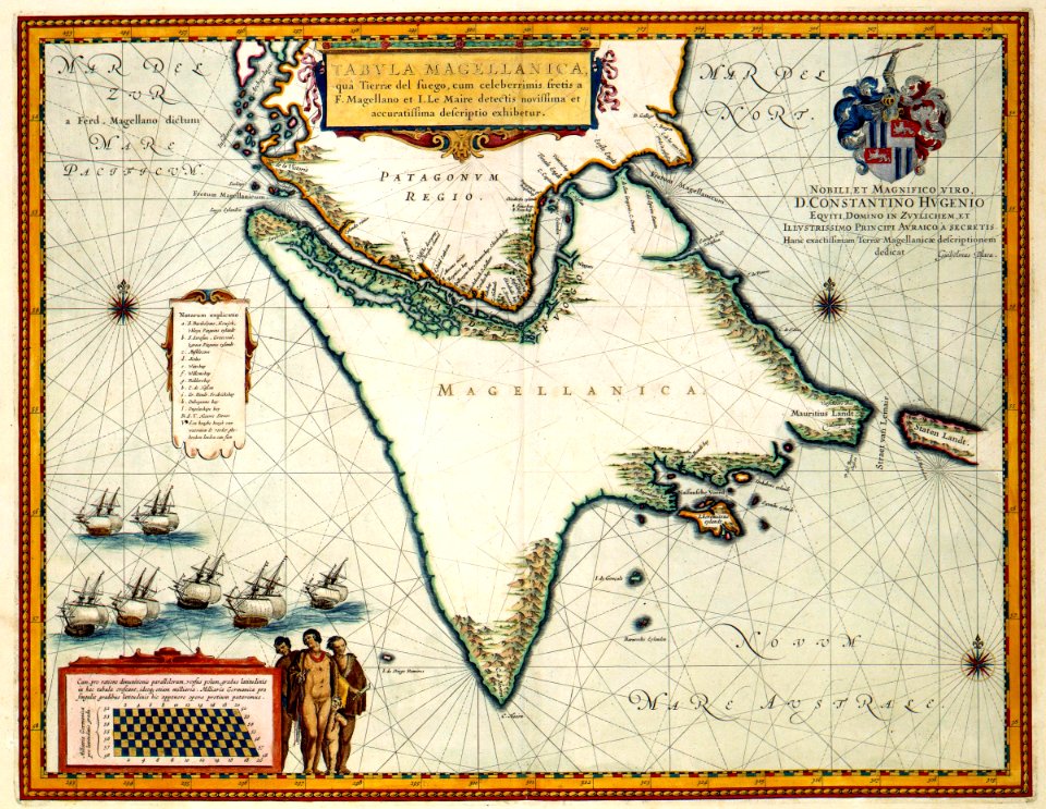
maps of the west-indische compagnie
1665
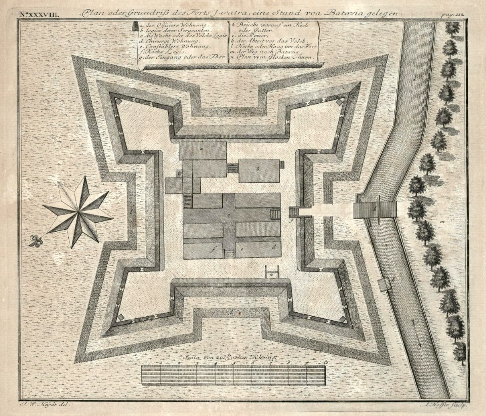
18th-century maps of indonesia
1744
maps by willem and johannes blaeu
1635 maps
maps in the library of congress
old maps of florida
maps
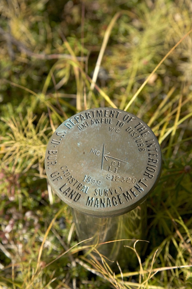
gps
maps in the library of congress
1892 maps
description de l'universe
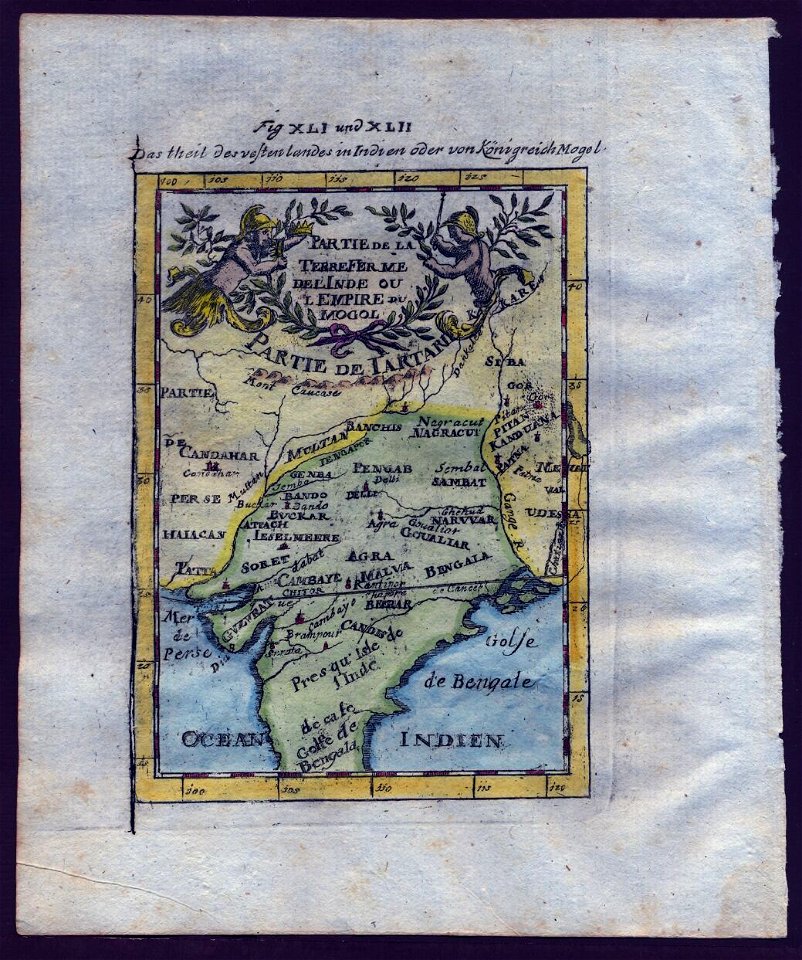
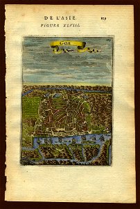
old maps of goa
description de l'universe
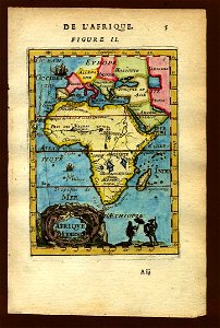
1683 maps of africa
maps by jacob van deventer
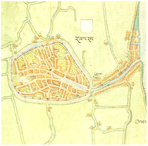
old maps of zierikzee
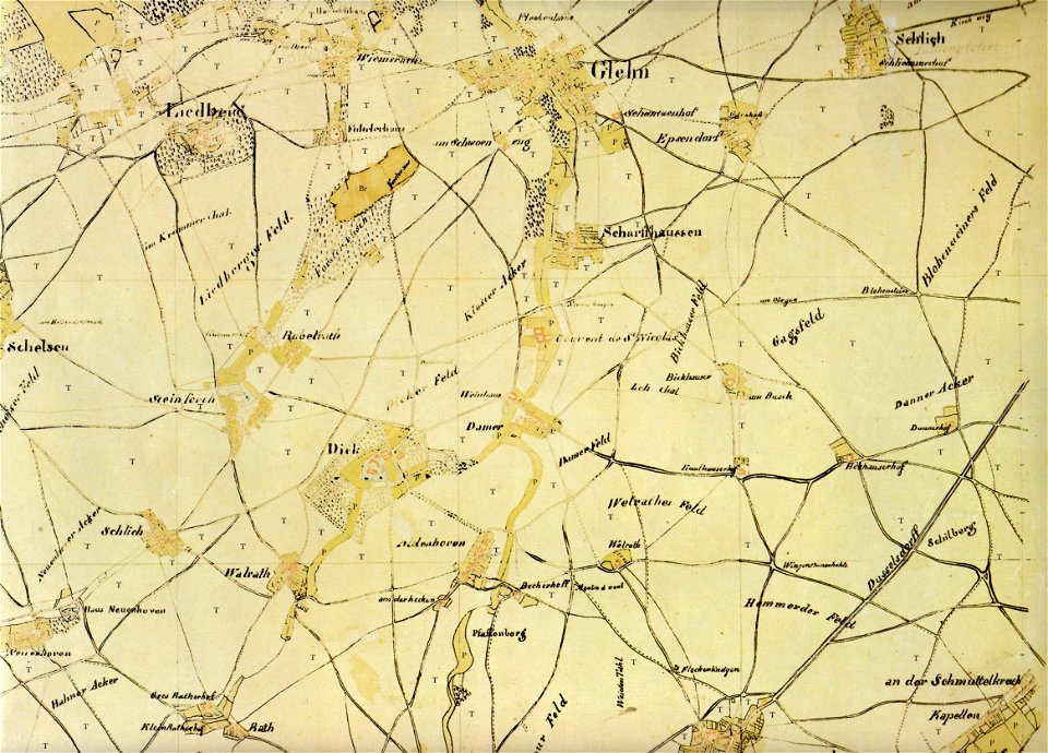
old maps of mönchengladbach
tranchot maps snippets
old maps of mönchengladbach
tranchot maps snippets
maps in the library of congress
1889 maps
old maps of papua new guinea
maps of bougainville
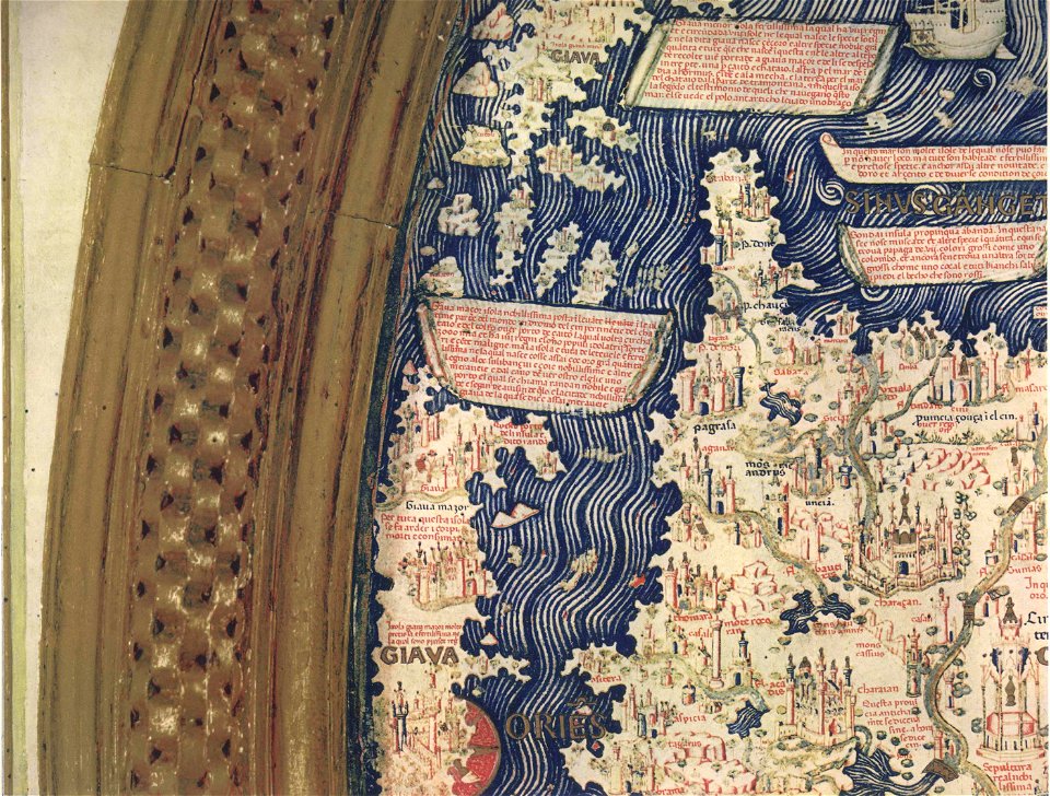
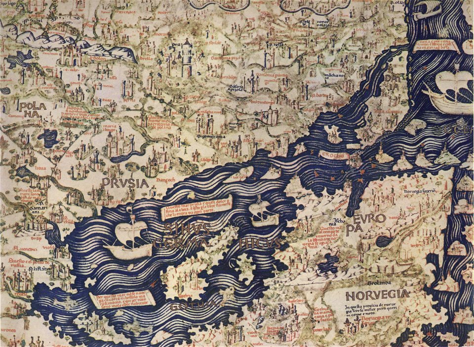
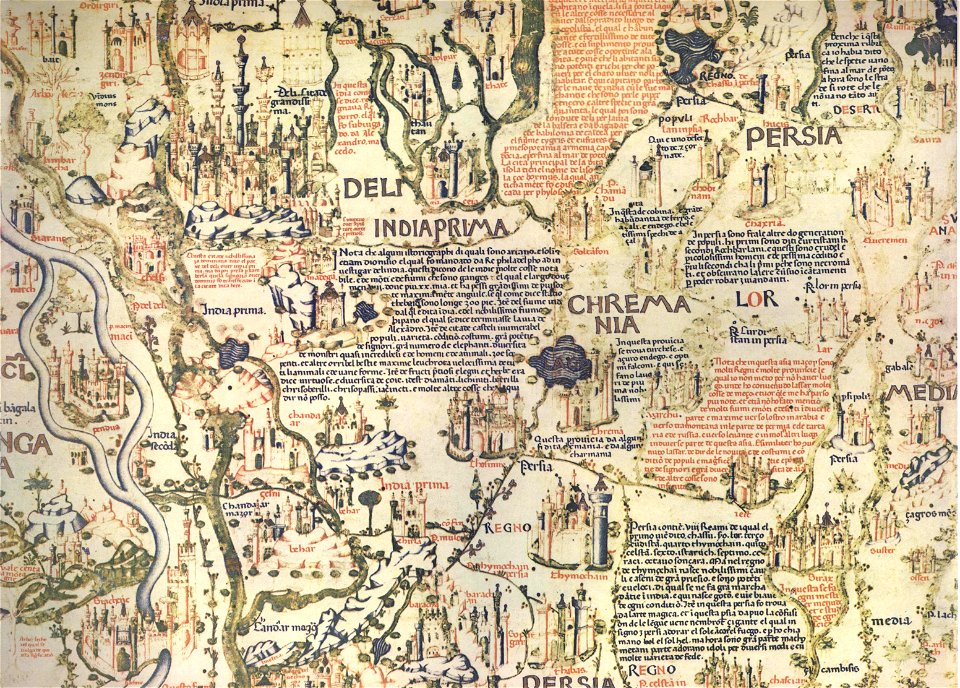
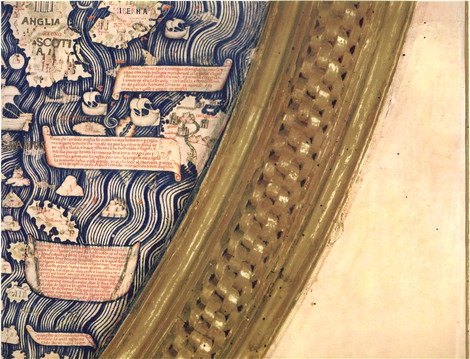
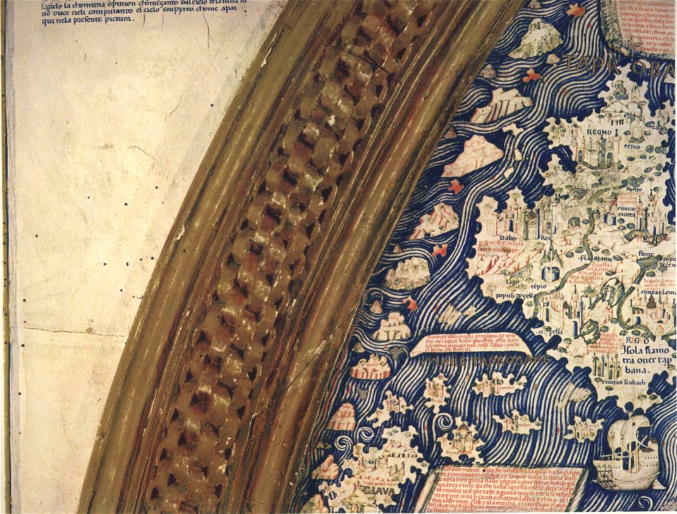
fra mauro map by sector
fra mauro map by sector
fra mauro map by sector
fra mauro map by sector
fra mauro map by sector
fra mauro map by sector
fra mauro map by sector
fra mauro map by sector
fra mauro map by sector
fra mauro map by sector
fra mauro map by sector
fra mauro map by sector
fra mauro map by sector
fra mauro map by sector
fra mauro map by sector
fra mauro map by sector
fra mauro map by sector
fra mauro map by sector
fra mauro map by sector
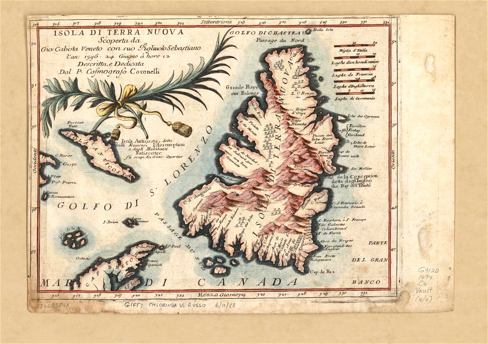
newfoundland island
maps by coronelli
maps in the library of congress
1801 maps
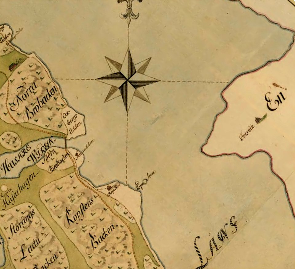
18th-century maps of sweden
maps of mälaren
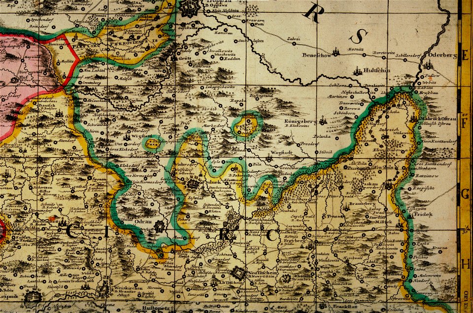
müller's map of moravia
maps of příbor
maps in the library of congress
1885 maps
maps in the library of congress
1885 maps
description de l'universe
1683 maps of africa
description de l'universe
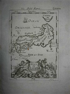
old maps of japan
old maps of mato grosso
description de l'universe
old map
description de l'universe
old maps of japan
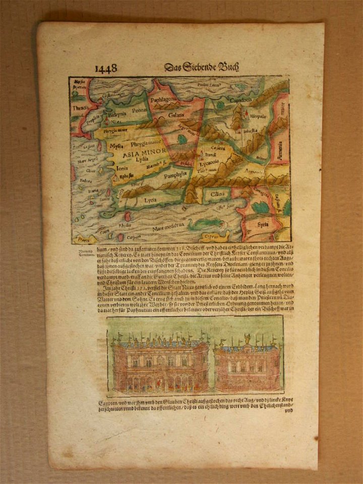
cosmographia (1600) by sebastian münster
old map
description de l'universe
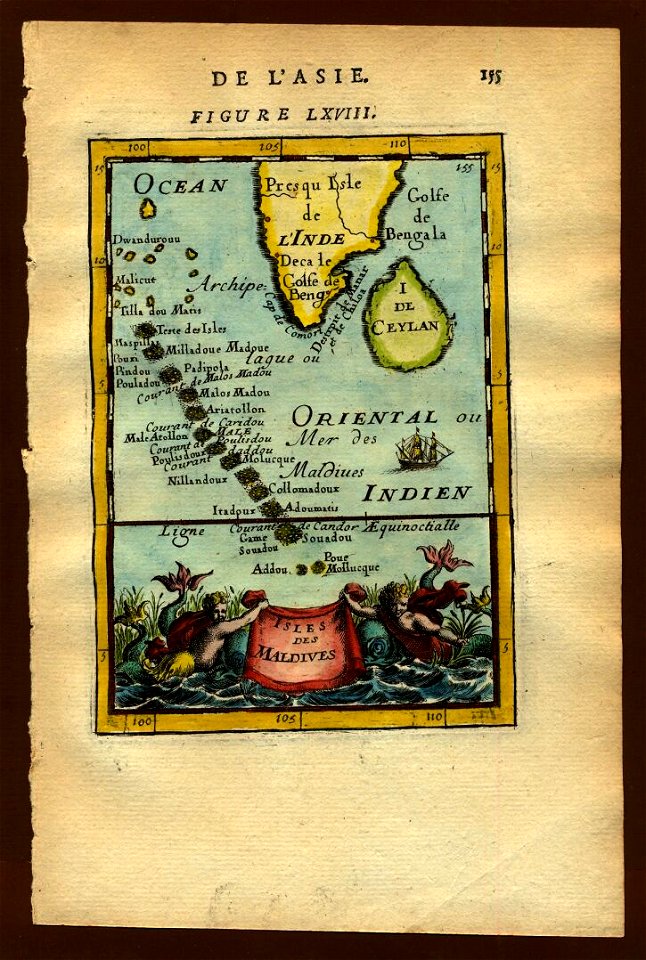
old maps of the maldives
description de l'universe
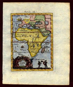
old maps of africa
description de l'universe
1719 maps of africa
description de l'universe
old maps of goa
maps of brussels by braun & hogenberg
description de l'universe
1710s maps of egypt
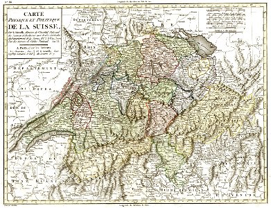
old maps of switzerland
1798 in switzerland
17th-century maps of stockholm
maps of hjorthagen
maps in the library of congress
1892 maps
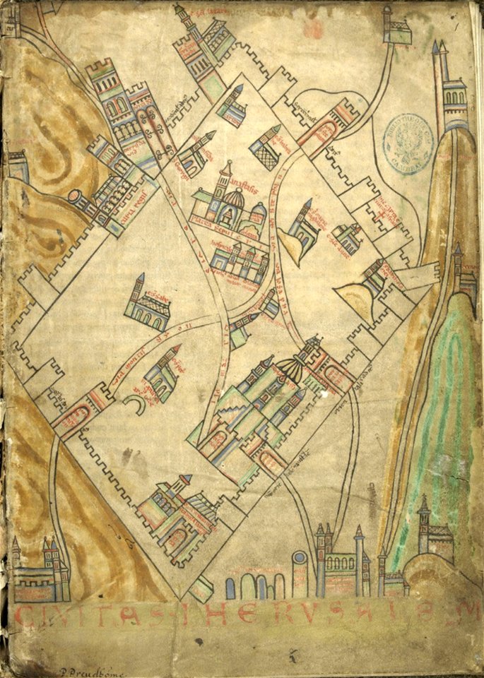
cartography of jerusalem
old maps of jerusalem
maps in the library of congress
1885 maps
maps in the library of congress
1892 maps
description de l'universe
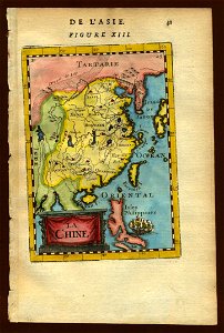
old maps of china
countries
maps
countries
maps
claes jansz. visscher (ii)
antwerp
historical images of luxembourg palace
jardin du luxembourg
mapping
alaska
vehicle
car
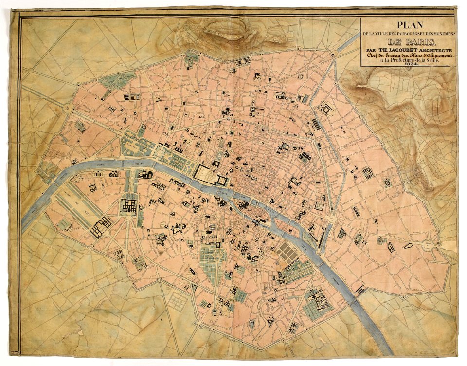
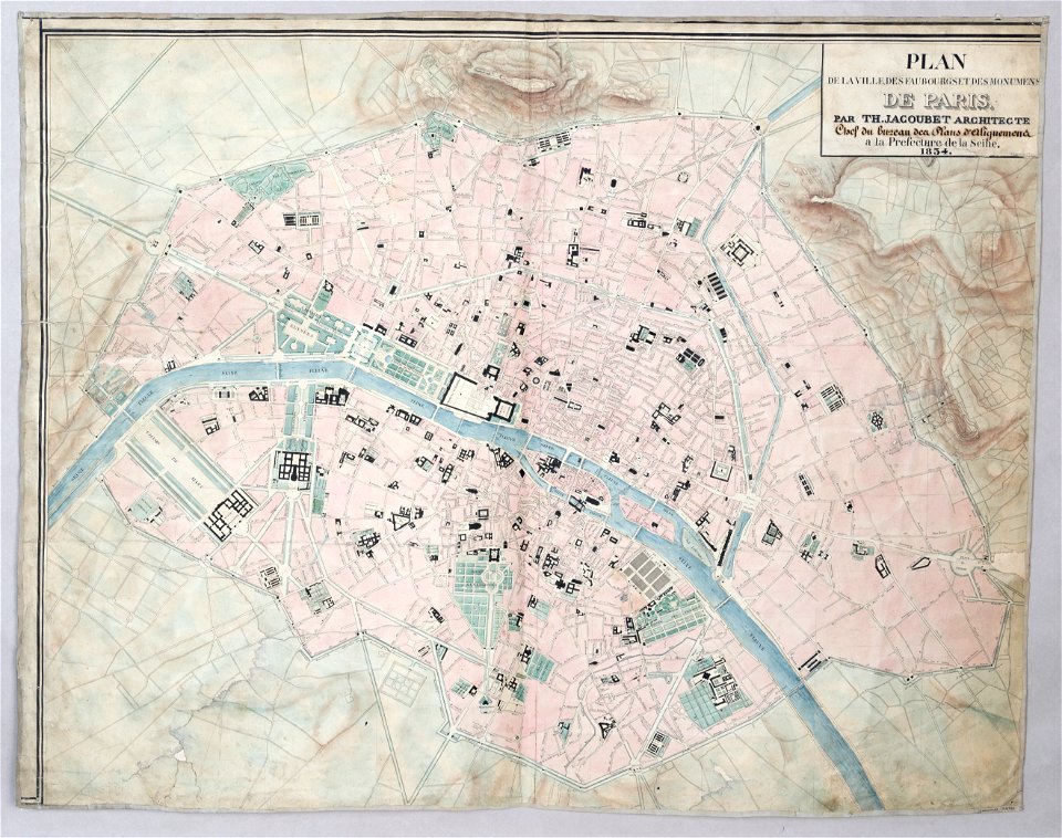
maps of paris from paris musées
1830s maps of paris
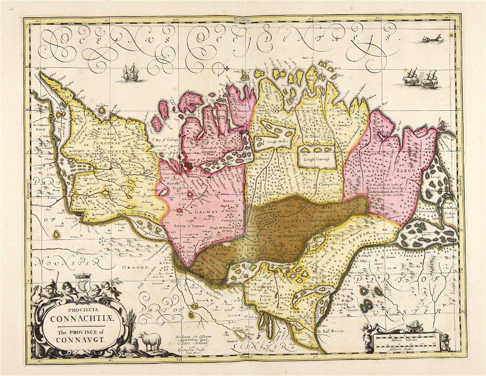
old maps of ireland
gerard valck
maps made in the 17th century
gerard valck
maps of paris from paris musées
1830s maps of paris
fonds ancely - bibliothèque municipale de toulouse - maps
coats of arms of cities in orne
gerard valck
campania
maps made in the 17th century
gerard valck
old maps of austria-hungary
austro-hungarian army
ardennes (belgium)
gallia belgica
allegories of the four elements
islands of california
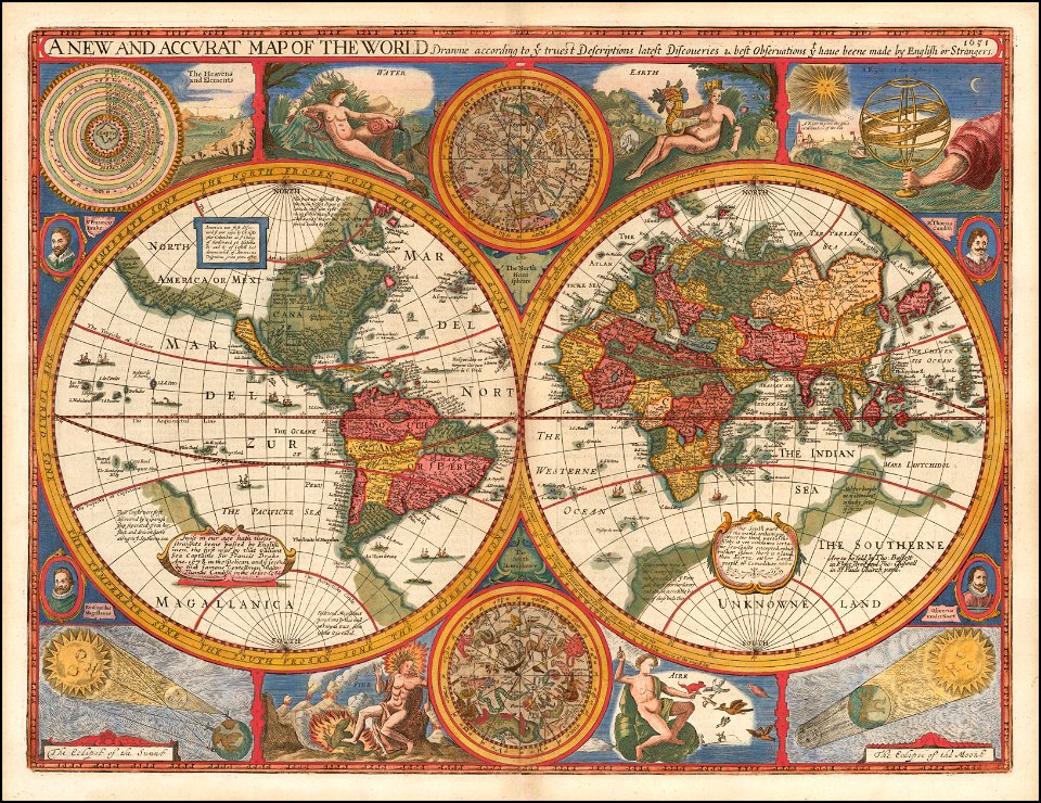
world
maps
portrait paintings by maurice quentin de la tour (french royalty)
rococo
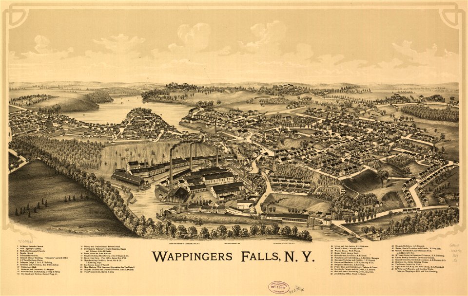
maps in the library of congress
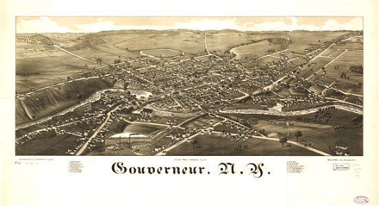
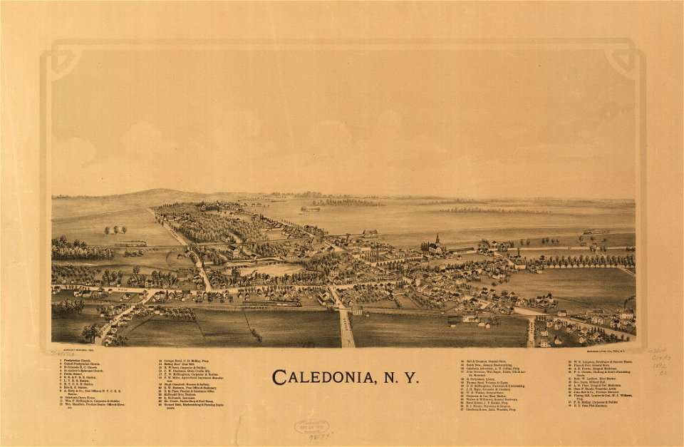
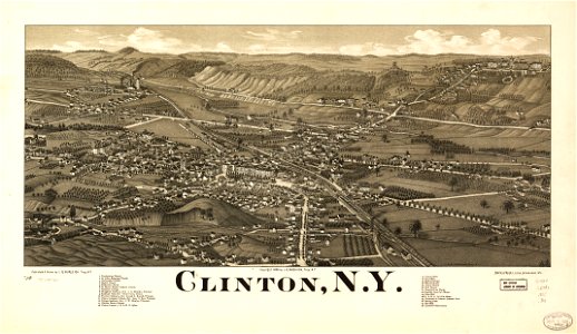
new york
maps made in the 17th century
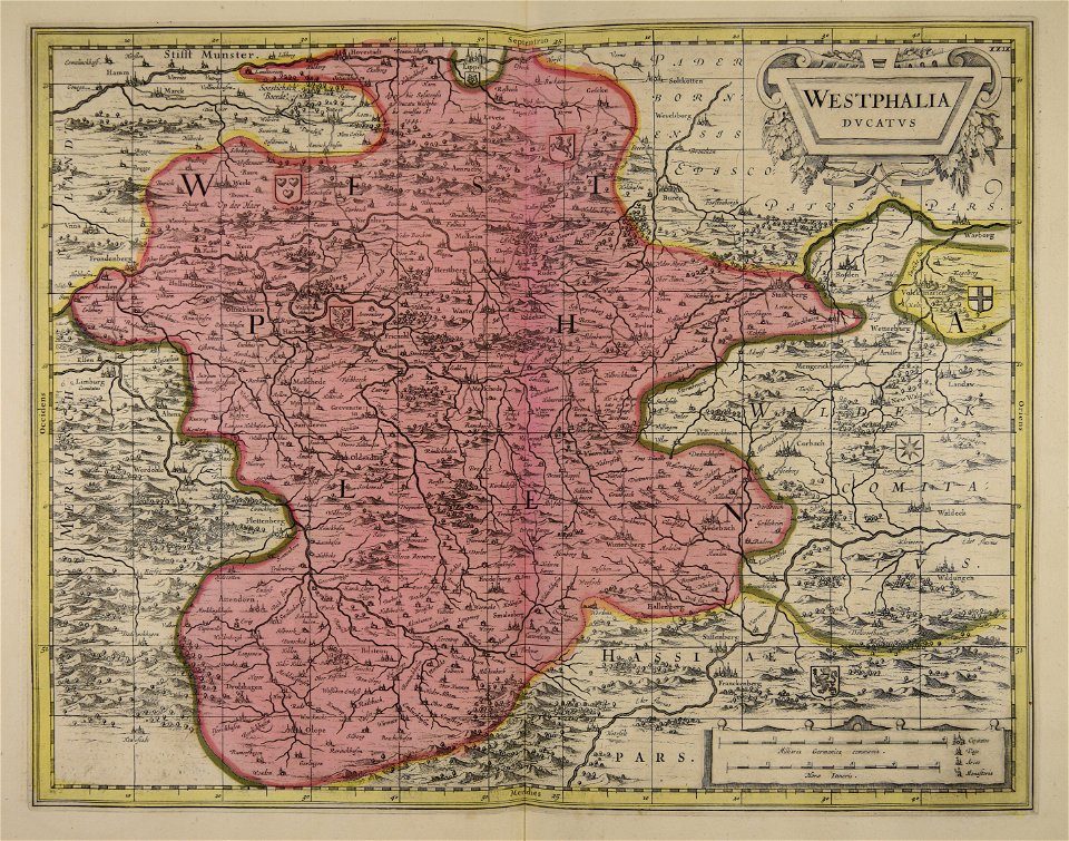
old maps of westphalia
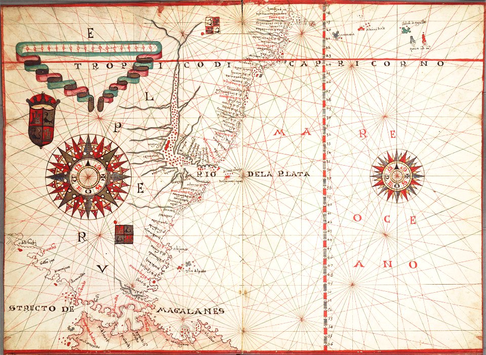
charts and maps of the royal museums greenwich
1572 maps
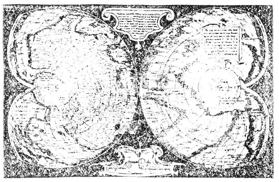
popular science monthly illustrations/volume 16
mercator 1569 world map
6101 - 6200 of 357,629
Next page
/ 3577