Log in
All resources
Create a design
35 Free Artworks of 1878 Maps
engraving
geography
travel
viajes
grabados
libros del siglo xix
fondo antiguo
19th century books
1878-1879
vivien de saint martin,
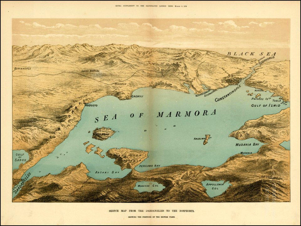
the illustrated london news 1878
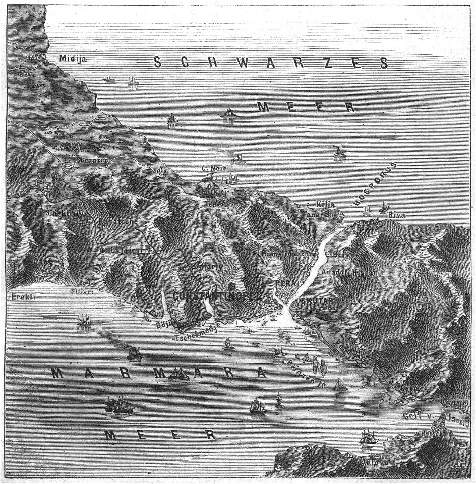
maps of the sea of marmara
maps of the bosphorus
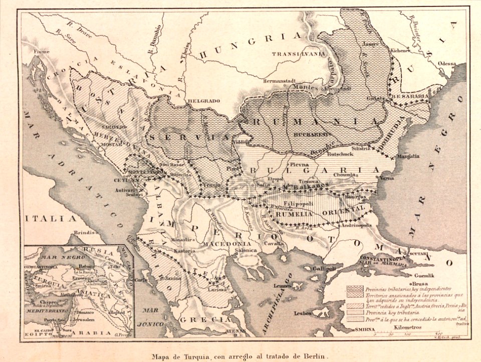
old maps of turkey
the illustrated london news 1878
maps of the sea of marmara
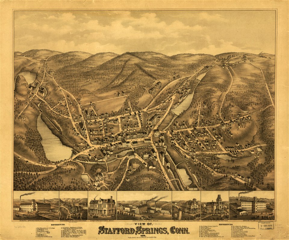
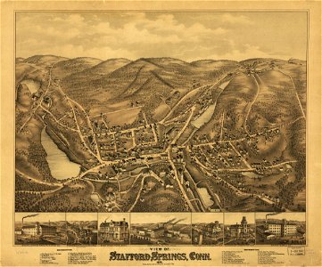
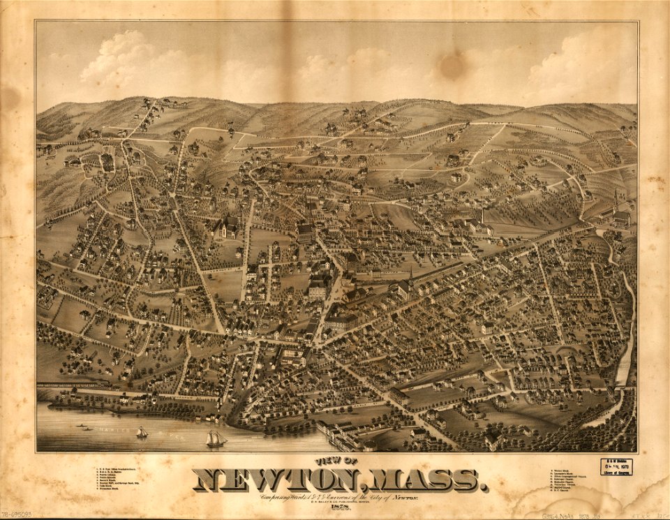
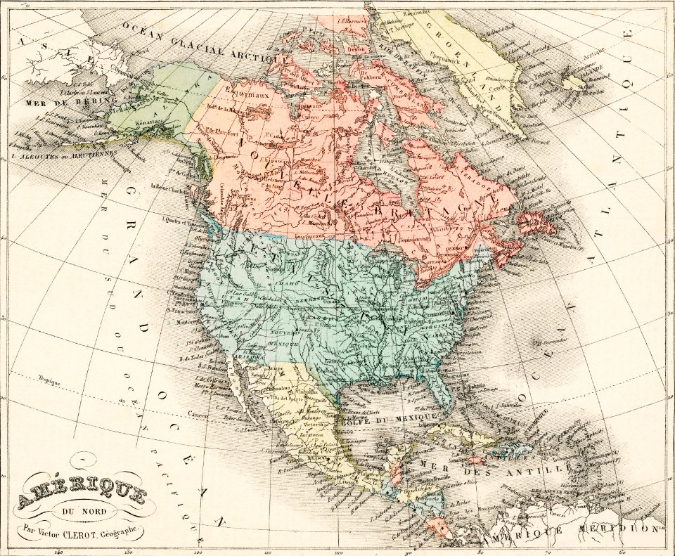
old maps of connecticut
o. h. bailey
old maps of connecticut
o. h. bailey
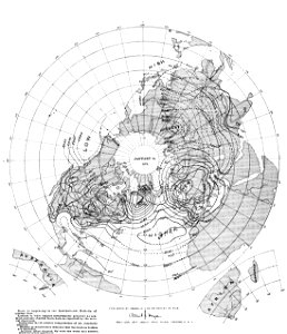
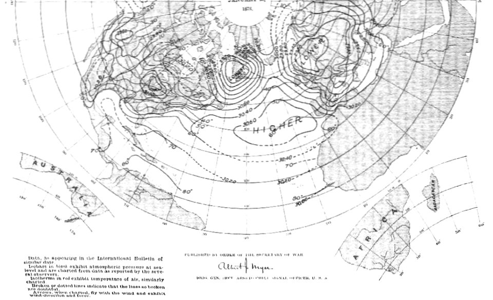
old weather and climate maps
1880 maps
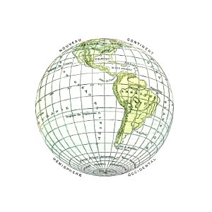
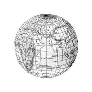
earth
maps
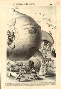
19th-century satirical maps
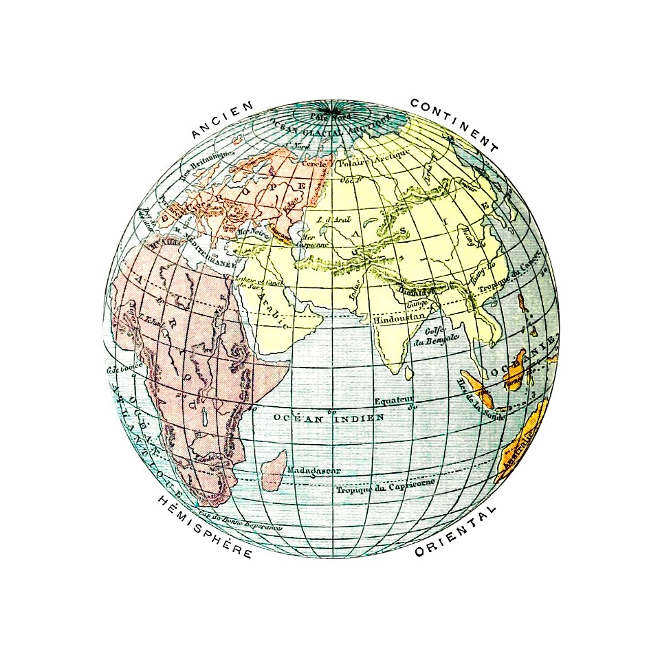
1870s maps of the world
19th-century satirical maps
augusto grossi
massachusetts
o. h. bailey
massachusetts
o. h. bailey
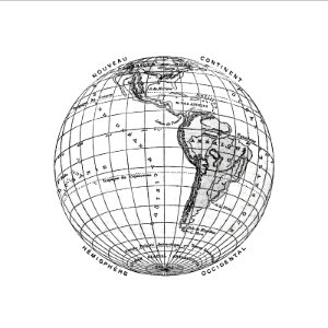
earth
maps
old weather and climate maps
1880 maps
old weather and climate maps
1880 maps
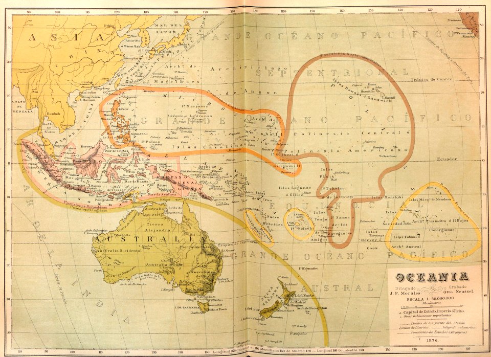
ocean
maps
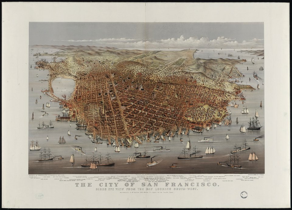
bird's eye view maps of california
san francisco in art
russo-turkish war (1877–1878)
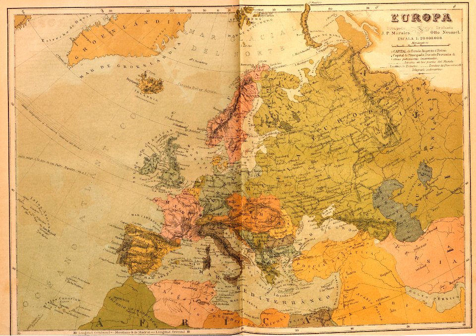
old maps of europe
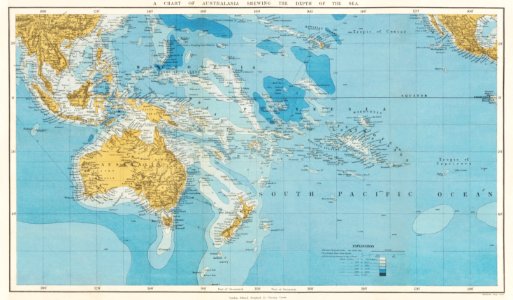
ocean
maps
ocean
maps
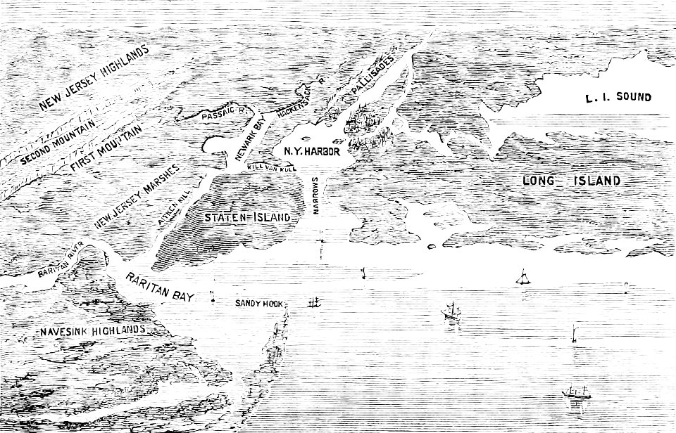
popular science monthly illustrations/volume 13
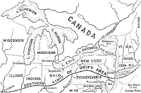
drainage basin maps of north america
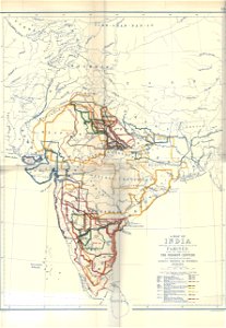
timeline of major famines in india during british rule
history of india
popular science monthly illustrations/volume 13
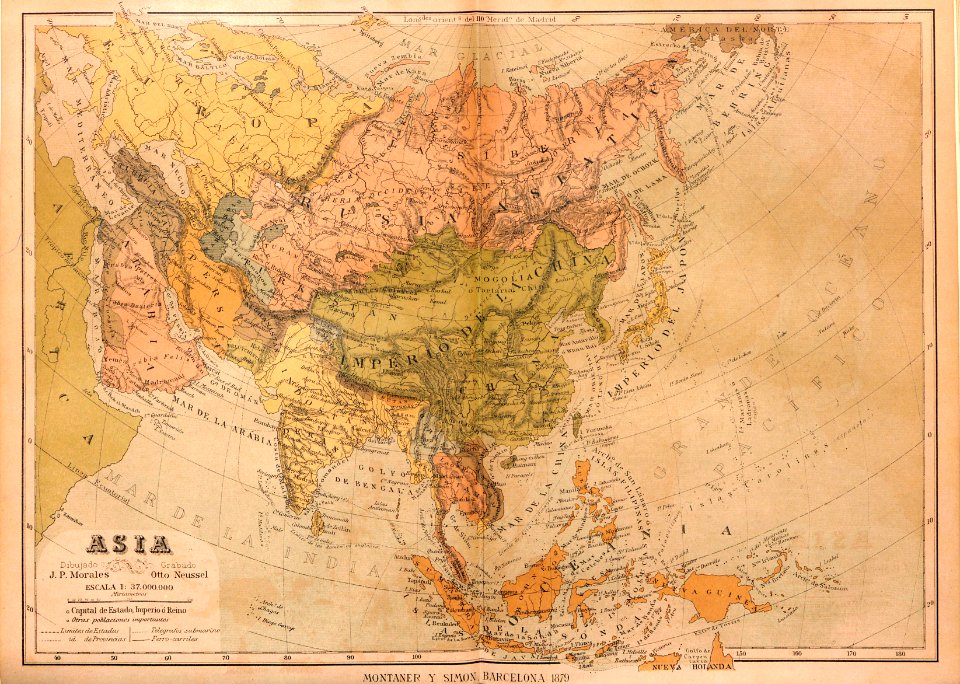
1878 maps
old maps of new york (state)
the palisades (hudson river)
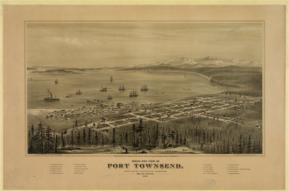
port townsend
washington
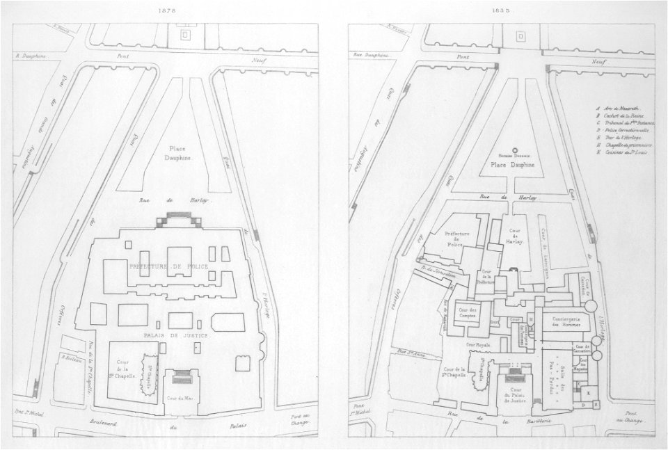
historical images of pont neuf
lithographs of paris
port townsend
washington
maps with cartouches
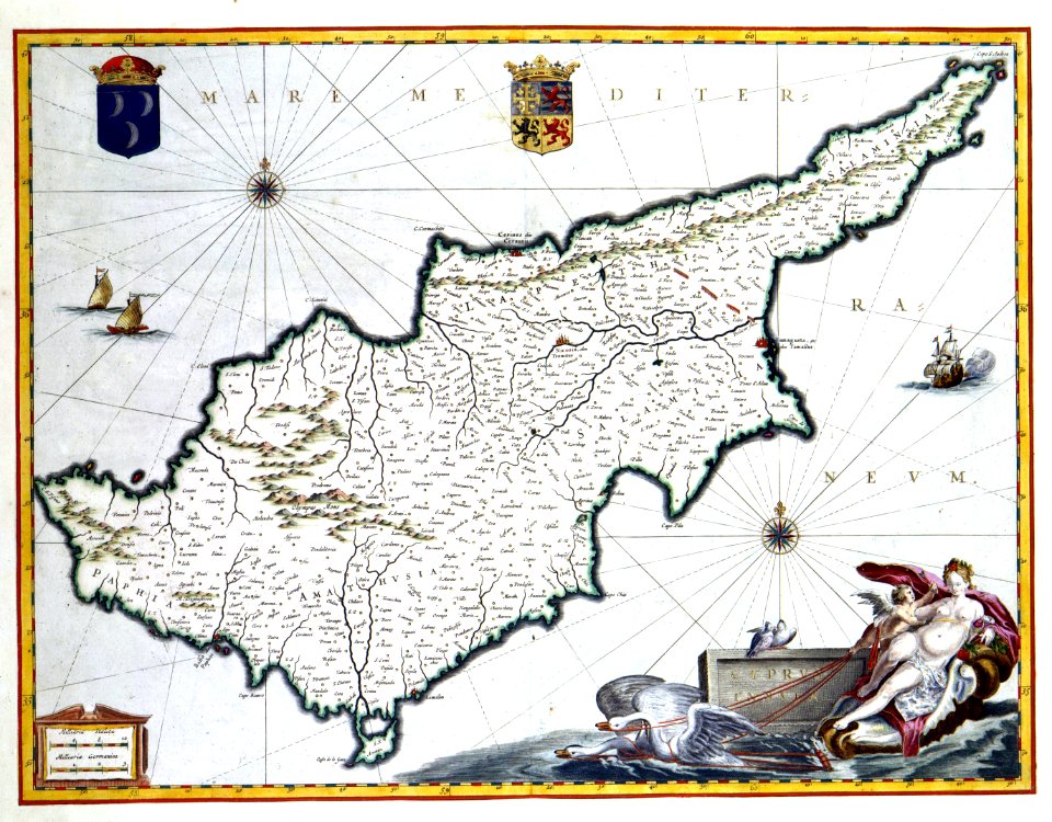
1964 in cyprus
travel
maps
maps
sea
travel
maps
travel
maps
travel
maps
travel
maps
travel
maps
travel
maps
1 - 35 of 35
/ 1