Log in
All resources
Create a design
Tools
38,713 Free Artworks of Map
maps in the library of congress
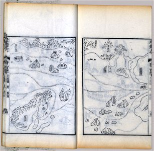
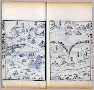
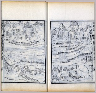
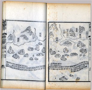
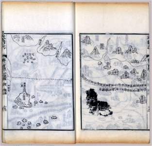
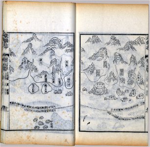
mao kun map
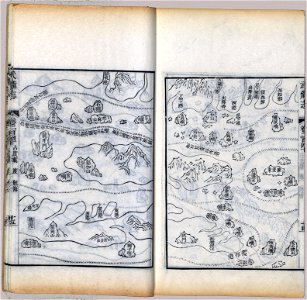
wubei zhi
maps made in the 17th century
small atlas of the russian empire (1792)
maps by pieter schenk (i)
gerard valck
atlantis magni tomus tertius (biblioteca comunale di trento)
atlantis magni tomus secundus (biblioteca comunale di trento)
1747)
saint-louis region
1747)
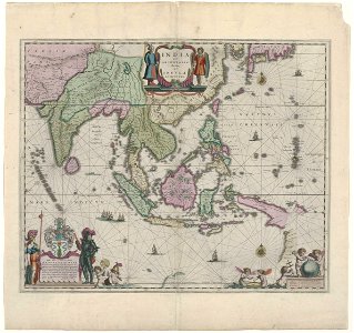
maps of the west-indische compagnie
1745
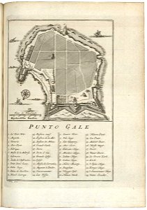
maps of the dutch east india company - sri lanka
1753
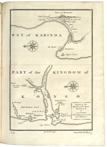
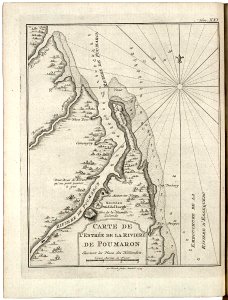
maps of the senegal river
1747)
maps of the west-indische compagnie
1773
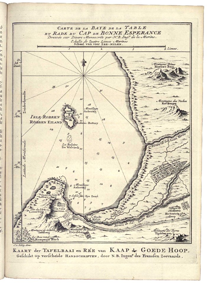
maps of the dutch east india company - south africa
1747)
drawings in the universitätsbibliothek salzburg
maps made in the 17th century
charts and maps of the royal museums greenwich
1682 maps
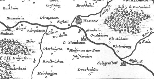
offenbach-bieber
maps of hanau
maps in russian state archives of ancient documents
historical images of čerykaŭ
old maps published in the gallia christiana
maps of catholic dioceses of france
maps of world war i by the daily telegraph
maps of antwerp city walls
old maps of antwerp
maps of brussels city walls
old maps of brussels
charts and maps of the royal museums greenwich
1682 maps
map of brugse vrije by pieter claeissens de jonge
maps showing 18th-century history
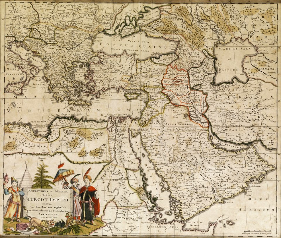
old maps of the ottoman empire
atlas of the russian empire (1800)
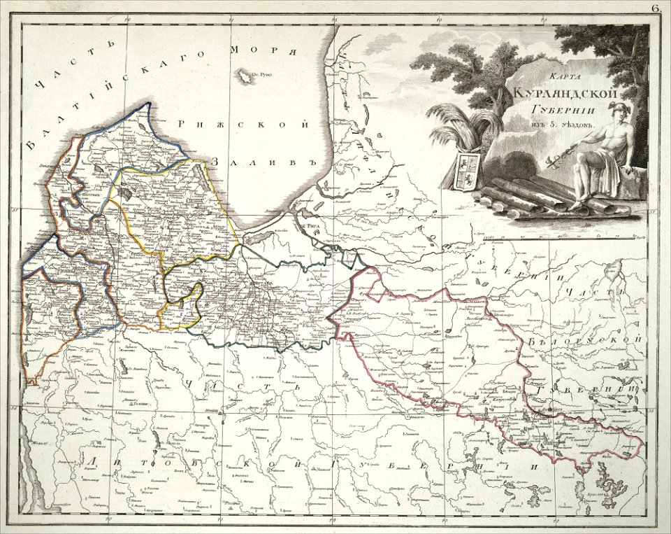
old maps of courland governorate
maps in the library of congress
mao kun map
maps in the library of congress
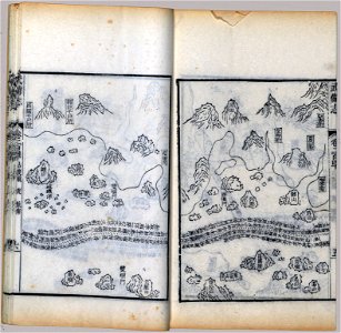
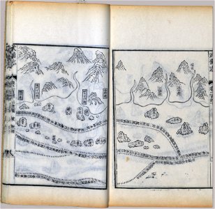
mao kun map
maps in the library of congress
mao kun map
maps in the library of congress
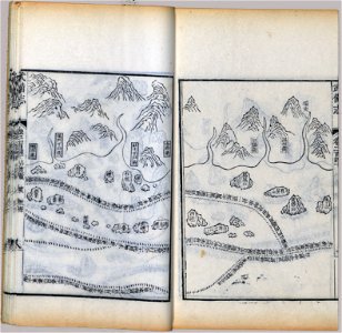
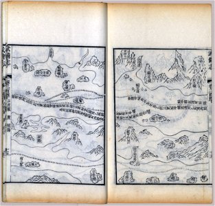
mao kun map
maps in the library of congress
mao kun map
maps in the library of congress
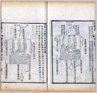
mao kun map
maps in the library of congress
mao kun map
maps in the library of congress
mao kun map
maps in the library of congress
mao kun map
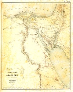
lepsius-projekt - maps
egypt in the 1850s
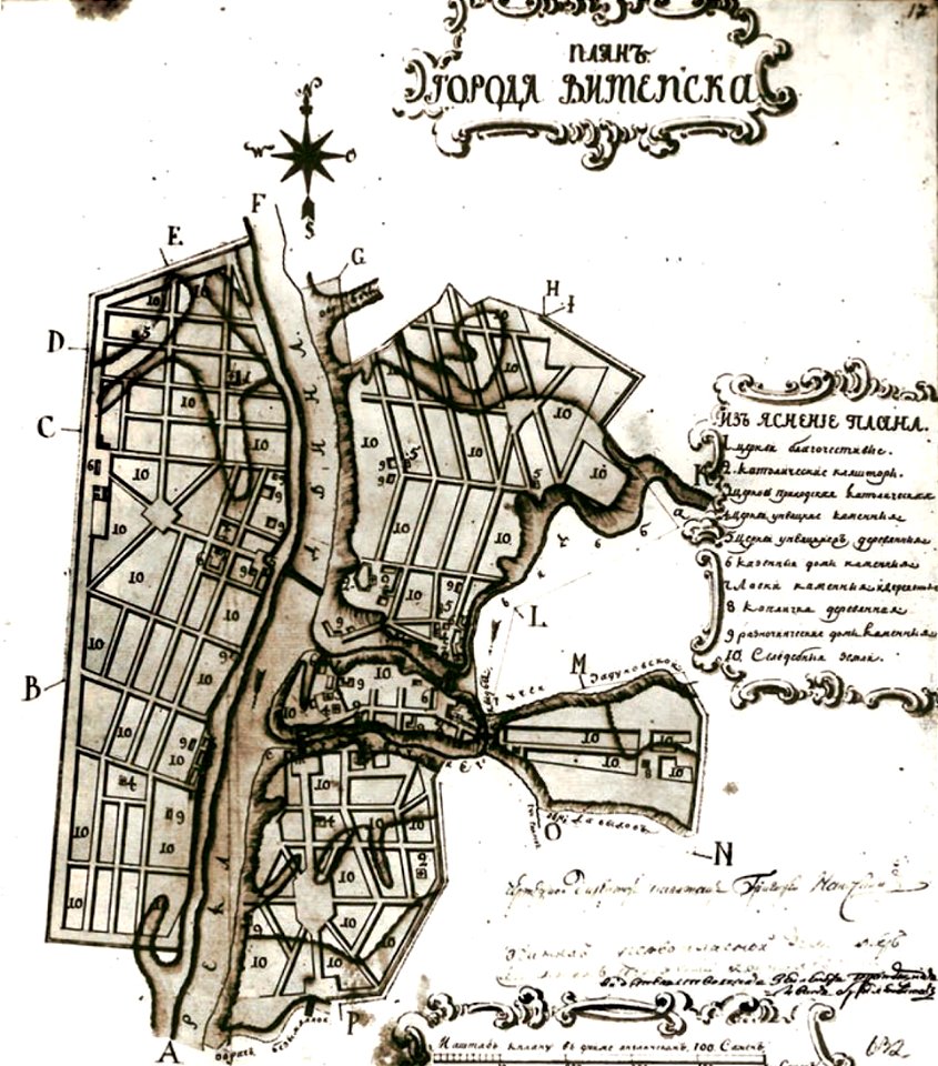
maps in russian state archives of ancient documents
historical images of viciebsk
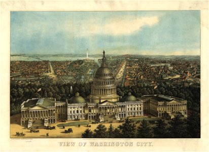
maps in the library of congress
united states capitol in art
maps in russian state archives of ancient documents
historical images of orša
maps in the library of congress
1759 maps
maps in the library of congress
mao kun map
maps in the library of congress
mao kun map
maps in the library of congress
mao kun map
maps in the library of congress
mao kun map
maps in the library of congress
mao kun map
maps in the library of congress
mao kun map
maps in the library of congress
mao kun map
maps in the library of congress
mao kun map
maps in the library of congress
mao kun map
maps in the library of congress
mao kun map
maps in the library of congress
mao kun map
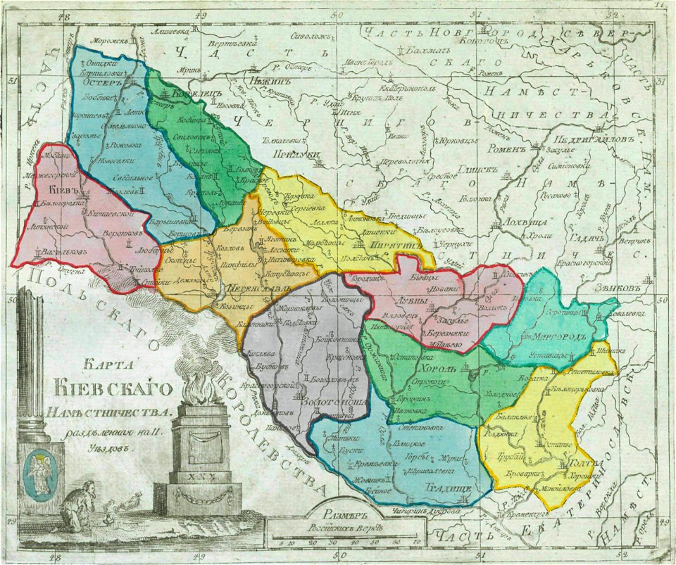
small atlas of the russian empire (1792)
maps of kiev governorate
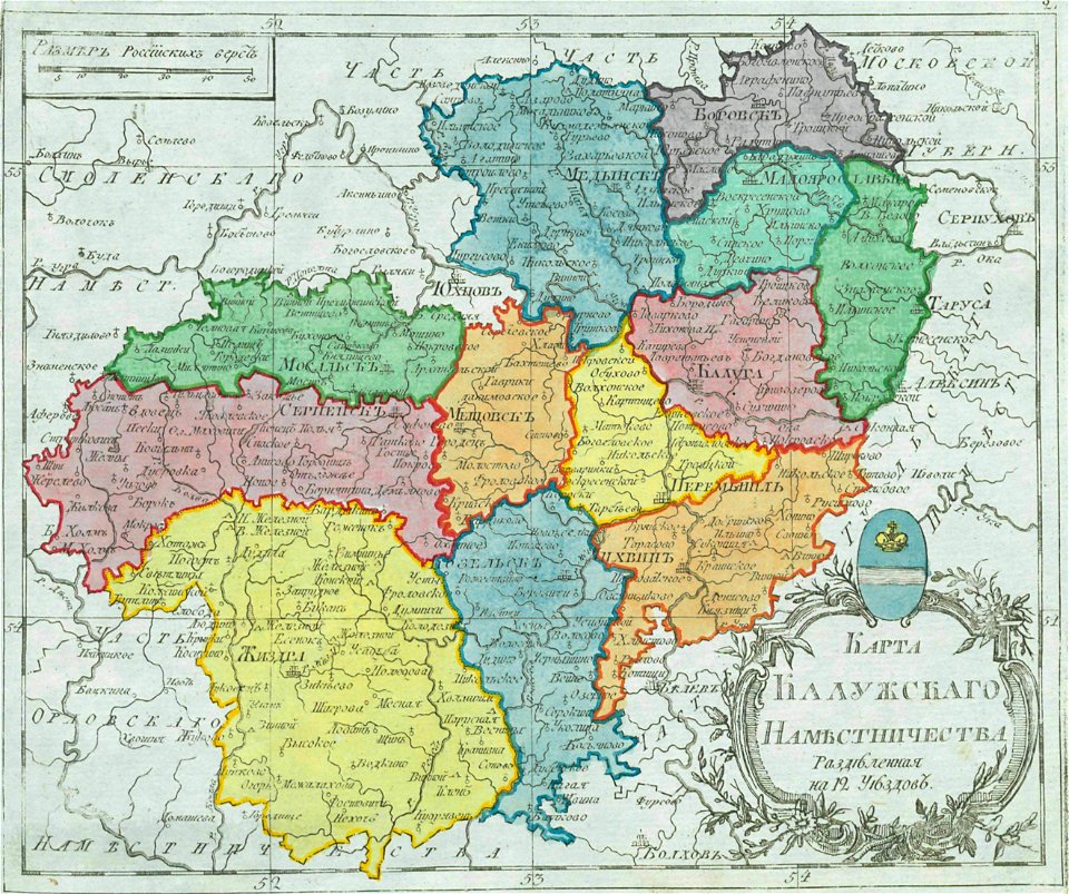
small atlas of the russian empire (1792)
maps of kaluga governorate
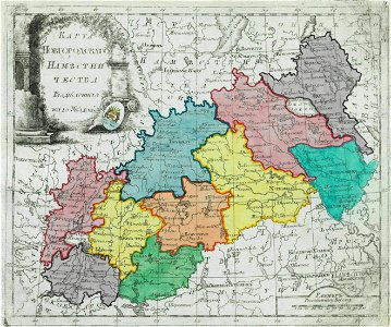
small atlas of the russian empire (1792)
maps of novgorod governorate
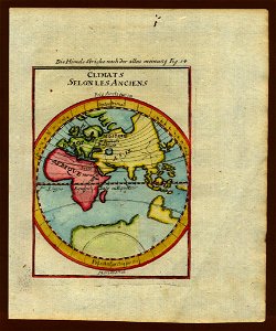
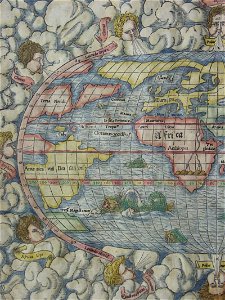
description de l'universe
alain manesson-mallet
illustrations of cosmographia (münster)
old maps of the world
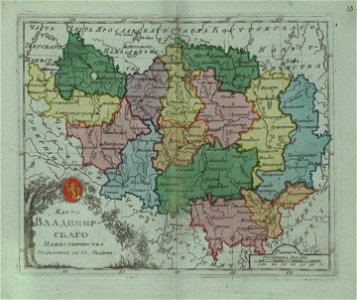
small atlas of the russian empire (1796)
maps of vladimir governorate
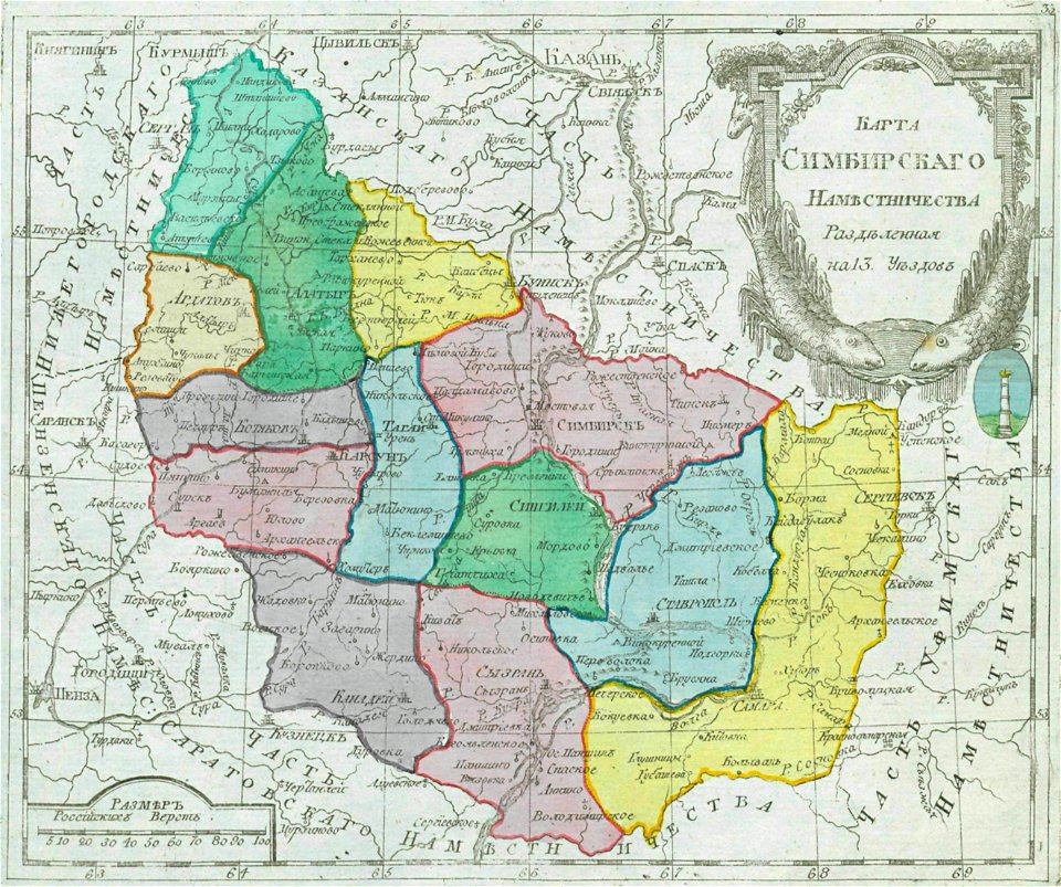
small atlas of the russian empire (1792)
maps of simbirsk governorate
small atlas of the russian empire (1792)
maps of kostroma governorate
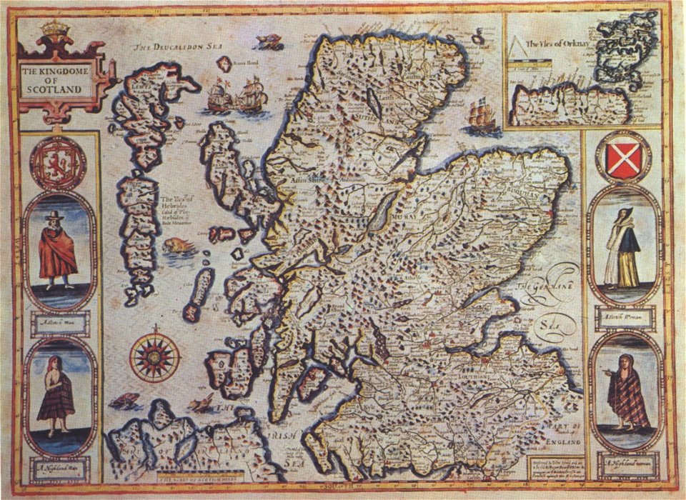
scotland in the 17th century
history of scotland
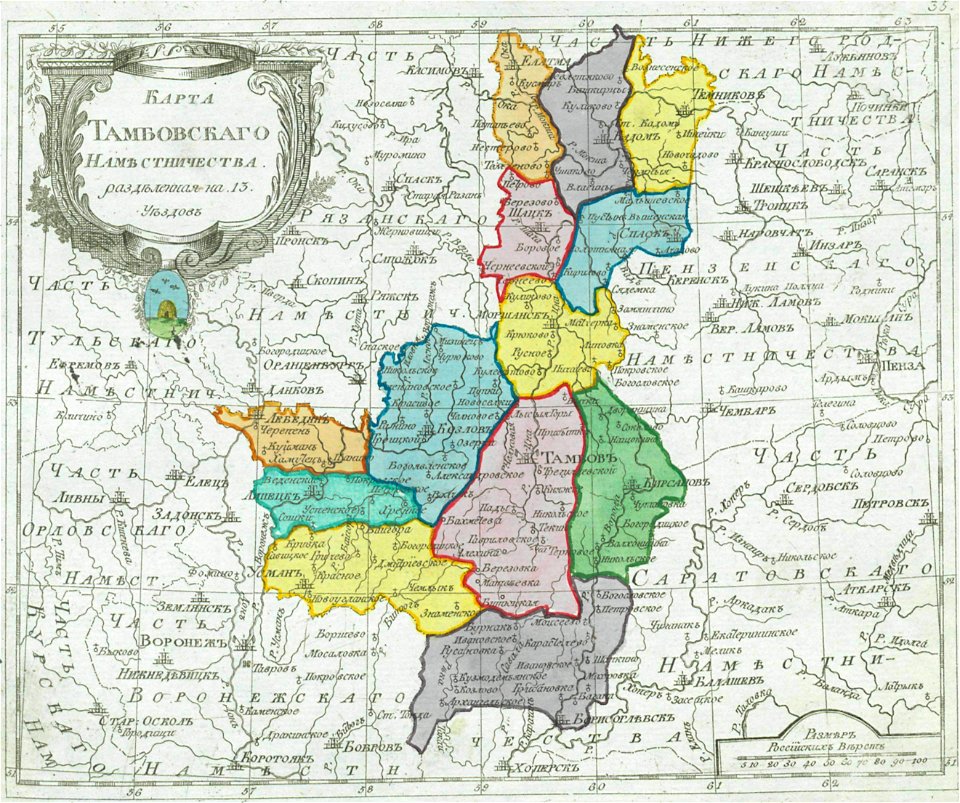
small atlas of the russian empire (1792)
maps of tambov governorate
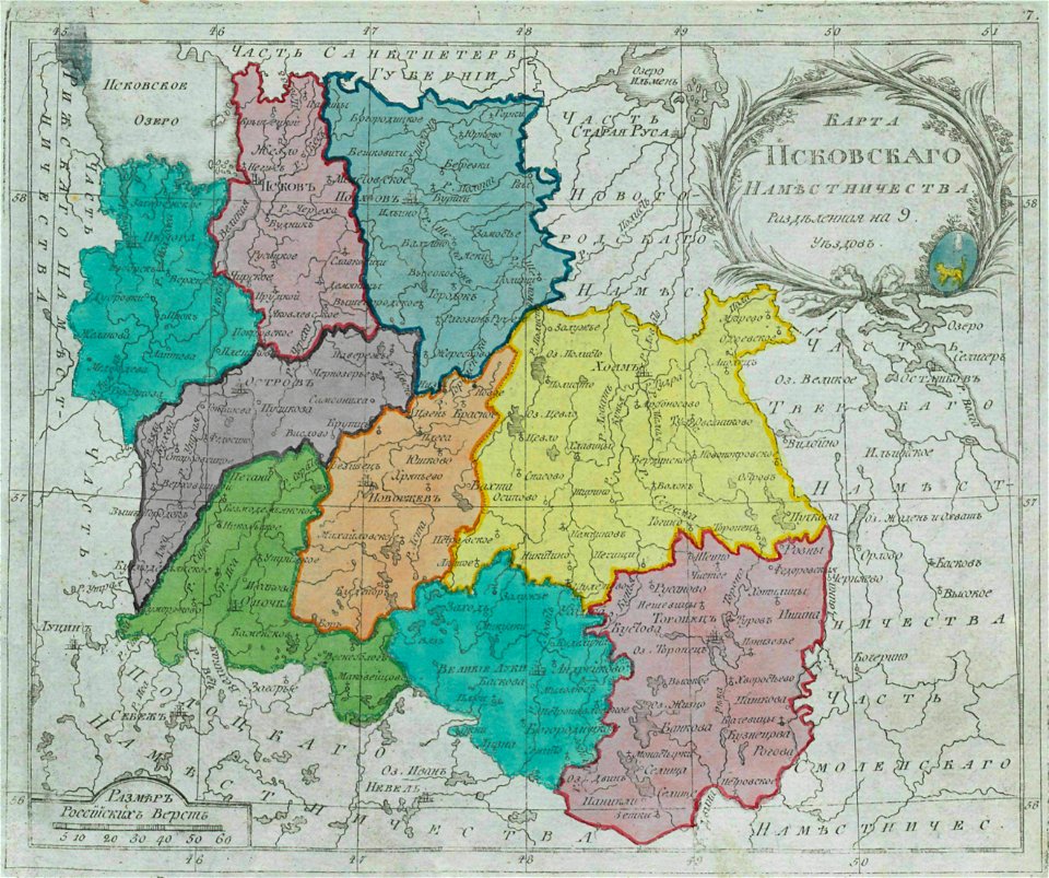
small atlas of the russian empire (1792)
maps of pskov governorate
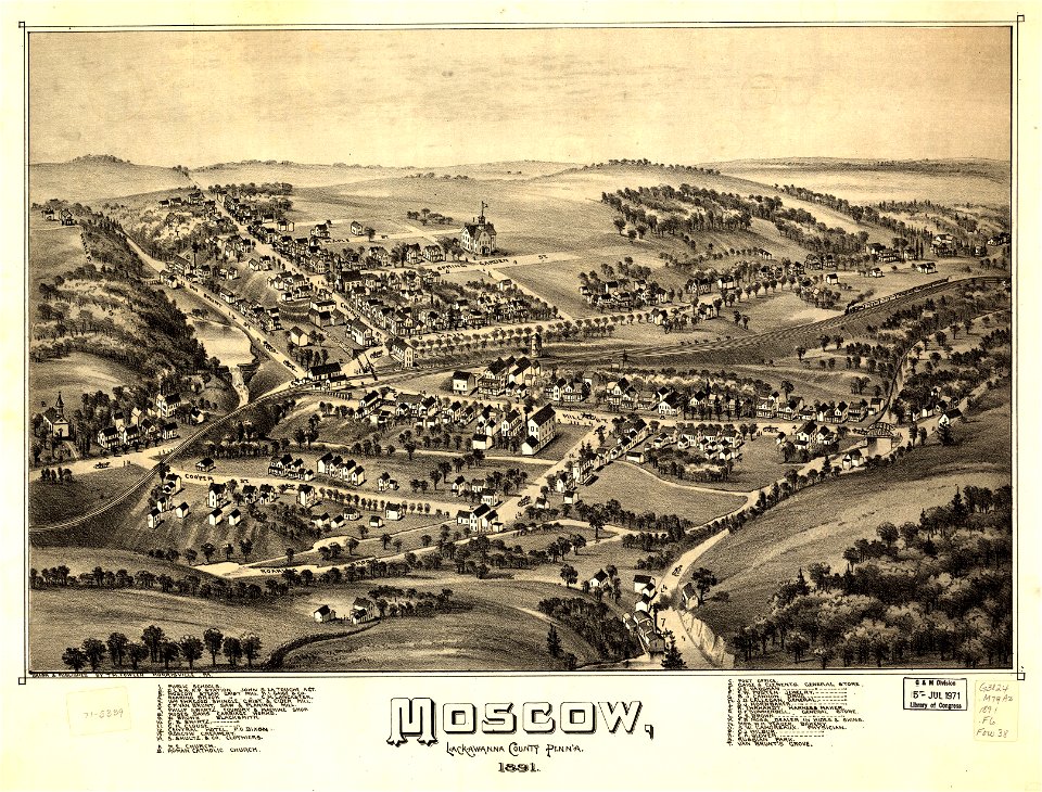
pennsylvania
moscow
maps in the library of congress
new york
maps in the library of congress
new york
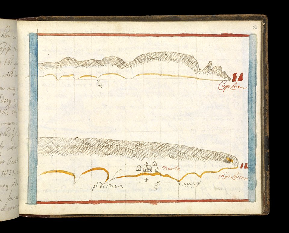
old maps of islands of the aegean sea
bartolommeo dalli sonetti
itinerarium hierosolymitanum et syriacum..., 1619
old maps of cyprus
maps by willem and johannes blaeu
montfoort
charts and maps of the royal museums greenwich
1682 maps
estate maps in the national library of wales
garden design
estate maps in the national library of wales
garden design
geographical illustrations by coronelli
maps of preveza
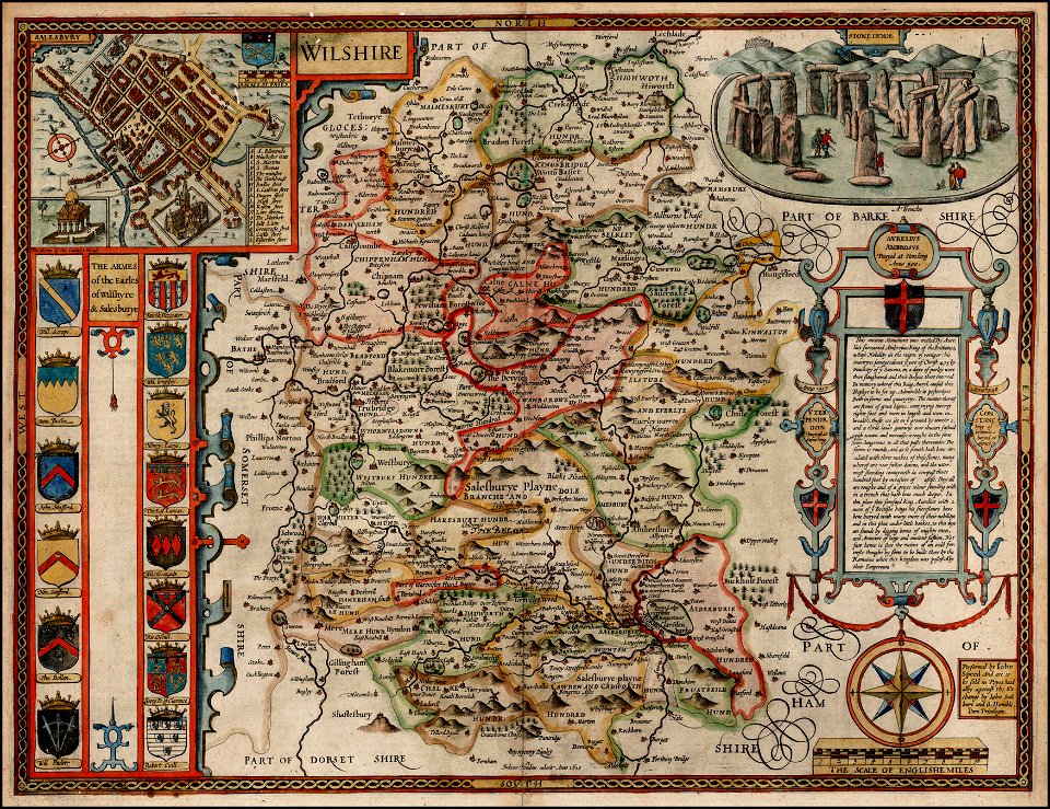
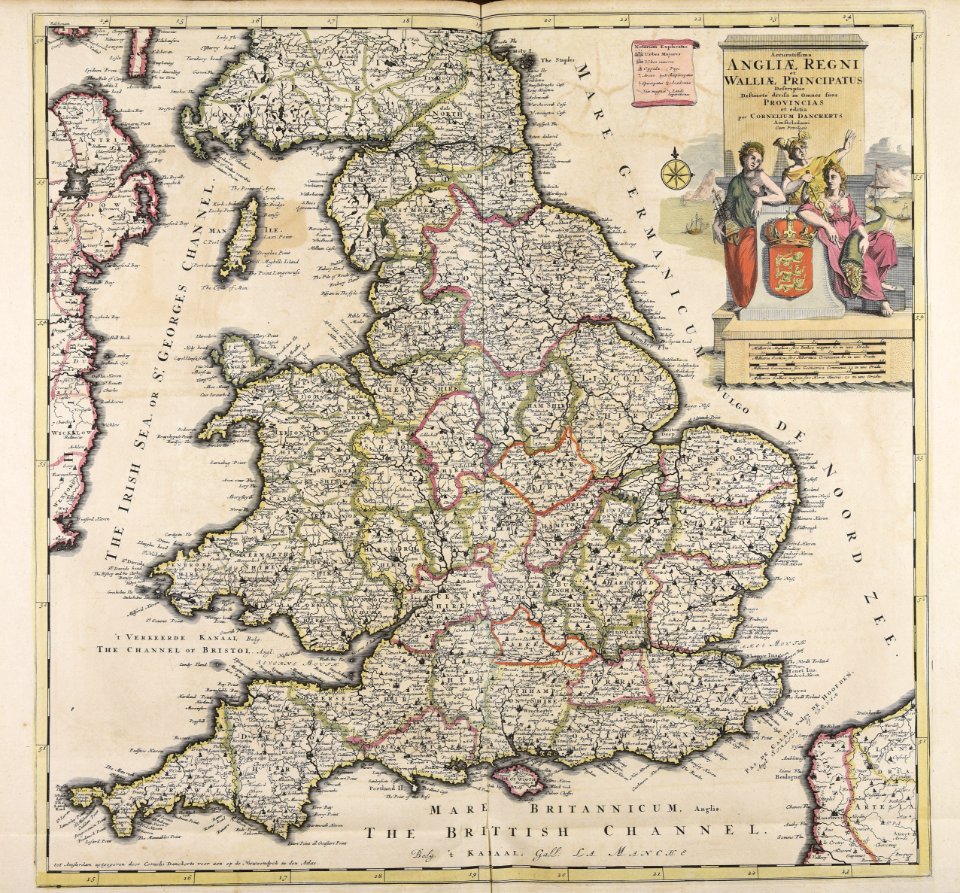
county maps of england by john speed
john speed
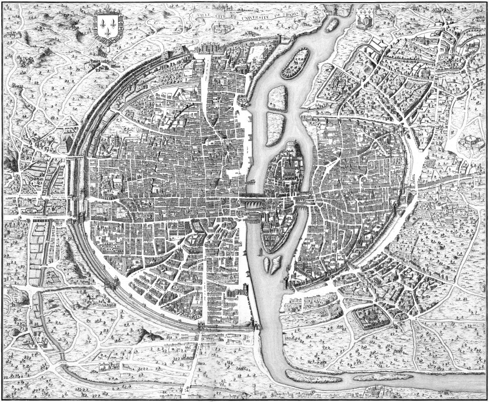
dheulland map of paris
wagner & debes
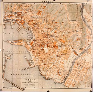
old maps of genoa
maps by royal bavarian land tax commission
old maps of freising
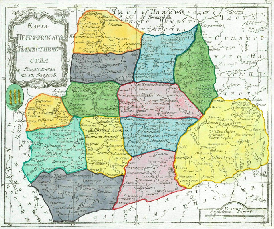
small atlas of the russian empire (1792)
maps of penza governorate
small atlas of the russian empire (1792)
maps of wyborg governorate
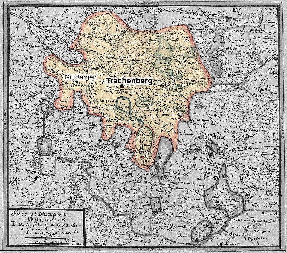
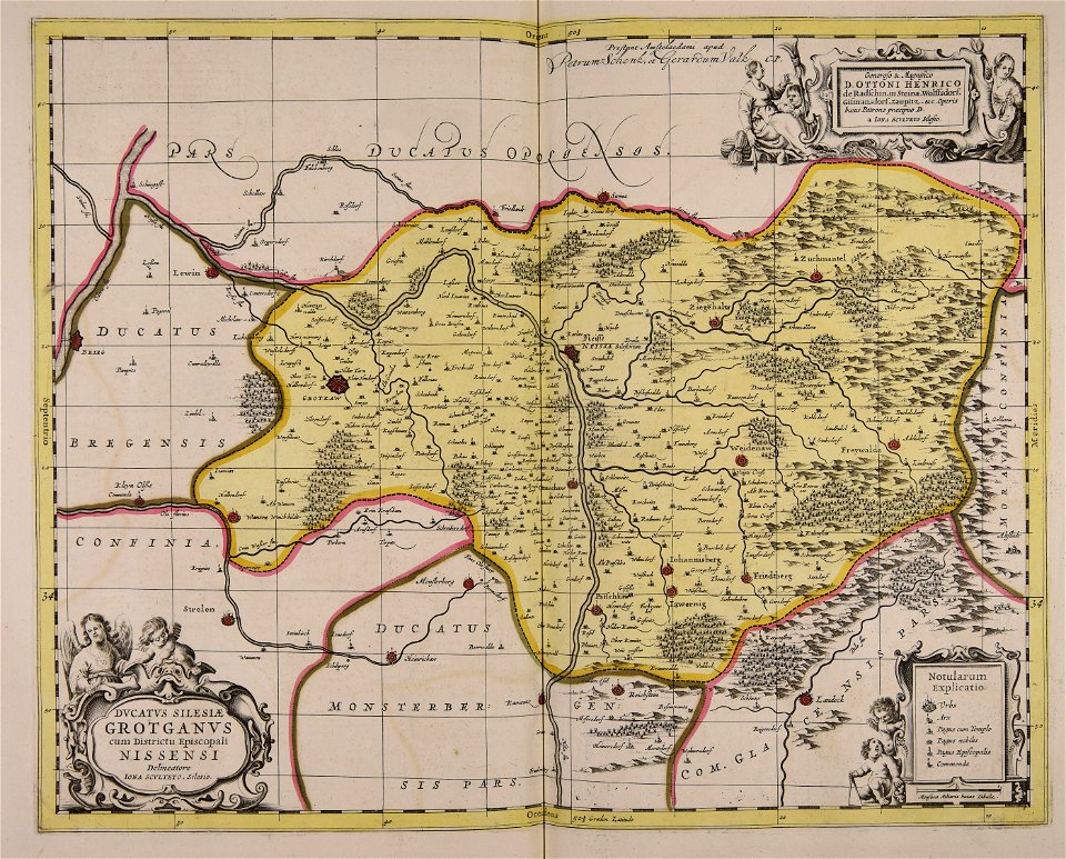
lower silesian voivodeship
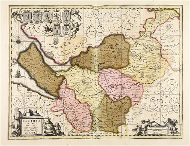
old maps of silesia
africa
maps
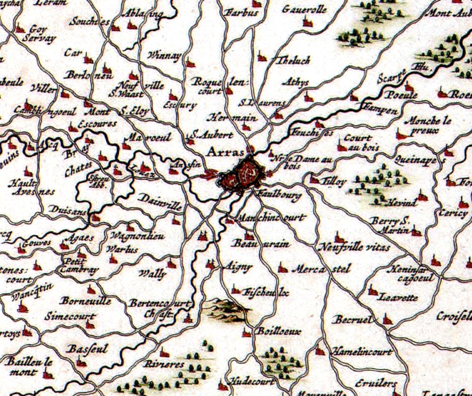
old maps of france
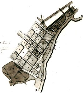
old maps of arras
maps with cartouches
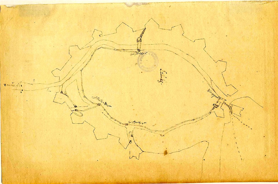
vercelli
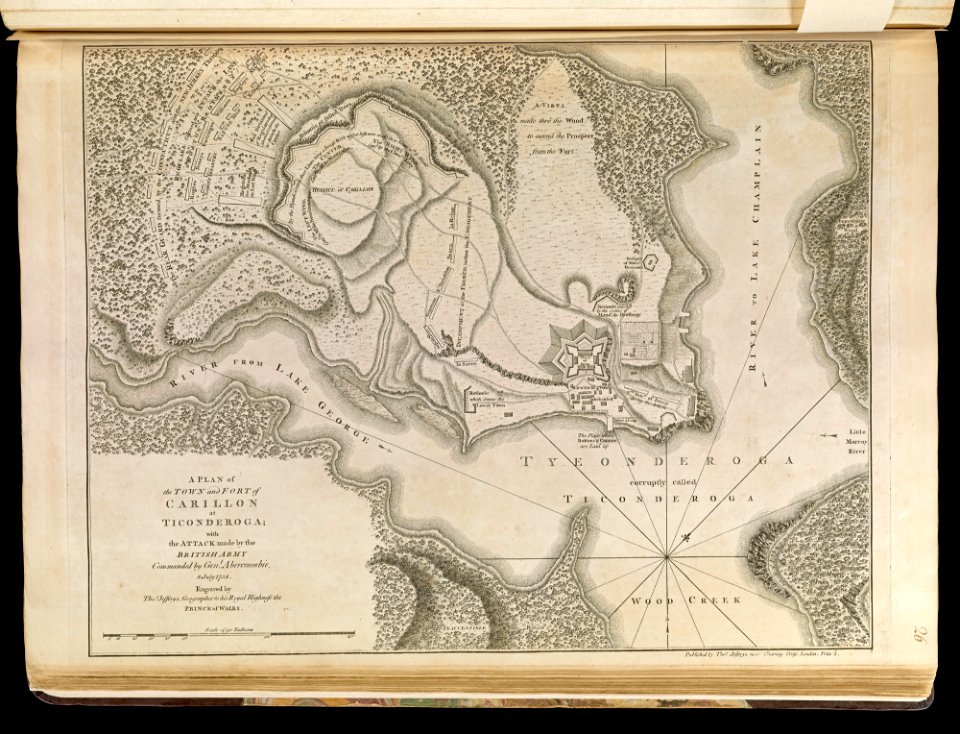
old maps of new york (state)
fort ticonderoga
maps made in the 17th century
gerard valck
maps made in the 17th century
maps by pieter schenk (i)
maps by willem and johannes blaeu
maps in the rijksmuseum amsterdam
cartography
maps
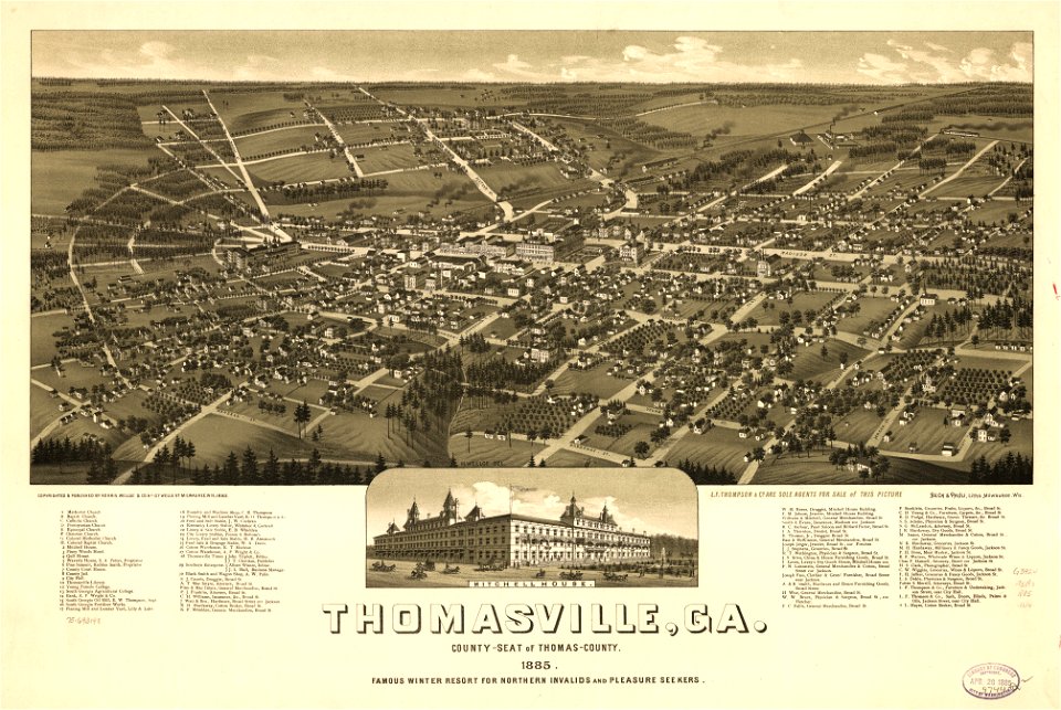
thomasville
georgia
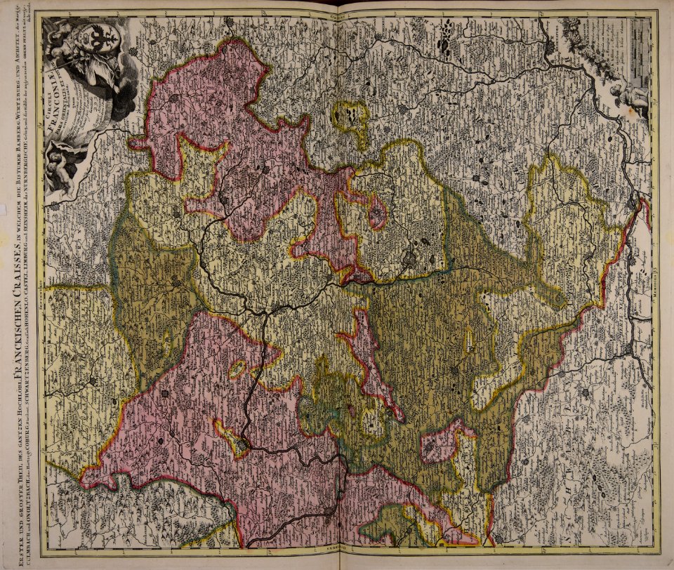
maps made in the 17th century
gerard valck
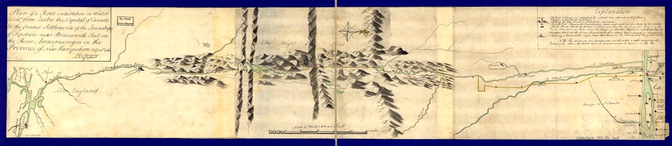
maps in the library of congress
old maps of maine
files from the bodleian libraries
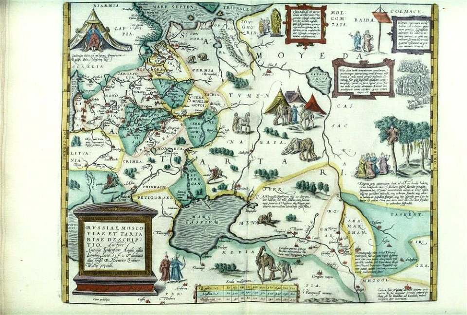
maps of tartary
maps made in the 17th century
gerard valck
coats of arms of cities in eure
old maps of eure
lithographs of paris
université de paris
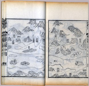
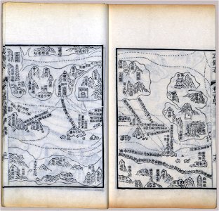
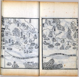
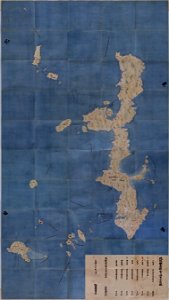
maps in the national archives of japan
genroku kuniezu
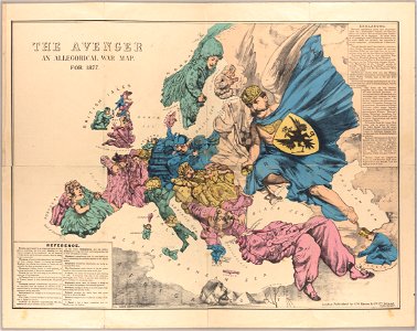
russo-turkish war (1877–1878)
old maps of europe
lithographs of paris
grand châtelet
maps made in the 17th century
gerard valck
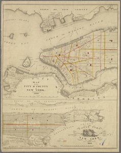
george hayward
new york city
maps in the library of congress
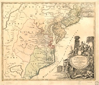
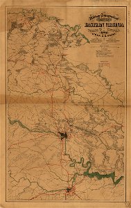
1864 maps of virginia
palais liechtenstein (fürstengasse)
vienna
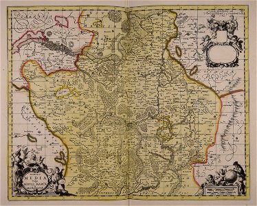
1700s maps of baden-württemberg
bishopric of constance
maps with cartouches
atlas van der hagen
maps made in the 17th century
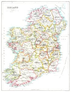
old maps of wales
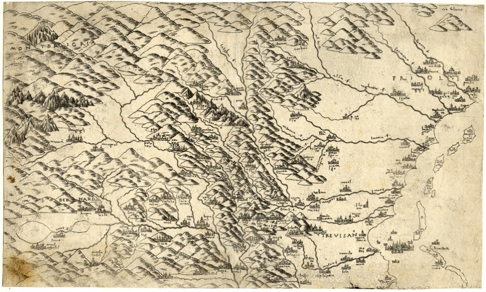
maps made in the 16th century
old maps of veneto
maps made in the 17th century
gerard valck
fonds ancely - bibliothèque municipale de toulouse - maps
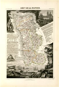
coats of arms of cities in manche
old maps of silesia
gerard valck
4601 - 4700 of 38,713
Next page
/ 388