Log in
All resources
Create a design
Tools
38,713 Free Artworks of Map
maps in the library of congress
maps made in the 17th century
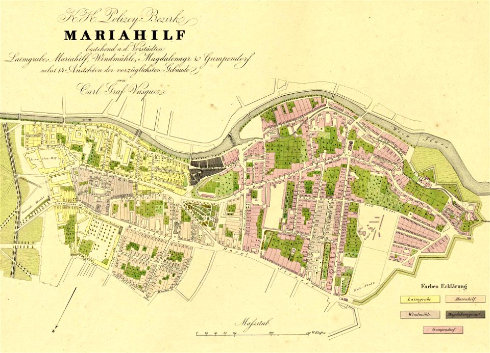
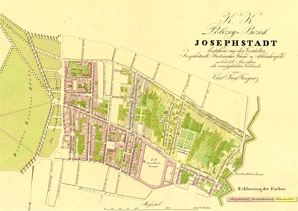
1830 vienna map series by carl graf vasquez
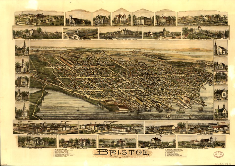
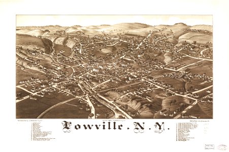
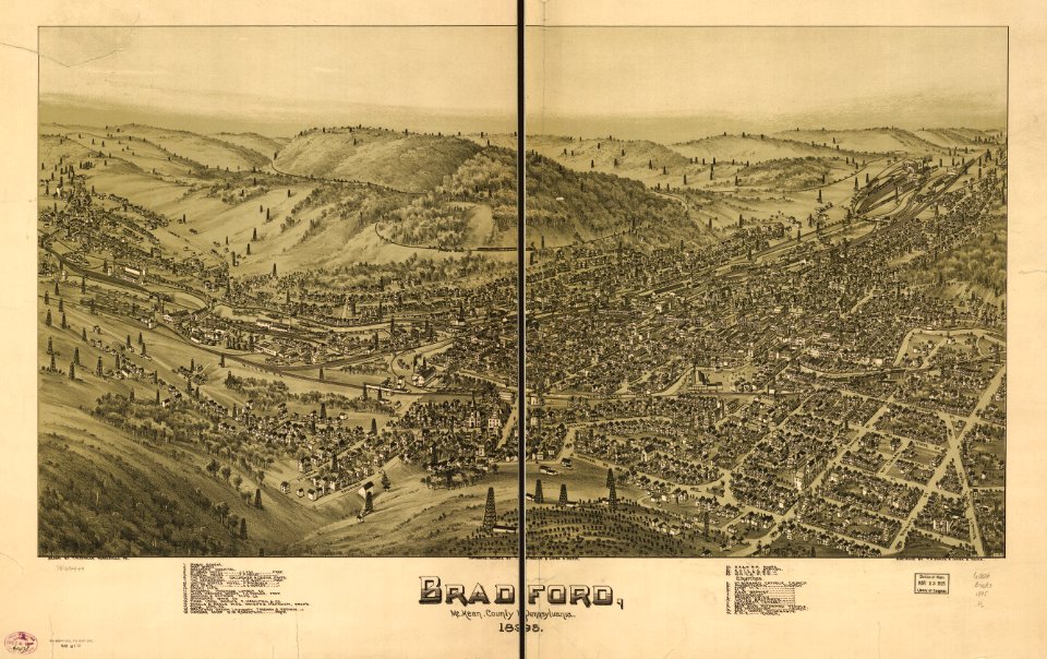
l. r. burleigh
charts and maps of the royal museums greenwich
gerard valck
maps by pieter schenk (i)
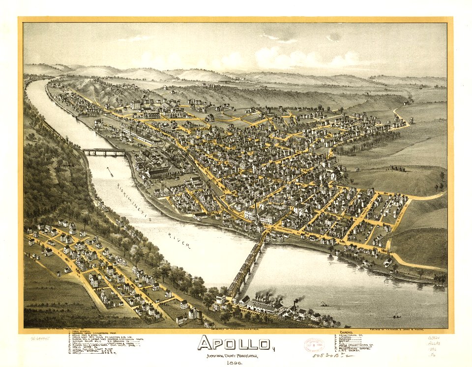
pennsylvania
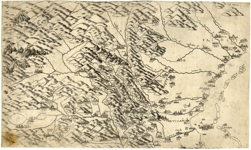
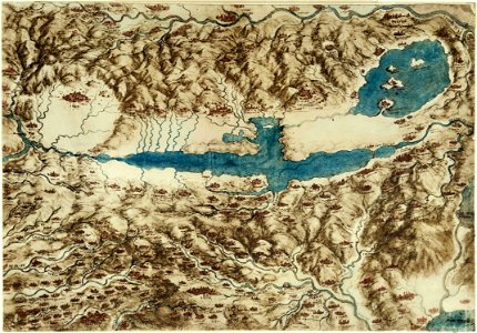
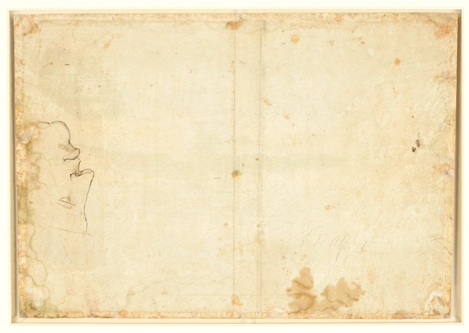
a map of the valdichiana (rcin 912278)
o. h. bailey
hand-drawn maps and views of world war i battlefields by h.m.
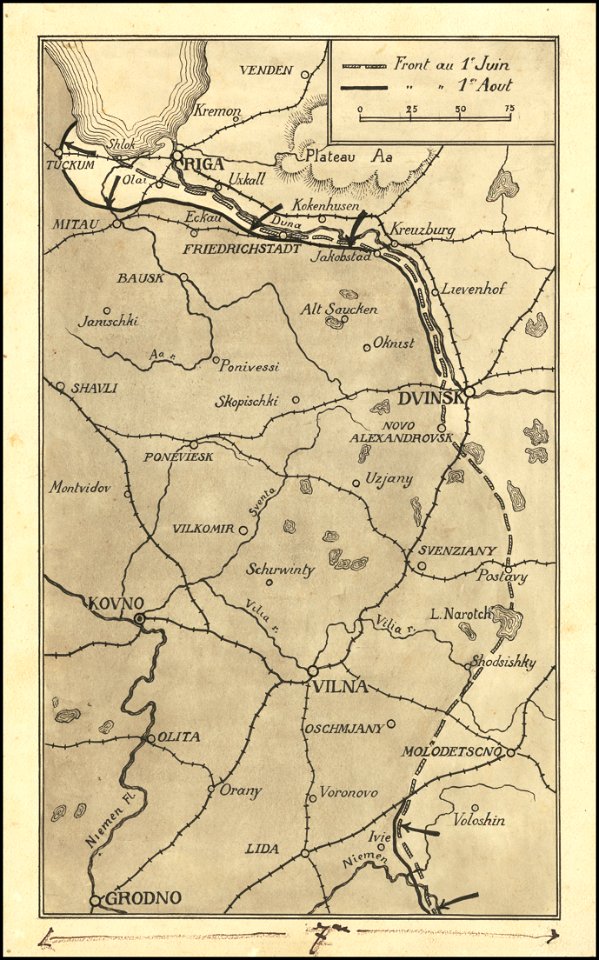
1917 maps of lithuania
lithographs of paris
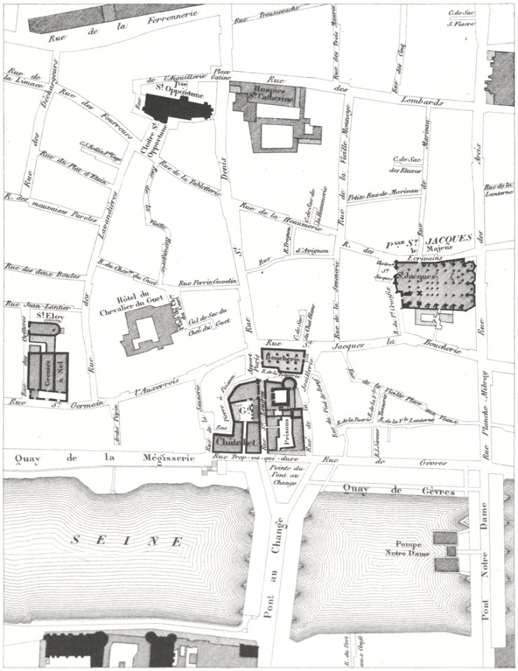
grand châtelet
maps with cartouches
atlas van der hagen
maps made in the 17th century
gerard valck
old maps of silesia
gerard valck
fonds ancely - bibliothèque municipale de toulouse - maps
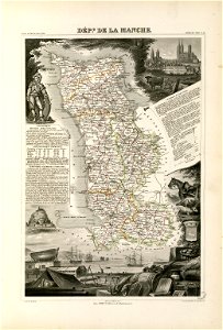
coats of arms of cities in manche
maps in the library of congress
1864 maps of virginia
palais liechtenstein (fürstengasse)
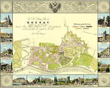
vienna
maps made in the 16th century
old maps of veneto
maps made in the 17th century
gerard valck
george hayward
new york city
1700s maps of baden-württemberg
bishopric of constance
maps made in the 17th century
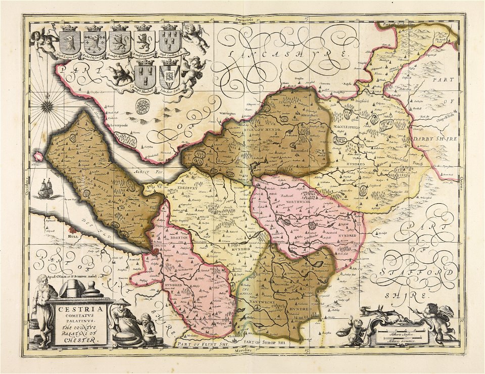
old maps of wales
maps
sea
maps in the library of congress
pennsylvania
maps of world war i by the daily telegraph
old maps of tuscany
codex windsor
old maps of tuscany
codex windsor
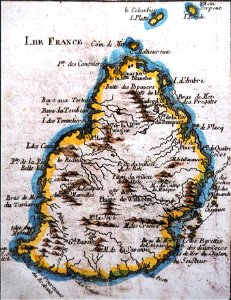
old maps of mauritius
robert surcouf
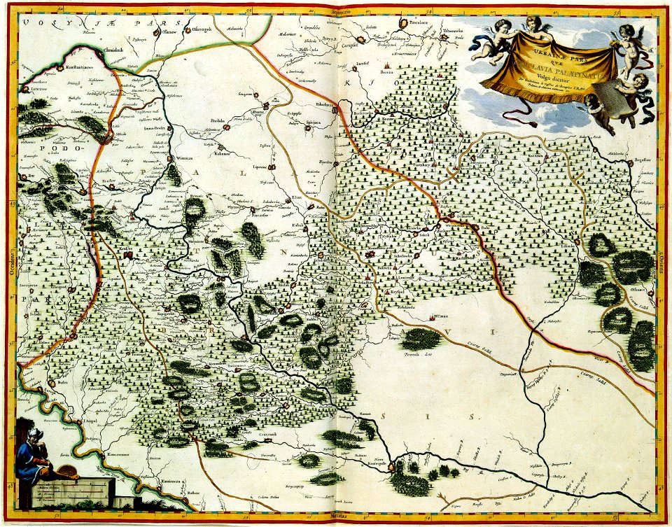
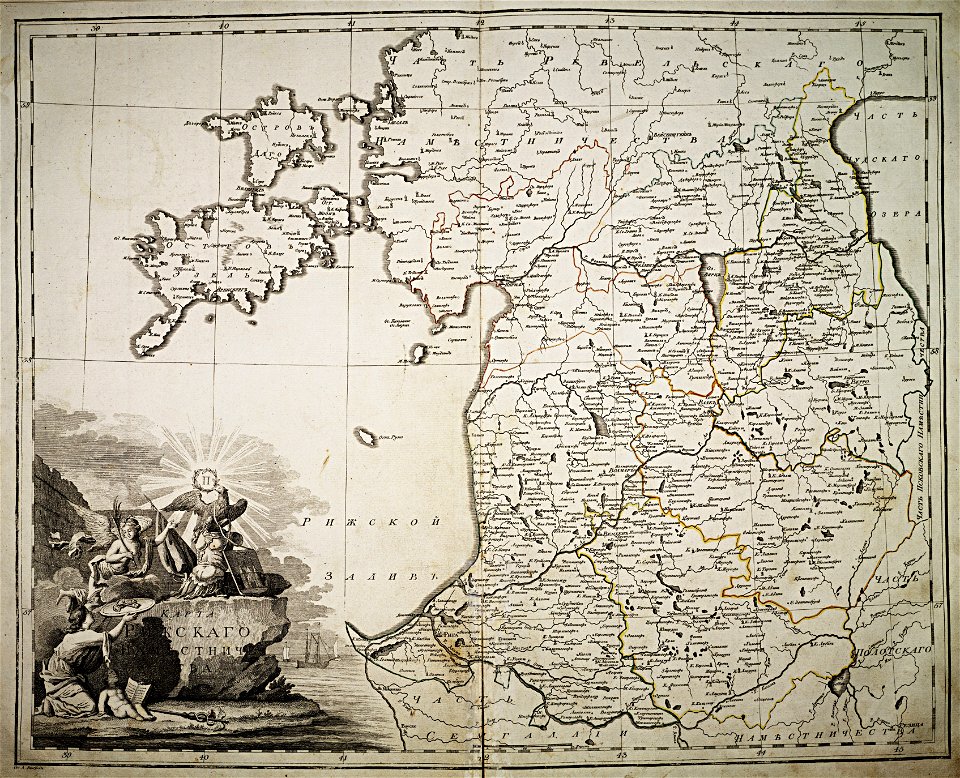
atlas of the russian empire (1792)
18th-century maps of estonia
1830 vienna map series by carl graf vasquez
old maps of vienna
maps in the library of congress
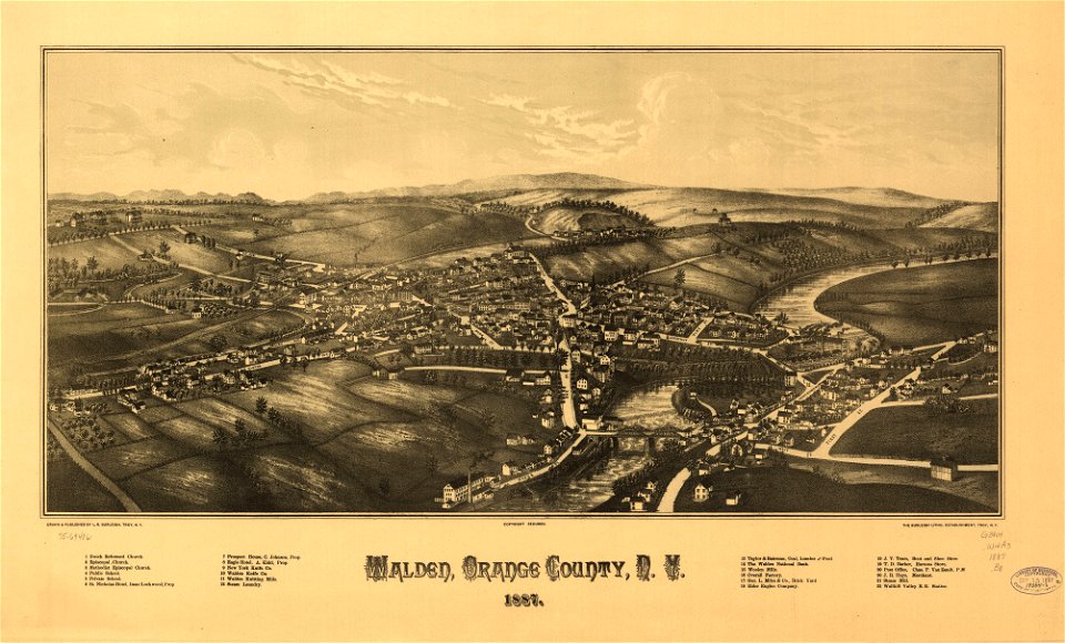
1887 maps of new york (state)
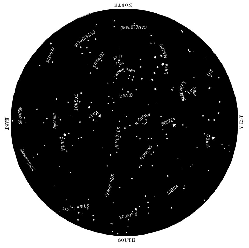
popular science monthly illustrations/volume 31
astronomical maps
cosmographia claudii ptolomaei alexandrini
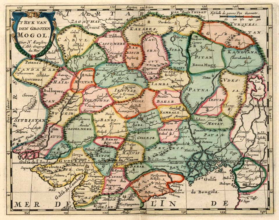
herat
maps in the library of congress
o. h. bailey
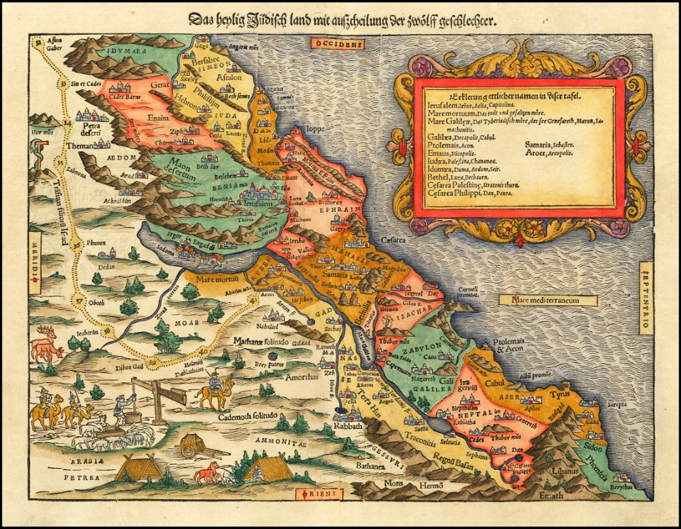
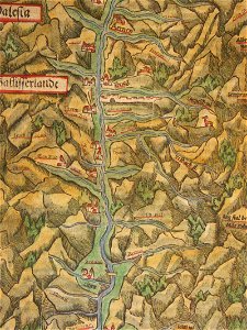
maps by sebastian münster
old maps of the holy land
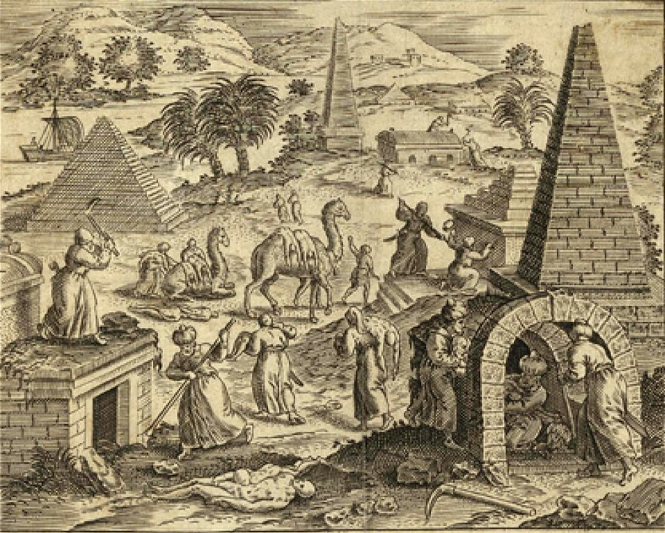
camels in art
1590 maps
prints from dankaerts historis at the peace palace library
old maps of bohemia
old maps of the dutch east india company
1710
maps of the dutch east india company - indonesia
1682)
maps of the dutch east india company - indonesia
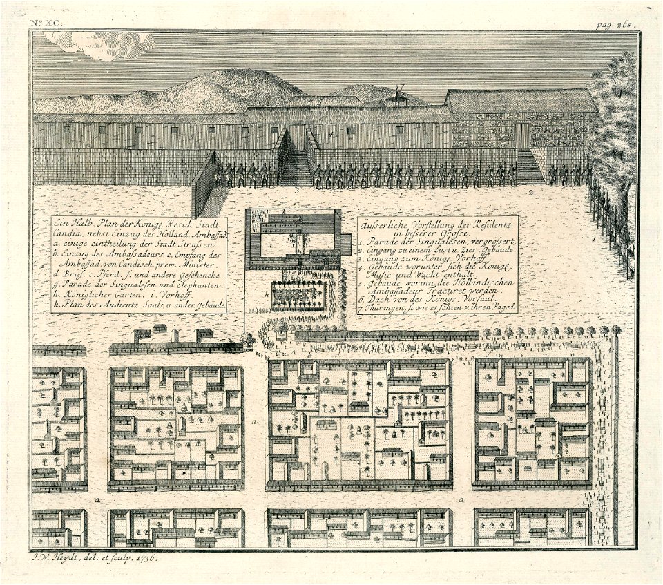
1740
maps of the dutch east india company - indonesia
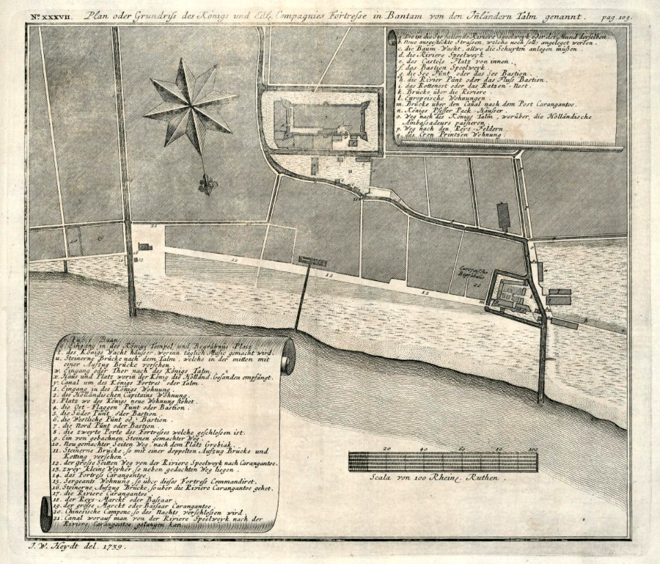
1739
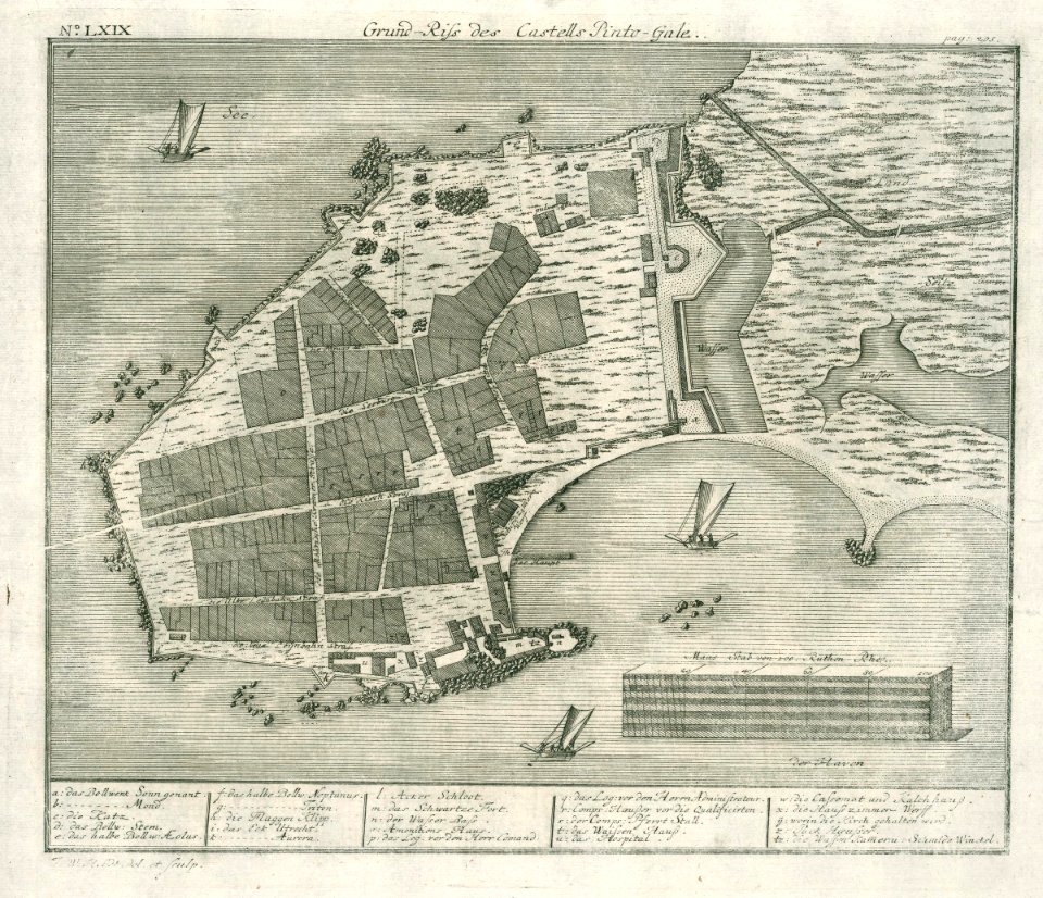
maps of the dutch east india company - sri lanka
1736
maps of the dutch east india company - sri lanka
1730s
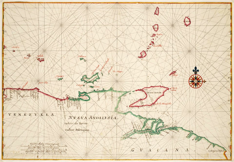
maps of the west-indische compagnie
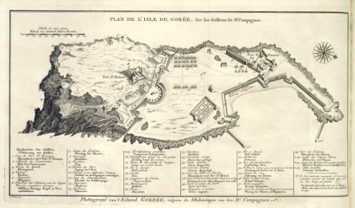
old maps of gorée
maps of the dutch east india company - st helena
1749
maps of the dutch east india company - india
1756
jan huygen van linschoten
1596 maps of asia
maps of the dutch east india company - sri lanka
1787
maps in the library of congress
pennsylvania
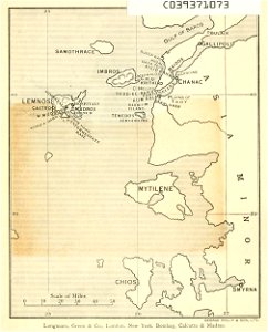
old maps of islands of the aegean sea
bartolommeo dalli sonetti
maps in the library of congress
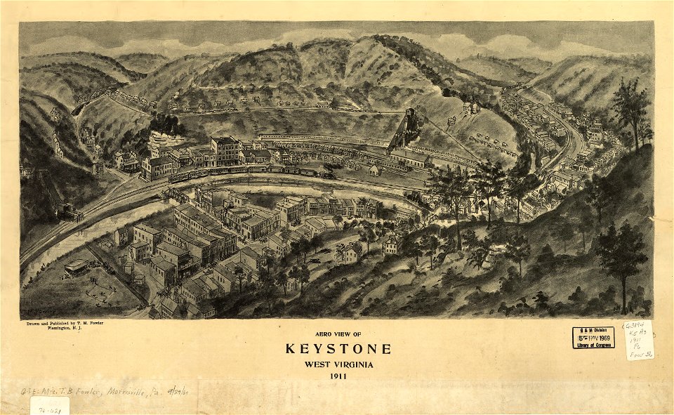
1911 maps of west virginia
a chaplain's experiences
old maps of turkey
small atlas of the russian empire (1796)
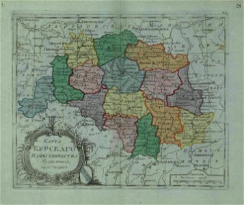
old maps of kursk governorate
illustrations of cosmographia (münster)
old maps of switzerland
maps in london labour and the london poor (1851)
description de l'universe
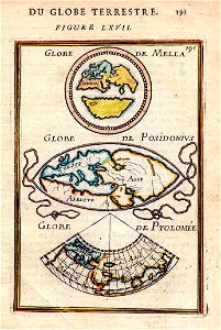
alain manesson-mallet
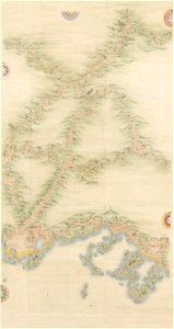
yamaguchi prefectural archives
maps of yamaguchi prefecture
maps in the library of congress
new york
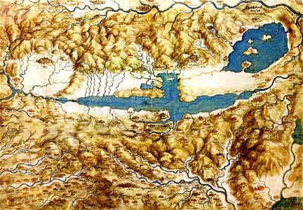
a map of the valdichiana (rcin 912278)
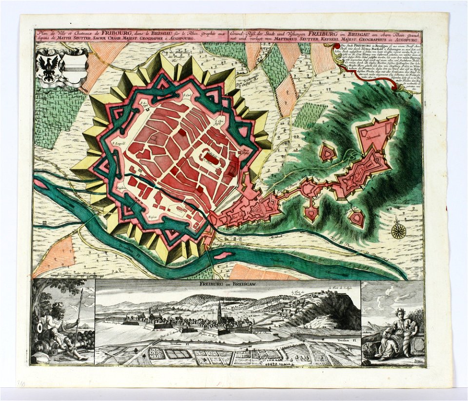
old maps of freiburg im breisgau
maps by matthäus seutter
charts and maps of the royal museums greenwich
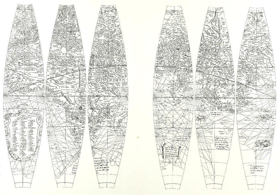
maps composed of gores
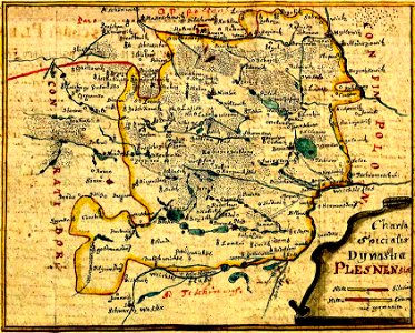
history of pszczyna
old maps of silesia
charte von schwaben (bohnenberger)
old maps of switzerland
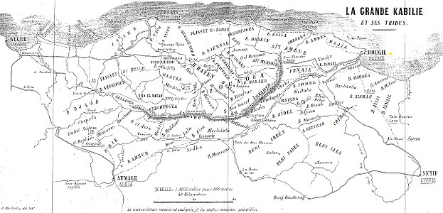
maps of departments of french algeria
maps of kabylie
charts and maps of the royal museums greenwich
1682 maps
maps in the library of congress
1861 maps
maps in the library of congress
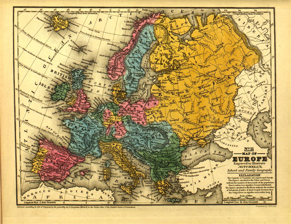
mitchell's school atlas
charts and maps of the royal museums greenwich
1682 maps
massachusetts
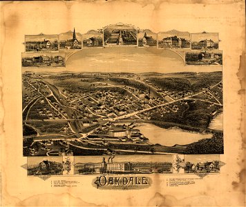
oakdale
nikolskoe (berlin)
1837 maps
map „das herzogthum nassau“ by j.b. fischer
1828
the illustrated london news 1878
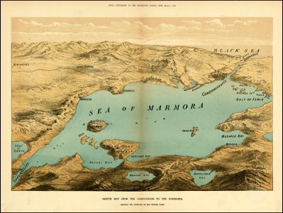
maps of the sea of marmara
coats of arms of baden-württemberg
1710 maps
old maps of switzerland
maps of basel
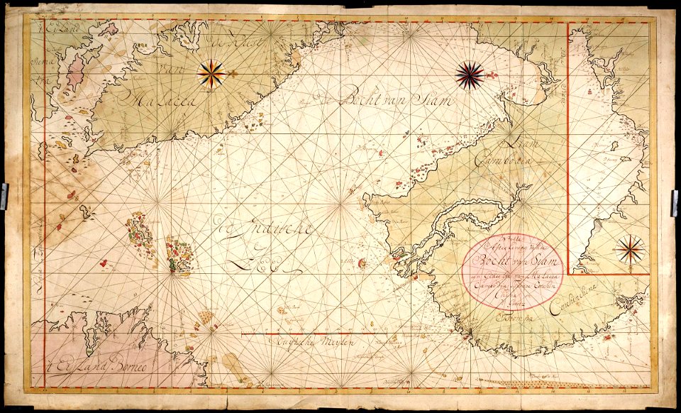
old maps of thailand
maps by coronelli
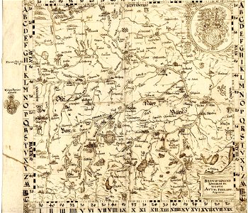
1830 vienna map series by carl graf vasquez
old maps of mariahilf
1830 vienna map series by carl graf vasquez
old maps of josefstadt
dutch-language maps
atlas van loon
16th-century maps of baden-württemberg
chorographia württemberg
details of 1830 vienna map series by carl graf vasquez
old maps of leopoldstadt
maps made in the 16th century
old maps of bavaria
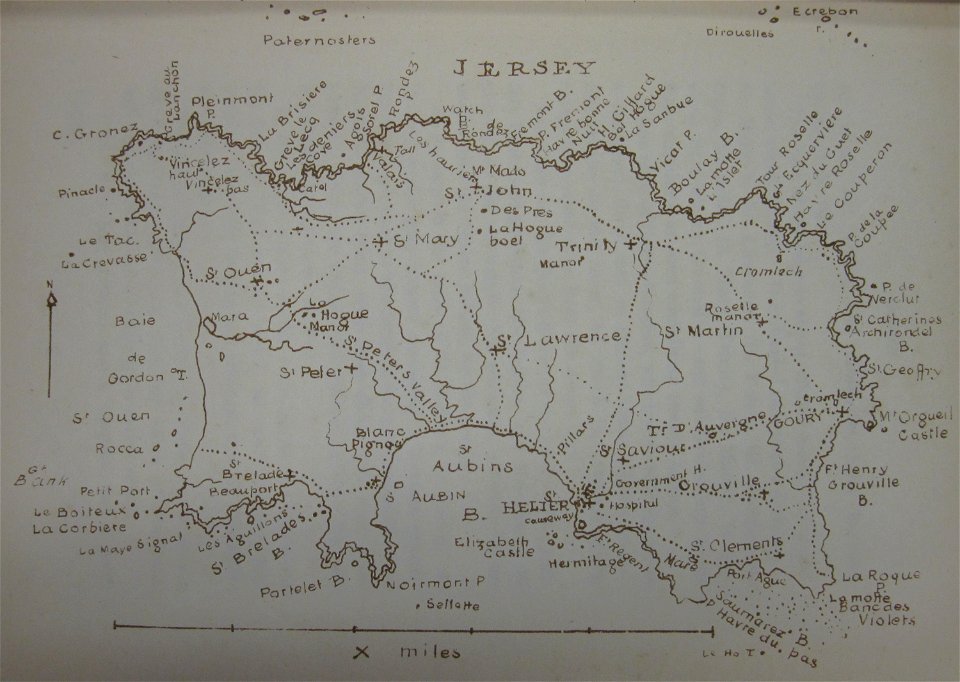
old maps of jersey
1858 maps
charts and maps of the royal museums greenwich
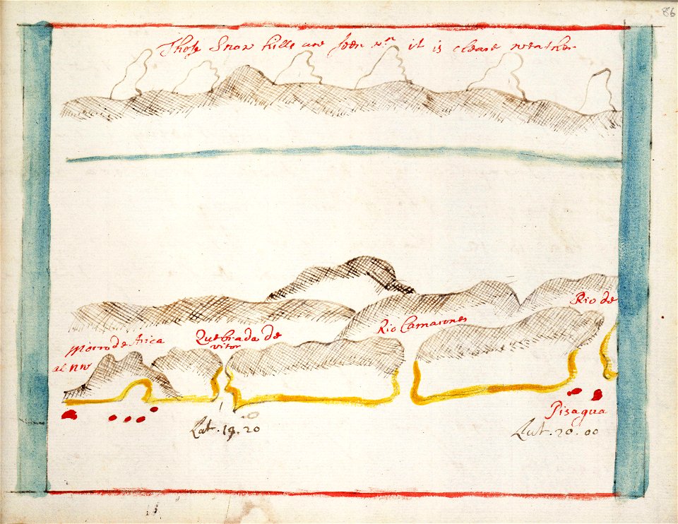
pisagua
vilnius in art
1581
new york
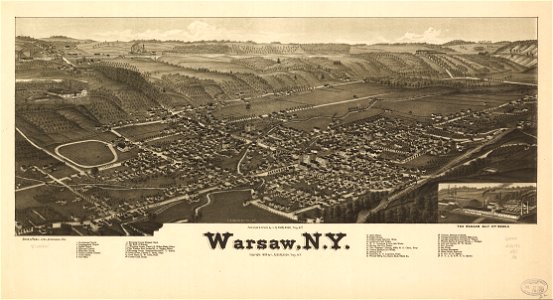
warsaw
airmail stamps of the united states
maps of the united states on stamps
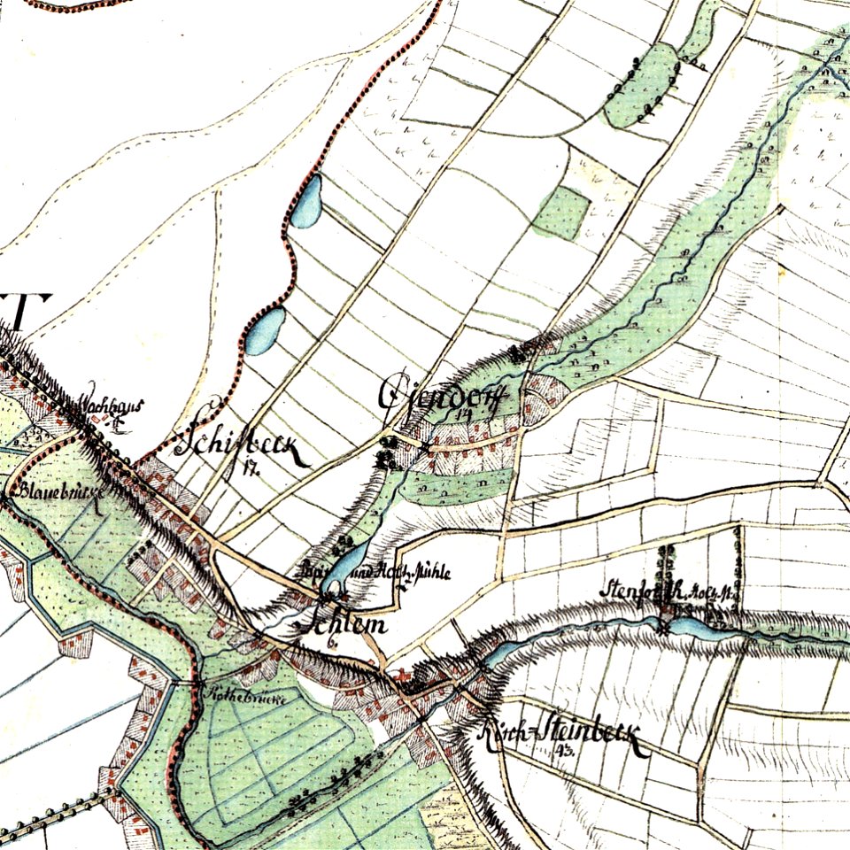
maps by gustav adolf von varendorf
maps of hamburg-billstedt
maps in the library of congress
mitchell's school atlas
new york
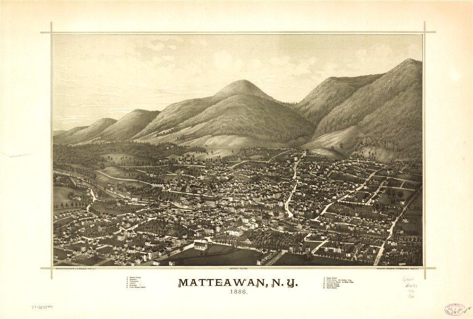
beacon
details of müller's map of bohemia
sázava monastery
old maps of the peloponnese
maps by coronelli
small atlas of the russian empire (1796)
old maps of olonets governorate
small atlas of the russian empire (1796)
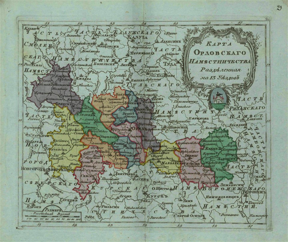
old maps of oryol governorate
itinerarium hierosolymitanum et syriacum..., 1619
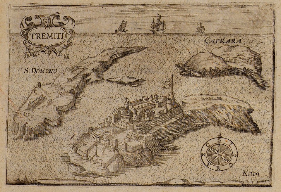
maps of isole tremiti
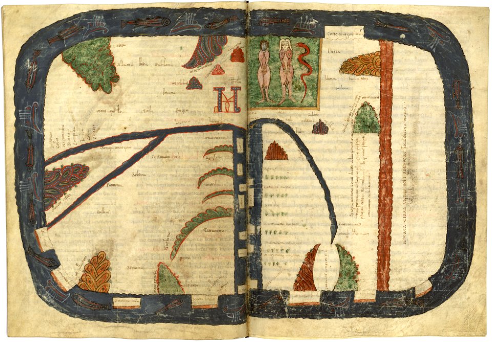
valcavado beatus
map of beatus
maps in the library of congress
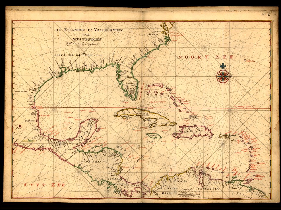
1639 maps of north america
maps in the library of congress
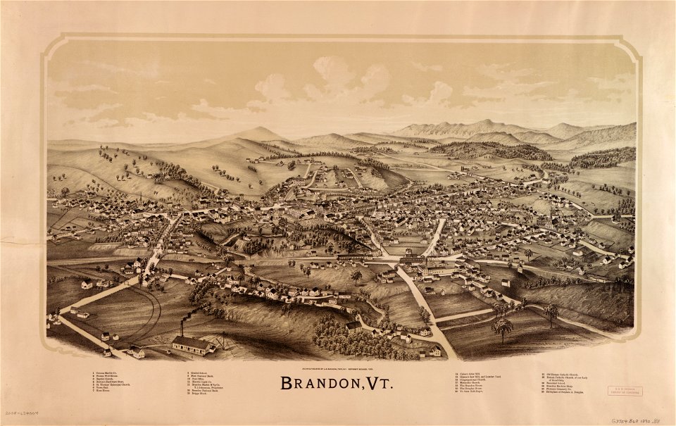
pennsylvania
vermont
brandon
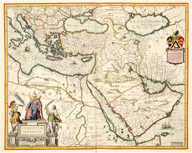
ottoman empire
1635
old maps of islands of the aegean sea
bartolommeo dalli sonetti
old maps of islands of the aegean sea
bartolommeo dalli sonetti
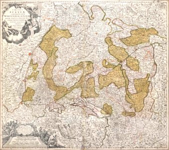
1720s maps of baden-württemberg
johann baptist homann
maps of the dutch east india company - india
1705
maps of the west-indische compagnie
1705
maps of the west-indische compagnie
1665
hans putmans
1665
maps of the dutch east india company - india
1724
maps in the library of congress
o. h. bailey
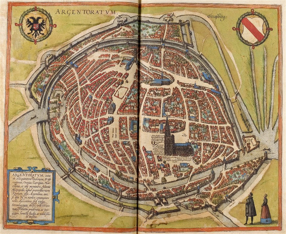
maps of strasbourg in the 16th century
braun & hogenberg
4701 - 4800 of 38,713
Next page
/ 388