Log in
All resources
Create a design
Tools
38,713 Free Artworks of Map
maps in the library of congress
charts and maps of the royal museums greenwich
maps by pieter schenk (i)
maps made in the 17th century
gerard valck
1682 maps
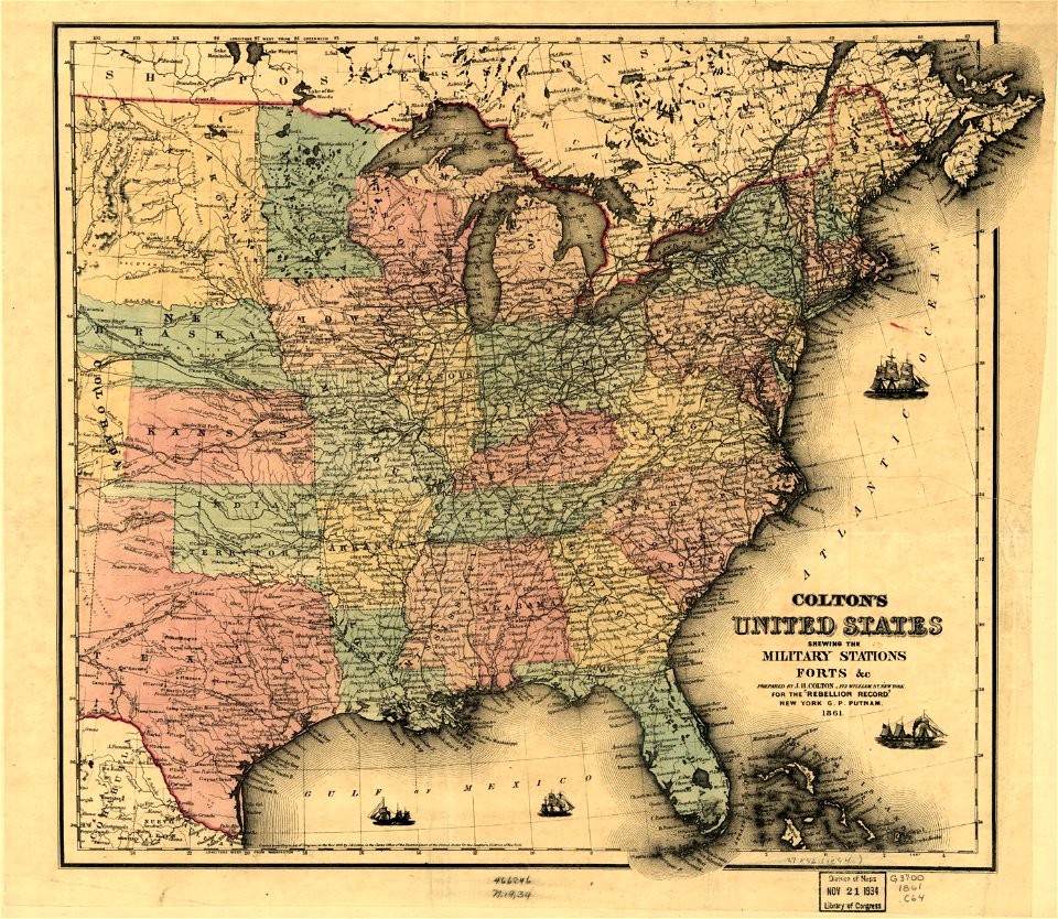
1861 maps
atlas van der hagen
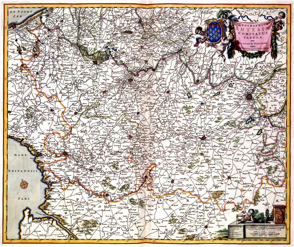
maps with cartouches
atlantis magni tomus tertius (biblioteca comunale di trento)
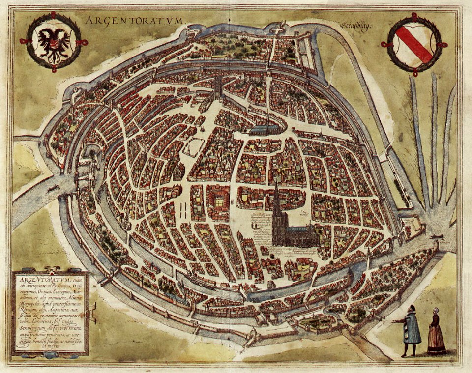
maps of strasbourg in the 16th century
braun & hogenberg
maps in the library of congress
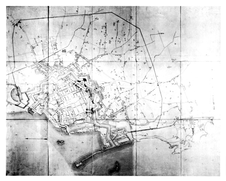
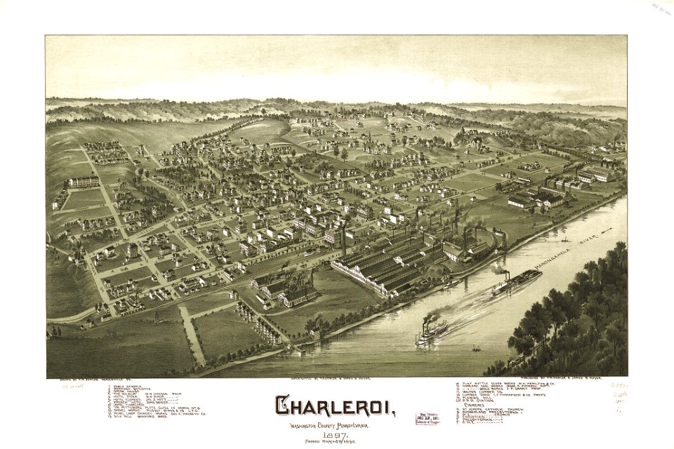
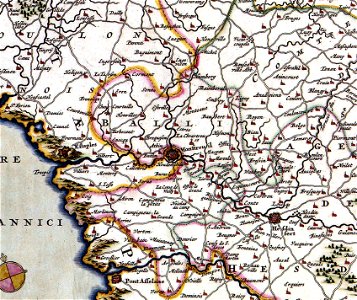
charleroi historic district
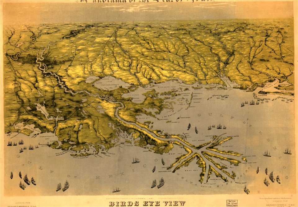
maps in the library of congress
1861 maps
maps in the library of congress
1861 maps
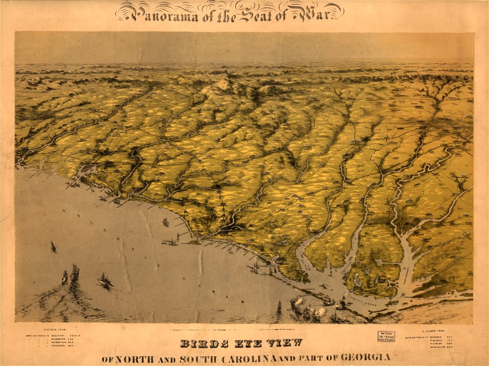
maps in the library of congress
1861 maps
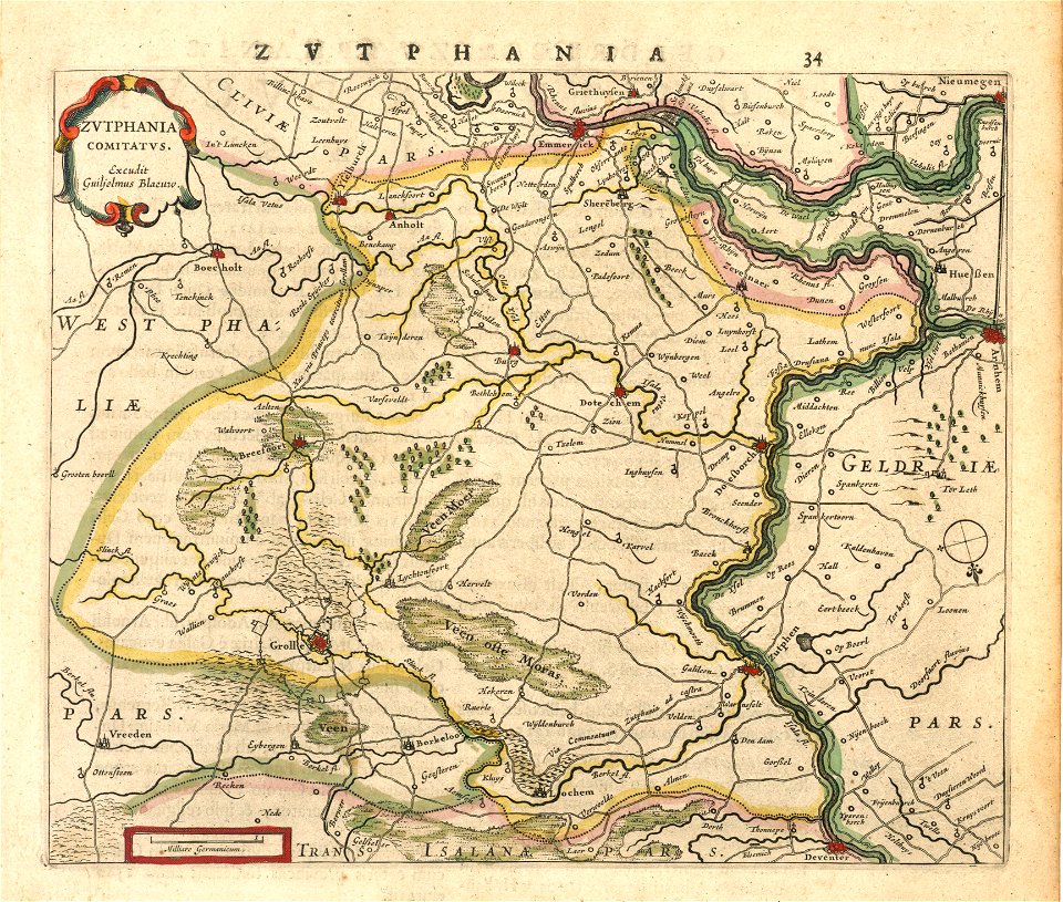
old maps of gelderland
old maps of zutphen
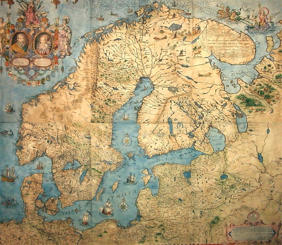
old maps of scandinavia
maps by anders bure
charts and maps of the royal museums greenwich
1682 maps
maps in the library of congress
1716 maps
maps in the library of congress
1716 maps
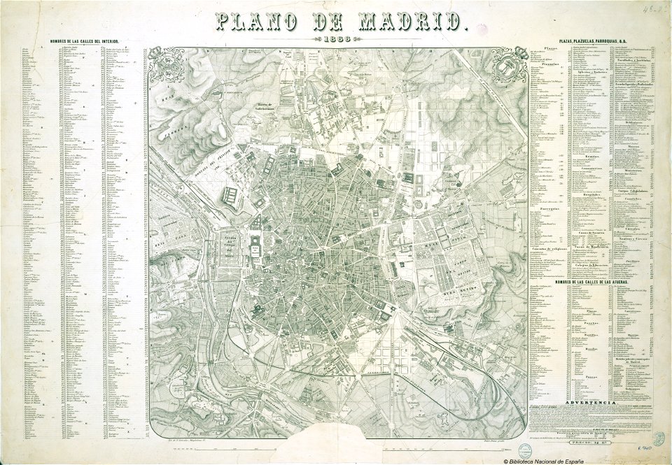
old maps of madrid
1866 maps
the hague in the 1840s
old maps of the hague
maps by willem and johannes blaeu
atlas van loon
geographical illustrations by coronelli
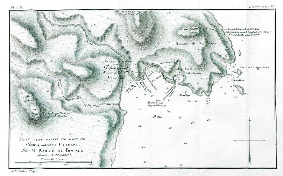
maps of lefkada
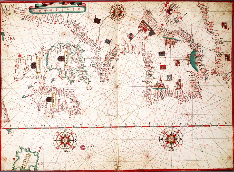
14th-century maps of the mediterranean sea
catalan atlas
14th-century maps of the mediterranean sea
catalan atlas
maps in utrecht university library
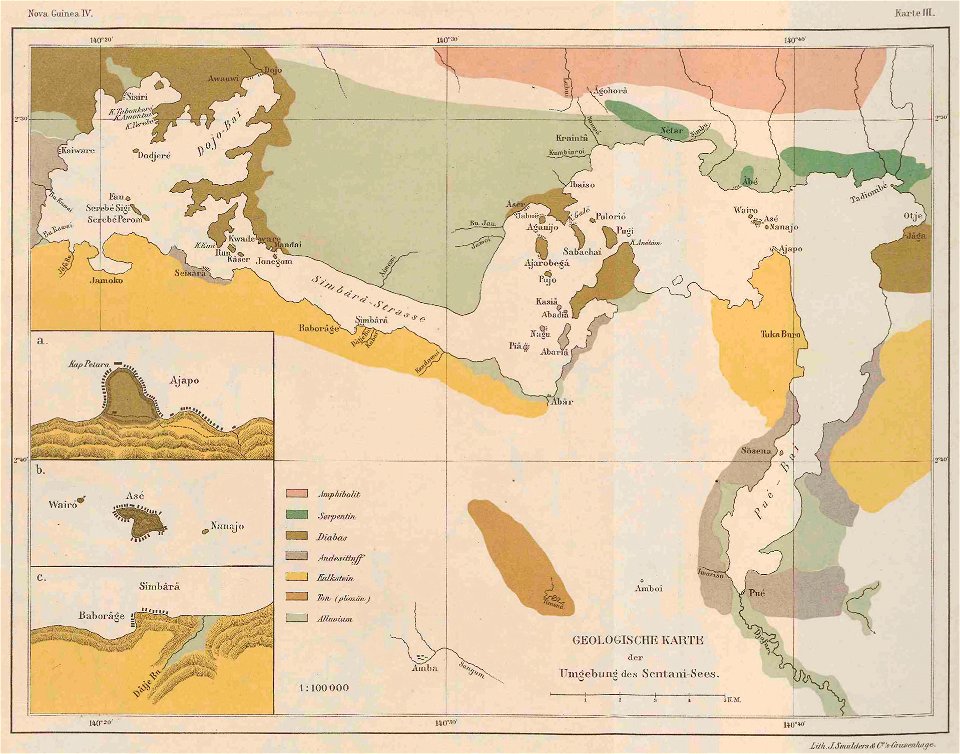
lake sentani
église sainte-marguerite (paris)
rue de charonne (paris)
historical images of the ionian islands
avlemonas
netherlands
the hague
maps with cartouches
old maps of france
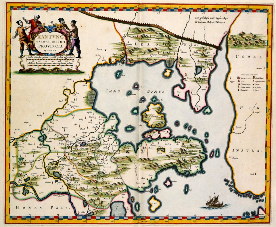
17th-century maps of china
old maps of xinjiang
maps with cartouches
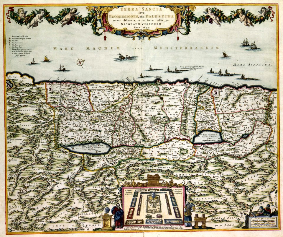
old maps of israel
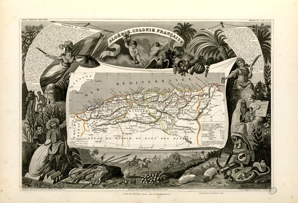
old maps of algeria
french algeria
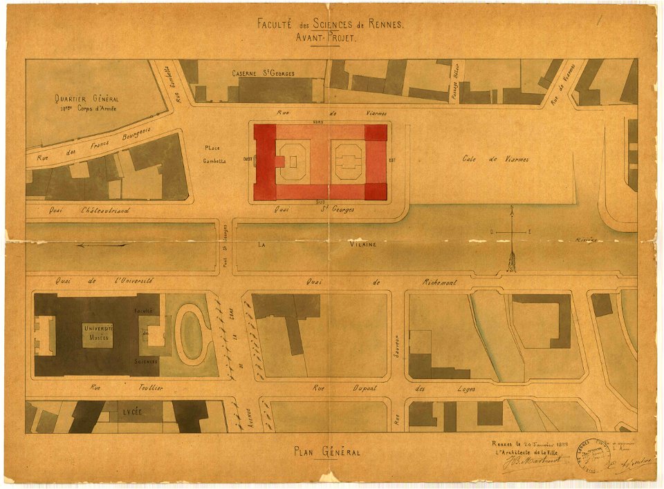
jean-baptiste martenot
1888 in bretagne
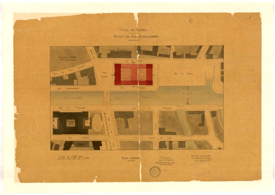
jean-baptiste martenot
1888 in bretagne
maps made in the 17th century
gerard valck
atlantis magni tomus primus (biblioteca comunale di trento)
maps by pieter schenk (i)
maps made in the 17th century
gerard valck
maps made in the 17th century
gerard valck
maps made in the 17th century
gerard valck
maps made in the 17th century
maps by johannes janssonius
maps made in the 17th century
gerard valck
maps made in the 17th century
gerard valck
charts and maps of the royal museums greenwich
1682 maps
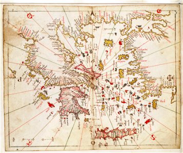
old maps of islands of the aegean sea
bartolommeo dalli sonetti
old maps of islands of the aegean sea
bartolommeo dalli sonetti
old maps of islands of the aegean sea
bartolommeo dalli sonetti
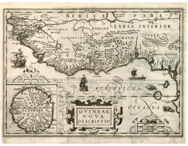
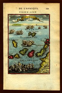
1670s maps of africa
maps by john speed
1540s maps of the world
petrus apianus
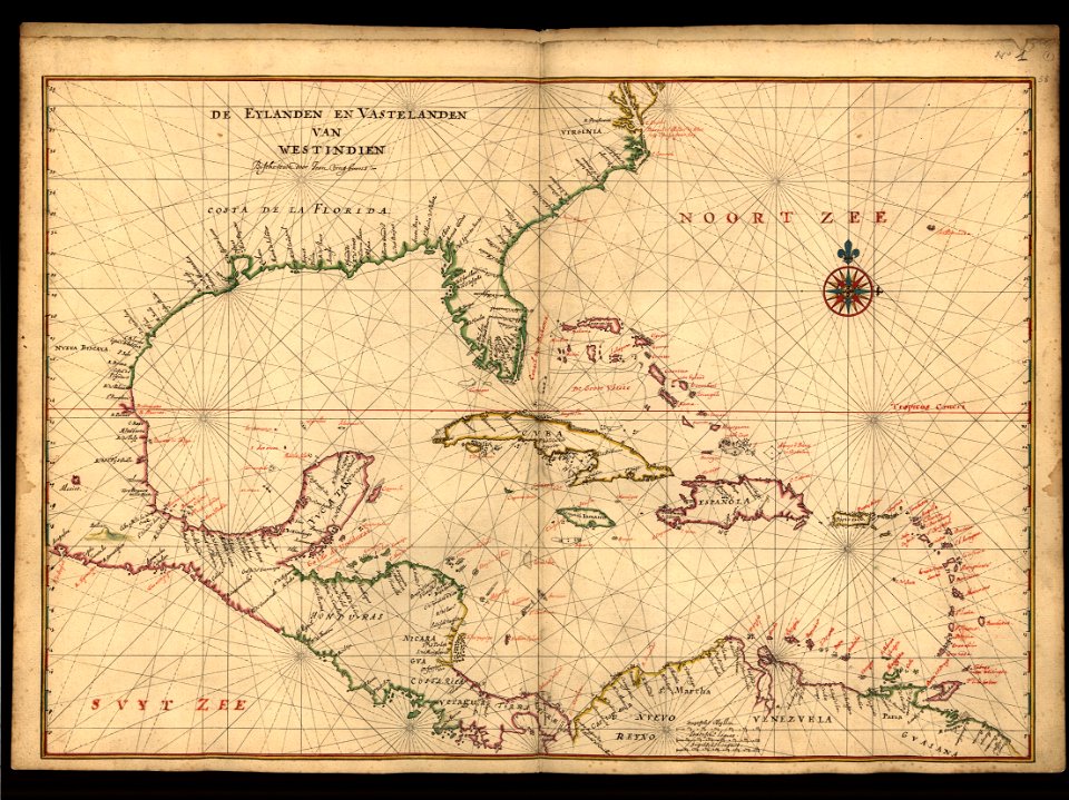
maps of the west-indische compagnie
1614
images from bristol past and present (1882)
millerd's map of bristol
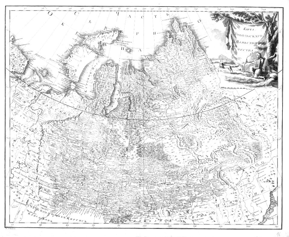
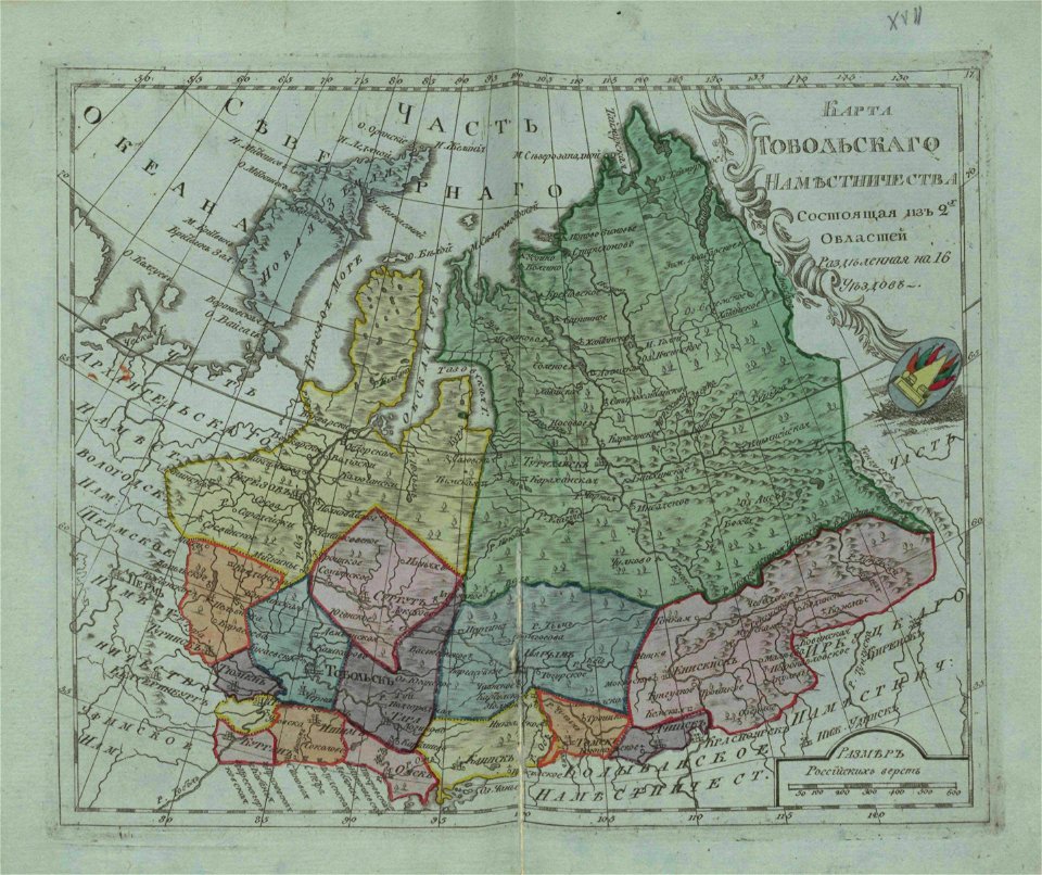
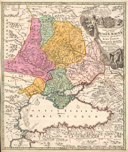
atlas of the russian empire (1792)
old maps of tobolsk governorate
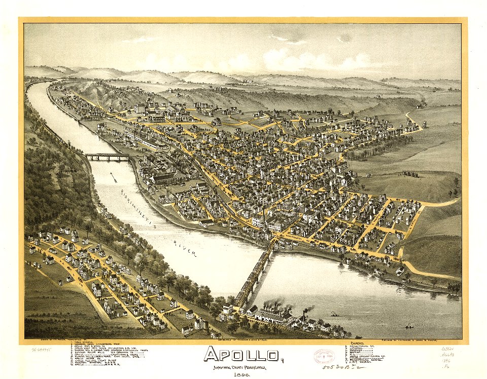
maps in the library of congress
pennsylvania
charts and maps of the royal museums greenwich
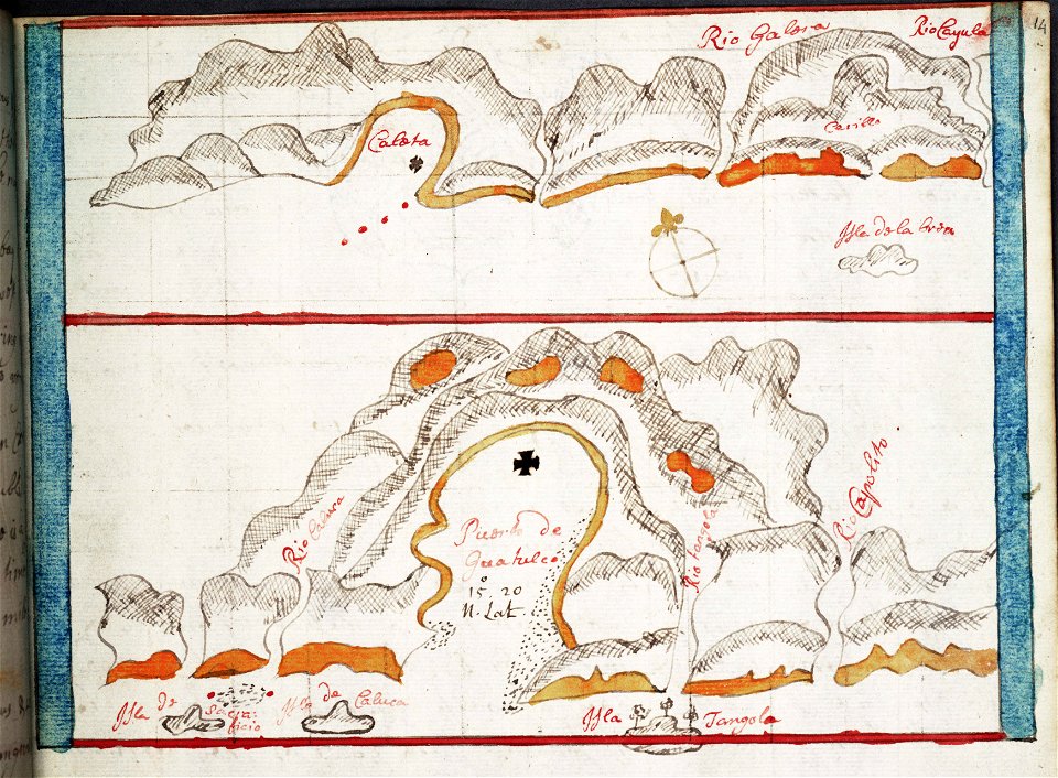
pearl islands
maps in the library of congress
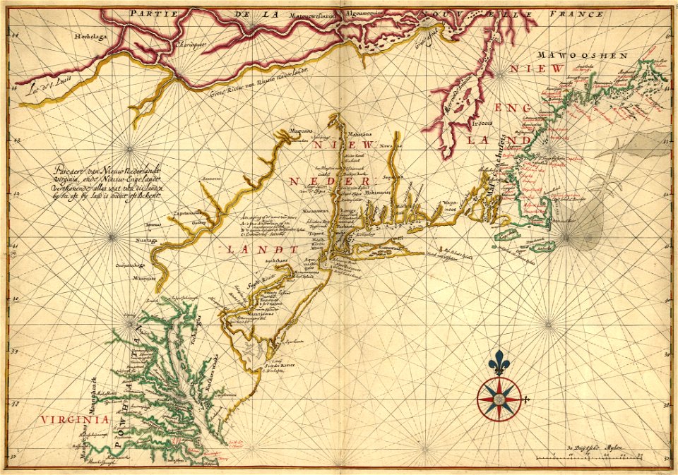
1639 maps of north america
nicolas de fer
1692 maps
old maps of the peloponnese
maps by coronelli
moluccan
1614
maps of the dutch east india company - india
1665
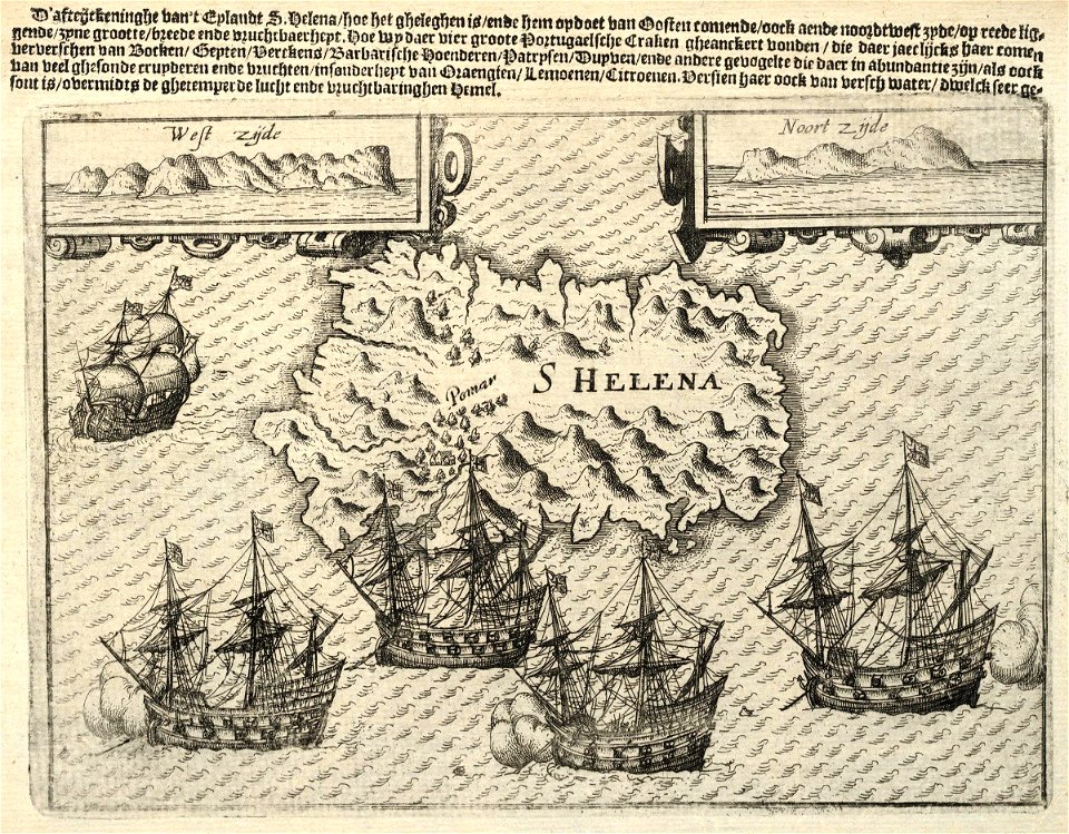
maps of the dutch east india company - st helena
1598
maps of the dutch east india company - south africa
1682)
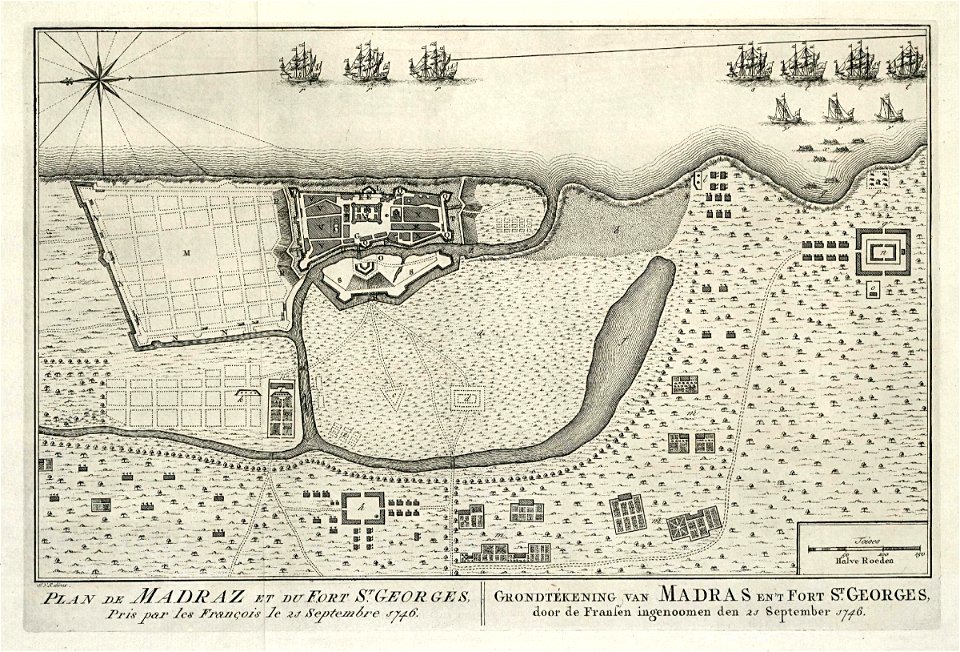
maps of the dutch east india company - india
1756
maps of the dutch east india company - indonesia
1763
old maps of the dutch east india company
1775
maps of xiamen
xiamen
maps made in the 17th century
history of dorsten
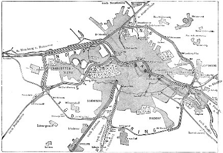
19th-century maps of berlin
maps by brockhaus
geographical illustrations by coronelli
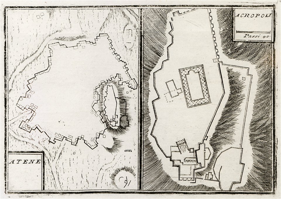
old maps of athens
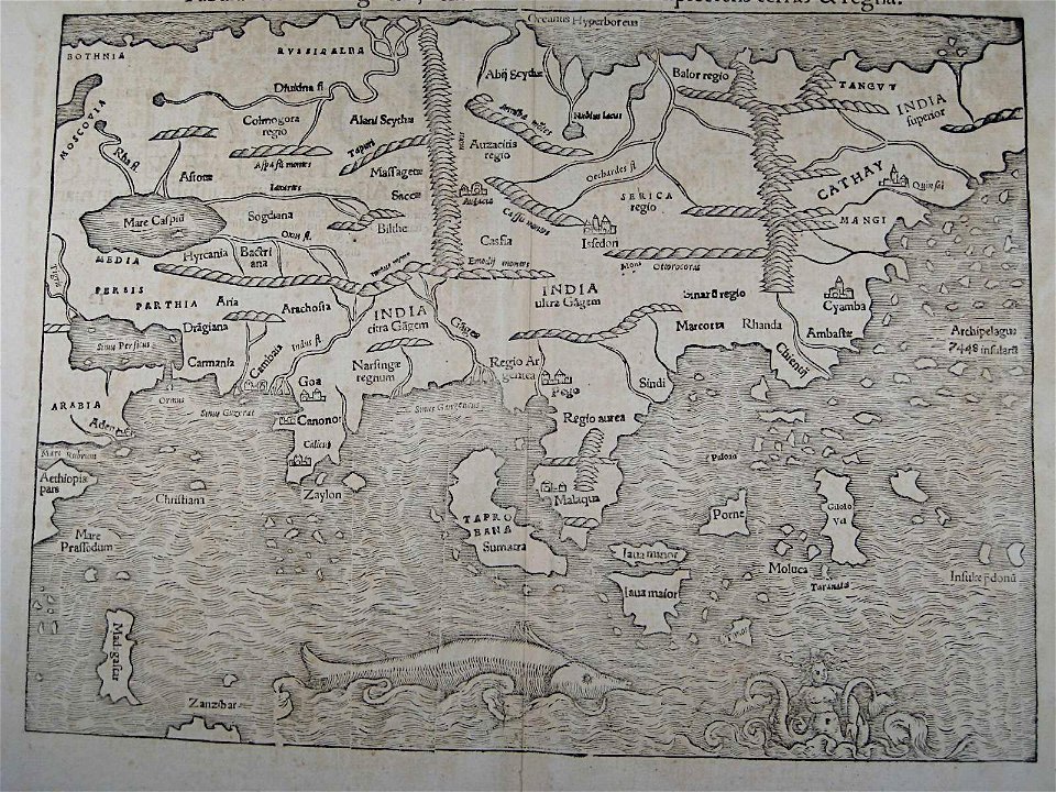
illustrations of cosmographia (münster)
old maps of asia
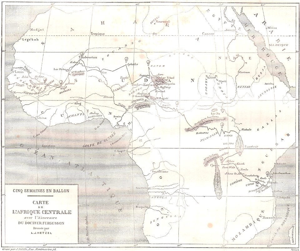
topographic maps of africa
maps in literature
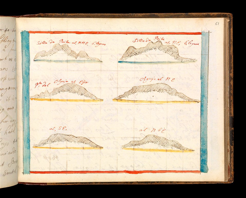
charts and maps of the royal museums greenwich
1682 maps
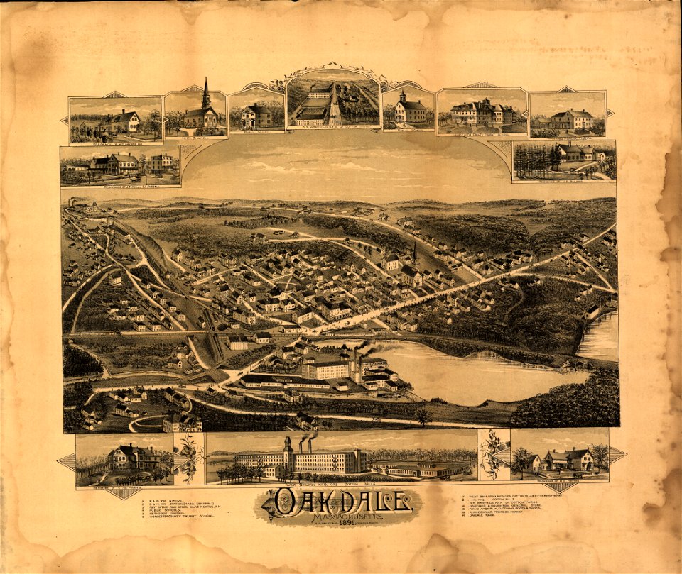
massachusetts
oakdale
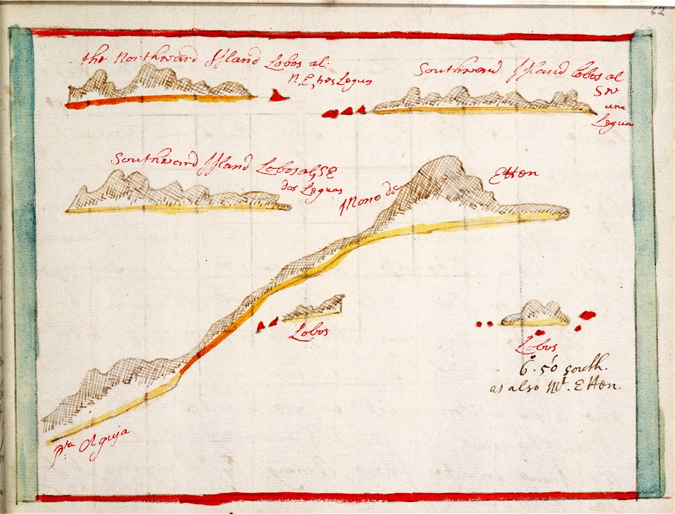
charts and maps of the royal museums greenwich
1682 maps
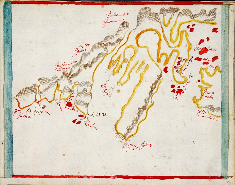
charts and maps of the royal museums greenwich
1682 maps
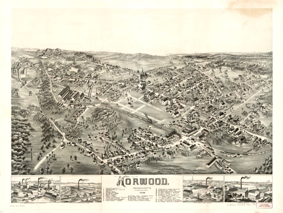
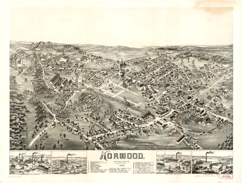
massachusetts
norwood
massachusetts
norwood
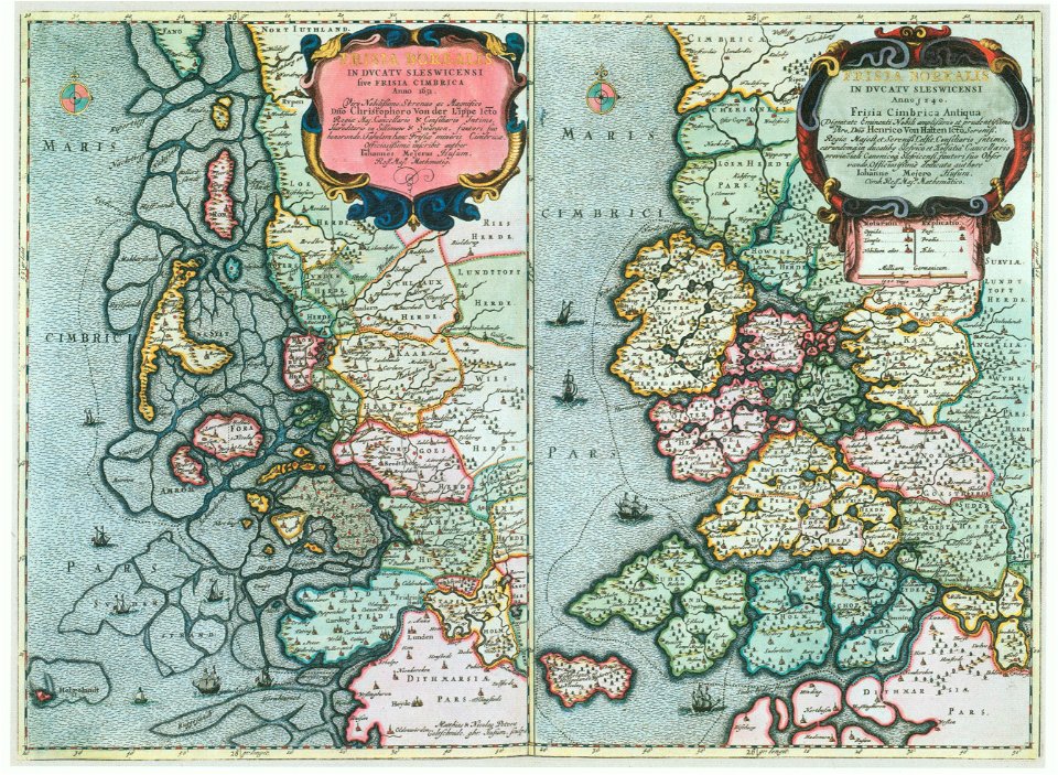
maps by johannes mejer
kreis nordfriesland
massachusetts
southbridge
maps of world war i by the daily telegraph
pictorial maps
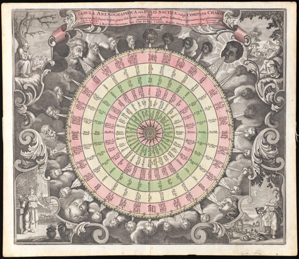
compass rose
images from the new york public library
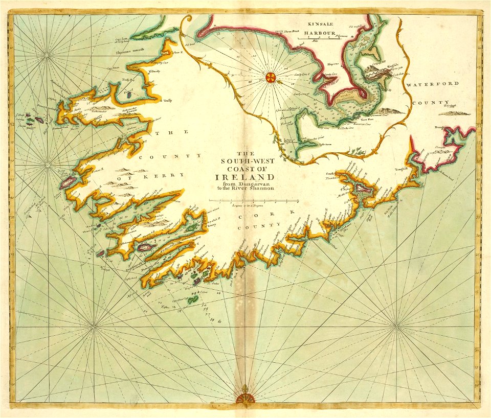
old maps of ireland
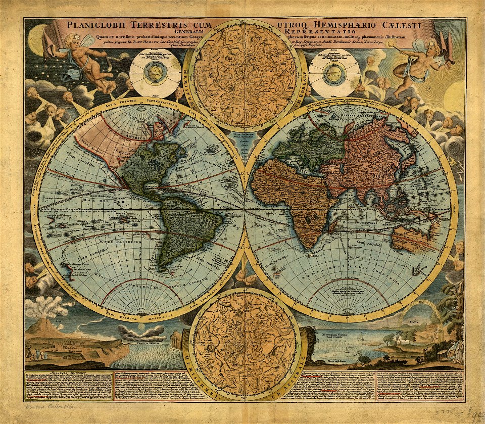
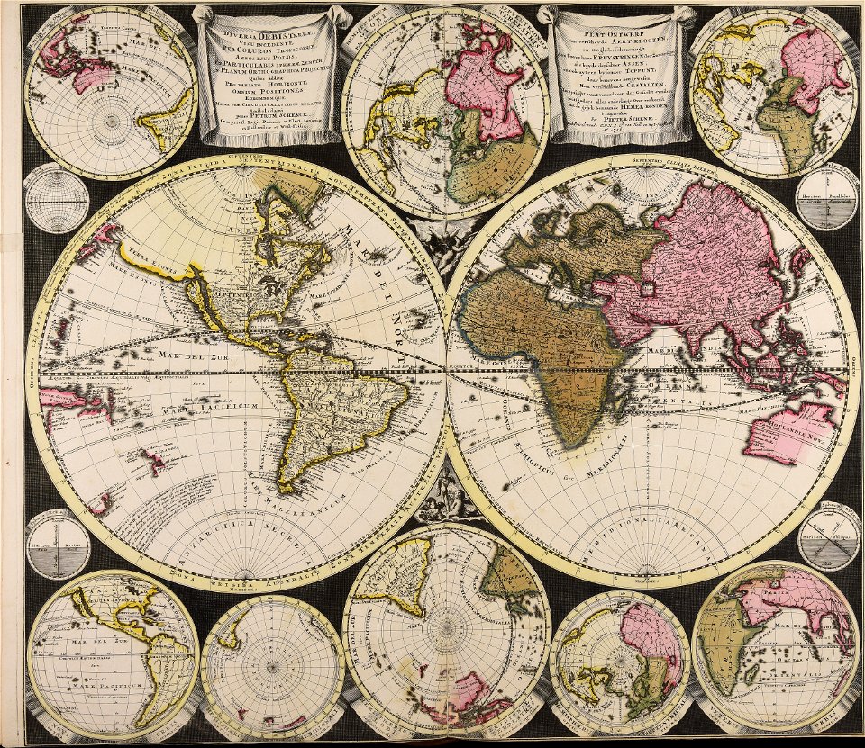
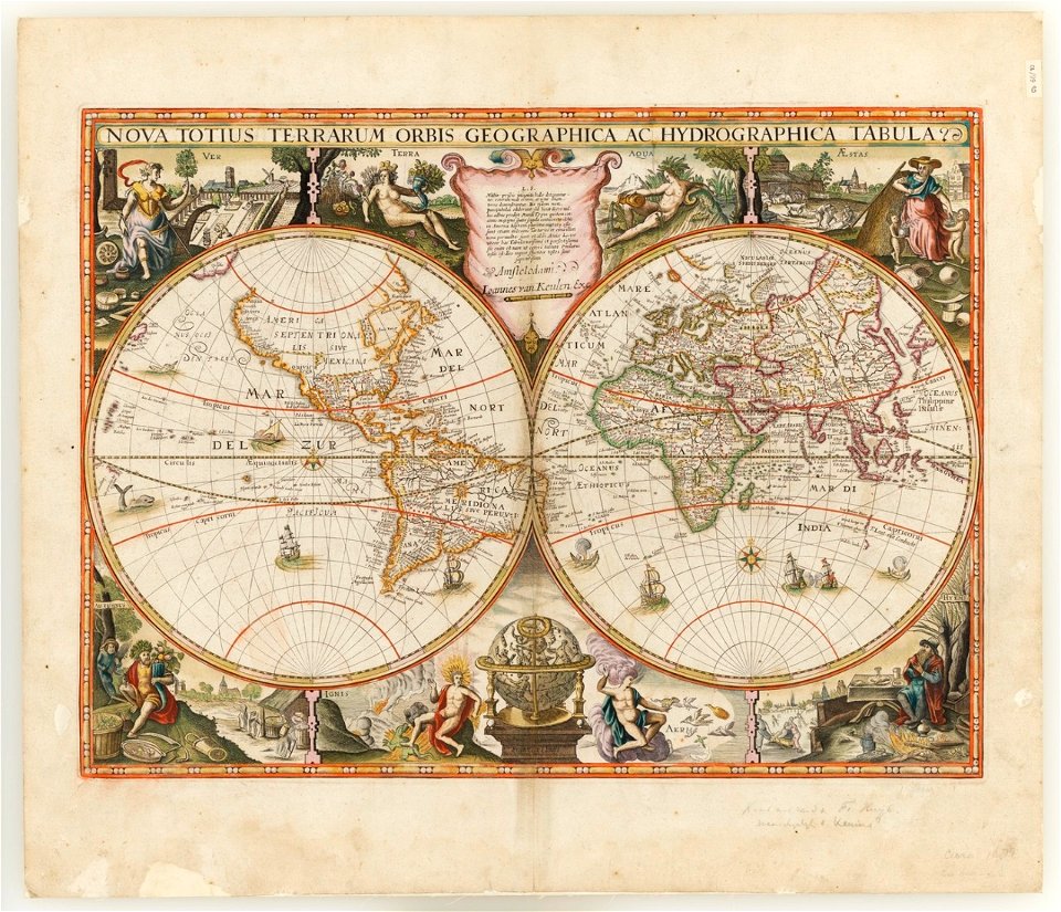
double hemisphere world maps
johannes van keulen
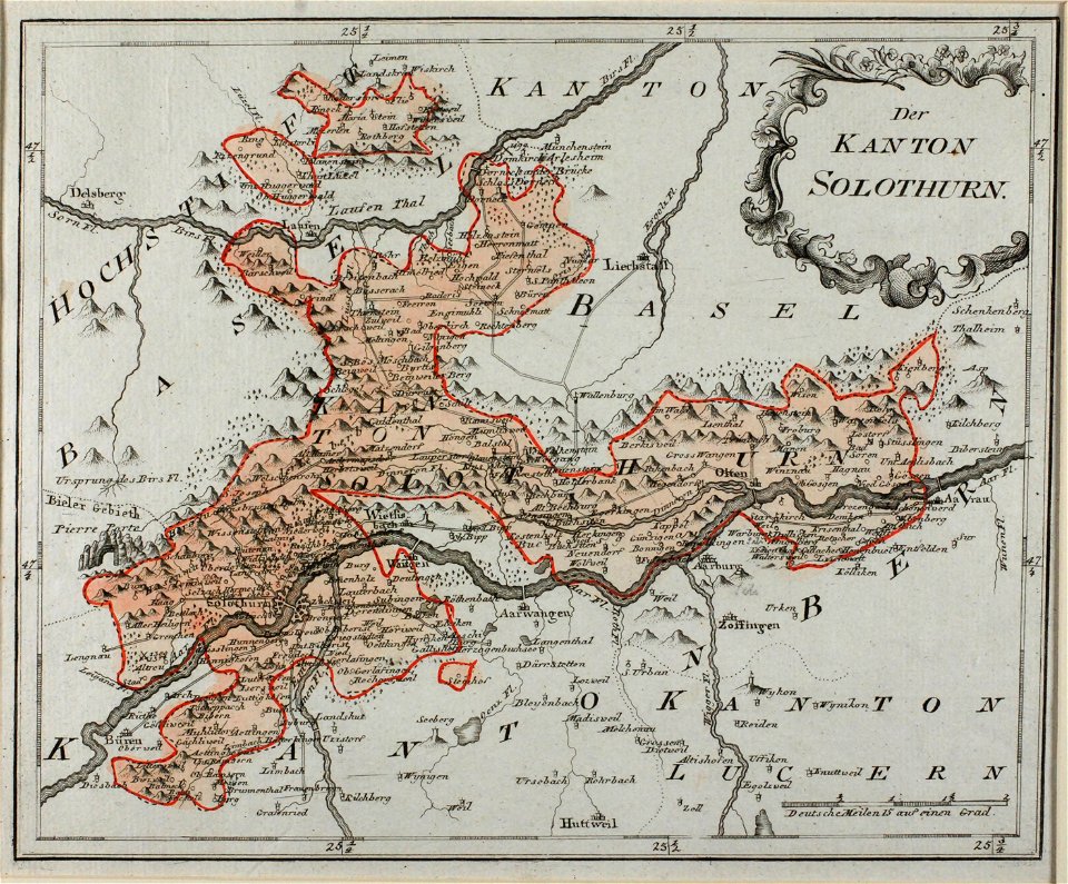
historical images of solothurn
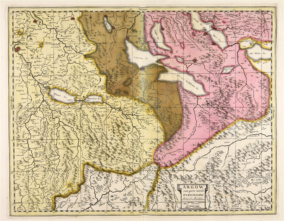
old maps of switzerland
claudio monteverdi
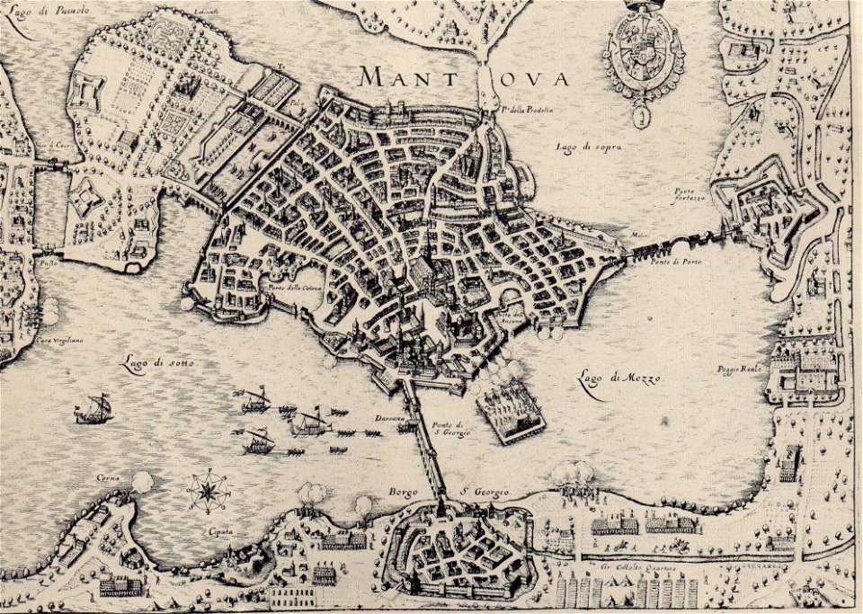
history of mantua
maps in the library of congress
1861 maps
maps in the library of congress
1861 maps
charts and maps of the royal museums greenwich
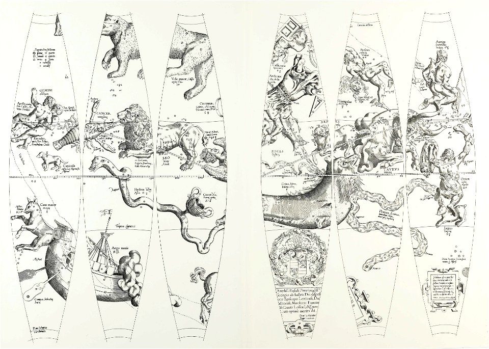
maps composed of gores
old maps of livorno
luigi cambray digny
small atlas of the russian empire (1796)
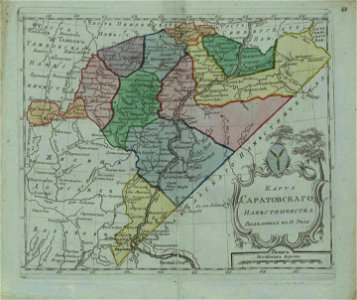
old maps of saratov governorate
old maps of the canary islands
description de l'universe
illustrations of cosmographia (münster)
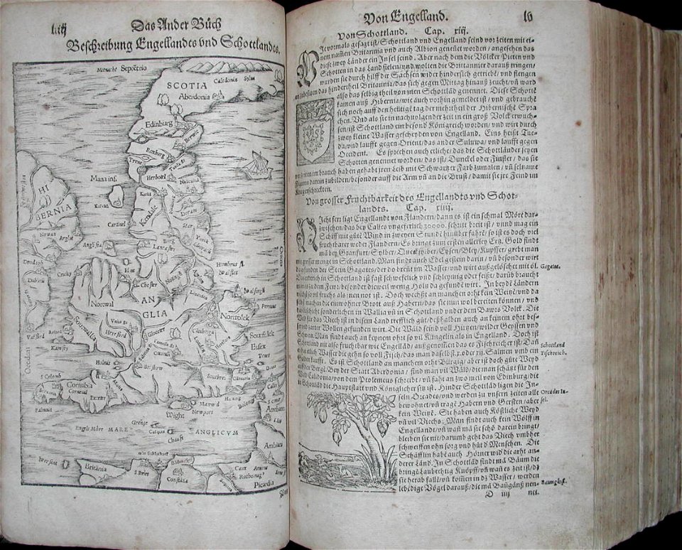
old maps of the british isles
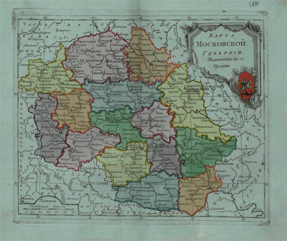
small atlas of the russian empire (1796)
old maps of moscow governorate
charts and maps of the royal museums greenwich
1572 maps
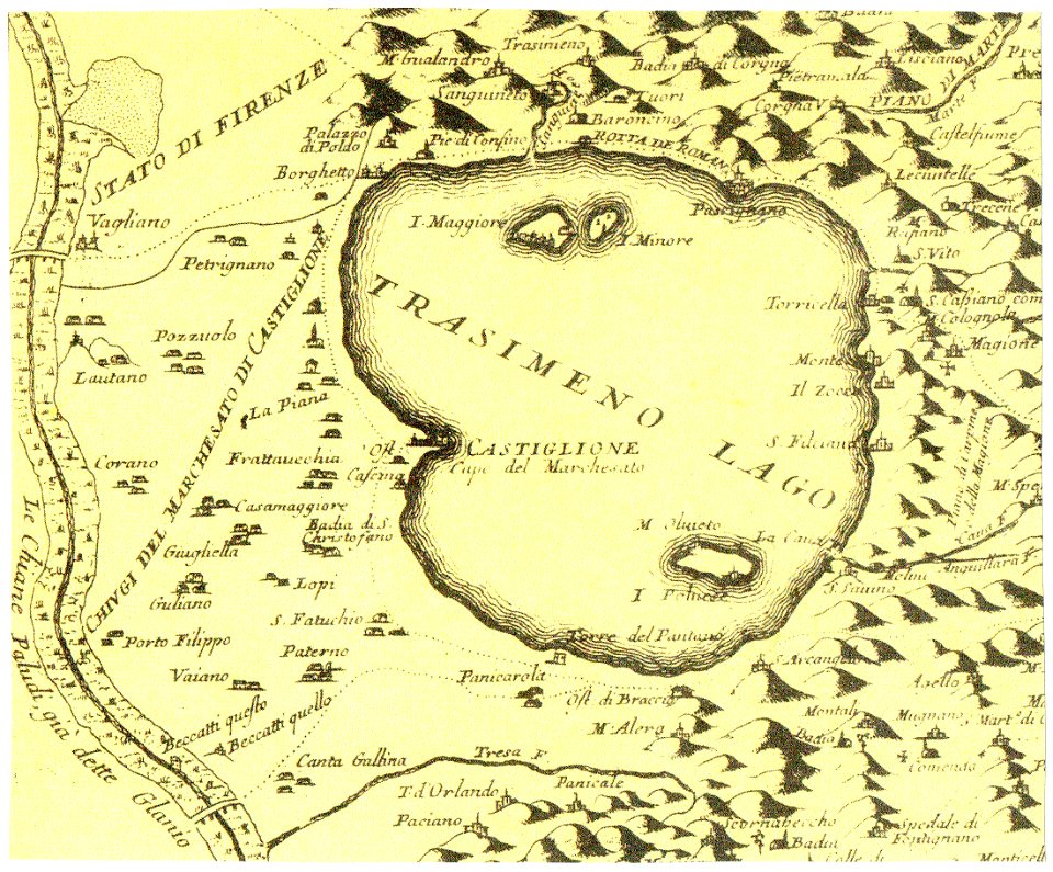
historical images of castiglione del lago
old maps of umbria
maps in the library of congress
charleroi historic district
charts and maps of the royal museums greenwich
maps composed of gores
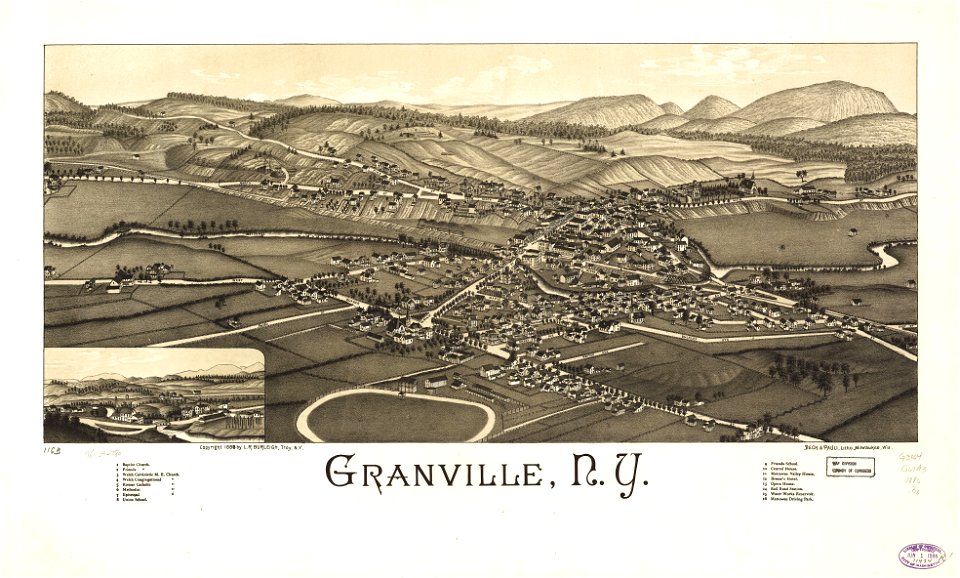
granville
new york
charts and maps of the royal museums greenwich
old maps of the aegean sea
1680s maps of baden-württemberg
1681 maps
small atlas of the russian empire (1796)
old maps of tobolsk governorate
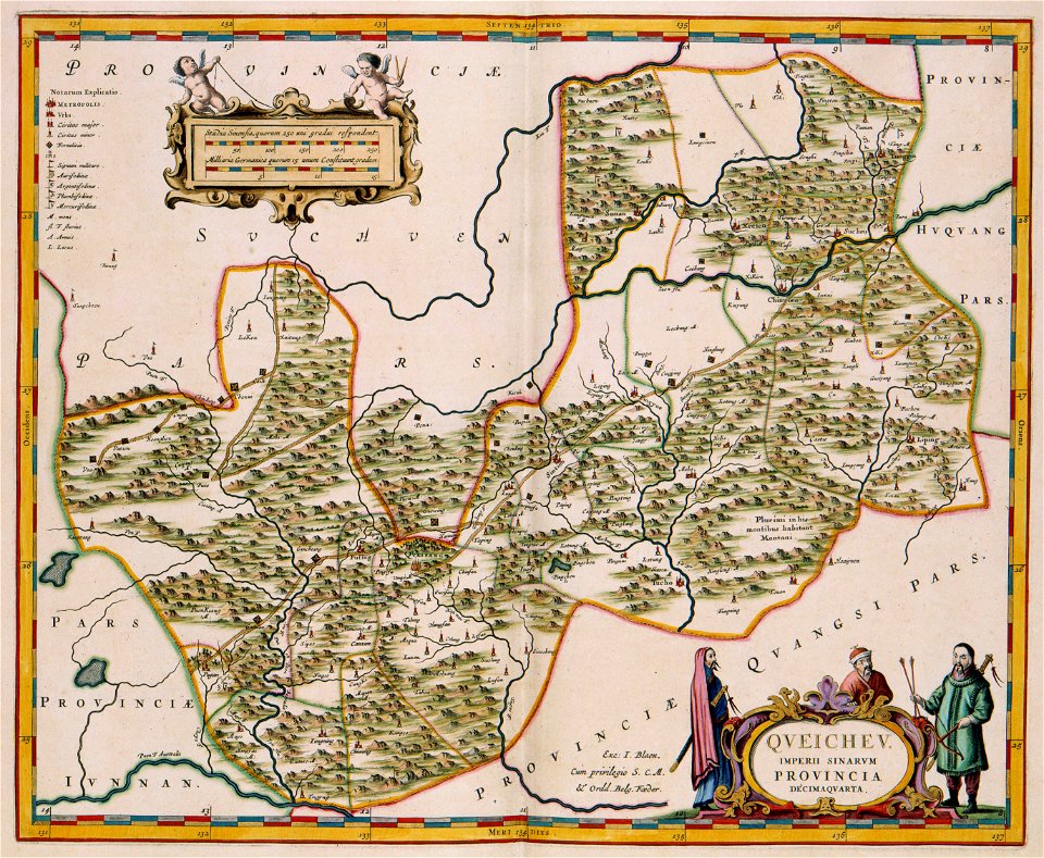
17th-century maps of china
guizhou
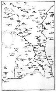
old maps of hesdin
old maps of france
maps in the library of congress
1720 maps
maps in the library of congress
old maps of new england
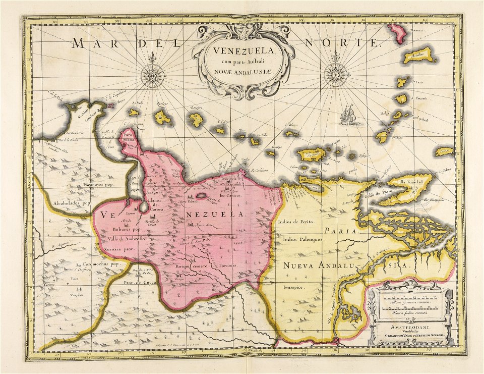
old maps of venezuela
gerard valck
maps made in the 18th century
old maps of saxony
maps made in the 18th century
old maps of flanders
fonds ancely - bibliothèque municipale de toulouse - maps
frédéric-auguste laguillermie
fonds ancely - bibliothèque municipale de toulouse - maps
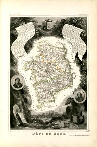
coats of arms of cities in cher
4801 - 4900 of 38,713
Next page
/ 388