Log in
All resources
Create a design
Tools
568 Free Images of 1900 Maps
maps in the library of congress
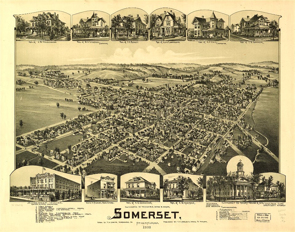
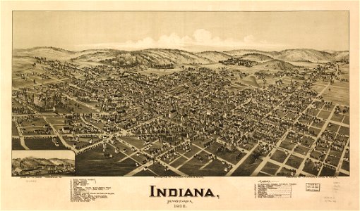
old maps of pennsylvania
cc-zero
pages with maps
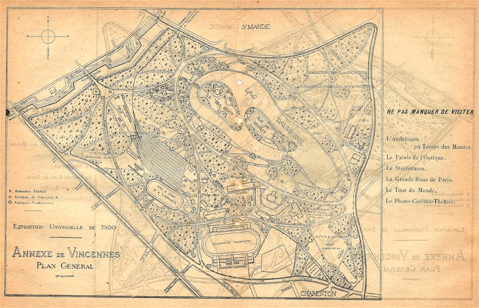
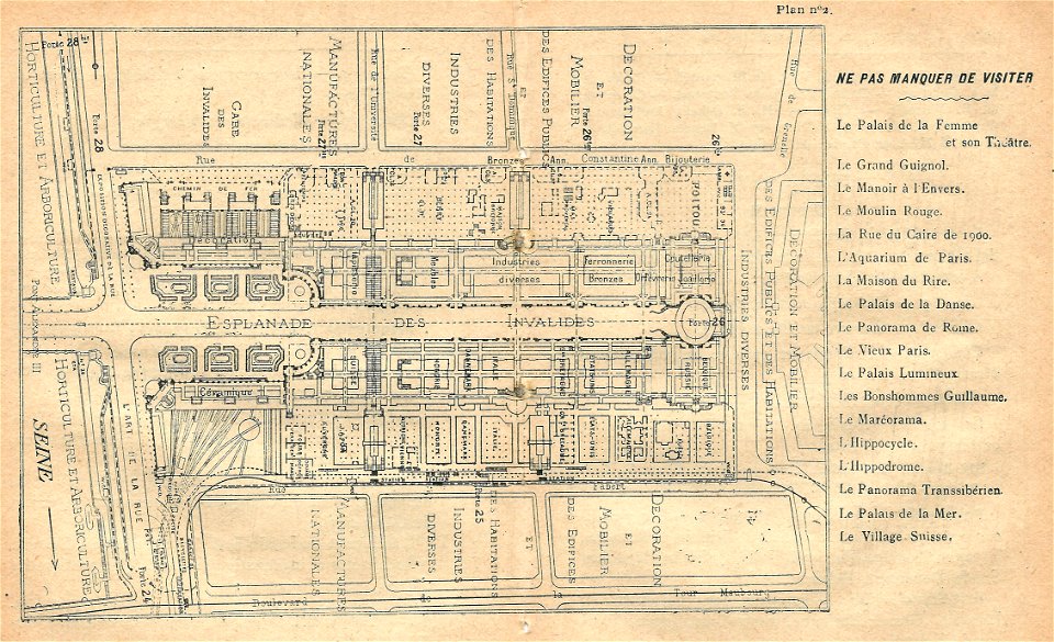
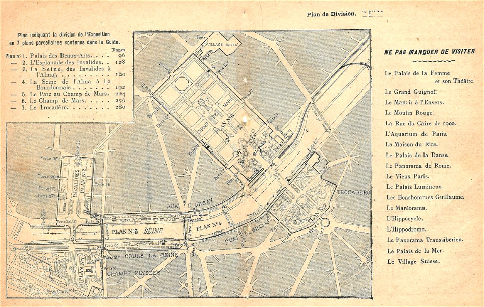
maps of the exposition universelle (1900)
illustrations du catalogue remboursable de l'expo 1900
maps by george h. walker and company
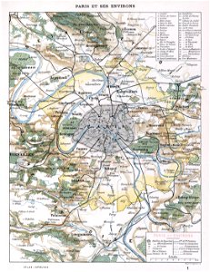
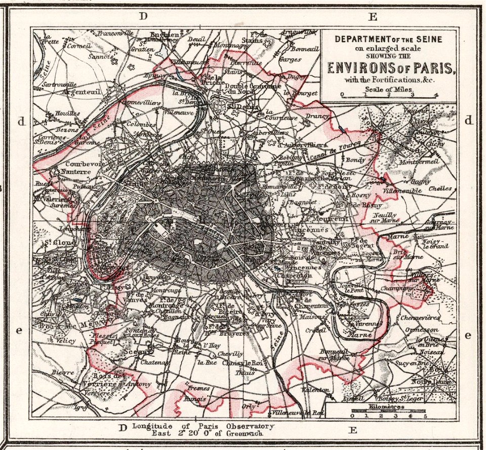
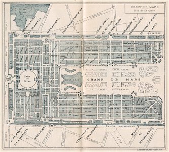
1900s maps of paris
engravings of paris
maps of paris in the 1900s
island of california
image restoration
self-published work
2011 in dordogne
carte de france by guillaume delisle (1721)
philippe buache
1900s maps of paris
1900 in paris
1900s maps of paris
engravings of paris
maps in the library of congress
1900 maps
maps in the library of congress
old maps of pennsylvania
maps in the library of congress
1900 maps
maps in the library of congress
old maps of pennsylvania
maps in the library of congress
old maps of pennsylvania
maps in the library of congress
old maps of pennsylvania
maps in the library of congress
1900 maps
maps in the library of congress
old maps of pennsylvania
maps in the library of congress
1900 maps
maps in the library of congress
old maps of pennsylvania
maps in the library of congress
old maps of pennsylvania
maps in the library of congress
old maps of pennsylvania
maps in the library of congress
old maps of pennsylvania
maps in the library of congress
old maps of pennsylvania
maps in the library of congress
old maps of pennsylvania
maps in the library of congress
old maps of pennsylvania
maps in the library of congress
old maps of pennsylvania
maps in the library of congress
old maps of pennsylvania
maps in the library of congress
old maps of pennsylvania
maps in the library of congress
old maps of pennsylvania
maps in the library of congress
old maps of pennsylvania
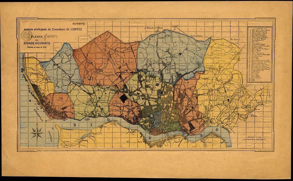
porto in the 1900s
1903 maps
maps in the library of congress
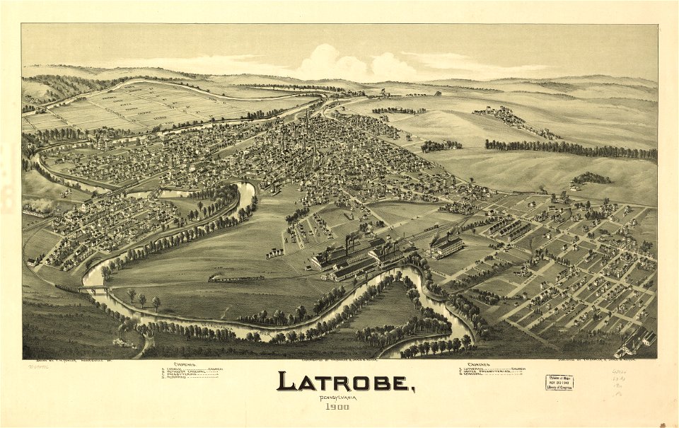
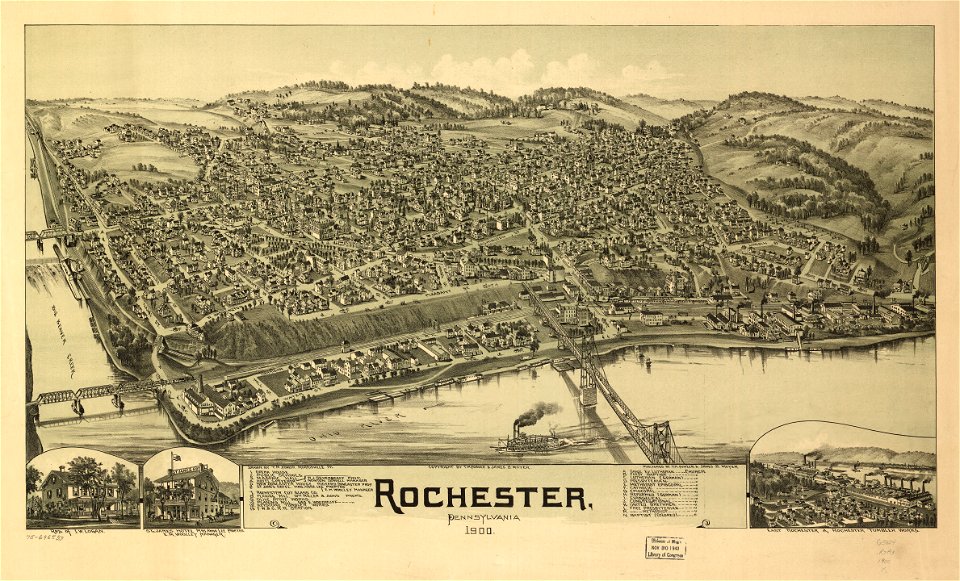
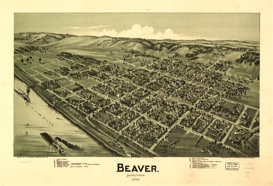
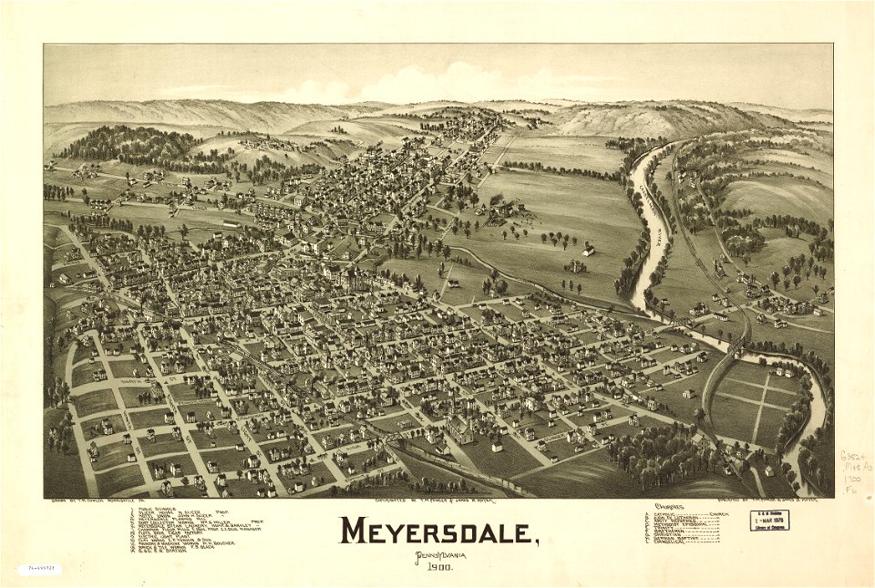
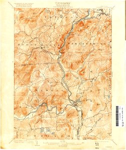
pennsylvania
maps in the library of congress
pennsylvania
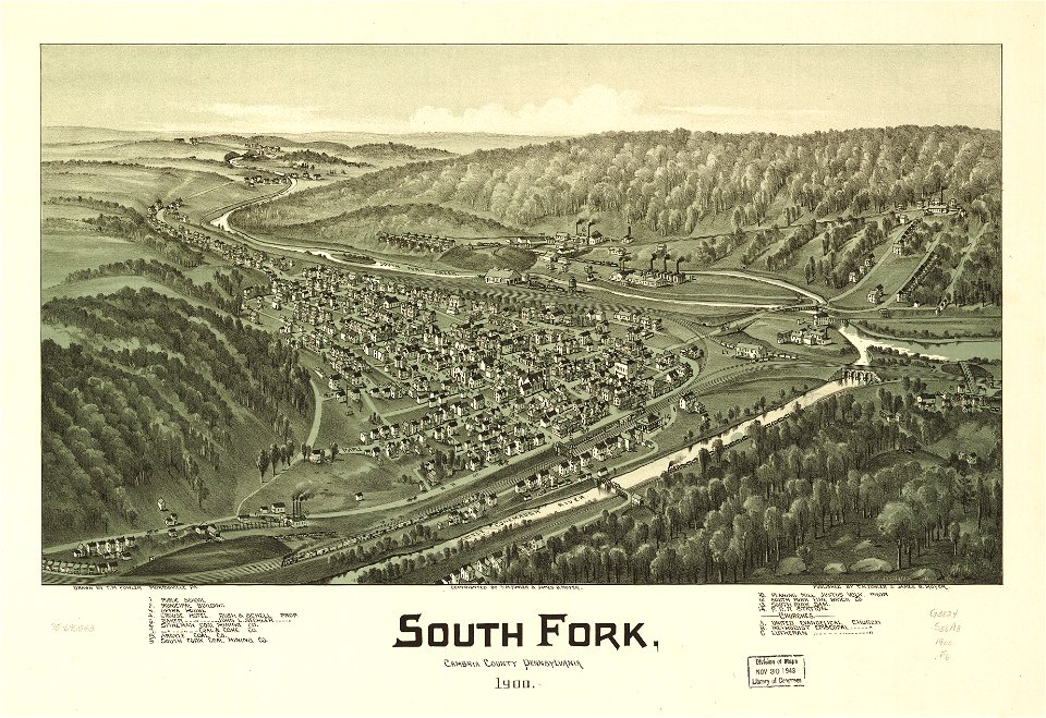
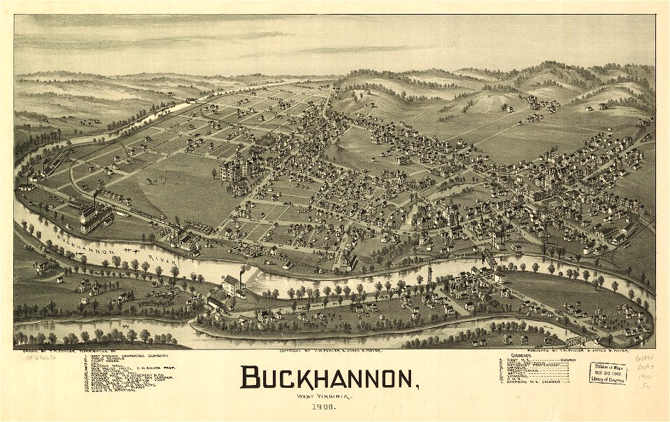
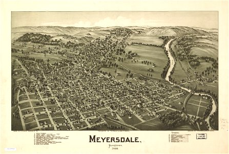
west virginia
buckhannon
west virginia
buckhannon
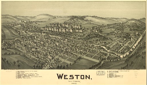
west virginia
weston
west virginia
weston
1900s maps of paris
1906 in paris
illustrations du catalogue remboursable de l'expo 1900
maps of the exposition universelle (1900)
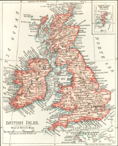
maps of the united kingdom of great britain and ireland
ireland in the 1900s
maps in the library of congress
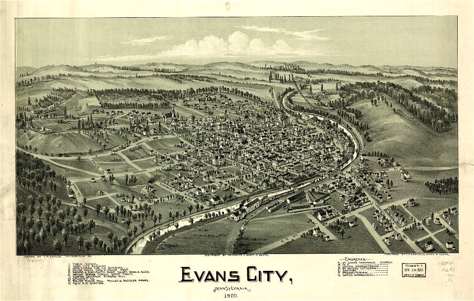
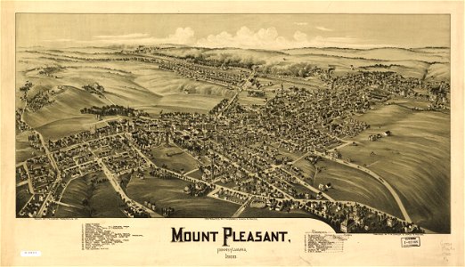
old maps of pennsylvania
maps in the library of congress
old maps of pennsylvania
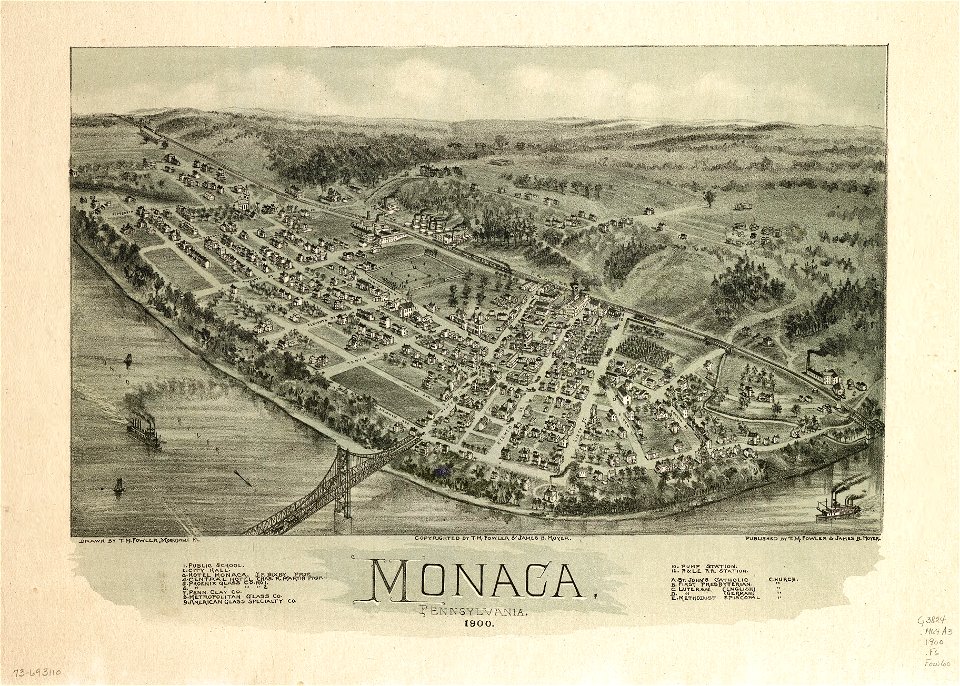
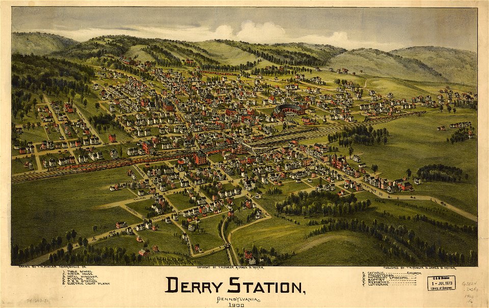
maps in the library of congress
pennsylvania
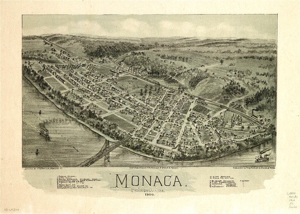
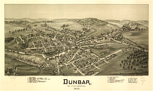
maps in the library of congress
pennsylvania
maps in the library of congress
old maps of china
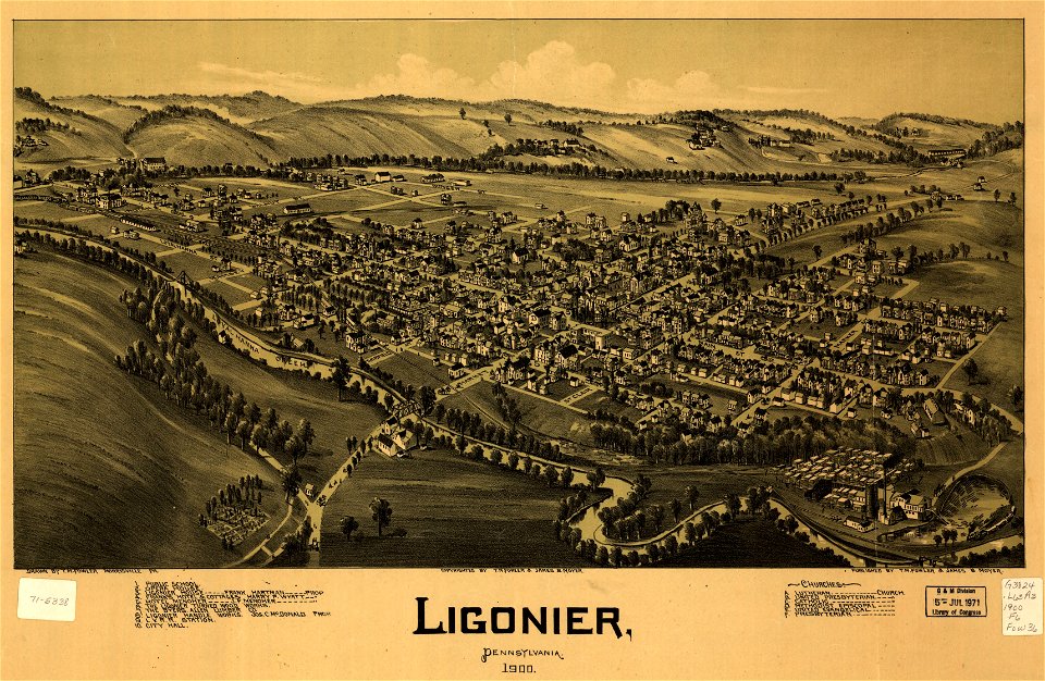
maps in the library of congress
old maps of pennsylvania
maps in the library of congress
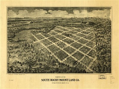
a. hoen & co.
maps in the library of congress
old maps of pennsylvania
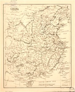
maps in the library of congress
old maps of china
maps in the library of congress
a. hoen & co.
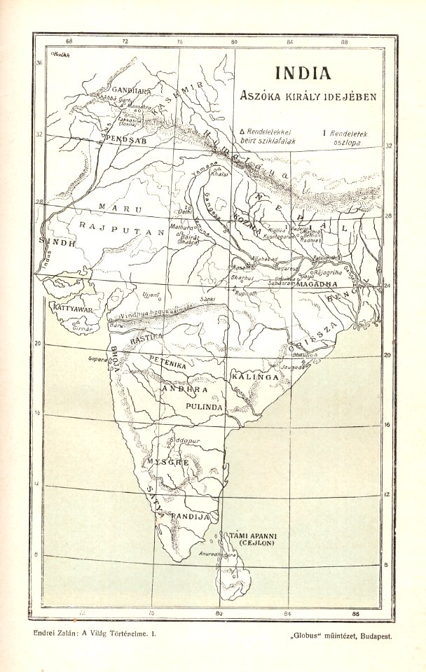
old maps of south asia
1900s maps of india
maps by george h. walker and company
maps in the library of congress
maps by george h. walker and company
maps in the library of congress
illustrations du catalogue remboursable de l'expo 1900
maps of the exposition universelle (1900)
illustrations du catalogue remboursable de l'expo 1900
maps of the exposition universelle (1900)
illustrations du catalogue remboursable de l'expo 1900
maps of the exposition universelle (1900)
illustrations du catalogue remboursable de l'expo 1900
maps of the exposition universelle (1900)
illustrations du catalogue remboursable de l'expo 1900
maps of the exposition universelle (1900)
illustrations du catalogue remboursable de l'expo 1900
maps of the exposition universelle (1900)
maps by george h. walker and company
maps in the library of congress
maps by george h. walker and company
maps in the library of congress
maps by george h. walker and company
maps in the library of congress
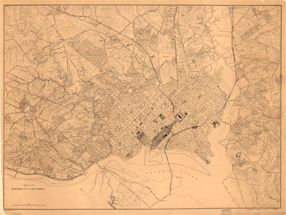
united states geological survey maps
old maps of new york (state)
maps in the library of congress
1900 maps
maps in the library of congress
1900 maps
maps
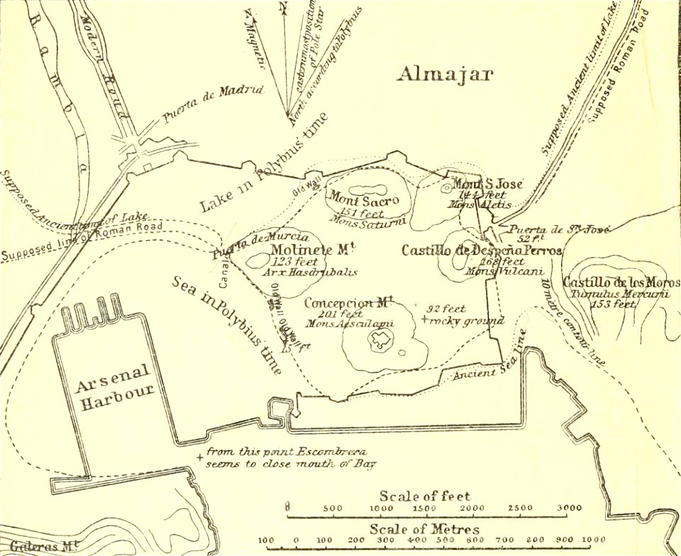
sea
1902 maps
spain
globe
maps
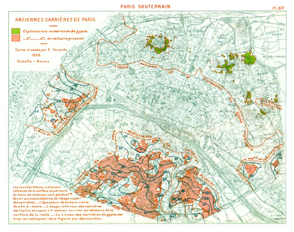
catacombs of paris
1908 in paris
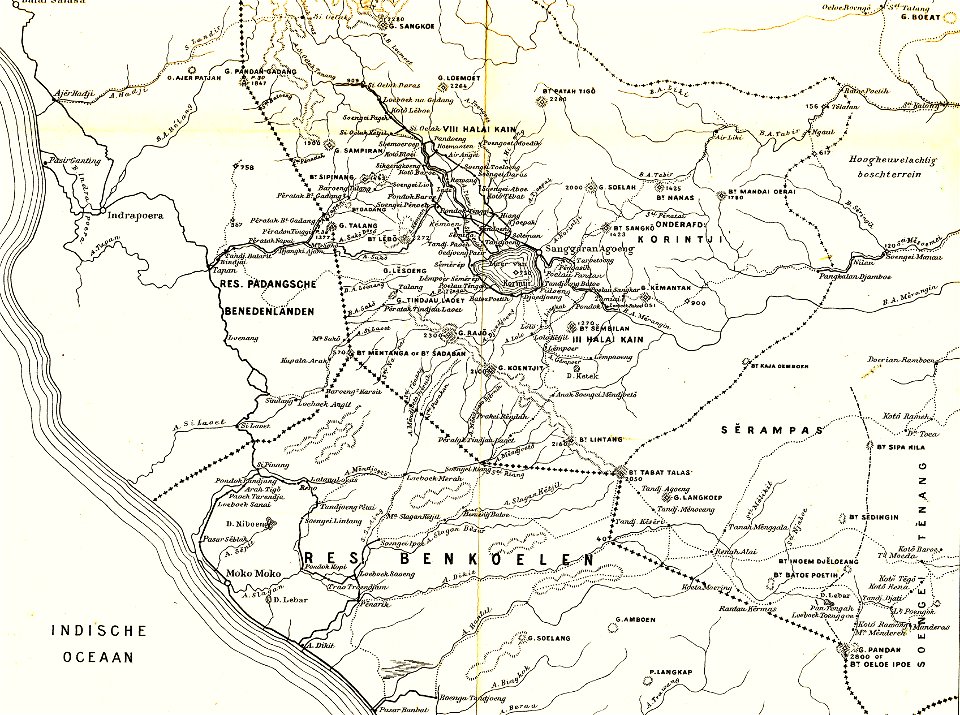
sumatra in the 1900s
old maps of sumatra
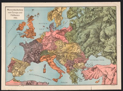
20th-century satirical maps
1914 maps of europe
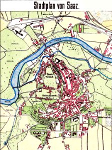
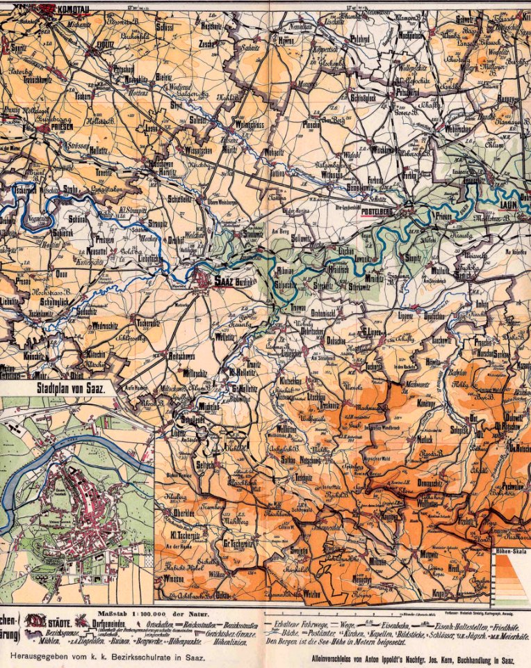
history of žatec
maps of žatec
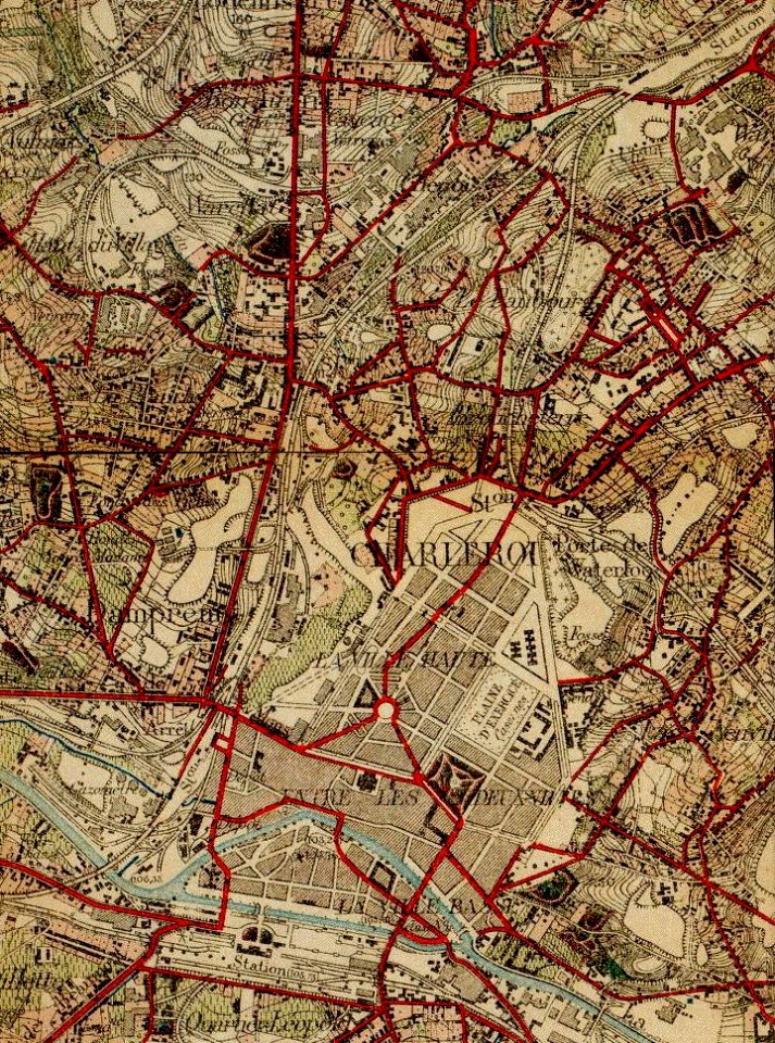
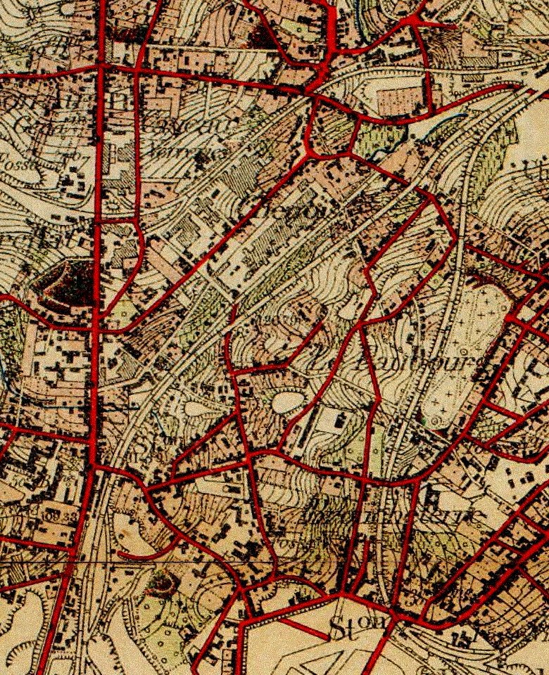
old maps of charleroi
old maps of charleroi
broucheterre
endrei zalán: a világ történelme
1900s maps of india
history of žatec
maps of žatec
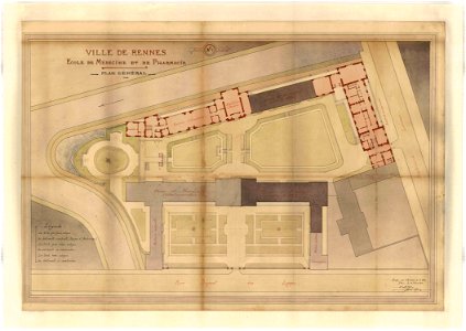
rennes in the 1900s
old maps of rennes
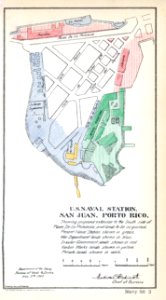
san juan
card
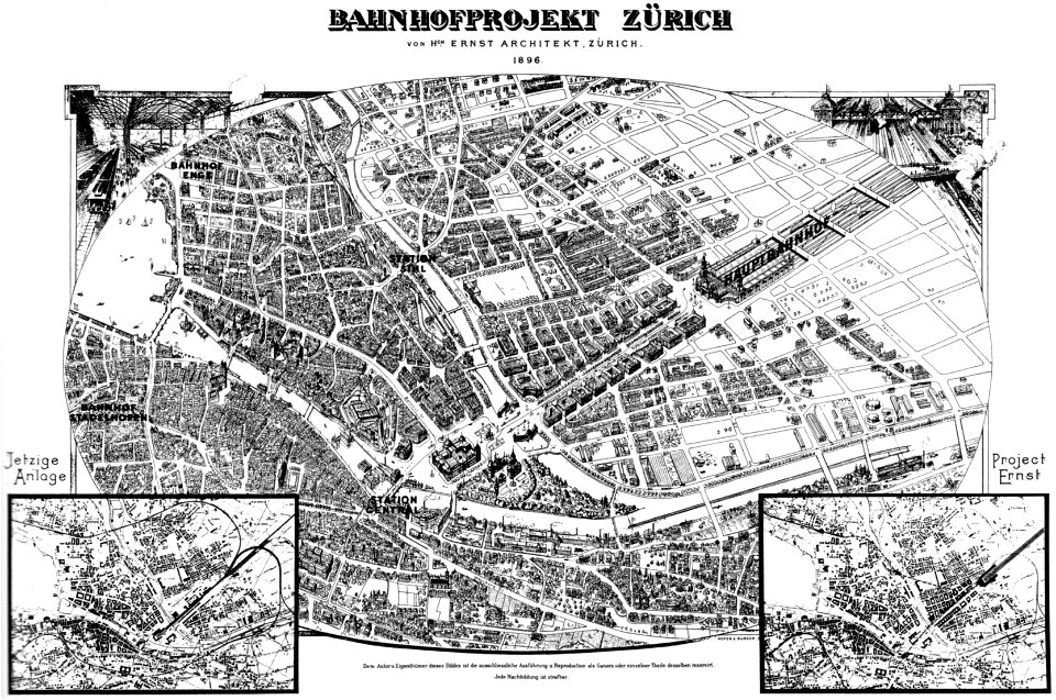
history of rail transport in switzerland
aussersihl
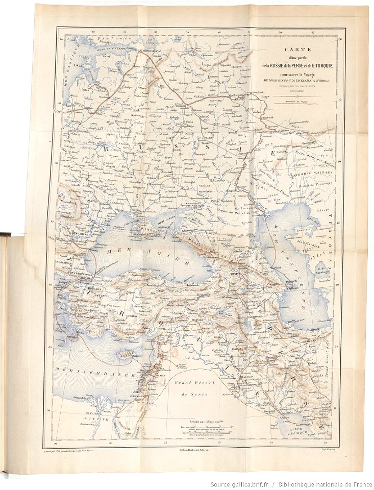
tinco martinus lycklama à nijeholt (1837-1900)
unidentified maps
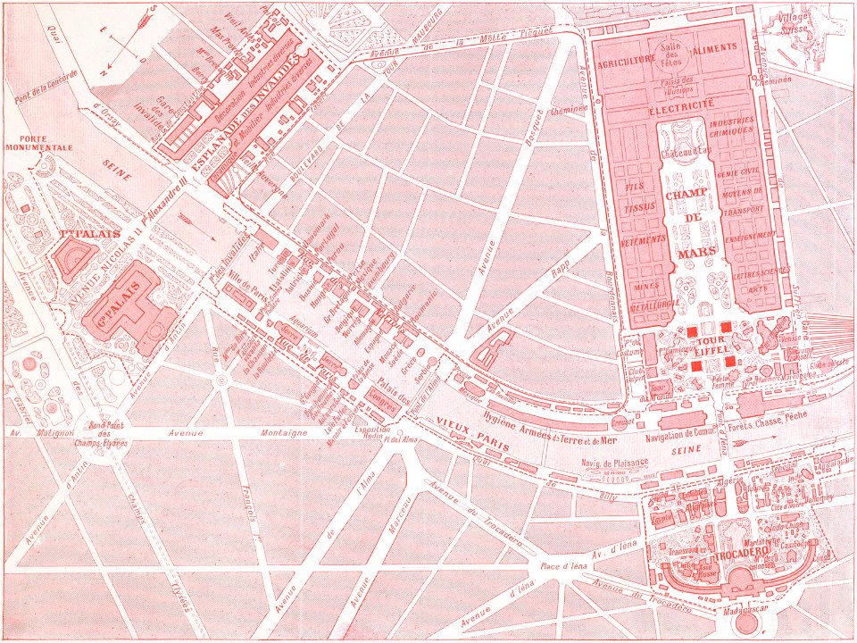
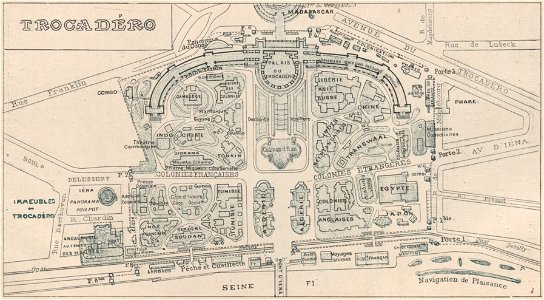
palais du trocadéro
engravings of paris
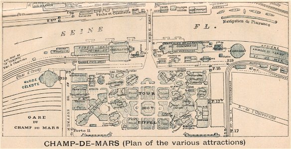
exposition universelle (1900) champ-de-mars
engravings of paris
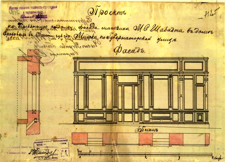
historical images of minsk
minsk
self-published work
blue
historical images of minsk
minsk
images in ottův slovník naučný (volume 19)
maps in ottův slovník naučný
floor plans of paris
engravings of paris
self-published work
pages with maps
self-published work
sidewalk
self-published work
architecture
exposition universelle (1900) champ-de-mars
engravings of paris
laurel wreaths in art
self-published work
self-published work
pages with maps
pages with maps
cc-zero
self-published work
pages with maps
self-published work
pages with maps
self-published work
pages with maps
self-published work
pages with maps
self-published work
pages with maps
self-published work
vehicle
self-published work
town
self-published work
town
self-published work
architecture
architecture
town
1 - 100 of 568
Next page
/ 6