Log in
All resources
Create a design
Tools
1,000 Free Images of Atlantis
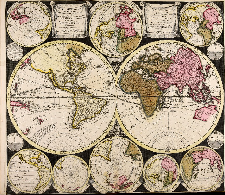
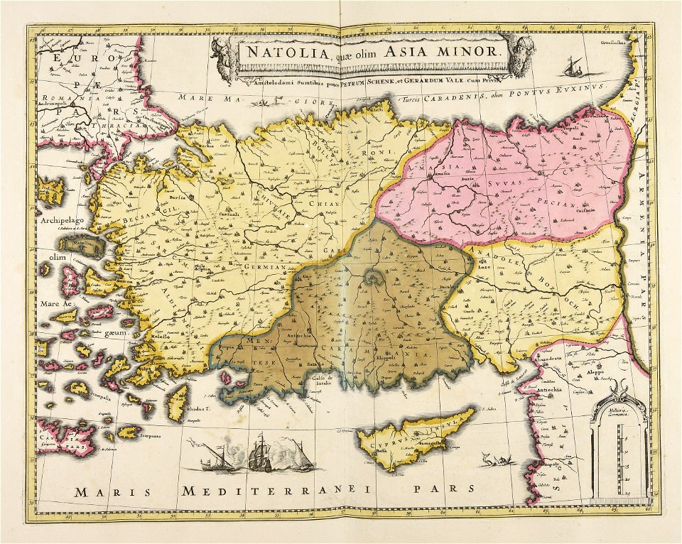
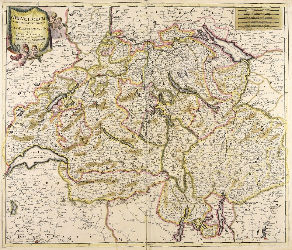
maps made in the 17th century
maps by pieter schenk (i)
gerard valck
atlantis magni tomus quartus (biblioteca comunale di trento)
atlantis magni tomus tertius (biblioteca comunale di trento)
atlantis magni tomus secundus (biblioteca comunale di trento)
atlantis magni tomus quintus (biblioteca comunale di trento)
maps made in the 18th century
johann baptist homann
atlantis magni tomus primus (biblioteca comunale di trento)
maps made in the 17th century
maps by pieter schenk (i)
maps made in the 17th century
gerard valck
atlantis magni tomus primus (biblioteca comunale di trento)
maps made in the 17th century
atlantis magni tomus quartus (biblioteca comunale di trento)
maps made in the 17th century
maps made in the 17th century
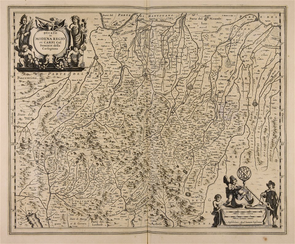
old maps of italy
maps made in the 17th century
gerard valck
johann baptist homann
earth
maps made in the 17th century
jan janssonius
maps made in the 18th century
johann baptist homann
maps made in the 17th century
gerard valck
maps made in the 17th century
gerard valck
maps made in the 17th century
gerard valck
maps made in the 17th century
gerard valck
18th-century engravings
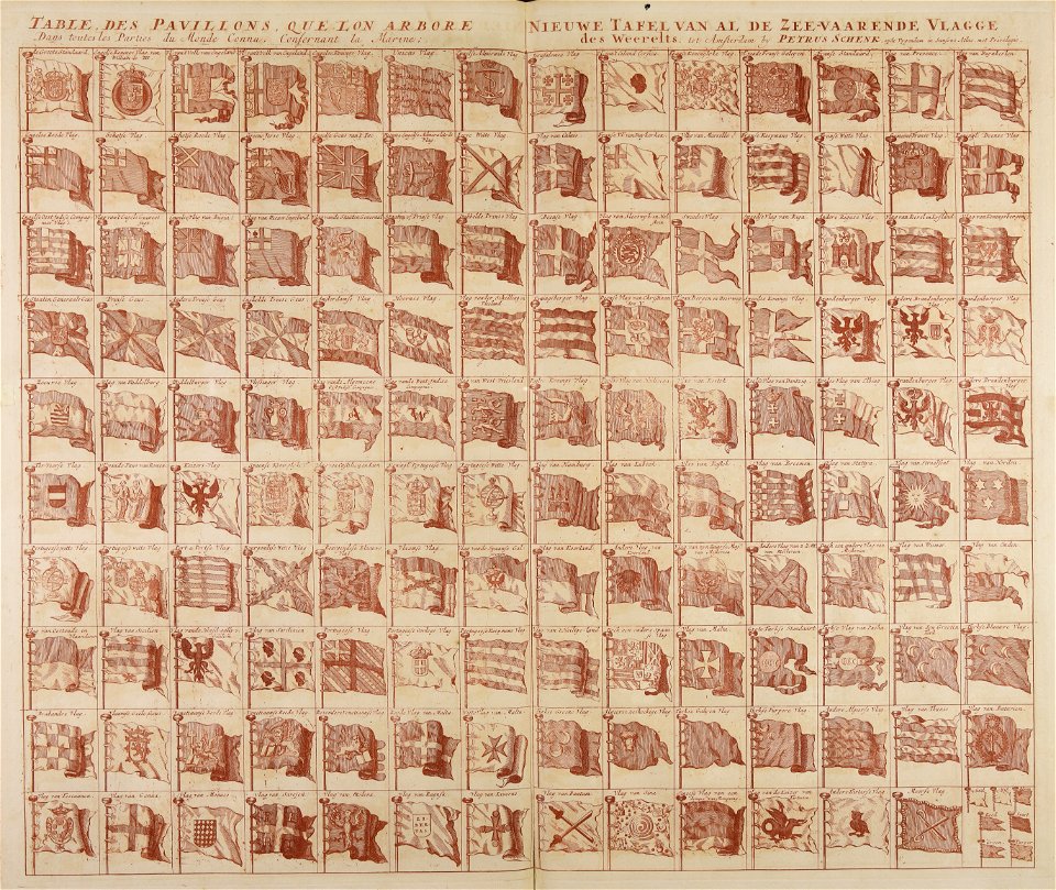
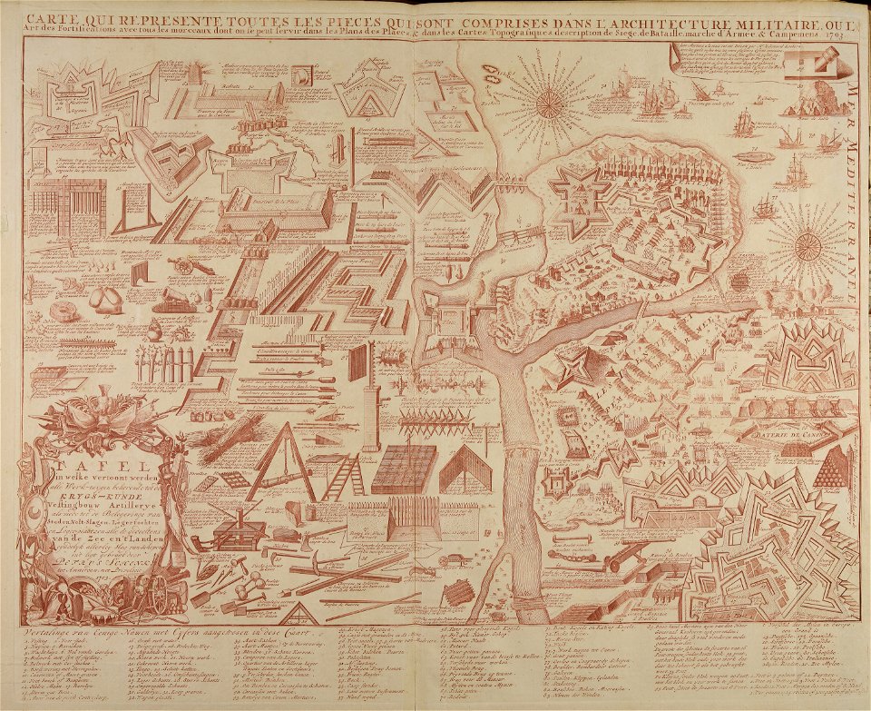
flag charts
maps made in the 17th century
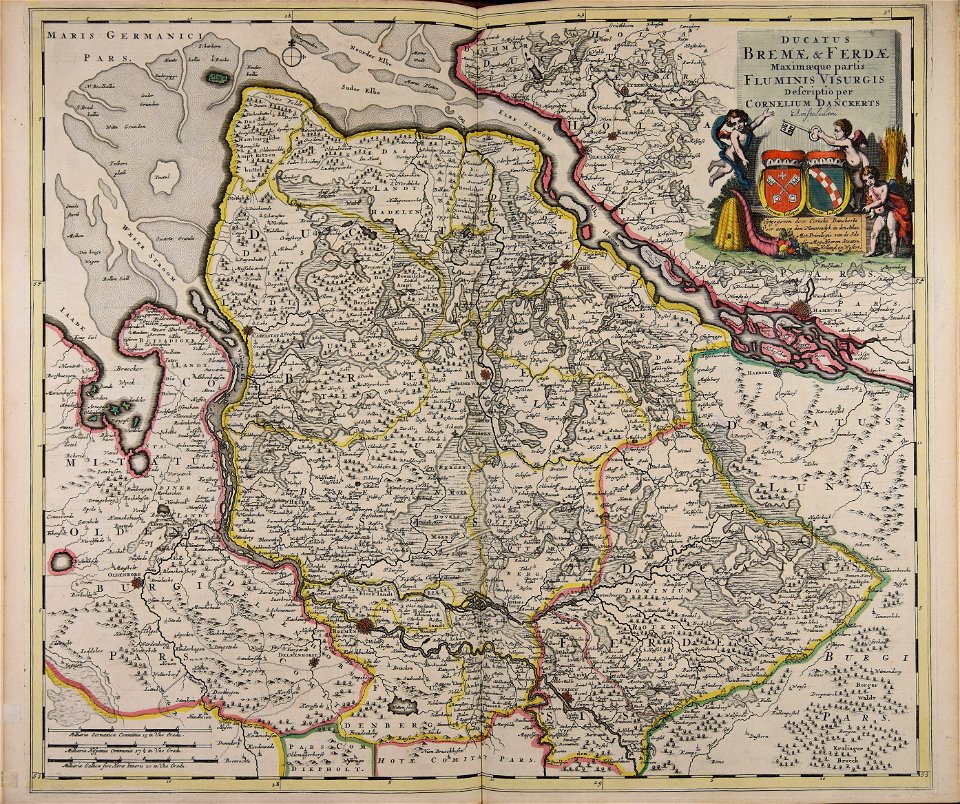
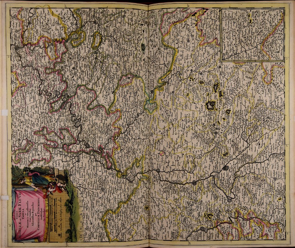
cornelis danckerts (i)
atlantis magni tomus quartus (biblioteca comunale di trento)
maps made in the 17th century
maps made in the 17th century
gerard valck
maps made in the 17th century
gerard valck
maps made in the 17th century
gerard valck
maps made in the 17th century
gerard valck
maps made in the 17th century
gerard valck
atlantis magni tomus primus (biblioteca comunale di trento)
18th-century engravings
gerard valck
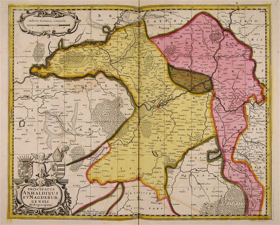
germany
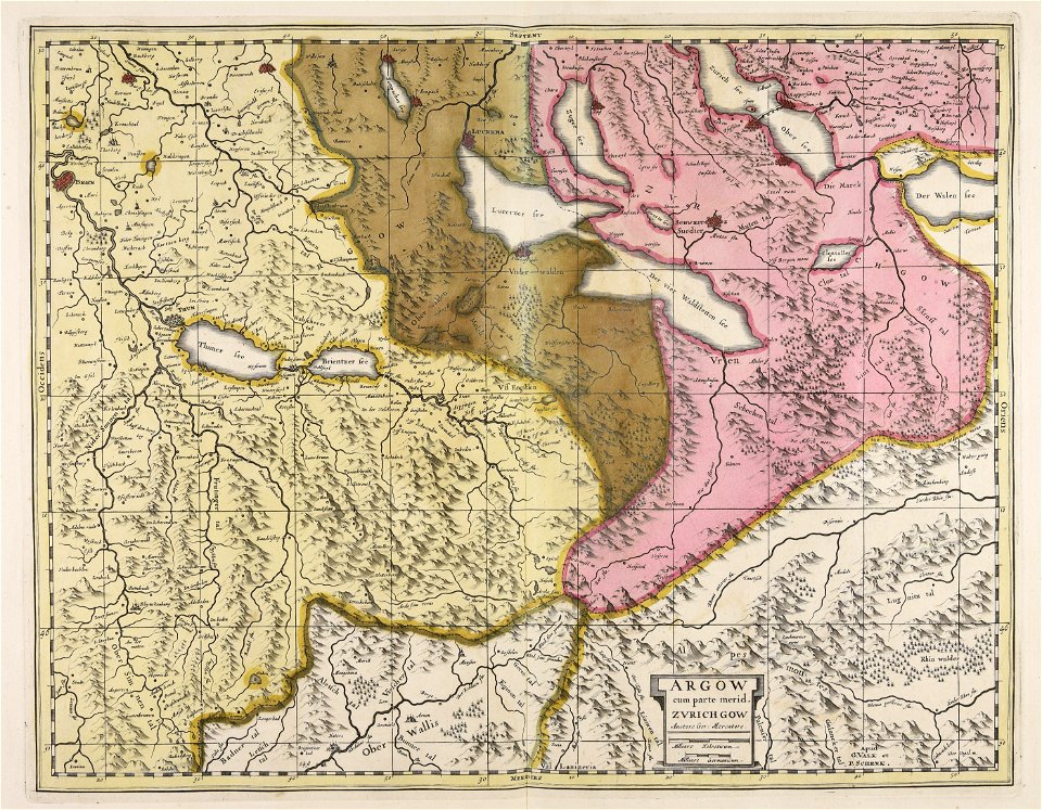
maps made in the 17th century
gerard valck
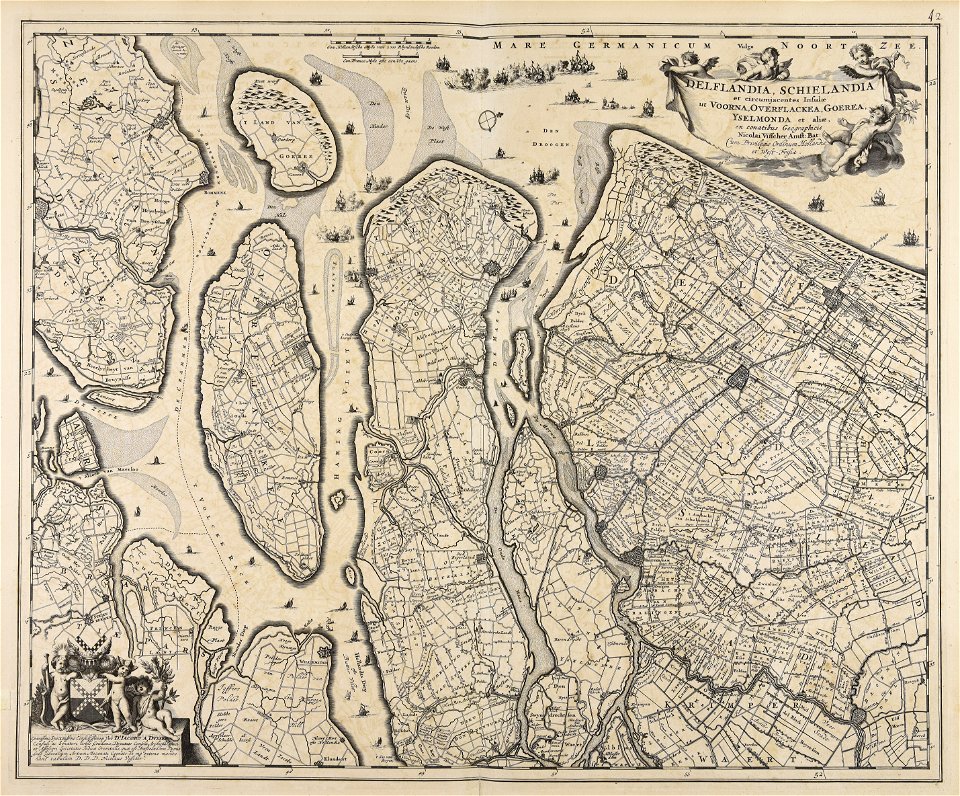
maps made in the 17th century
nicolaes visscher ii
maps made in the 17th century
adam olearius
maps by pieter schenk (i)
gerard valck
atlantis magni tomus primus (biblioteca comunale di trento)
maps made in the 17th century
maps by pieter schenk (i)
gerard valck
maps by pieter schenk (i)
gerard valck
maps made in the 18th century
johann baptist homann
gerard valck
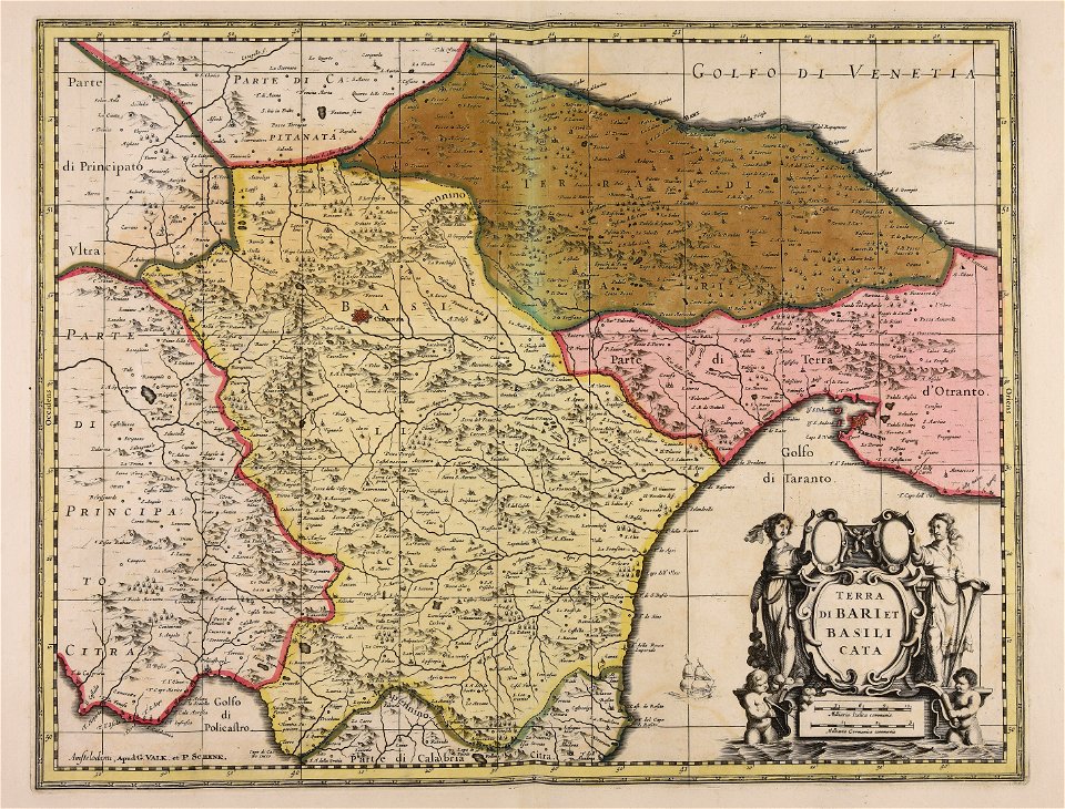
basilicata
atlantis magni tomus secundus (biblioteca comunale di trento)
maps made in the 17th century
maps made in the 17th century
jan janssonius
atlantis magni tomus quintus (biblioteca comunale di trento)
topographic maps made in 18th century
maps made in the 17th century
gerard valck
atlantis magni tomus tertius (biblioteca comunale di trento)
maps made in the 17th century
maps made in the 17th century
cornelis danckerts (i)
atlantis magni tomus quintus (biblioteca comunale di trento)
topographic maps made in 18th century
johann baptist homann
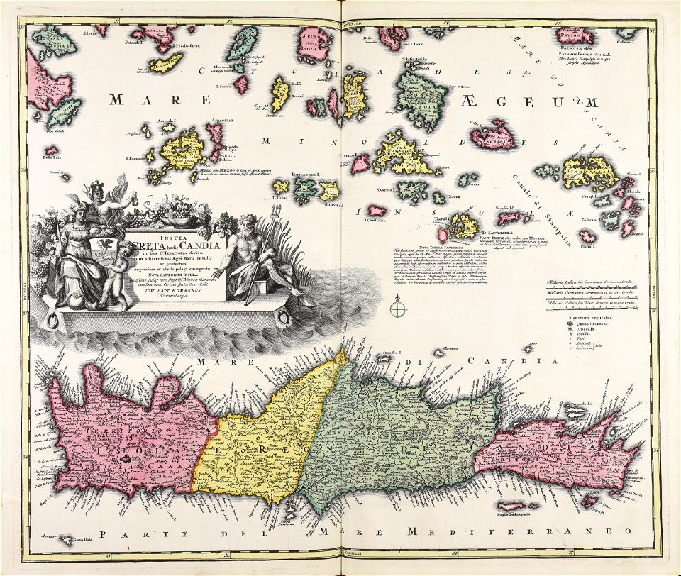
creta
maps made in the 18th century
gerard valck
maps made in the 17th century
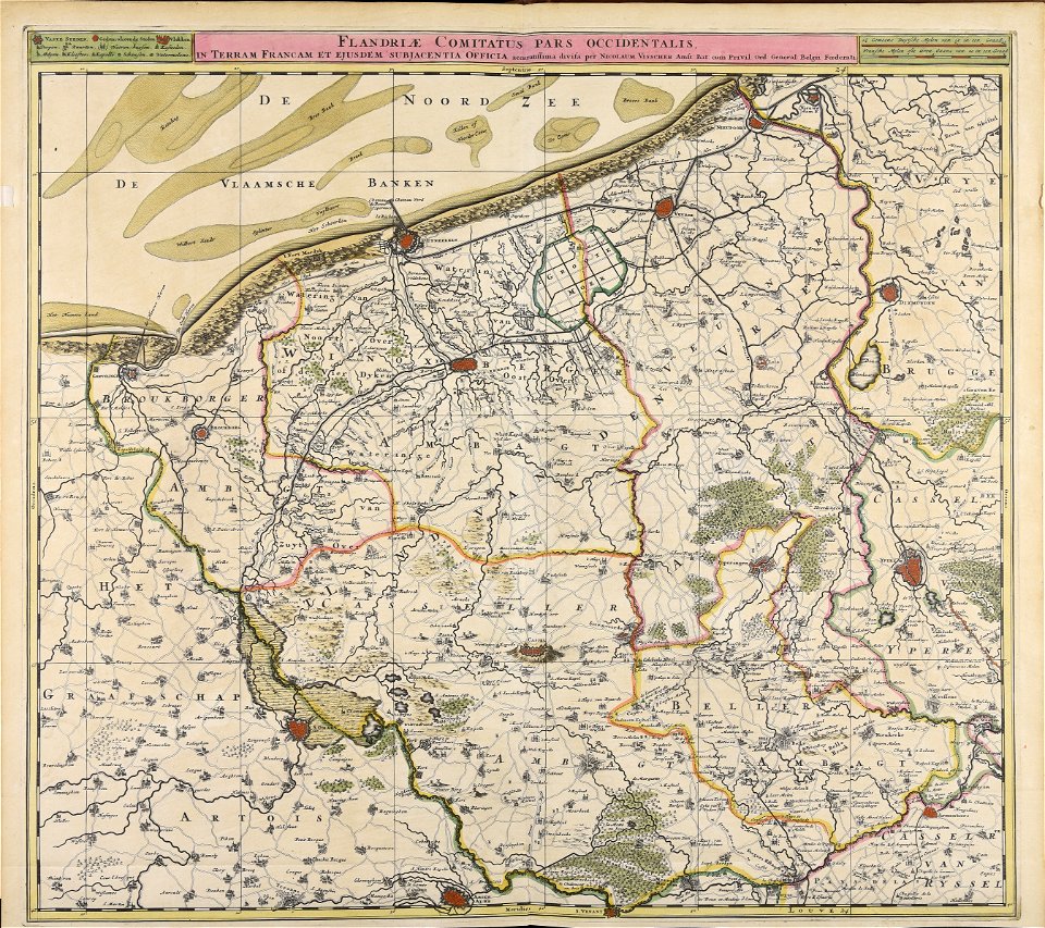
belgio
maps made in the 17th century
jan janssonius
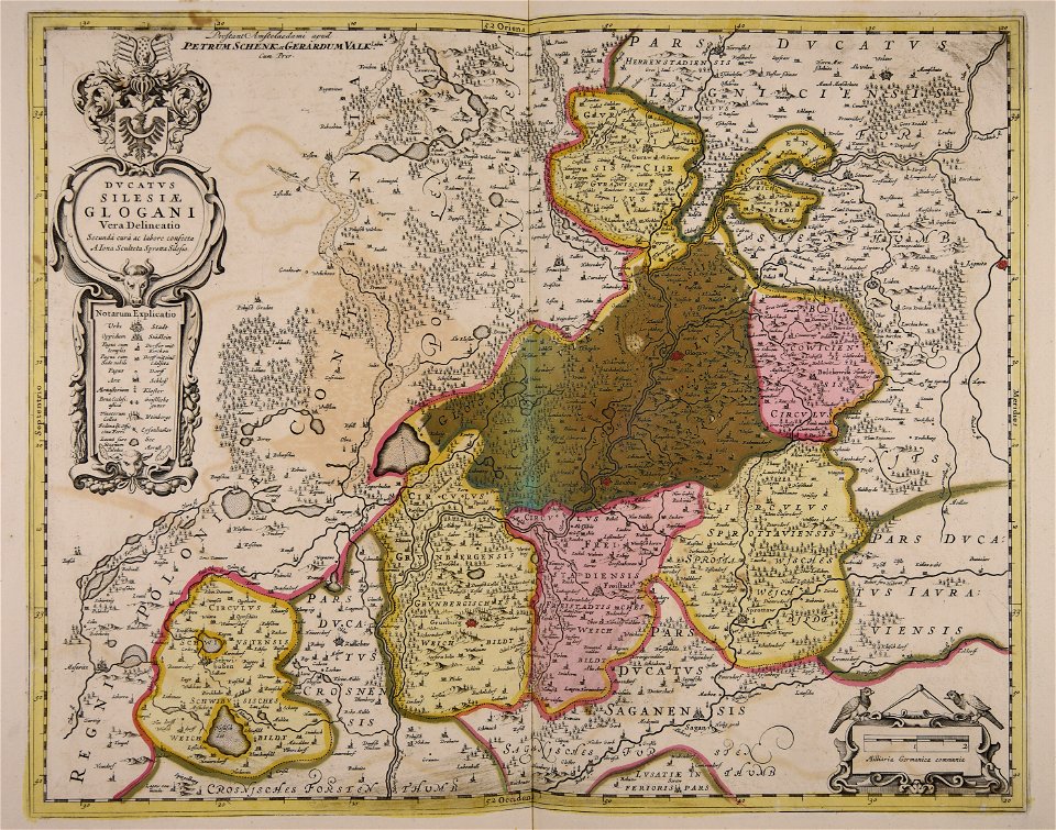
old maps of silesia
gerard valck
maps made in the 17th century
cornelis danckerts (ii)
maps made in the 17th century
nicolaes visscher ii
maps made in the 17th century
cornelis danckerts (ii)
maps made in the 17th century
cornelis danckerts (i)
maps made in the 17th century
gerard valck
astronaut
vehicle
maps made in the 17th century
nicolaes visscher ii
maps made in the 17th century
gerard valck
maps made in the 17th century
jan janssonius
atlantis magni tomus primus (biblioteca comunale di trento)
maps by pieter schenk (i)
maps made in the 17th century
gerard valck
maps made in the 17th century
gerard valck
gerard valck
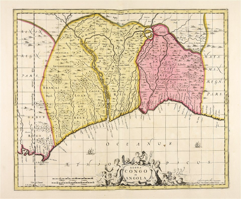
angola
maps made in the 17th century
gerard valck
maps made in the 18th century
gerard valck
atlantis magni tomus primus (biblioteca comunale di trento)
18th-century engravings
maps made in the 17th century
gerard valck
atlantis magni tomus secundus (biblioteca comunale di trento)
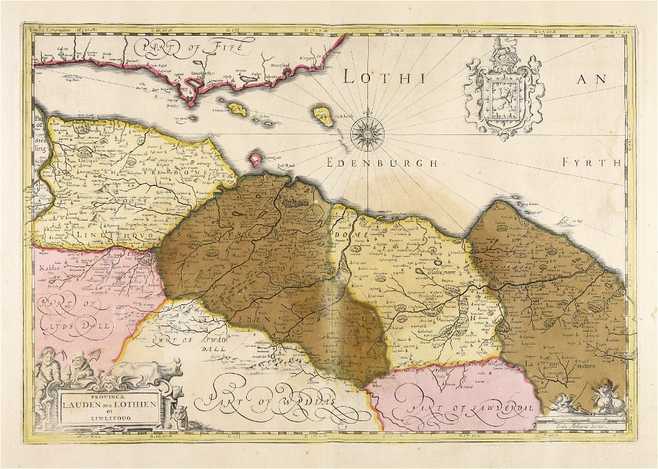
old maps of lothian
maps made in the 17th century
gerard valck
maps made in the 17th century
nicolaes visscher ii
maps made in the 17th century
maps by johannes janssonius
maps made in the 17th century
gerard valck
maps made in the 17th century
old maps of gelderland
maps made in the 17th century
gerard valck
maps made in the 17th century
jan janssonius
topographic maps made in 18th century
jeremias wolff
maps made in the 17th century
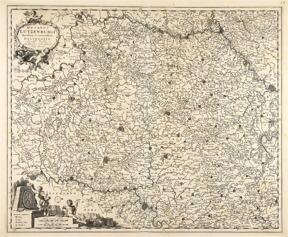
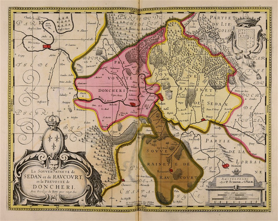
principality of sedan
atlantis magni tomus primus (biblioteca comunale di trento)
18th-century engravings
maps made in the 18th century
johann baptist homann
old maps of salzburg (state)
johann baptist homann
maps made in the 17th century
gerard valck
maps made in the 17th century
gerard valck
gerard valck
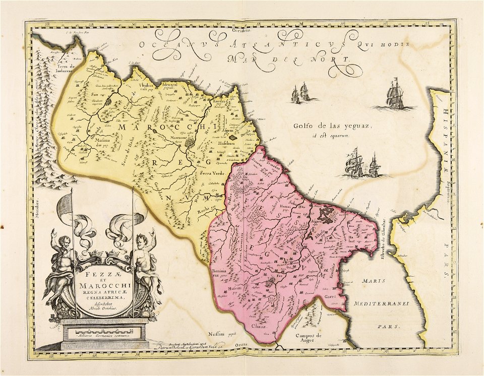
marocco
maps made in the 17th century
nicolaes visscher ii
maps made in the 17th century
gerard valck
atlantis magni tomus secundus (biblioteca comunale di trento)
maps made in the 17th century
maps made in the 17th century
jan janssonius
maps made in the 17th century
gerard valck
maps made in the 18th century
johann baptist homann
gerard valck
indonesia
maps made in the 18th century
maps by pieter schenk (i)
atlantis magni tomus quintus (biblioteca comunale di trento)
maps made in the 18th century
atlantis magni tomus quintus (biblioteca comunale di trento)
maps made in the 18th century
maps made in the 18th century
johann baptist homann
maps made in the 17th century
gerard valck
johann baptist homann
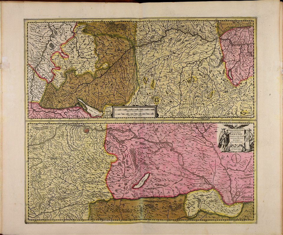
ungheria
johann baptist homann
veduta
maps made in the 17th century
gerard valck
maps made in the 17th century
jan janssonius
maps made in the 18th century
johann baptist homann
gerard valck
campania
maps made in the 17th century
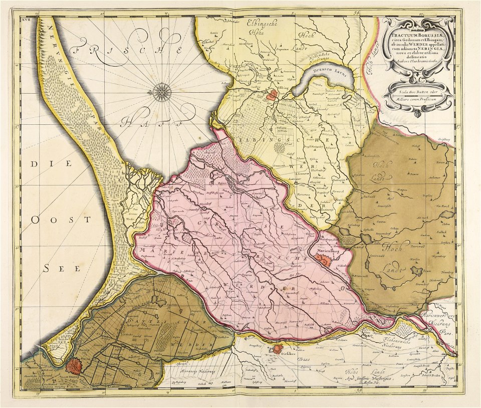
olof örnehufvud
maps made in the 17th century
gerard valck
maps made in the 17th century
gerard valck
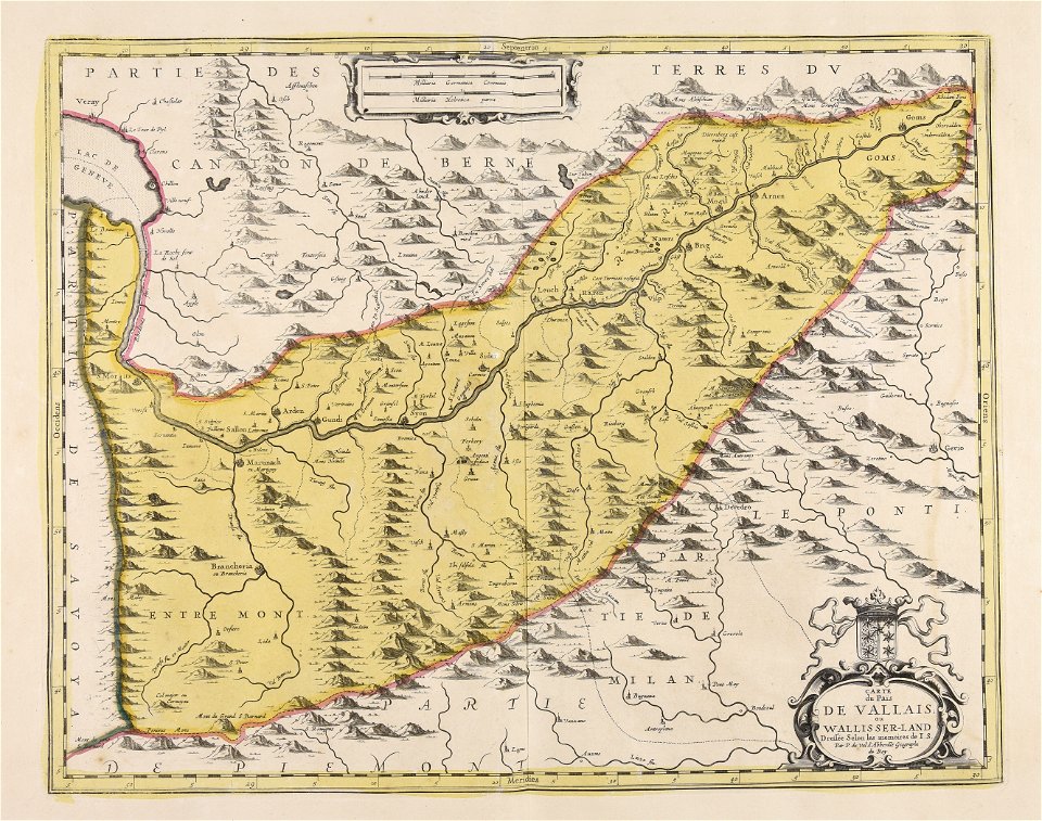
maps made in the 17th century
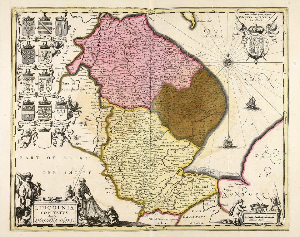
frederick de wit
atlantis magni tomus tertius (biblioteca comunale di trento)
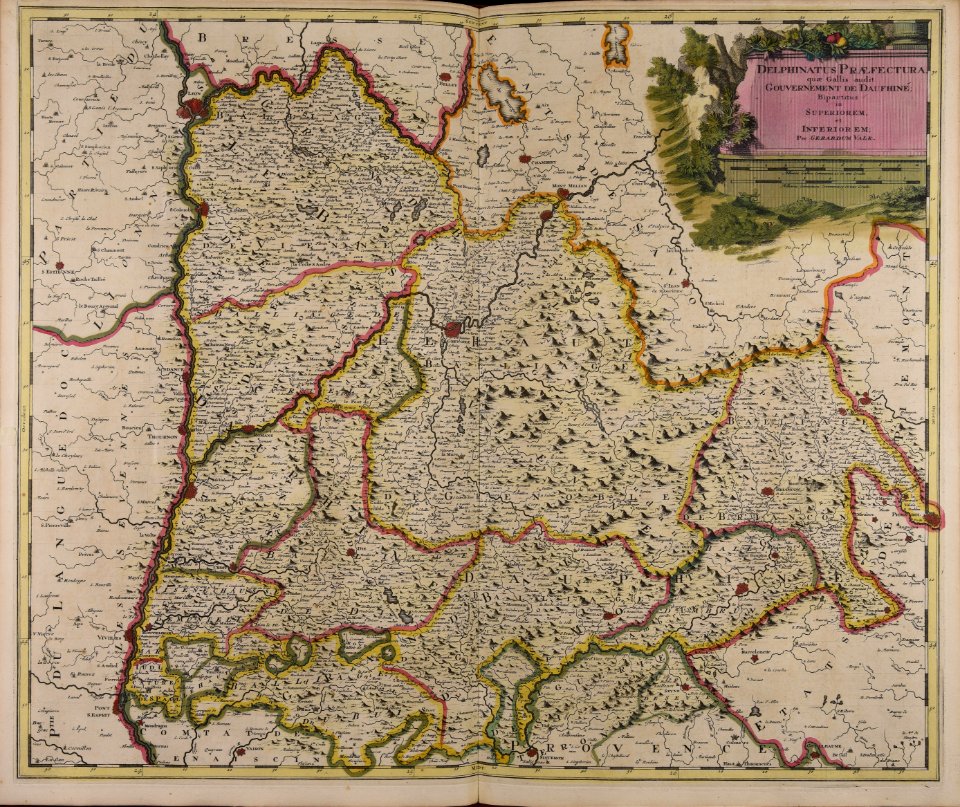
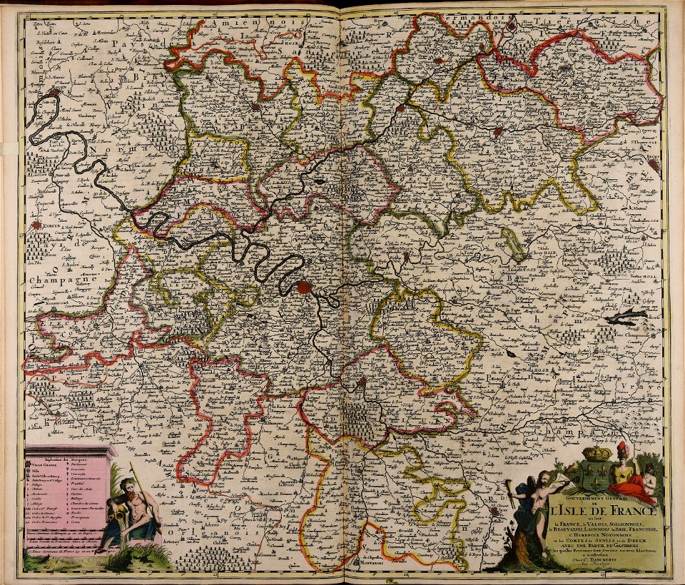
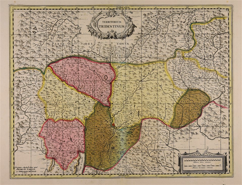
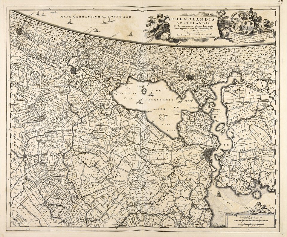
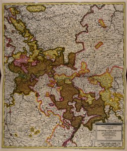
maps of territories in the electoral rhenish circle
501 - 600 of 1,000
Next page
/ 10