Log in
All resources
Create a design
Tools
1,000 Free Images of Atlantis
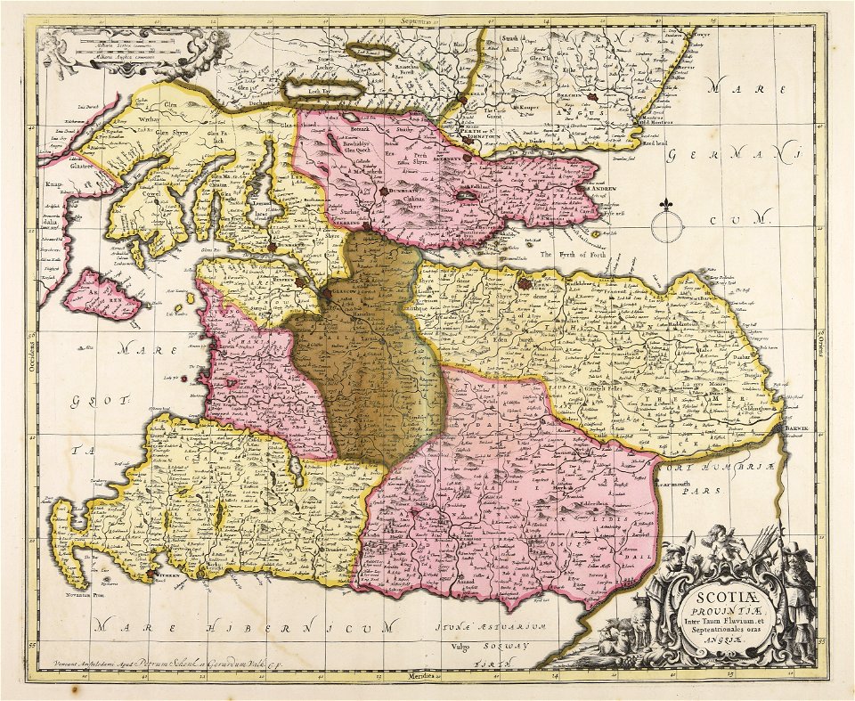
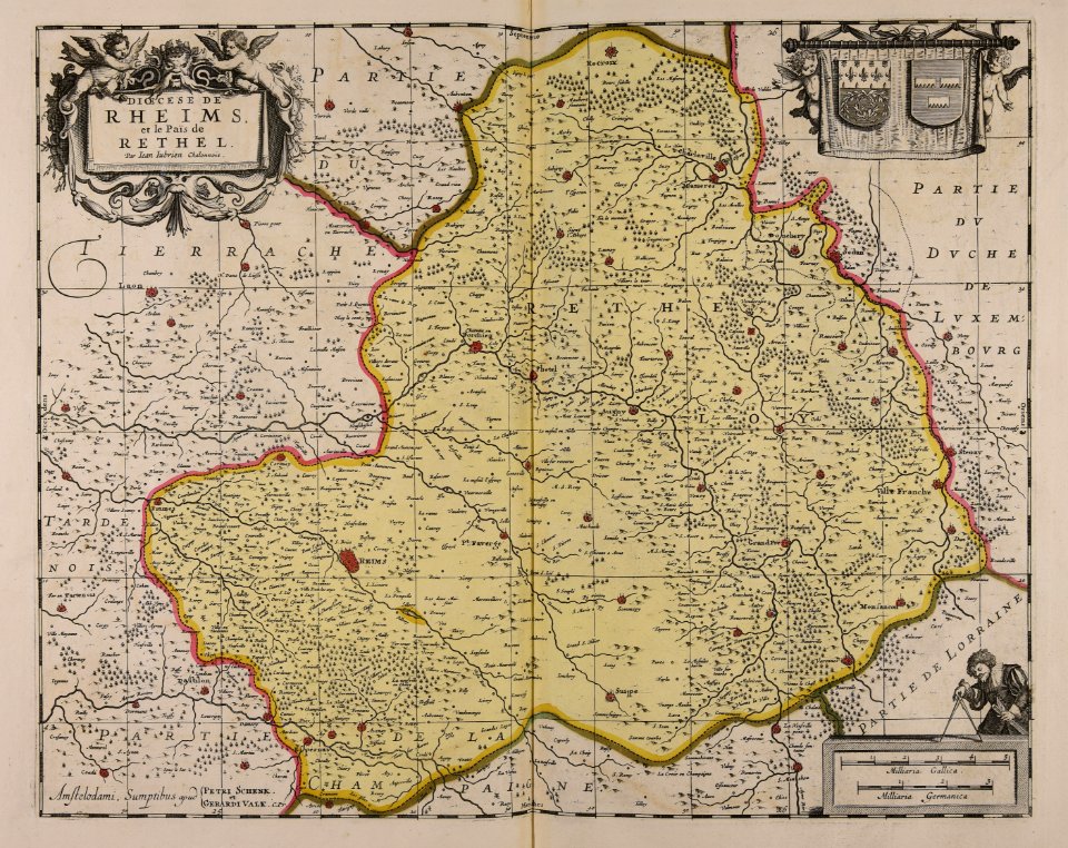
maps made in the 17th century
maps by pieter schenk (i)
maps made in the 18th century
gerard valck
atlantis magni tomus quintus (biblioteca comunale di trento)
atlantis magni tomus secundus (biblioteca comunale di trento)
atlantis magni tomus tertius (biblioteca comunale di trento)
johann baptist homann
atlantis magni tomus quartus (biblioteca comunale di trento)
atlantis magni tomus primus (biblioteca comunale di trento)
maps made in the 17th century
jan janssonius
maps made in the 17th century
gerard valck
maps made in the 18th century
johann baptist homann
maps made in the 17th century
gerard valck
18th-century engravings
gerard valck
maps by nicolaes visscher i
old maps of greece
maps made in the 17th century
gerard valck
maps made in the 17th century
gerard valck
maps made in the 17th century
nicolaes visscher ii
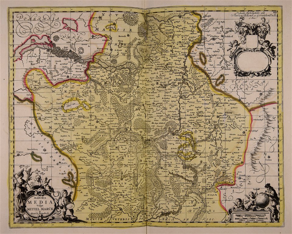
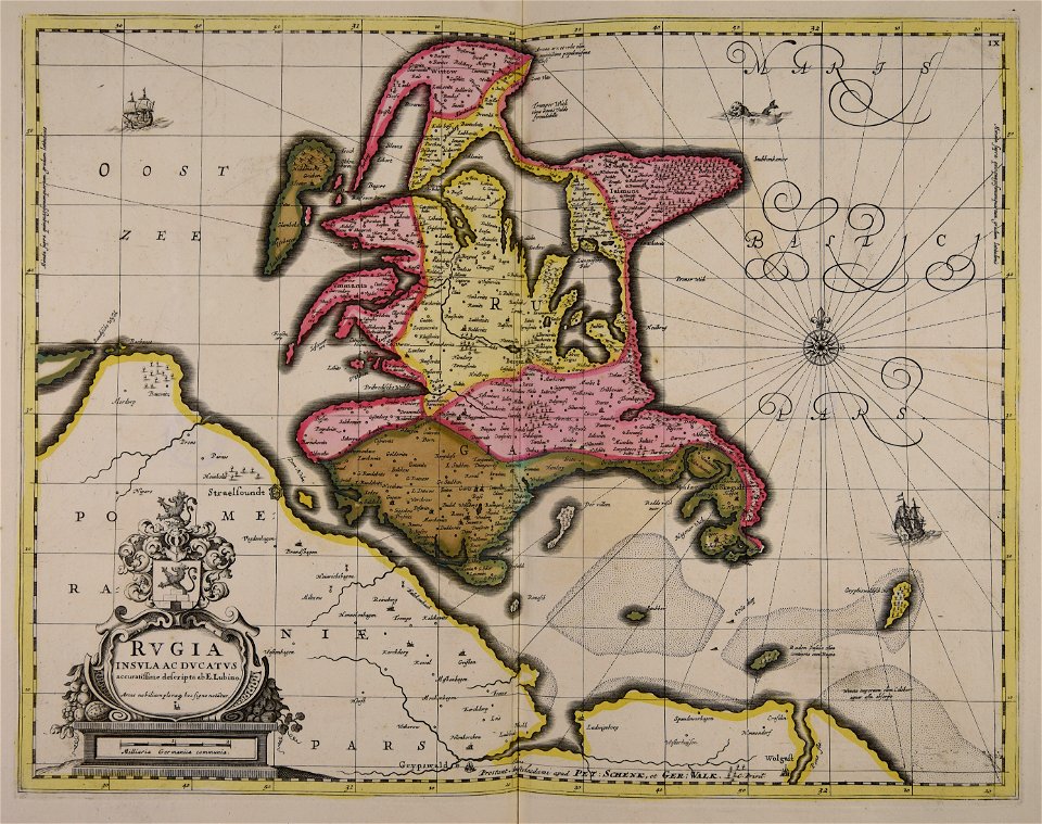
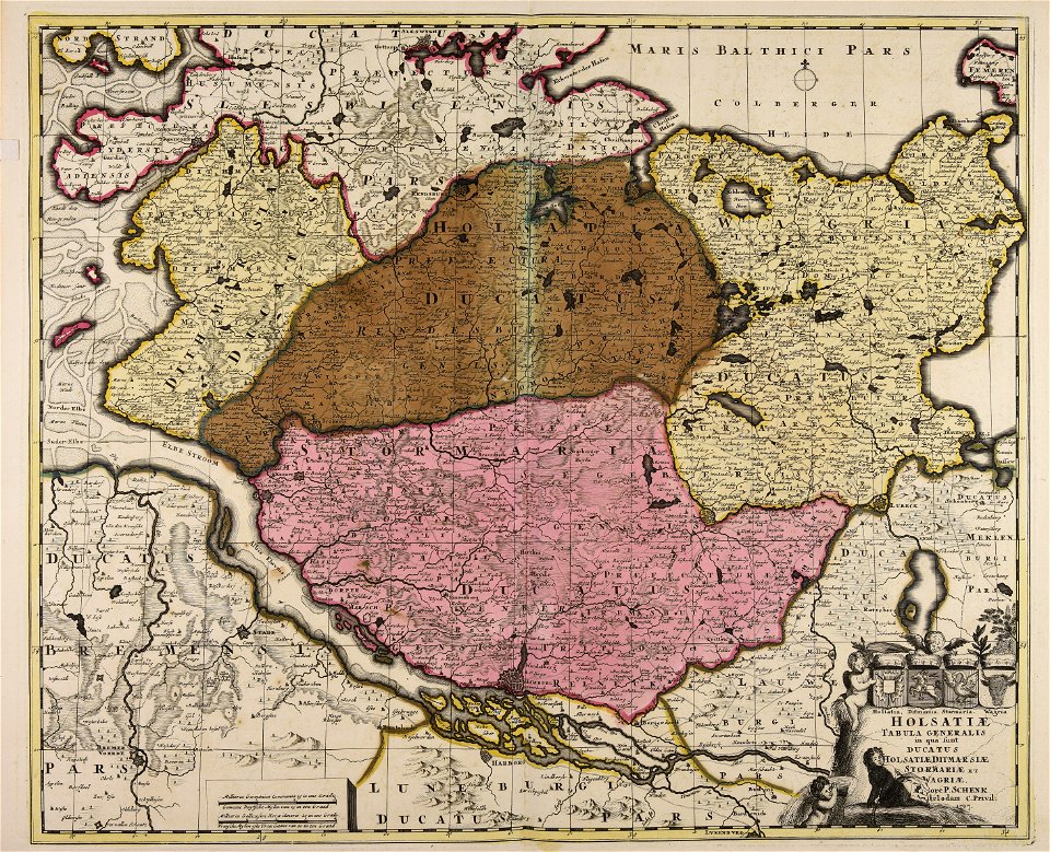
old maps of mecklenburg
gerard valck
atlantis magni tomus quintus (biblioteca comunale di trento)
maps made in the 18th century
maps made in the 18th century
johann baptist homann
maps made in the 18th century
johann baptist homann
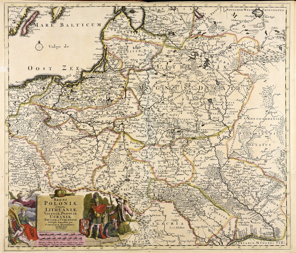
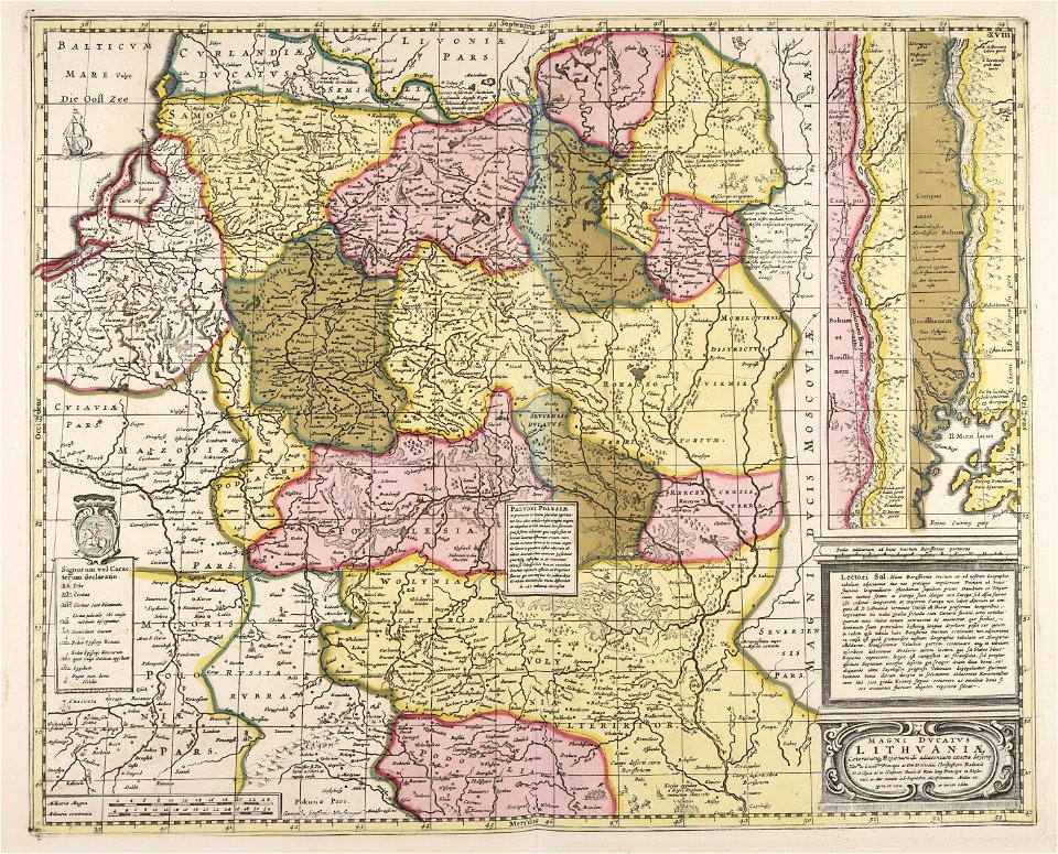
old maps of the grand duchy of lithuania
maps made in the 17th century
maps made in the 18th century
maps by pieter schenk (i)
maps made in the 18th century
gerard valck
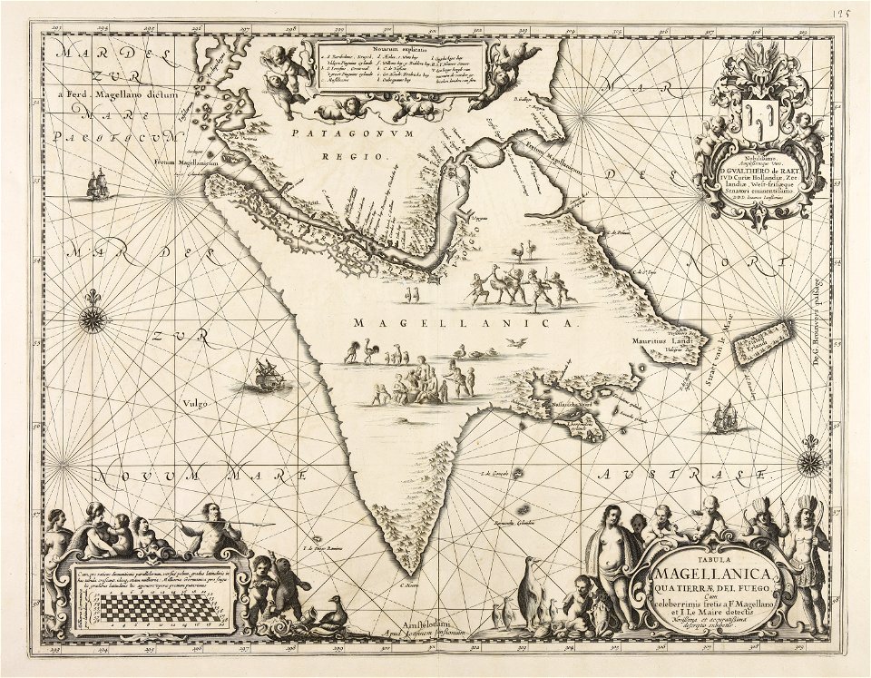
old maps of venezuela
gerard valck
maps made in the 18th century
gerard valck
maps made in the 18th century
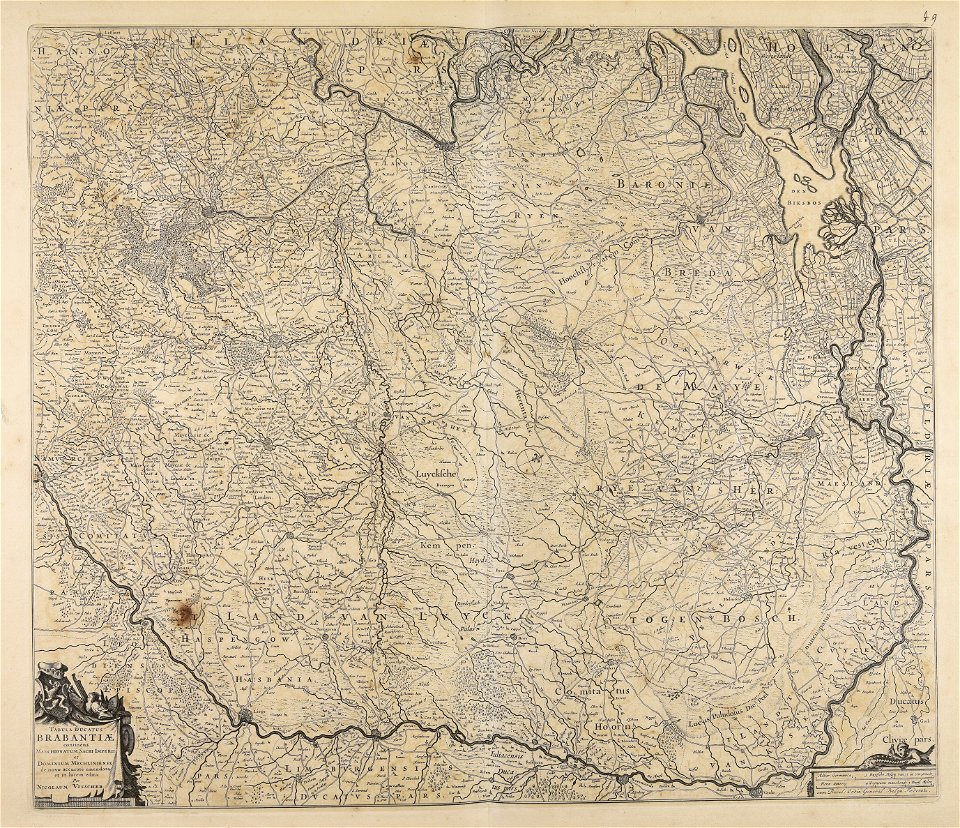
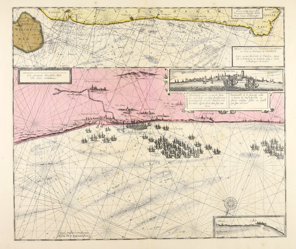
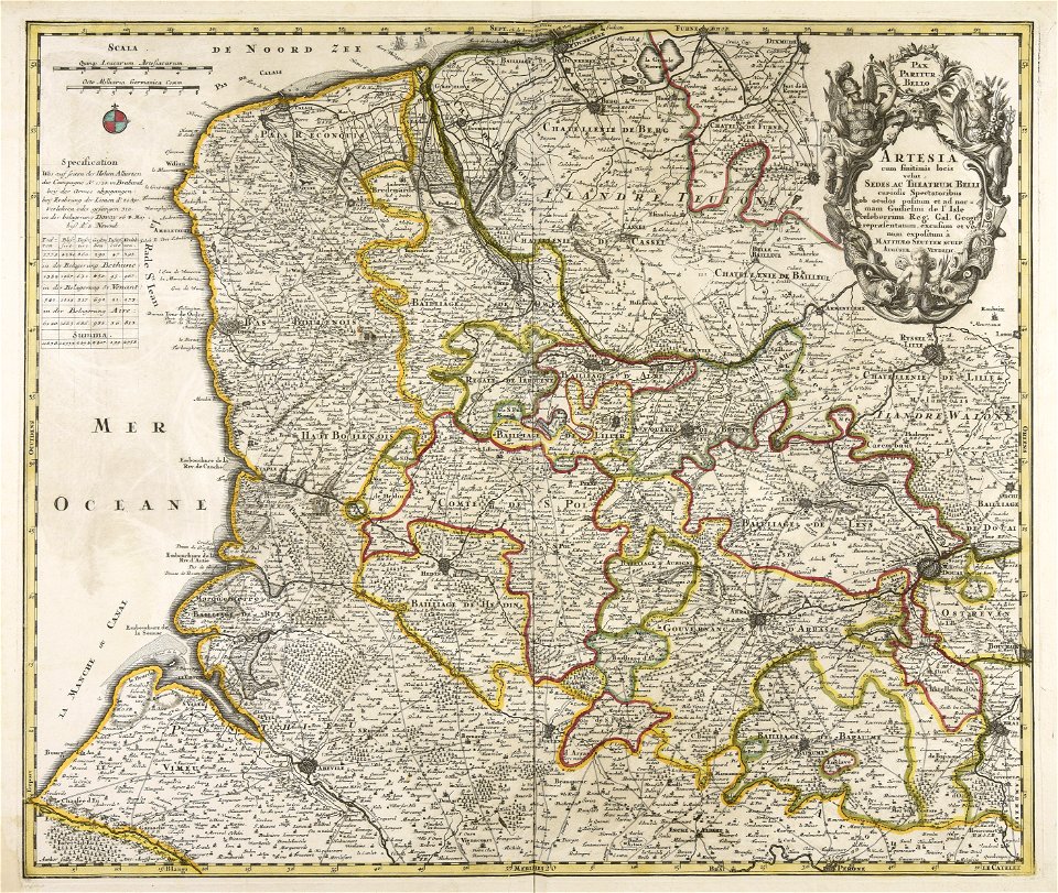
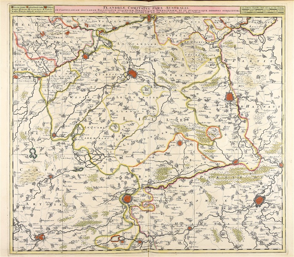
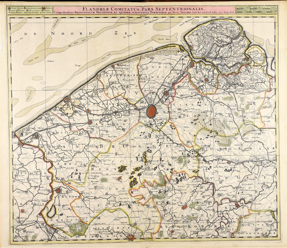
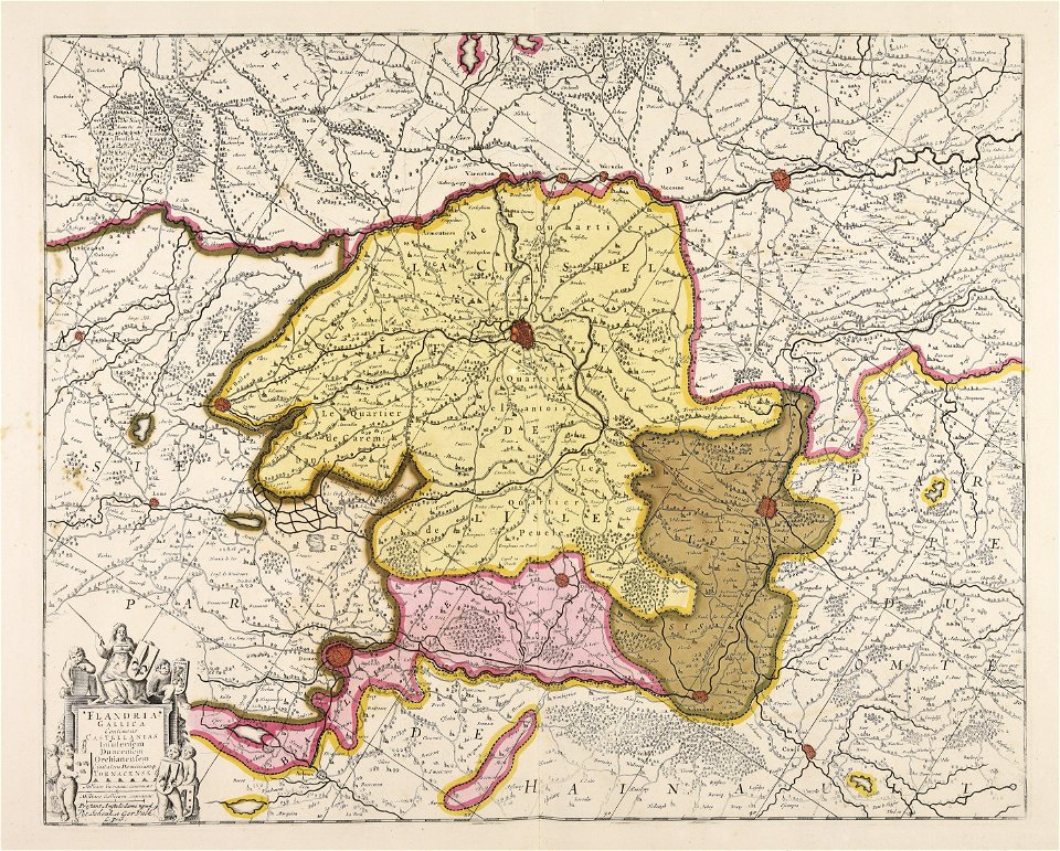
old maps of flanders
maps made in the 18th century
old maps of saxony
maps made in the 17th century
cornelis danckerts (i)
maps made in the 17th century
nicolaes visscher ii
maps made in the 18th century
gerard valck
maps made in the 18th century
jeremias wolff
johann baptist homann
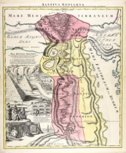
1720s maps of egypt
maps made in the 17th century
nicolaes visscher ii
maps made in the 17th century
cornelis danckerts (ii)
maps made in the 17th century
gerard valck
maps made in the 18th century
johann baptist homann
atlantis magni tomus quartus (biblioteca comunale di trento)
maps made in the 17th century
maps made in the 17th century
gerard valck
maps made in the 18th century
maps by pieter schenk (i)
maps made in the 17th century
gerard valck
maps made in the 18th century
1720s maps of egypt
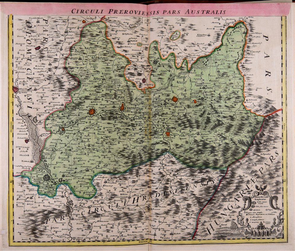
old maps of silesia
gerard valck
atlantis magni tomus quartus (biblioteca comunale di trento)
maps by nicolaes visscher i
maps made in the 18th century
gerard valck
maps made in the 17th century
jan janssonius
maps made in the 17th century
nicolaes visscher ii
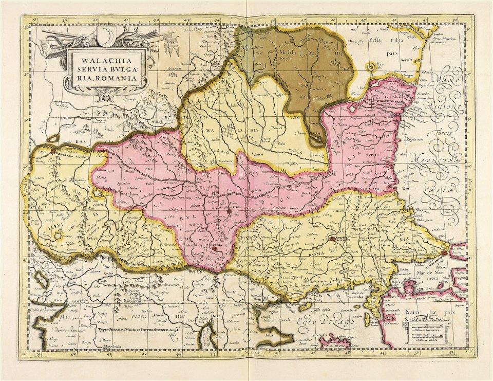
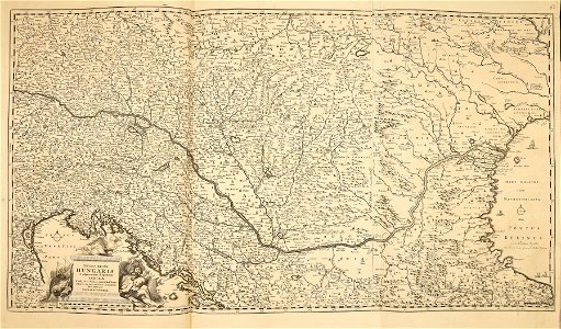
maps of romania
gerard valck
atlantis magni tomus secundus (biblioteca comunale di trento)
maps made in the 17th century
maps made in the 17th century
gerard valck
atlantis magni tomus secundus (biblioteca comunale di trento)
maps made in the 17th century
maps made in the 17th century
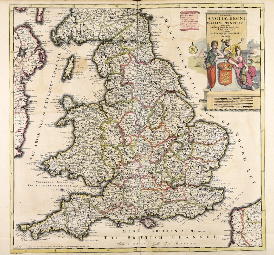
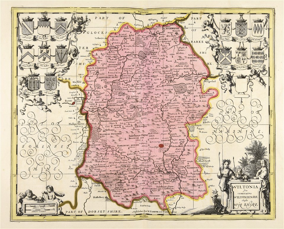
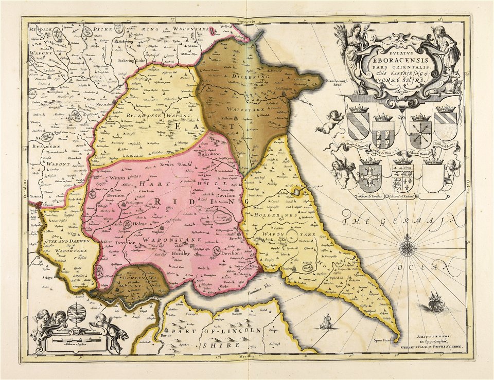
old maps of wales
maps made in the 18th century
works by guillaume delisle
maps made in the 17th century
nicolaes visscher ii
maps made in the 18th century
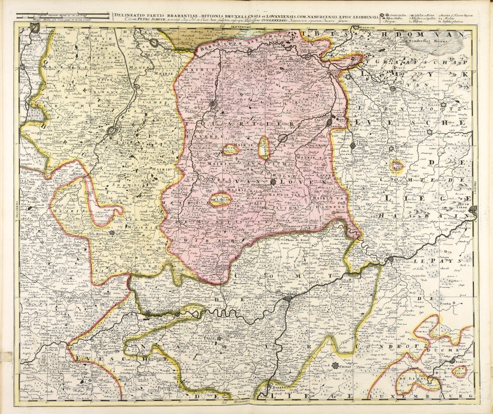
belgio
maps made in the 17th century
nicolaes visscher ii
johann baptist homann
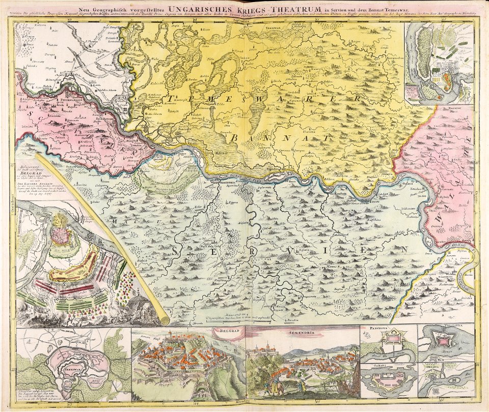
ungheria
maps made in the 17th century
gerard valck
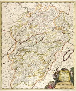
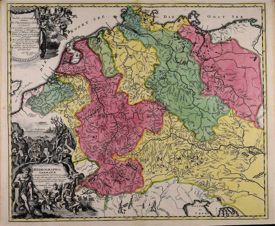
history of mansfeld land
gerard valck
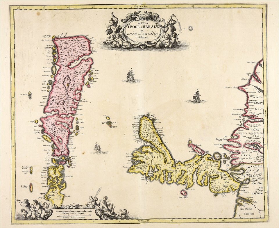
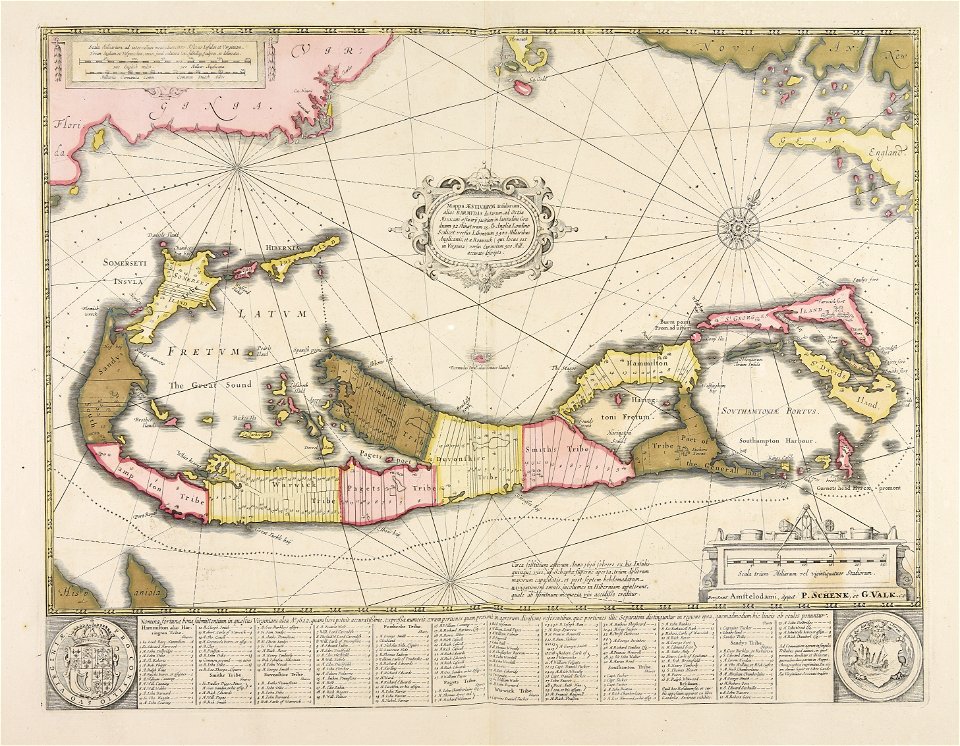
old maps of the british isles
maps made in the 18th century
atlantis magni tomus quintus (biblioteca comunale di trento)
maps made in the 18th century
maps made in the 17th century
gerard valck
maps made in the 18th century
cornelis danckerts (i)
vehicle
tree
butterfly
animals
maps made in the 17th century
maps by nicolaes visscher i
maps made in the 17th century
gerard valck
maps made in the 17th century
gerard valck
maps made in the 17th century
gerard valck
maps made in the 17th century
old maps of gelderland
maps made in the 17th century
lochaber
maps made in the 18th century
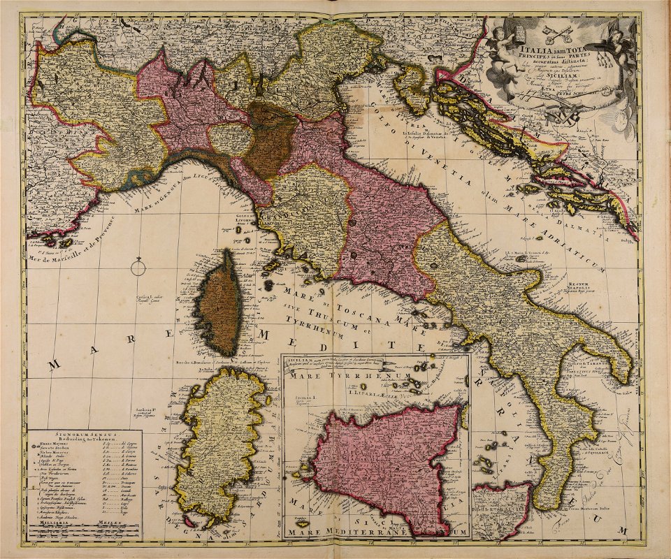
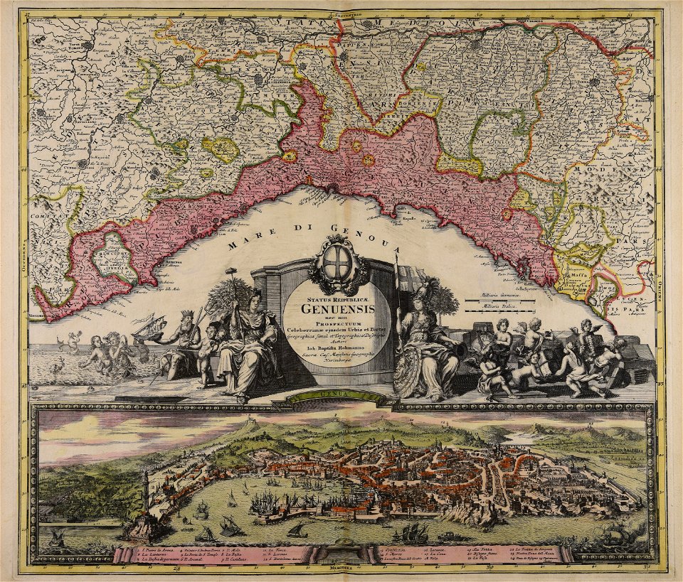
18th-century maps of italy
maps made in the 18th century
old maps of iran
maps made in the 17th century
gerard valck
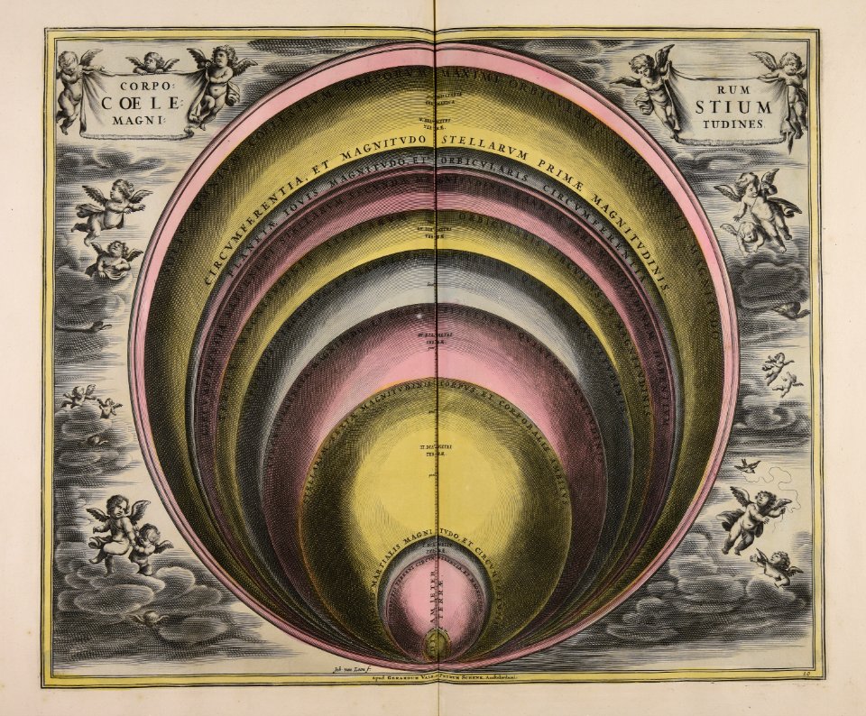
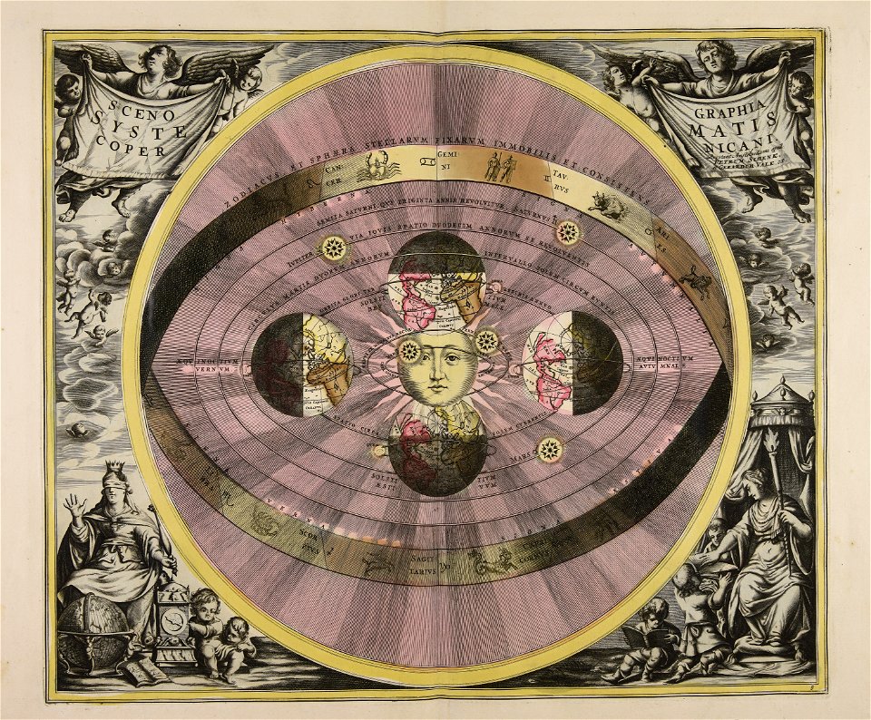
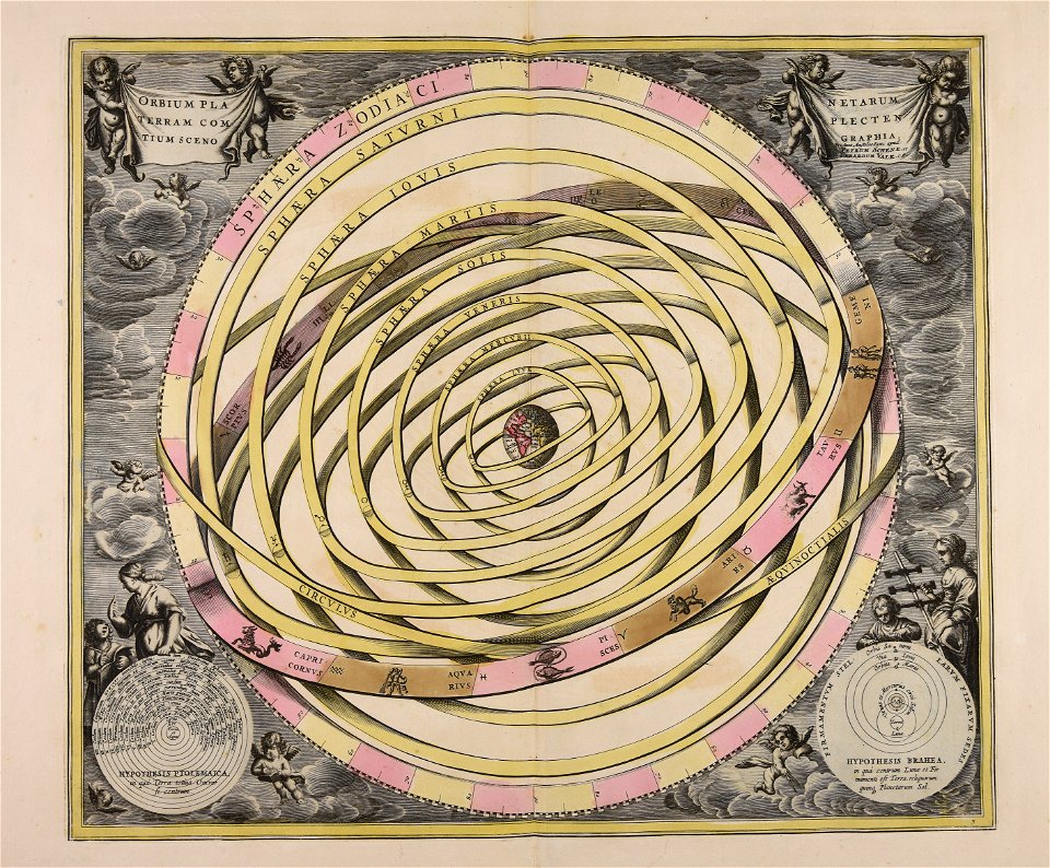
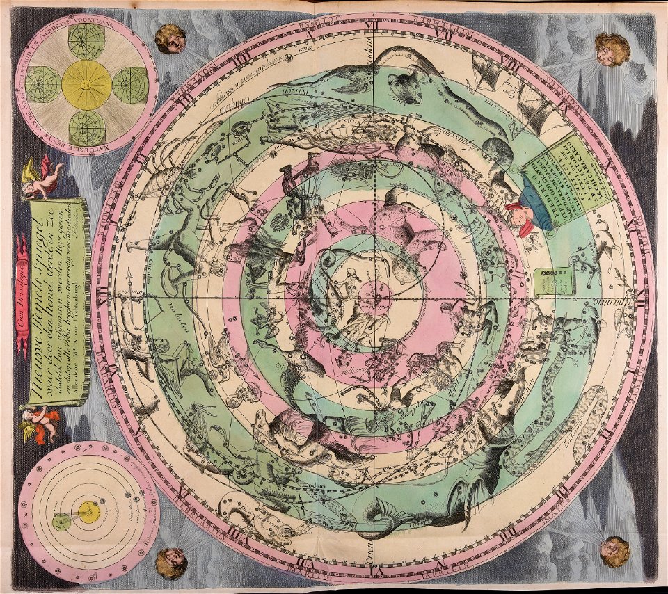
sistema solar
gerard valck
maps made in the 17th century
gerard valck
maps made in the 18th century
johann baptist homann
maps made in the 17th century
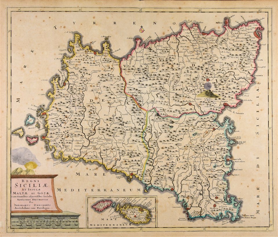
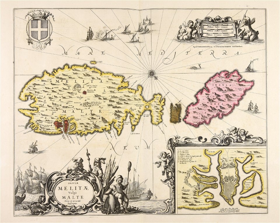
old maps of malta
maps made in the 17th century
maps by nicolaes visscher i
maps made in the 17th century
gerard valck
maps made in the 17th century
gerard valck
maps made in the 17th century
maps by nicolaes visscher i
atlantis magni tomus secundus (biblioteca comunale di trento)
maps made in the 17th century
atlantis magni tomus tertius (biblioteca comunale di trento)
maps made in the 17th century
maps made in the 18th century
old maps of europe
18th-century maps of schleswig-holstein
maps by pieter schenk (i)
maps made in the 17th century
gerard valck
maps made in the 18th century
johann baptist homann
maps made in the 18th century
johann baptist homann
maps made in the 18th century
johann baptist homann
atlantis magni tomus quintus (biblioteca comunale di trento)
maps made in the 17th century
topographic maps made in 18th century
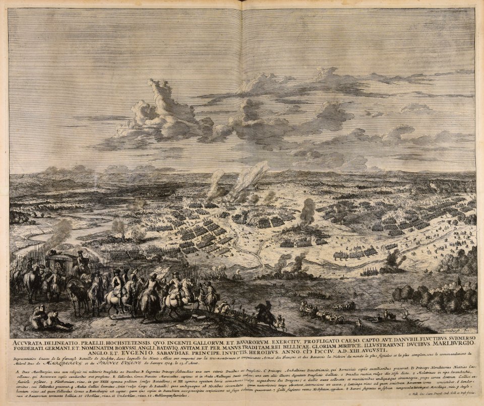
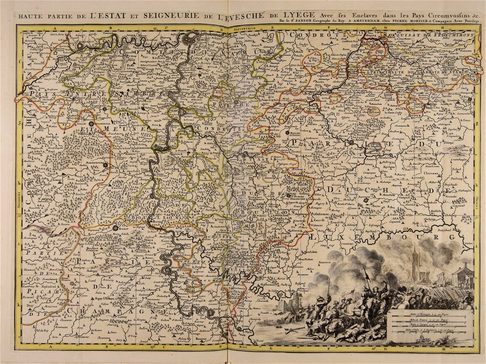
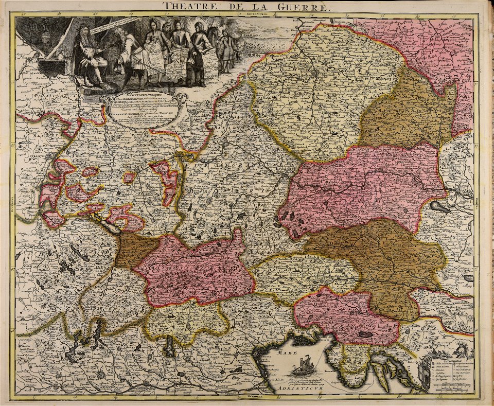
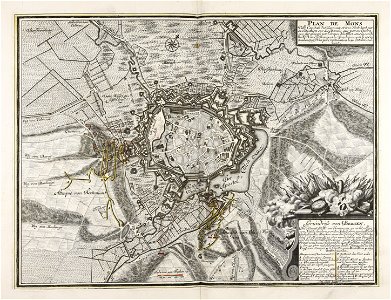
battaglia di malplaquet. 1709
maps made in the 17th century
nicolaes visscher ii
maps made in the 17th century
gerard valck
maps made in the 18th century
johann baptist homann
maps made in the 17th century
cornelis danckerts (i)
war of the spanish succession
1709
vehicle
water
blue
fly
piedmont
lombardy
maps made in the 18th century
johann baptist homann
maps made in the 17th century
gerard valck
maps made in the 18th century
old celestial maps
maps by nicolaes visscher i
claes jansz. visscher (ii)
maps made in the 17th century
gerard valck
maps made in the 18th century
johann baptist homann
maps made in the 18th century
johann baptist homann
maps made in the 17th century
gerard valck
601 - 700 of 1,000
Next page
/ 10