Log in
All resources
Create a design
Tools
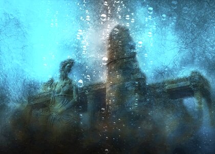
1,000 Free Images of Atlantis
gerard valck
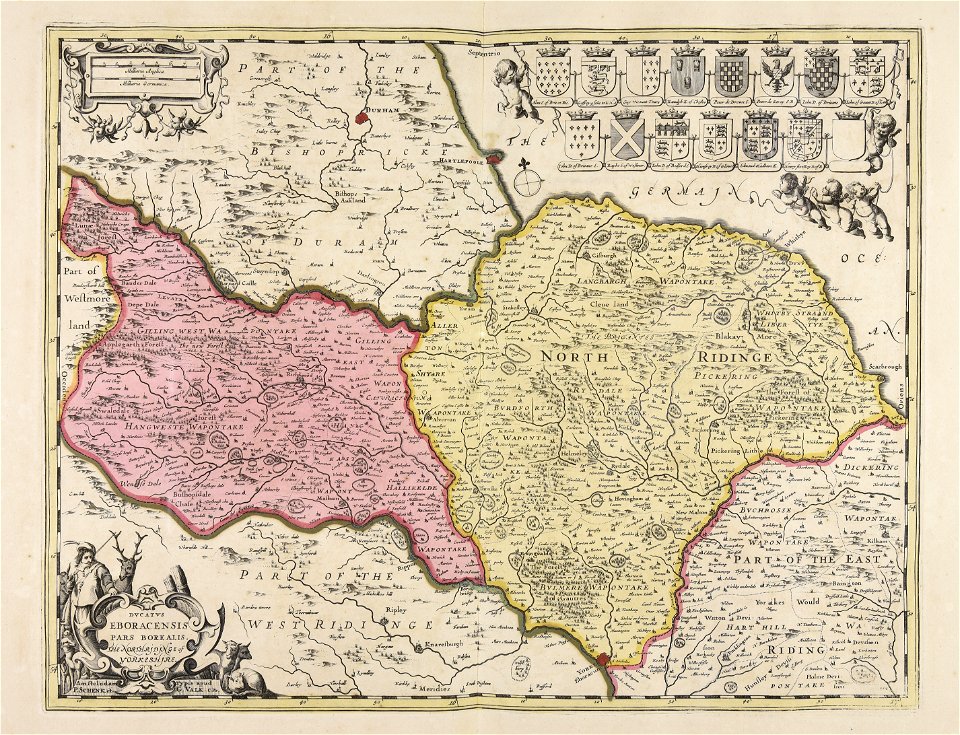
maps made in the 17th century
maps by pieter schenk (i)
maps made in the 18th century
atlantis magni tomus secundus (biblioteca comunale di trento)
atlantis magni tomus quintus (biblioteca comunale di trento)
atlantis magni tomus primus (biblioteca comunale di trento)
atlantis magni tomus quartus (biblioteca comunale di trento)
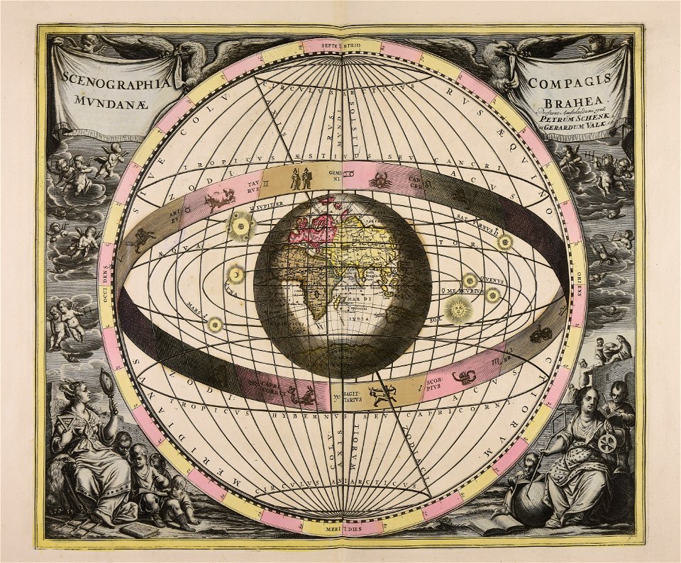
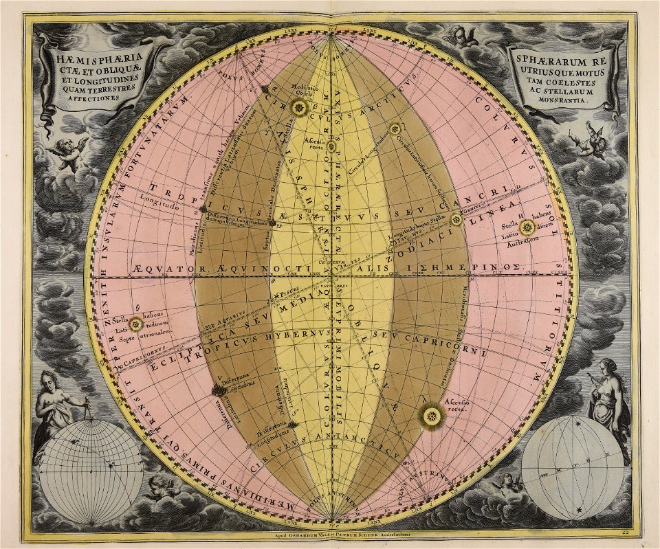
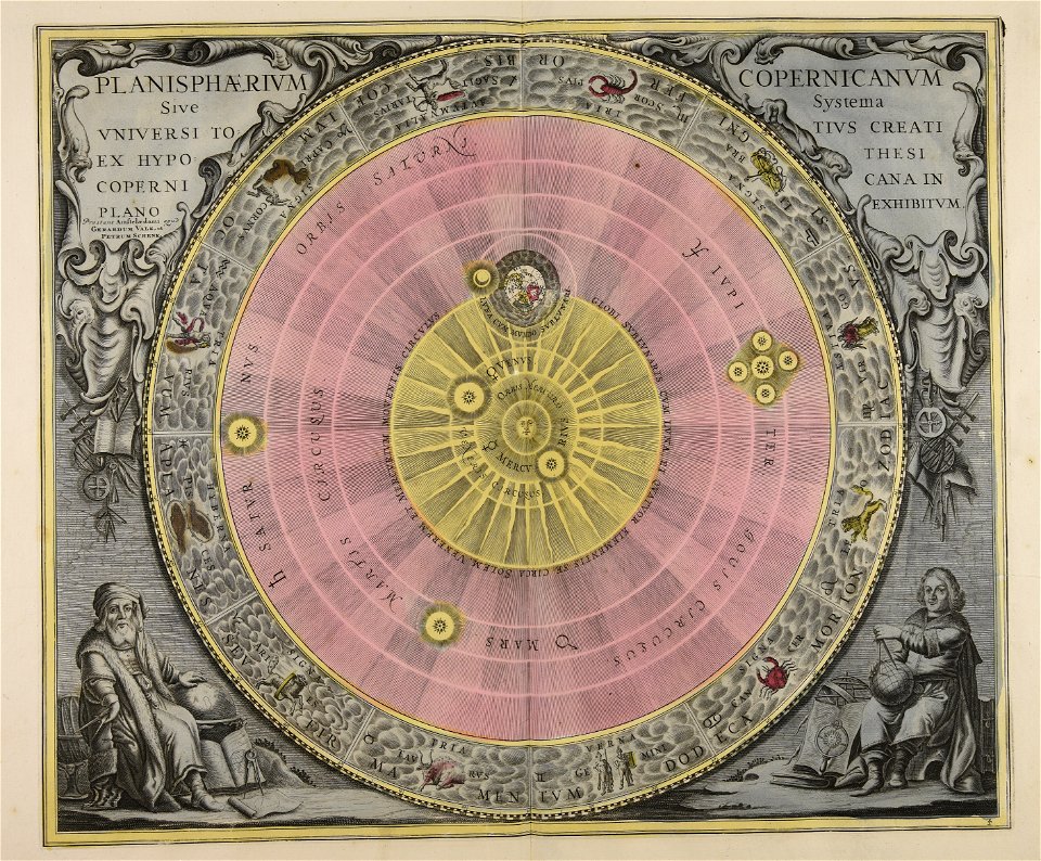
old celestial maps
pieter schenk (i)
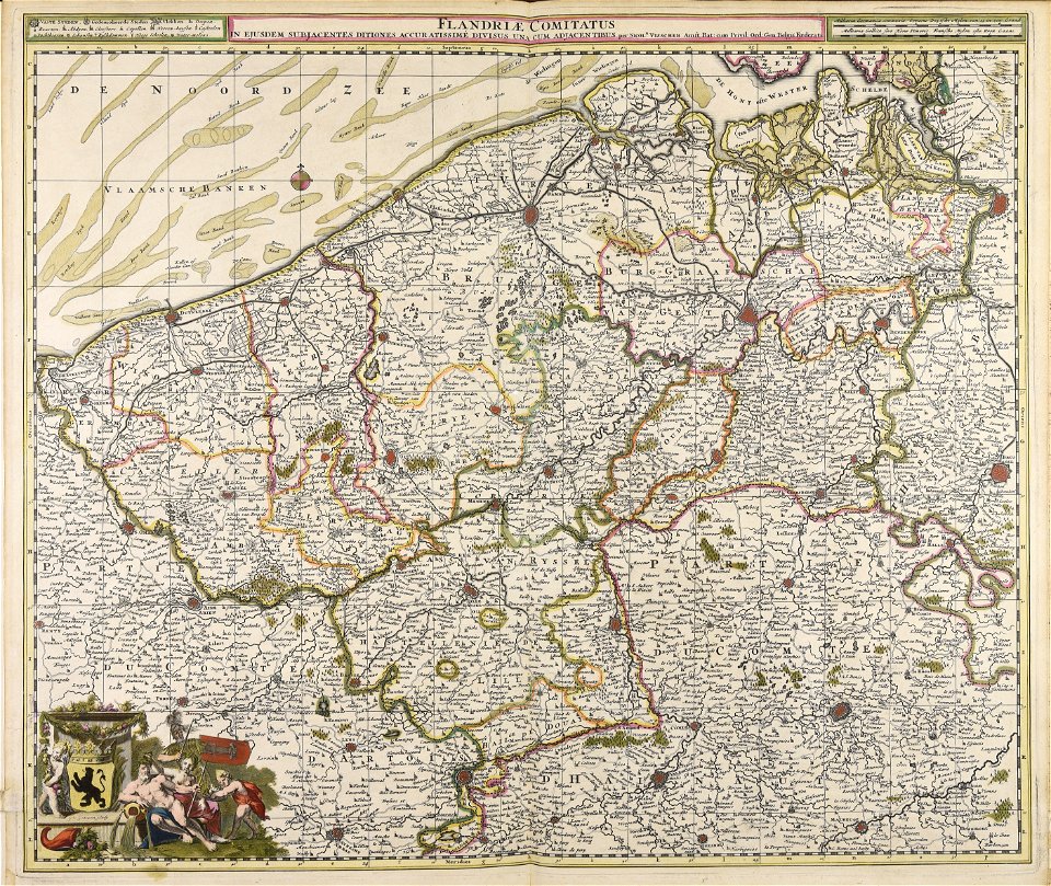
maps made in the 17th century
gerard valck
maps made in the 17th century
gerard valck
maps made in the 17th century
guillaume sanson
maps made in the 18th century
maps by pieter schenk (i)
maps made in the 17th century
gerard valck
maps made in the 17th century
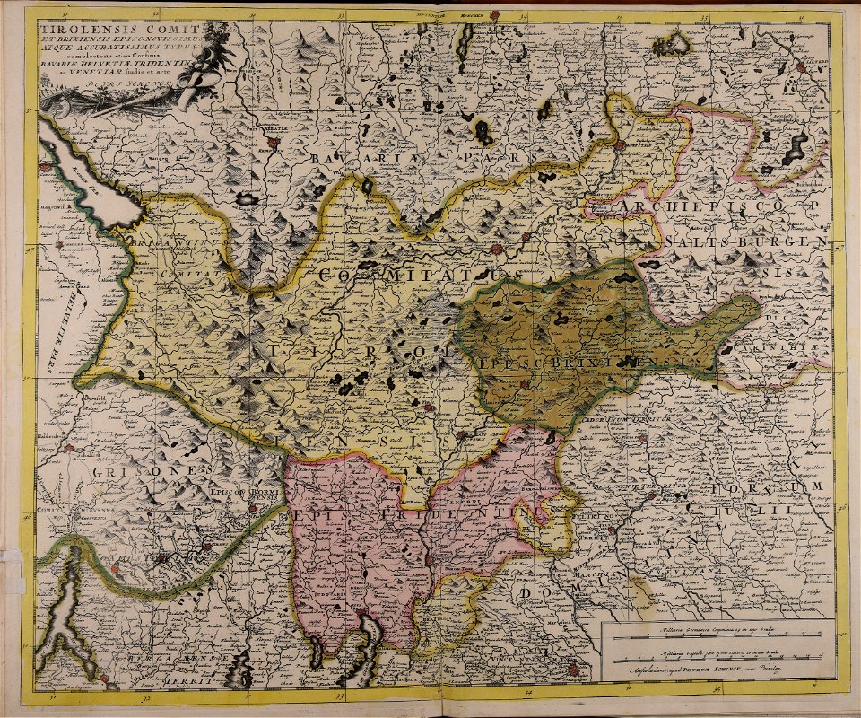
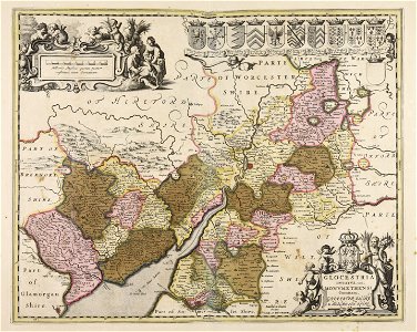
old maps of trentino
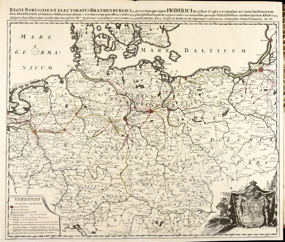
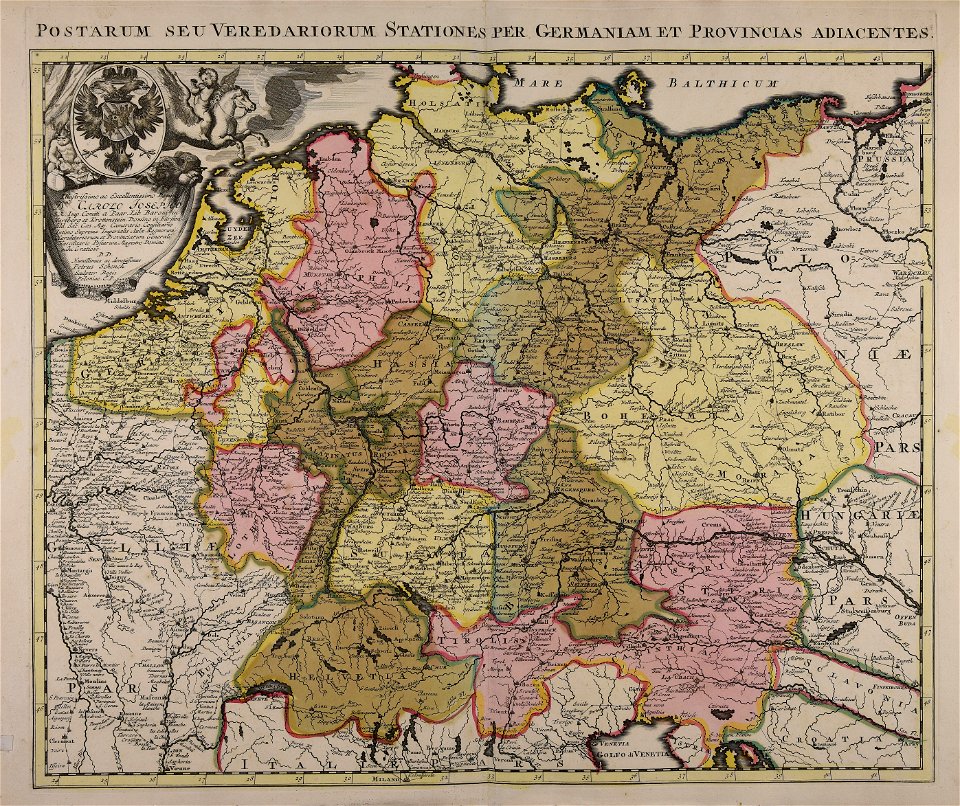
johann baptist homann
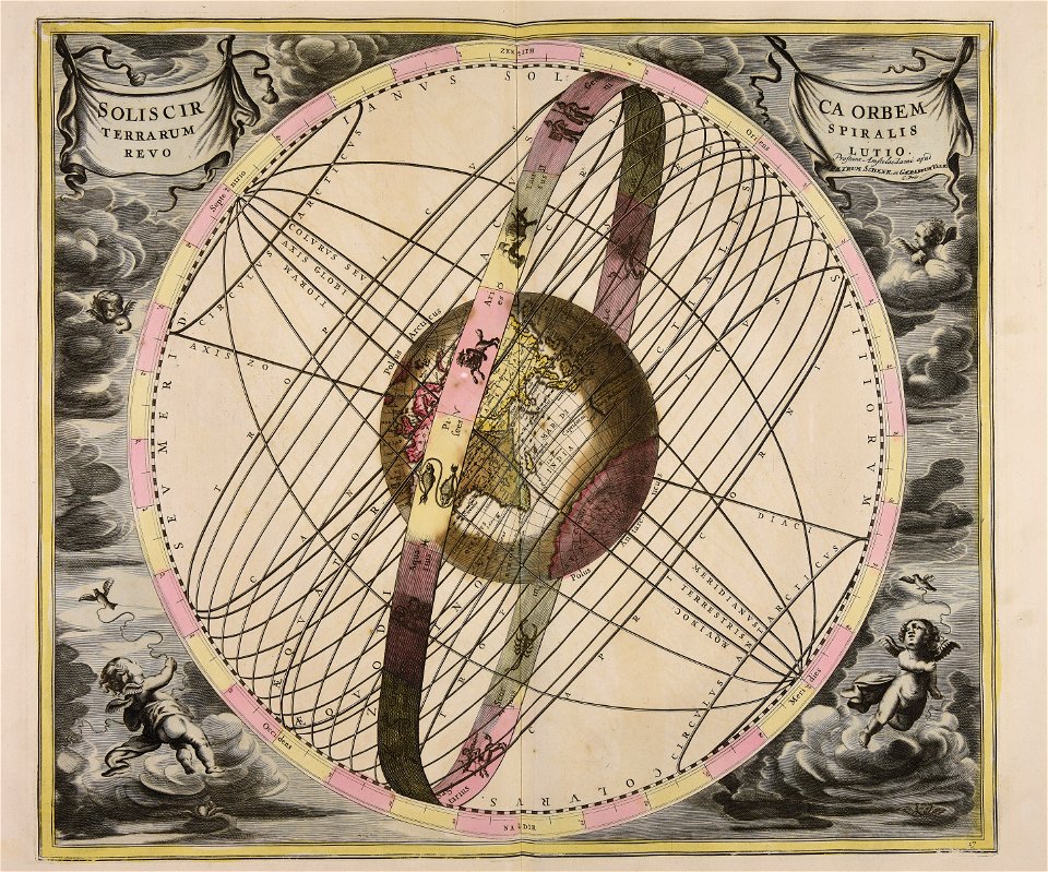
sistema solar
topographic maps made in 18th century
jeremias wolff
maps made in the 18th century
gerard valck
maps made in the 17th century
gerard valck
maps made in the 17th century
guillaume sanson
johann baptist homann
1717
maps made in the 17th century
gerard valck
maps made in the 17th century
gerard valck
maps made in the 17th century
gerard valck
gerard valck
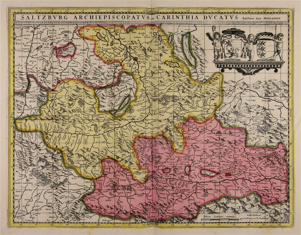
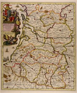
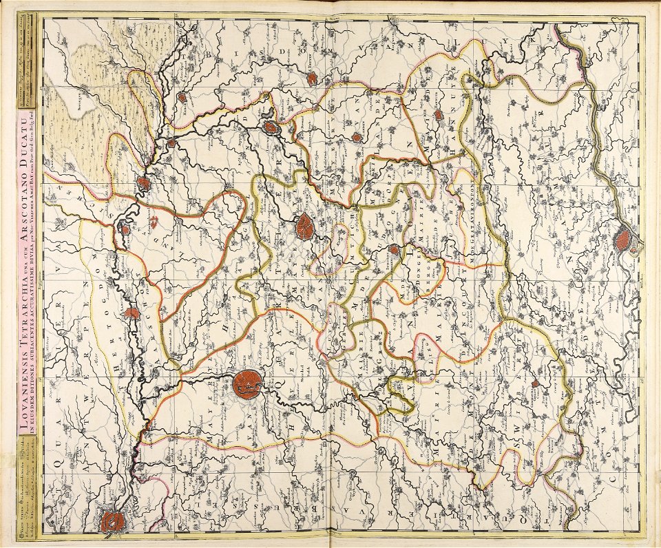
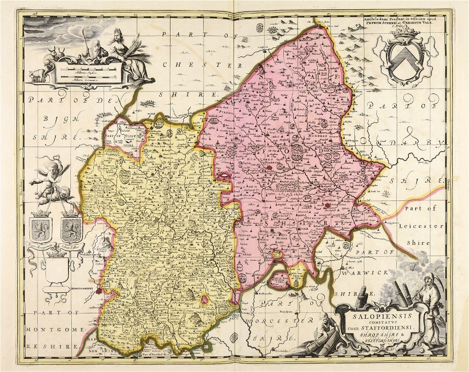
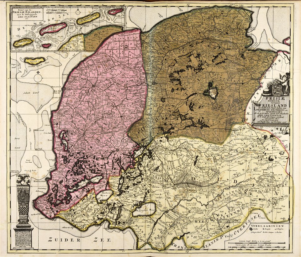
rhineland
romeyn de hooghe
gerard valck
gerard valck
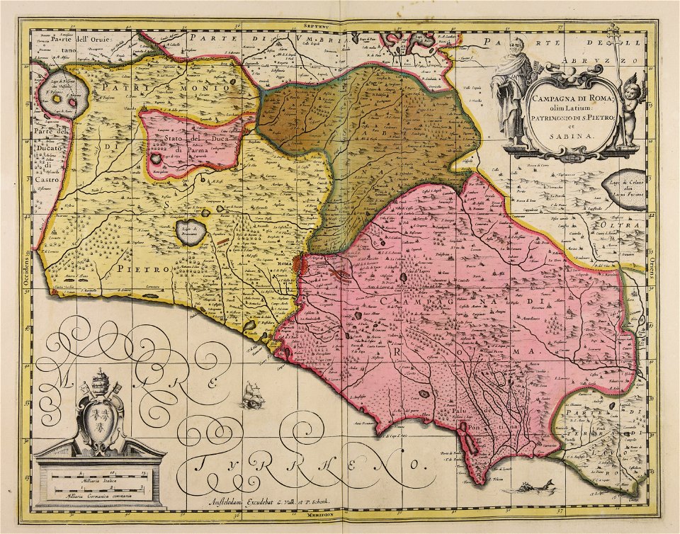
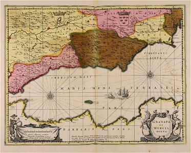
lazio
maps made in the 17th century
gerard valck
maps made in the 17th century
gerard valck
atlantis magni tomus quintus (biblioteca comunale di trento)
maps made in the 18th century
maps made in the 18th century
maps by pieter schenk (i)
maps made in the 18th century
old maps of europe
maps made in the 17th century
gerard valck
maps made in the 17th century
nicolaes visscher ii
maps made in the 18th century
terra santa
maps made in the 17th century
gerard valck
maps made in the 17th century
maps by nicolaes visscher i
maps made in the 17th century
cornelis danckerts (i)
maps made in the 17th century
gerard valck
atlantis magni tomus primus (biblioteca comunale di trento)
18th-century playing cards
maps made in the 17th century
gerard valck
gerard valck
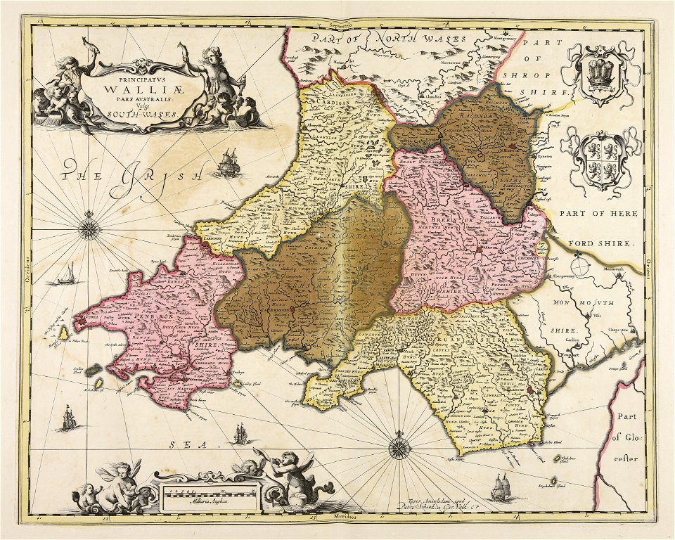
south wales
gerard valck
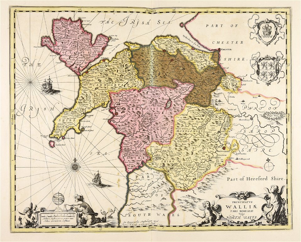
north wales
vehicle
water
water
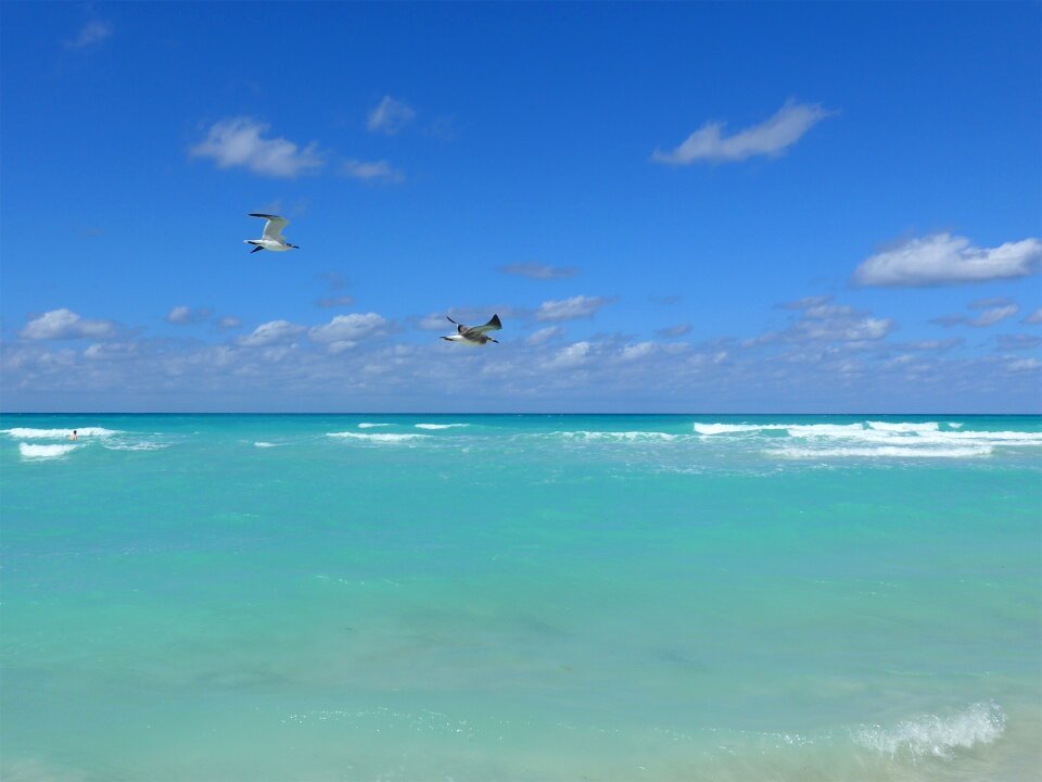
sea
maps made in the 18th century
gerard valck
maps made in the 17th century
gerard valck
gerard valck
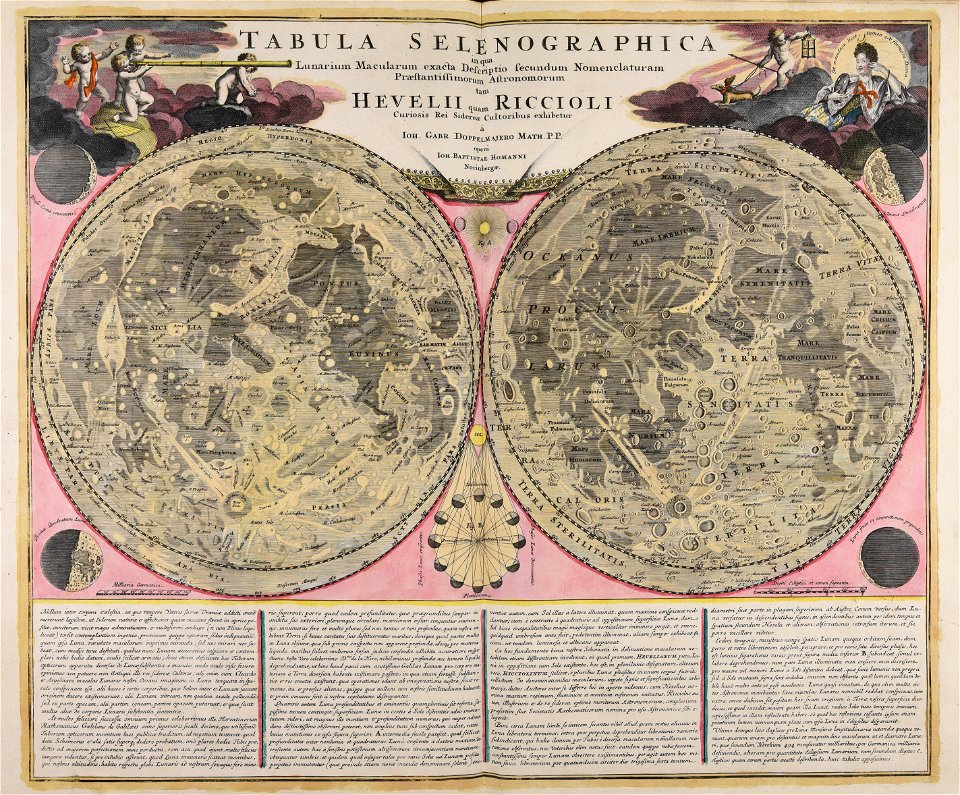
earth
maps made in the 17th century
gerard valck
maps showing history
corfu
maps made in the 17th century
gerard valck
maps made in the 17th century
nicolaes visscher ii
maps made in the 18th century
gerard valck
maps made in the 18th century
johann baptist homann
maps made in the 17th century
nicolaes visscher ii
johann baptist homann
moon
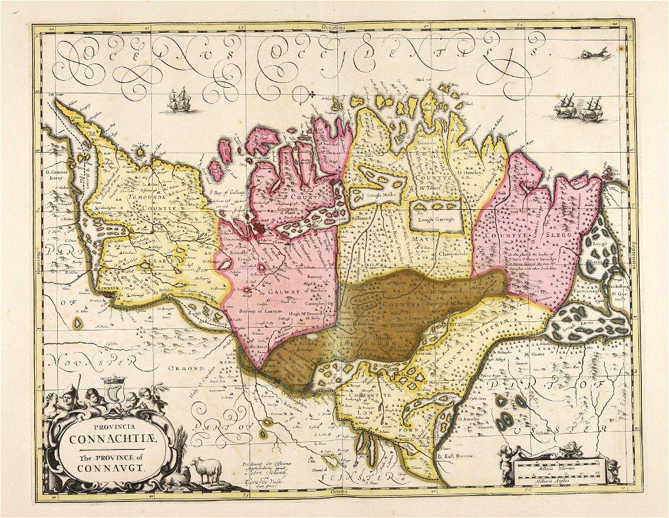
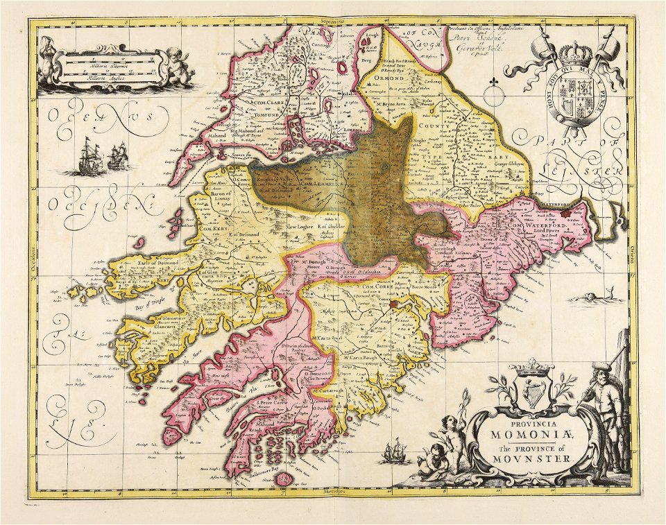
old maps of ireland
gerard valck
maps made in the 17th century
gerard valck
maps made in the 18th century
maps by pieter schenk (i)
maps made in the 17th century
gerard valck
gerard valck
campania
maps made in the 17th century
gerard valck
maps made in the 17th century
gerard valck
maps made in the 17th century
gerard valck
maps made in the 17th century
gerard valck
maps made in the 18th century
gerard valck
claes jansz. visscher (ii)
17th-century engravings
maps made in the 18th century
johann baptist homann
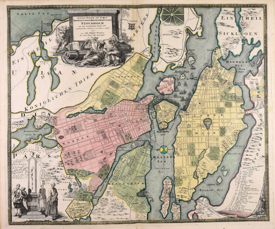
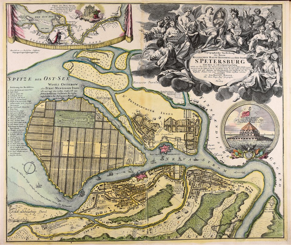
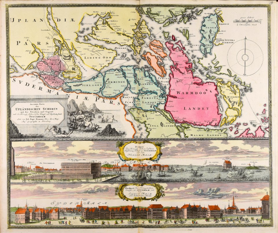
18th-century maps of stockholm
johann baptist homann
johann baptist homann
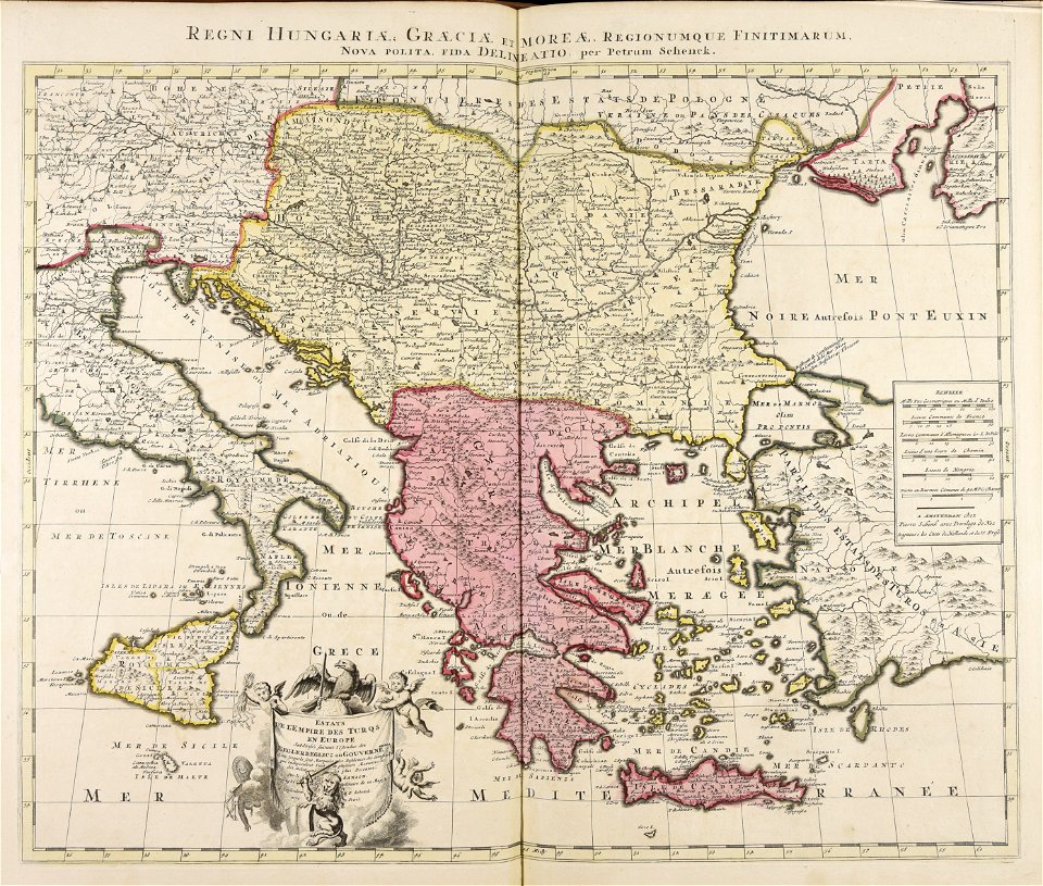
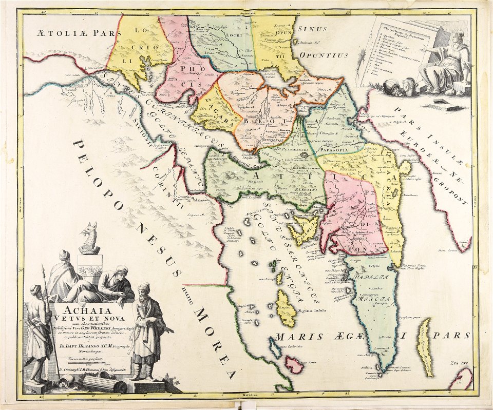
old maps of greece
maps made in the 18th century
gerard valck
maps made in the 17th century
gerard valck
maps made in the 17th century
gerard valck
maps made in the 17th century
guillaume sanson
sierra leone
gerard valck
maps made in the 17th century
gerard valck
maps made in the 17th century
gerard valck
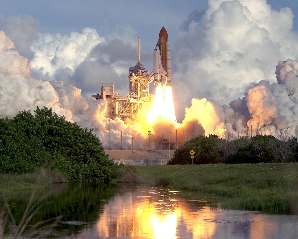
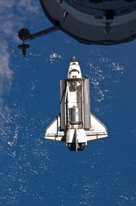
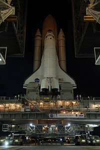
astronaut
space
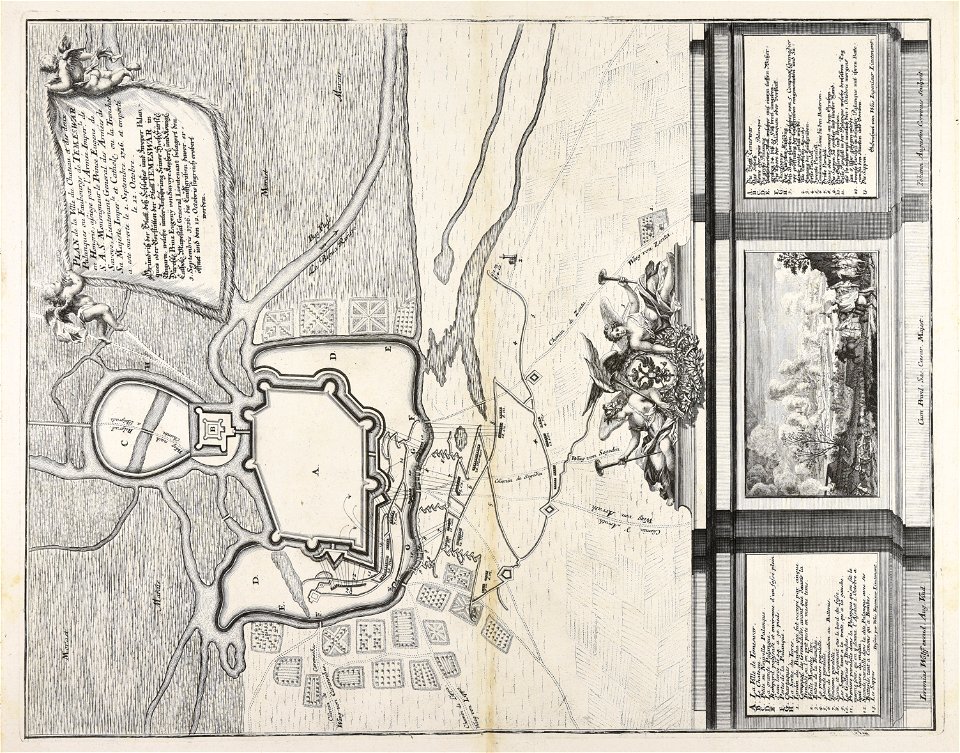
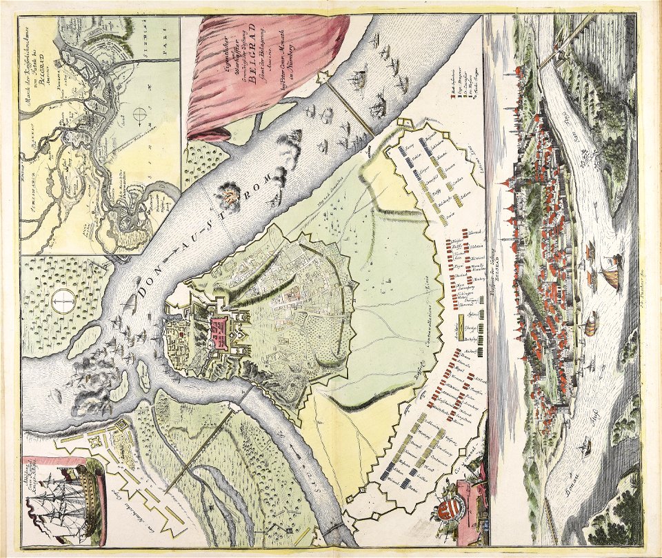
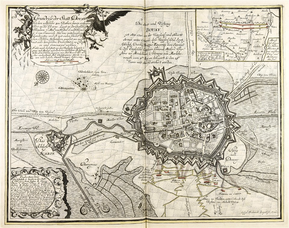
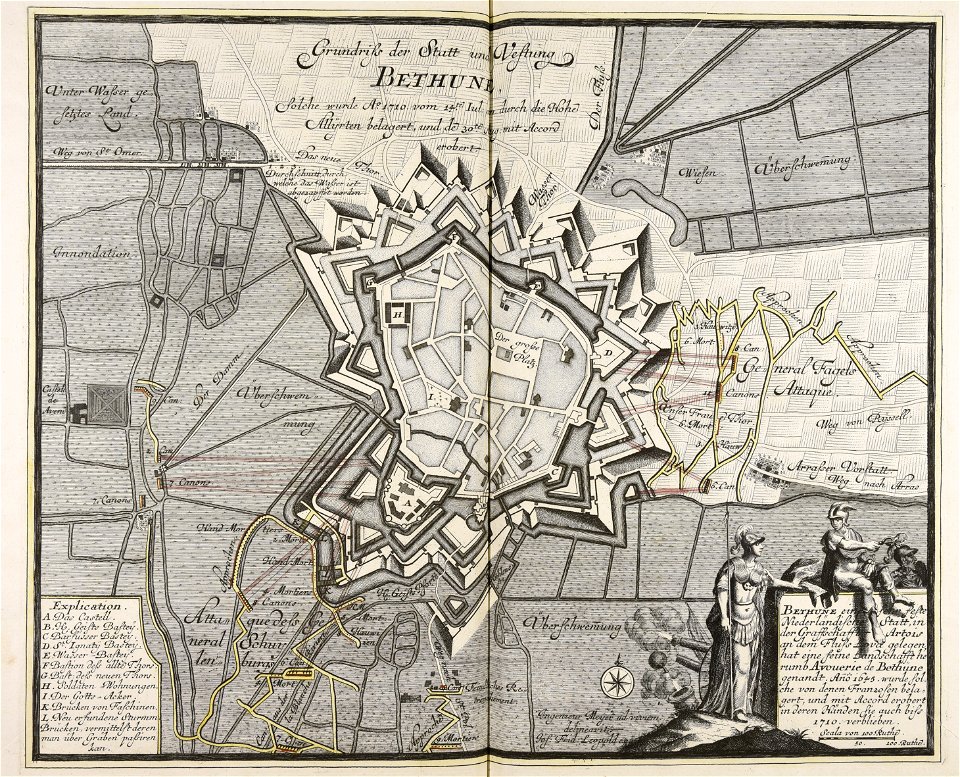
war of the spanish succession
1710
homann map st petersburg ab1720
johann baptist homann
atlantis magni tomus quintus (biblioteca comunale di trento)
maps made in the 18th century
old maps of béthune
1710
gerard valck
moti
gerard valck
earth
flags of the netherlands in art
18th-century engravings
maps made in the 17th century
gerard valck
maps made in the 17th century
johann christoph steinberger
maps made in the 17th century
nicolaes visscher ii
old maps of ireland
gerard valck
maps showing history
corfu
travel
water
vehicle
space
self-published work
city
maps made in the 17th century
maps by nicolas sanson
maps made in the 17th century
gerard valck
maps made in the 18th century
gerard valck
maps made in the 18th century
1705
maps made in the 17th century
gerard valck
maps made in the 17th century
gerard valck
18th-century maps of stockholm
veduta
maps made in the 18th century
old maps of europe
maps made in the 17th century
gerard valck
water
sea
vehicle
water
spacecraft
vehicle
maps made in the 17th century
gerard valck
gerard valck
earth
maps made in the 18th century
gerard valck
maps made in the 18th century
gerard valck
701 - 800 of 1,000
Next page
/ 10