Log in
All resources
Create a design
Tools
19,071 Free Images of Made
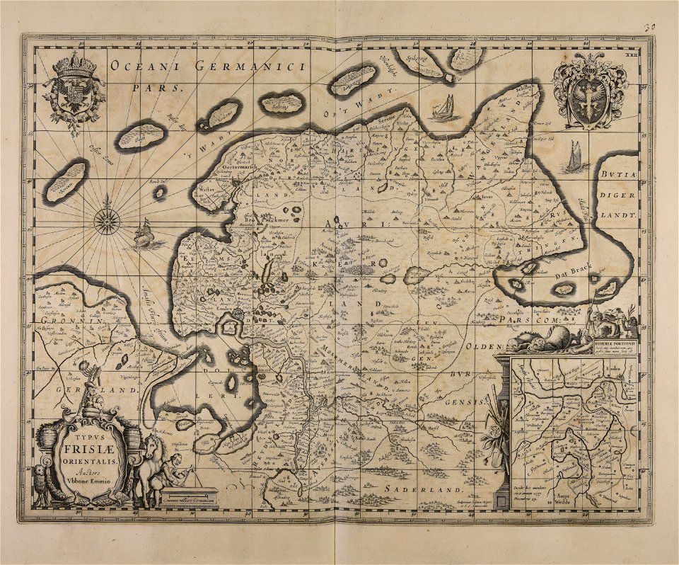
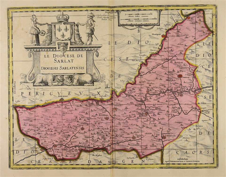
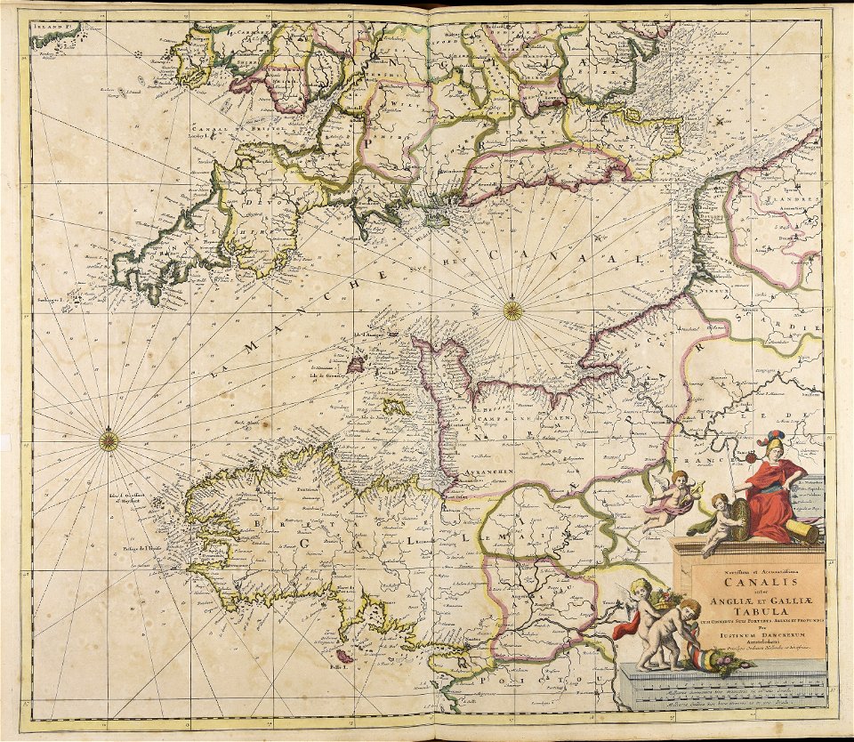
maps made in the 17th century
cc-zero
gerard valck
maps by pieter schenk (i)
atlantis magni tomus quartus (biblioteca comunale di trento)
food
maps made in the 18th century
atlantis magni tomus secundus (biblioteca comunale di trento)
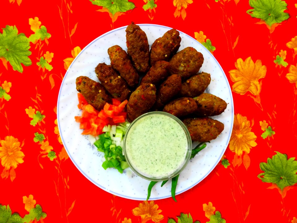
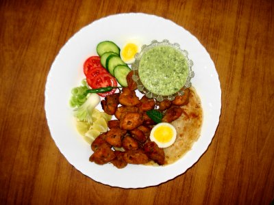
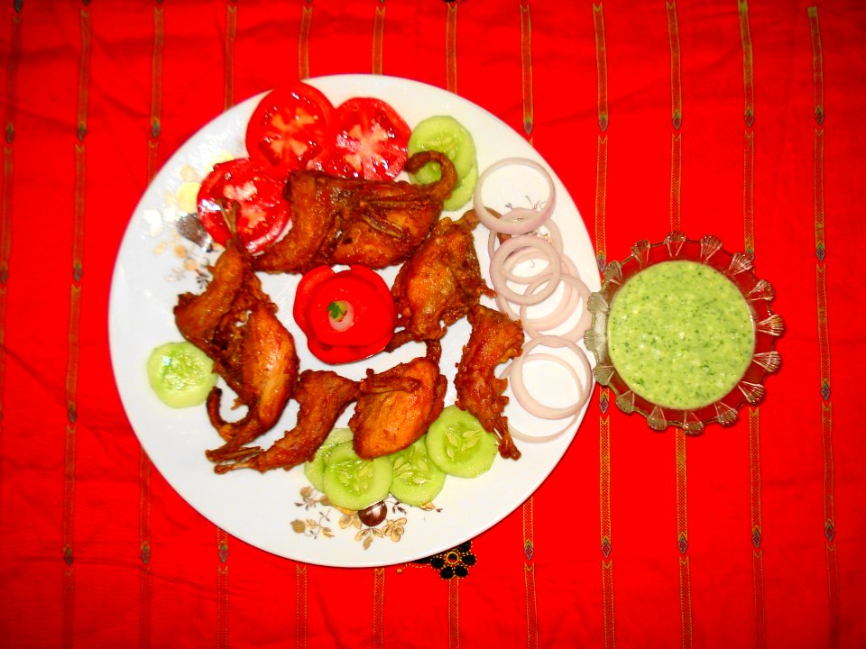
cuisine of punjab, india, made by user miansari66
atlantis magni tomus tertius (biblioteca comunale di trento)
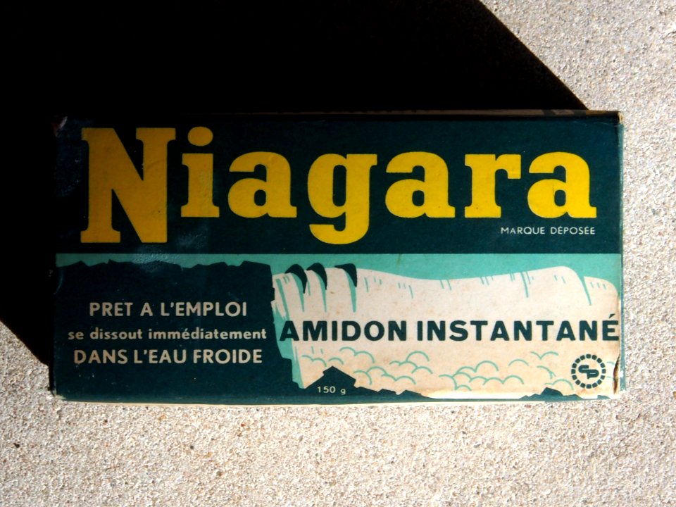
with trademark
letter
plate
food
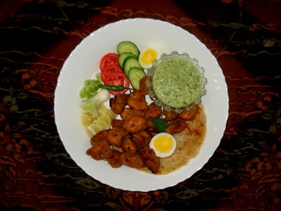
plate
food
self-published work
cc-zero
self-published work
cc-zero
close-up photographs of man-made objects
crown
john kerry visit to vietnam
august 2015
color images from livrustkammaren
images from livrustkammaren
cityscape
city
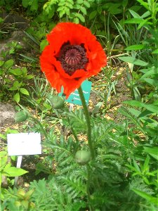
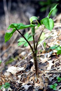
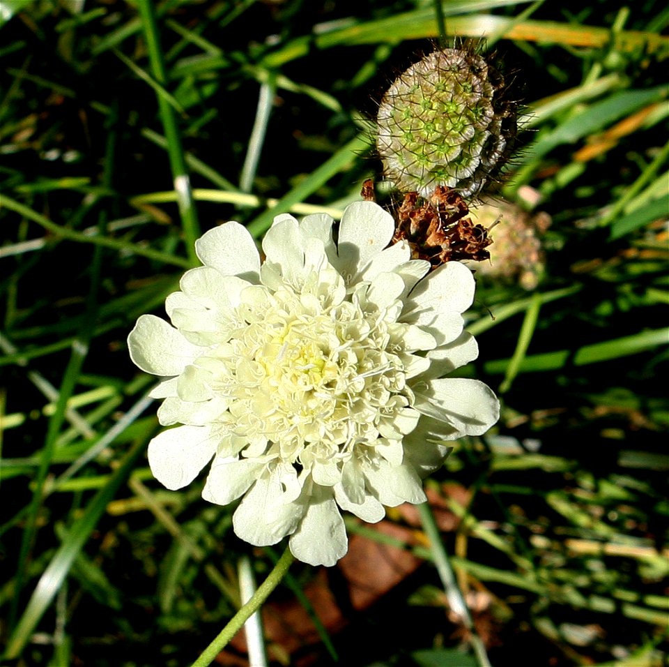
papaveraceae
plants
animals
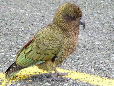
bird
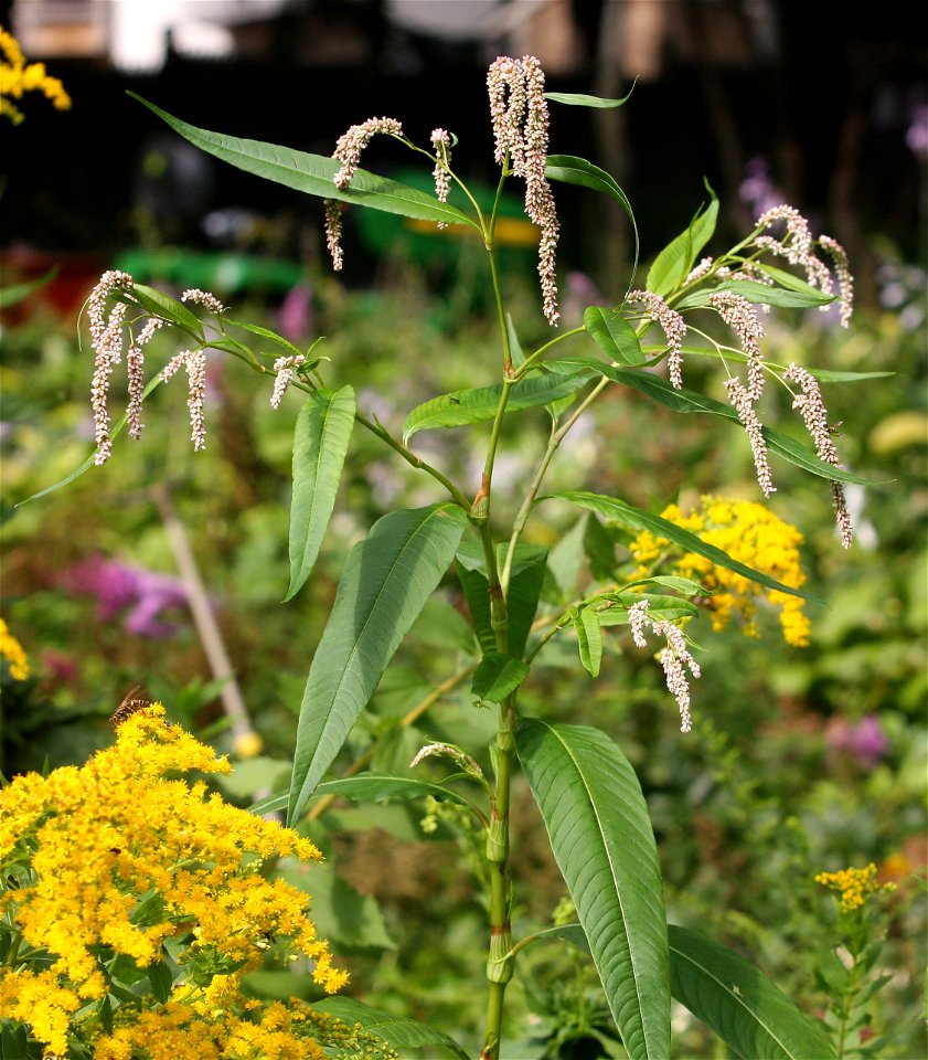
polygonaceae
plants
plants
garden
maps made in the 17th century
maps by johannes janssonius
gerard valck
syria
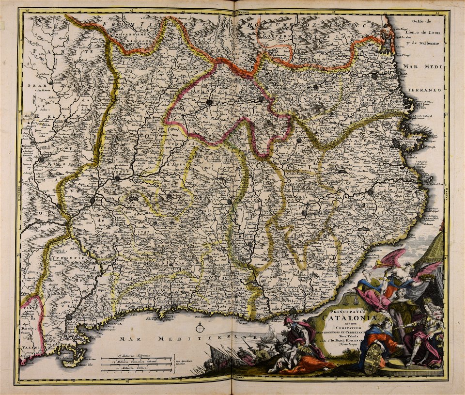
johann baptist homann
catalonia
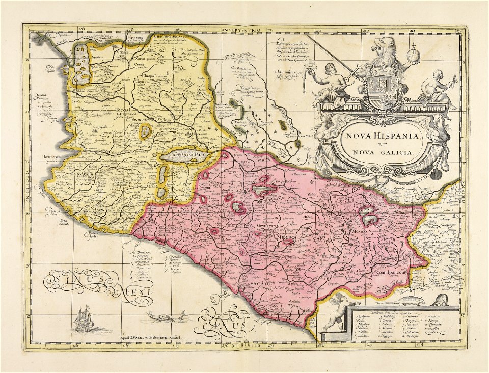
maps made in the 18th century
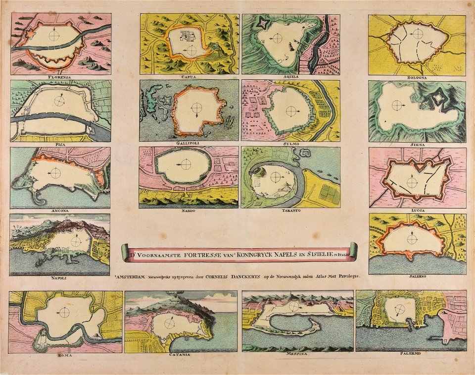
cornelis danckerts (i)
maps made in the 17th century
gerard valck
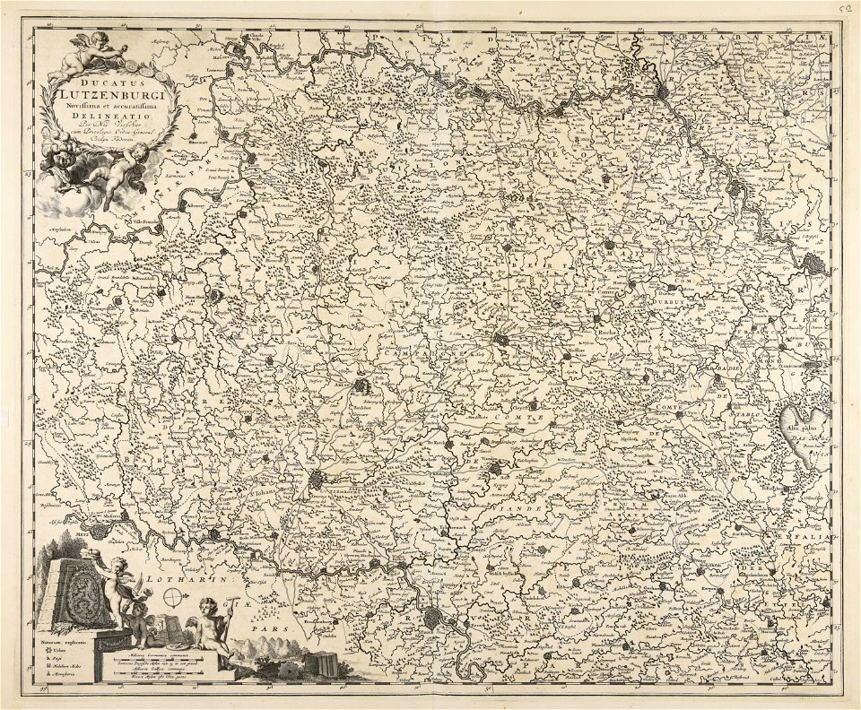
maps made in the 17th century
gerard valck
maps made in the 18th century
gerard valck
maps made in the 17th century
nicolaes visscher ii
maps made in the 17th century
gerard valck
maps made in the 17th century
gerard valck
atlantis magni tomus secundus (biblioteca comunale di trento)
maps made in the 17th century
maps made in the 17th century
gerard valck
maps made in the 17th century
giappone
atlantis magni tomus secundus (biblioteca comunale di trento)
maps made in the 17th century
gerard valck
england
maps made in the 17th century
gerard valck
sailing frigates of the united states navy
adam cuerden's restorations
kitchen
food
sweets
food
christmas decoration
christmas
motorcycle
sport
autumn
bats
berries
food
sweets
food
plate
food
self-published work
cc-zero
white
food
cuisine of punjab, india, made by user miansari66
self-published work
plate
food
self-published work
cc-zero
white
food
self-published work
cc-zero
self-published work
fuchi
food
meal
cuisine of punjab, india, made by user miansari66
food
asian objects in the american museum of natural history
cc-zero
self-published work
cc-zero
with trademark
letter
cuisine of punjab, india, made by user miansari66
food
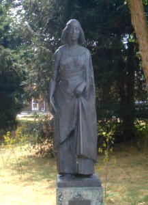
ancient statues from cyprus
art made from limestone
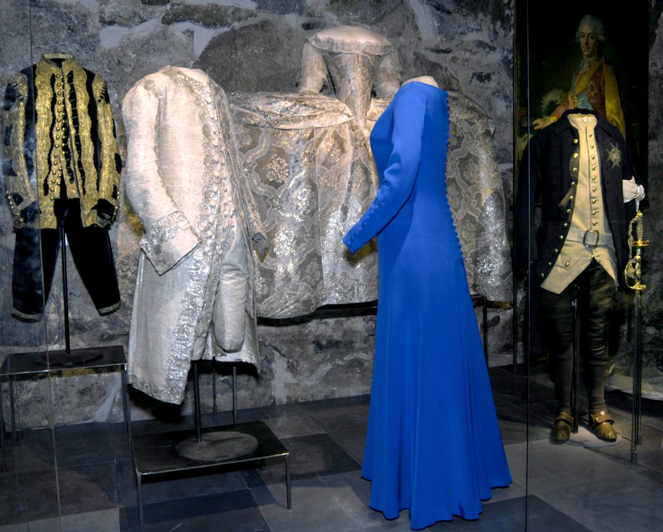
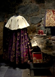
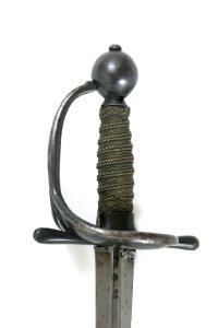
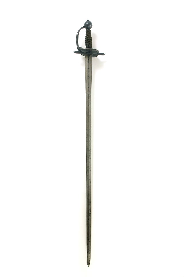
color images from livrustkammaren
images from livrustkammaren
color images from livrustkammaren
images from livrustkammaren
color images from livrustkammaren
images from livrustkammaren
color images from livrustkammaren
images from livrustkammaren
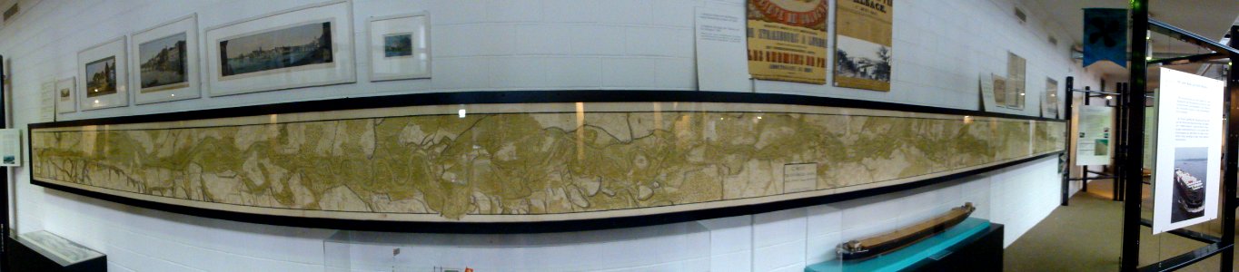
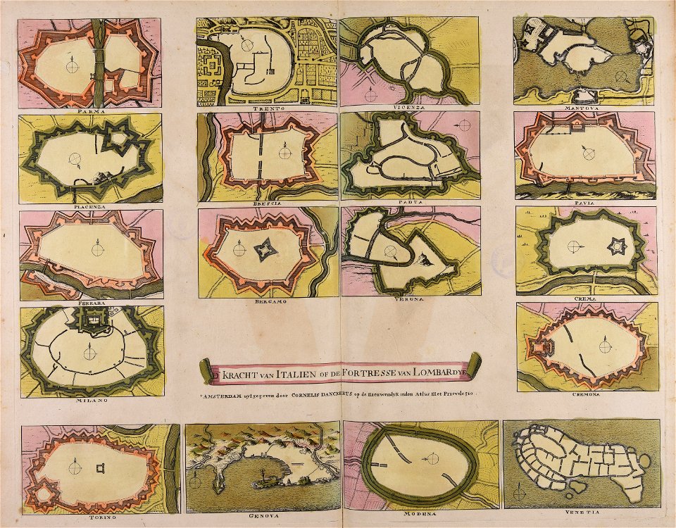
verkehrsdrehscheibe schweiz und unser weg zum meer
maps made in the 18th century
plants
brown
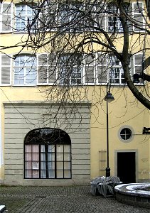
breisacher tor (freiburg im breisgau)
breisach gate
apiaceae
plants
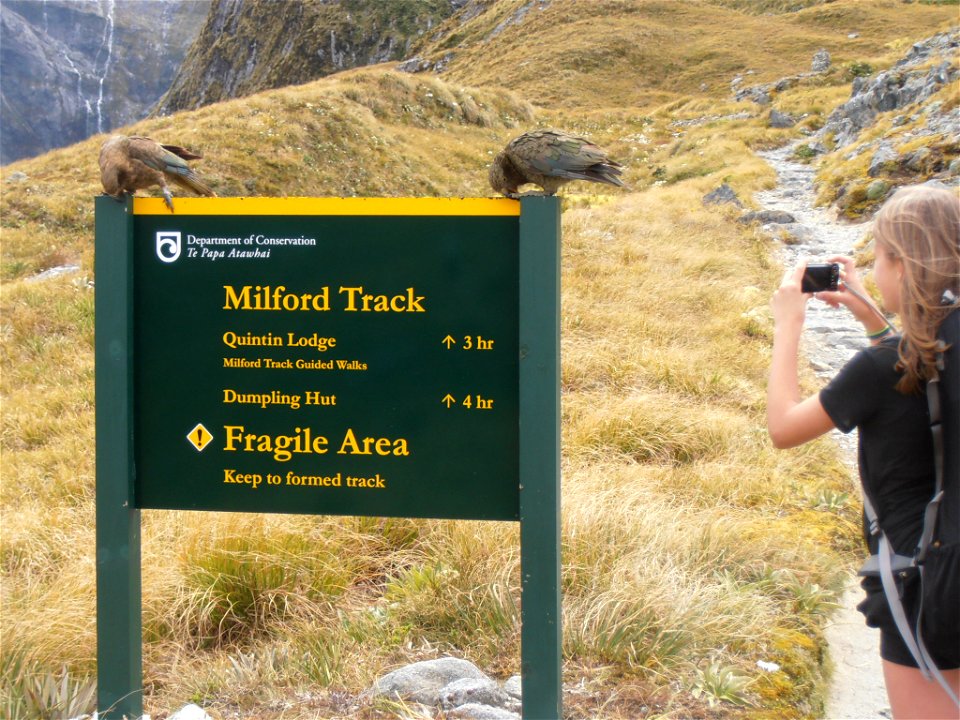
animals
bird
nature
plants
cornelis danckerts (i)
defensive walls
maps made in the 18th century
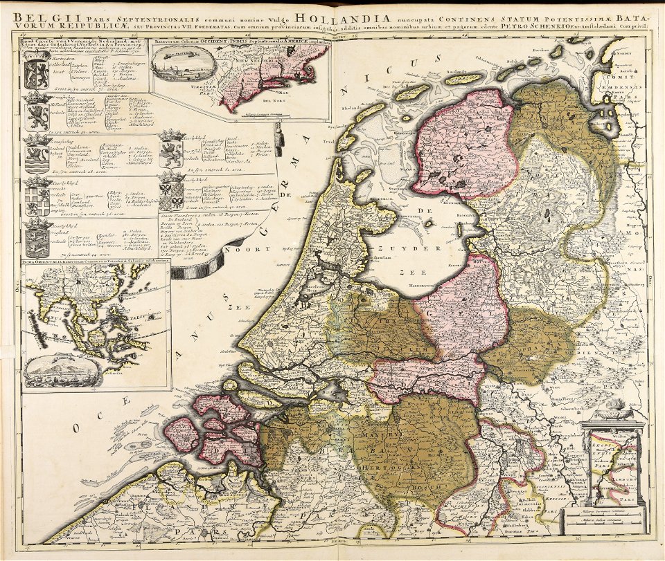
paesi bassi
maps made in the 17th century
gerard valck
maps made in the 17th century
maps by nicolaes visscher i
maps made in the 18th century
gerard valck
maps made in the 17th century
ungheria
maps made in the 17th century
dnieper river
maps made in the 17th century
gerard valck
maps made in the 17th century
netherlands
maps made in the 17th century
gerard valck
works by eugen von blaas made in the 1890s
images from ország-világ (1879–1938)
maps made in the 17th century
gerard valck
old maps of frankfurt am main
johann baptist homann
maps made in the 17th century
gerard valck
maps made in the 17th century
gulf of trieste
maps made in the 17th century
gerard valck
atlantis magni tomus primus (biblioteca comunale di trento)
maps made in the 17th century
maps made in the 18th century
johann baptist homann
gerard valck
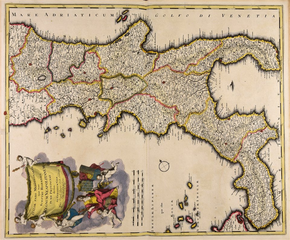
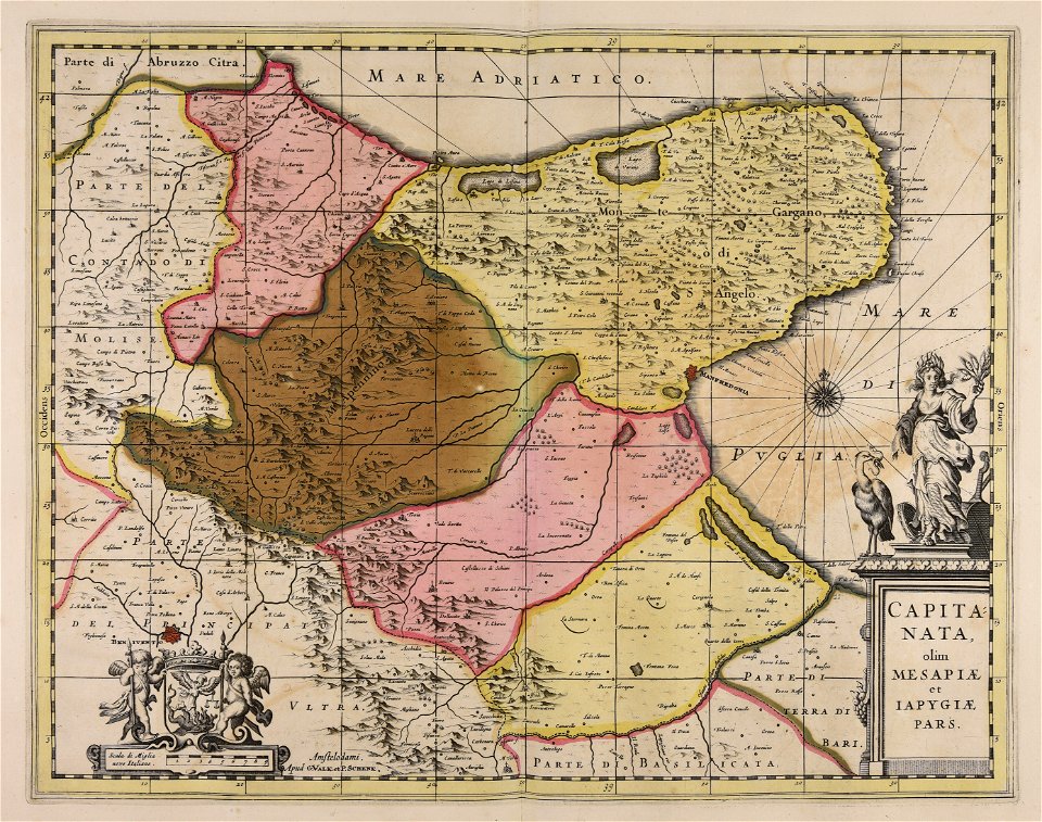
basilicata
atlantis magni tomus secundus (biblioteca comunale di trento)
maps made in the 17th century
maps made in the 17th century
jan janssonius
atlantis magni tomus quintus (biblioteca comunale di trento)
topographic maps made in 18th century
engravings of elephants
toomai of the elephants
maps made in the 17th century
gerard valck
atlantis magni tomus tertius (biblioteca comunale di trento)
maps made in the 17th century
maps made in the 17th century
cornelis danckerts (i)
lot flees as sodom burns
sodom and gomorrah
atlantis magni tomus quintus (biblioteca comunale di trento)
topographic maps made in 18th century
johann baptist homann
creta
maps made in the 18th century
gerard valck
maps made in the 17th century
belgio
maps made in the 17th century
jan janssonius
old maps of silesia
gerard valck
maps made in the 17th century
cornelis danckerts (ii)
maps made in the 17th century
nicolaes visscher ii
maps made in the 17th century
cornelis danckerts (ii)
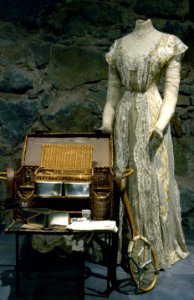
getting dressed in art
1877 paintings
2201 - 2300 of 19,071
Next page
/ 191