Log in
All resources
Create a design
Tools
357,549 Free Images of Map
maps
countries
border
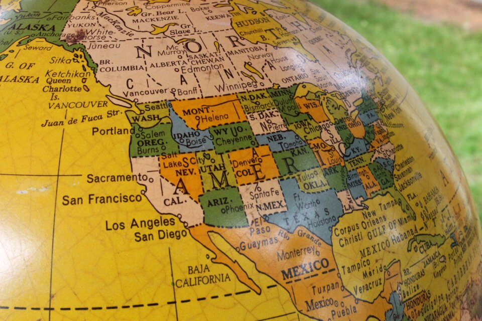
united states of america
land borders
flag
maps in skokloster castle
cc-zero
world map
world
artworks with known accession number
artworks without wikidata item
artworks with known accession number
artworks without wikidata item
atlas van der hagen
brigittenau
maps made in the 18th century
johann baptist homann
topographical paintings in the amsterdam museum
paintings of amsterdam
background
maps
background
maps
background
symbol
maps
mail
water
maps
heart
maps
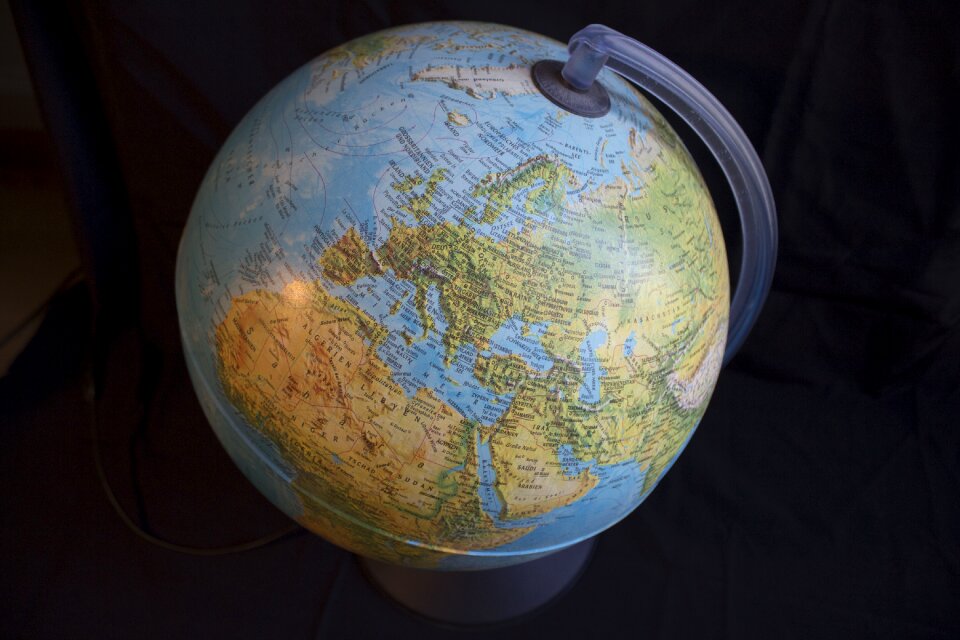
planet
earth
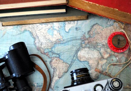
travel
maps
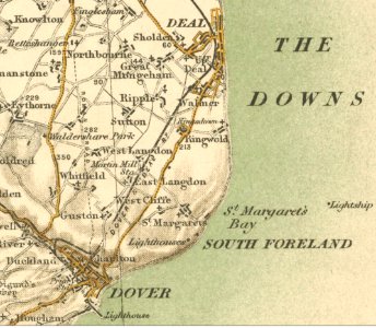
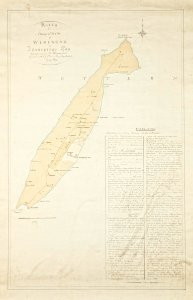
sutton
kent
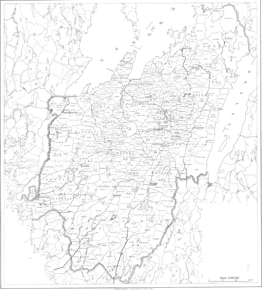
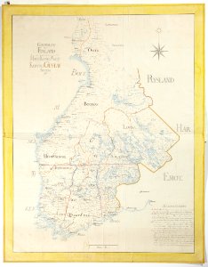
maps of civil parishes of västergötland
old maps of västergötland
maps
luck
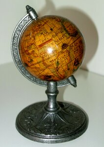
world map
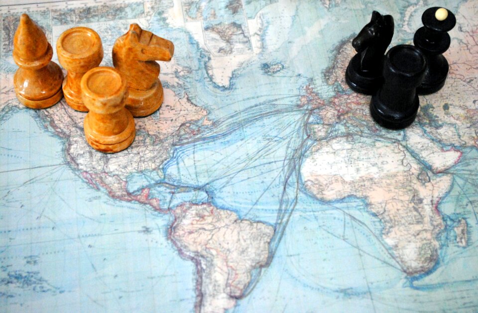
chess
globe
maps
maps
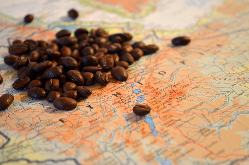
food
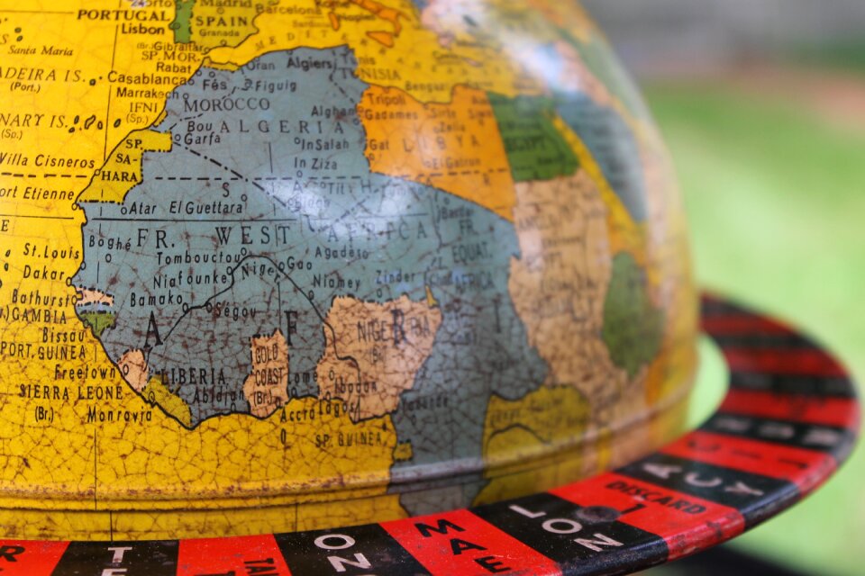
africa
maps
flower
maps
camera
book
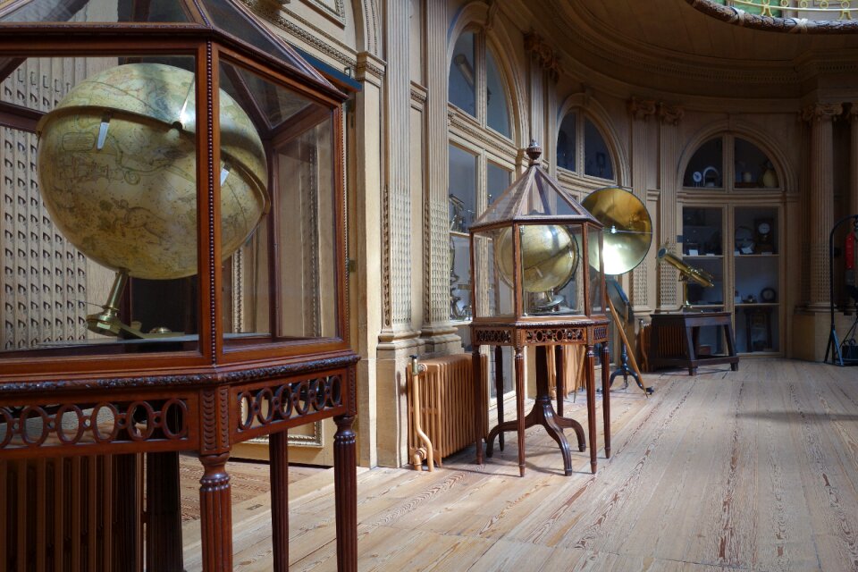
science
museum
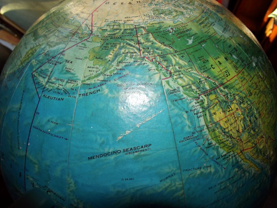
earth
maps
flower
maps
world map
earth
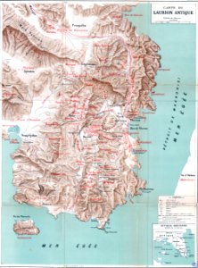
mining in greece
maps of laurium
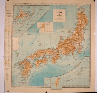
20th-century maps of japan
things japanese
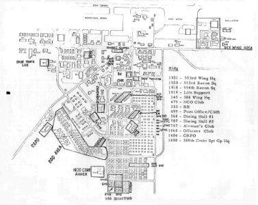
maps of korat royal thai air force base
maps by philippe vandermaelen
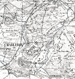
old maps of charleroi
maps
flag
maps
flag
maps
flag
maps
flag
maps
flag
maps
flag
maps
flag
maps
flag
countries
maps
bird
maps
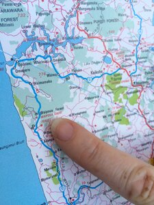
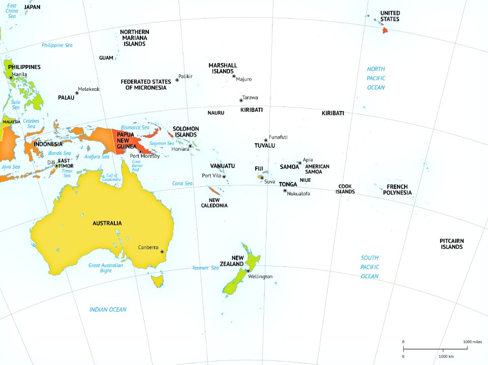
new zealand
maps
maps
flag
maps
flag
maps
flag
maps
flag
background
maps
travel
maps
maps
flag
business
maps
maps
flag
symbol
maps
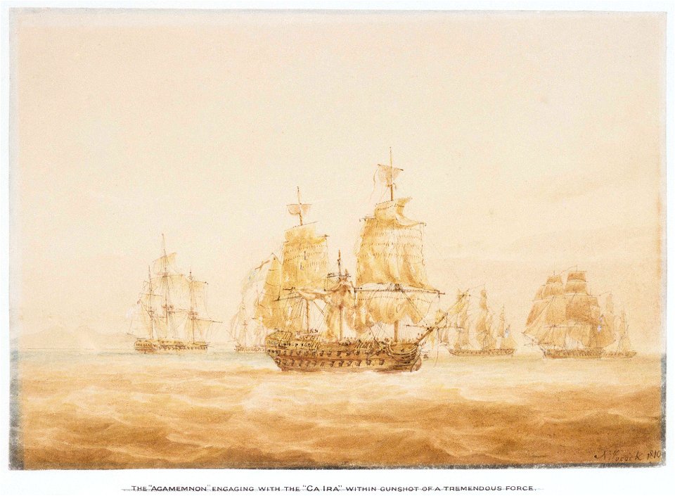
historical images of île de ré
siege of la rochelle
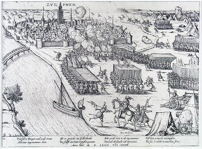
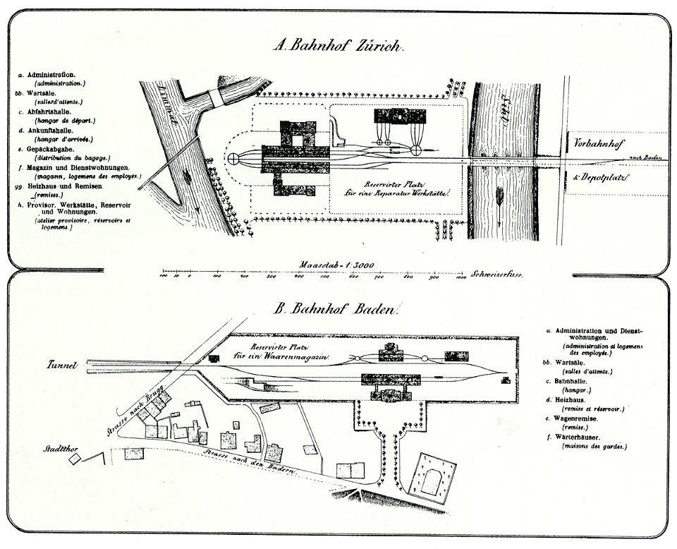
zutphen
ijssel
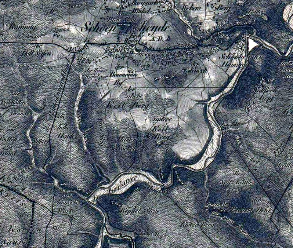
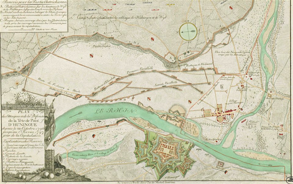
section schwarzenberg (1843)
oberreit
printing
1781
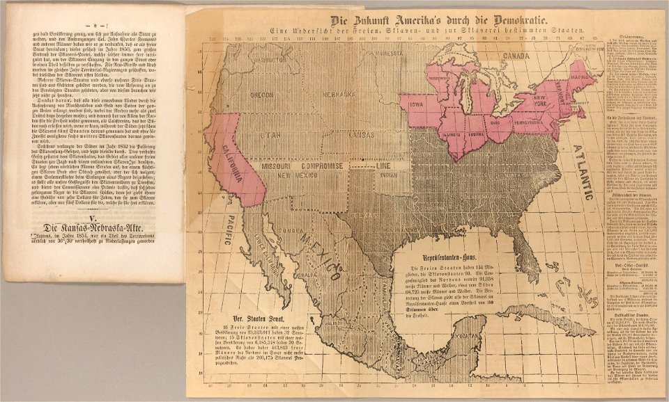
cornell: persuasive cartography: the pj mode collection
ethel franklin betts
images from metropolitan museum of art (paris project)
gabriel thouin
maps in skokloster castle
erik lernestål
maps made in the 18th century
18th-century maps of brazil
self-published work
with insignia
miniature speed atlas (1627) pieter van den keere
pieter van der keere
self-published work
extracted images
maps made in the 18th century
maps by nicolas sanson
maps of national forests of the united states
trail map
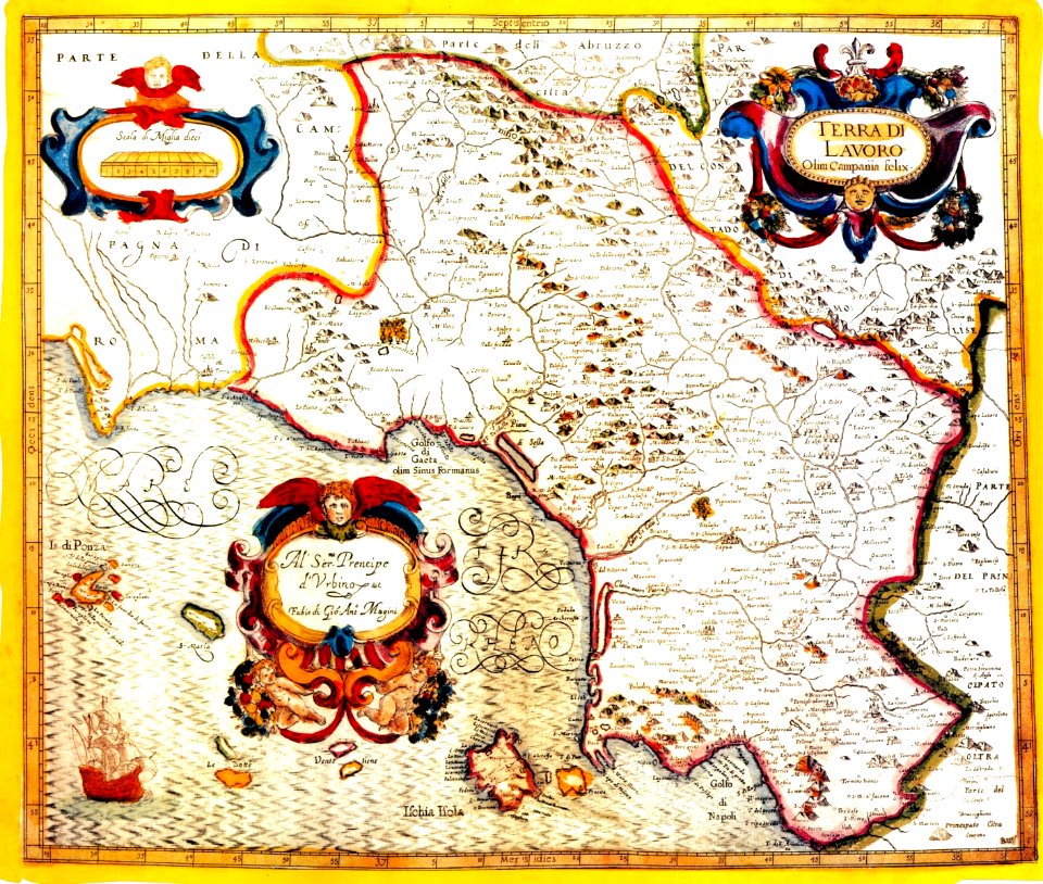
old maps of terra di lavoro
1620 maps of lazio
old maps of peru
1750 maps
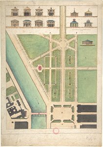
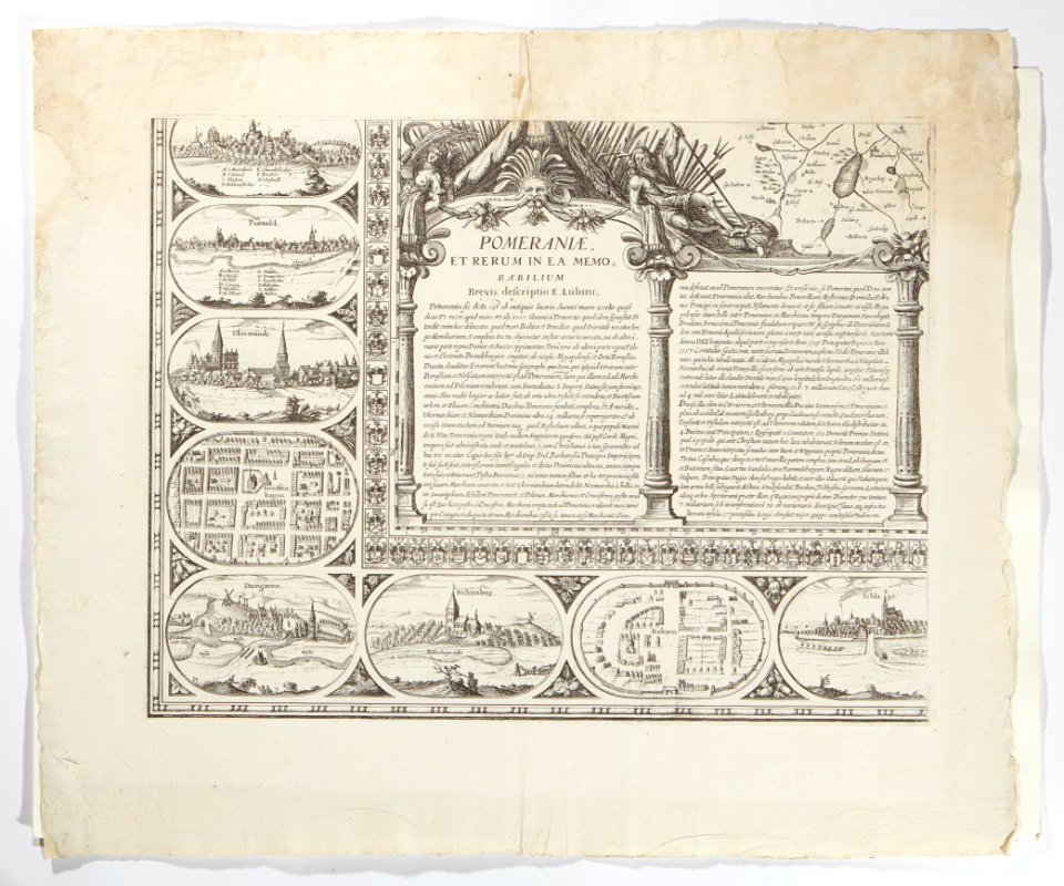
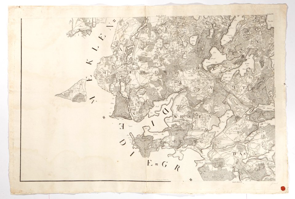
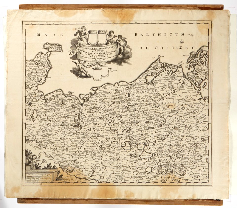
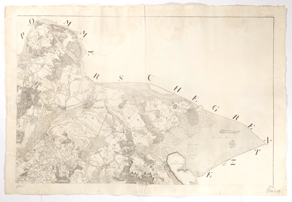
1780s maps of mecklenburg-vorpommern
maps in skokloster castle
maps in skokloster castle
maps by frederick de wit
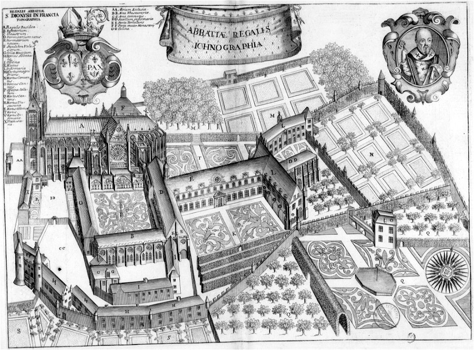
maps of saint-denis (seine-saint-denis)
17th-century works in france
aa en hunze
inundation
historical images of île de ré
siege of la rochelle
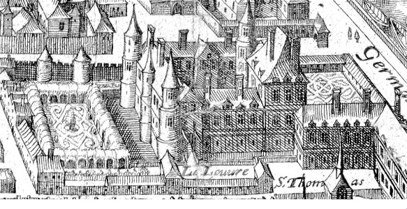
palais du louvre in the 1610s
louvre palace
cornell university library
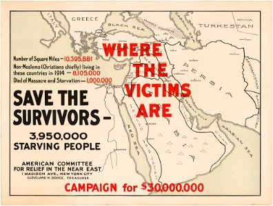
abolitionism
collections de la bibliothèque nationale et universitaire de strasbourg
christian von mechel
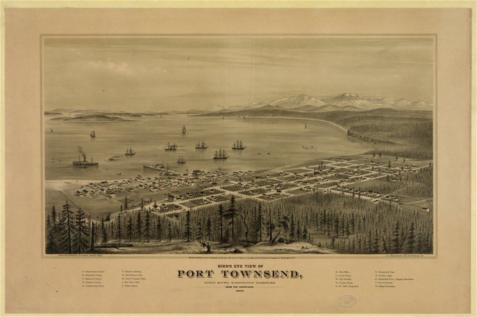
port townsend
washington
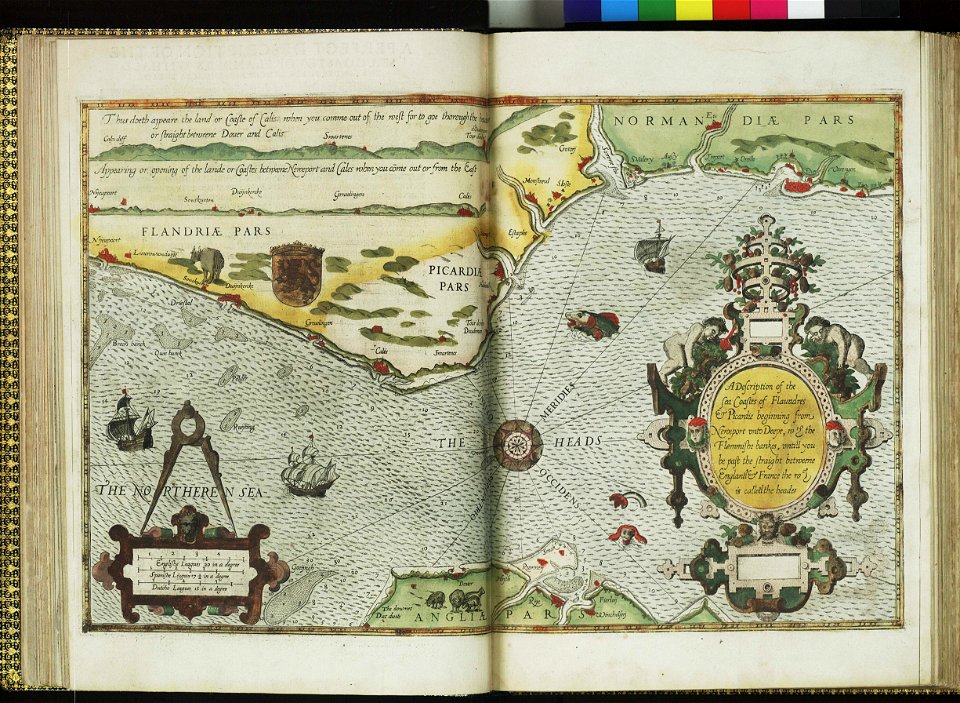
charts and maps of the royal museums greenwich
lucas janszoon waghenaer
artworks with known accession number
artworks without wikidata item
historical images of st. gallen
heinrich vogtherr (i)
printing
1772
prints in the museum boijmans van beuningen
frans hogenberg
heterosexual sex in black and white art
maps of africa in art
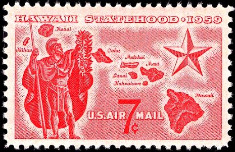
airmail stamps of the united states
red stamp
people
maps
travel
maps
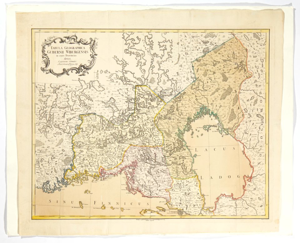
old maps of armenia
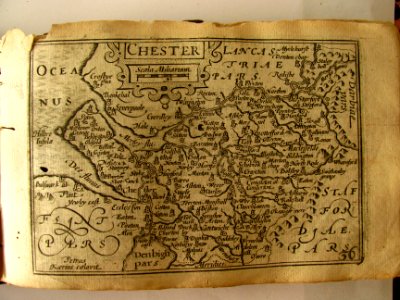
robert morden
maps in skokloster castle
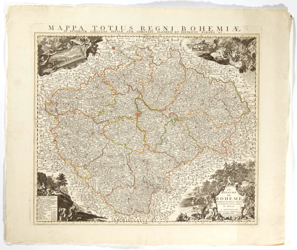
old maps of bohemia
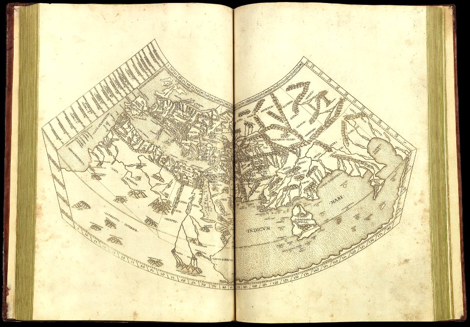
latin-language maps
1490 maps
travel
maps
self-published work
cc-zero
maps in skokloster castle
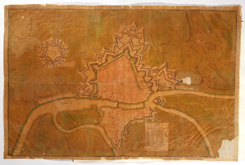
old maps of szczecin
maps in skokloster castle
1780 maps
maps made in the 18th century
maps in skokloster castle
maps in skokloster castle
visingsö
self-published work
pages with maps
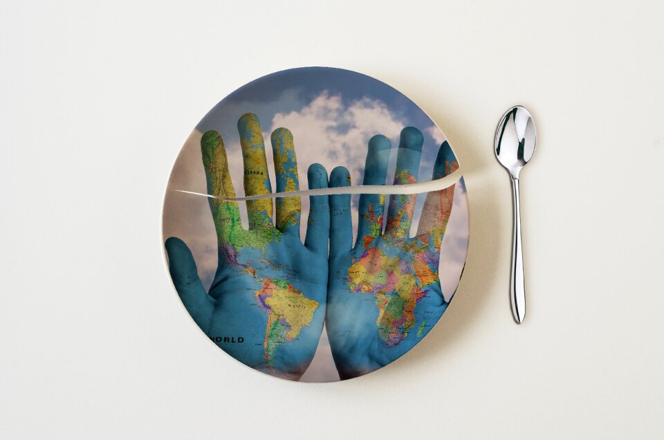
kitchen
hands
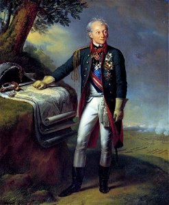
19th-century oil portraits of standing men at full length in military uniforms
1815 portrait paintings of men
ferdinand stadler
1847
background
maps
18th-century maps of sweden
maps in skokloster castle
maps with cartouches
atlas van der hagen
15601 - 15700 of 357,549
Next page
/ 3576