Log in
All resources
Create a design
42 Free Photos of 1780 Maps
history
historical
cc-zero
cc-pd-mark
pd-old-100-expired
items with otrs permission confirmed
p6305 sdc
gwtoolset batch upload
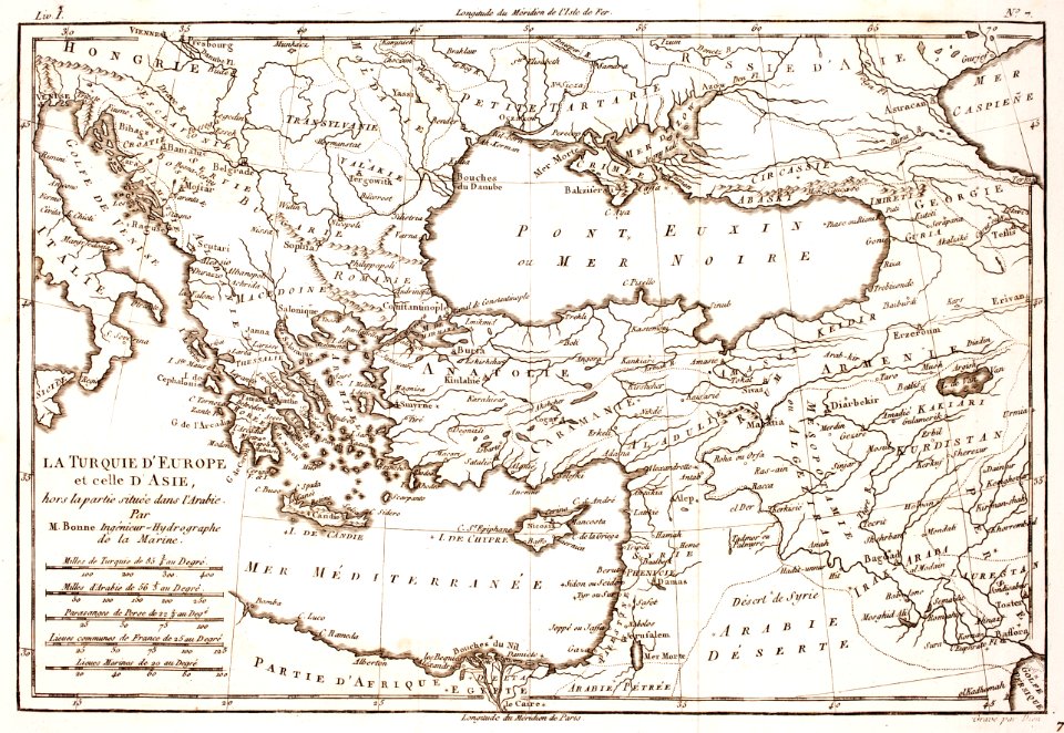
prints from bonne atlas de toutes les parties at the peace palace library
pd-art (pd-old-100-expired)
maps in skokloster castle
1780 maps
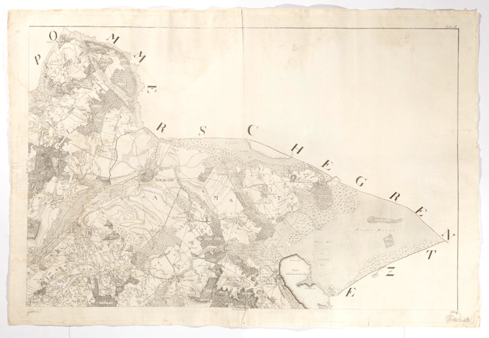
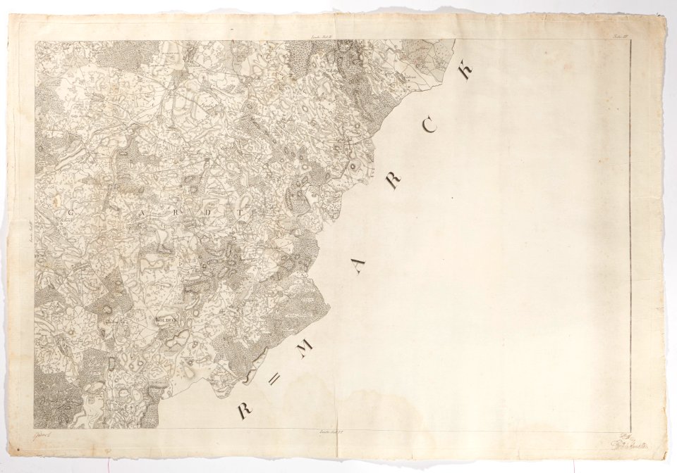
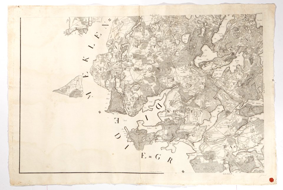
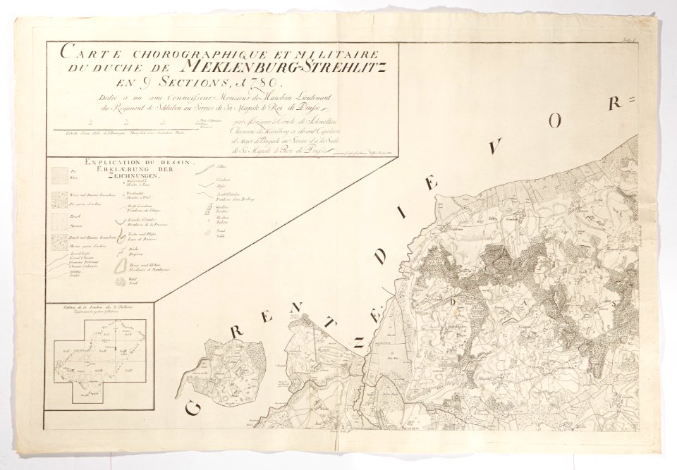
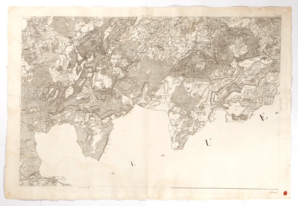
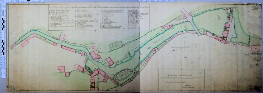
1780s maps of mecklenburg-vorpommern
maps in skokloster castle
1780 maps of mecklenburg-vorpommern
maps in skokloster castle
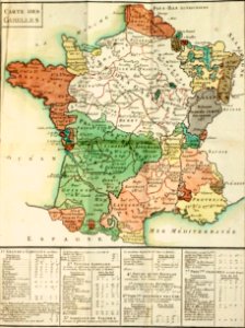
salt production in france
jacques necker
1780s maps of mecklenburg-vorpommern
maps in skokloster castle
old maps of the holy roman empire
maps in skokloster castle
old maps of the holy roman empire
maps in skokloster castle
2010 new jersey photos by jim.henderson
pages with maps
maps made in the 18th century
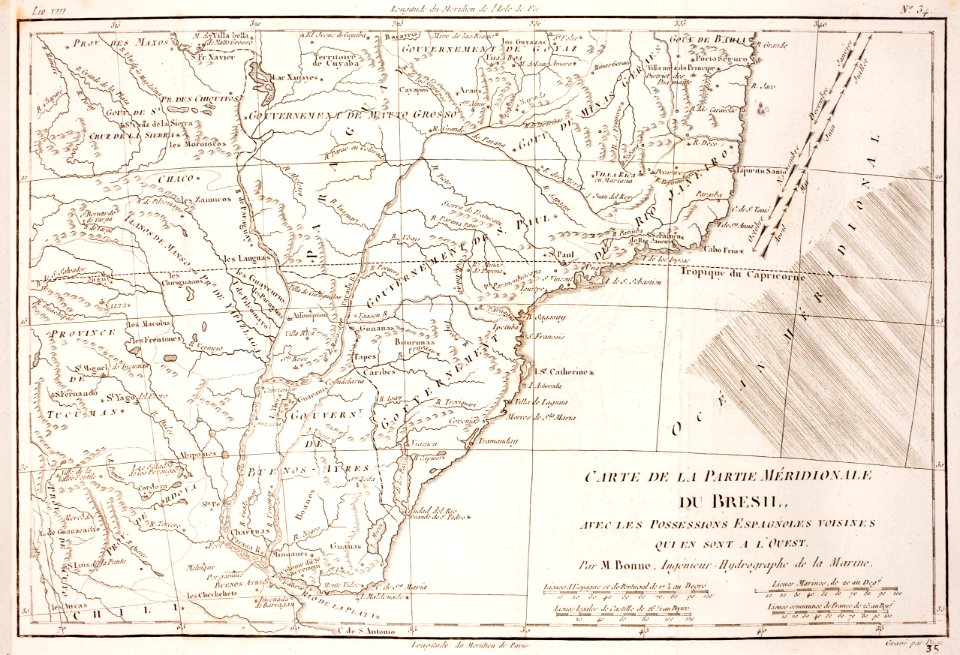
18th-century maps of brazil
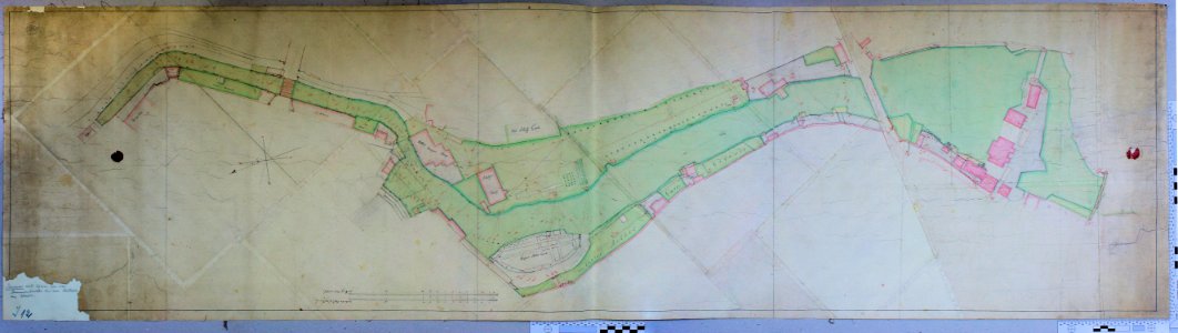
skillshare 2010 stadtarchiv
stadtarchiv lüneburg
skillshare 2010 stadtarchiv
stadtarchiv lüneburg
self-published work
traffic
historical
history
historical
history
historical
history
historical
history
historical
history
historical
history
historical
history
historical
history
historical
history
historical
history
historical
history
historical
history
historical
history
historical
history
historical
history
historical
history
historical
history
historical
history
historical
history
historical
history
historical
history
historical
history
historical
history
historical
history
historical
history
historical
history
historical
history
historical
history
historical
history
historical
history
1 - 42 of 42
/ 1