Log in
All resources
Create a design
Tools
357,549 Free Images of Map
charts and maps of the royal museums greenwich
1682 maps
description de l'universe
maps in the library of congress
maps
maps made in the 17th century
maps in the british museum
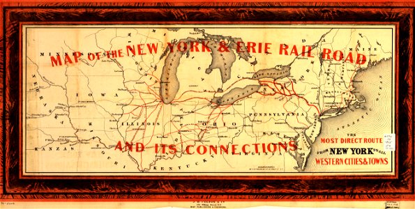
new york
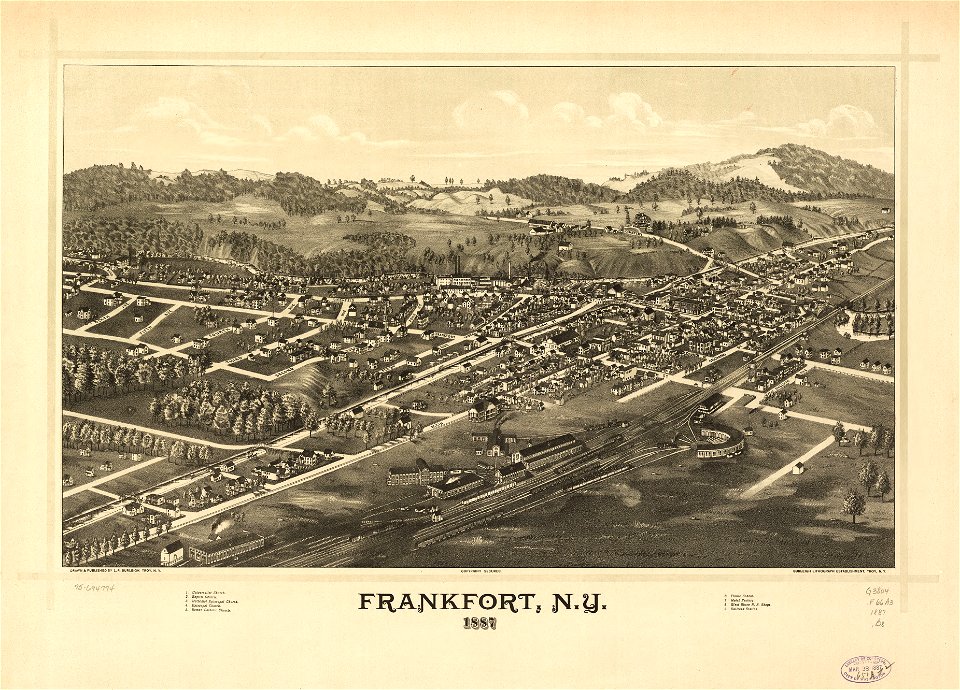
town maps by l. r. burleigh
l. r. burleigh
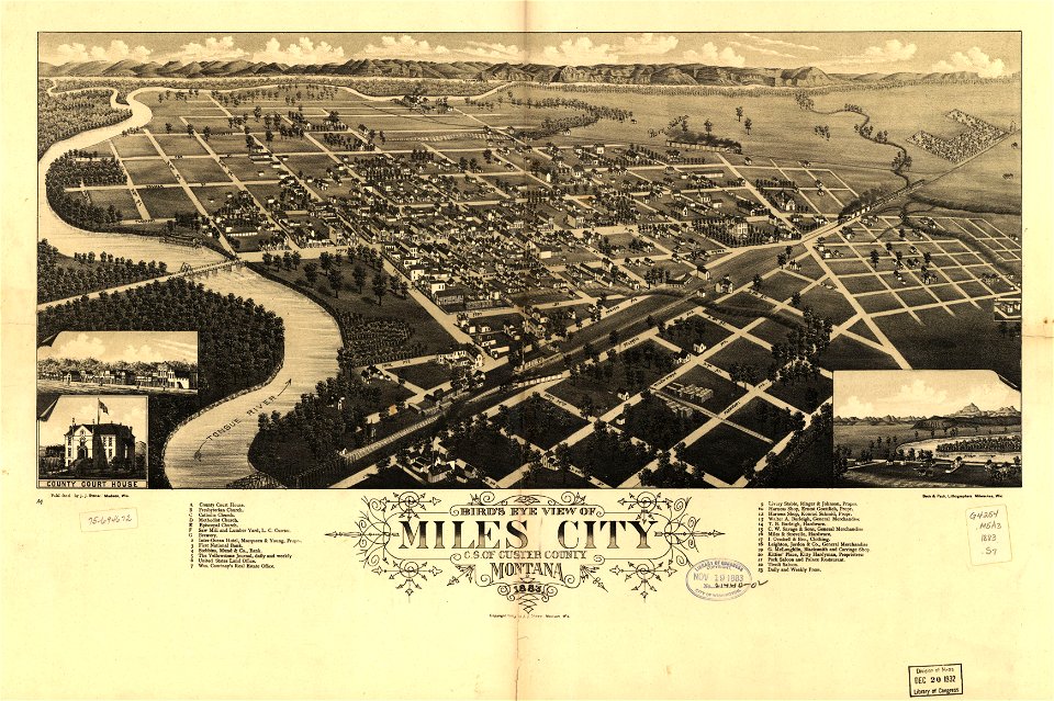
miles city
montana
travel
maps
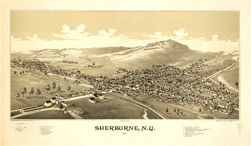
sherburne
new york
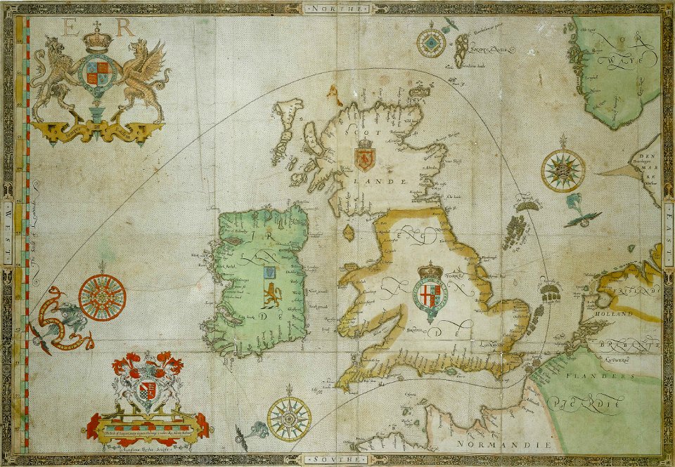
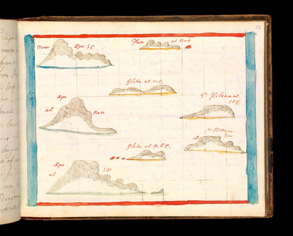
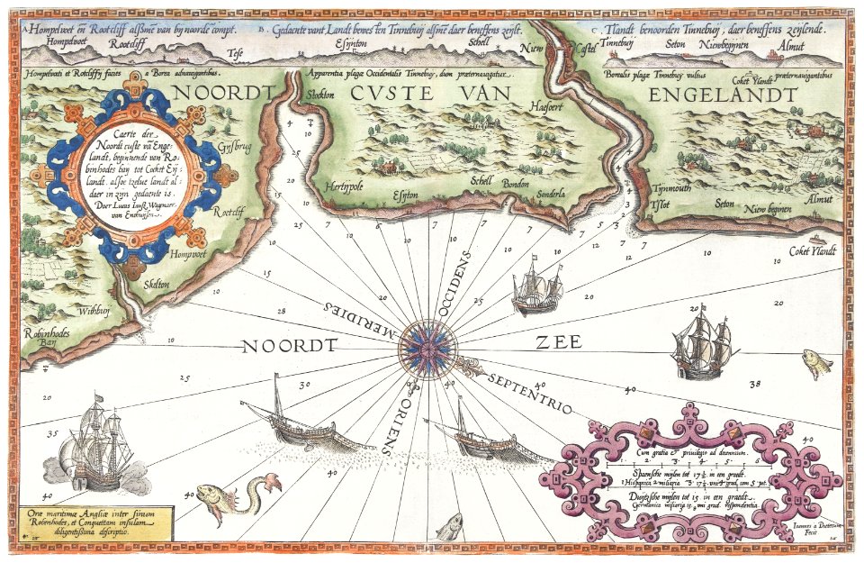
the track of the armada around britain and ireland
charts and maps of the royal museums greenwich
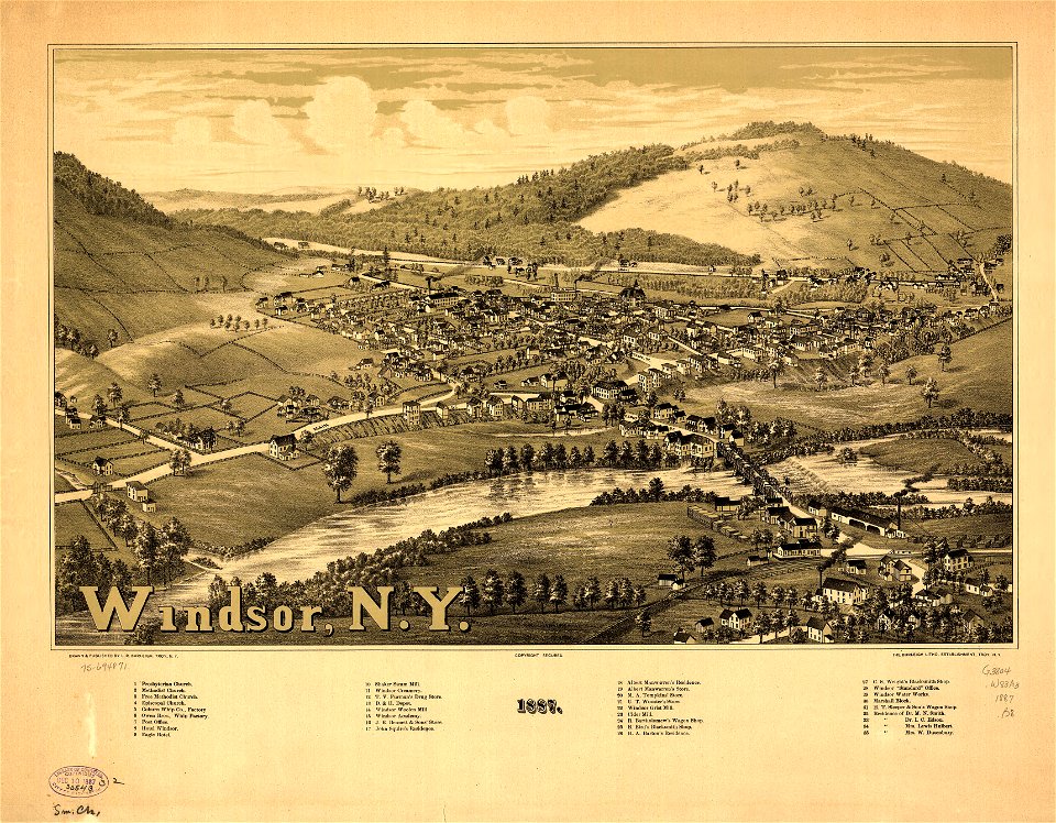
new york
windsor
charts and maps of the royal museums greenwich
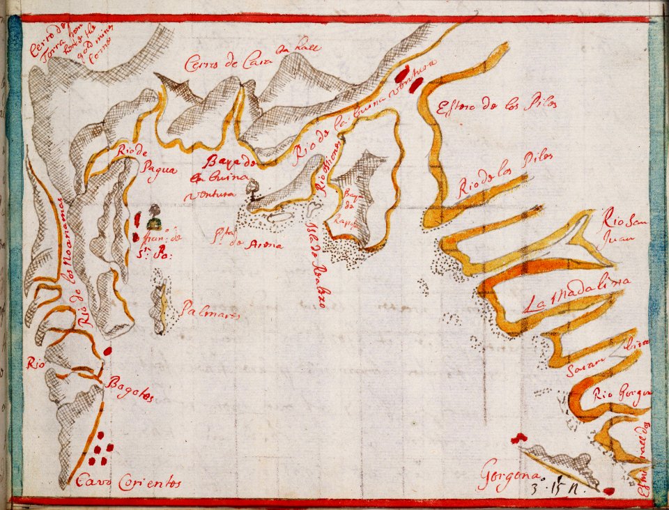
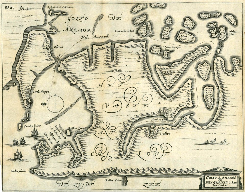
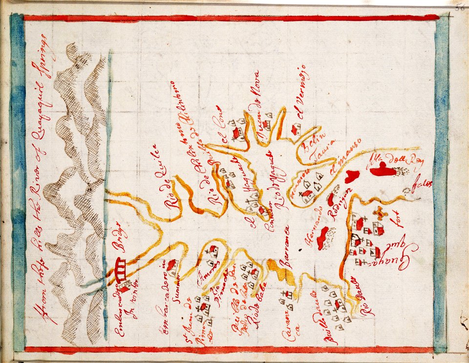
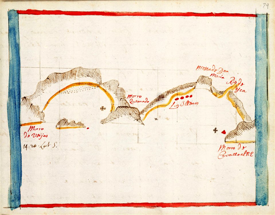
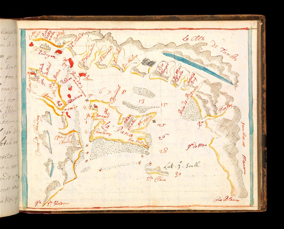
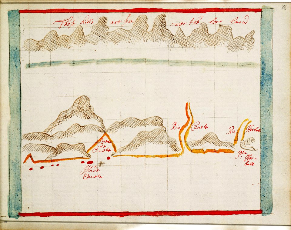
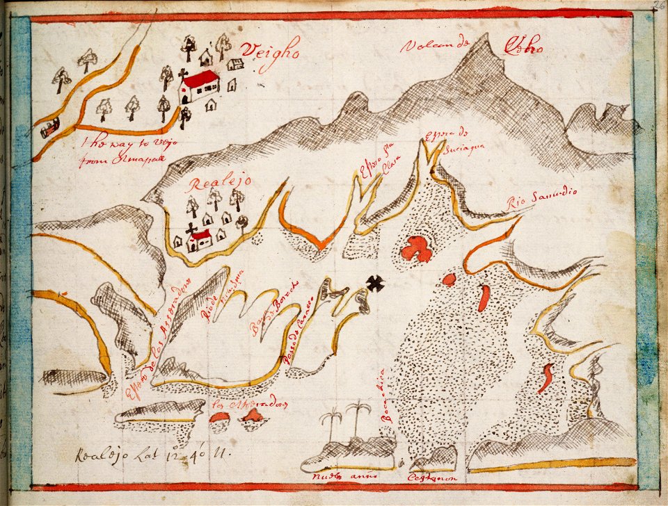
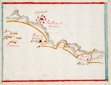
old maps of ecuador
maps by frederick de wit
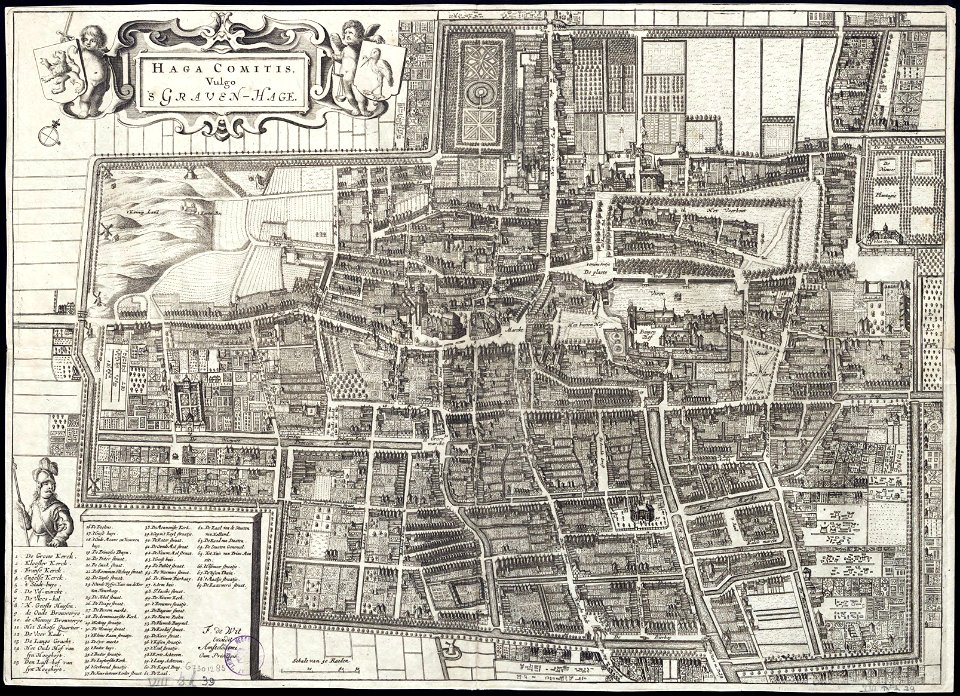
old maps of the hague
maps made in the 17th century
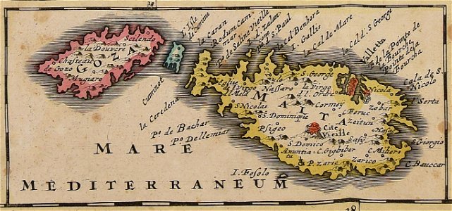
old maps of malta
1760s etchings
1760 maps
maps in the library of congress
new york
maps
flag
spain
maps
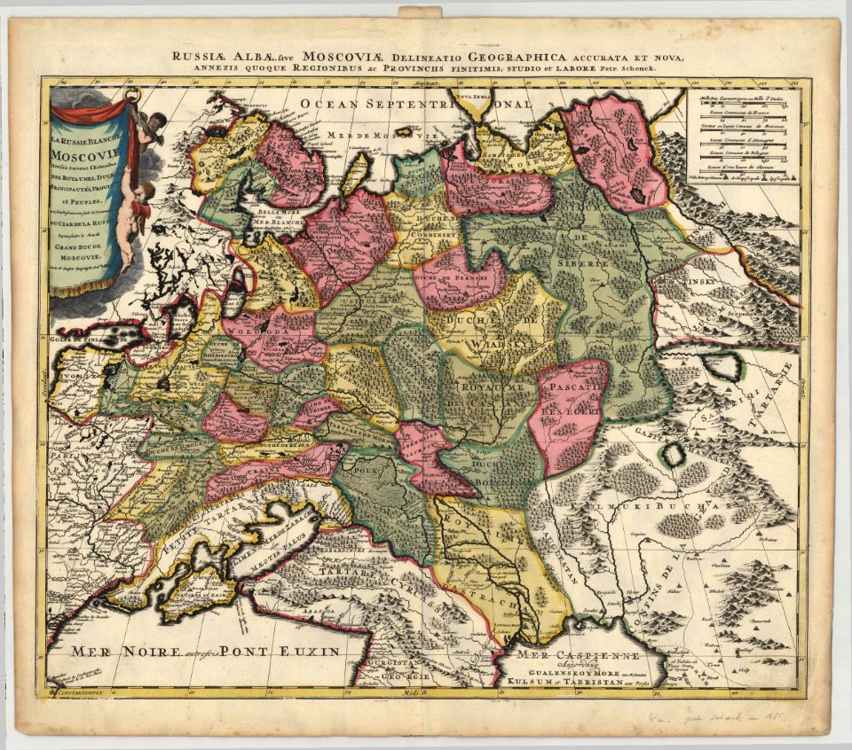
maps by pieter schenk (i)
1685 maps of russia
charts and maps of the royal museums greenwich
1682 maps
old maps of the dutch east india company
maps of the west-indische compagnie
1646
maps of the west-indische compagnie
1746
maps of the west-indische compagnie
1747)
maps in the library of congress
1680 maps
charts and maps of the royal museums greenwich
1682 maps
18th-century maps of india
old maps of tibet
maps by sebastian münster
ptolemy's 1st asian map
1909 maps of north america
old maps of north america
description de l'universe
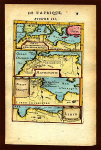
1719 maps of africa
charts and maps of the royal museums greenwich
1682 maps
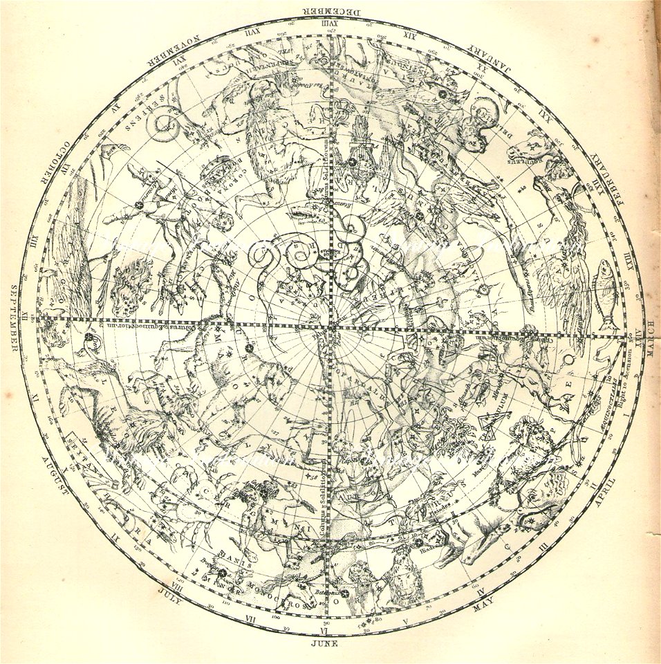
old celestial maps
charts and maps of the royal museums greenwich
1682 maps
charts and maps of the royal museums greenwich
1682 maps
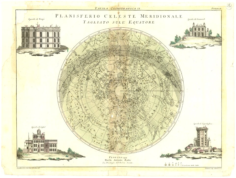
maps by antonio zatta
old celestial maps
maps with stab-werner projection
petrus apianus
maps in the british museum
maps in the british museum
maps in the british museum
maps in the british museum
maps in the british museum
maps in the british museum
maps in the british museum
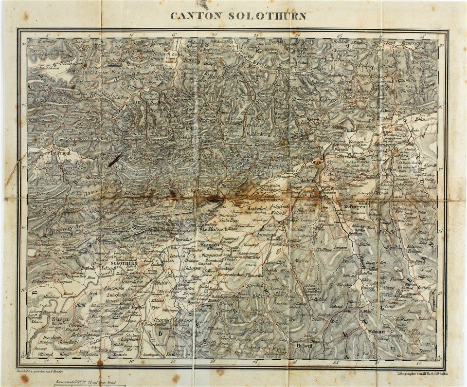
maps of the canton of solothurn
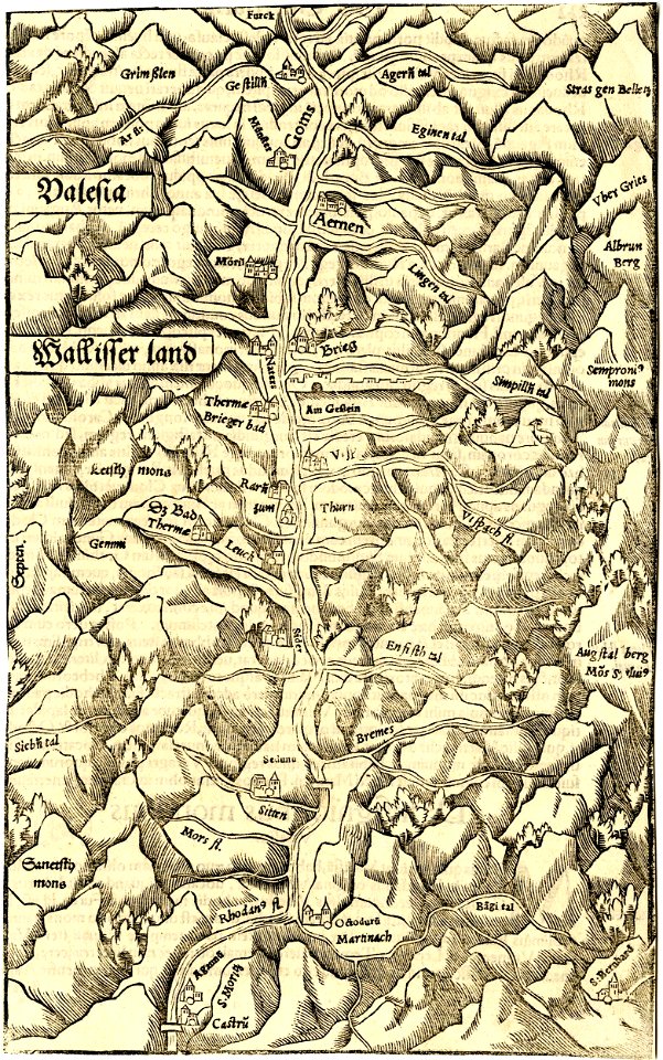
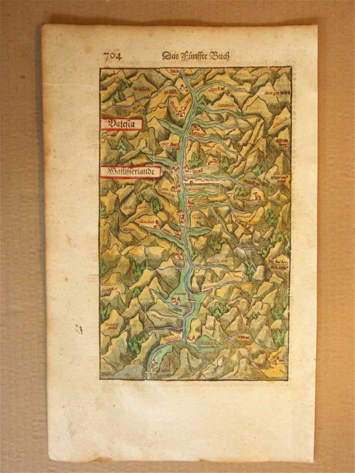
old maps of switzerland
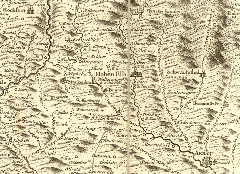
details of müller's map of bohemia
history of vrchlabí
charts and maps of the royal museums greenwich
1682 maps
charts and maps of the royal museums greenwich
1682 maps
charts and maps of the royal museums greenwich
1682 maps
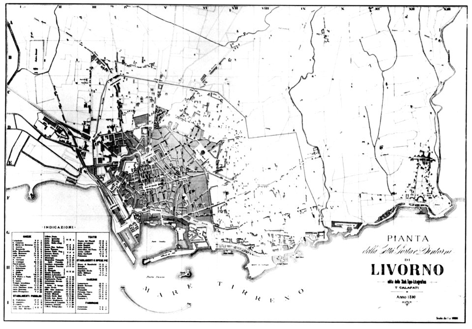
old maps of livorno
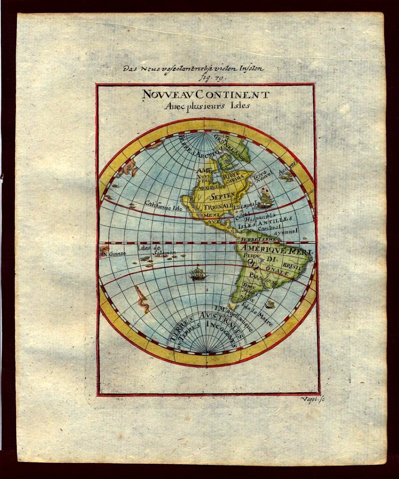
description de l'universe
1710s maps of the world
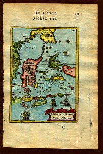
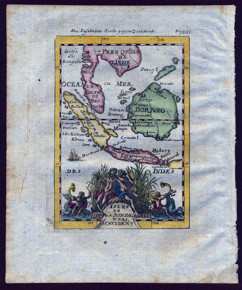
old maps of southeast asia
description de l'universe
description de l'universe
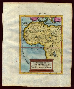
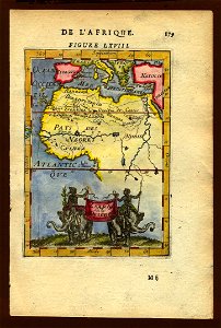
old maps of africa
description de l'universe
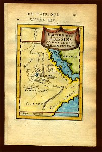
1683 maps of ethiopia
description de l'universe
old maps of china
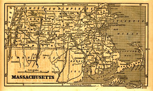
1855 maps of massachusetts
old maps of southeast asia
description de l'universe
description de l'universe
old maps of saudi arabia
17th-century maps of india
description de l'universe
old maps of southeast asia
description de l'universe
illustrations of cosmographia (münster)
1580s maps of egypt
old maps of southeast asia
description de l'universe
maps in the library of congress
1993 maps
maps by jacob van deventer
old maps of harderwijk
maps made in the 18th century
1793
charts and maps of the royal museums greenwich
1682 maps
charts and maps of the royal museums greenwich
1682 maps
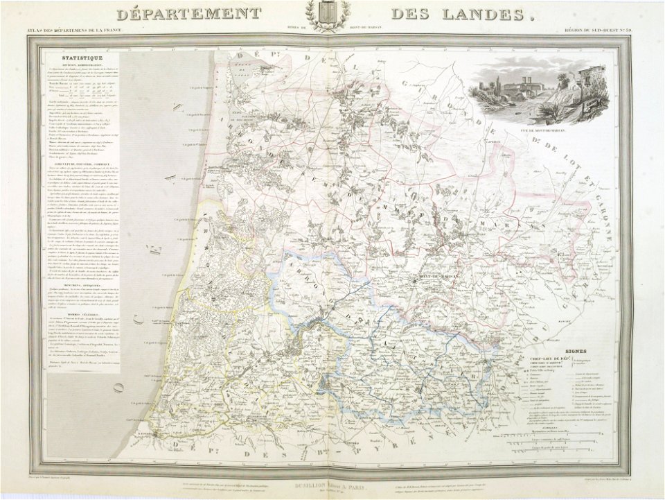
old maps of landes
1841 maps
charts and maps of the royal museums greenwich
1682 maps
charts and maps of the royal museums greenwich
1682 maps
charts and maps of the royal museums greenwich
1682 maps
charts and maps of the royal museums greenwich
1682 maps
description de l'universe
old maps of africa
old maps of southeast asia
description de l'universe
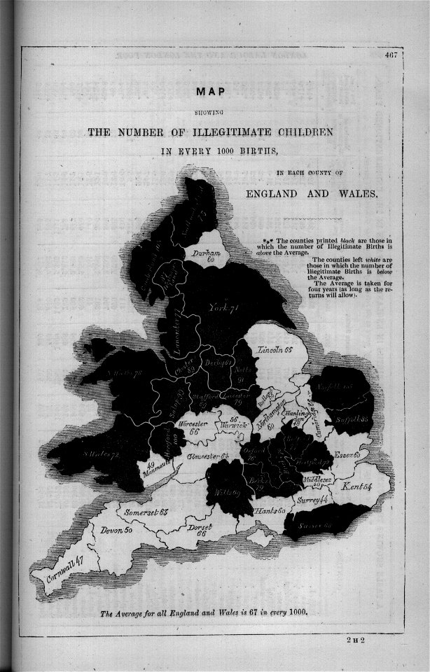
maps in london labour and the london poor (1851)
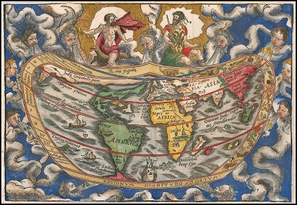
cosmographia (1600) by sebastian münster
old maps of switzerland
old maps of southeast asia
description de l'universe
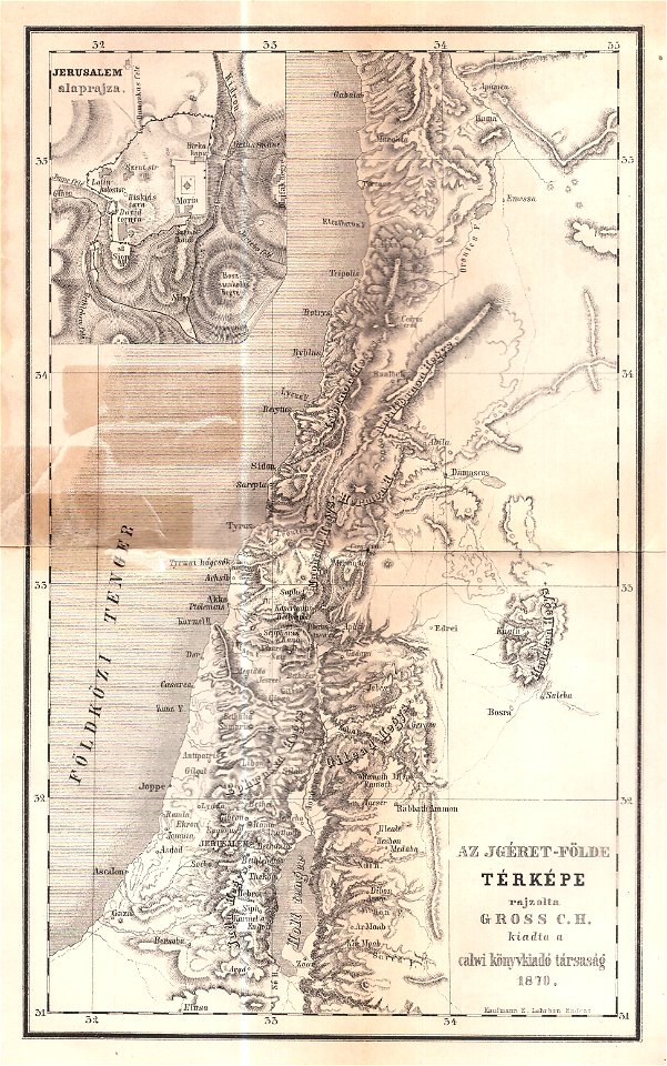
maps of israel
józsef farkas
background
maps
adventure
pirate
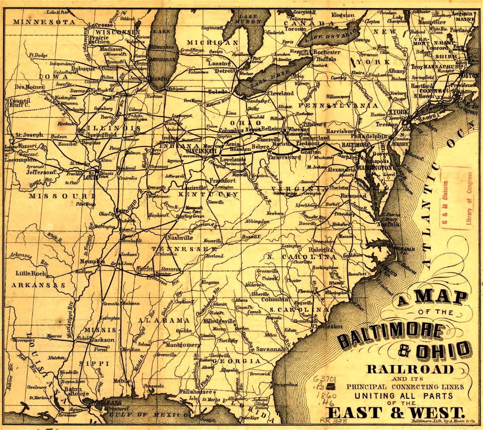
maps in the library of congress
1855 maps
maps made in the 17th century
maps by pieter schenk (i)
maps made in the 17th century
gerard valck
new york
1891 map
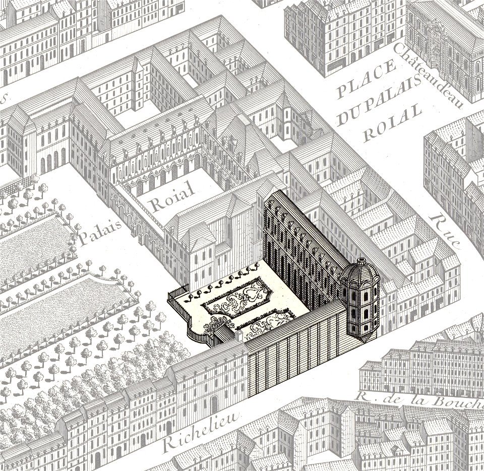
turgot map of paris
palais-royal
maps made in the 17th century
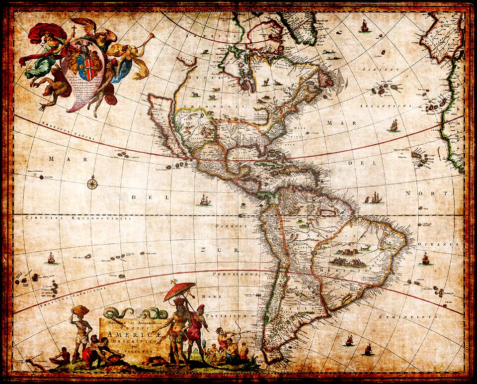
maps by nicolaes visscher i
maps with cartouches
atlas van der hagen
maps in the library of congress
a. hoen & co.
maps in the library of congress
a. hoen & co.
old maps of guangzhou
1745
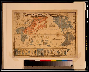
ukiyo-e by unknown artists
1800s maps of the world
the northern hemisphere of the celestial globe by albrecht dürer
old celestial maps
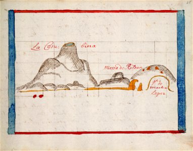
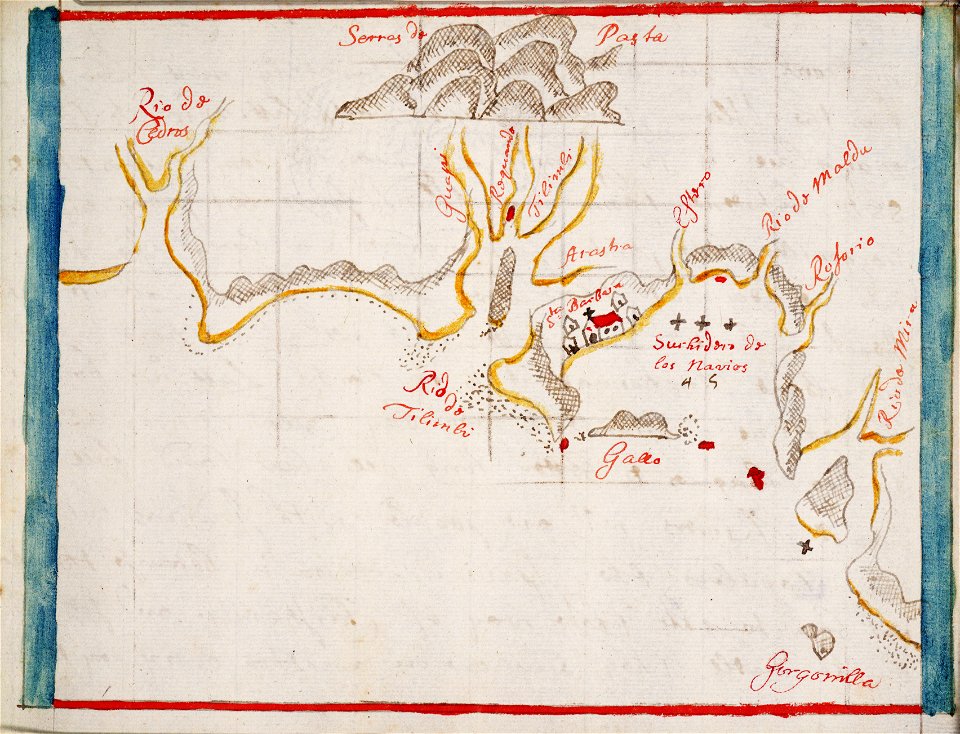
hand-drawn maps and views of world war i battlefields by h.m.
maps of world war i - italian front
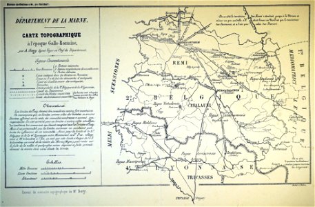
bibliothèque municipale de reims
maps relating to celts
maps in the library of congress
new york
maps made in the 17th century
gerard valck
maps in the library of congress
new york
world map
maps
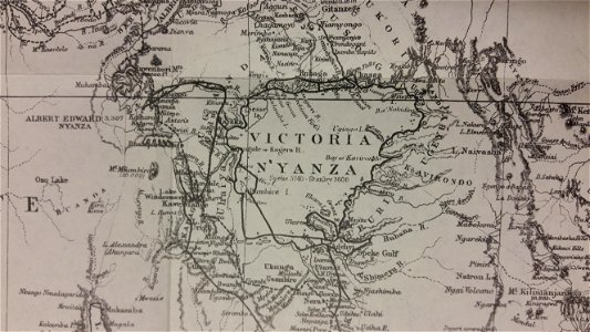
through the dark continent
lake victoria
gerard valck
cina
color engravings
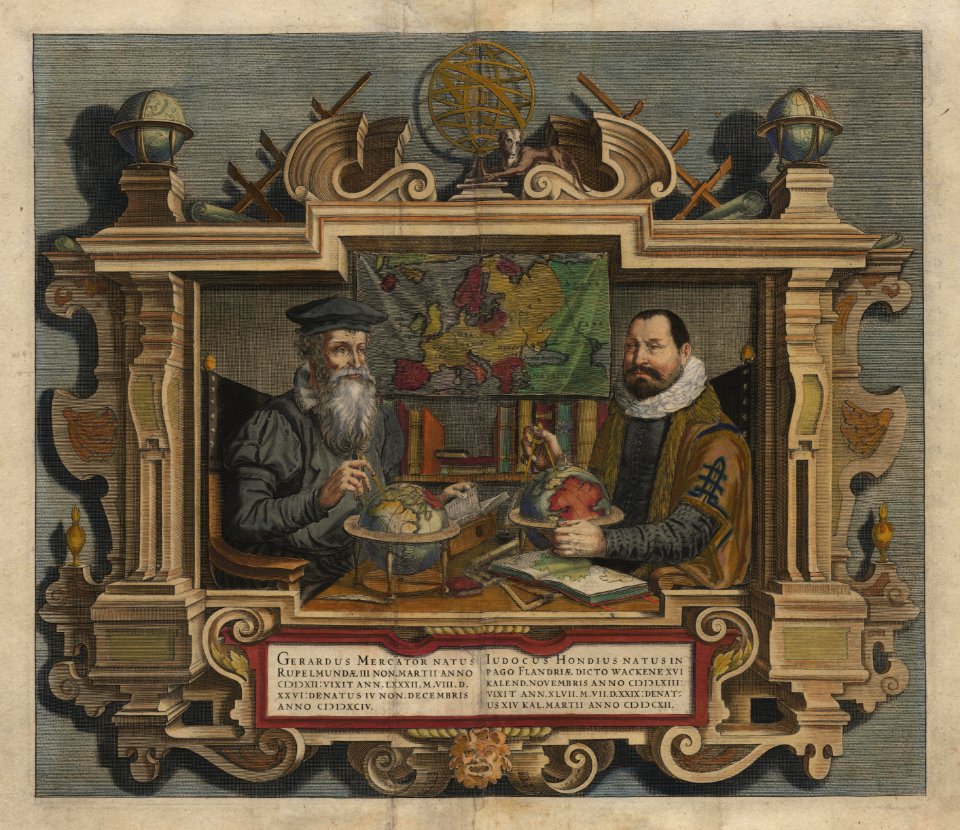
jodocus hondius
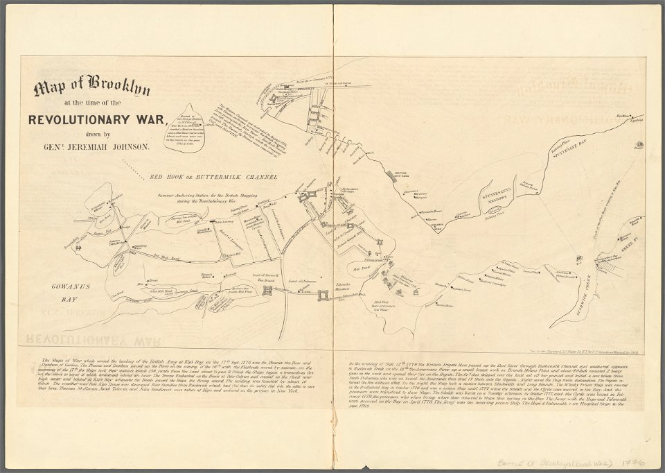
battle of long island
new york city
maps by willem and johannes blaeu
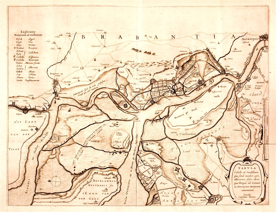
lillo
maps
usa
maps
sign
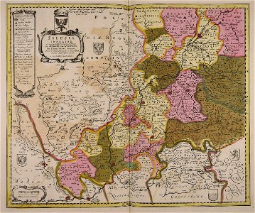
old maps of silesia
gerard valck
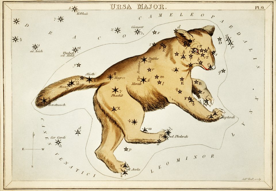
maps
bear
6801 - 6900 of 357,549
Next page
/ 3576