Log in
All resources
Create a design
Tools
357,549 Free Images of Map
maps in the library of congress
albert ruger
maps
california
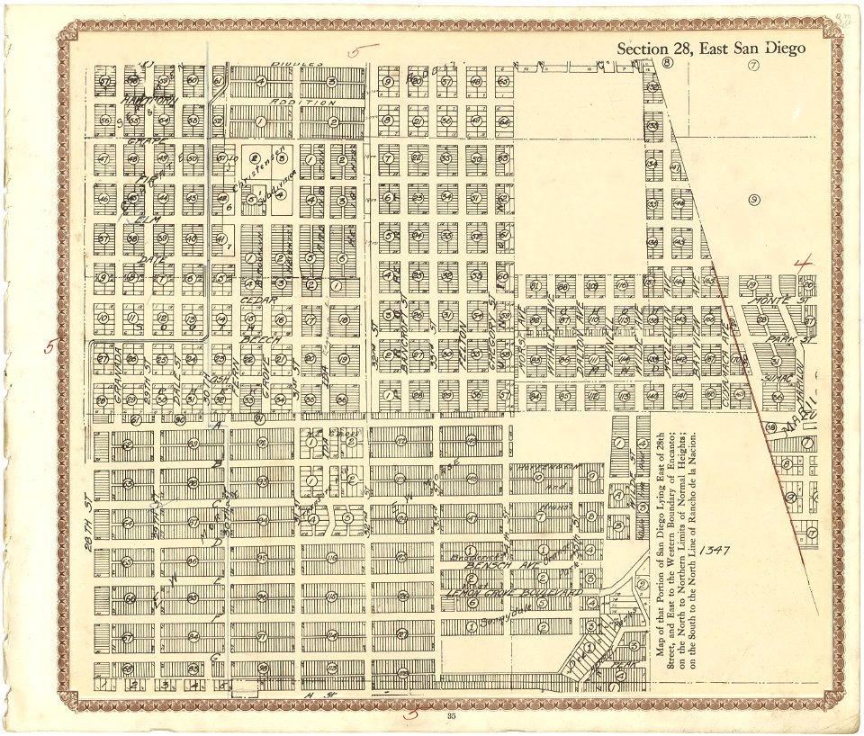
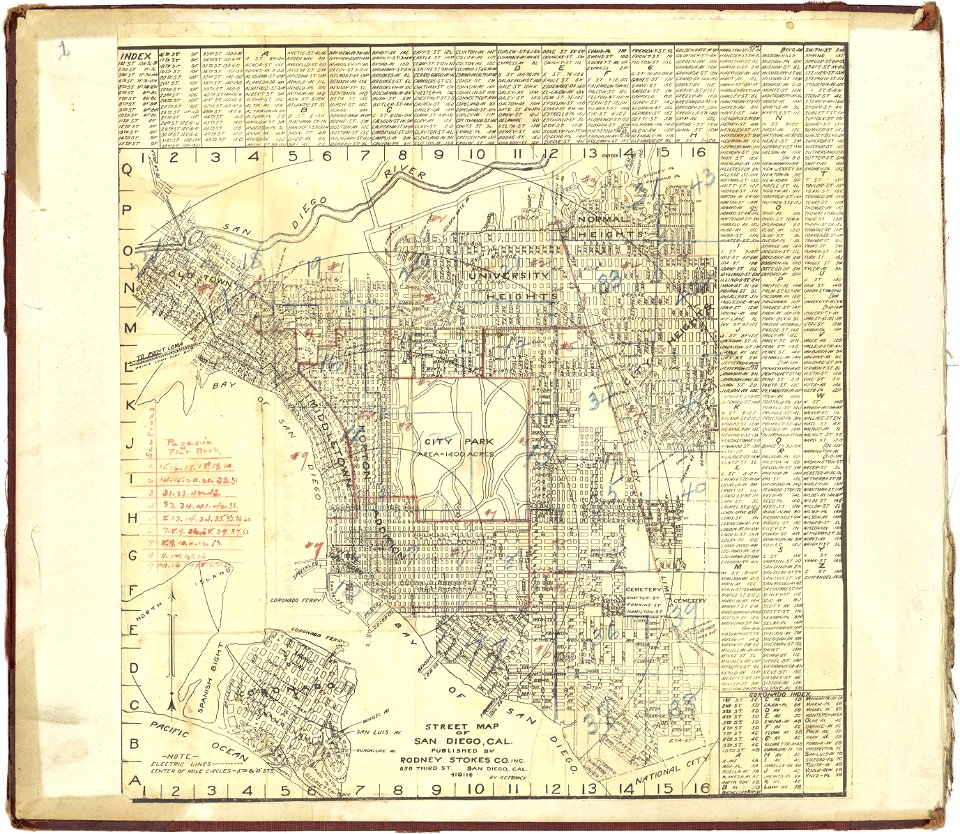
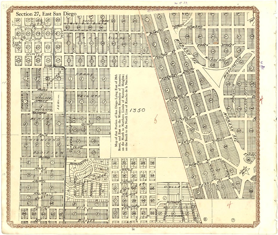
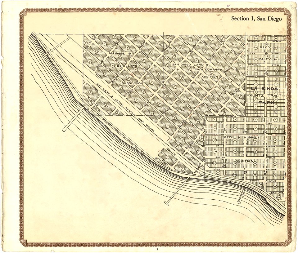
plat book of san diego county
maps of san diego
fonds ancely - bibliothèque municipale de toulouse - maps
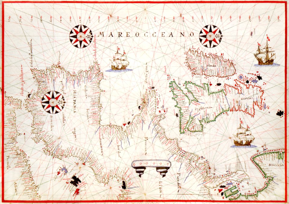
maps made in the 17th century
atlantis magni tomus tertius (biblioteca comunale di trento)
atlas van der hagen
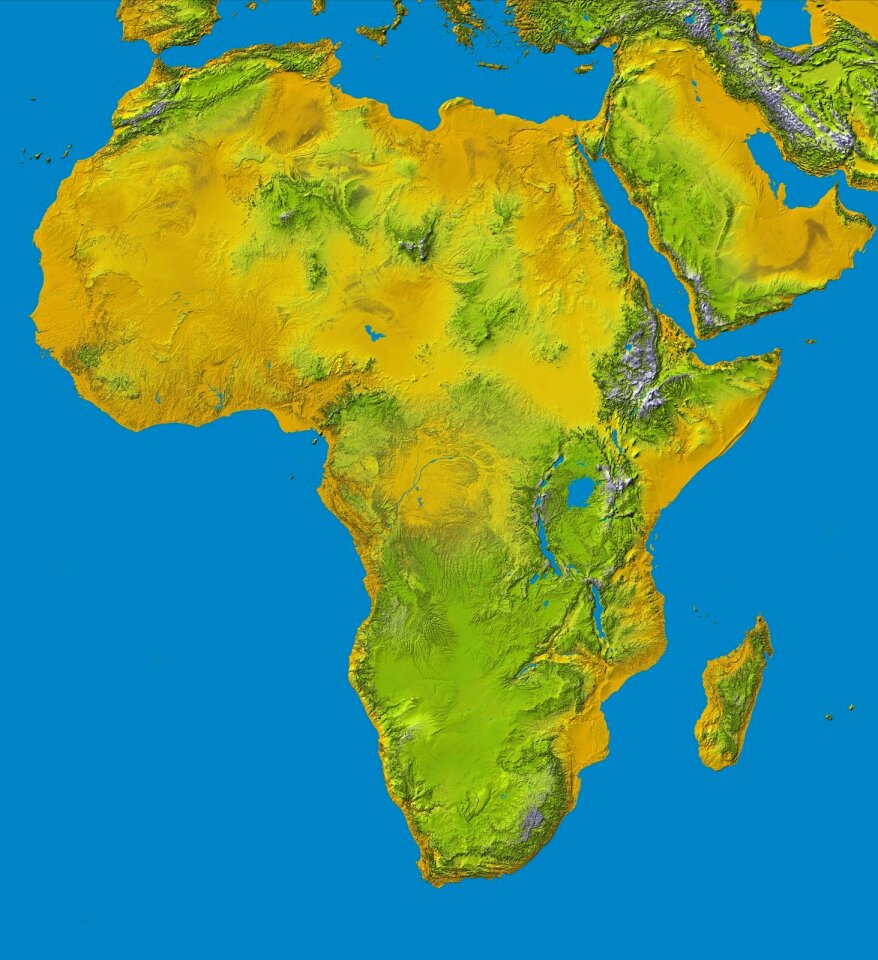
africa
maps
self-published work
south america
vintage
maps
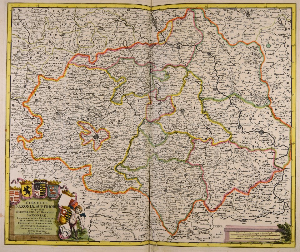
schauplatz der fünf theile der welt
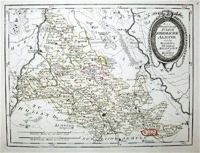
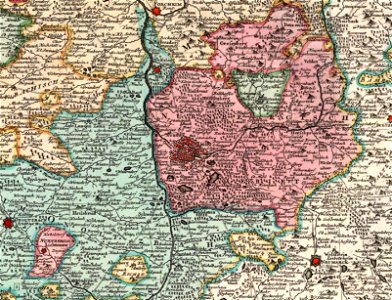
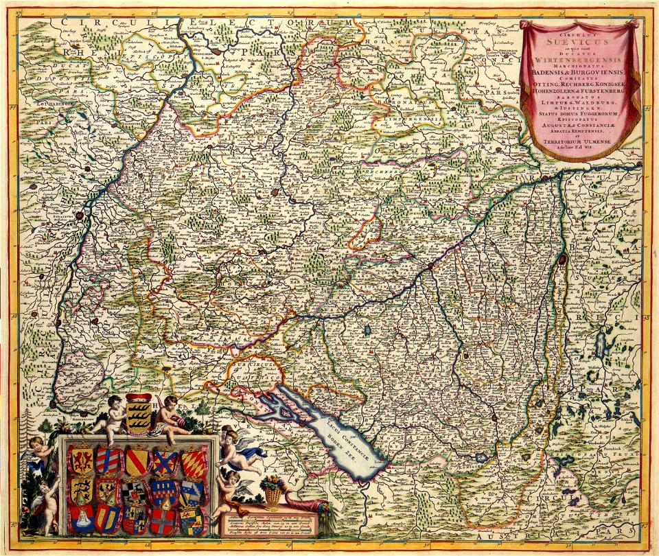
old maps of the duchy of jülich
christmas
happy
atlas van der hagen
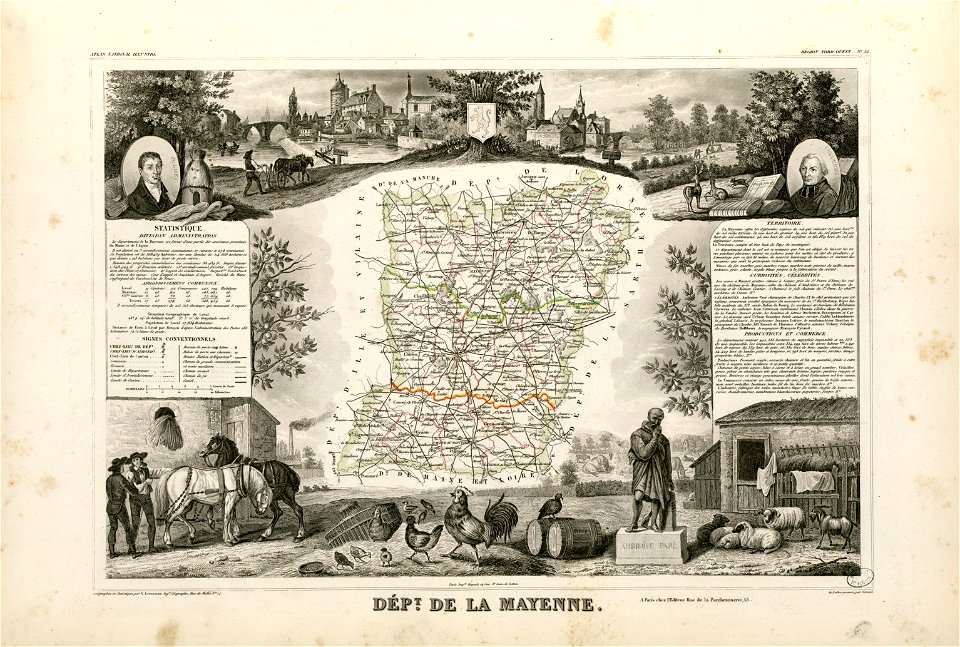
old maps of france
fonds ancely - bibliothèque municipale de toulouse - maps
coats of arms of cities in mayenne
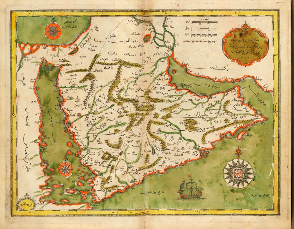
old maps of the middle east
harvard university
earth
maps
maps
usa
svg maps:translation possible
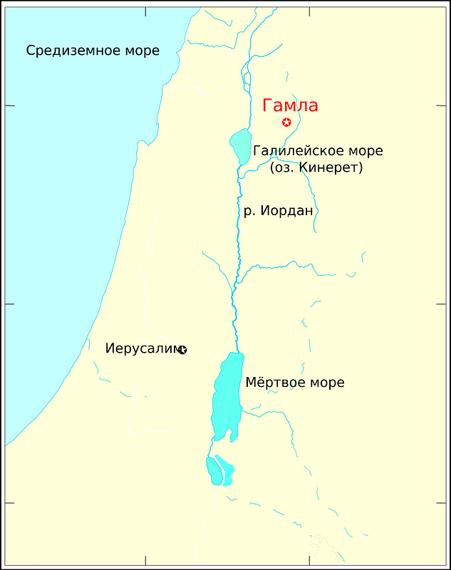
gamla
maps
flag
self-published work
pd-self
symbols for hydrogeological maps
self-published work
symbols for hydrogeological maps
self-published work
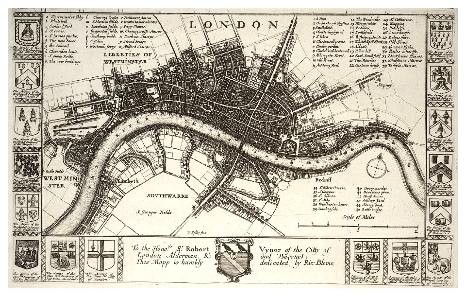
london
maps
fonds ancely - bibliothèque municipale de toulouse - maps
robert batty (artist)
lithographs of paris
floor plans of paris
fonds ancely - bibliothèque municipale de toulouse - maps
frédéric-auguste laguillermie
maps made in the 17th century
nicolaes visscher ii
historical images of solothurn
old maps of switzerland
university of toronto wenceslas hollar digital collection
hollar maps and plans of london
university of toronto wenceslas hollar digital collection
old maps of ireland
maps in the library of congress
california
maps of paris from the david rumsey historical map collection
paris: containing the quartiers by william barnard clarke
old maps of nuremberg
covens en mortier
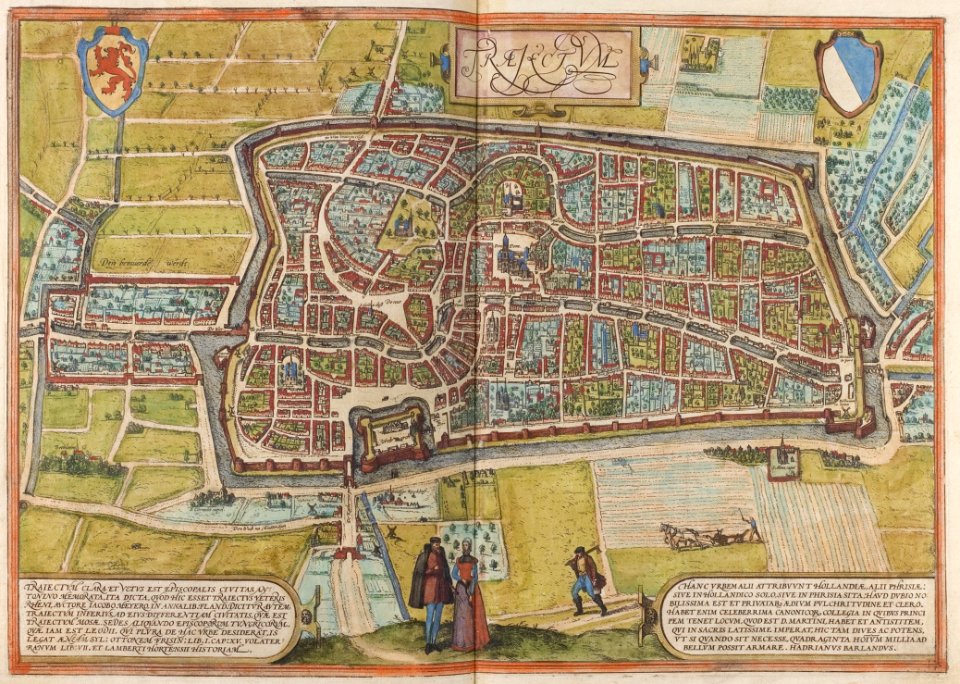
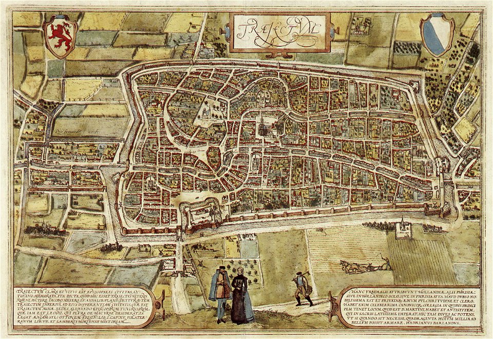
old maps of utrecht (city)
braun & hogenberg
miniature speed atlas (1627) pieter van den keere
pieter van der keere
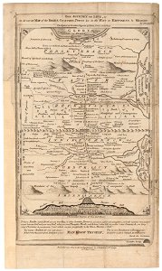
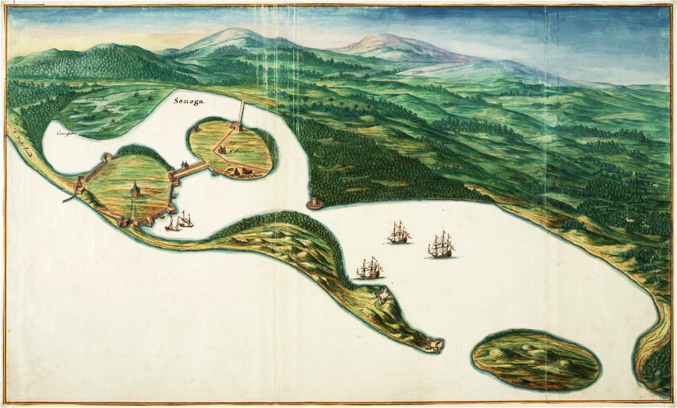
saint-louis region
1665
maps of the west-indische compagnie
1747)
maps in the library of congress
1883 maps of montana
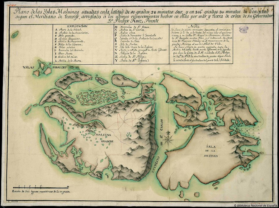
old maps of the falkland islands
history of the falkland islands
map of paris by claes jansz. visscher
bird's eye view maps of paris
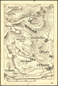
hand-drawn maps and views of world war i battlefields by h.m.
battle of hartmannswillerkopf
maps in the library of congress
1862 maps
19th-century maps of bavaria
wertach river in augsburg
bibliothèque municipale de reims
montparnasse
maps made in the 17th century
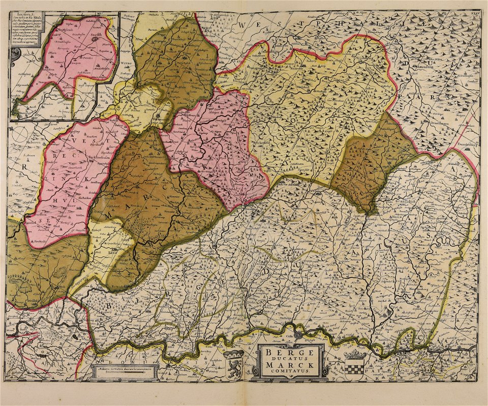
maps of the county of mark
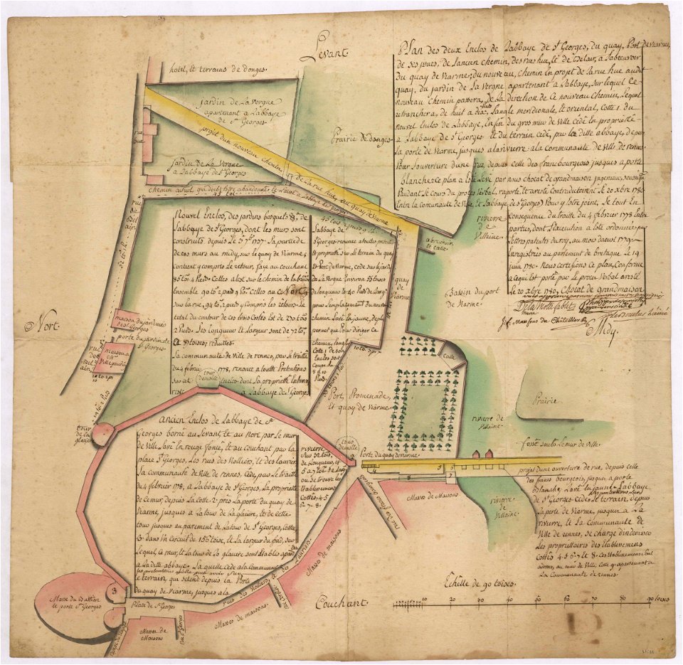
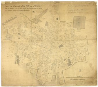
old maps of rennes
1780 maps
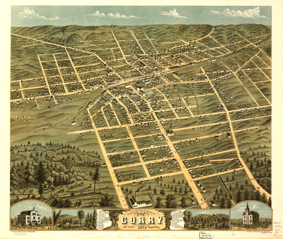
maps in the library of congress
pennsylvania
maps in the library of congress
pennsylvania
atlantis magni tomus tertius (biblioteca comunale di trento)
maps made in the 17th century
claes jansz. visscher (ii)
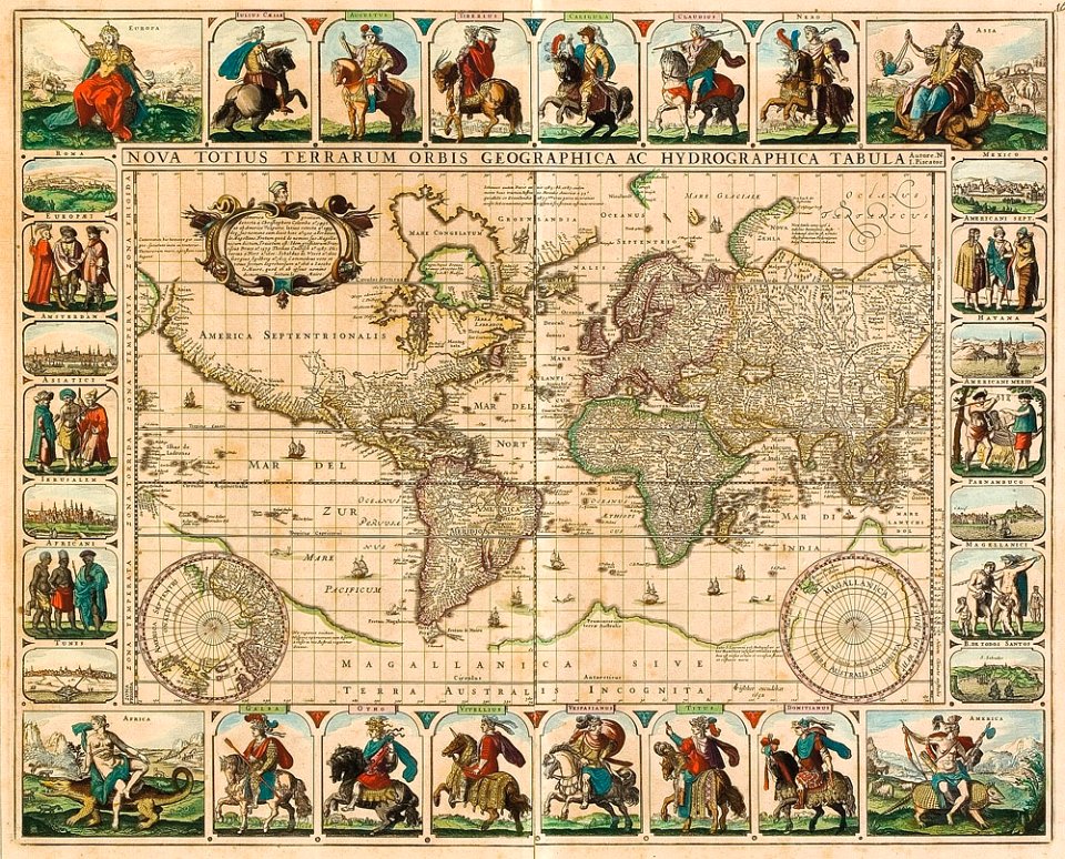
1650s maps of the world
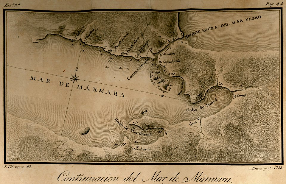
maps of the sea of marmara
maps of the bosphorus
lucas janszoon waghenaer
1588 maps
maps with cartouches
atlas van der hagen
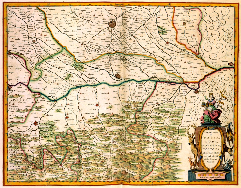
old maps of lombardy
novara
fonds ancely - bibliothèque municipale de toulouse - maps
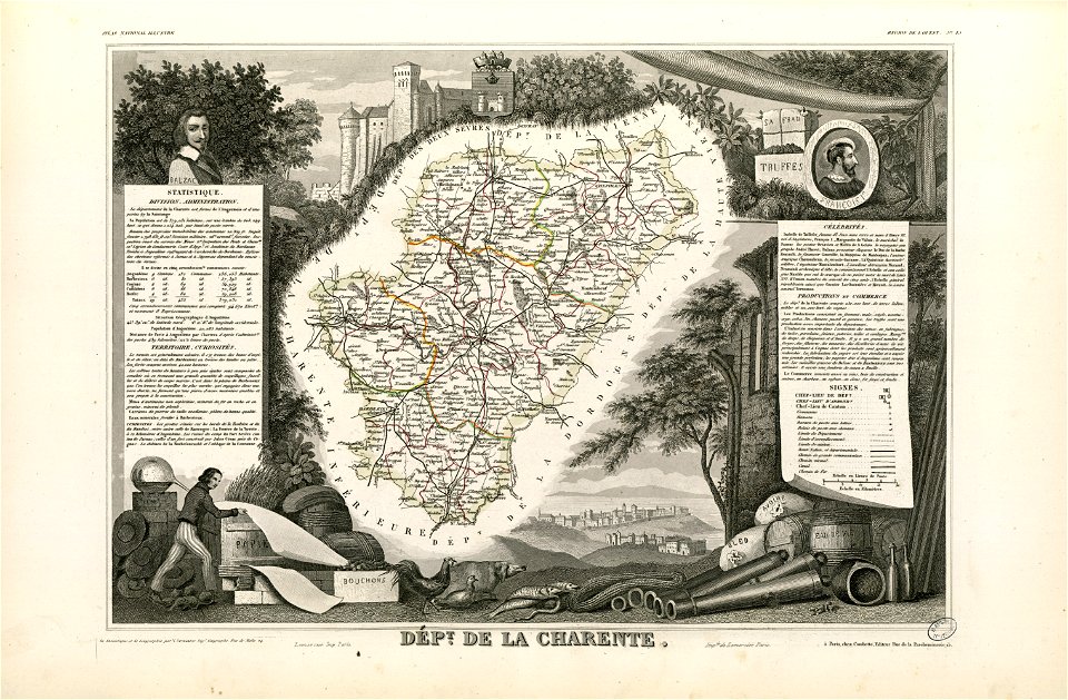
coats of arms of cities in charente
animals
maps
maps with cartouches
mount wutai
map of paris by claes jansz. visscher - derivate files
abbaye sainte-geneviève de paris
maps in the library of congress
1862 maps
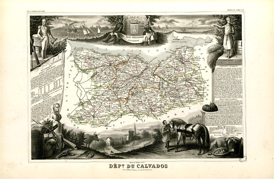
fonds ancely - bibliothèque municipale de toulouse - maps
old maps of calvados
charts and maps of the royal museums greenwich
edward gennys fanshawe
historical images of the gravensteen (ghent)
atlas van loon
1590s maps of the world
frans hogenberg
maps made in the 17th century
jan janssonius
important cultural property of japan in tokyo
maps in the national archives of japan
volume 1 of le tour du monde
maps of the bay of kotor
volume 3 of le tour du monde
maps by alexandre vuillemin
19th-century maps of brazil
maps by alexandre vuillemin
atlantis magni tomus tertius (biblioteca comunale di trento)
maps made in the 17th century
prints from manesson travaux de mars at the peace palace library
old maps of béthune
joseph pitton de tournefort
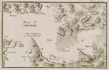
i̇zmir in the 18th century
maps from the mechanical curator collection
british battles on land and sea
great rennes fire of 1720
old maps of rennes
maps of fictional islands
maps in literature
miniature speed atlas (1627) pieter van den keere
pieter van der keere
miniature speed atlas (1627) pieter van den keere
pieter van der keere
old maps of utrecht (city)
braun & hogenberg
maps made in the 18th century
gerard valck
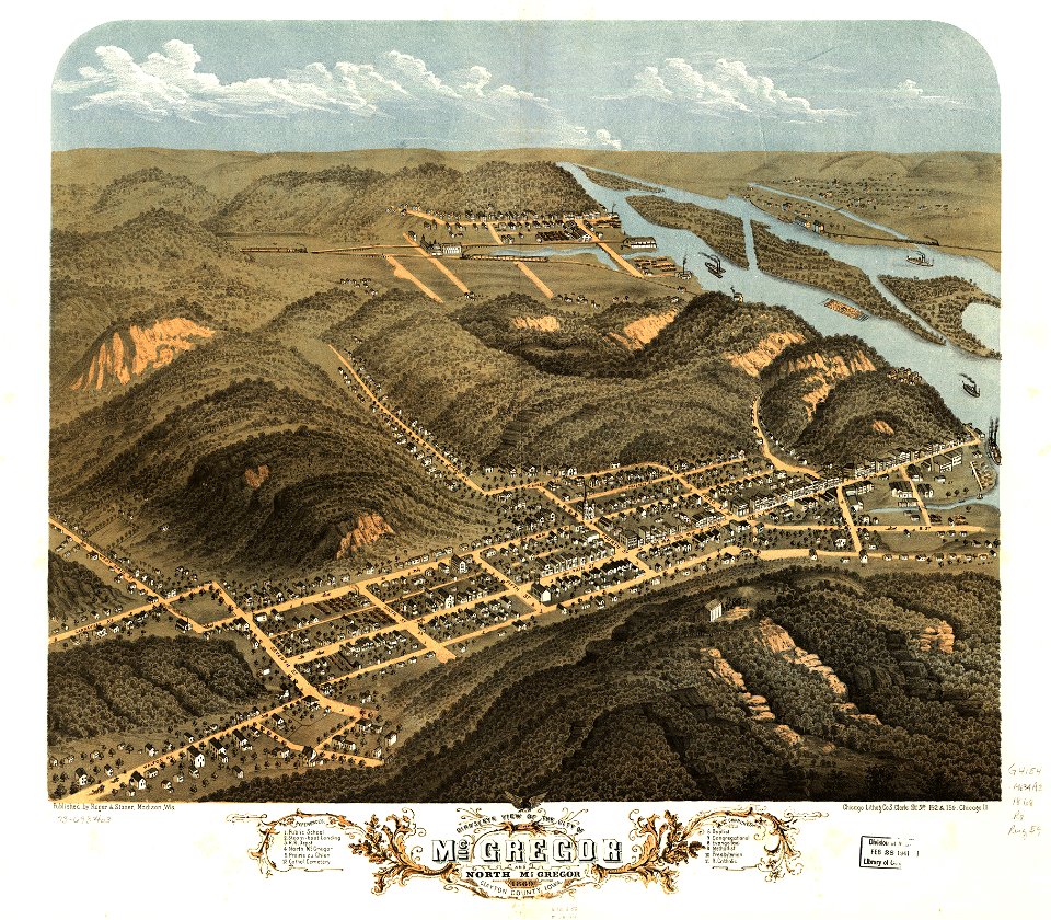
maps in the library of congress
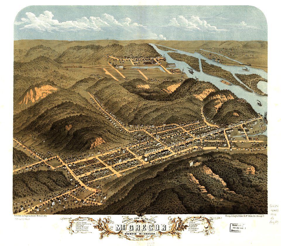
albert ruger
maps in the library of congress
albert ruger
maps in the library of congress
albert ruger
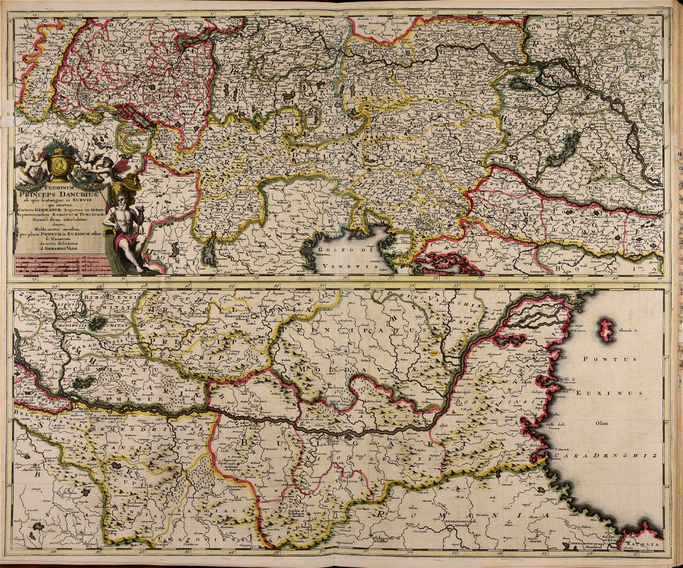
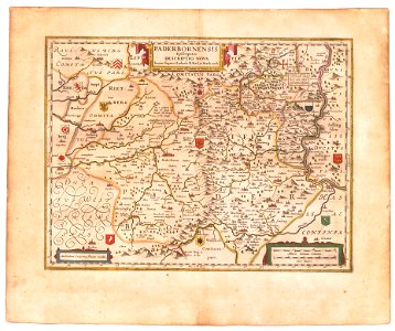
old maps of prince-bishopric of paderborn
atlas novus (blaeu)
pre-columbian cultures of north-america
1891 map
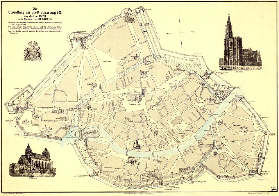
collections de la bibliothèque nationale et universitaire de strasbourg
maps by daniel specklin
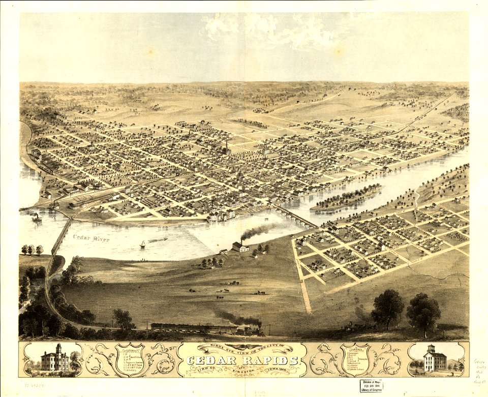
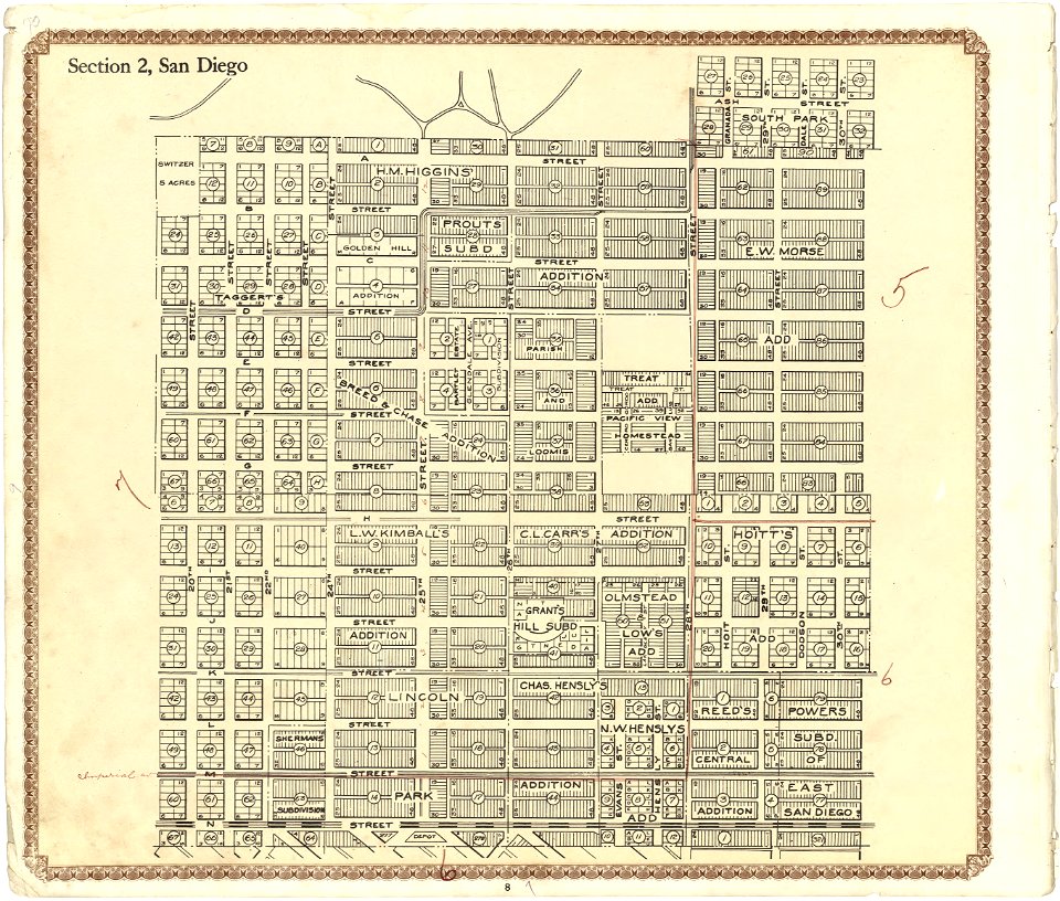
maps in the library of congress
california
maps in the library of congress
california
maps in the library of congress
california
maps in the library of congress
california
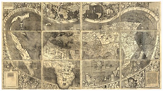
waldseemüller map
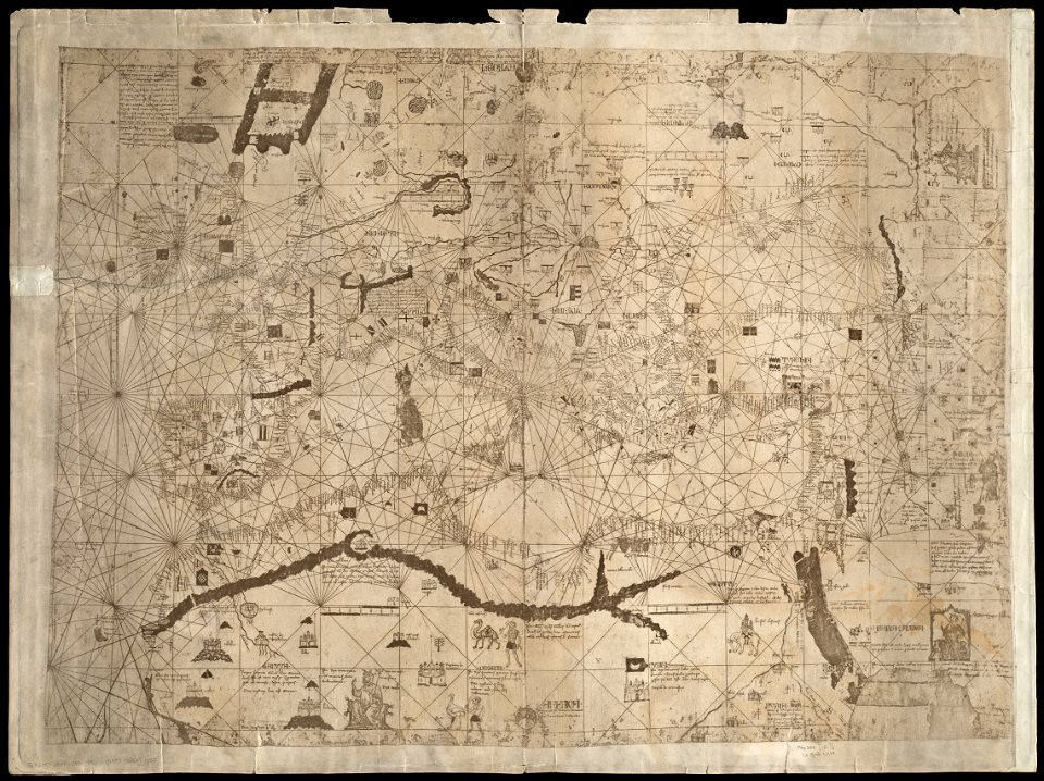
maps by angelino dulcert
latin-language maps
fonds ancely - bibliothèque municipale de toulouse - maps
old maps of côtes-d'armor
hatched coats of arms
old maps of ireland
maps made in the 17th century
gerard valck
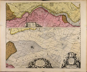
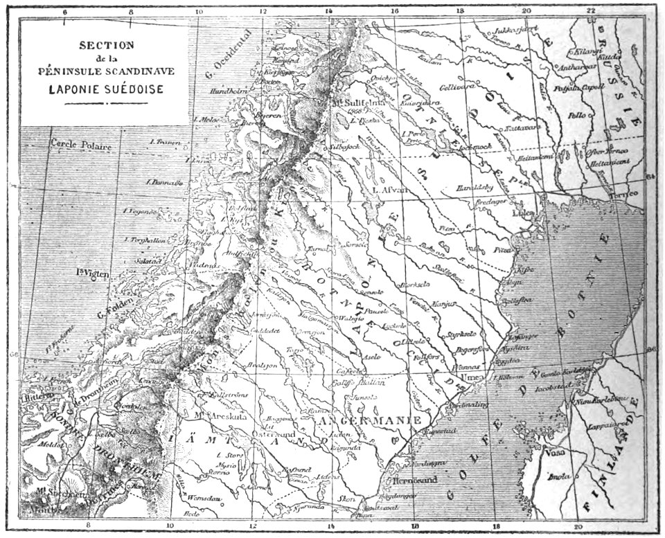
19th-century maps of sweden
sweden in the 1850s
maps of arras city walls
old maps of arras
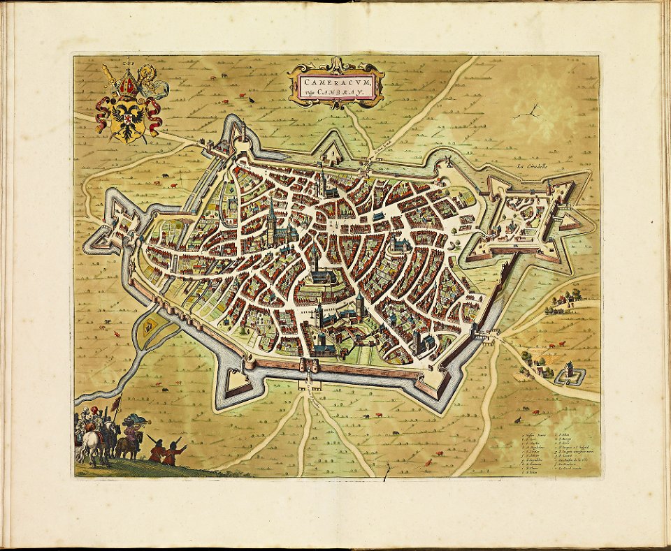
old maps of cambrai
atlas de wit 1698
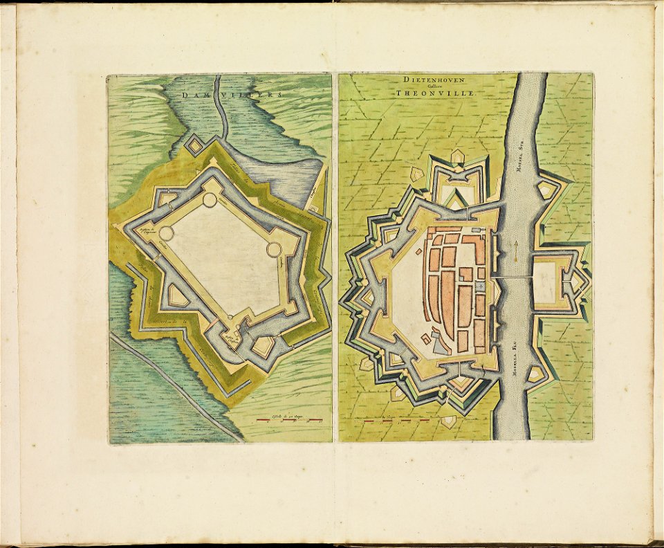
maps of thionville city walls
atlas de wit 1698
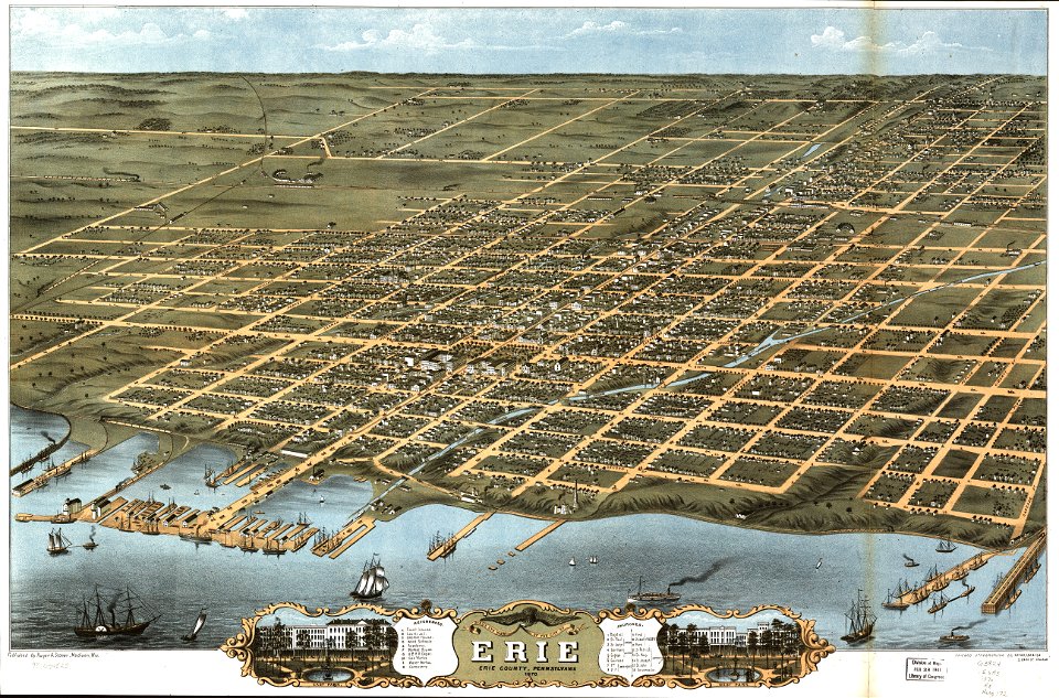
maps in the library of congress
pennsylvania
maps in the library of congress
albert ruger
maps in the library of congress
pennsylvania
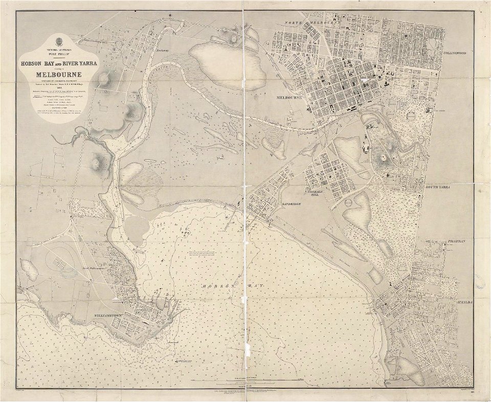
maps of melbourne
australia
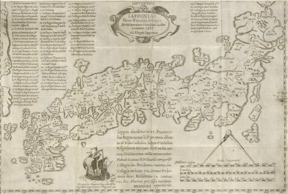
19th-century maps of japan
harvard university
orange county
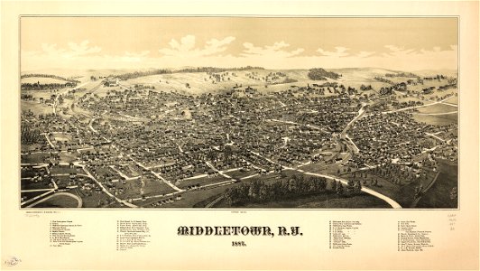
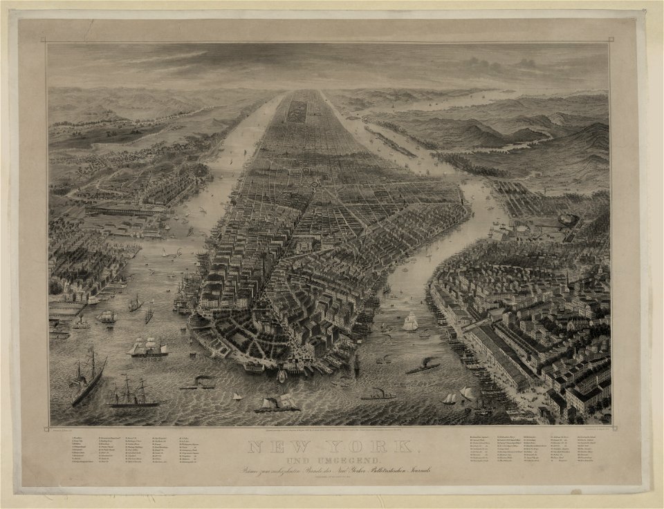
new york
bird's eye view maps of new york city
1867 maps of new york (state)
maps of paris by braun & hogenberg
maps of paris from paris musées
maps in the library of congress
california
maps in the library of congress
california
9101 - 9200 of 357,549
Next page
/ 3576