Log in
All resources
Create a design
357,544 Free Images of Mapping
maps in the library of congress
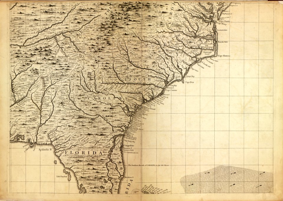
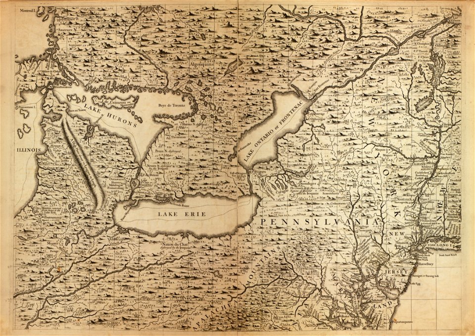
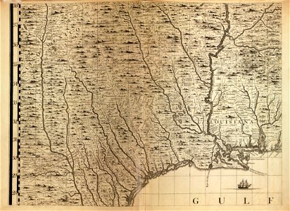
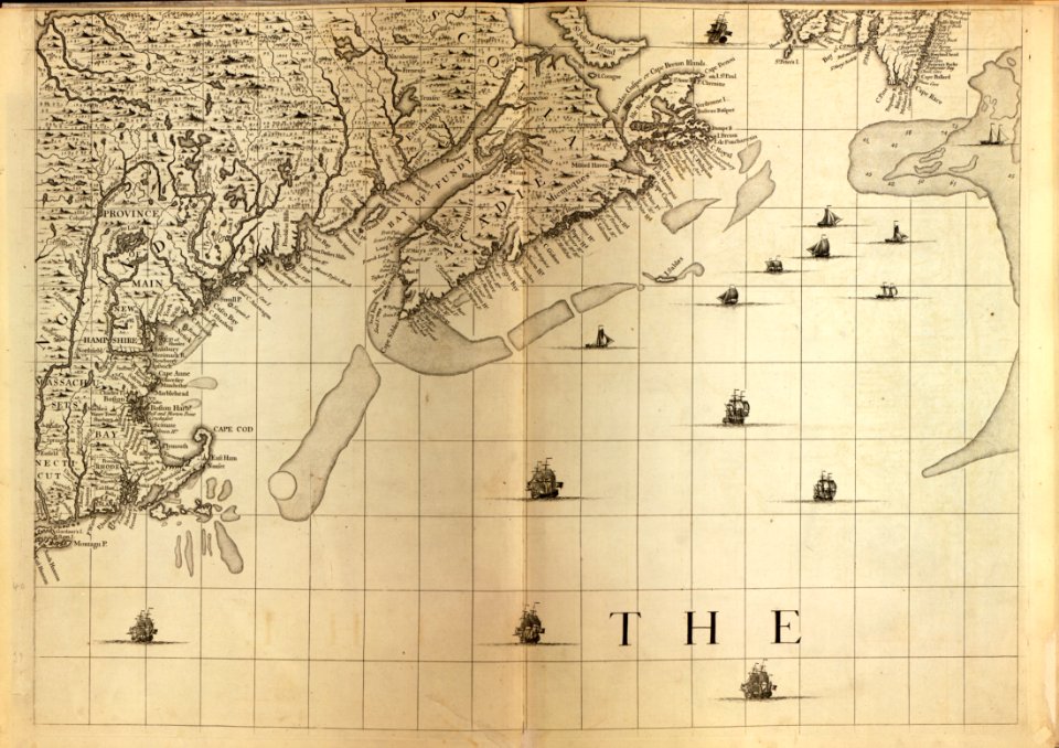
a map of the british empire in america with the french and spanish settlements adjacent thereto
charts and maps of the royal museums greenwich
description de l'universe
maps in the british museum
1682 maps
maps made in the 17th century
maps by pieter schenk (i)
maps of the dutch east india company - indonesia
new york
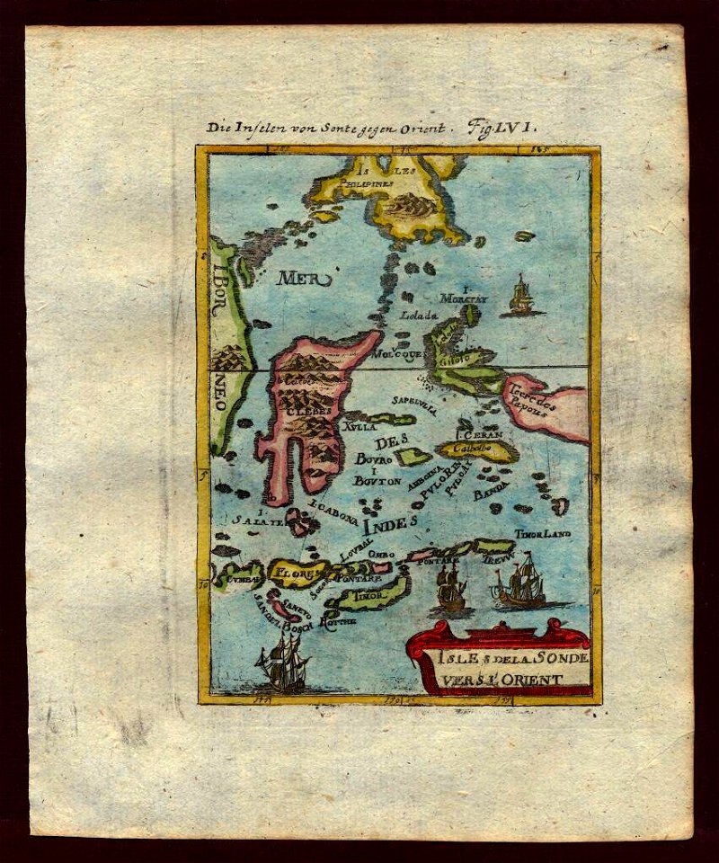
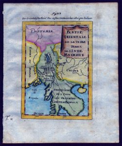
old maps of southeast asia
description de l'universe
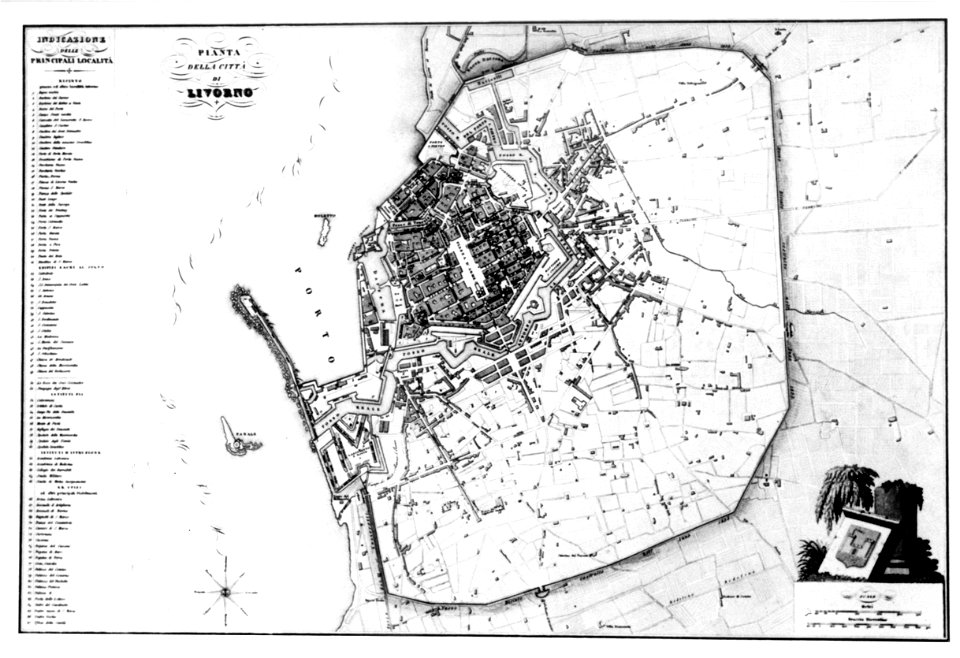
old maps of livorno
lepsius-projekt - maps
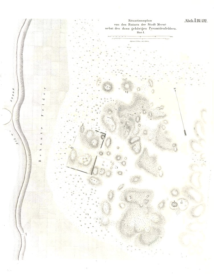
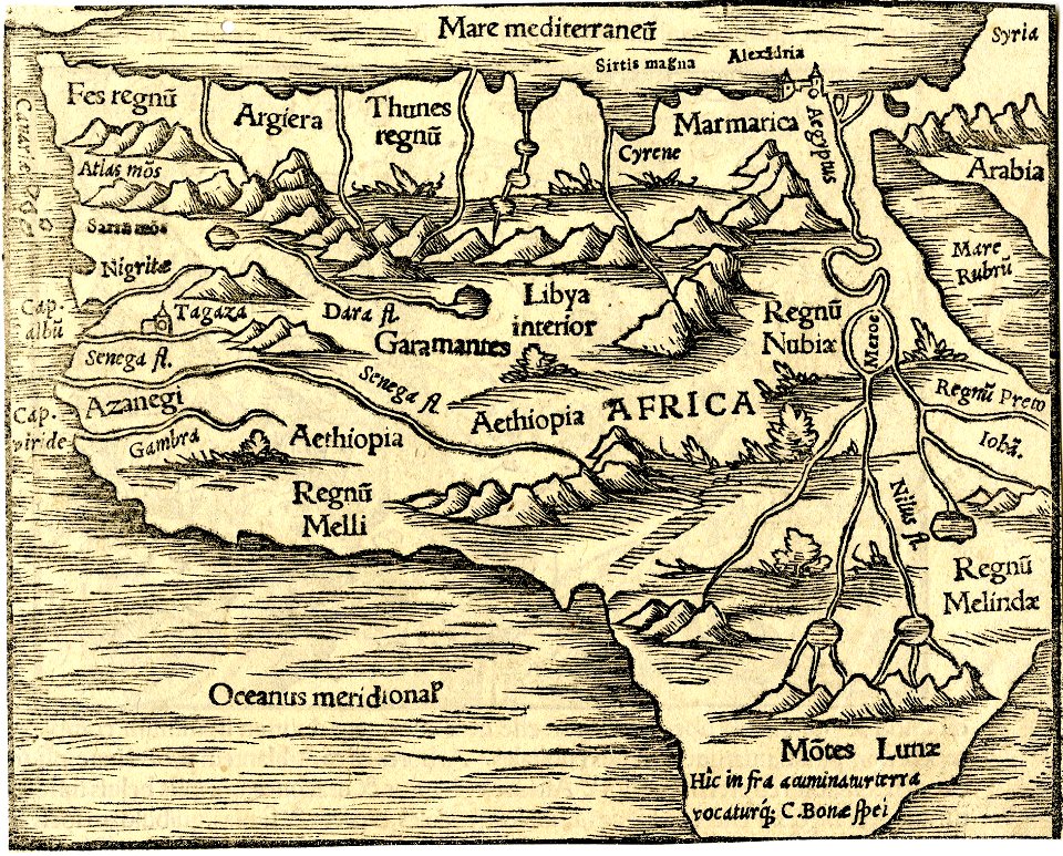
maps of meroe
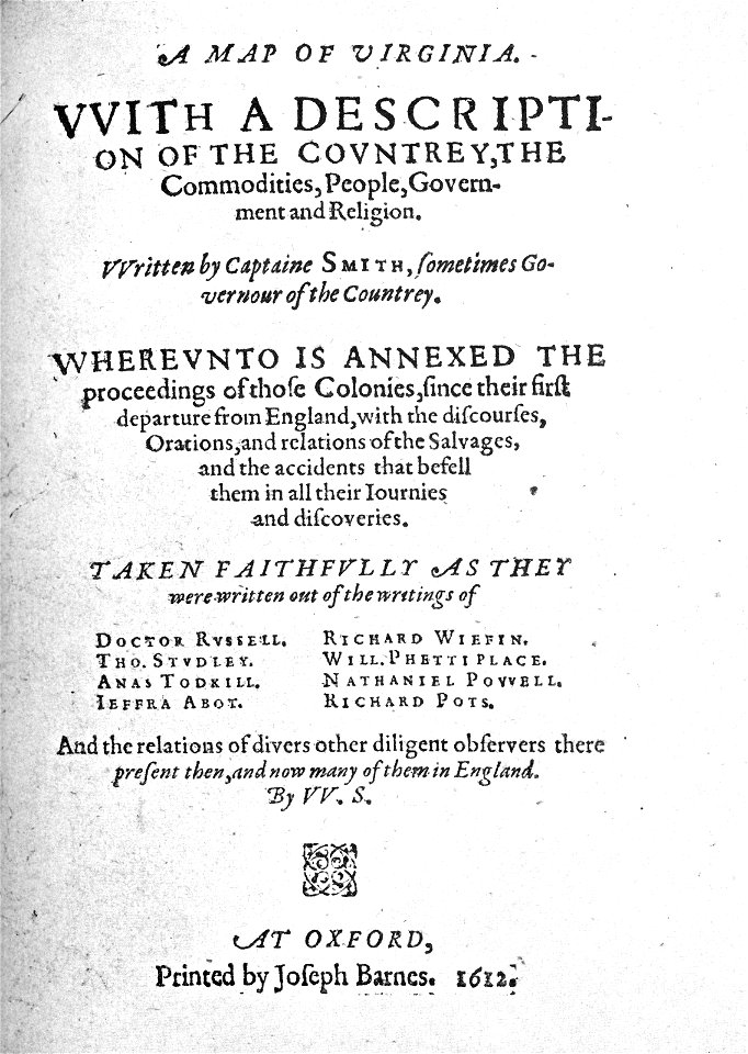
captain john smith
maps of virginia
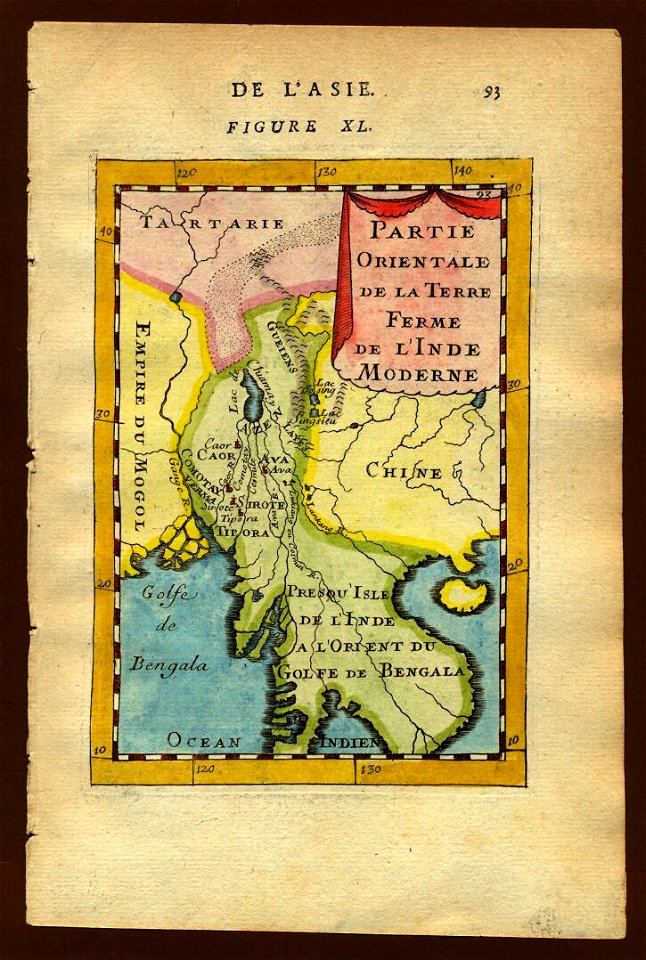
old maps of southeast asia
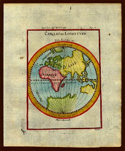
description de l'universe
description de l'universe
old maps of africa
description de l'universe
1710s maps of the world
description de l'universe
old maps of africa
description de l'universe
old maps of africa
description de l'universe
1710s maps of the world
old maps of southeast asia
description de l'universe
description de l'universe
1710s maps of the world
description de l'universe
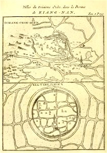
old maps of china
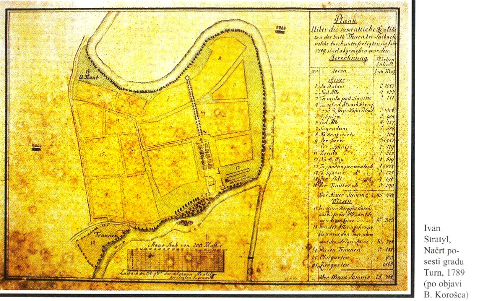
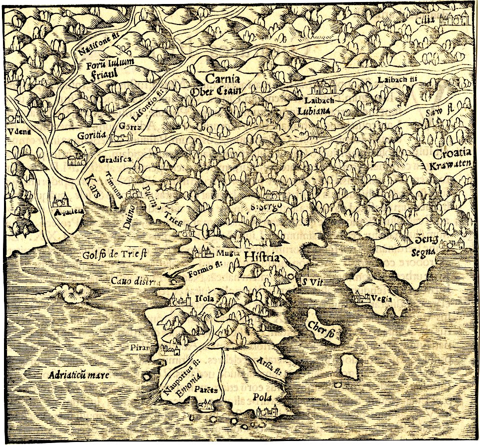
18th-century maps of slovenia
kodeljevo park
charts and maps of the royal museums greenwich
1682 maps
charts and maps of the royal museums greenwich
1682 maps
charts and maps of the royal museums greenwich
1682 maps
charts and maps of the royal museums greenwich
1682 maps
charts and maps of the royal museums greenwich
1682 maps
maps in the british museum
maps in the british museum
maps in the british museum
maps in the british museum
maps in the british museum
maps in the british museum
maps in the british museum
maps in the british museum
maps in the british museum
maps in the british museum
maps in the british museum
maps by antonio zatta
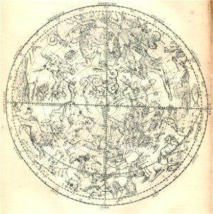
old celestial maps
1909 maps of north america
old maps of north america
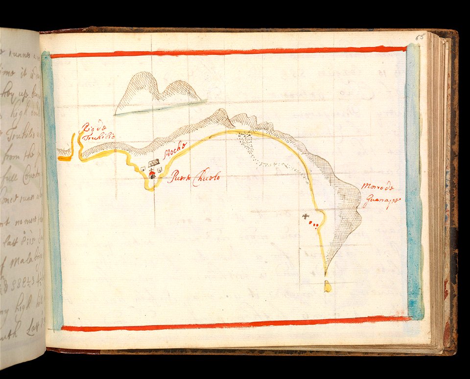
charts and maps of the royal museums greenwich
1682 maps
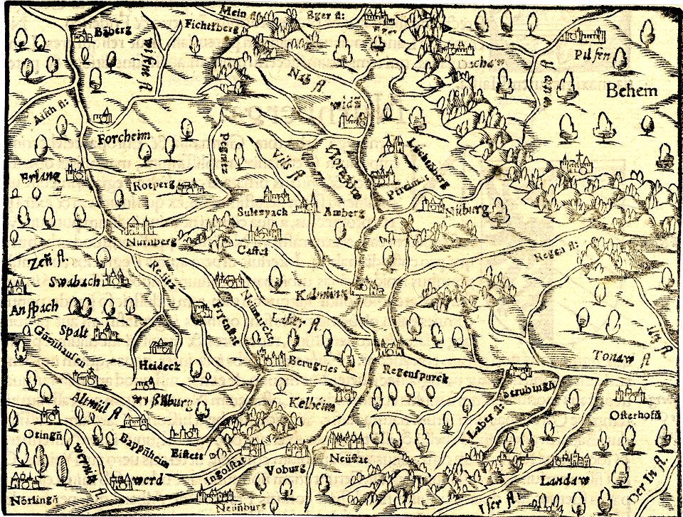
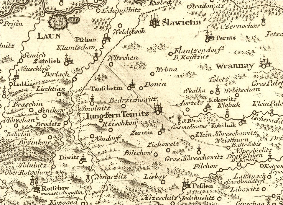
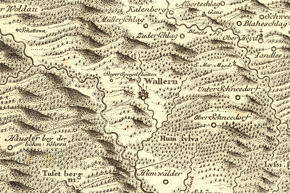
details of müller's map of bohemia
maps of louny district
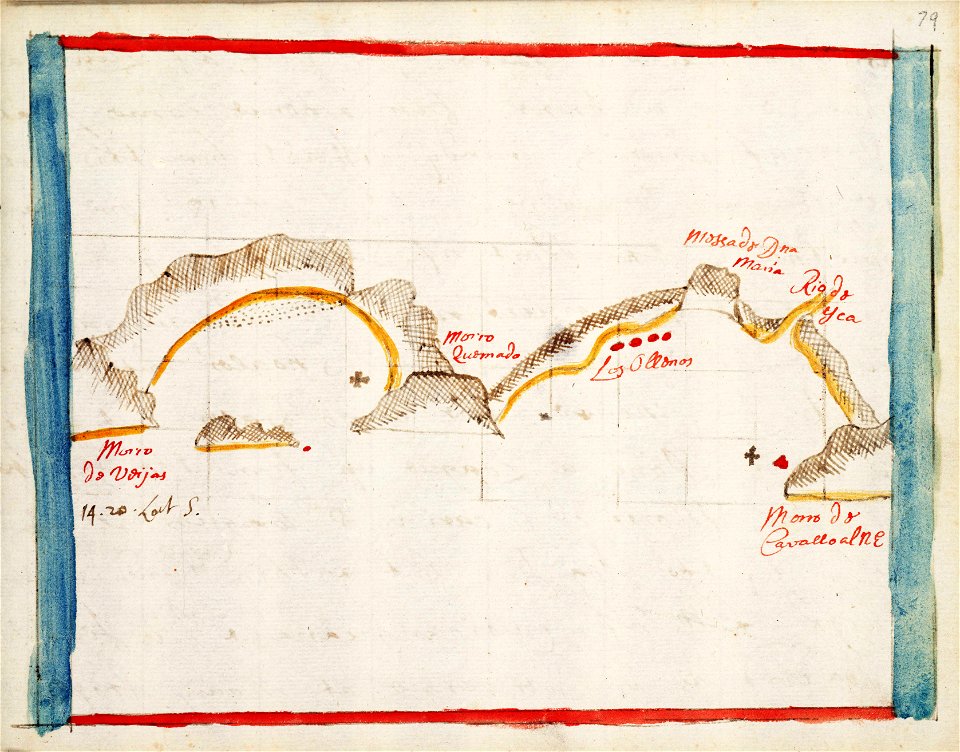
charts and maps of the royal museums greenwich
1682 maps
old celestial maps
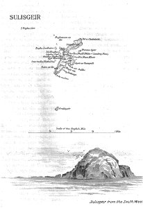
old maps of the outer hebrides
lighthouse maps
details of müller's map of bohemia
maps of volary
charts and maps of the royal museums greenwich
1682 maps
charts and maps of the royal museums greenwich
1682 maps
charts and maps of the royal museums greenwich
1682 maps
description de l'universe
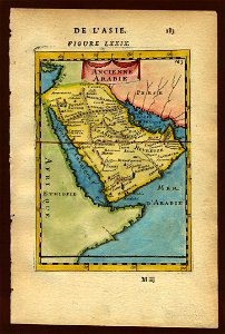
old maps of saudi arabia
french-language maps of china
changzhou
maps by nicolas sanson
gerard valck
maps made in the 17th century
gerard valck
old maps of alabama
old maps of florida
charts and maps of the royal museums greenwich
james cook (maps relating to)
maps by nicolas sanson
gerard valck
18th-century maps of bohemia
1780 maps of czechia
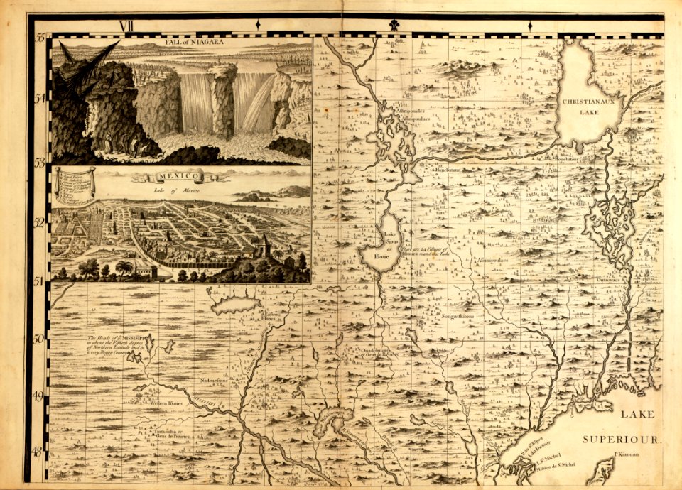
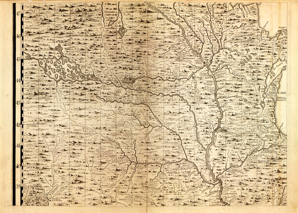
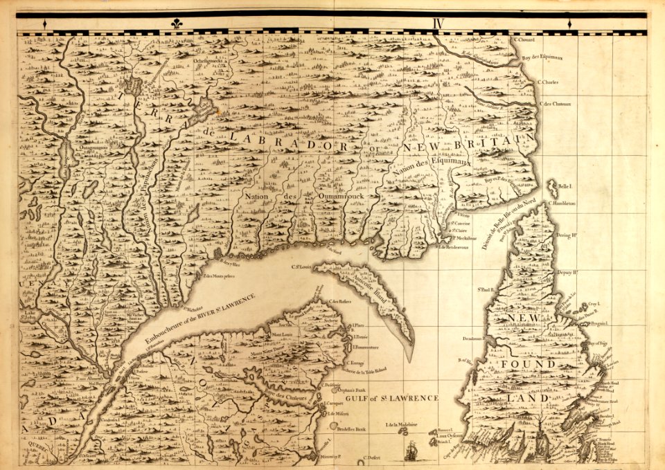
a map of the british empire in america with the french and spanish settlements adjacent thereto
maps in the library of congress
a map of the british empire in america with the french and spanish settlements adjacent thereto
maps in the library of congress
a map of the british empire in america with the french and spanish settlements adjacent thereto
maps in the library of congress
a map of the british empire in america with the french and spanish settlements adjacent thereto
maps in the library of congress
a map of the british empire in america with the french and spanish settlements adjacent thereto
maps in the library of congress
a map of the british empire in america with the french and spanish settlements adjacent thereto
maps in the library of congress
a map of the british empire in america with the french and spanish settlements adjacent thereto
maps in the library of congress
a map of the british empire in america with the french and spanish settlements adjacent thereto
maps in the library of congress
a map of the british empire in america with the french and spanish settlements adjacent thereto
maps in the library of congress
atlantis magni tomus quintus (biblioteca comunale di trento)
maps made in the 18th century
astronomy
maps
travel
maps
johann baptist homann
latin-language maps
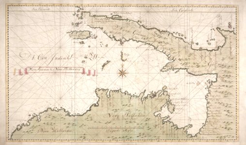
new holland (australia)
1720s
18th-century maps of indonesia
1744
maps of the dutch east india company - indonesia
1724
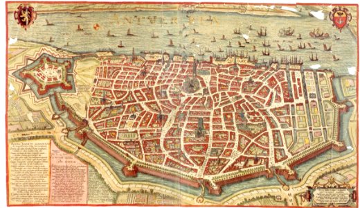
maps and topographical views by joris hoefnagel
maps of antwerp
maps made in the 17th century
maps by nicolaes visscher i
maps made in the 17th century
maps by nicolaes visscher i
maps in the library of congress
1867 maps
maps made in the 17th century
maps by nicolaes visscher i
maps in the library of congress
new york
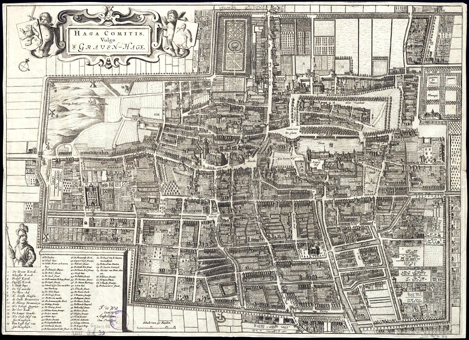
maps by frederick de wit
old maps of the hague
new york
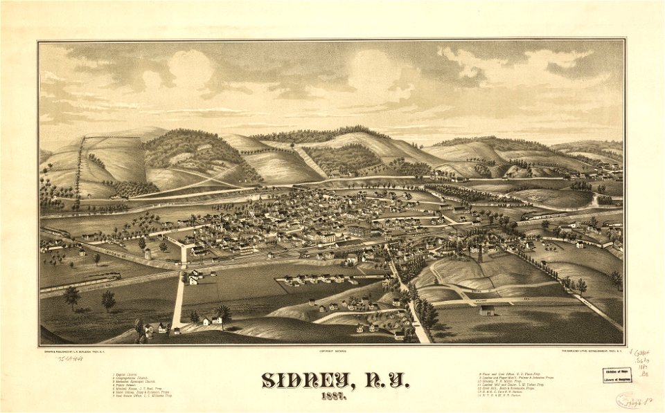
sidney
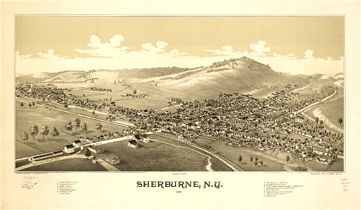
sherburne
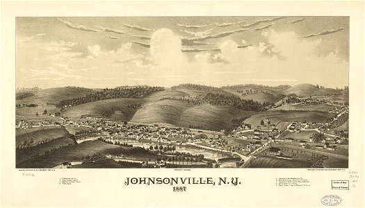
new york
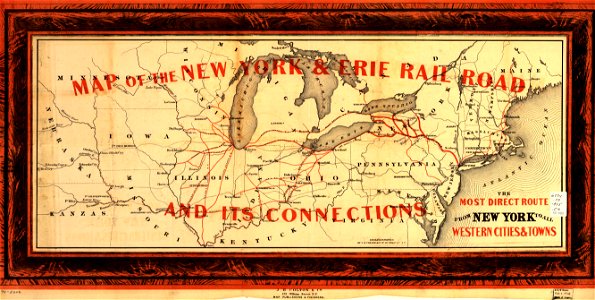
maps in the library of congress
new york
maps in the library of congress
1855 maps
maps in the library of congress
1855 maps
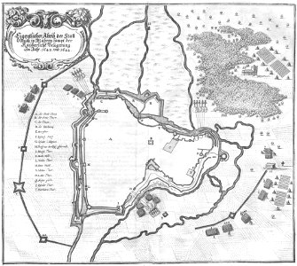
olomouc fortress
1644
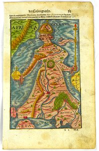
illustrations of cosmographia (münster)
latin-language maps
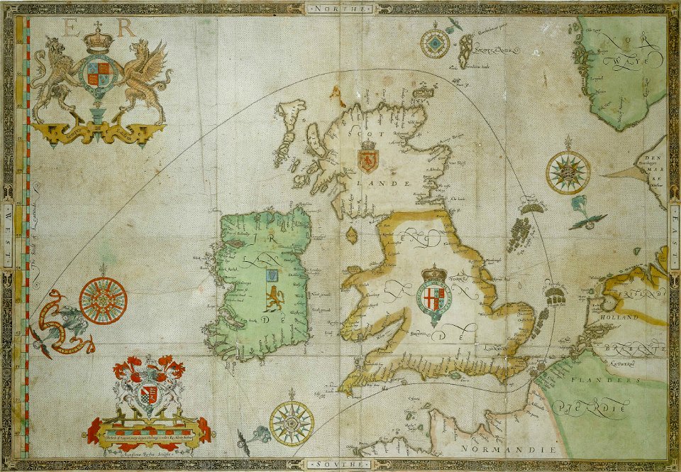
the track of the armada around britain and ireland
charts and maps of the royal museums greenwich
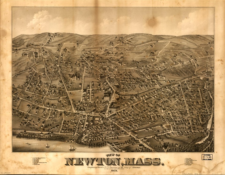
massachusetts
o. h. bailey
massachusetts
o. h. bailey
a map of the british empire in america with the french and spanish settlements adjacent thereto
maps in the library of congress
a map of the british empire in america with the french and spanish settlements adjacent thereto
maps in the library of congress
a map of the british empire in america with the french and spanish settlements adjacent thereto
maps in the library of congress
maps of the french and indian war
1786 maps
a map of the british empire in america with the french and spanish settlements adjacent thereto
maps in the library of congress
a map of the british empire in america with the french and spanish settlements adjacent thereto
maps in the library of congress
a map of the british empire in america with the french and spanish settlements adjacent thereto
maps in the library of congress
maps in the library of congress
a. hoen & co.
a map of the british empire in america with the french and spanish settlements adjacent thereto
maps in the library of congress
a map of the british empire in america with the french and spanish settlements adjacent thereto
maps in the library of congress
a map of the british empire in america with the french and spanish settlements adjacent thereto
maps in the library of congress
a map of the british empire in america with the french and spanish settlements adjacent thereto
maps in the library of congress
a map of the british empire in america with the french and spanish settlements adjacent thereto
maps in the library of congress
a map of the british empire in america with the french and spanish settlements adjacent thereto
maps in the library of congress
a map of the british empire in america with the french and spanish settlements adjacent thereto
maps in the library of congress
17th-century maps of indonesia
1614
trịnh lords
1665
maps of the dutch east india company - indonesia
onrust island
6701 - 6800 of 357,544
Next page
/ 3576