Log in
All resources
Create a design
Tools
357,630 Free Images of Maps
charts and maps of the royal museums greenwich
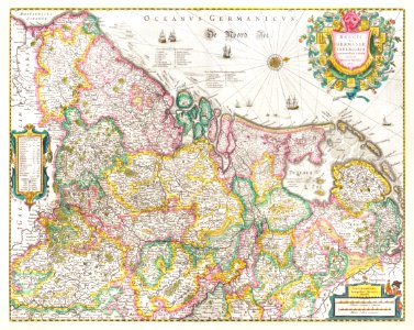
maps made in the 17th century
gerard valck
maps by pieter schenk (i)
maps in the library of congress
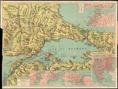
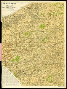
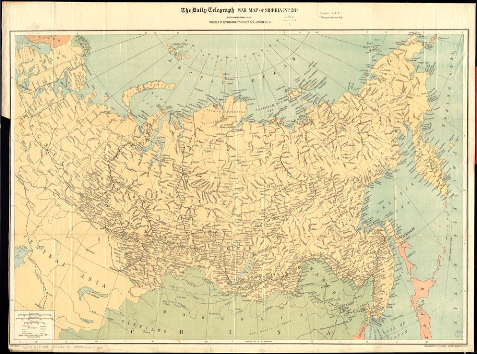
maps of world war i by the daily telegraph
1682 maps
atlantis magni tomus tertius (biblioteca comunale di trento)
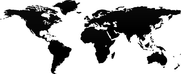
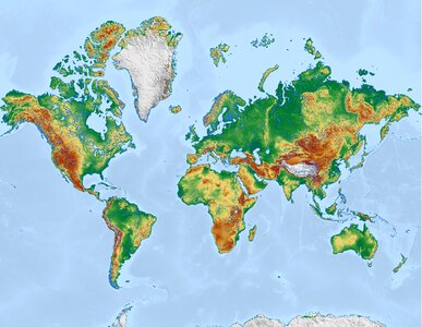
world
globe
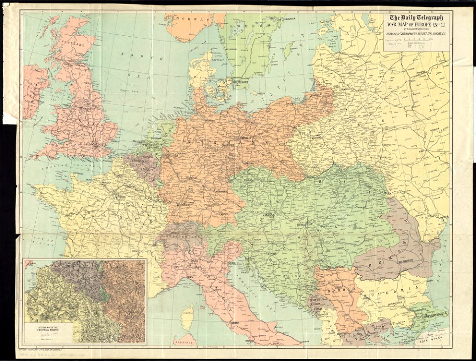
maps of world war i by the daily telegraph
maps of world war i by the daily telegraph
maps of world war i by the daily telegraph
maps of world war i by the daily telegraph
maps of world war i by the daily telegraph
maps in the library of congress
1884 maps of new york (state)
charts and maps of the royal museums greenwich
1682 maps
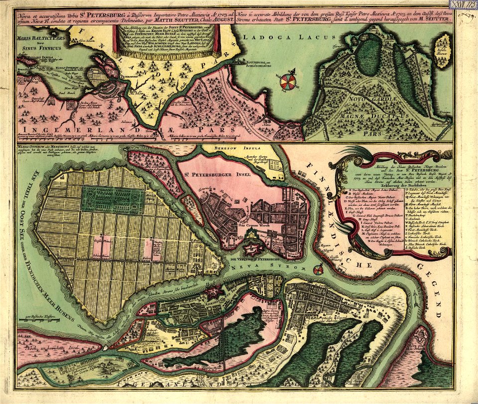
18th-century maps of saint petersburg
matthäus seutter
topographic maps of palestine
jerusalem
globe
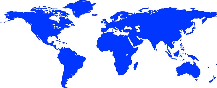
blue
earth
maps
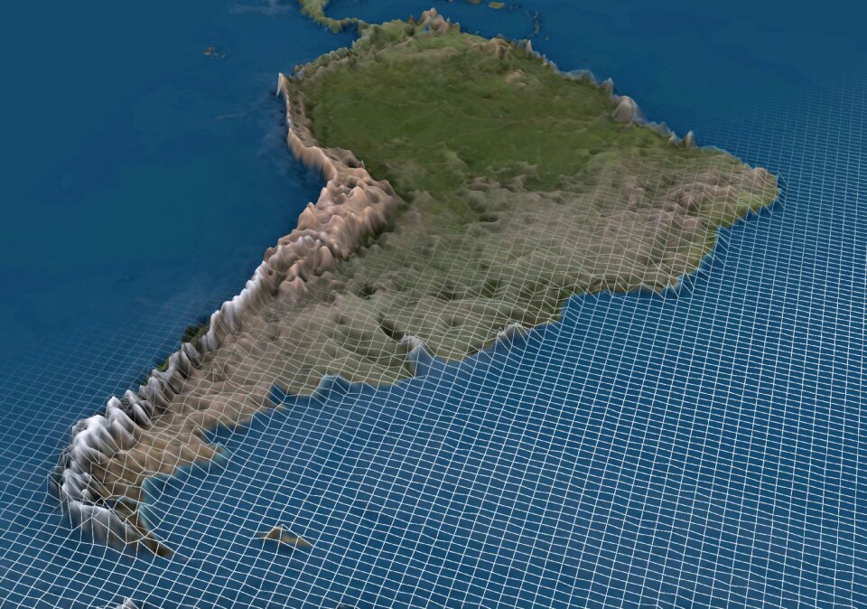
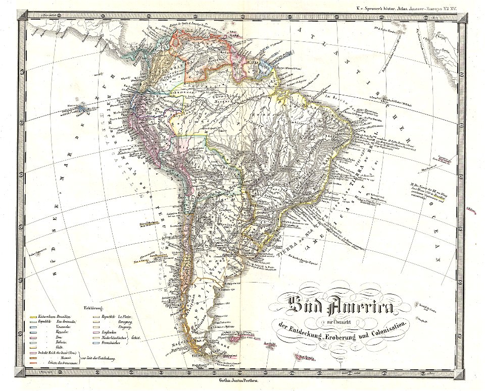
south america
blue
earth
maps
popular science monthly illustrations/volume 13
drainage basin maps of north america
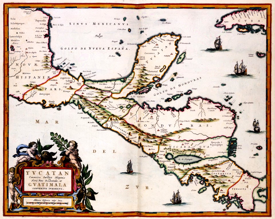
maps of the yucatan peninsula
maps with cartouches
cornell university library
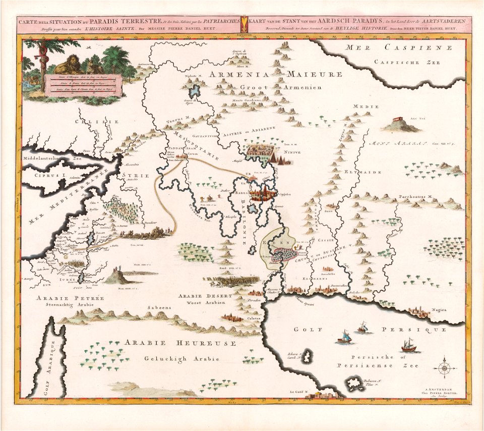
garden of eden
maps
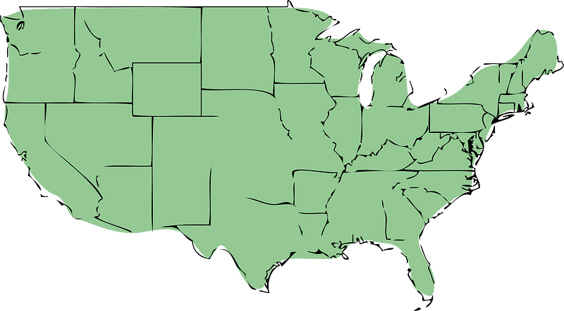
usa
self-published work
communism
earth
maps
earth
maps
earth
maps
illustration
maps
old maps of the canton of zürich
old maps of switzerland
maps by nicolaes visscher i
old maps of upper austria
1850s maps of south america
karl spruner von merz
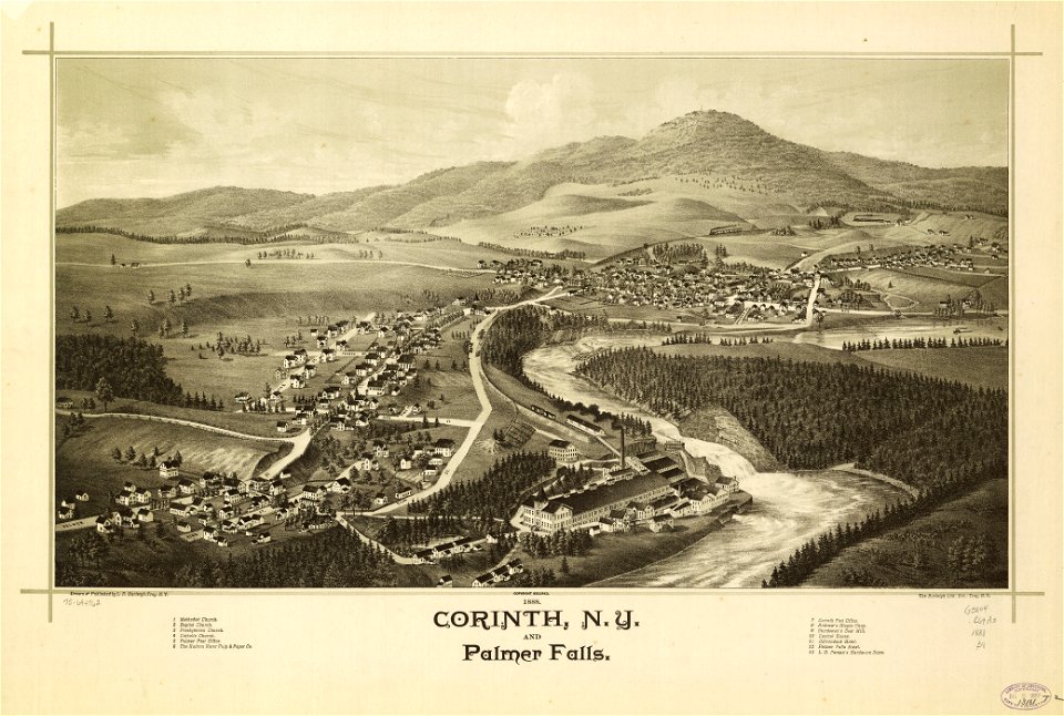
new york
corinth
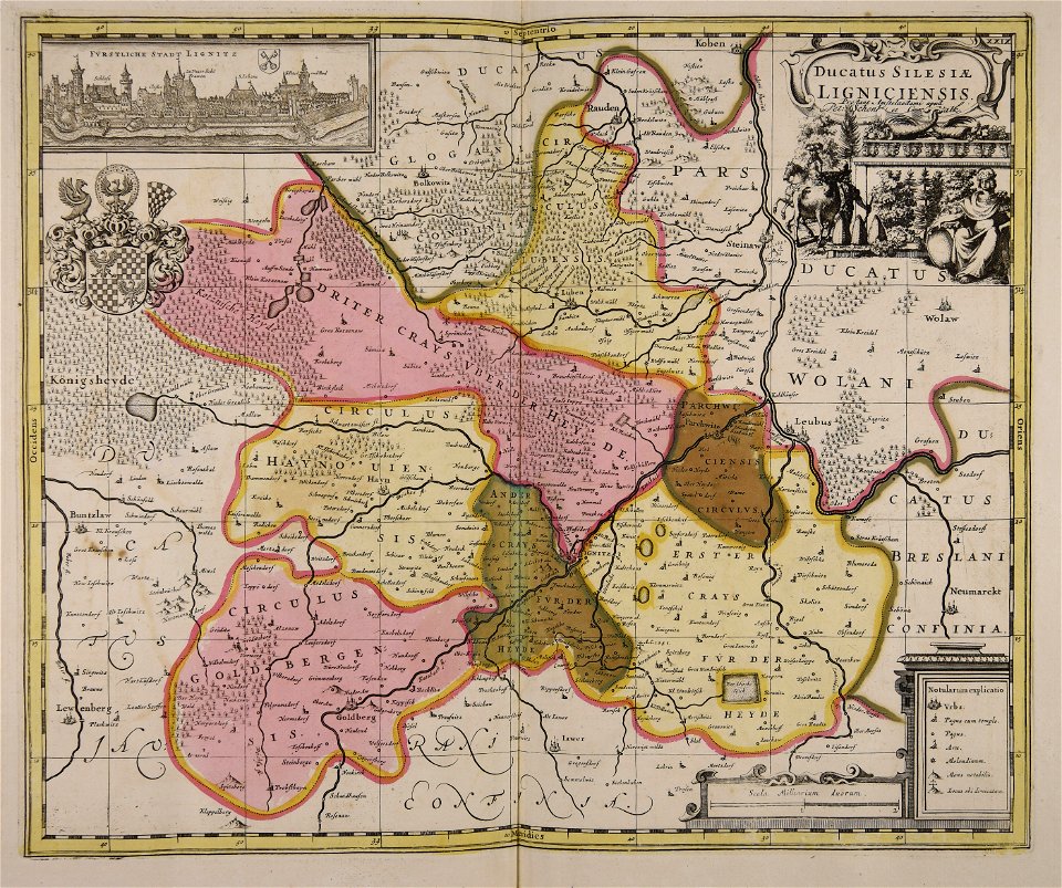
old maps of silesia
gerard valck
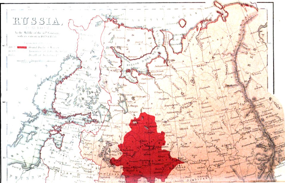
old maps of the russian empire
1856 maps
maps made in the 17th century
gerard valck
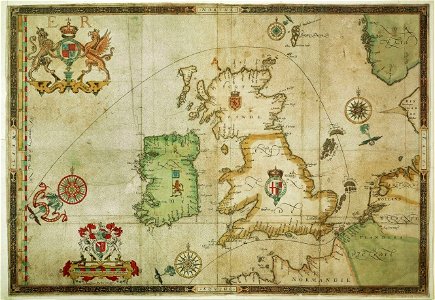
the track of the armada around britain and ireland
london
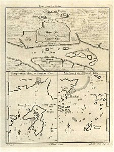
old maps of guangzhou
1745
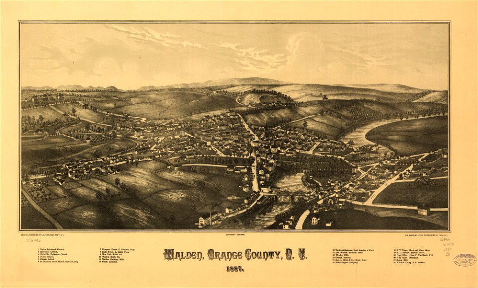
new york
walden
maps in the library of congress
new york
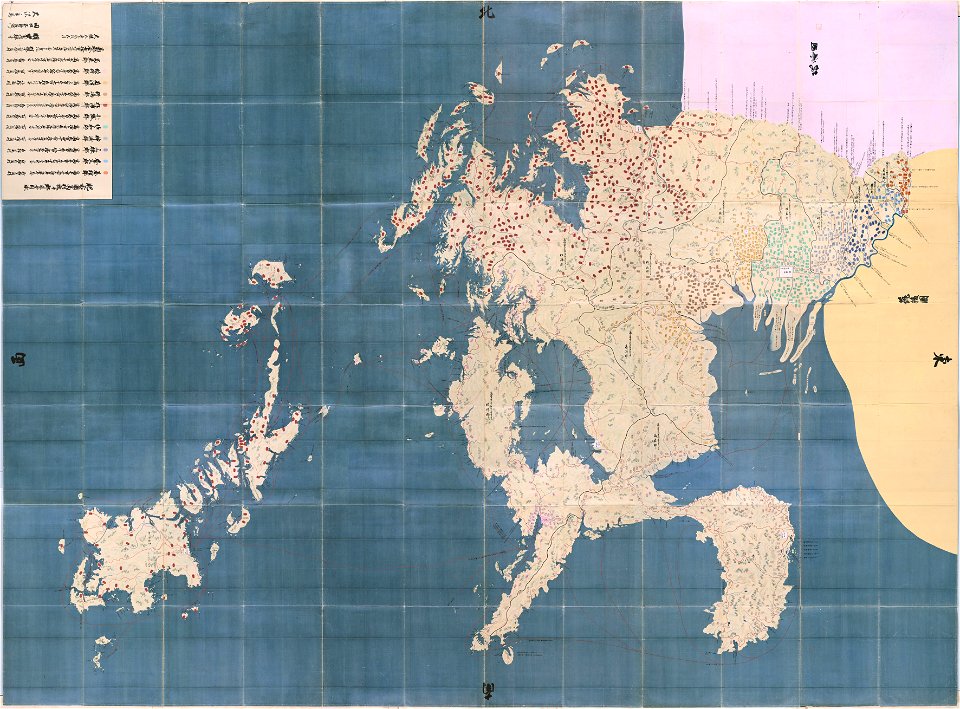
maps in the national archives of japan
hizen province
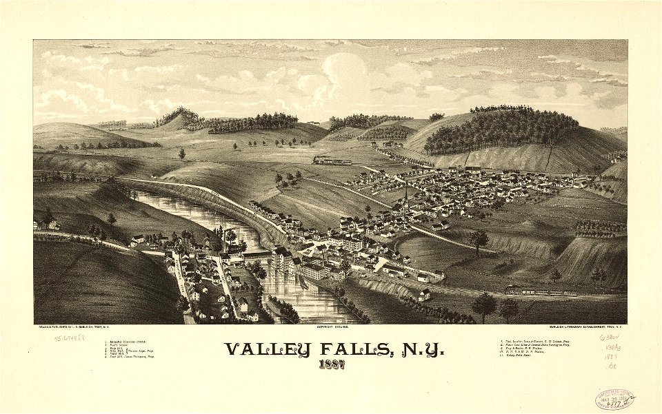
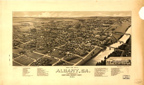
georgia
albany
maps made in the 17th century
gerard valck
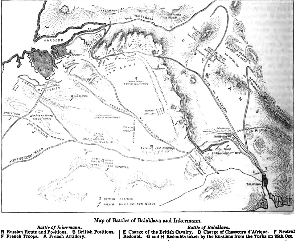
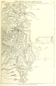
maps of battles
1856 maps
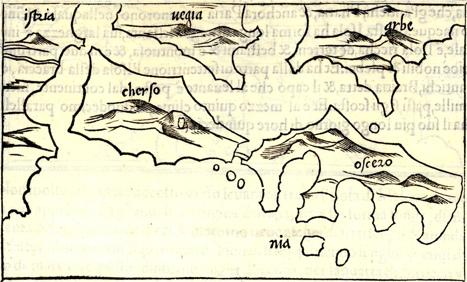
isolario di benedetto bordone (1547)
maps by benedetto bordon
maps made in the 17th century
gerard valck
maps made in the 17th century
gerard valck
maps made in the 17th century
gerard valck
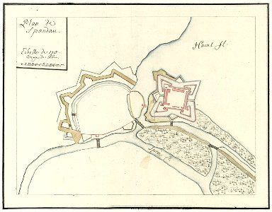
city walls of berlin-spandau
moll's map collection
burg meersburg
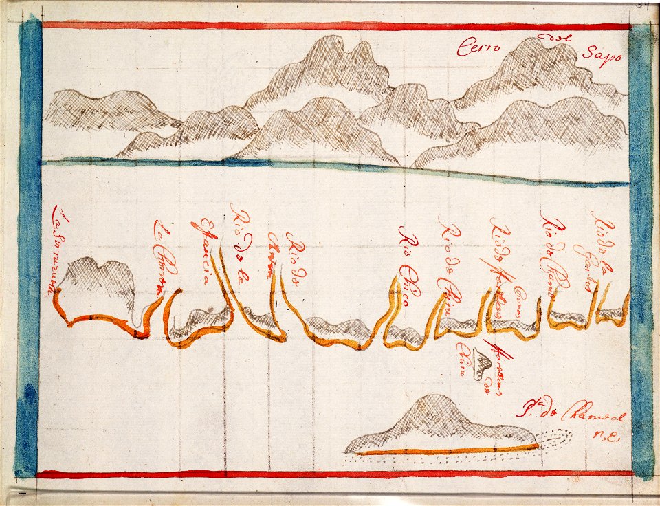
pencil drawing
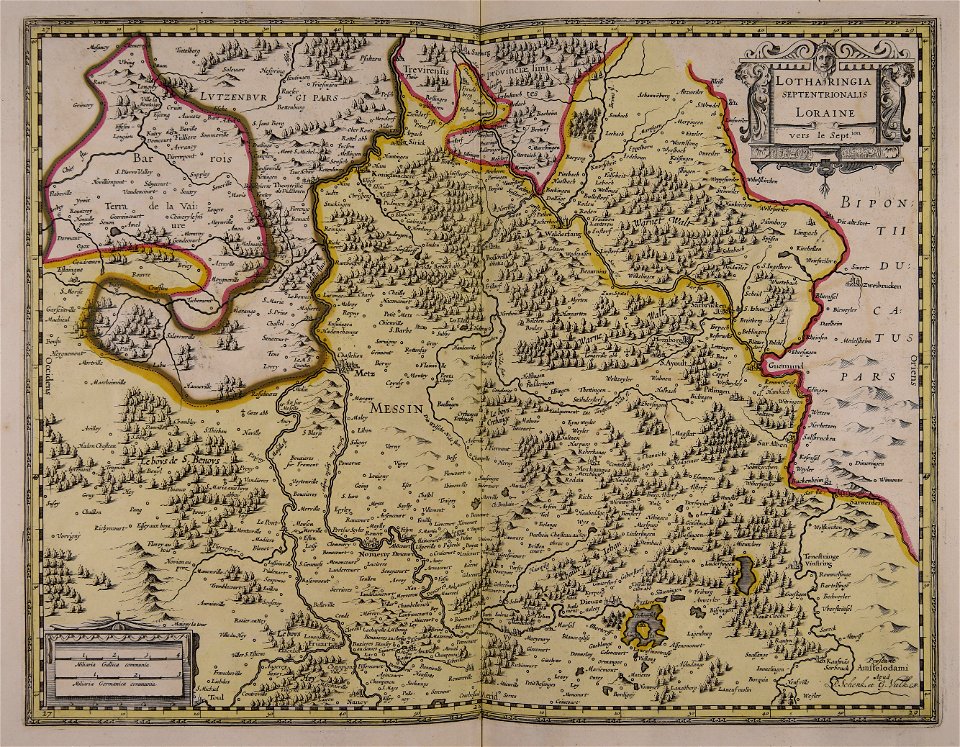
maps by nicolas sanson
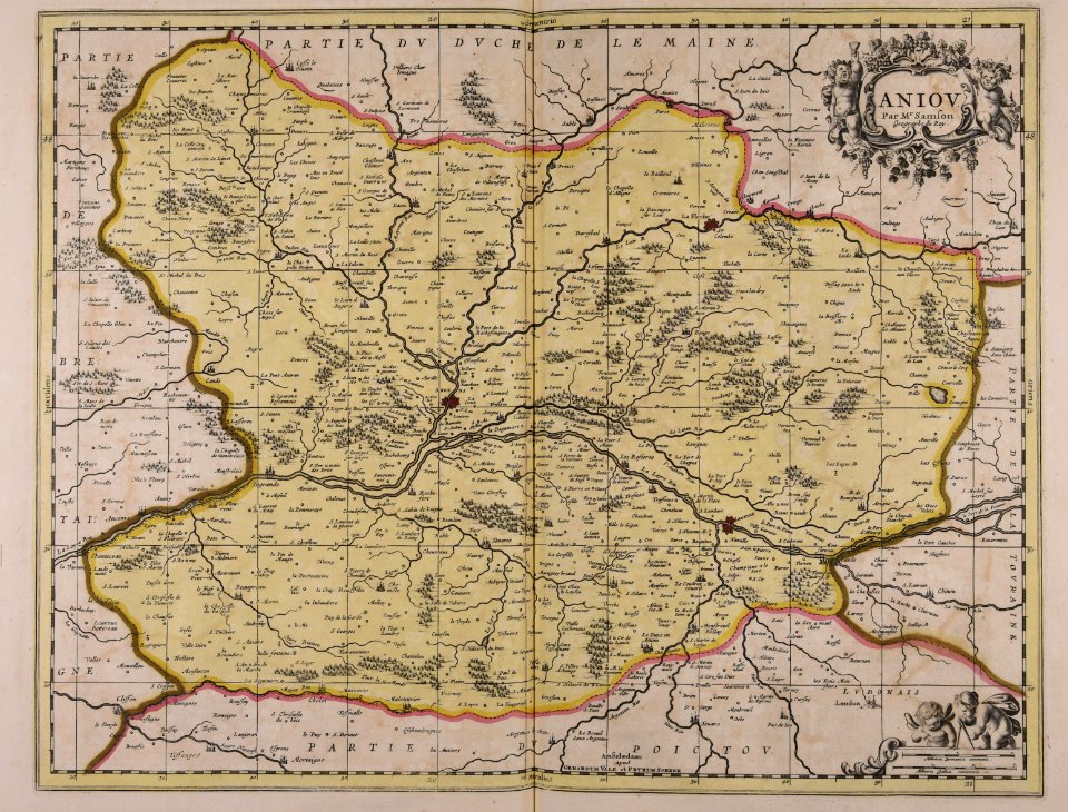
maine-et-loire
maps made in the 17th century
old maps of scandinavia
maps in musée de la compagnie des indes
17th-century engravings
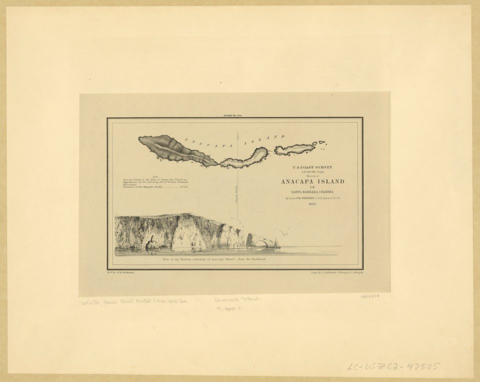
anacapa island
california
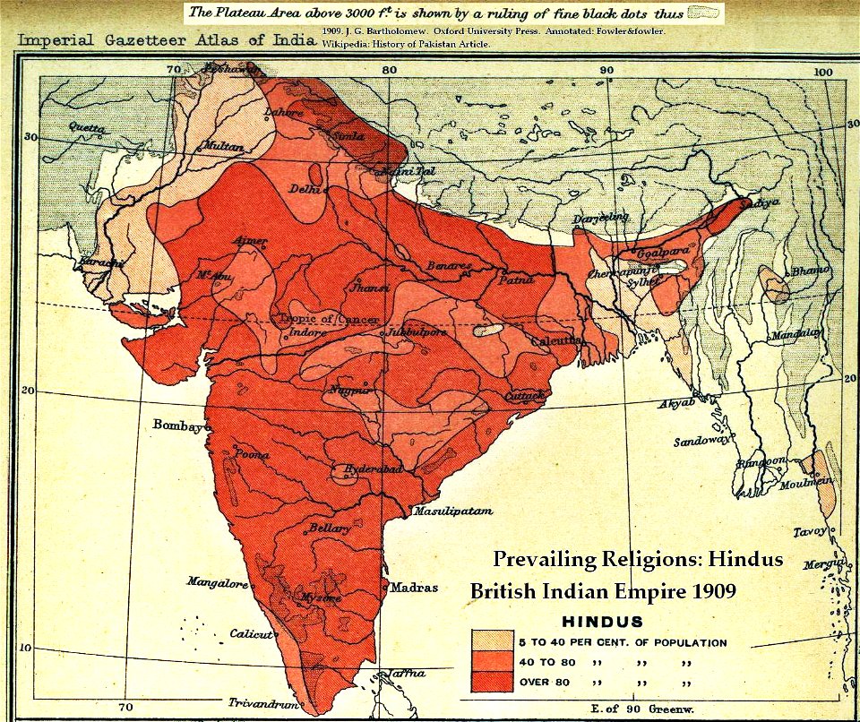
old maps of the indian subcontinent
hindus
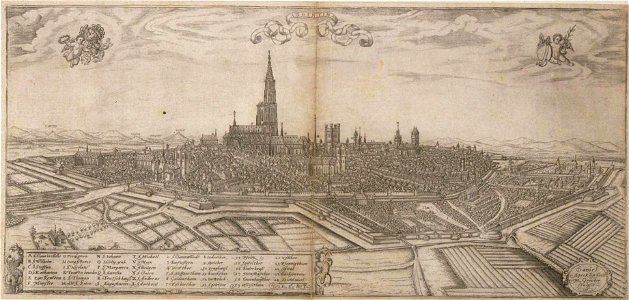
historical remote views of strasbourg
16th-century maps of strasbourg
maps from the mechanical curator collection
british battles on land and sea
maps made in the 17th century
gerard valck
maps made in the 17th century
maps by nicolaes visscher i
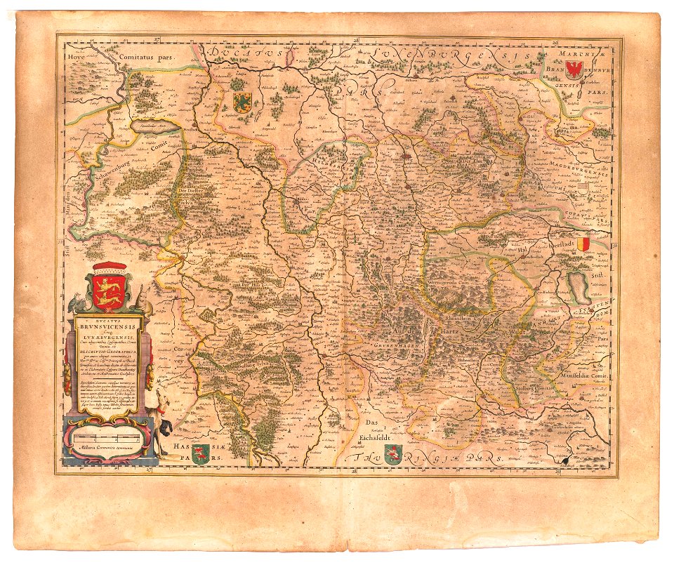
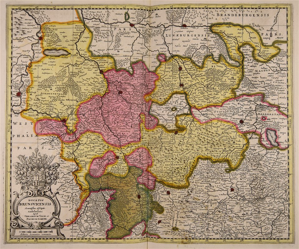
maps of the principality of brunswick-wolfenbüttel
coats of arms on maps
maps made in the 17th century
gerard valck
maps in the library of congress
1861 maps
maps made in the 17th century
gerard valck
people with globes in art
1628 maps
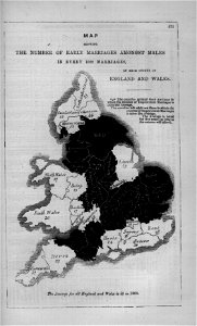
maps in london labour and the london poor (1851)
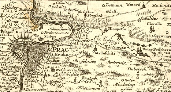
details of müller's map of bohemia
history of hloubětín
charts and maps of the royal museums greenwich
1682 maps
charts and maps of the royal museums greenwich
1682 maps
maps in the library of congress
1863 maps of virginia
maps in the library of congress
1762 maps
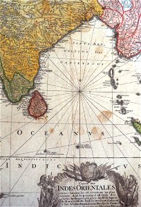
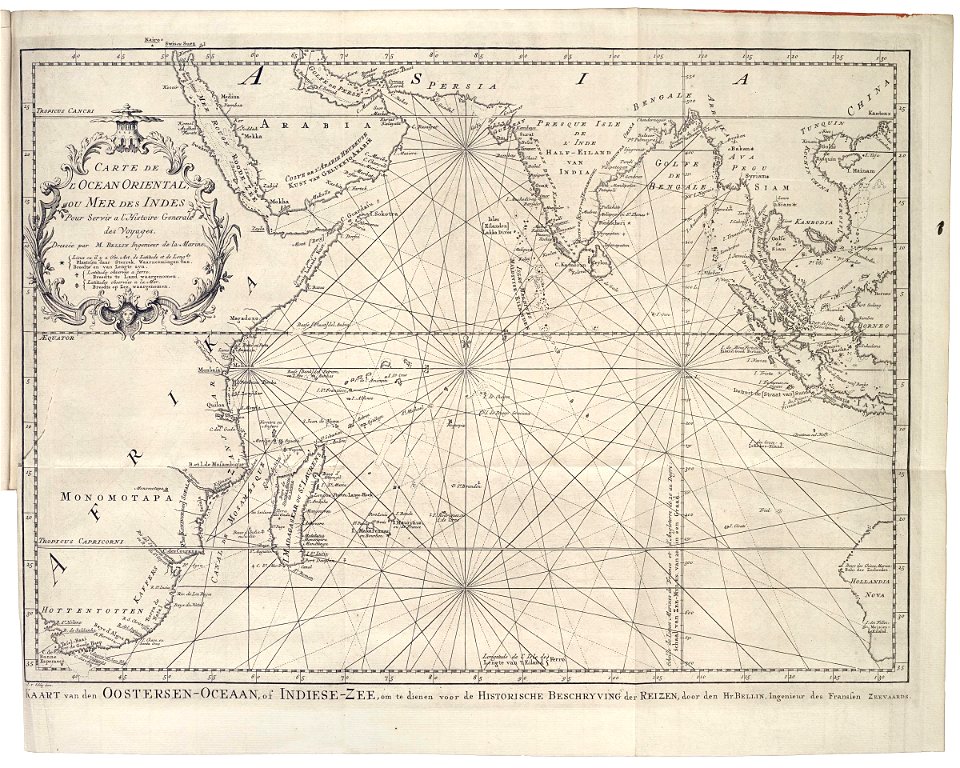
old maps of the indian ocean
robert surcouf
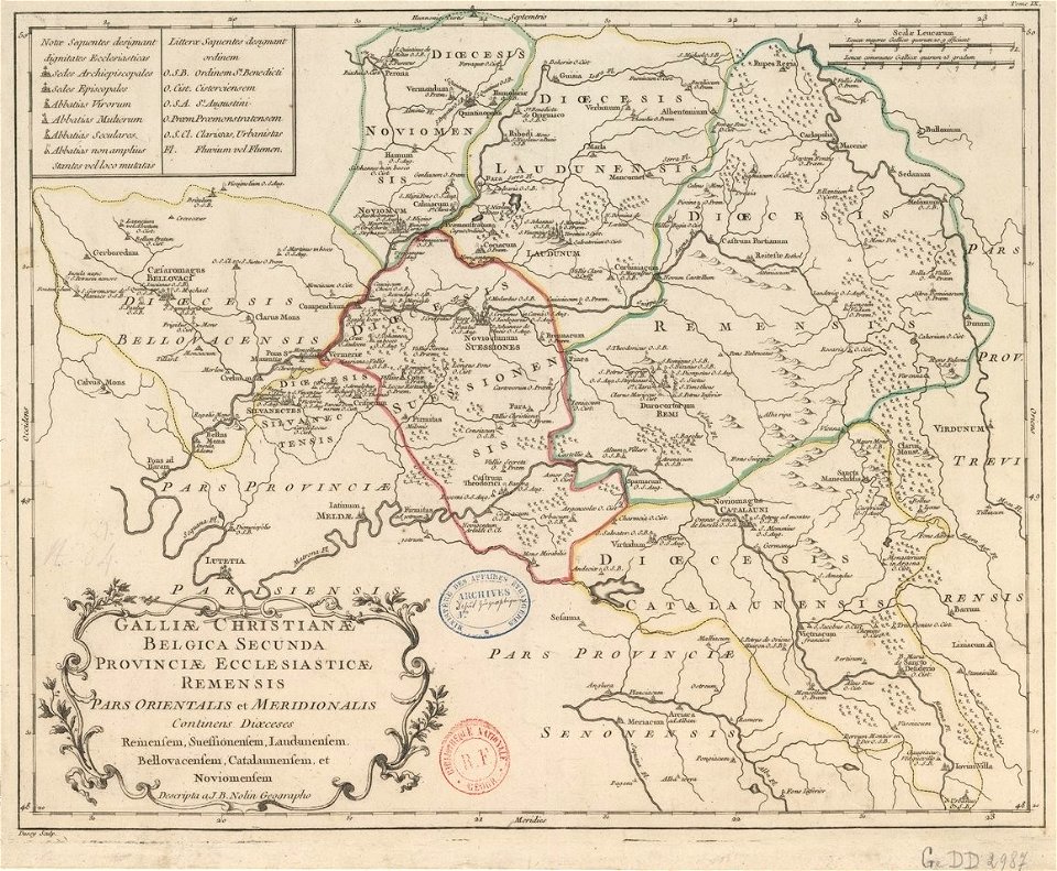
old maps published in the gallia christiana
maps of catholic dioceses of france
old maps published in the gallia christiana
maps of catholic dioceses of france
olfert dapper
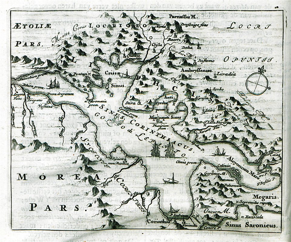
morea
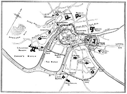
images from bristol past and present (1882)
old maps of bristol
cosmographia (1600) by sebastian münster
1600 maps of iran
charts and maps of the royal museums greenwich
1730 maps
charts and maps of the royal museums greenwich
1621 maps
charts and maps of the royal museums greenwich
1600 maps
charts and maps of the royal museums greenwich
1730 maps
charts and maps of the royal museums greenwich
1589 maps
maps of world war i by the daily telegraph
maps of world war i by the daily telegraph
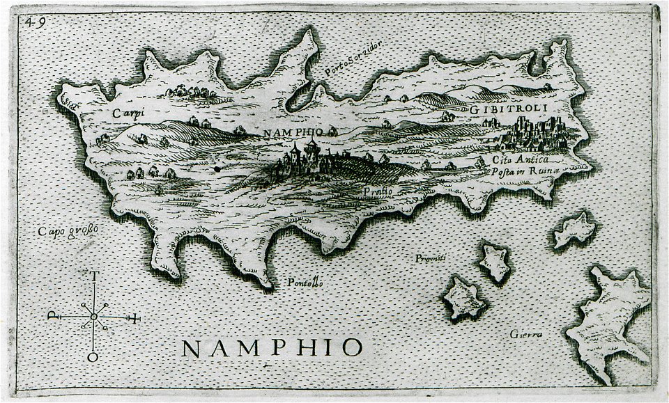
old maps of islands of the aegean sea
giuseppe rosaccio
charts and maps of the royal museums greenwich
1682 maps
maps by royal bavarian land tax commission
old maps of freising
maps by royal bavarian land tax commission
old maps of freising
maps by willem and johannes blaeu
atlas van loon
a map of imola (rcin 912284)
charts and maps of the royal museums greenwich
1682 maps
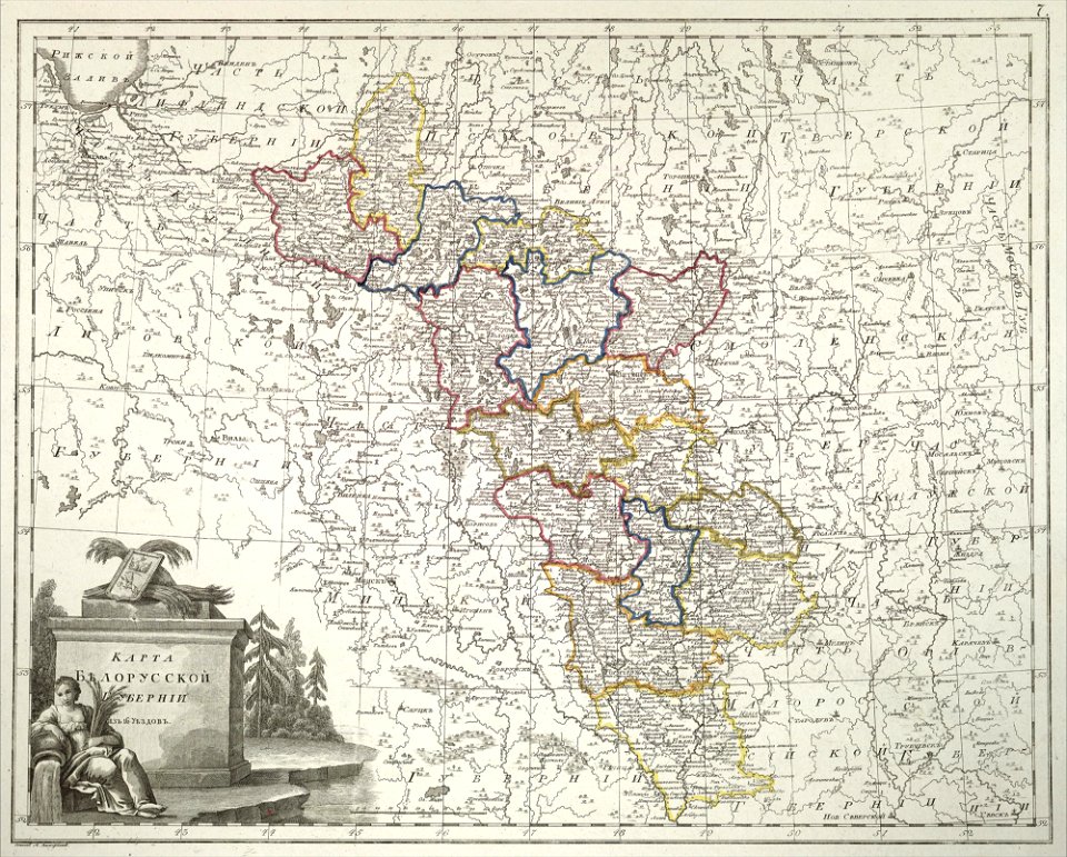
atlas of the russian empire (1800)
old maps of belarus
charts and maps of the royal museums greenwich
1682 maps
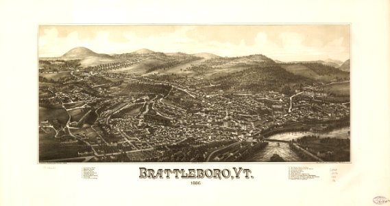
brattleboro
vermont
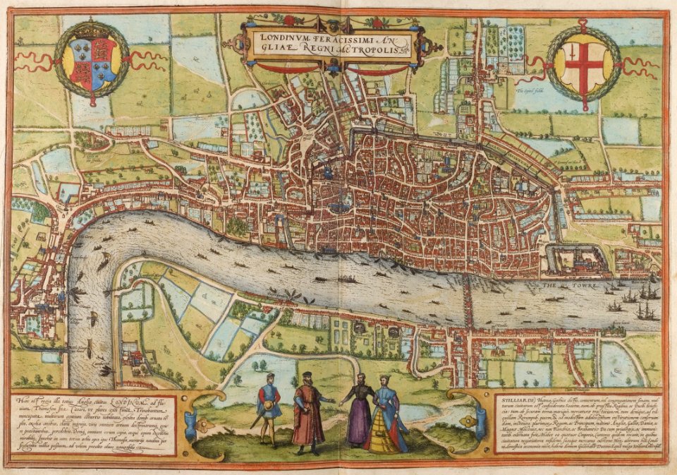
map of london by braun & hogenberg
1572 in london
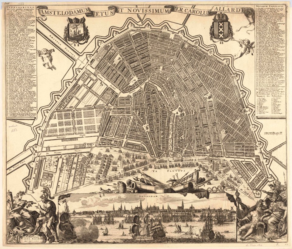
maps in the stadsarchief amsterdam
carolus allard
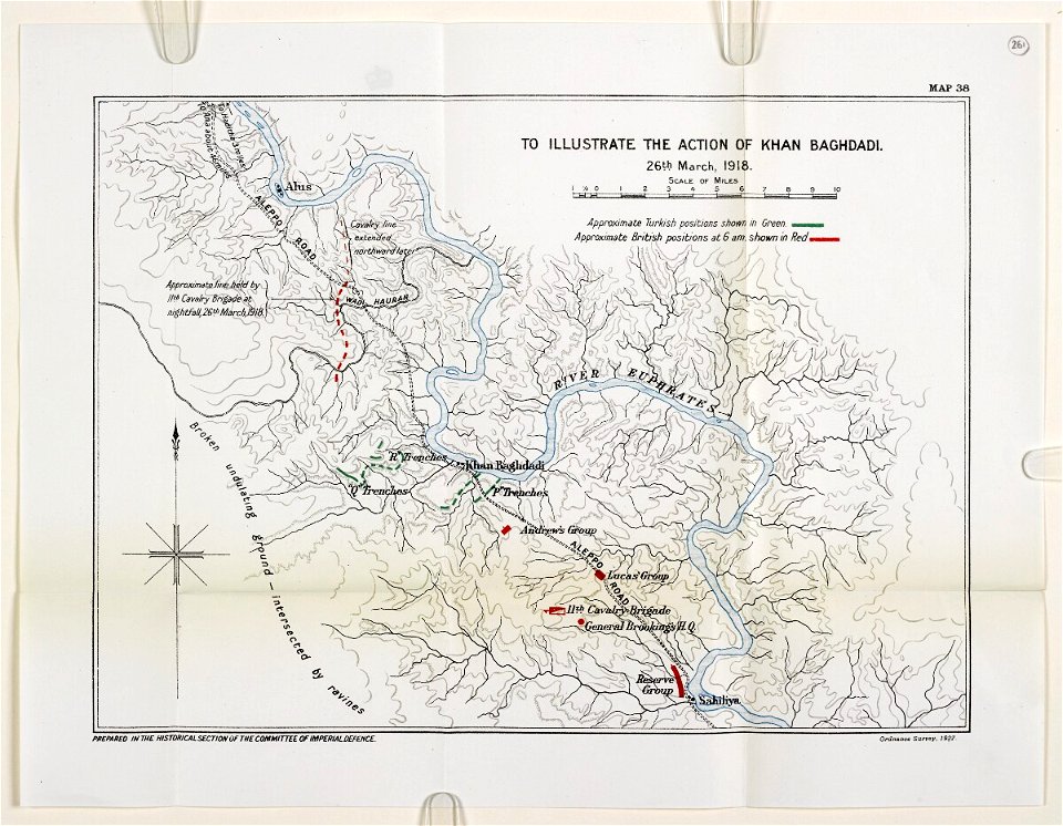
mesopotamian campaign maps of world war i
charts and maps of the royal museums greenwich
1572 maps
charts and maps of the royal museums greenwich
1682 maps
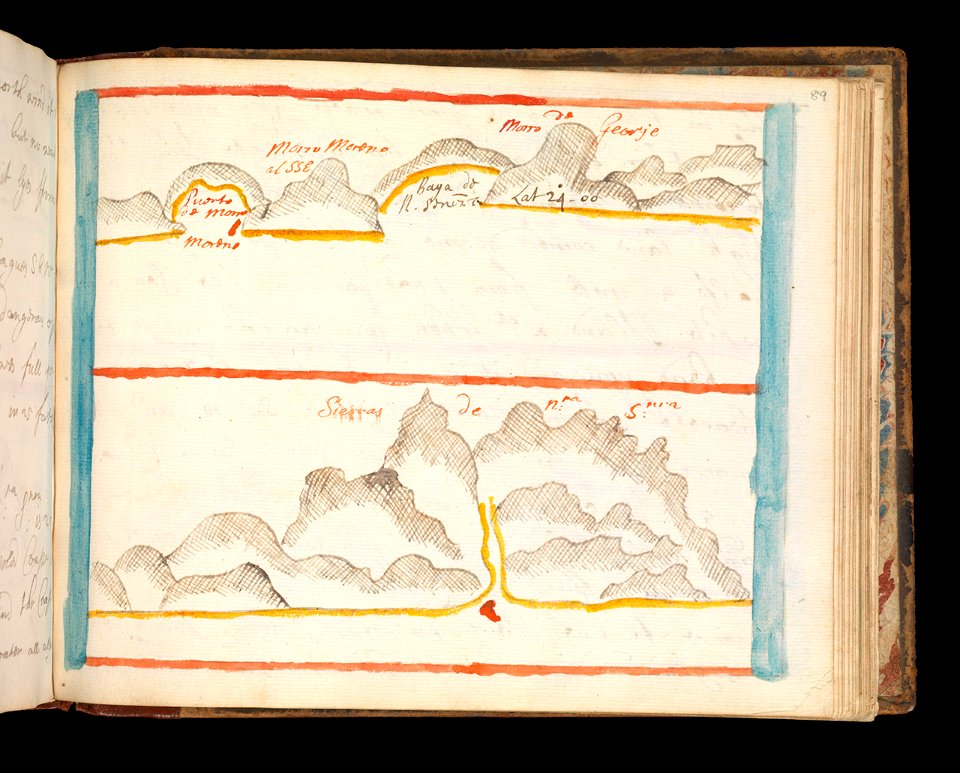
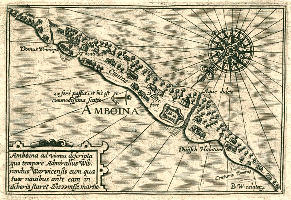
maps of the dutch east india company - indonesia
1614
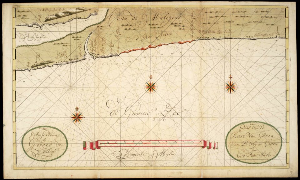
maps of the west-indische compagnie
1705
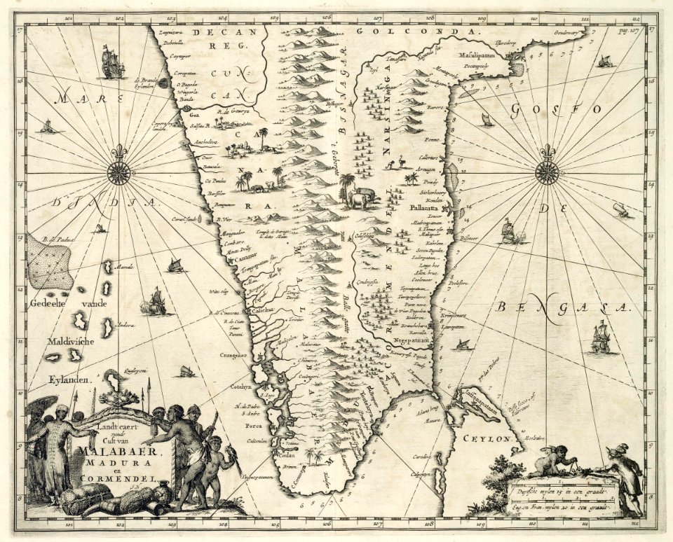
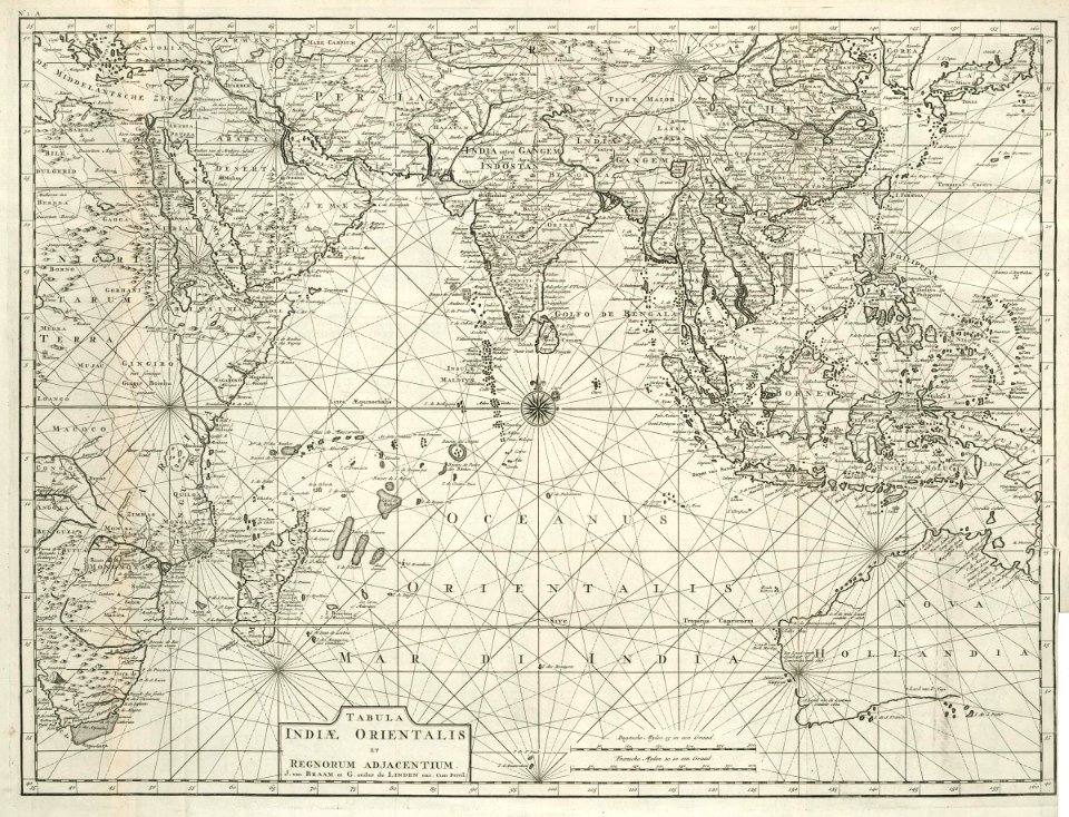
maps of the dutch east india company - india
1682)
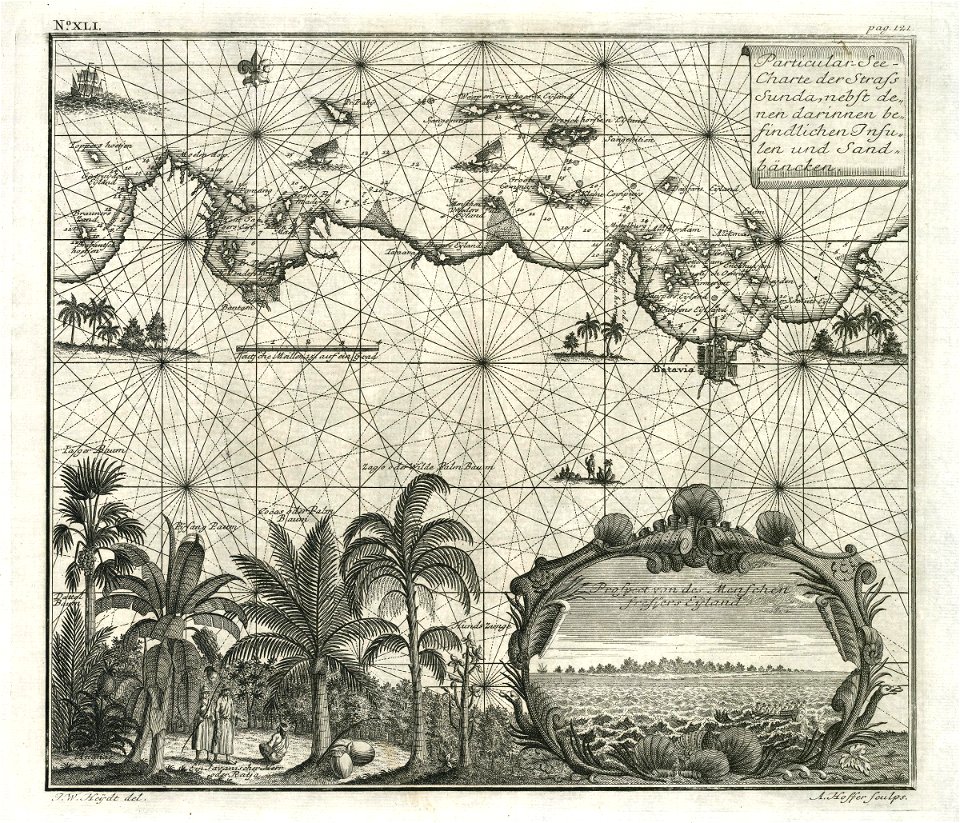
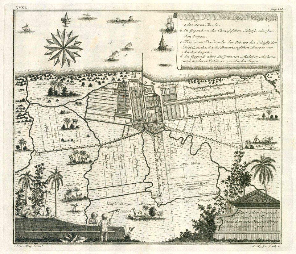
maps of the dutch east india company - indonesia
1744
maps of the dutch east india company - indonesia
1744
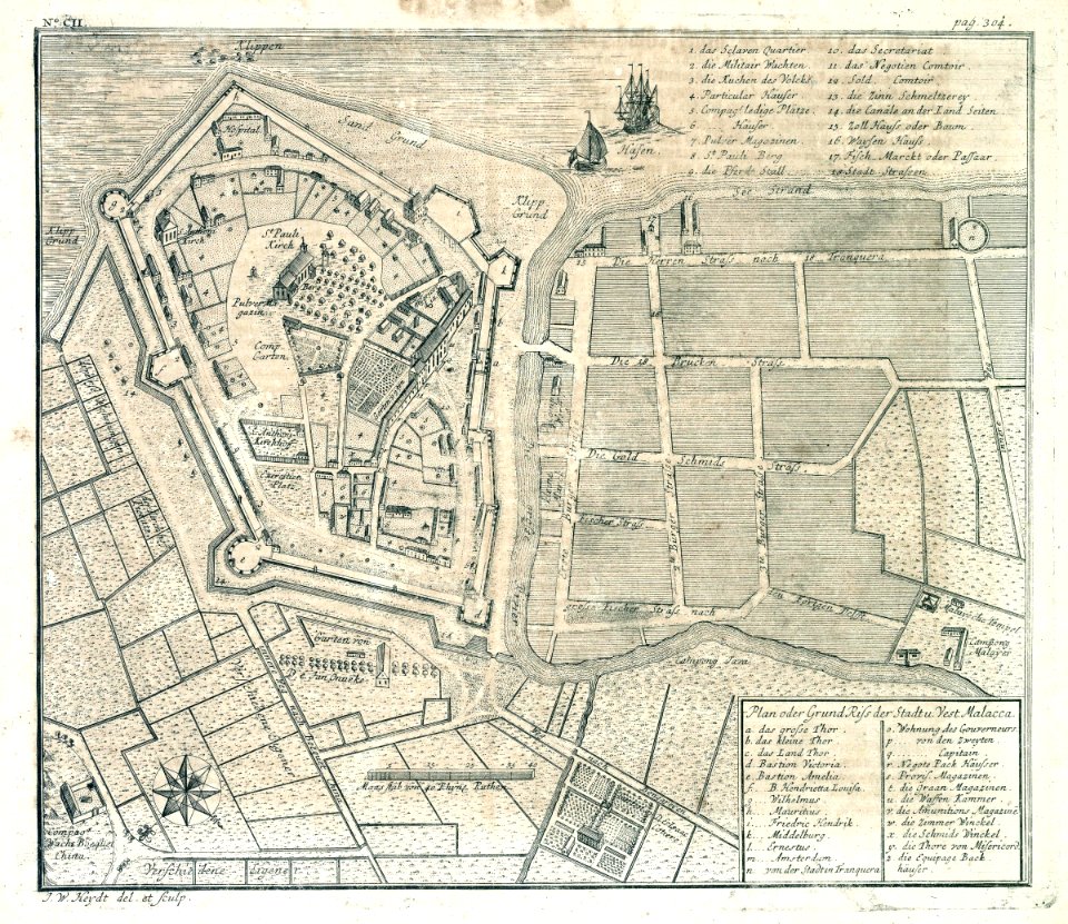
old maps of the dutch east india company - malaysia
1730s
old maps of the dutch east india company
1724
maps of the west-indische compagnie
1716
old maps of the dutch east india company
1747)
7201 - 7300 of 357,630
Next page
/ 3577