Log in
All resources
Create a design
Tools
357,630 Free Images of Maps
charts and maps of the royal museums greenwich
1682 maps
maps in the library of congress
maps of the west-indische compagnie
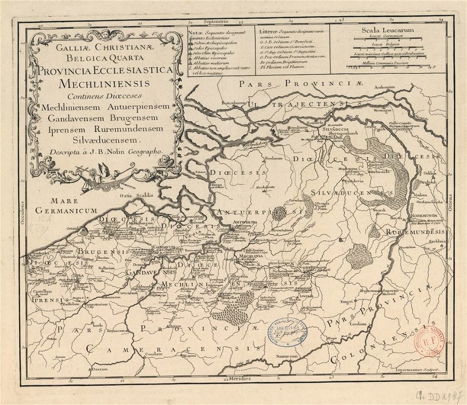
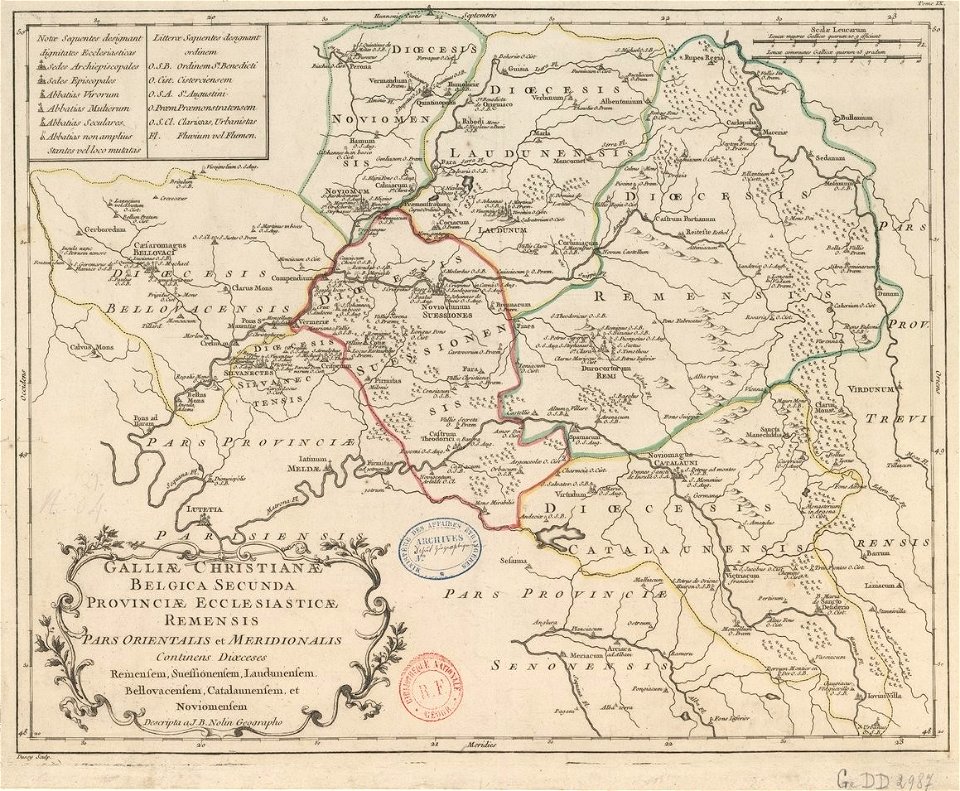
maps of catholic dioceses of france
old maps published in the gallia christiana
maps by brockhaus
old map
old maps of the dutch east india company
maps of the dutch east india company - indonesia
maps from the mechanical curator collection
british battles on land and sea
historical remote views of strasbourg
16th-century maps of strasbourg
maps in musée de la compagnie des indes
17th-century engravings
maps made in the 17th century
maps by nicolaes visscher i
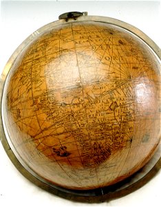
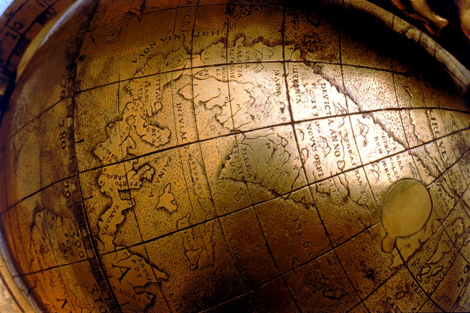
people with globes in art
1628 maps
maps of the principality of brunswick-wolfenbüttel
coats of arms on maps
burg meersburg
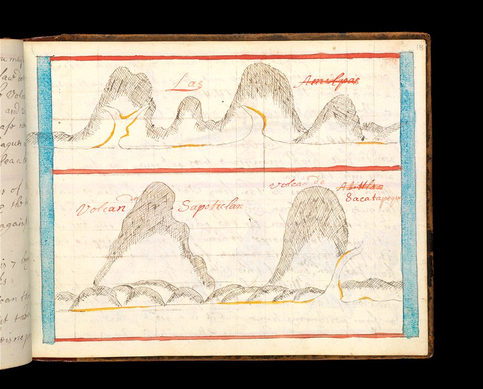
pencil drawing
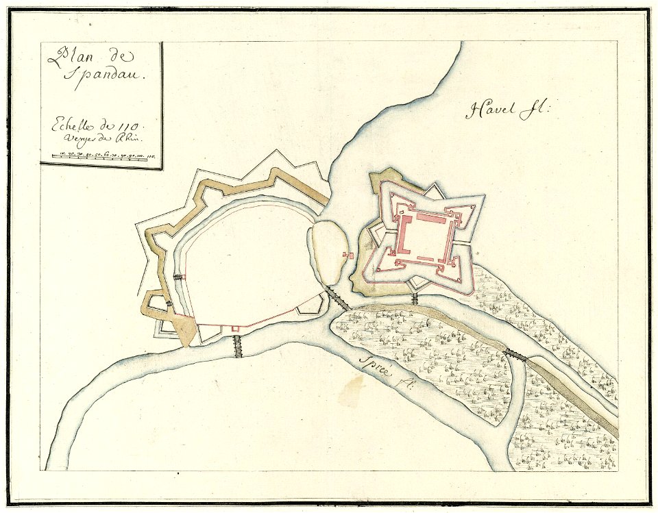
city walls of berlin-spandau
moll's map collection
charts and maps of the royal museums greenwich
1682 maps
charts and maps of the royal museums greenwich
1621 maps
charts and maps of the royal museums greenwich
1550 maps
charts and maps of the royal museums greenwich
1600 maps
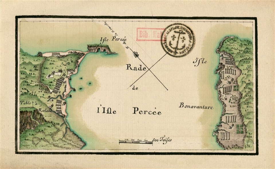
île bonaventure
percé
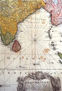
old maps of the indian ocean
robert surcouf
charts and maps of the royal museums greenwich
1915 maps
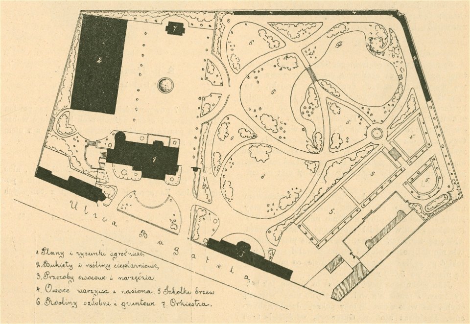
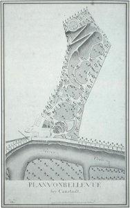
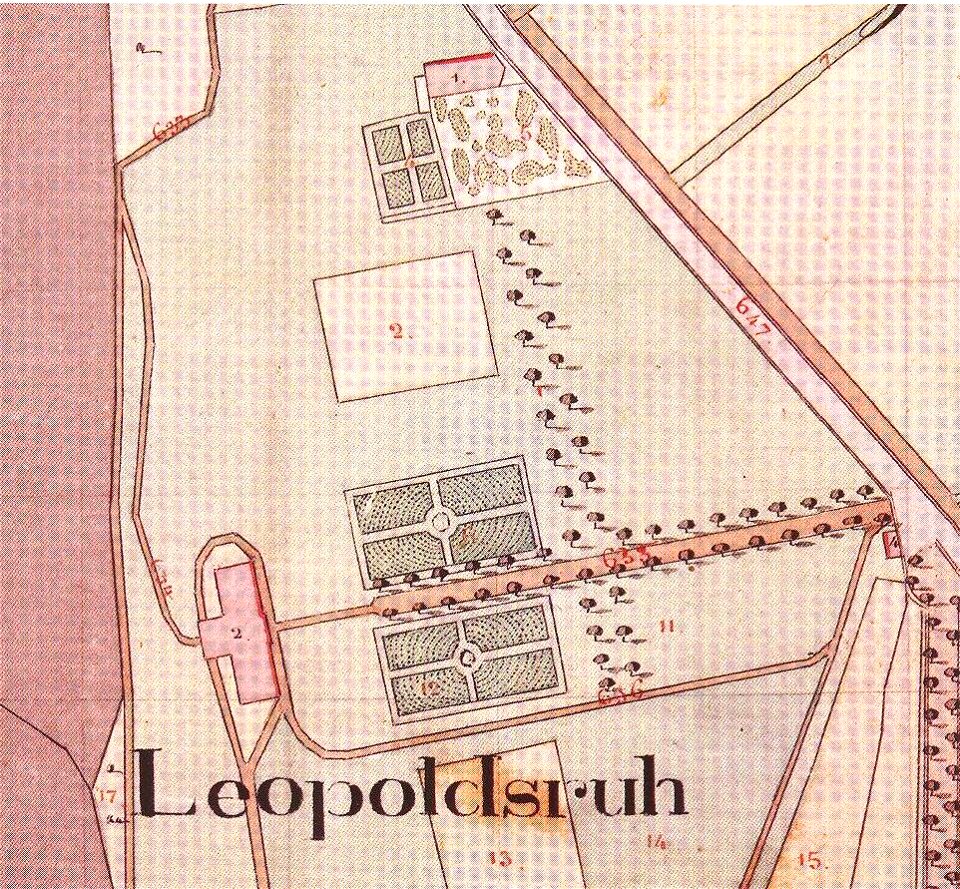
maps of gardens and parks in poland
maps of gardens and parks
old maps published in the gallia christiana
maps of catholic dioceses of france
brockhaus' konversations-lexikon (1892)
maps by brockhaus
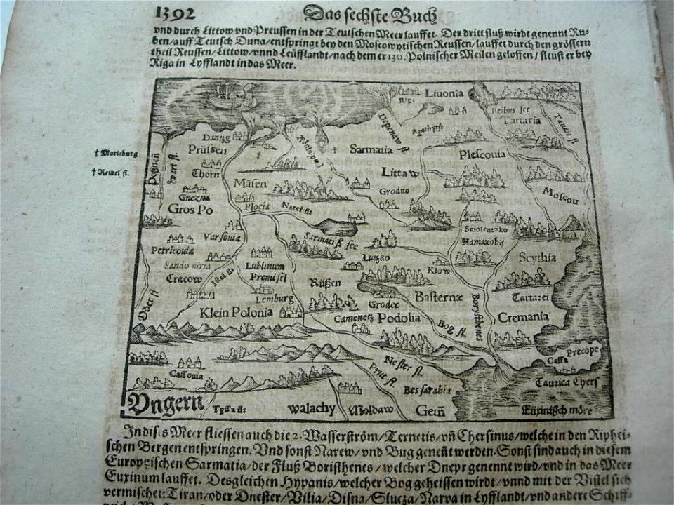
illustrations of cosmographia (münster)
old map
illustrations of cosmographia (münster)
old maps of the world
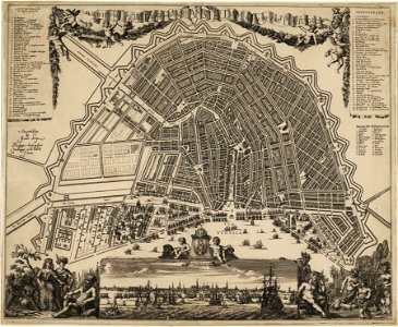
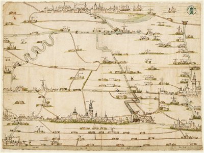
amsterdam in the 1680s
johannes kip
jacques-nicolas bellin
1764 maps
maps in the library of congress
1884 maps of new york (state)
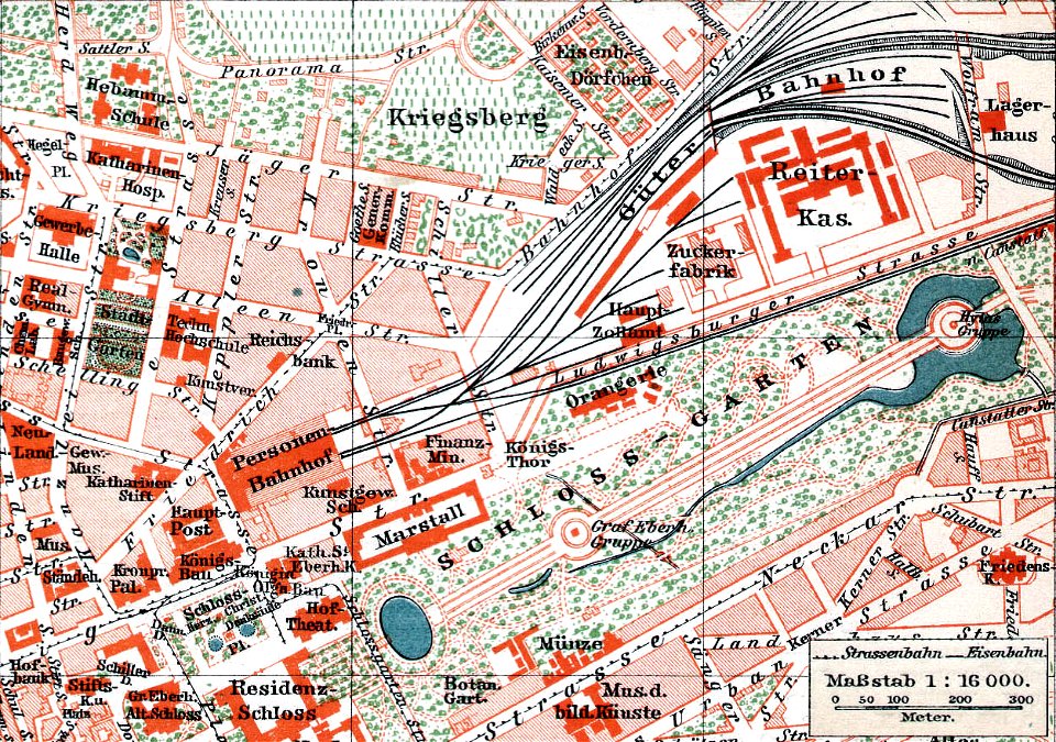
schloss rosenstein
maps of stuttgart
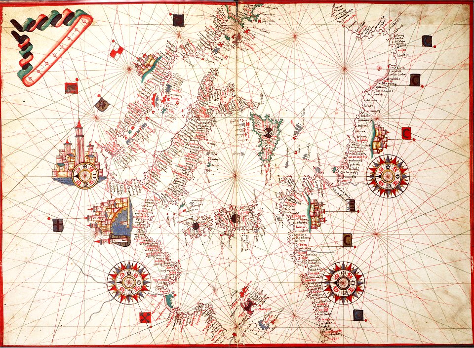
charts and maps of the royal museums greenwich
1682 maps
charts and maps of the royal museums greenwich
1682 maps
charts and maps of the royal museums greenwich
1682 maps
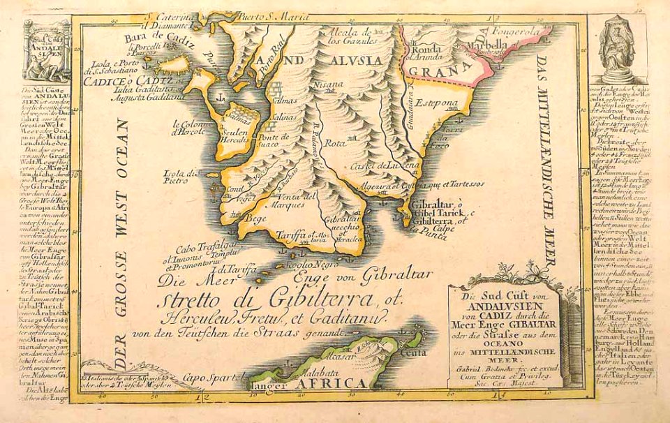
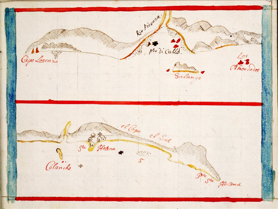
history of andalusia
gabriel bodenehr
old maps of the dutch east india company
1680
old maps of the dutch east india company
1665
maps of the dutch east india company - indonesia
1739
maps of the dutch east india company - indonesia
1739
maps of the dutch east india company - indonesia
1724
maps of the dutch east india company - sri lanka
1730s
maps of the dutch east india company - sri lanka
1730s
maps of the west-indische compagnie
1716
old maps of the dutch east india company
1747)
maps of the west-indische compagnie
1747)
maps of the west-indische compagnie
1720s
maps of the west-indische compagnie
1758
maps of the west-indische compagnie
1747)
maps of the west-indische compagnie
1773
maps of the west-indische compagnie
1750
maps of the dutch east india company - china
1655)
maps of the dutch east india company - india
1682)
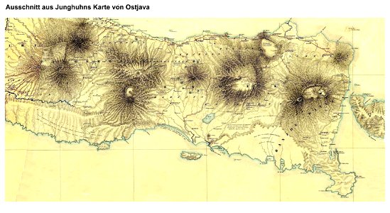
maps by franz wilhelm junghuhn
maps of east java
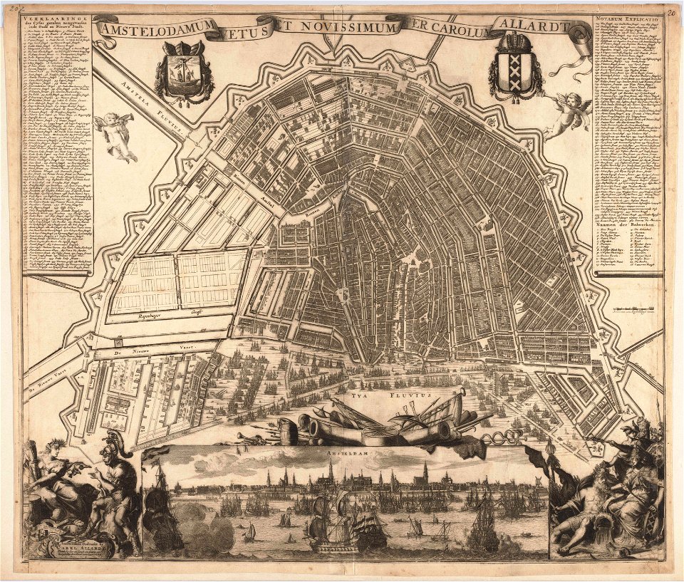
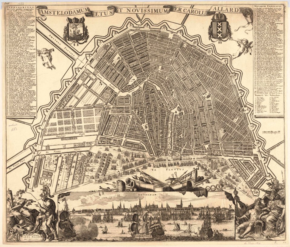
maps in the stadsarchief amsterdam
carolus allard
maps in the stadsarchief amsterdam
carolus allard
society for the diffusion of useful knowledge (great britain)
1840 maps of asia
maps by willem and johannes blaeu
1650 maps of ethiopia
charts and maps of the royal museums greenwich
1682 maps
maps in the british museum
charts and maps of the royal museums greenwich
1551 maps
charts and maps of the royal museums greenwich
1838 maps
charts and maps of the royal museums greenwich
1755 maps
maps of the netherlands
fortification
17th-century maps of the netherlands
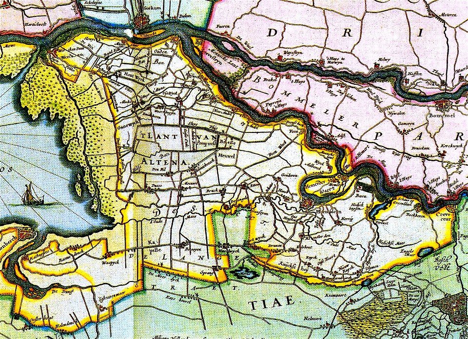
old maps of north brabant
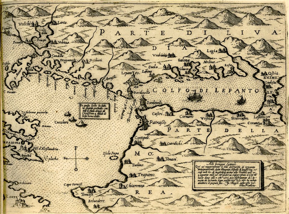
maps of the gulf of corinth
giovanni camocio
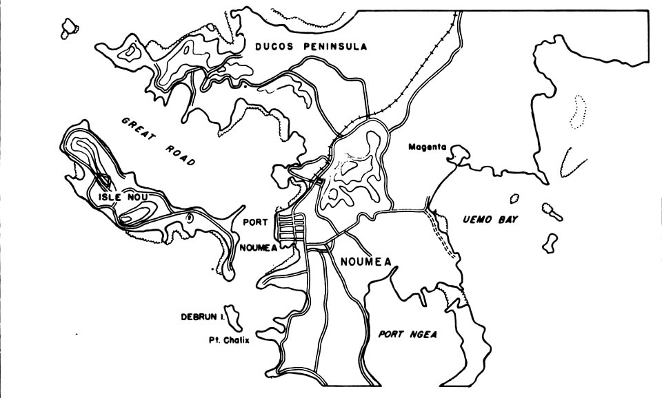
nouméa in world war ii
nouméa
illustrations by robert mcginnis
santa fe trail-maps
maps in london labour and the london poor (1851)
description de l'universe
old map
drawings in the stadsarchief amsterdam
old maps of amsterdam
charts and maps of the royal museums greenwich
1682 maps
charts and maps of the royal museums greenwich
1682 maps
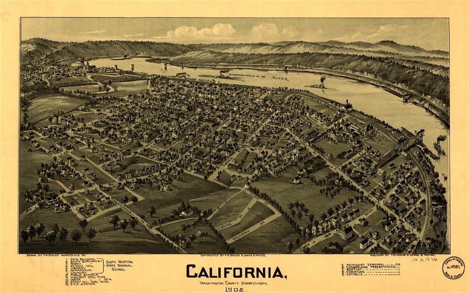
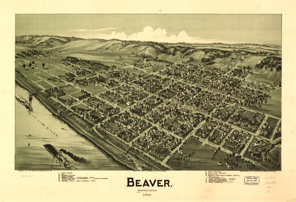
maps in the library of congress
1902 maps of pennsylvania
charts and maps of the royal museums greenwich
1572 maps
coats of arms on maps
old maps of lusatia
maps in the library of congress
pennsylvania
maps in the library of congress
pennsylvania
charts and maps of the royal museums greenwich
1682 maps
maps by brockhaus
old maps of cairo
maps in the stadsarchief amsterdam
carolus allard
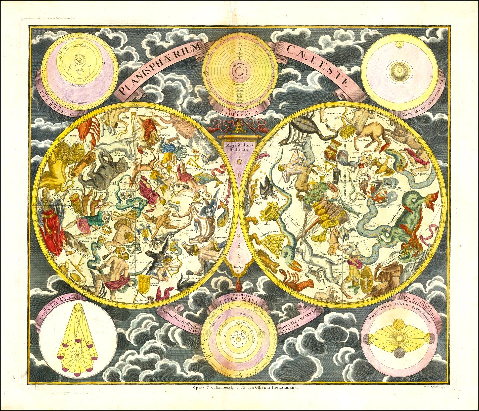
georg christoph eimmart
old celestial maps
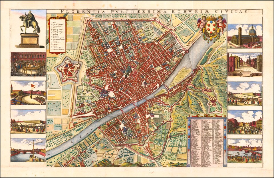
florence in the 1660s
wenzel hollar
paintings in the art gallery of south australia
old map
der neue brockhaus 1937
maps by brockhaus
franciscan cadastral maps of slovenia
cekin mansion
new york
carthage
charts and maps of the royal museums greenwich
1682 maps
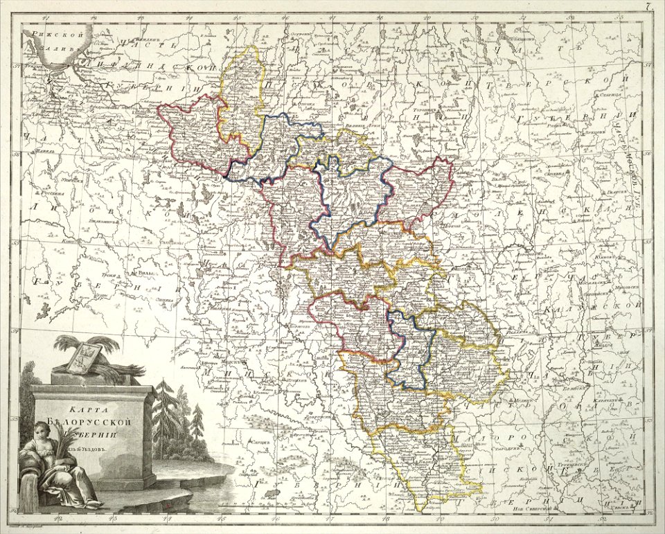
atlas of the russian empire (1800)
old maps of belarus
charts and maps of the royal museums greenwich
1682 maps
charts and maps of the royal museums greenwich
1682 maps
maps in the library of congress
1762 maps
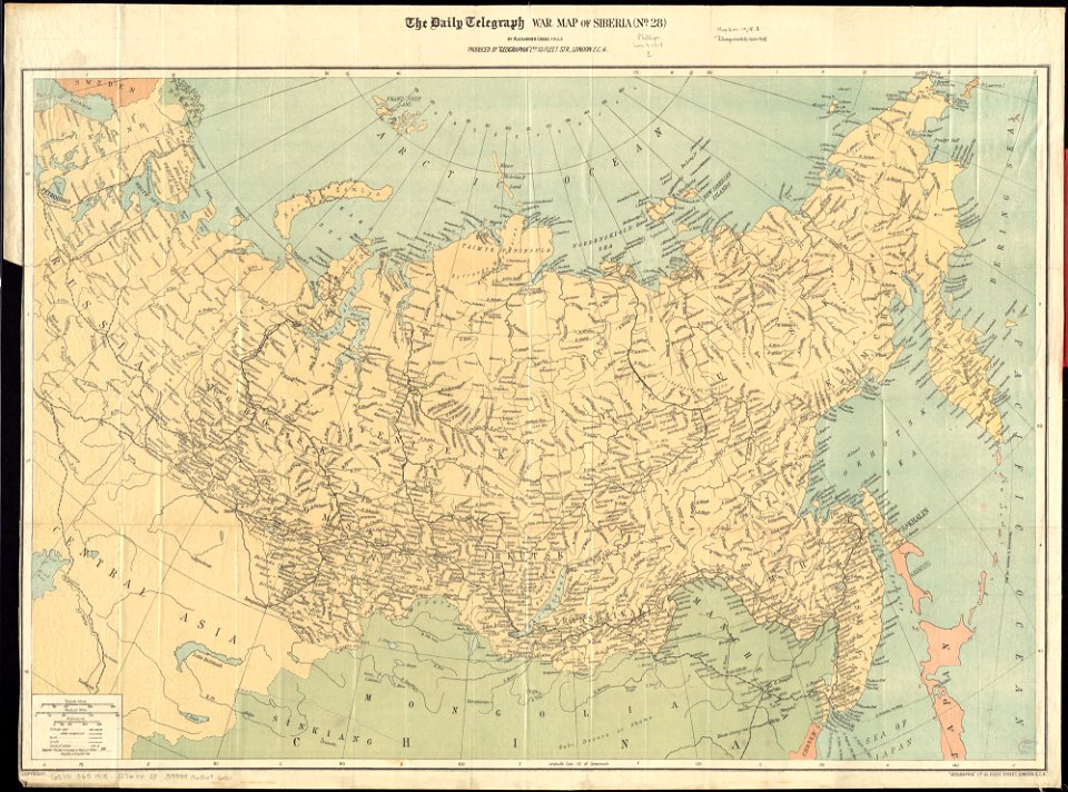
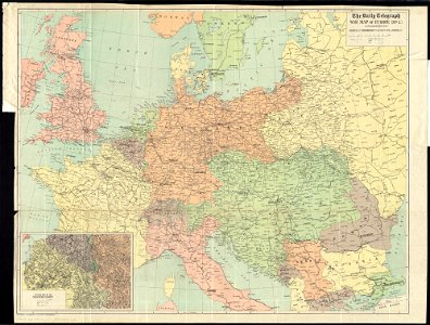
maps of world war i by the daily telegraph
maps of world war i by the daily telegraph
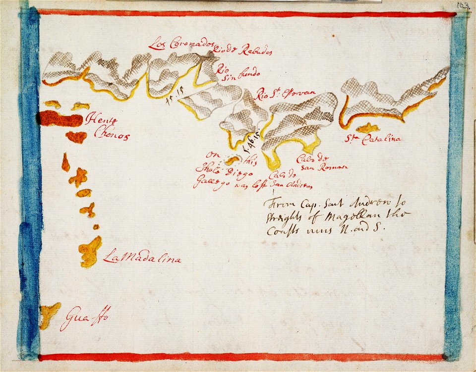
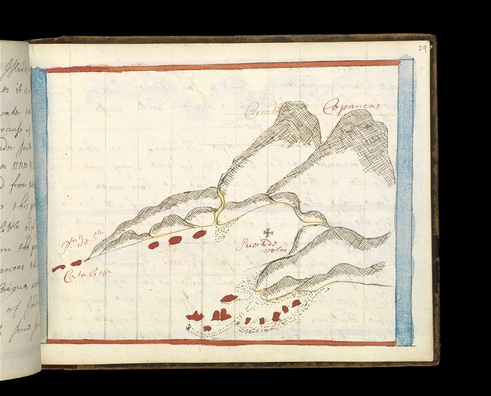
old maps of the indian ocean
robert surcouf
maps in the library of congress
1863 maps of virginia
charts and maps of the royal museums greenwich
1730 maps
charts and maps of the royal museums greenwich
1621 maps
charts and maps of the royal museums greenwich
1600 maps
charts and maps of the royal museums greenwich
1730 maps
charts and maps of the royal museums greenwich
1589 maps
old maps published in the gallia christiana
maps of catholic dioceses of france
old maps published in the gallia christiana
maps of catholic dioceses of france
maps by willem and johannes blaeu
atlas van loon
a map of imola (rcin 912284)
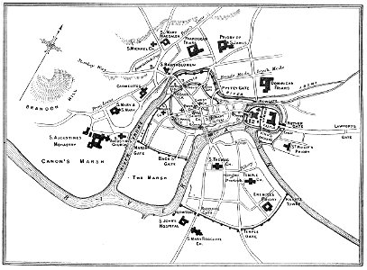
images from bristol past and present (1882)
old maps of bristol
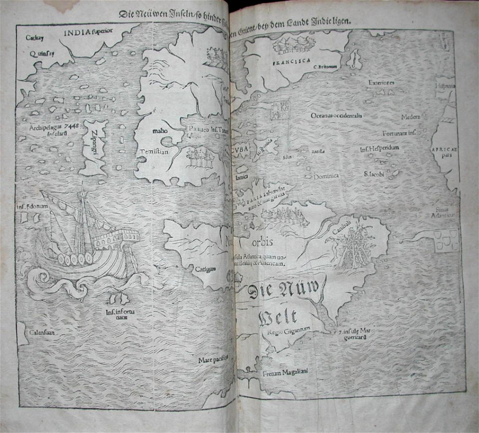
cosmographia (1600) by sebastian münster
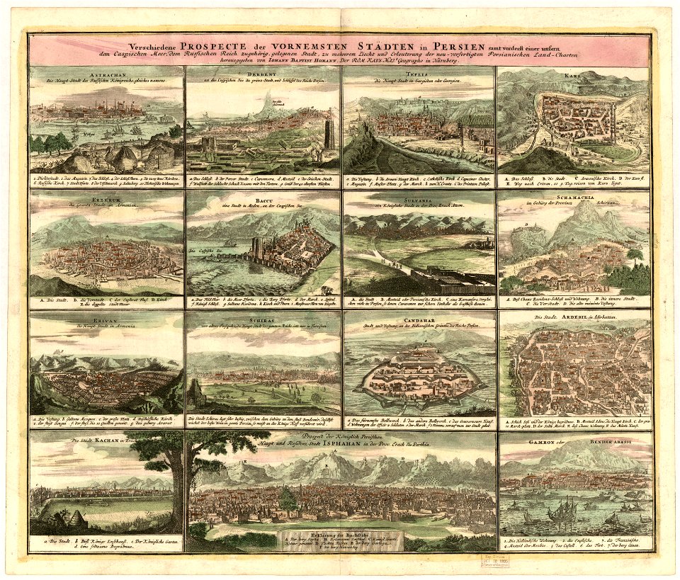
1600 maps of iran
charts and maps of the royal museums greenwich
1682 maps
7301 - 7400 of 357,630
Next page
/ 3577