Log in
All resources
Create a design
Tools
357,630 Free Images of Maps
pages with maps
cc-zero
quality images
quality images by jebulon
quality images missing sdc depicts
architecture
valued images sorted by promotion date
valued images missing sdc depicts
valued images by jebulon
charts and maps of the royal museums greenwich
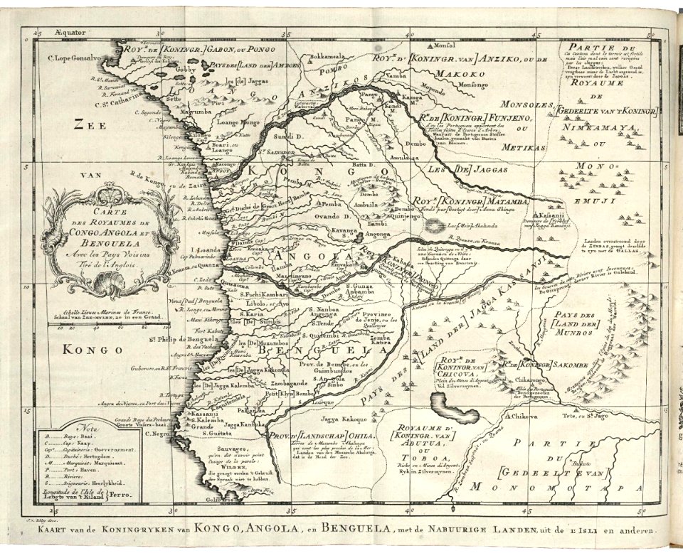
old maps of the dutch east india company
1747)
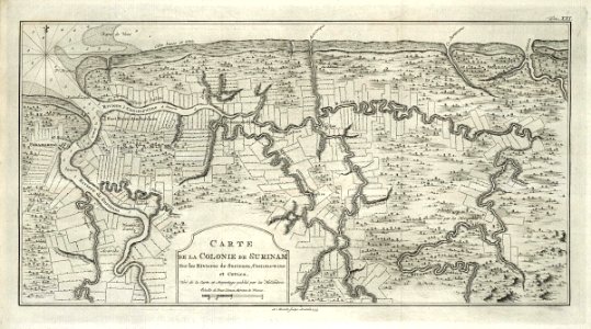
maps of the west-indische compagnie
1747)
maps of the west-indische compagnie
1720s
maps of the west-indische compagnie
1758
maps of the west-indische compagnie
1747)
maps of the west-indische compagnie
1773
maps of the west-indische compagnie
1750
maps of the dutch east india company - china
1655)
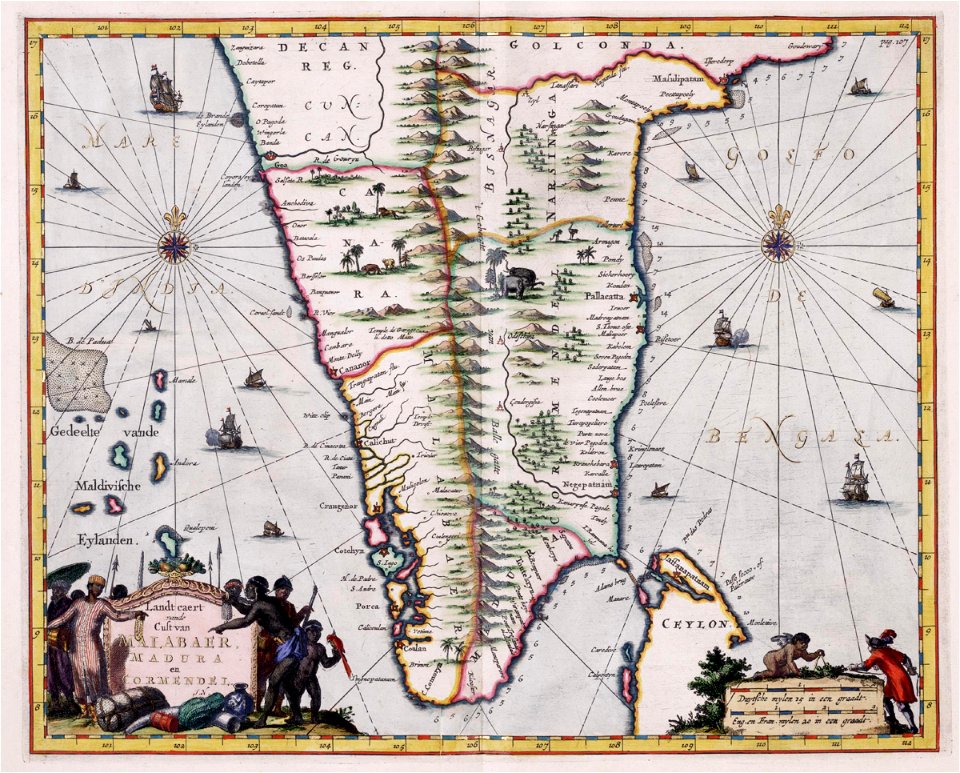
maps of the dutch east india company - india
1682)
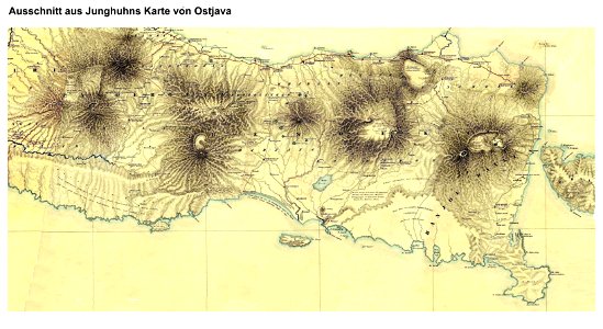
maps by franz wilhelm junghuhn
maps of east java
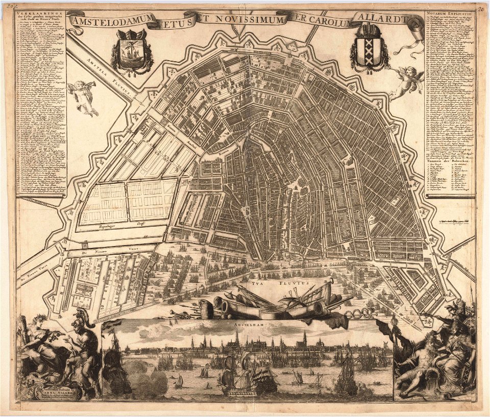
maps in the stadsarchief amsterdam
carolus allard
maps in the stadsarchief amsterdam
carolus allard
society for the diffusion of useful knowledge (great britain)
1840 maps of asia
maps by willem and johannes blaeu
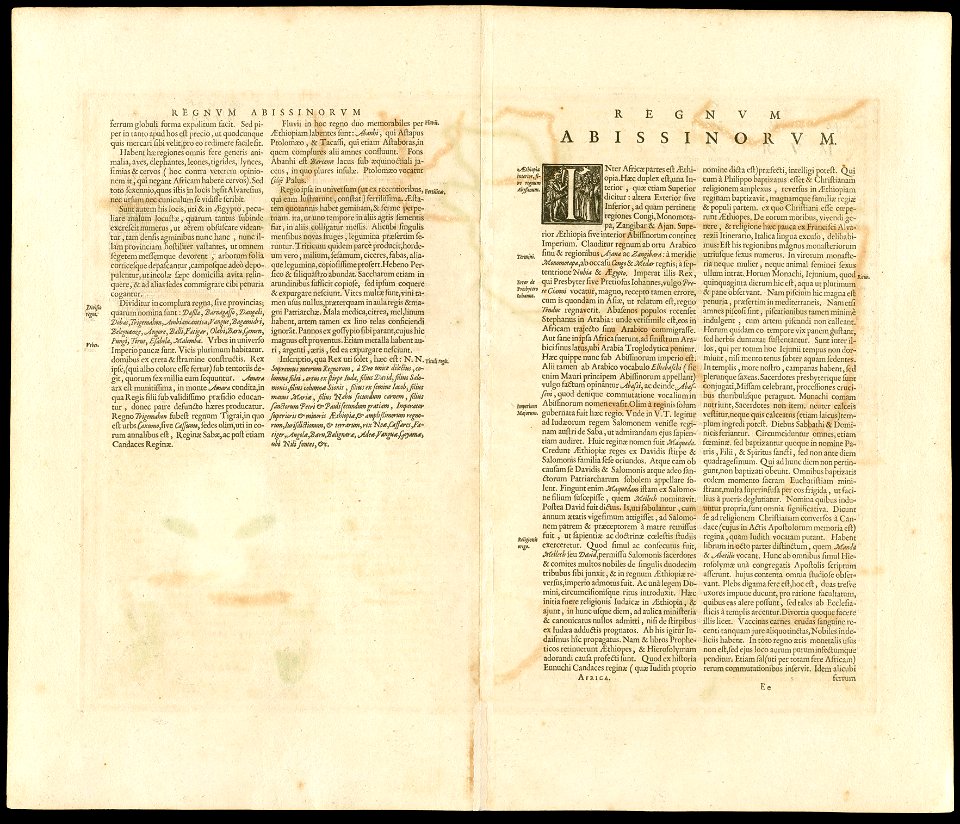
1650 maps of ethiopia
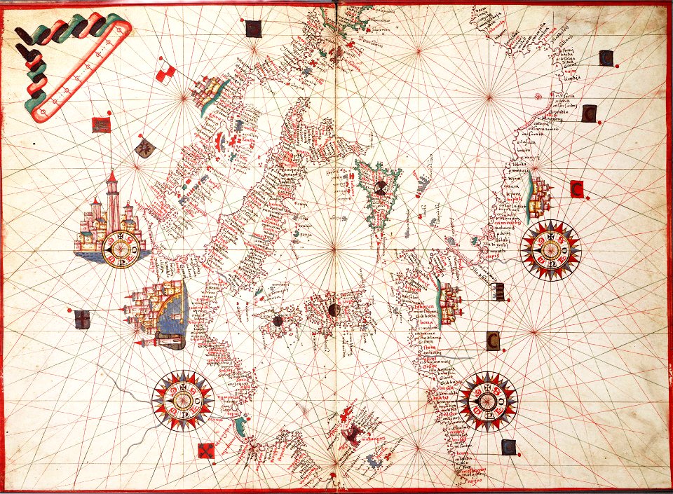
charts and maps of the royal museums greenwich
1682 maps
maps in the british museum
charts and maps of the royal museums greenwich
1551 maps
charts and maps of the royal museums greenwich
1838 maps
charts and maps of the royal museums greenwich
1755 maps
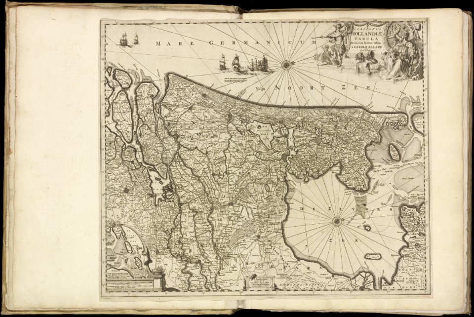
maps of the netherlands
fortification
17th-century maps of the netherlands
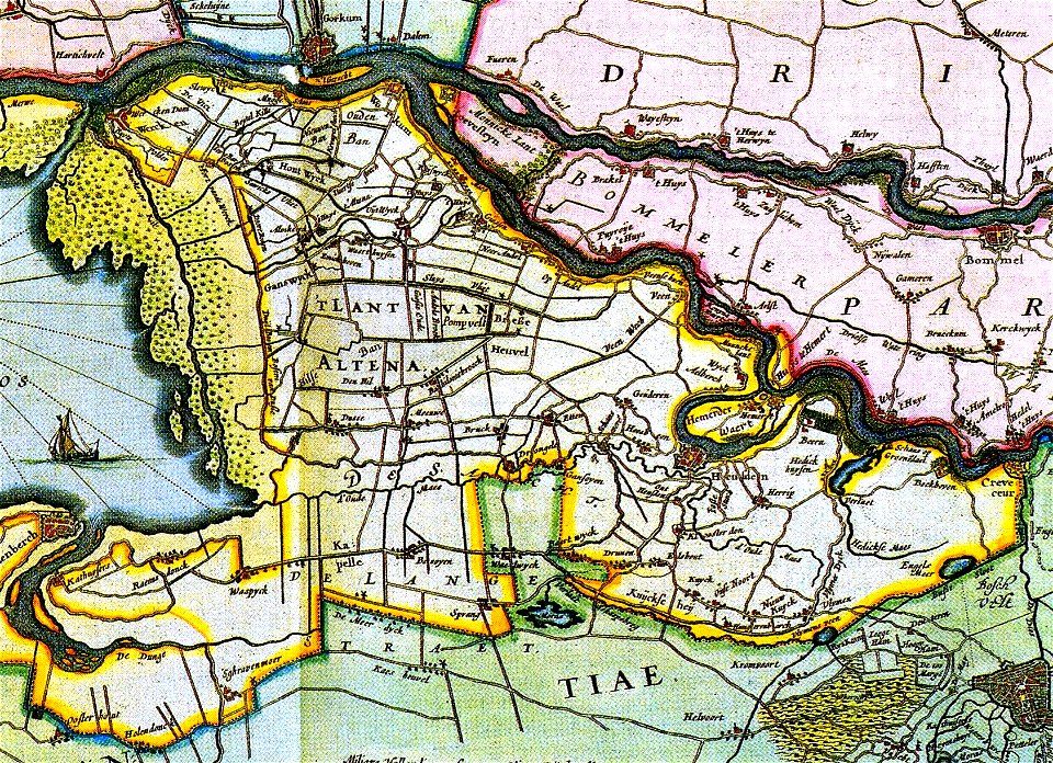
old maps of north brabant
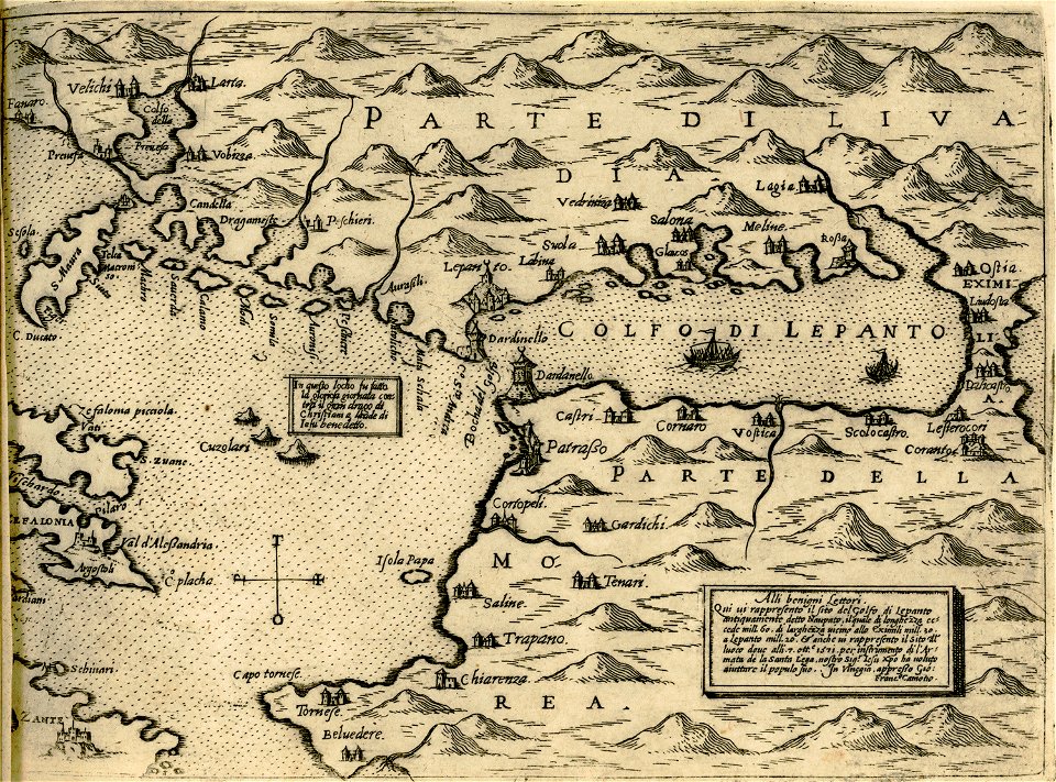
maps of the gulf of corinth
giovanni camocio
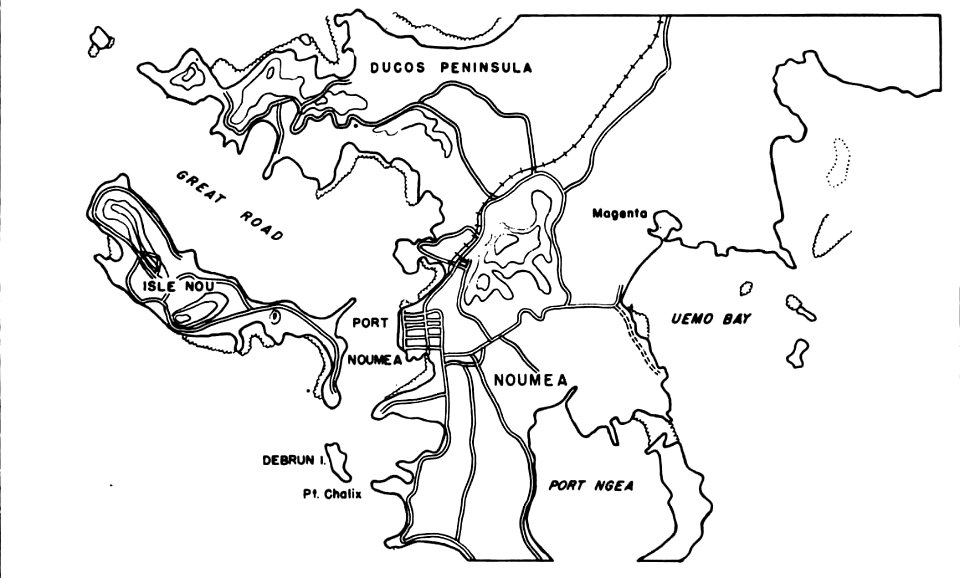
nouméa in world war ii
nouméa
illustrations by robert mcginnis
santa fe trail-maps
maps in london labour and the london poor (1851)
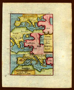
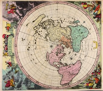
description de l'universe
old map
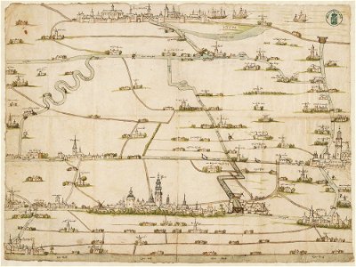
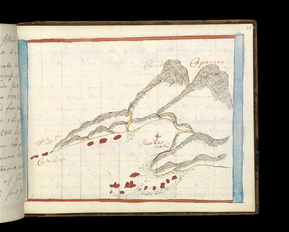
drawings in the stadsarchief amsterdam
old maps of amsterdam
charts and maps of the royal museums greenwich
1682 maps
charts and maps of the royal museums greenwich
1682 maps
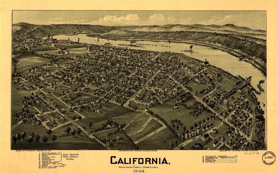
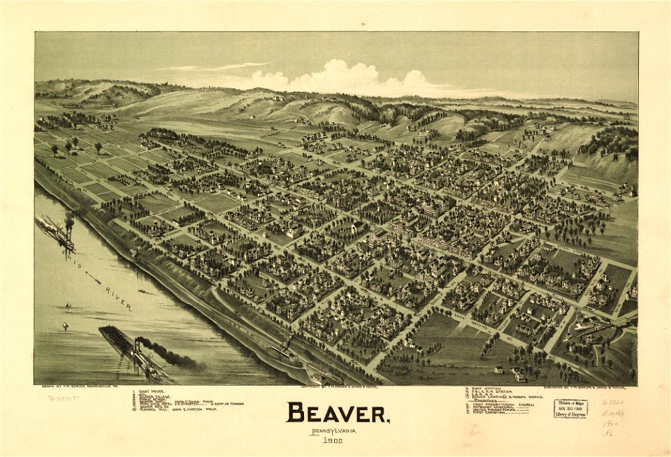
maps in the library of congress
1902 maps of pennsylvania
charts and maps of the royal museums greenwich
1572 maps
coats of arms on maps
old maps of lusatia
maps in the library of congress
pennsylvania
maps in the library of congress
pennsylvania
charts and maps of the royal museums greenwich
1682 maps
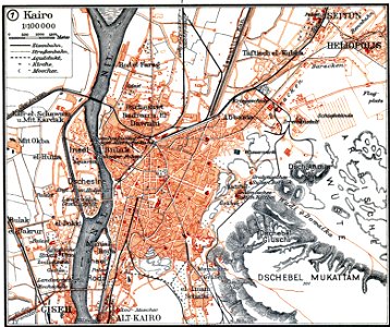
maps by brockhaus
old maps of cairo
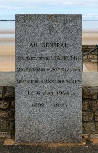
arromanches-les-bains
self-published work
architecture
color
animals
water
skyline
travel
objects with black background
self-published work
self-published work
pages with maps
water
boat
architecture
grass
skyline
travel
architecture
travel
architecture
ave maria
vehicle
wtfpl
crypte de la basilique saint-eutrope de saintes
architecture
self-published work
facade
chamber of commerce
men wearing glasses
skyline
city
self-published work
kerameikos
arthropods of margarita island
animals
self-published work
pages with maps
self-published work
pages with maps
february 2016 denmark photographs
street scene
architecture
grass
light
night
self-published work
architecture
february 2016 denmark photographs
architecture
self-published work
architecture
self-published work
architecture
architecture
facade
architecture
travel
architecture
city
architecture
interior
architecture
light
self-published work
architecture
architecture
travel
architecture
village
self-published work
architecture
architecture
town
cityscape
city
self-published work
architecture
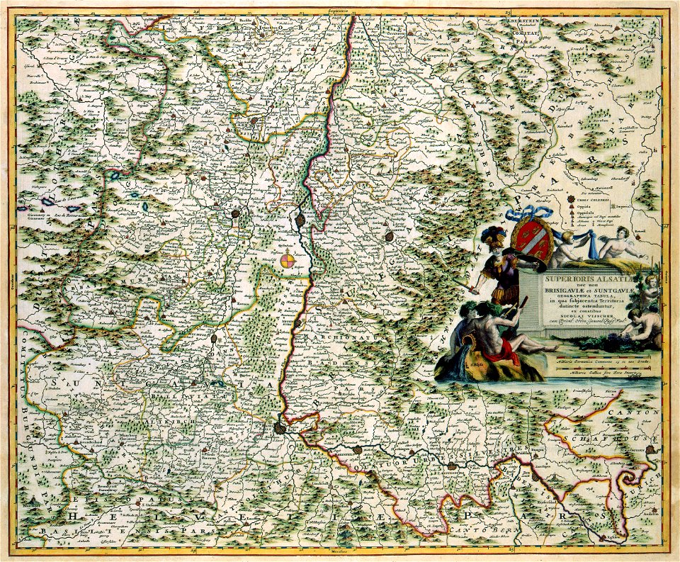
maps
ball
space
maps
earth
maps
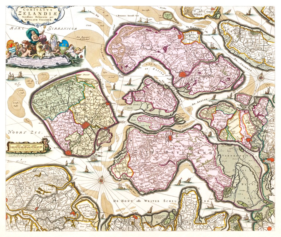
maps with cartouches
atlas van der hagen
cornell university library
puritan
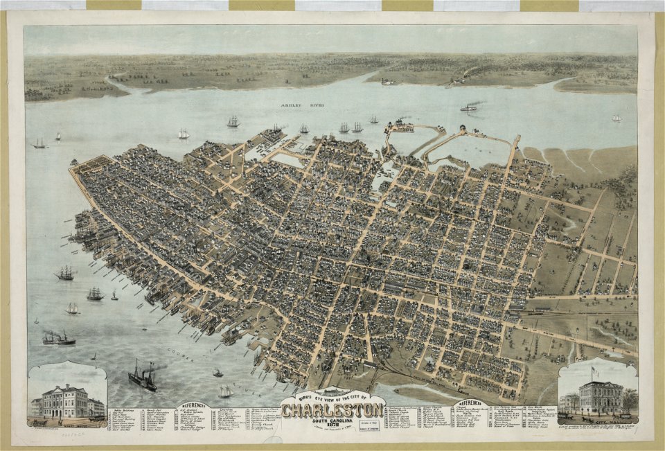
south carolina
charleston
world
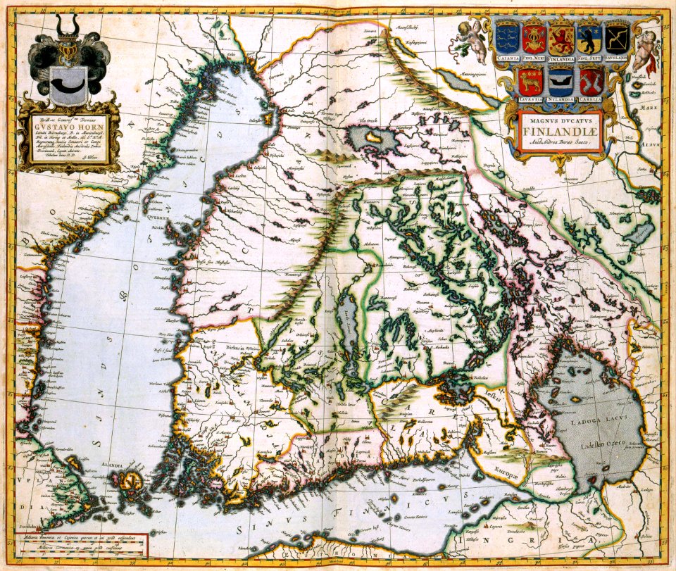
maps
maps with cartouches
atlas van der hagen
maps with cartouches
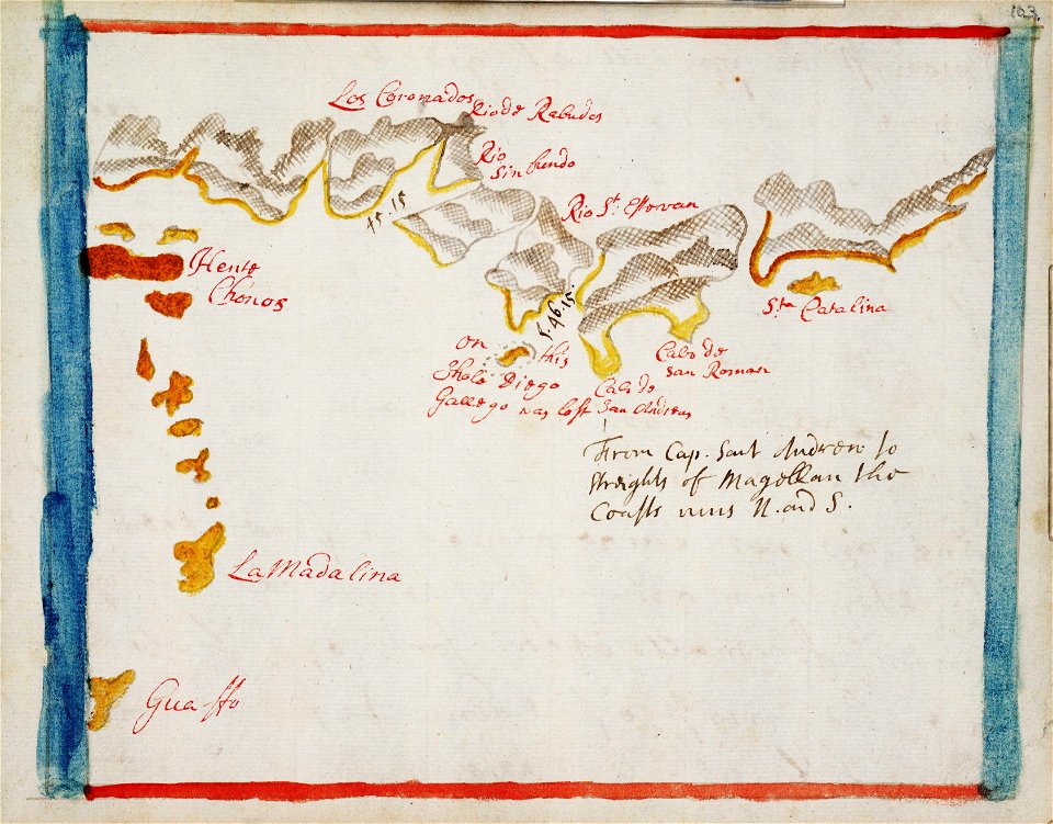
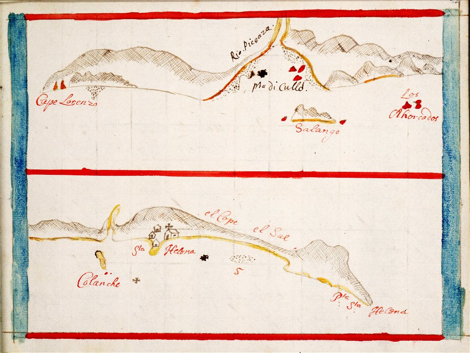
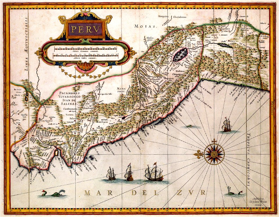
old maps of peru
old maps of the arctic
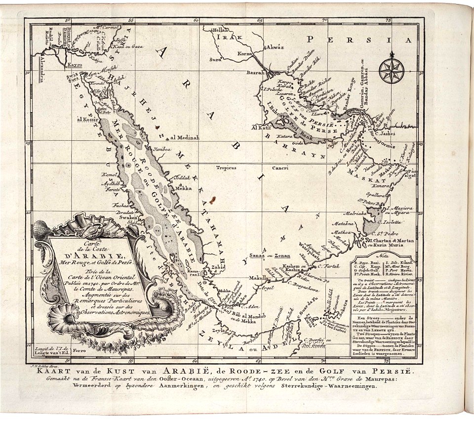
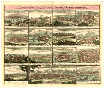
1747 maps
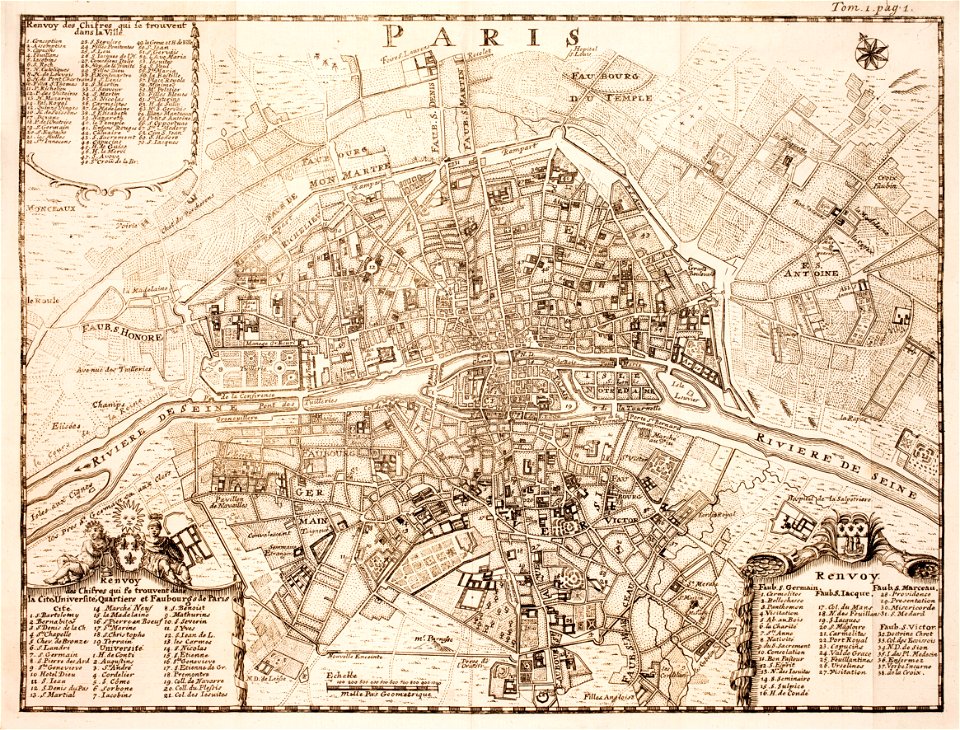
18th-century maps of paris
maps of paris in the 1740s
maps made in the 17th century
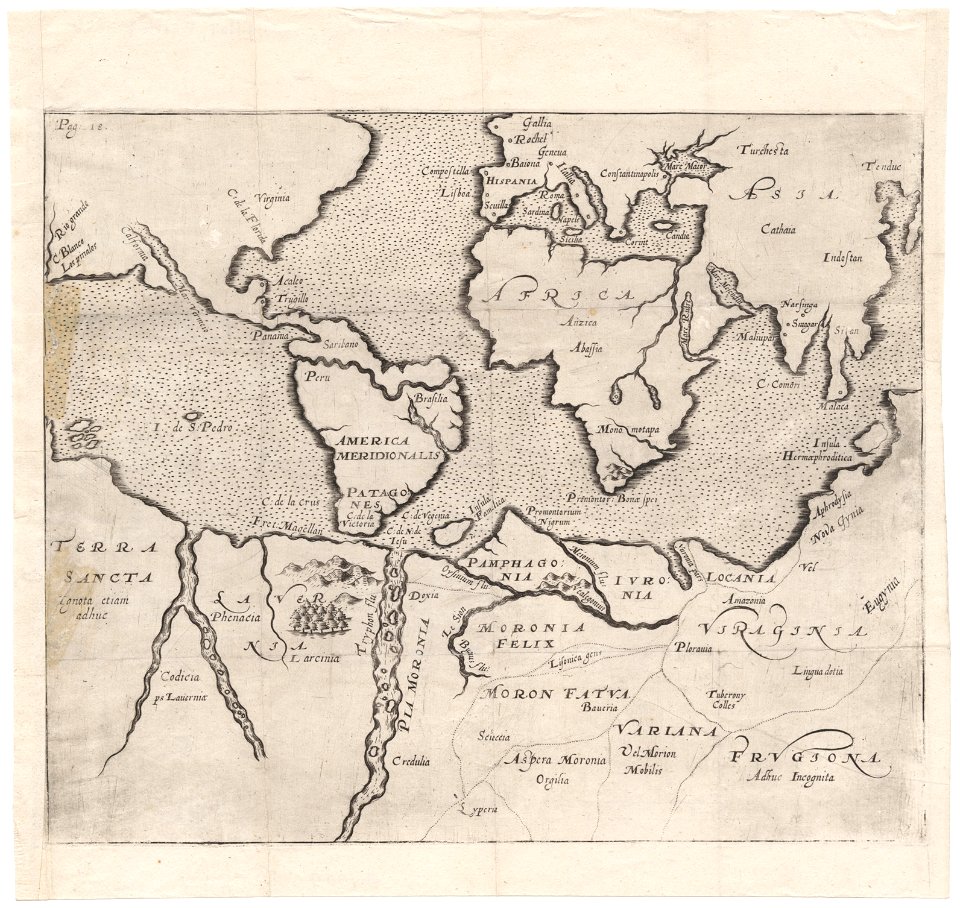
old maps of the world
maps in the library of congress
1862 maps
maps in the library of congress
1862 maps
maps made in the 17th century
gerard valck
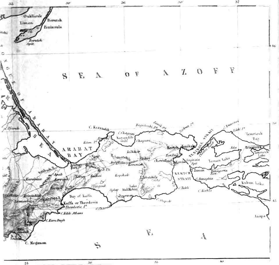
old maps of the sea of azov
1856 maps
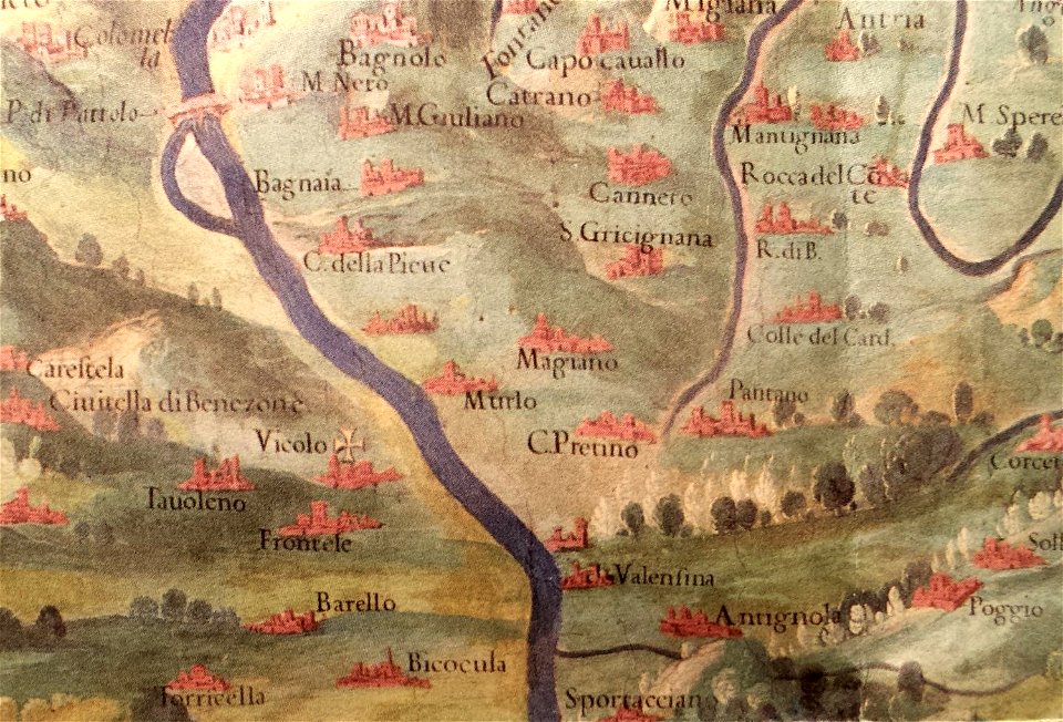
history of perugia
old maps of umbria
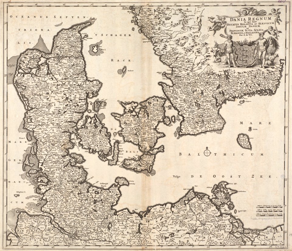
maps by frederick de wit
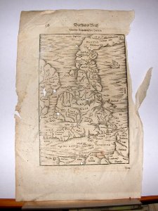
1680s maps of denmark
maps made in the 17th century
gerard valck
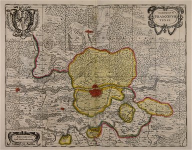
old maps of frankfurt am main
gerard valck
charts and maps of the royal museums greenwich
1600 maps
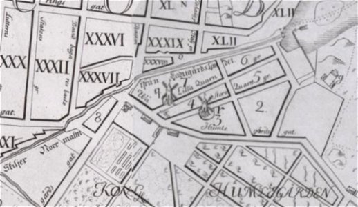
windmills in stockholm
maps of östermalm
maps in the library of congress
1762 maps
cosmographia (1628) by sebastian münster
old maps of the british isles
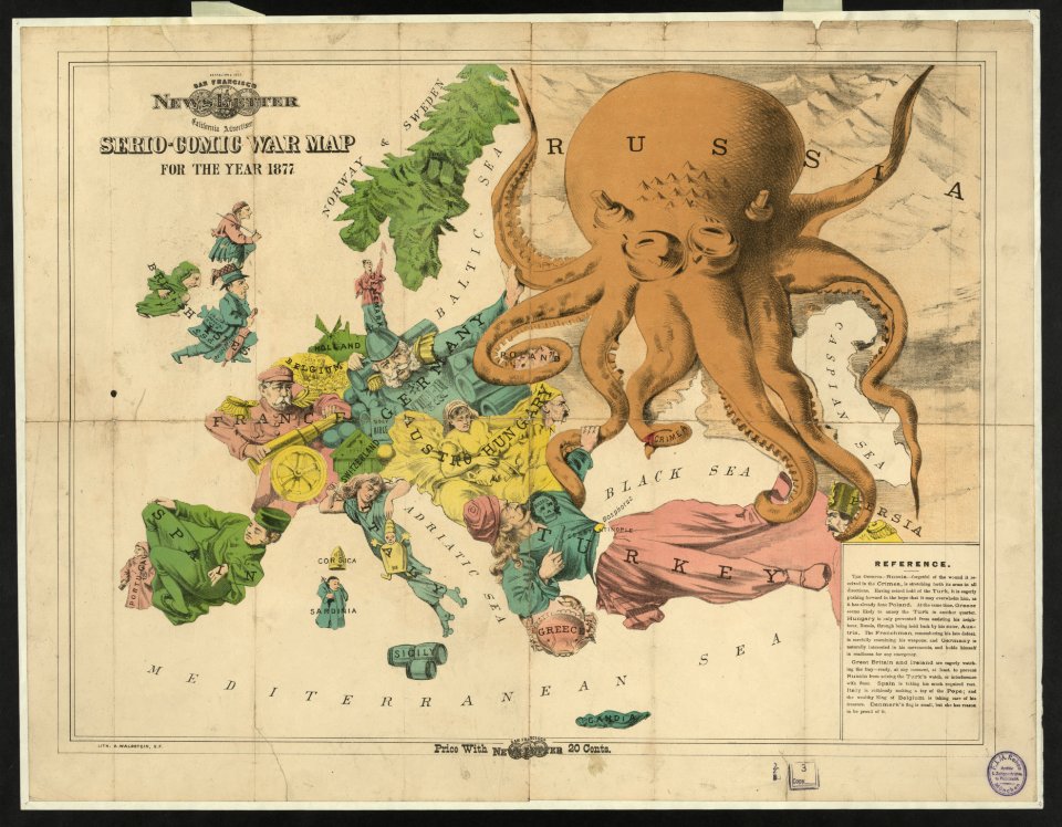
19th-century satirical maps
europe in the 1870s
7401 - 7500 of 357,630
Next page
/ 3577