Log in
All resources
Create a design
Tools
357,638 Free Images of Maps
maps in the library of congress
fonds ancely - bibliothèque municipale de toulouse - maps
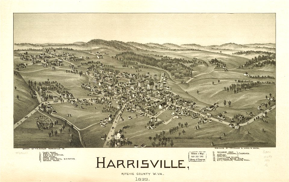
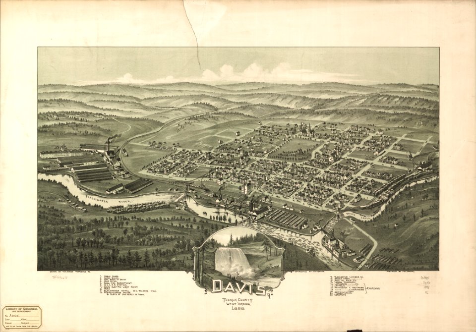
west virginia
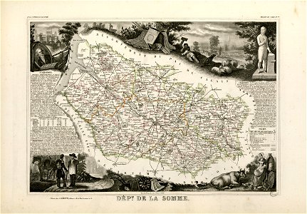
victor levasseur - maps of france
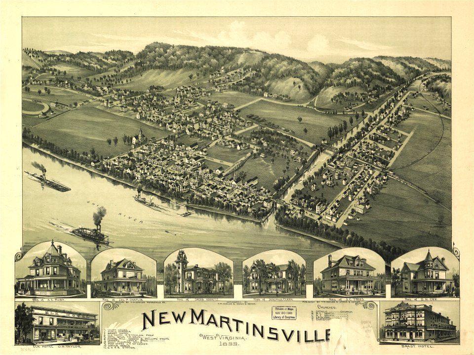
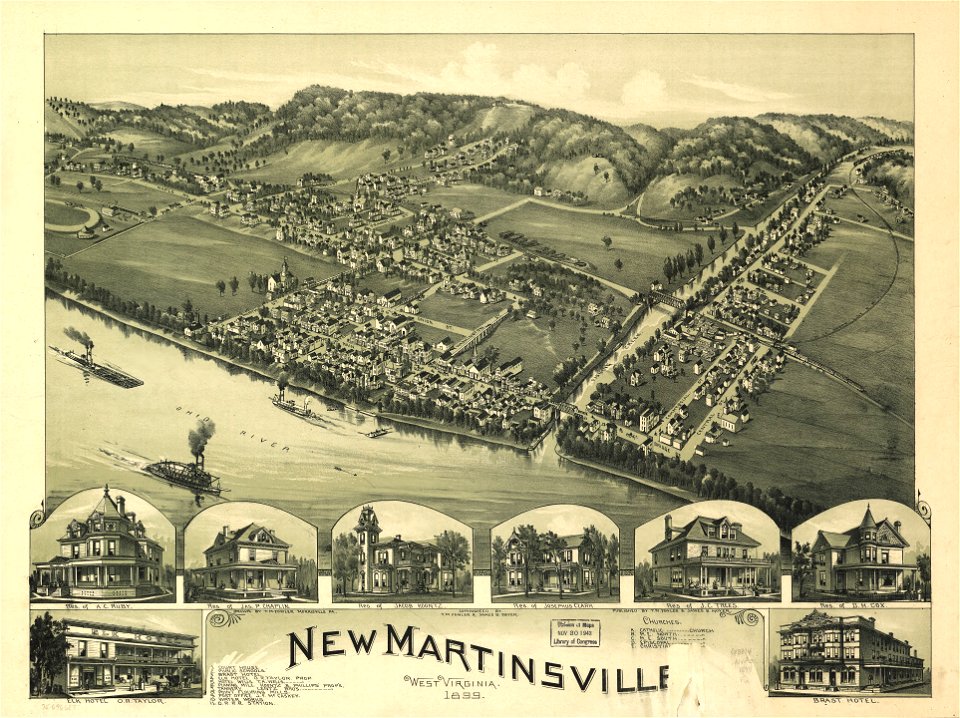
1899 maps of west virginia
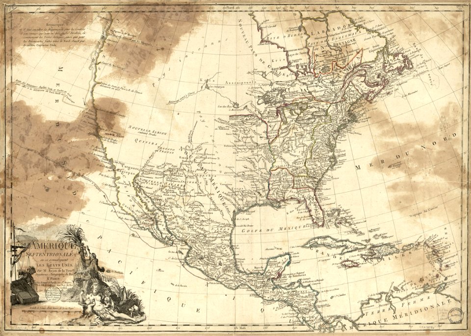
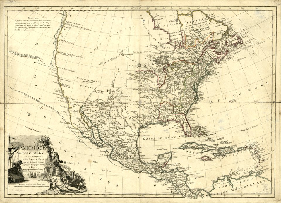
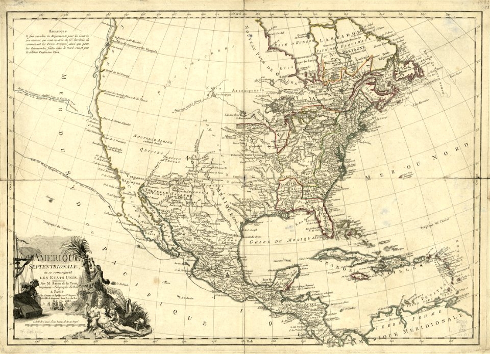
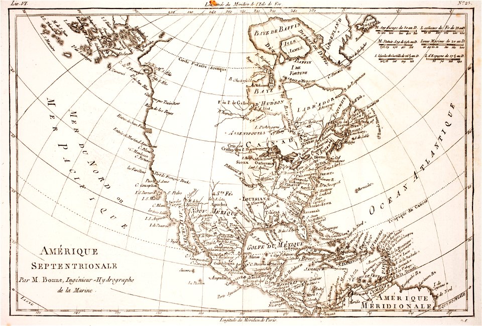
1783 maps of north america
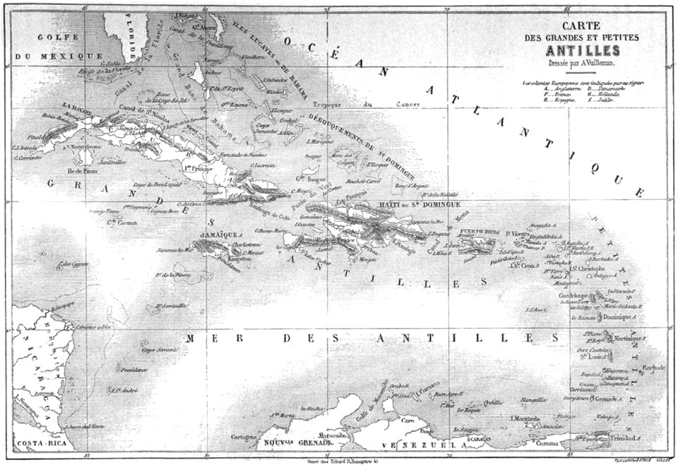
maps by alexandre vuillemin
atlante veneto (raremaps.com) volume 2
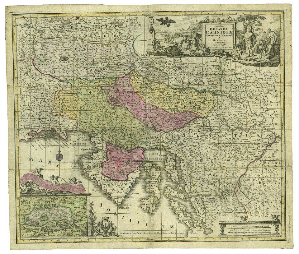
maps made in the 17th century
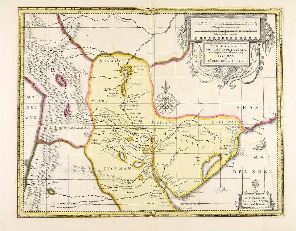
maps by pieter schenk (i)
maps made in the 17th century
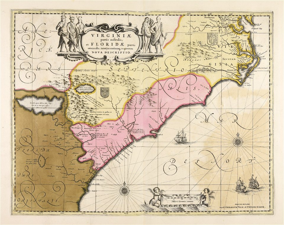
gerard valck
16th-century maps of the caribbean
theodor de bry
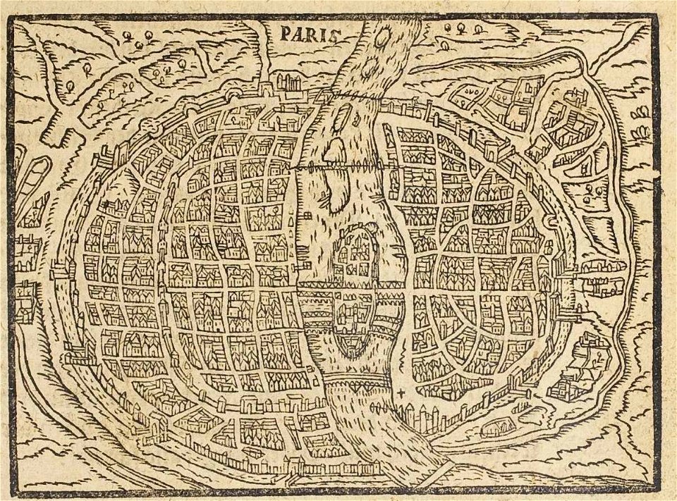
17th-century maps of paris
paris in the 16th century
west virginia
harrisville
maps in the library of congress
new york
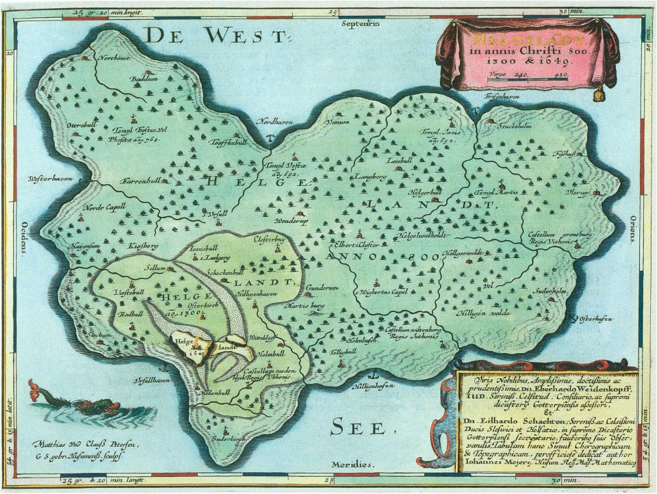
helgeladt in annis christi 800
1300 & 1649
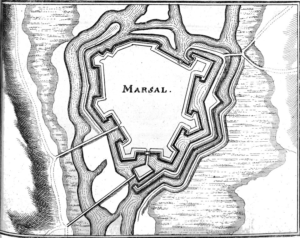
description des principales villes (1690)
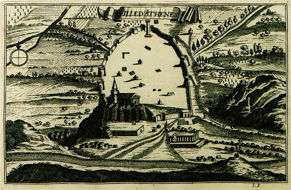
old maps of athens
maps in the library of congress
1862 maps
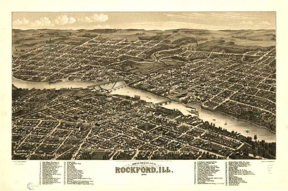
illinois
rockford
maps in the library of congress
1862 maps
tobias conrad lotter
1760 maps
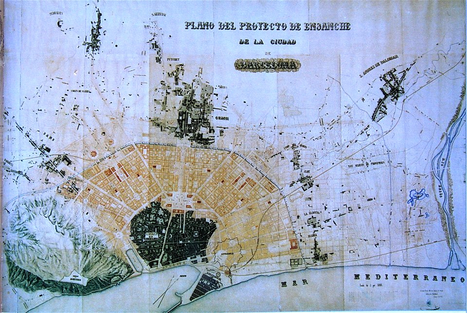
eixample district (barcelona)
urban studies and planning
details of 1830 vienna map series by carl graf vasquez
palais rasumofsky
19th-century satirical maps
augusto grossi
maps in the library of congress
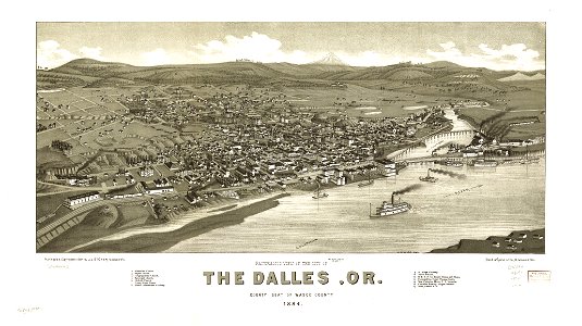
1884 maps of oregon
popular science monthly illustrations/volume 48
1896 maps
maps in the library of congress
1783 maps of north america
maps in the library of congress
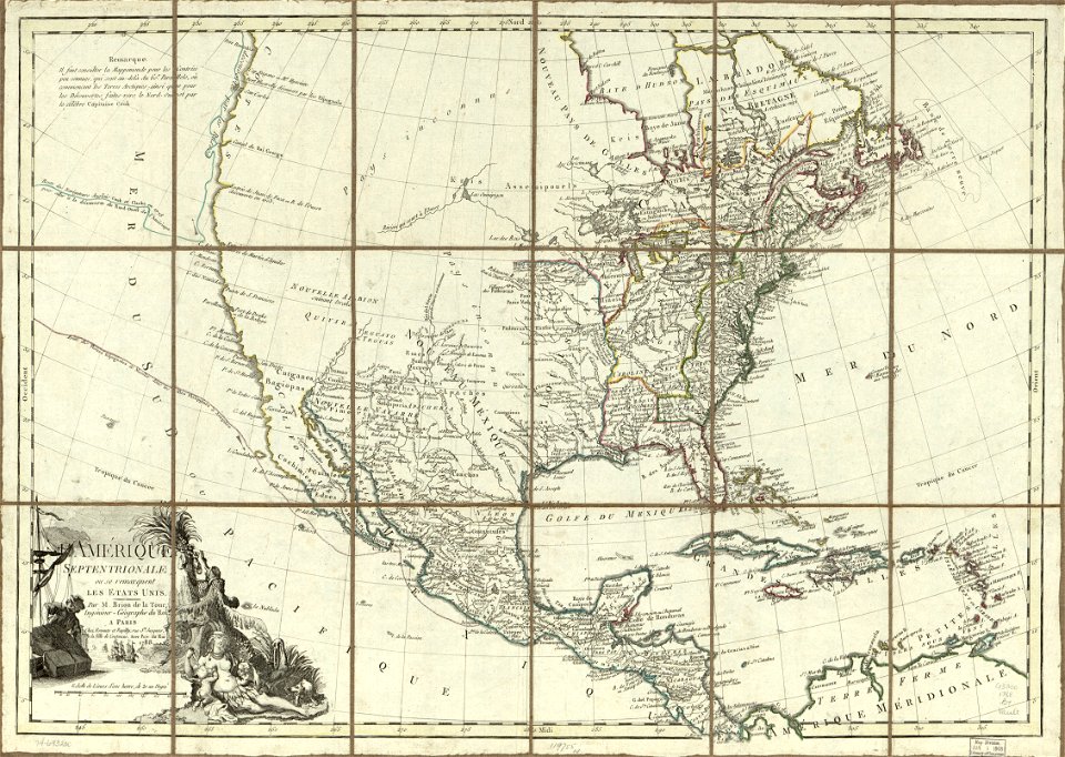
1788 maps of north america
maps in the library of congress
1783 maps of north america
maps in the library of congress
1783 maps of north america
maps in the library of congress
1788 maps of north america
maps in the library of congress
1783 maps of north america
maps in the library of congress
1783 maps of north america
maps in the library of congress
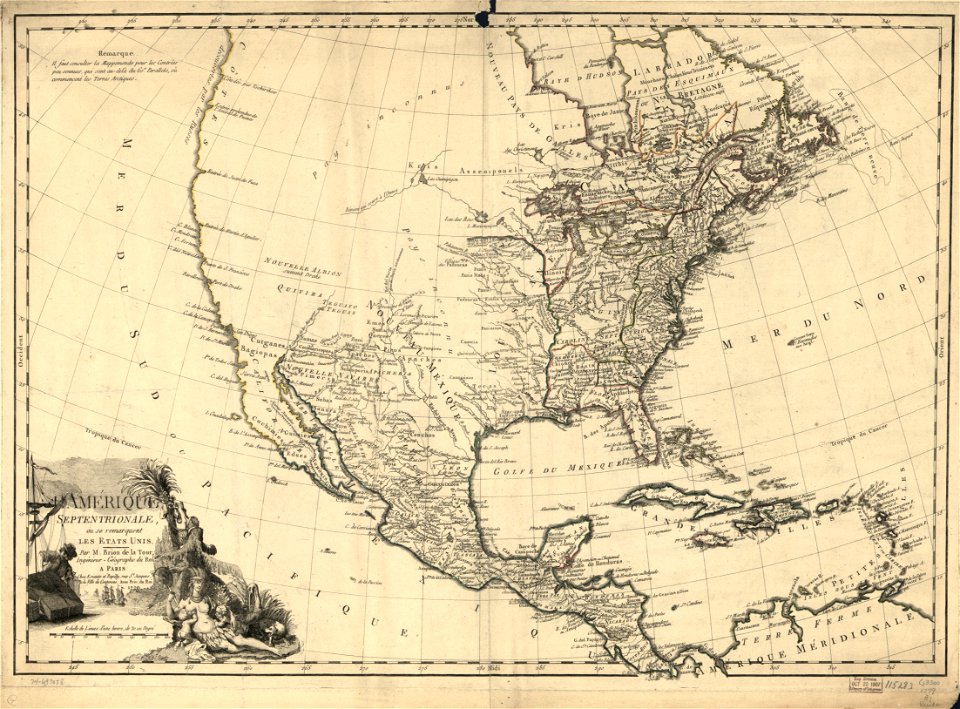
1779 maps of north america
maps in the library of congress
1779 maps of north america
west virginia
harrisville
volume 2 of le tour du monde
maps by alexandre vuillemin
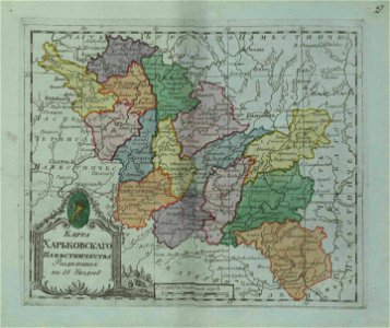
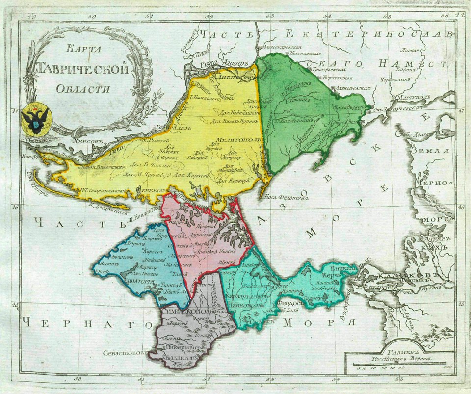
small atlas of the russian empire (1796)
kharkov viceroyalty
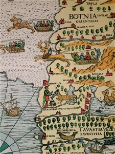
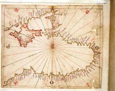
carta marina (details)
korsholm
bibliothèque municipale de reims
rès. g 152
popular science monthly illustrations/volume 16
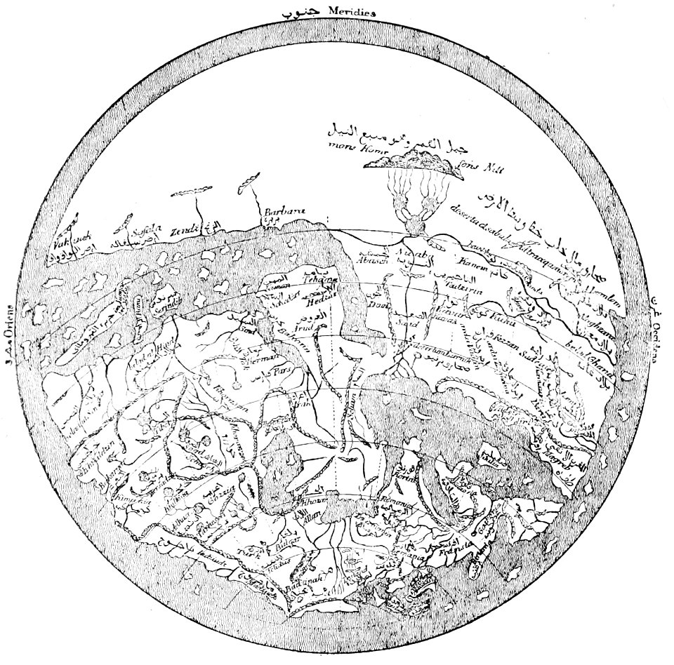
12th-century maps of the world
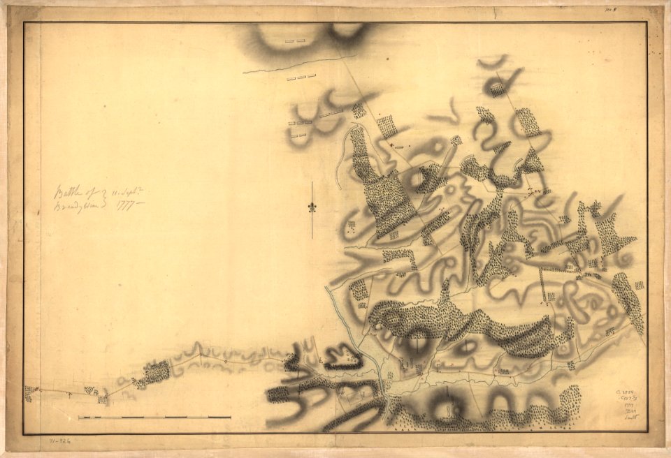
battle of brandywine
pennsylvania
battle of brandywine
pennsylvania
charts and maps of the royal museums greenwich
16th-century maps of the black sea
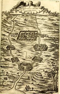
maps from turris babel
by athanasius kircher
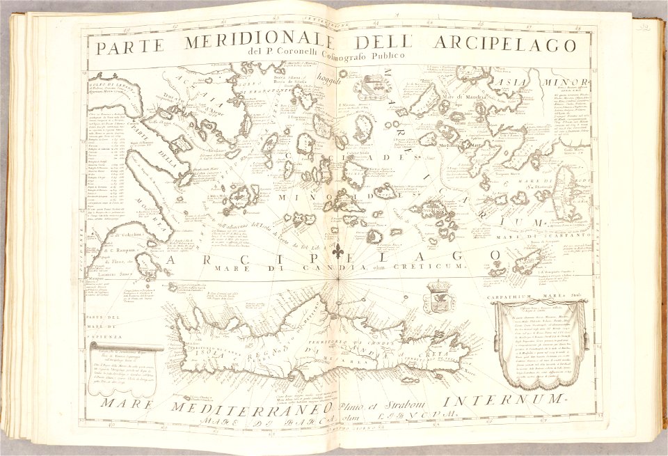
old maps of the aegean sea
old maps of crete
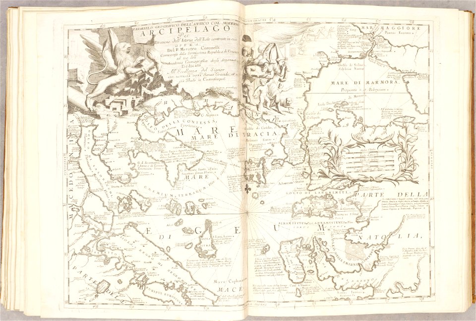
maps of the sea of marmara
old maps of the aegean sea
atlante veneto (raremaps.com) volume 2
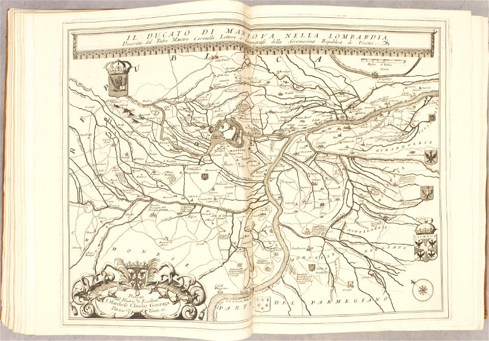
maps of the duchy of mantua
maps by frederick de wit
copper engraving
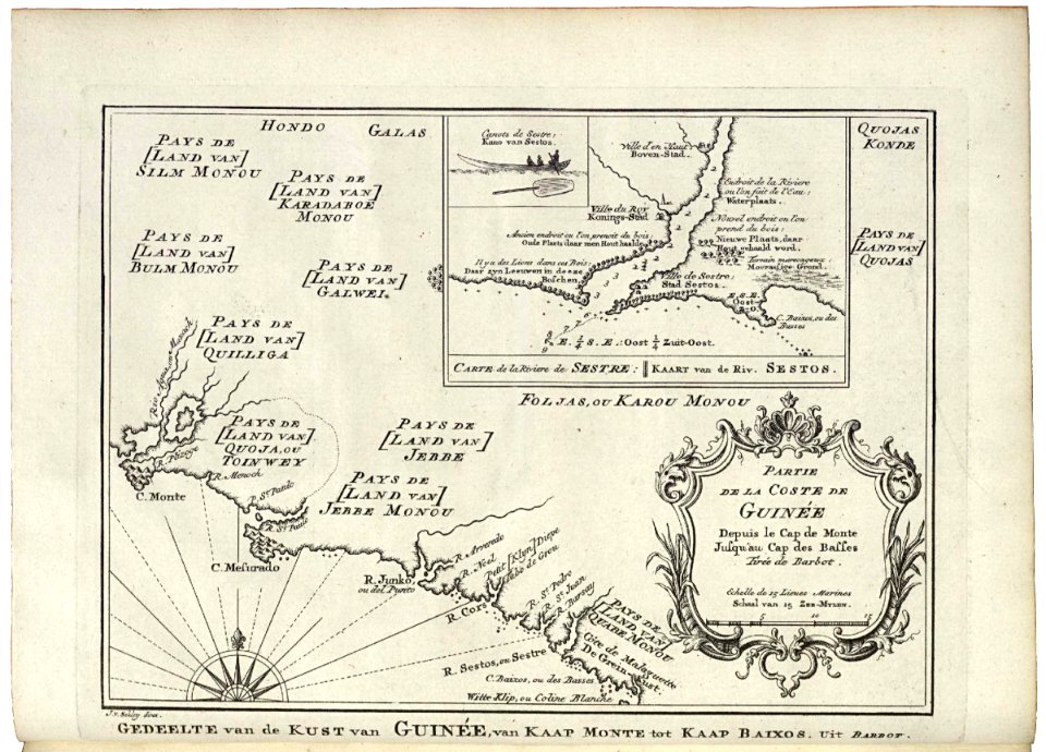
maps of the dutch east india company - indonesia
1724
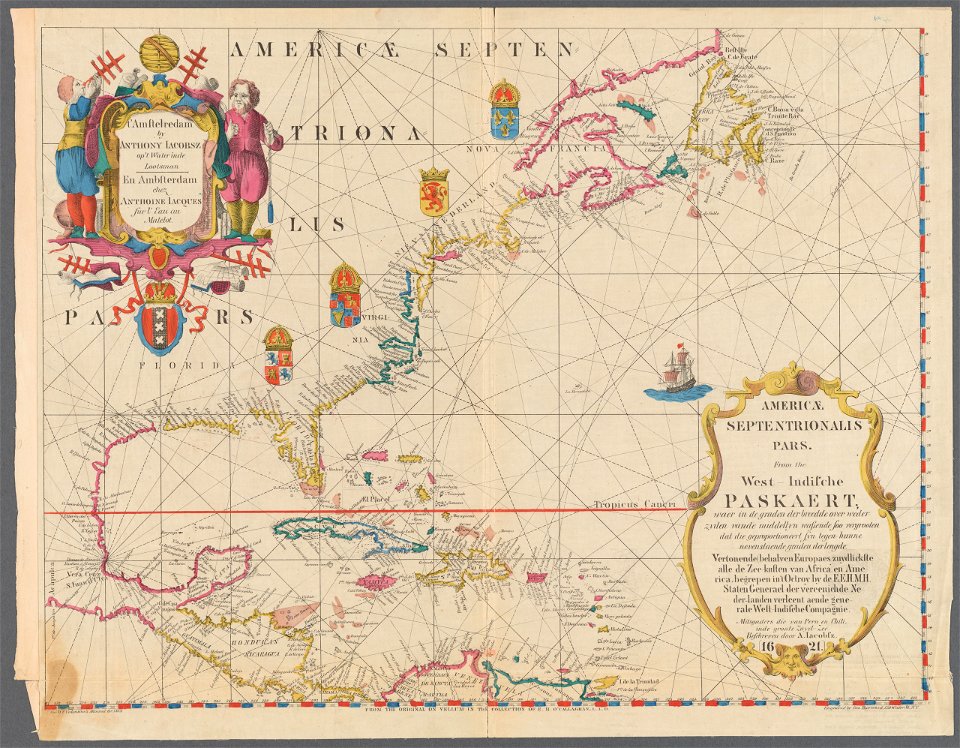
maps of the west-indische compagnie
1747)
maps of the west-indische compagnie
1780
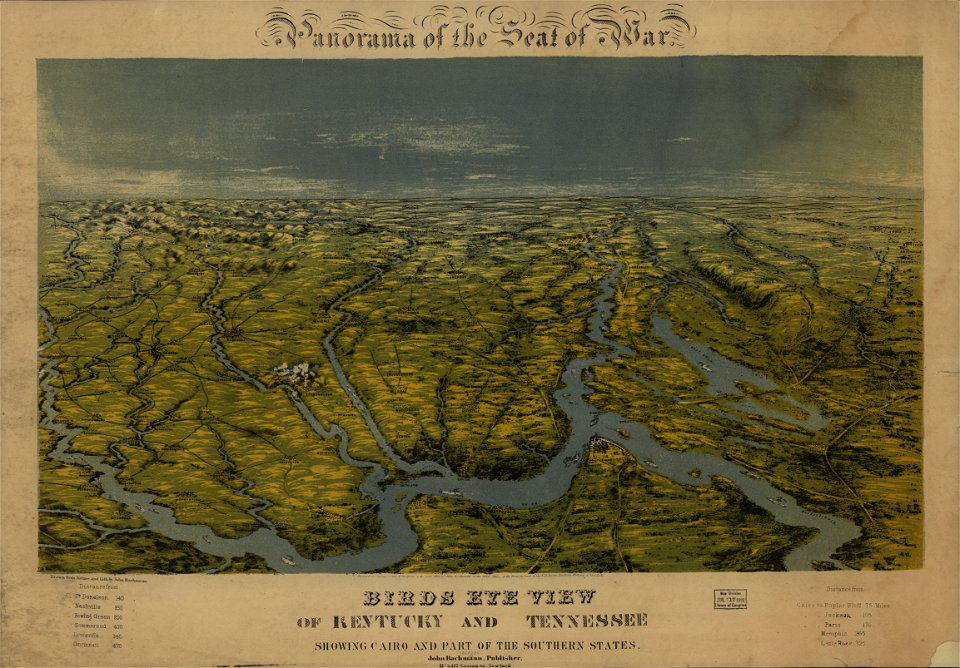
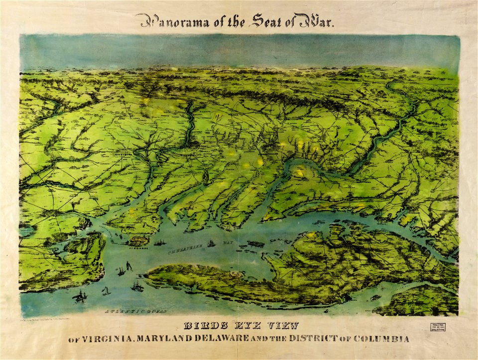
maps of the eastern theater of the american civil war
old maps of the american civil war
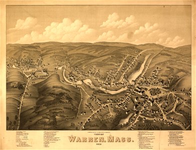
massachusetts
warren
george hayward
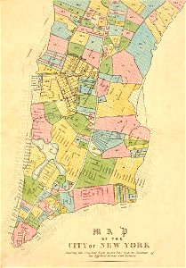
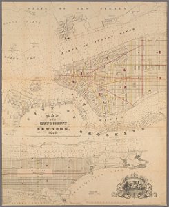
new york city
university of toronto wenceslas hollar digital collection
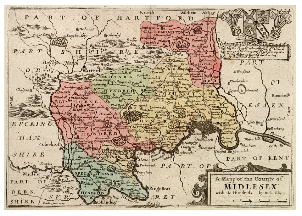
surrey
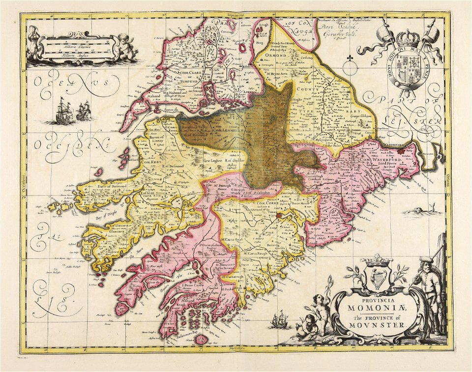
old maps of ireland
gerard valck
david rumsey historical map collection
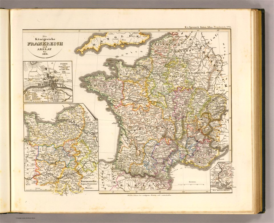
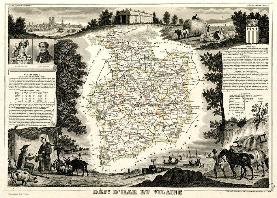
19th-century maps of france
globe
maps
francis d'avignon
george hayward
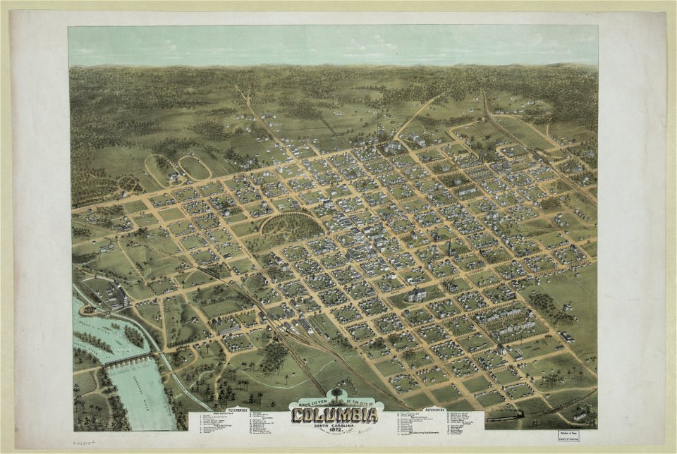
south carolina in the 19th century
columbia
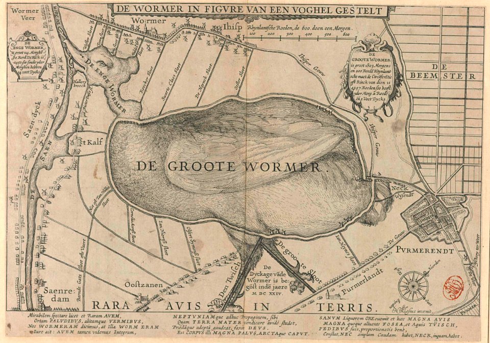
animal shape
purmerend
fonds ancely - bibliothèque municipale de toulouse - maps
maximilien sébastien foy
coats of arms of bordeaux
carle vernet
cartography
maps
travel
maps
maps made in the 17th century
nicolaes visscher ii
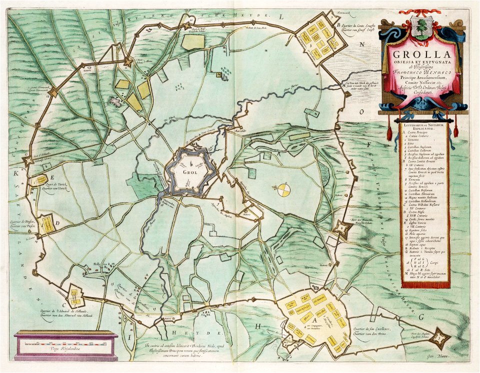
circumvallatielinie (groenlo)
coats of arms on maps
maps of the aleutian islands
1780 maps of north america
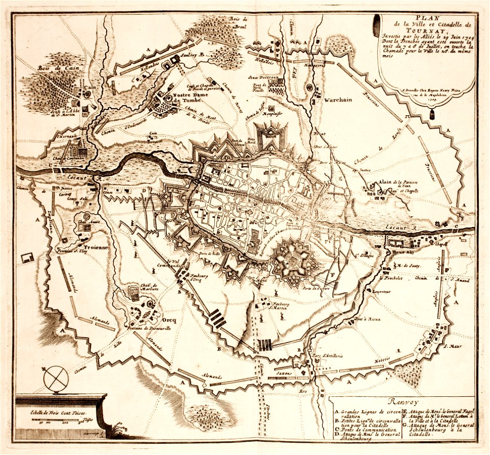
maps of tournai city walls
old maps of tournai
frédéric-auguste laguillermie
françois arago
fonds ancely - bibliothèque municipale de toulouse - maps
coats of arms of rennes
fonds ancely - bibliothèque municipale de toulouse - maps
coats of arms of le mans
frédéric-auguste laguillermie
coats of arms of orléans
victor levasseur - maps of the world
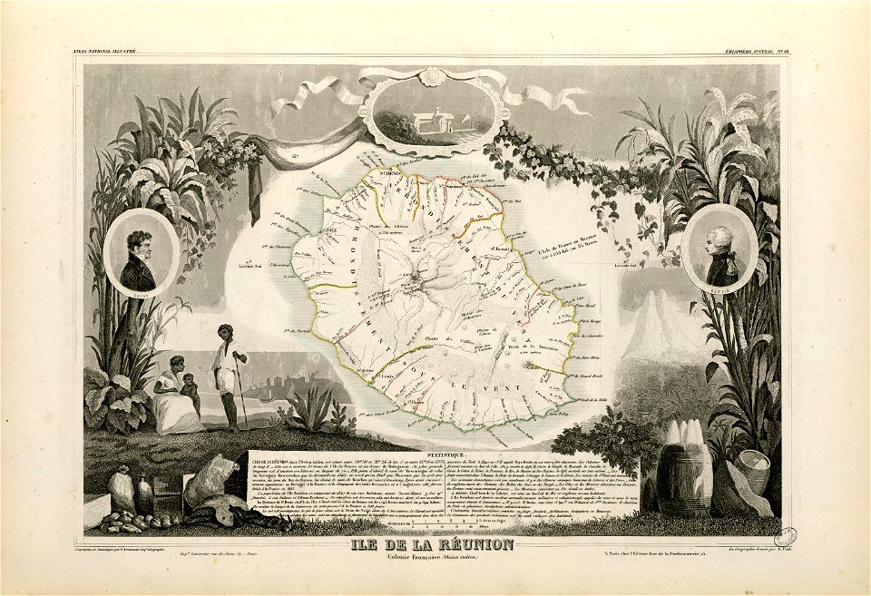
old maps of réunion
maps made in the 18th century
maps by pieter schenk (i)
george hayward
new york city
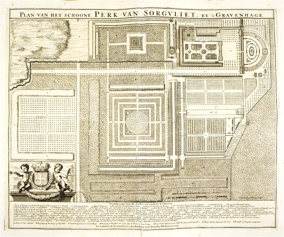
zorgvliet
den haag
maps made in the 17th century
gerard valck
pirate
maps
old maps of oblasts of the russian empire
small atlas of the russian empire (1792)
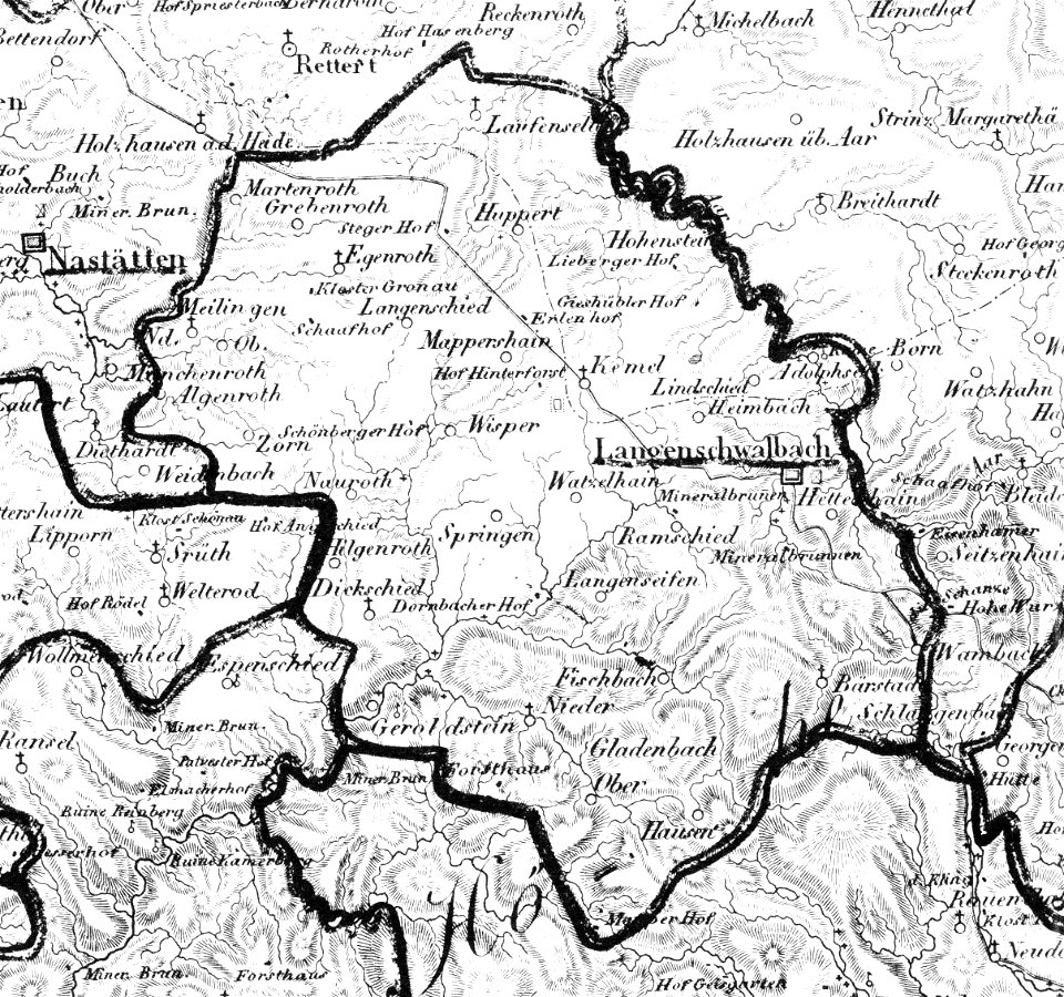
history of bad schwalbach
1828
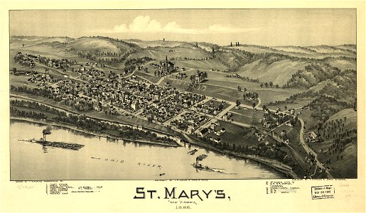
west virginia
st mary
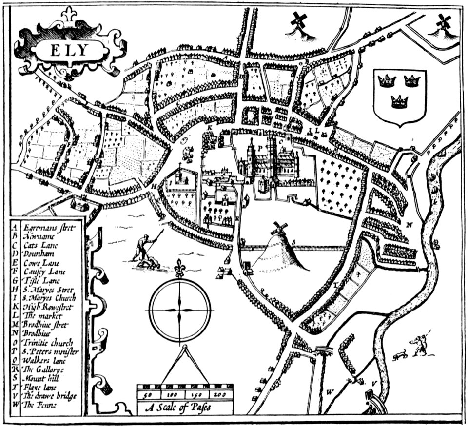
cambridgeshire
ely
maps of bremen by c. a. heineken
maps made in the 18th century
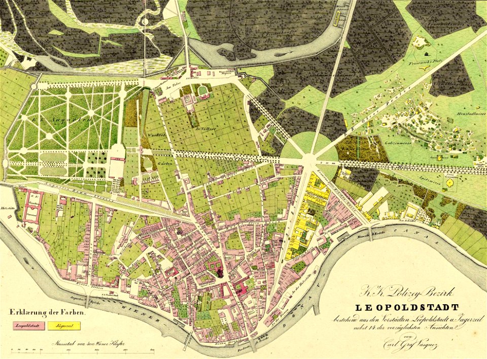
fahnenstangenwasser
vienna
popular science monthly illustrations/volume 32
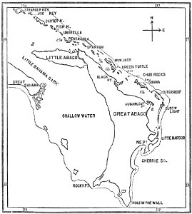
1880s maps of the bahamas
lepsius-projekt - maps
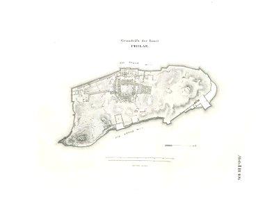
floor plans of philae
maps in the library of congress
west virginia
maps in the library of congress
west virginia
volume 6 of le tour du monde
maps by alexandre vuillemin
volume 5 of le tour du monde
maps by alexandre vuillemin
maps by alexandre vuillemin
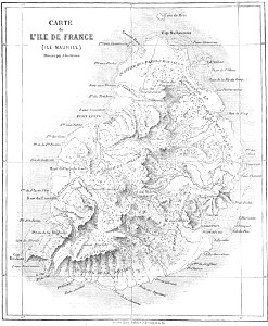
old maps of mauritius
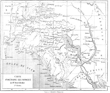
old maps of thailand
old maps of cambodia
volume 2 of le tour du monde
maps by alexandre vuillemin
old maps of dutch brazil
johannes vingboons
maps in the library of congress
1861 maps
maps in the library of congress
1861 maps
maps in the stadsarchief amsterdam
collectie atlas dreesmann
maps of the dutch east india company - india
1672
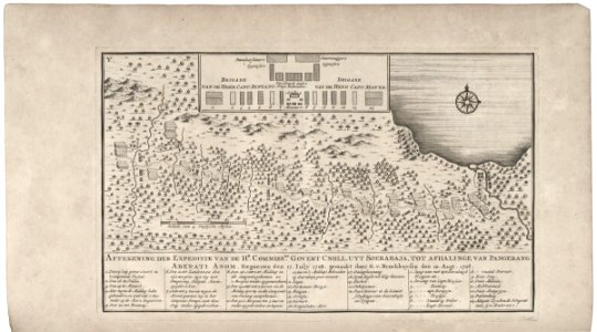
maps of the dutch east india company - indonesia
1739
maps of the dutch east india company - south africa
1747)
maps of the west-indische compagnie
1747)
atlante veneto (raremaps.com) volume 2
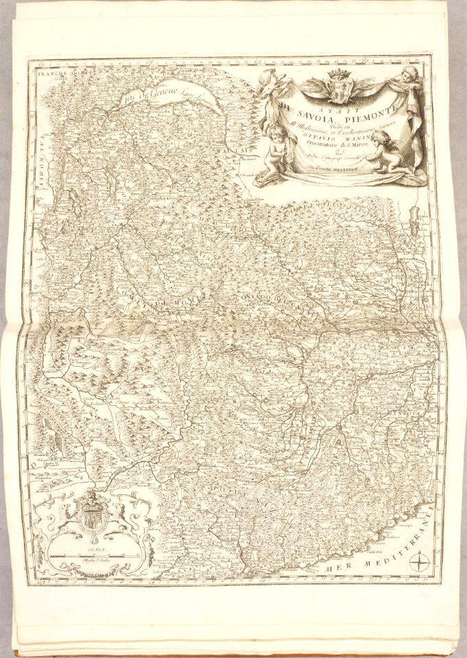
17th-century maps of piedmont
maps in the library of congress
pennsylvania
west virginia
davi
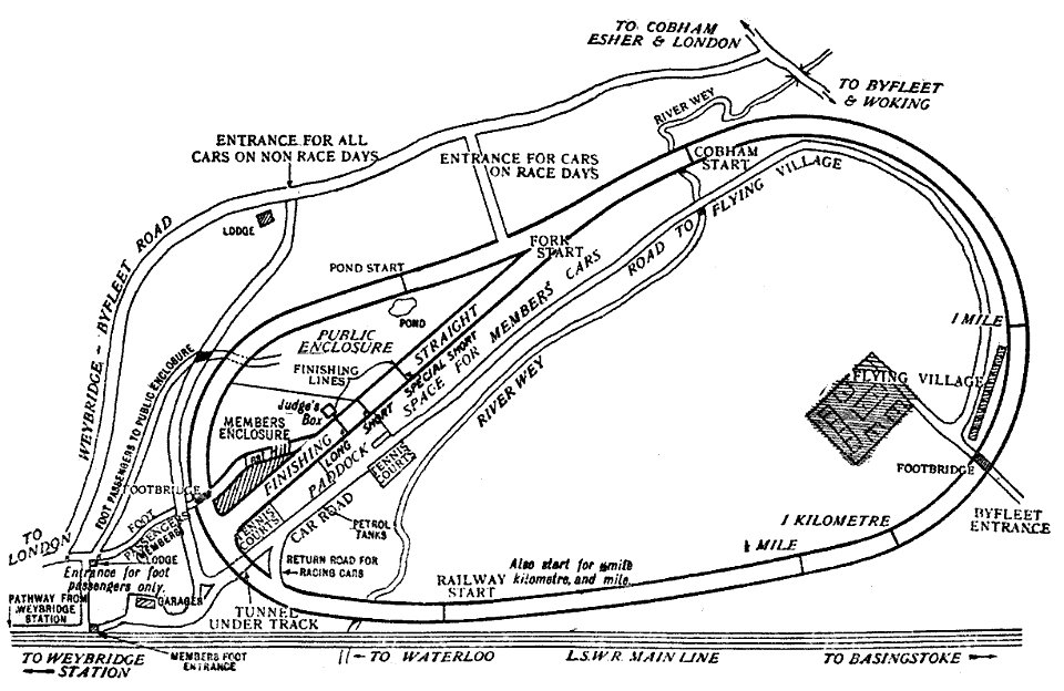
scans from 'autocar handbook'
ninth edition
atlante veneto (raremaps.com) volume 2
old maps of île de ré
amsterdam
ij
engravings of topographia bohemiae moraviae et silesiae
old maps of silesia
8501 - 8600 of 357,638
Next page
/ 3577