Log in
All resources
Create a design
Tools
357,549 Free Images of Map
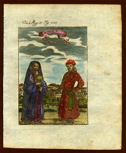
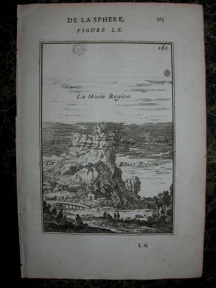
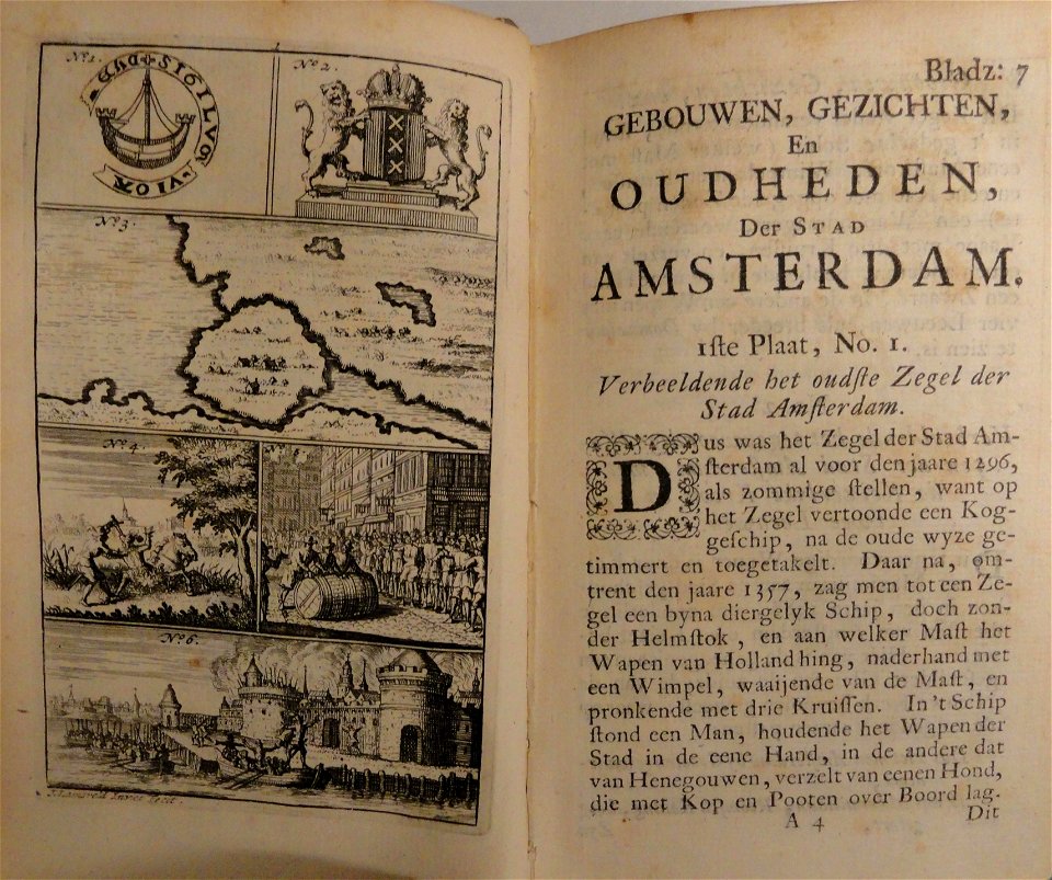
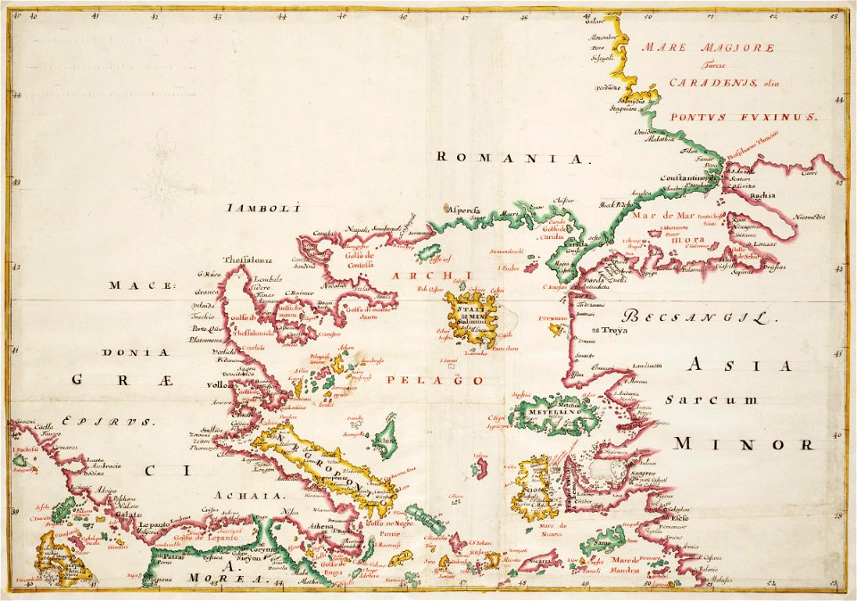
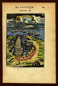
description de l'universe
braun & hogenberg
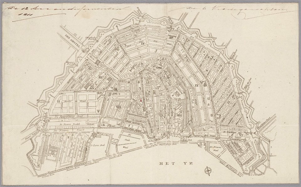
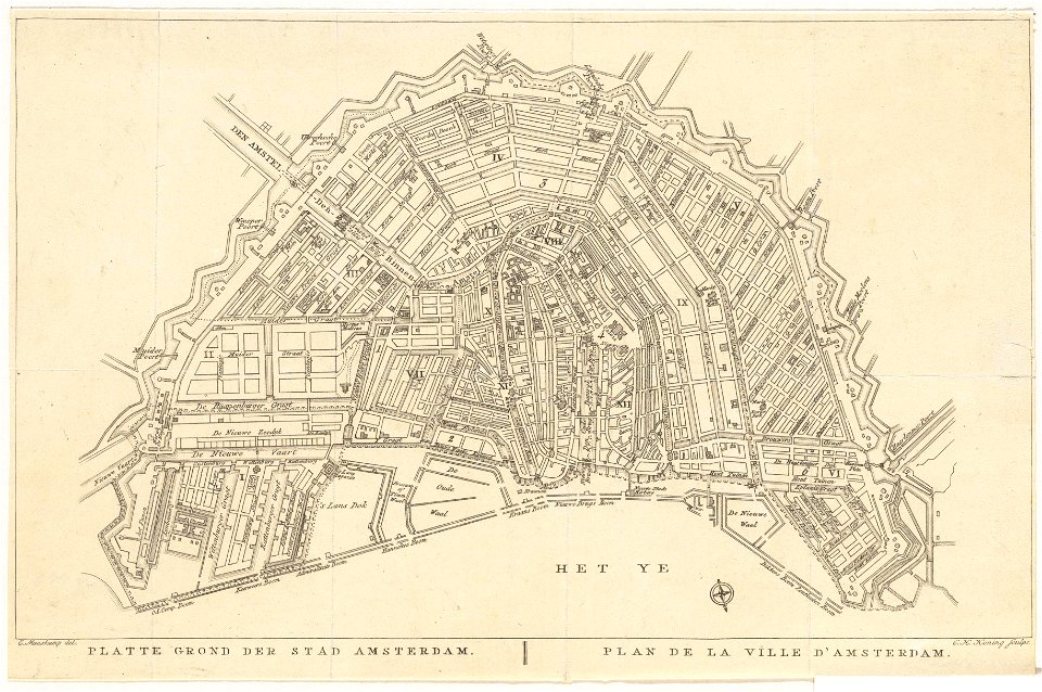
old maps of amsterdam
evert maaskamp
maps made in the 18th century
old celestial maps
maps made in the 17th century
maps by pieter schenk (i)
maps in the stadsarchief amsterdam
gerard valck
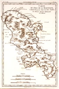
18th-century maps of martinique
dien (printer)
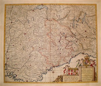
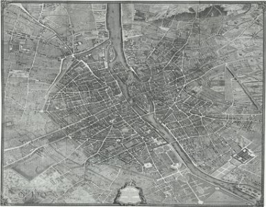
old maps of france
1730
maps made in the 18th century
gerard valck
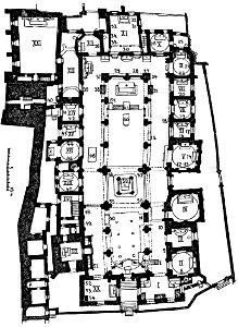
hôtel de guénégaud (quai de nevers)
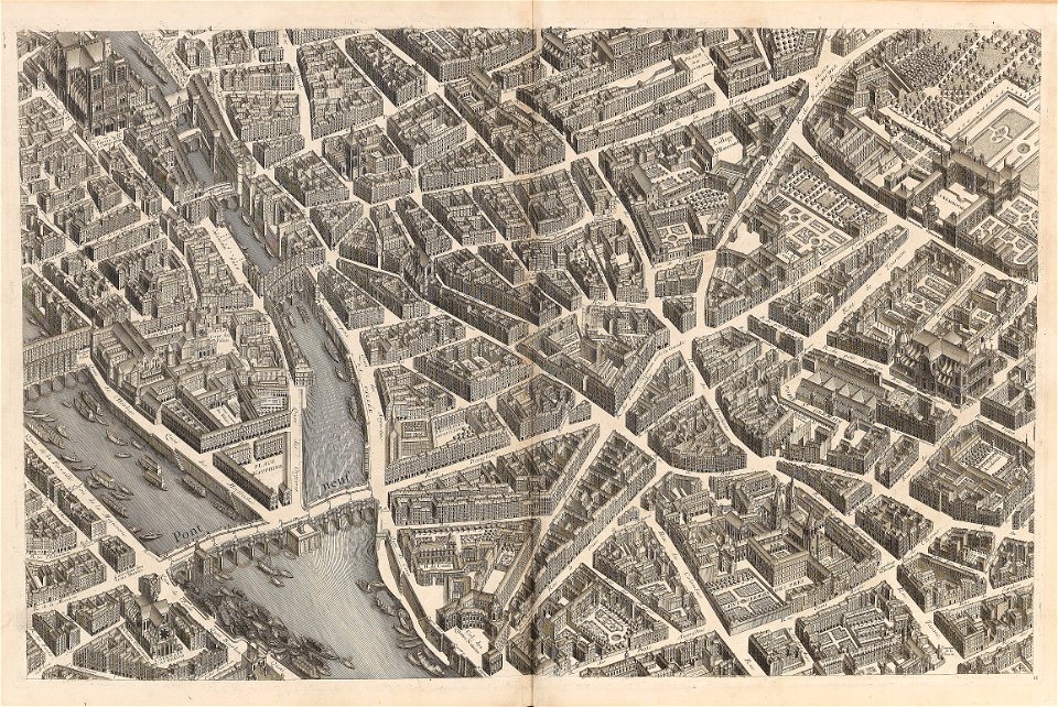
turgot map of paris
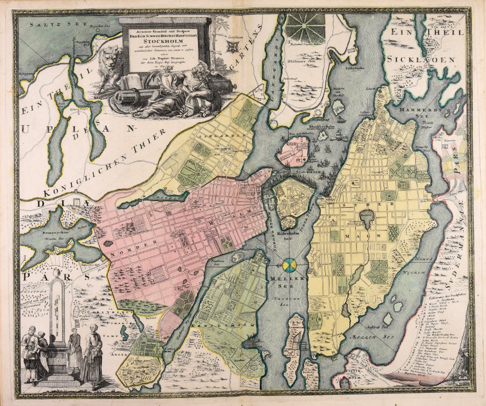
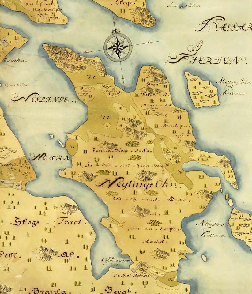
18th-century maps of stockholm
johann baptist homann
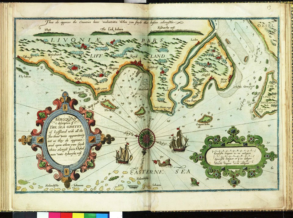
lucas janszoon waghenaer
1588 maps
maps made in the 17th century
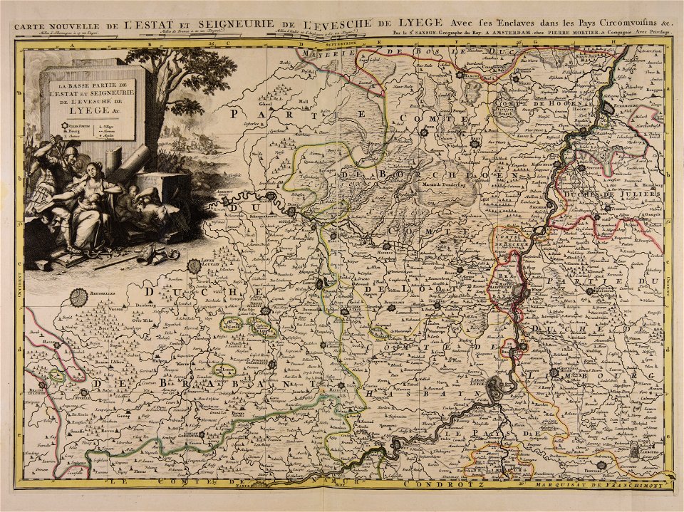
guillaume sanson
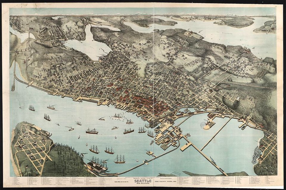
lithographs of cities in the united states
1891 in seattle
maps made in the 17th century
gerard valck
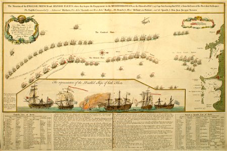
charts and maps of the royal museums greenwich
1682 maps
maps made in the 17th century
gerard valck
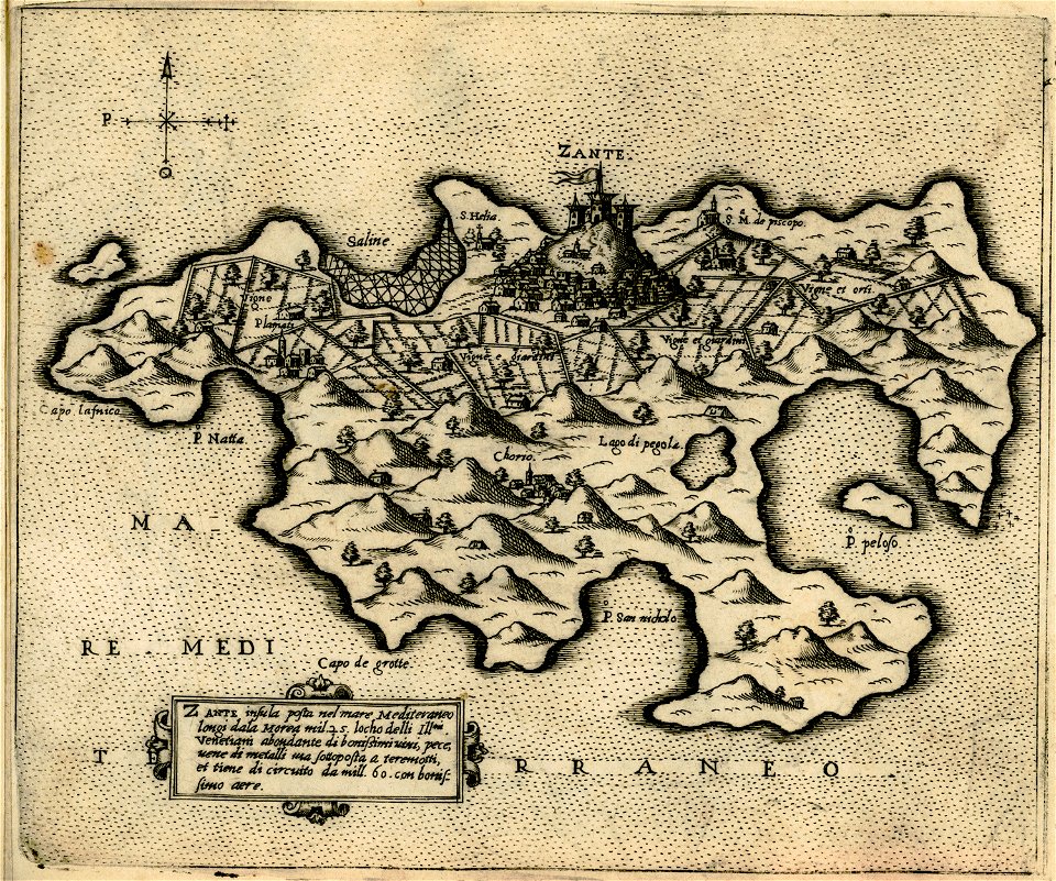
maps of zakynthos
giovanni camocio
historical images of sluck
maps of sluck
description de l'universe
1710s maps of the world
description de l'universe
1680s maps of the world
saltsjöbaden
maps
maps in the stadsarchief amsterdam
jacobus verheyden
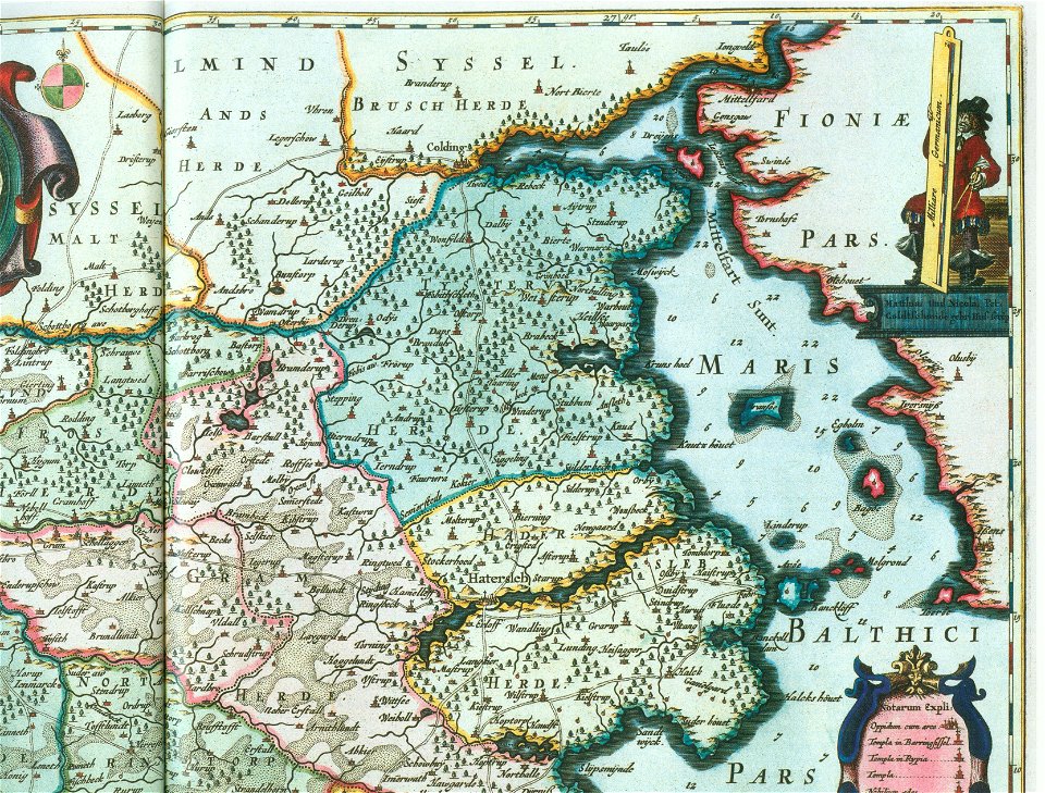
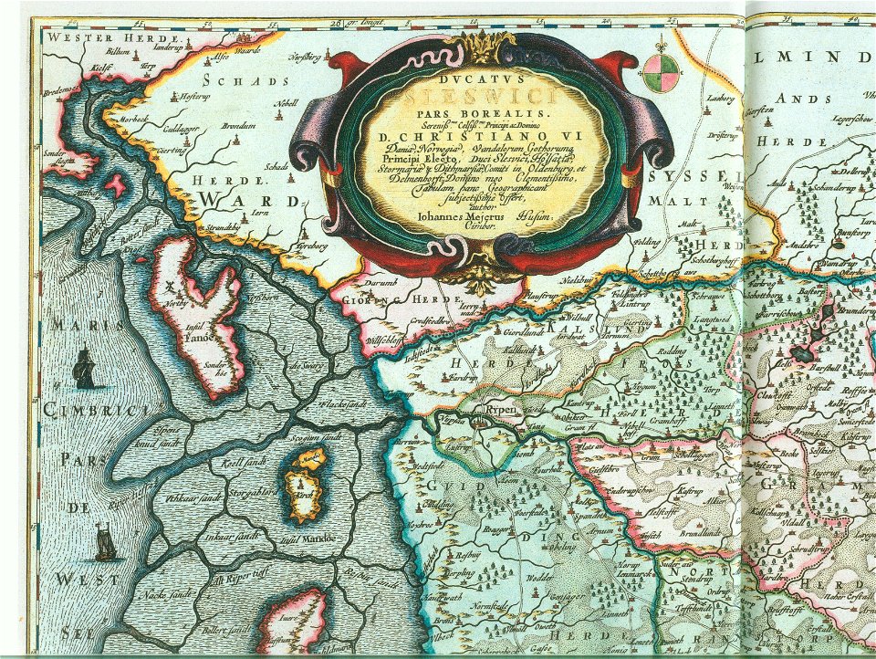
ducatus sleswici pars borealis
maps by johannes mejer
ducatus sleswici pars borealis
maps by johannes mejer
theatrum urbium (1610)
maps of geneva
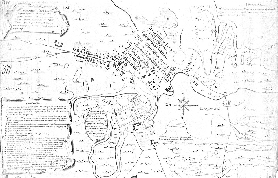
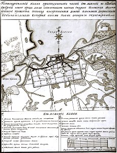
18th-century maps of russia
sestroretsky spill
book illustration
giovanni camocio
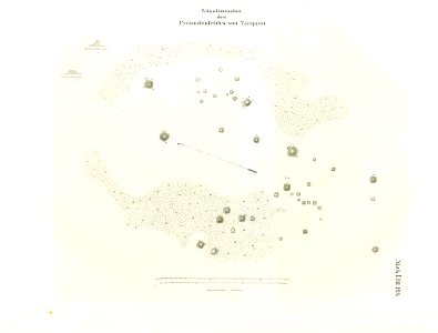
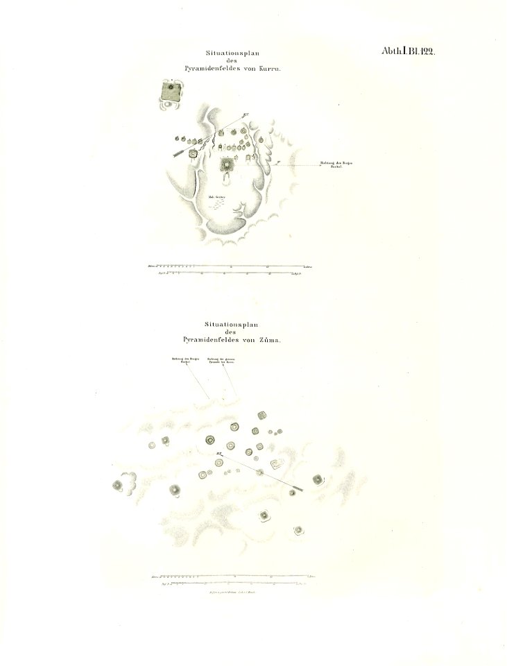
lepsius-projekt - maps
sheet 15 of the turgot map of paris
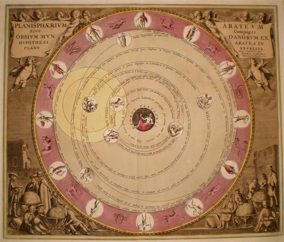
old celestial maps
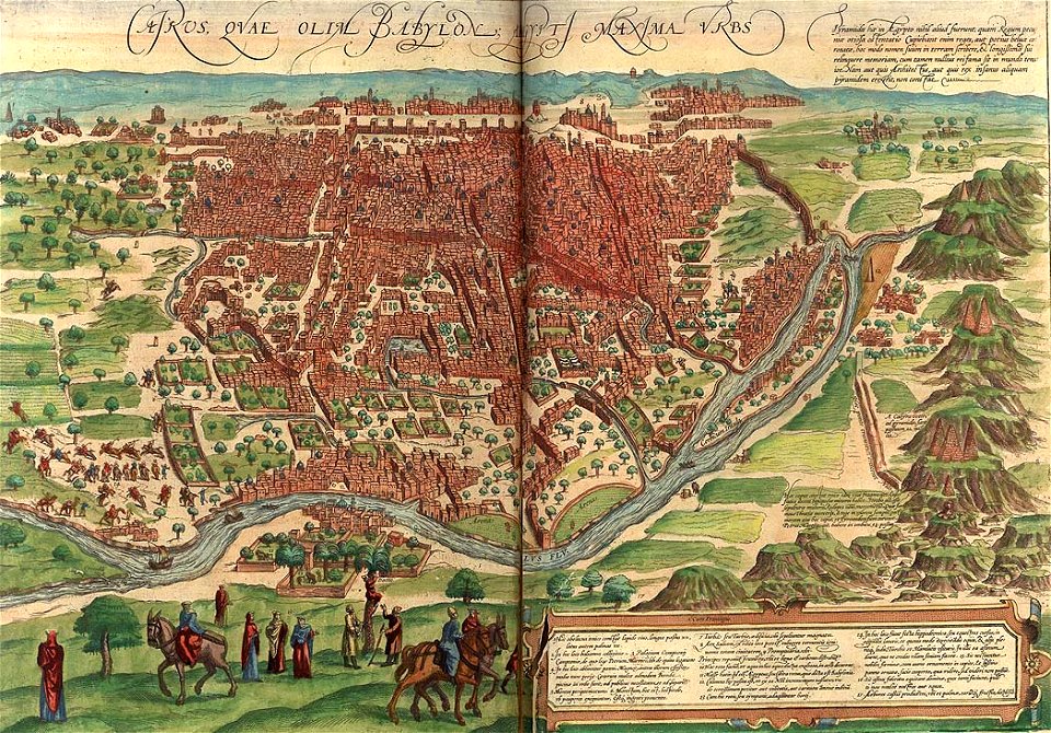
map of cairo by braun & hogenberg
timeline of cairo
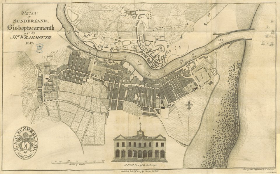
old maps of sunderland
sunderland
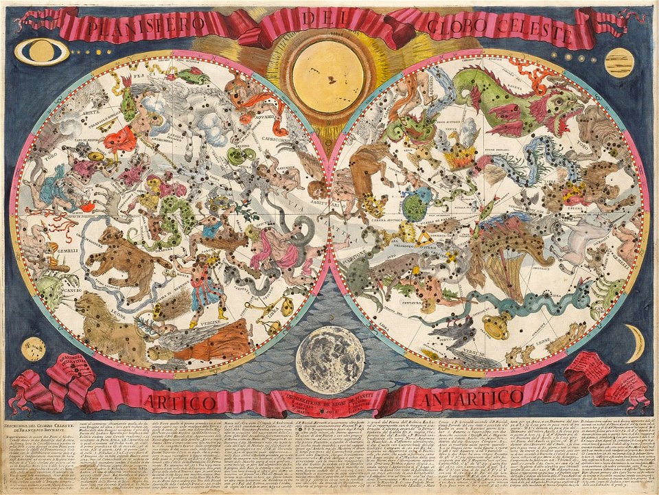
old celestial maps
francesco brunacci
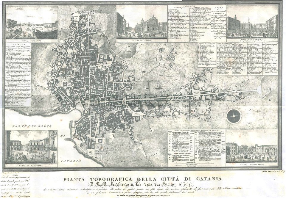
old maps of catania
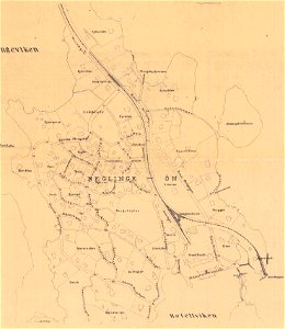
saltsjöbaden
maps
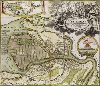
homann map st petersburg ab1720
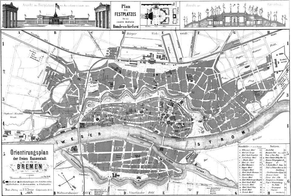
old maps of bremen (state)
bremen in the 1860s
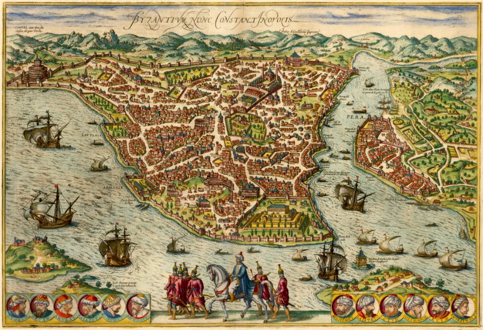
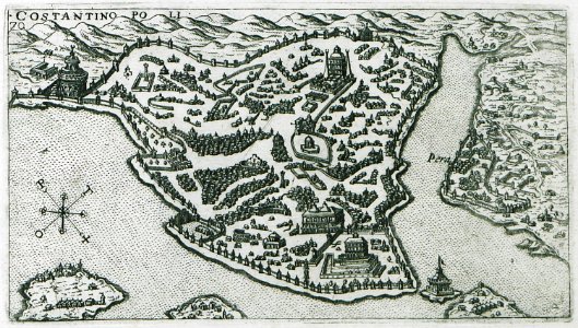
old maps of constantinople
braun & hogenberg
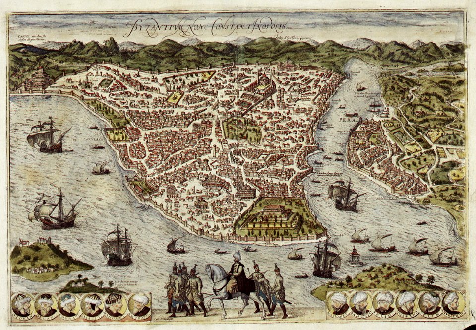
old maps of istanbul
braun & hogenberg
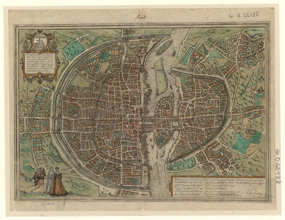
maps of paris by braun & hogenberg
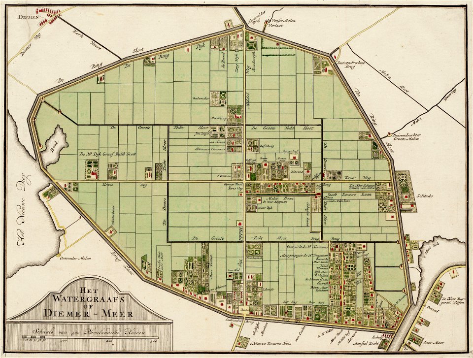
maps in the stadsarchief amsterdam
daniel stoopendaal
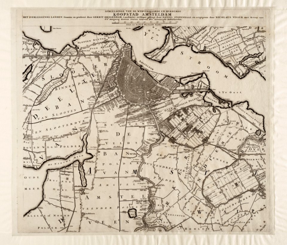
maps in the stadsarchief amsterdam
daniel stoopendaal
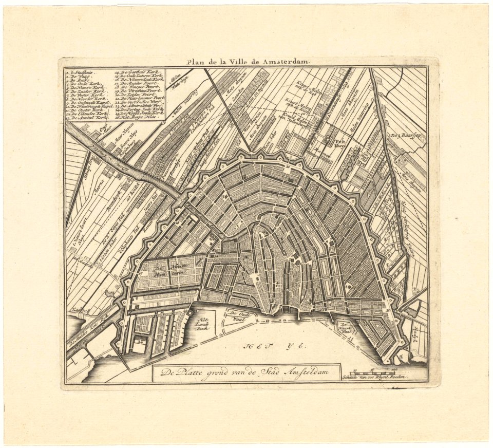
maps in the stadsarchief amsterdam
daniel stoopendaal
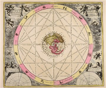
1665
andreas cellarius
paintings in the museu antônio parreiras
map of ghent by jacob van deventer
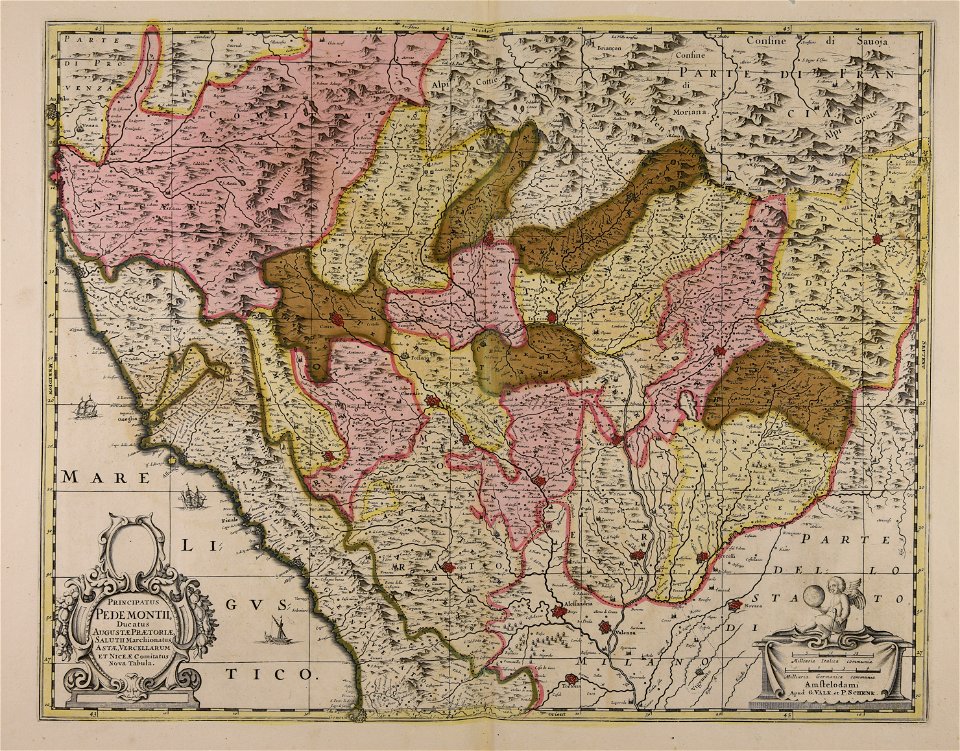
maps of the duchy of savoy
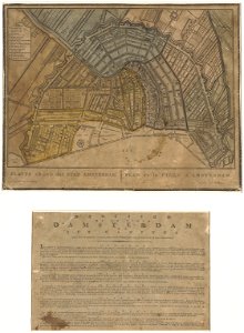
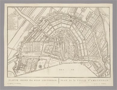
old maps of amsterdam
evert maaskamp
old maps of amsterdam
evert maaskamp
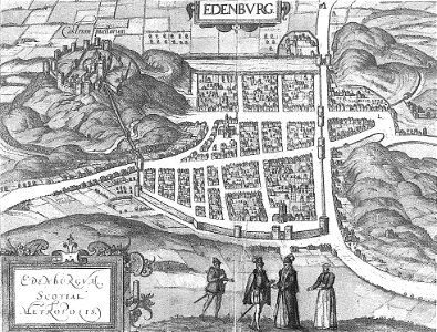
old maps of edinburgh
braun & hogenberg
engravings by matthäus merian
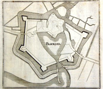
old maps of blokzijl
old maps of bergamo
alvise cima
lepsius-projekt - maps
historical images of lepiel
maps of liepieĺ
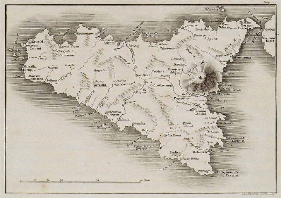
the antiquities of magna graecia (1807)
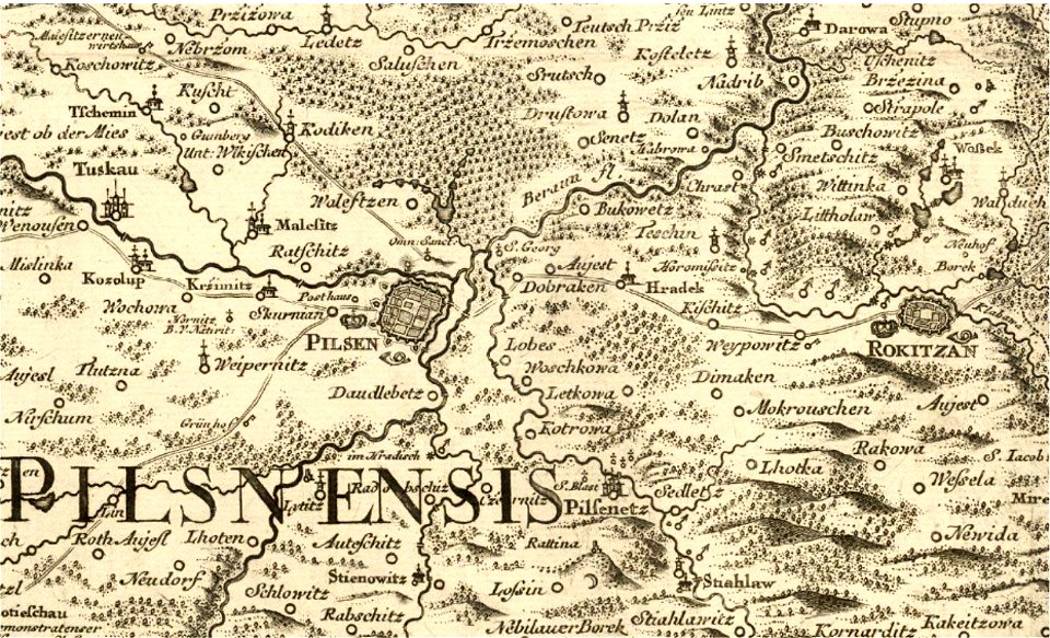
historical maps of plzeň
johann christoph müller
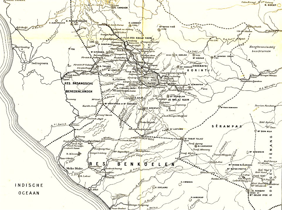
sumatra in the 1900s
old maps of sumatra
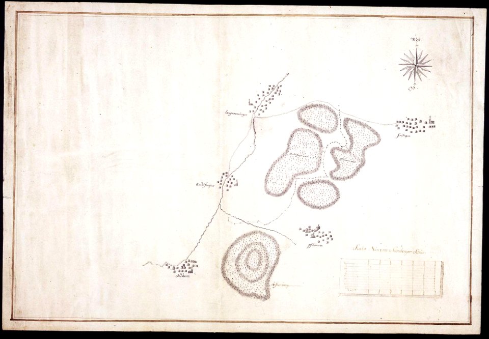
maps of württemberg
langenenslingen
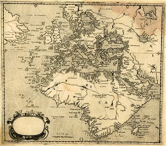
old maps of greece
olfert dapper
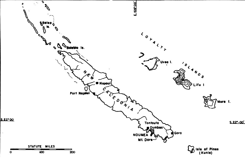
political maps of new caledonia
nouméa
1751 maps of rhineland-palatinate
neuwied in the 18th century
details of müller's map of bohemia
dolní podluží
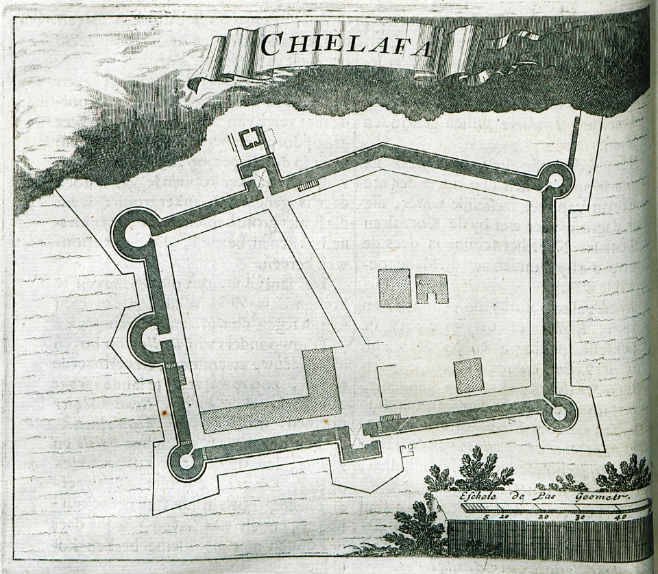
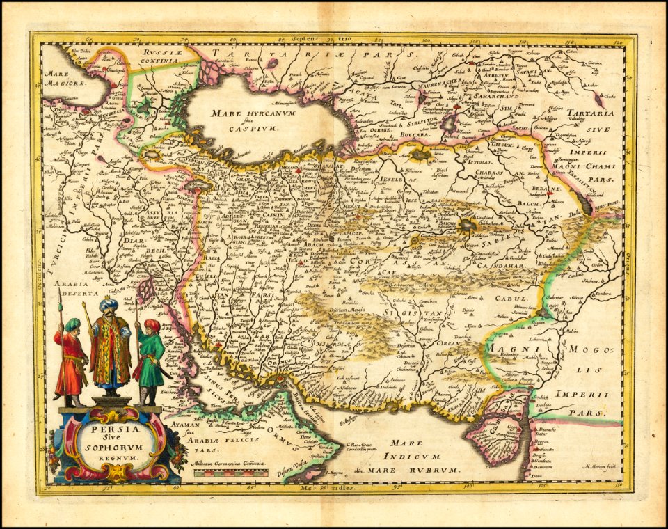
old maps of iran
matthäus merian
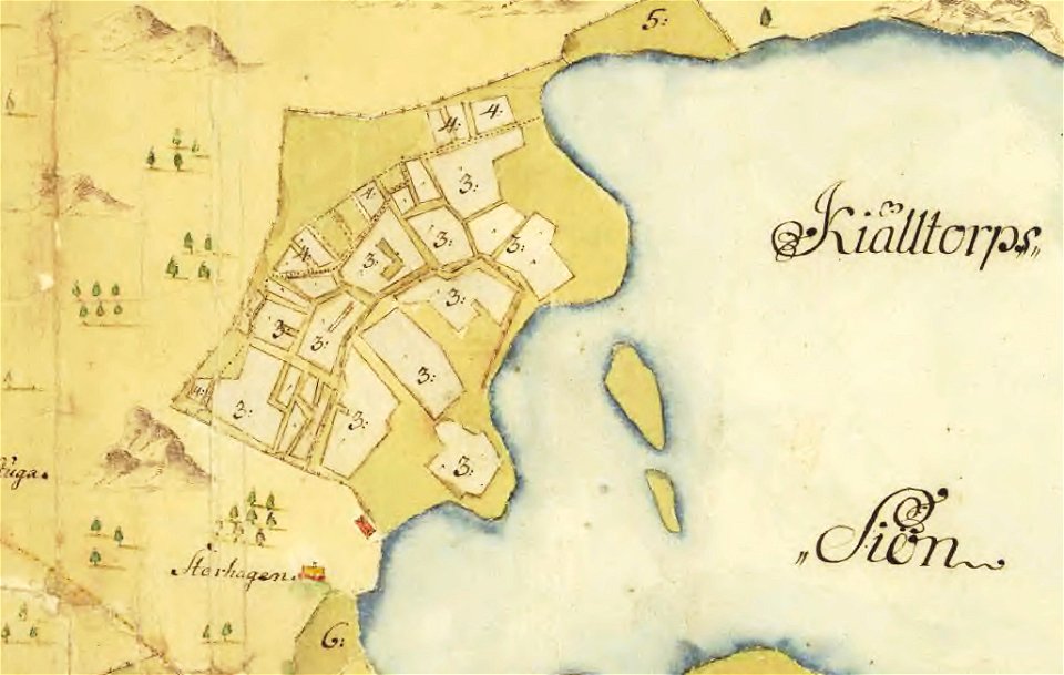
maps of lars kietzlingh
nacka
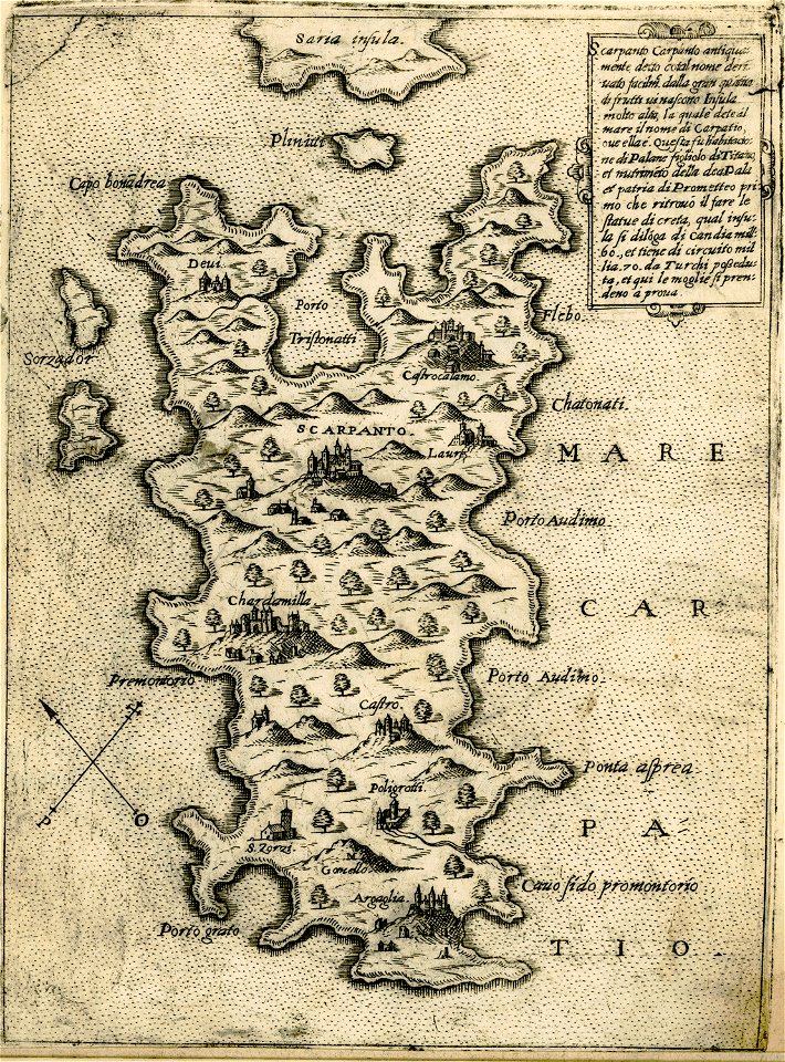
maps of karpathos
giovanni camocio
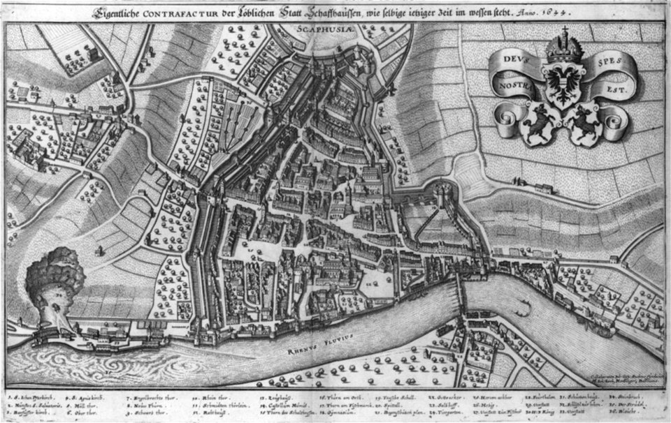
rhaetiae et valesiae
merian helvetiae
description de l'universe
old maps of valletta
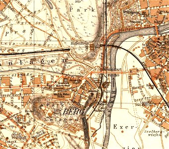
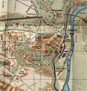
city maps with villa berg
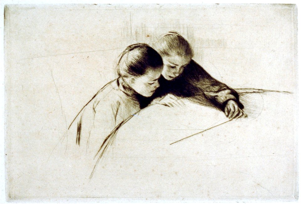
fine prints in the library of congress
prints by mary cassatt
prints in the rijksmuseum amsterdam
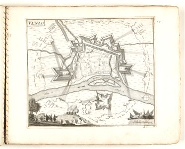
old maps of venlo
description de l'universe
old maps of japan
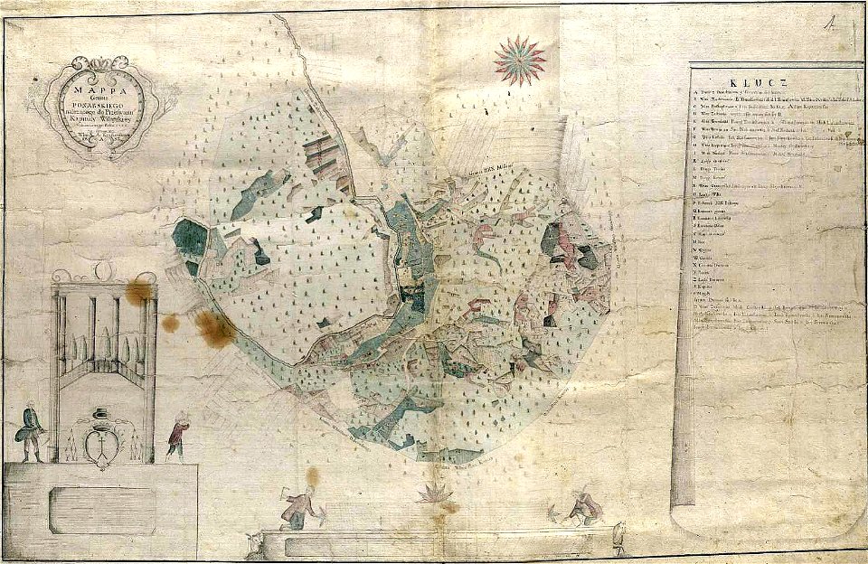
history of vilnius
maps of vilnius
city maps with villa berg
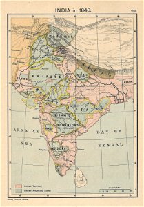
1848 in india
india
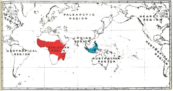
primates distribution maps
handbook to the primates
lepsius-projekt - maps
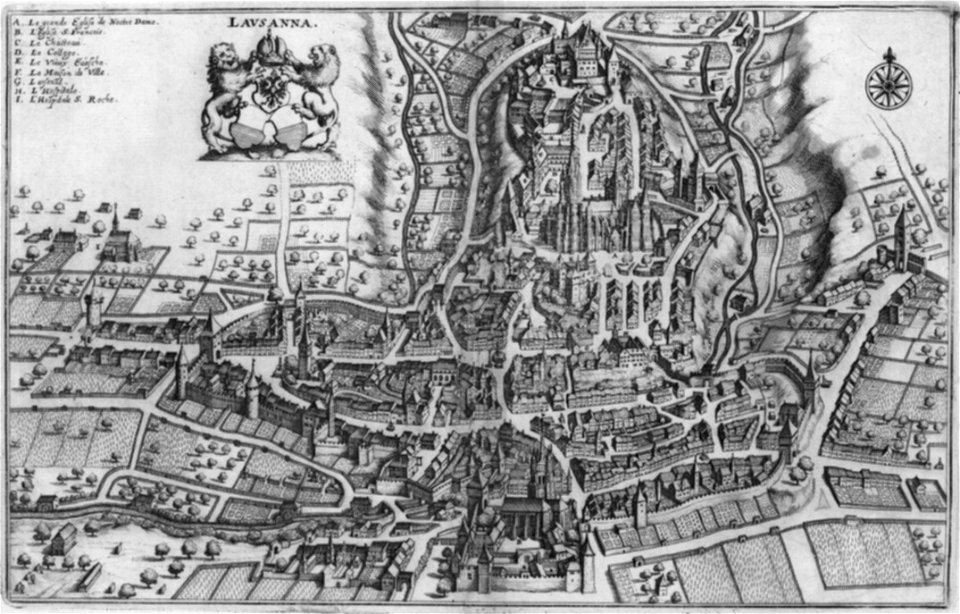
maps of lausanne
merian helvetiae
kammeckers malmgård
maps of östermalm
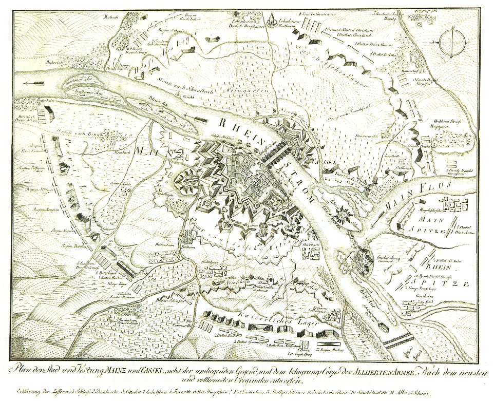
mainz in the 18th century
historical maps of mainz
maps of bodenseekreis
counts of montfort
old maps of istanbul
giuseppe rosaccio
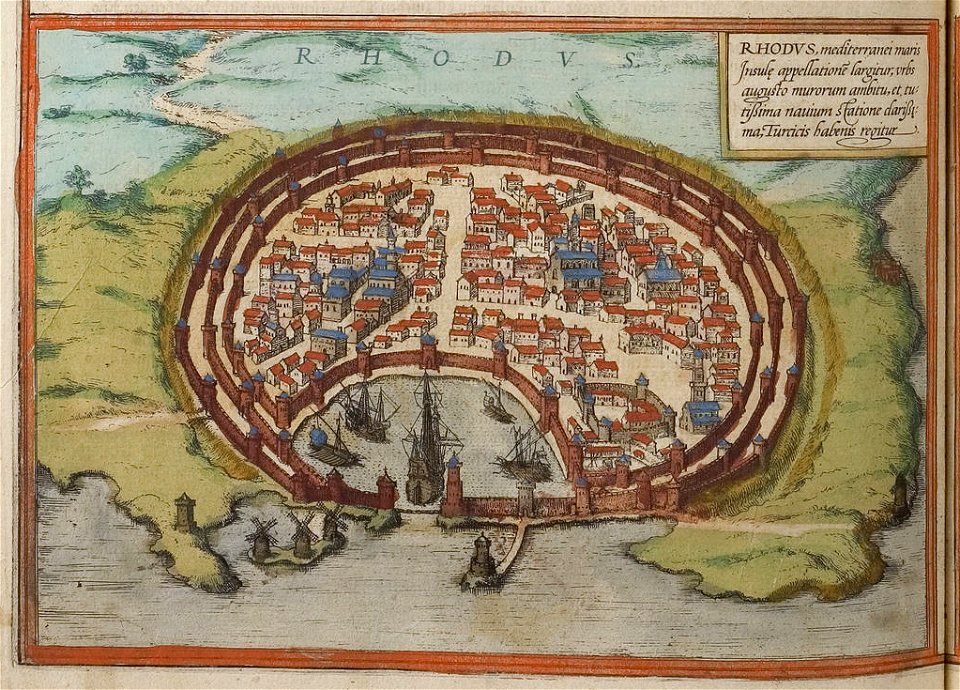
old maps of rhodes (city)
braun & hogenberg
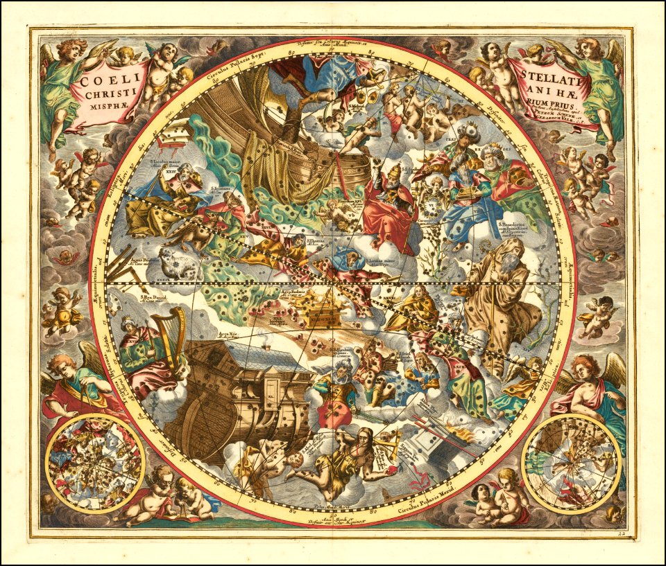
andreas cellarius
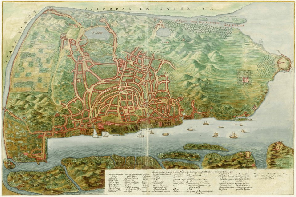
goa (island)
1665
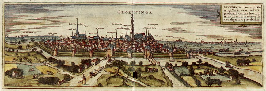
maps of groningen (city) by braun & hogenberg
old maps of amsterdam
evert maaskamp
old maps of amsterdam
evert maaskamp
old maps of amsterdam
evert maaskamp
map of ferrara by andrea bolzoni
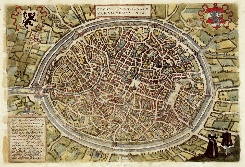
maps of bruges by braun & hogenberg
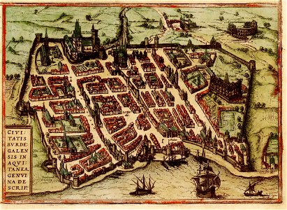
old maps of bordeaux
braun & hogenberg
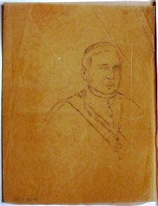
drawings in the museu antônio parreiras
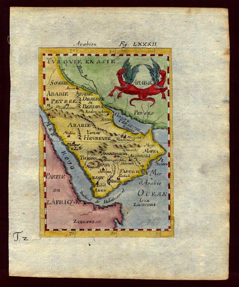
description de l'universe
saudi arabia
map postcards
poetry
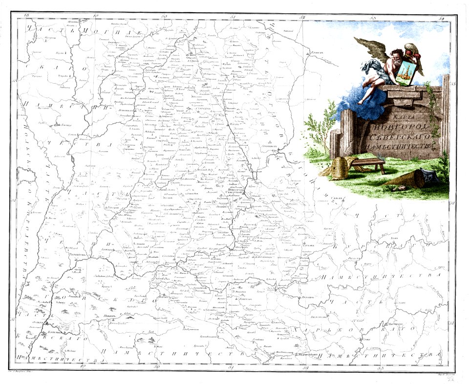
atlas of the russian empire (1792)
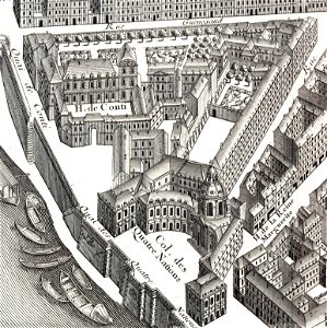
sheet 11 of the turgot map of paris
maps of paris in the 1730s
plan de turgot
maps of the wawel cathedral
walery eljasz-radzikowski
maps made in the 18th century
maps by pieter schenk (i)
maps made in the 17th century
guillaume sanson
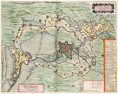
maps by willem and johannes blaeu
circumvallation
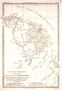
prints from bonne atlas de toutes les parties at the peace palace library
dien (printer)
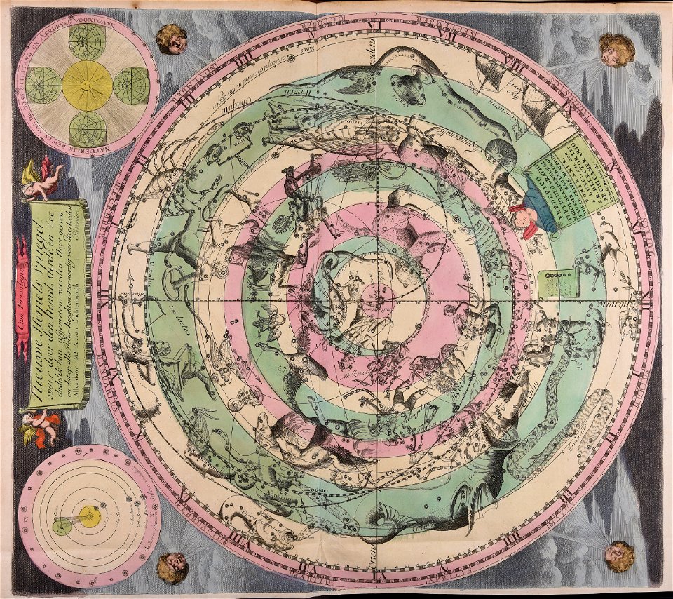
maps made in the 18th century
old celestial maps
10701 - 10800 of 357,549
Next page
/ 3576