Log in
All resources
Create a design
Tools
357,549 Free Images of Map
maps
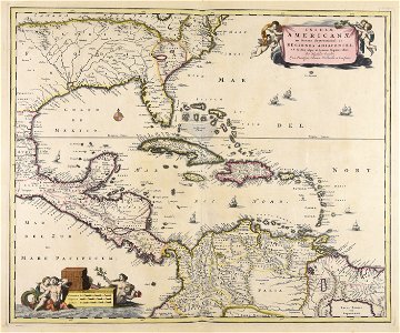
maps by pieter schenk (i)
maps made in the 17th century
gerard valck
maps made in the 18th century
atlantis magni tomus quintus (biblioteca comunale di trento)
maps with cartouches
atlas van der hagen
background
countries
19th-century satirical maps
19th-century satirical maps
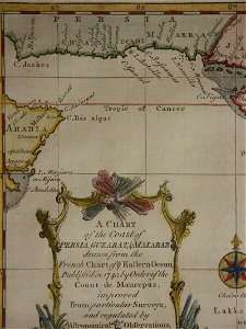
18th-century maps of india
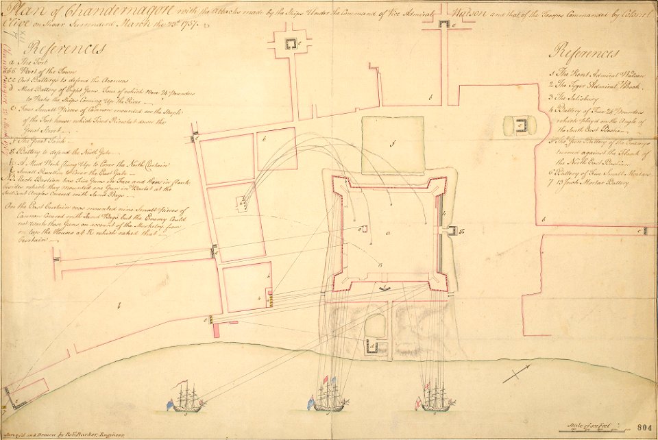
thomas salmon (historian)
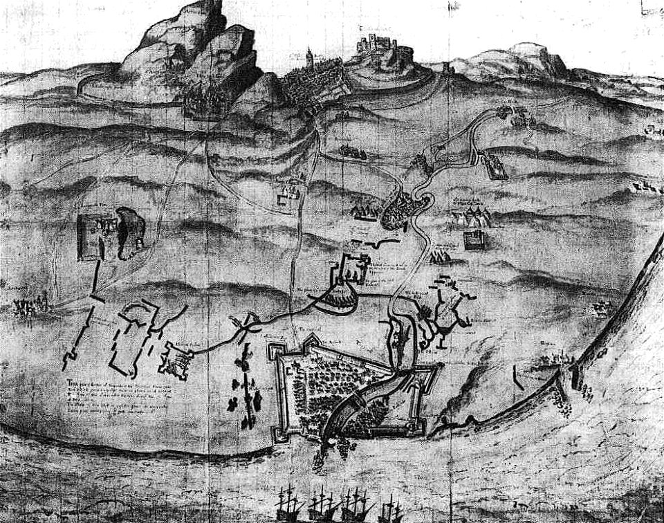
siege
leith
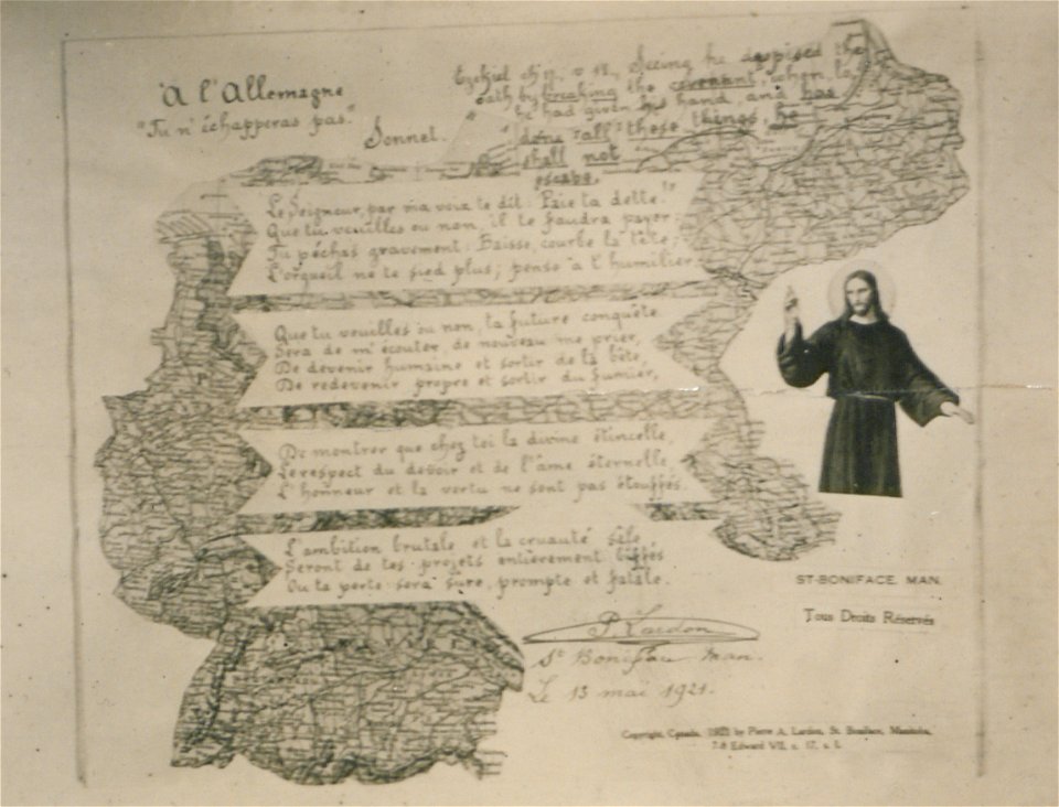
map postcards
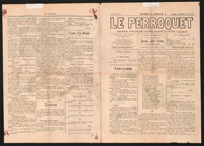
poetry
maps by willem and johannes blaeu
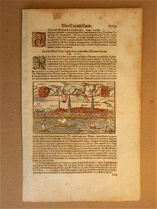
illustrations of cosmographia (münster)
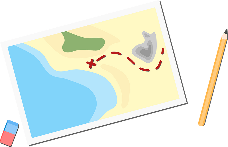
old map
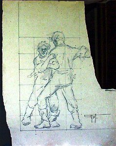
drawings in the museu antônio parreiras
maps in the stadsarchief amsterdam
sherwood studio building
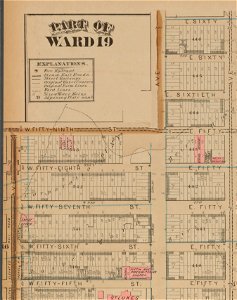
maps of new york city
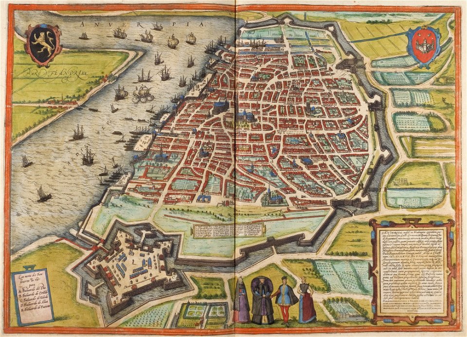
1596
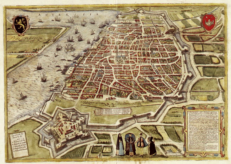
maps of antwerp by braun & hogenberg
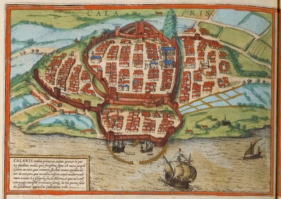
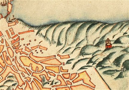
old maps of cagliari
braun & hogenberg
maps of brussels by braun & hogenberg
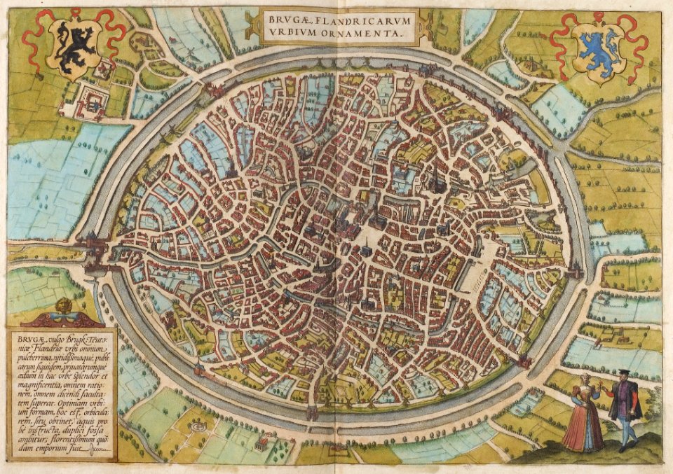
maps of bruges by braun & hogenberg
maps of antwerp by braun & hogenberg
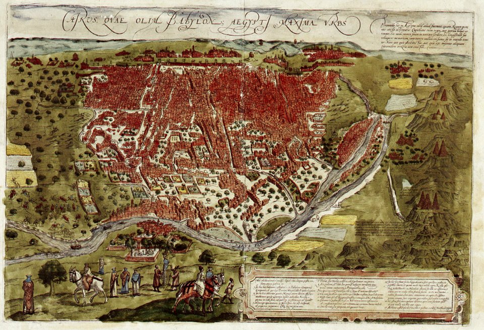
map of cairo by braun & hogenberg
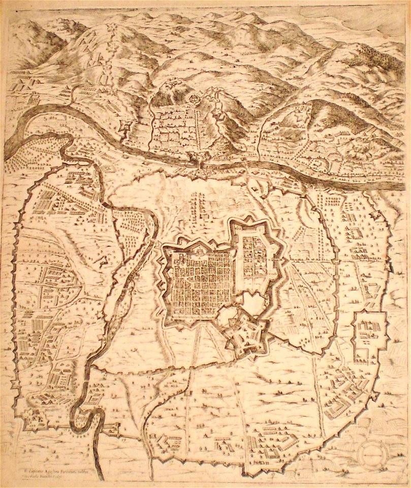
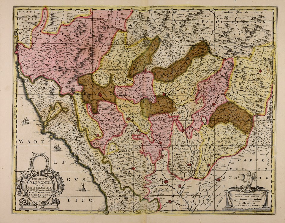
old maps of turin
old map of stockholm 1642
södermalm
historical images of viciebsk
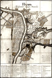
maps of viciebsk
old maps of lower austria
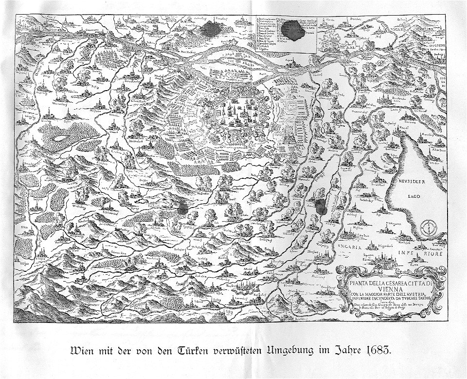
battle of vienna
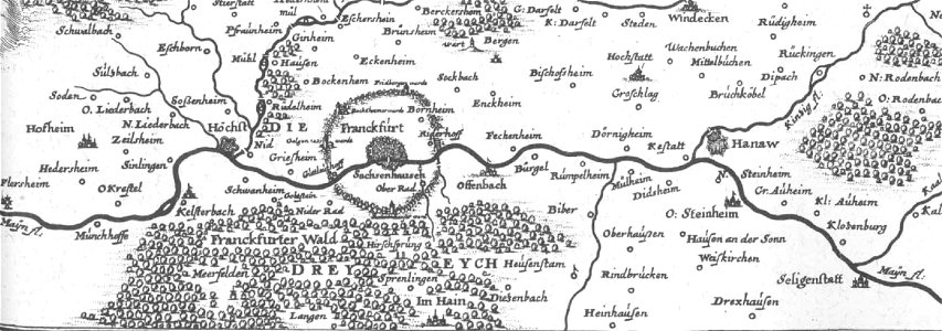
old maps of hesse
dreieich
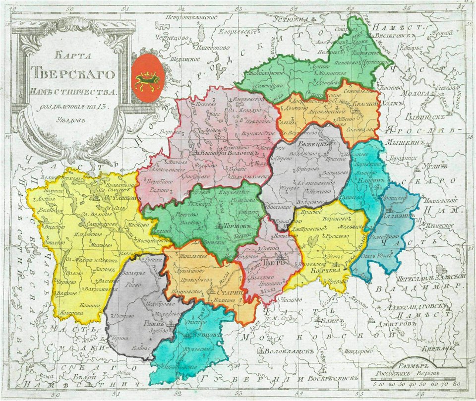
maps of tver governorate
tver viceroyalty
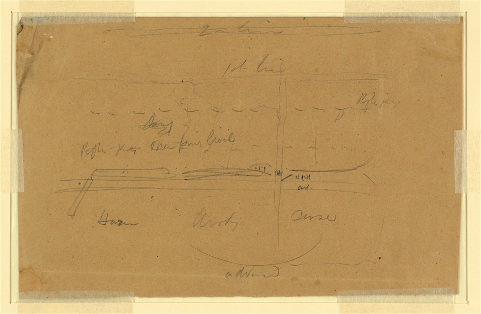
drawings (documentary) collection in the library of congress
edward lear
symbol
maps
national
maps
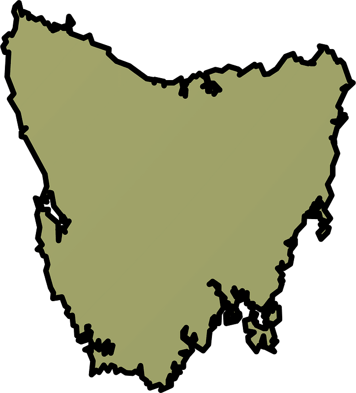
australia
maps
cartography
maps
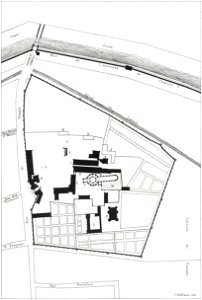
17th-century maps of maastricht
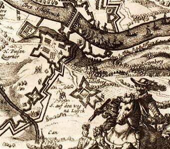
maps of the franco-dutch war
maps and topographical views by joris hoefnagel
crete under venetian rule
maps made in the 18th century
maps by pieter schenk (i)
1780 in south america
1780 maps
1853
54
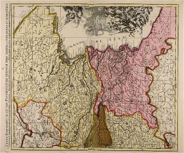
atlantis magni tomus quintus (biblioteca comunale di trento)
maps made in the 18th century
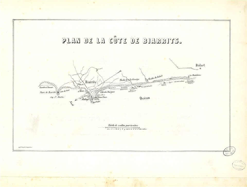
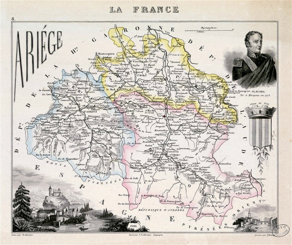
fonds ancely - bibliothèque municipale de toulouse - maps
historical images of biarritz
maps with cartouches
atlas van der hagen
maps made in the 17th century
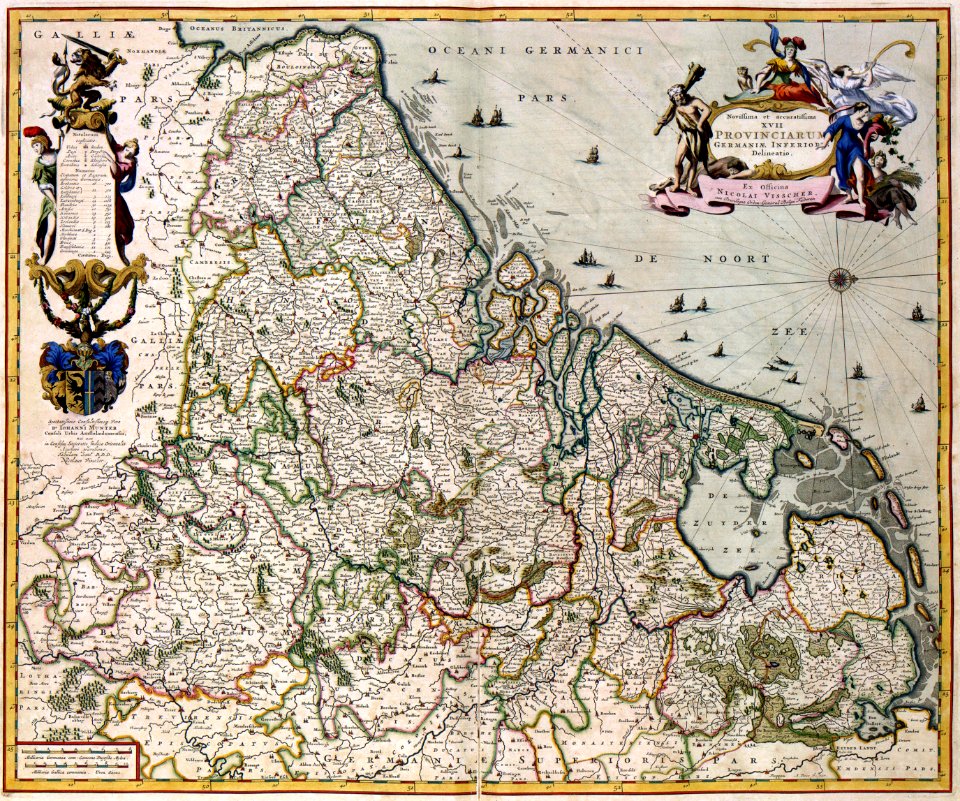
nicolaes visscher ii
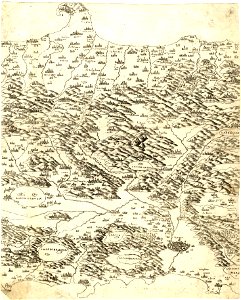
maps made in the 16th century
old maps of lazio
maps made in the 18th century
terra santa
fonds ancely - bibliothèque municipale de toulouse - maps
coats of arms of foix
gerard valck
lazio
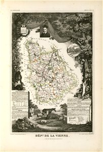
coats of arms of cities in vienne
frédéric-auguste laguillermie
old maps of north rhine-westphalia
lower rhine region
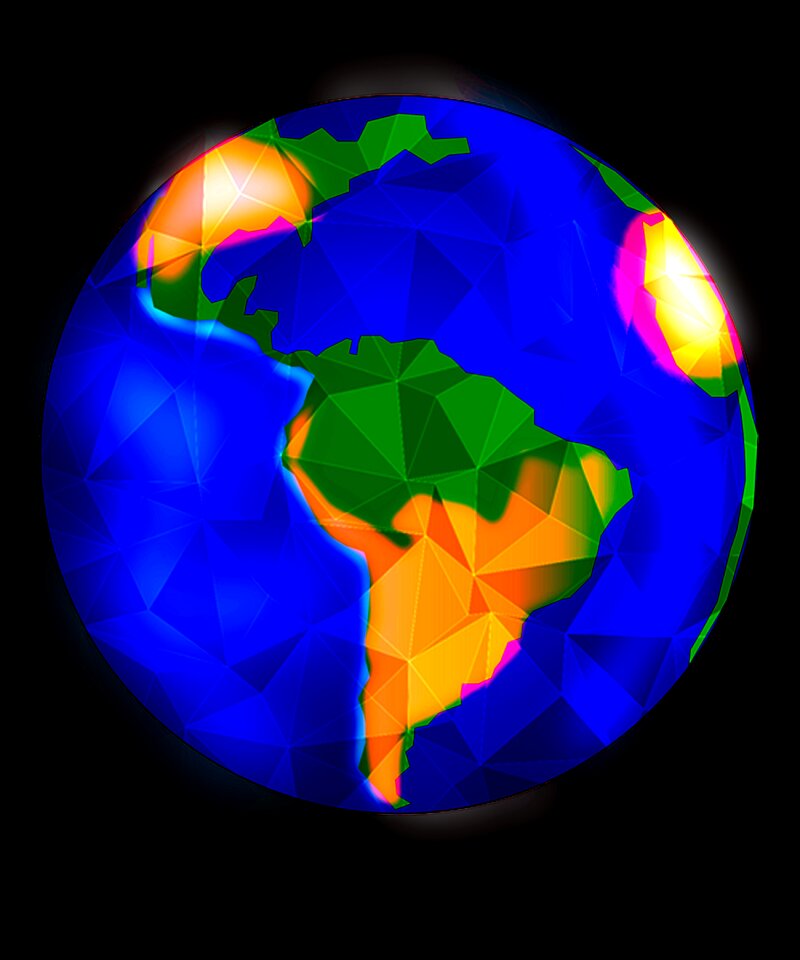
earth
maps
background
city
background
maps
background
maps
maps made in the 17th century
gerard valck
maps made in the 17th century
gerard valck
thomas albrecht pingeling
old maps of neuwerk
maps in the royal collection of the united kingdom
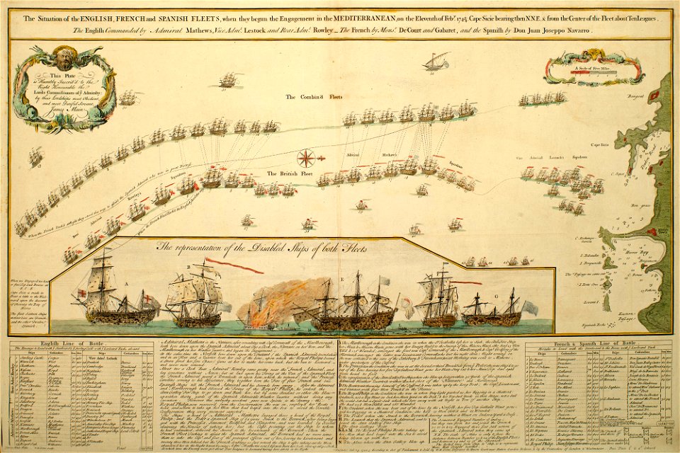
1746
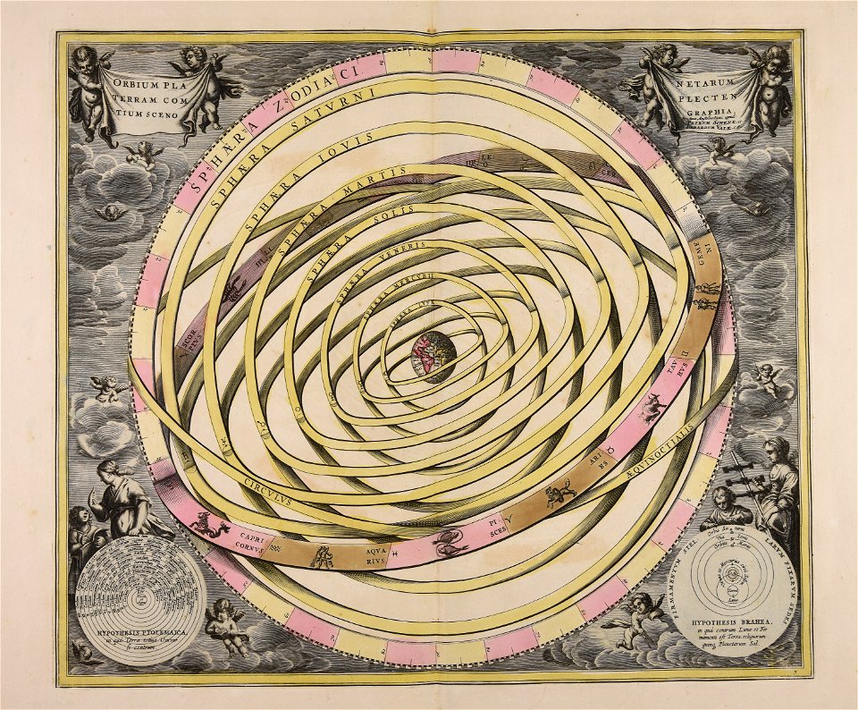
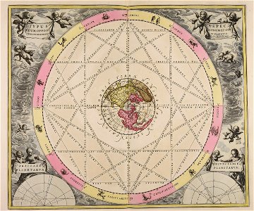
sistema solar
gerard valck
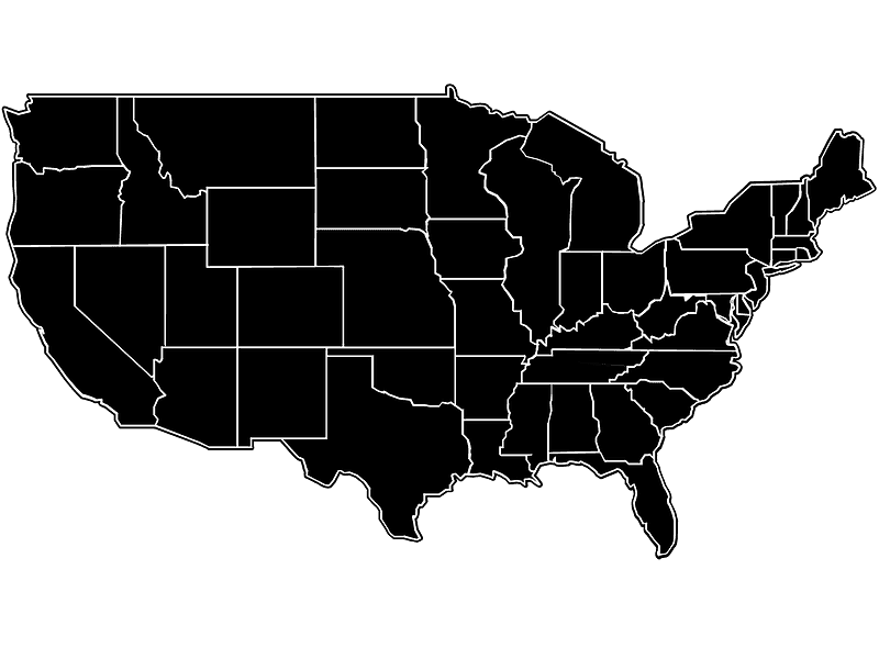
us states
maps
symbols for hydrogeological maps
self-published work
symbols for hydrogeological maps
self-published work
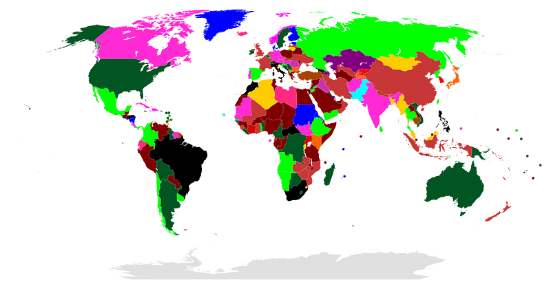
national anthem
continent
river
roads
background
maps
background
maps
maps made in the 17th century
gerard valck
maps with cartouches
abraham goos
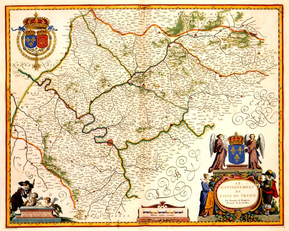
17th-century maps of france
maps with cartouches
17th-century maps of france
maps with cartouches
17th-century maps of france
maps with cartouches
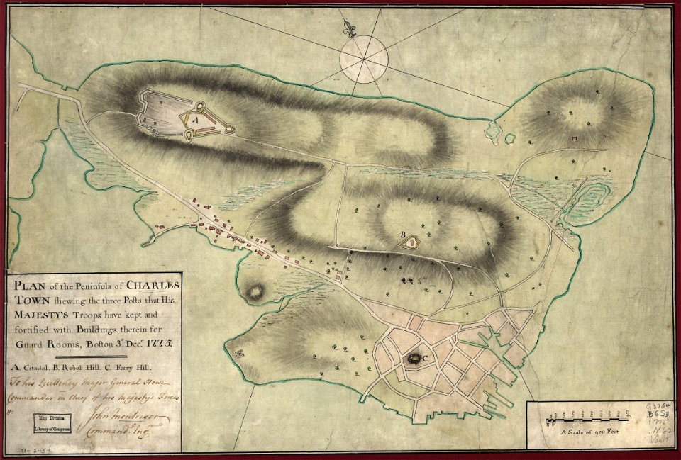
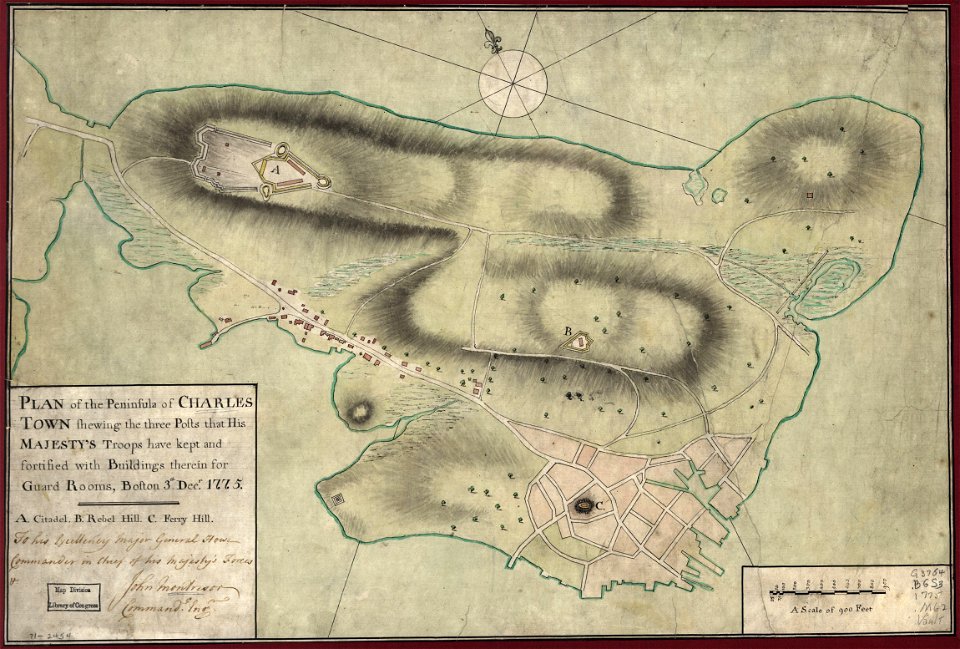
maps in the library of congress
1775 maps of boston
maps in the library of congress
1775 maps of boston
francis d'avignon
north america
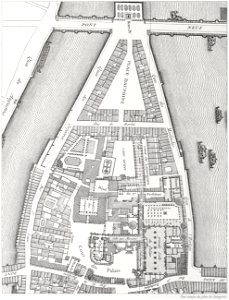
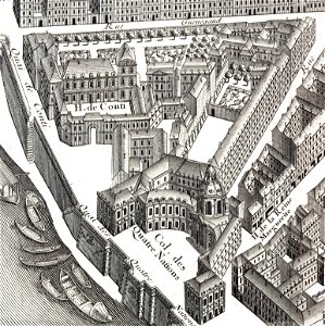
lithographs of paris
floor plans of paris
maps made in the 18th century
cornelis danckerts (i)
17th-century maps of maastricht
maastricht
map icons
pd-user
maps
sea
peace
dove
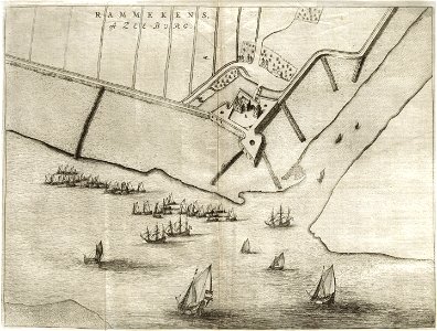
fort zeelandia, taiwan in art
siege of fort zeelandia
maps
flag
wikimania 2021 symbols
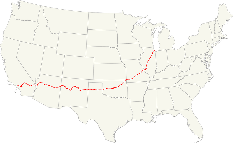
roadmap
route 66
maps
flag
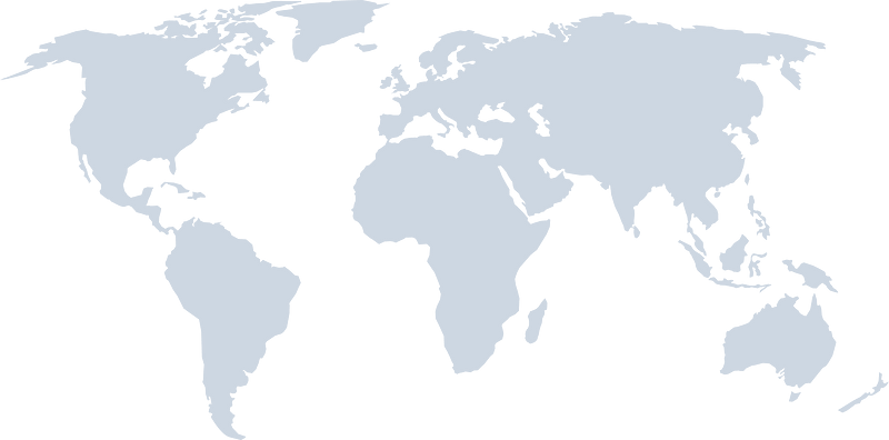
continent
maps
background
maps
1726
asie
historical images of pont neuf
lithographs of paris
maps made in the 17th century
gerard valck
maps made in the 17th century
gerard valck
maps made in the 18th century
gerard valck
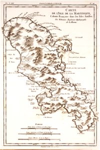
18th-century maps of martinique
dien (printer)
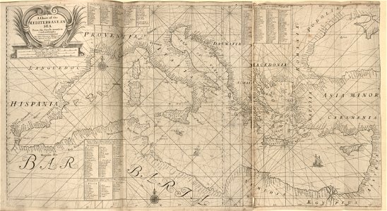
charts and maps of the royal museums greenwich
1682 maps
old maps of france
1730
maps with cartouches
atlas van der hagen
18th-century maps of stockholm
johann baptist homann
hôtel de guénégaud (quai de nevers)
turgot map of paris
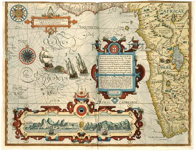
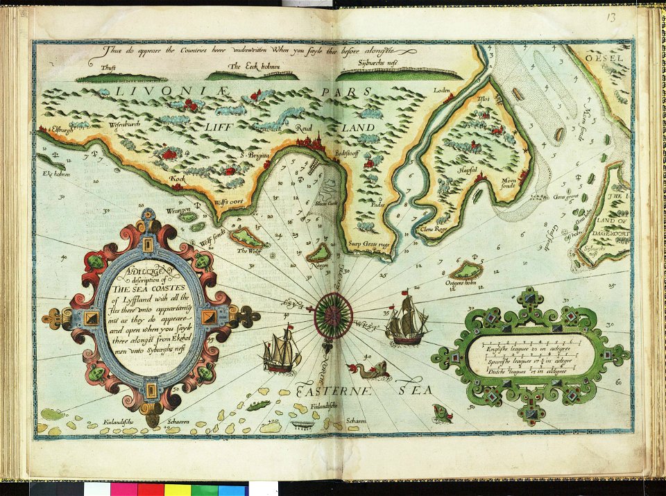
lucas janszoon waghenaer
1588 maps
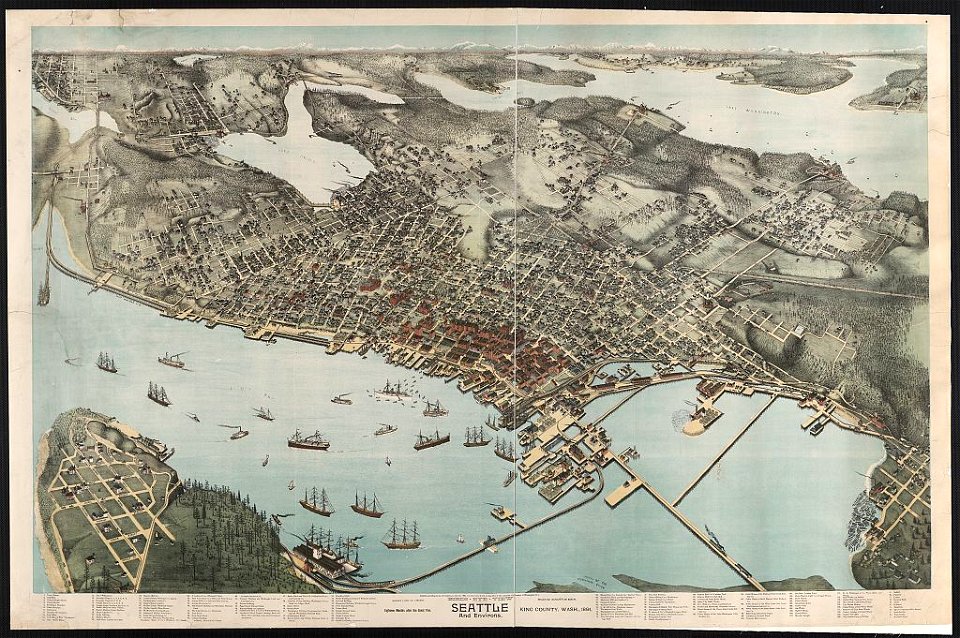
lithographs of cities in the united states
1891 in seattle
maps made in the 17th century
guillaume sanson
lepsius-projekt - maps
description de l'universe
old maps of japan
description de l'universe
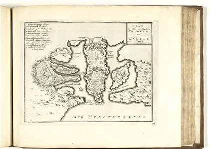
old maps of valletta
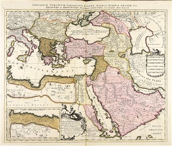
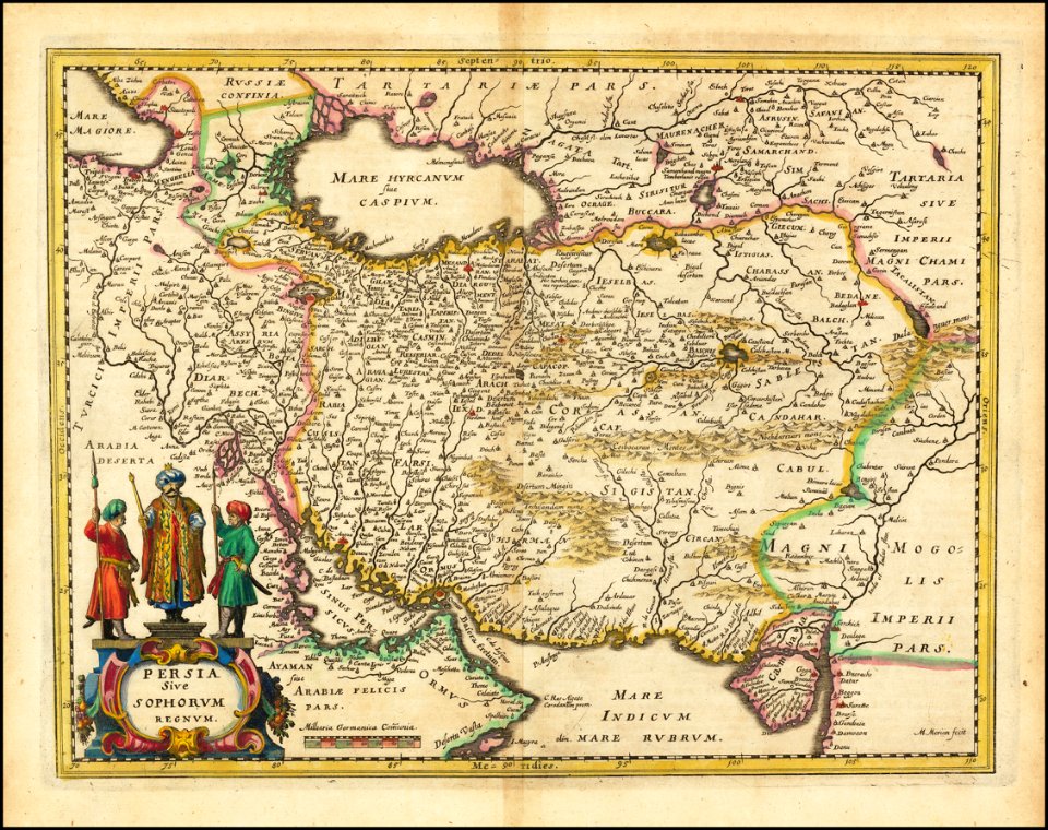
old maps of iran
matthäus merian
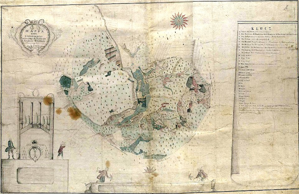
history of vilnius
maps of vilnius
10601 - 10700 of 357,549
Next page
/ 3576