Log in
All resources
Create a design
Tools
357,549 Free Images of Map
maps
maps made in the 18th century
gerard valck
maps made in the 17th century
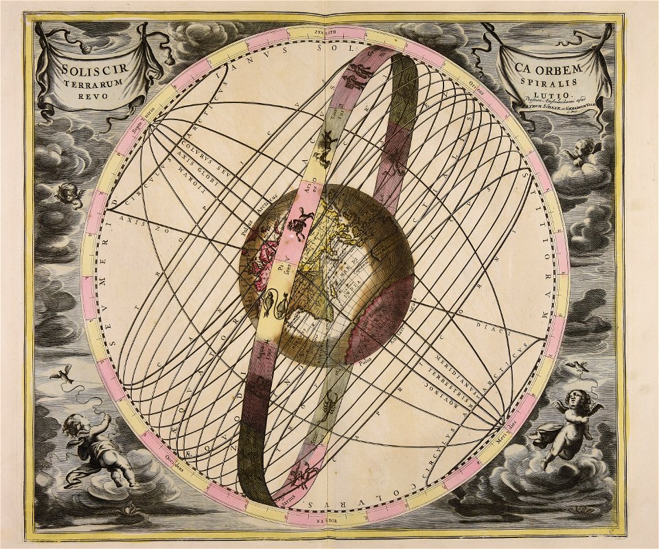
old celestial maps
atlantis magni tomus primus (biblioteca comunale di trento)
cellarius harmonia macrocosmica
pieter schenk (i)
geography
maps by pieter schenk (i)
maps by willem and johannes blaeu
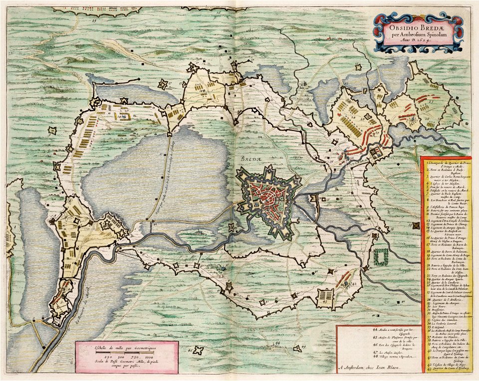
circumvallation
maps made in the 17th century
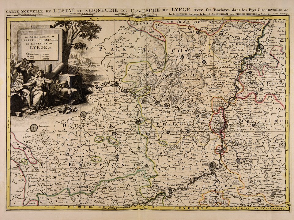
guillaume sanson
maps made in the 18th century
maps by pieter schenk (i)
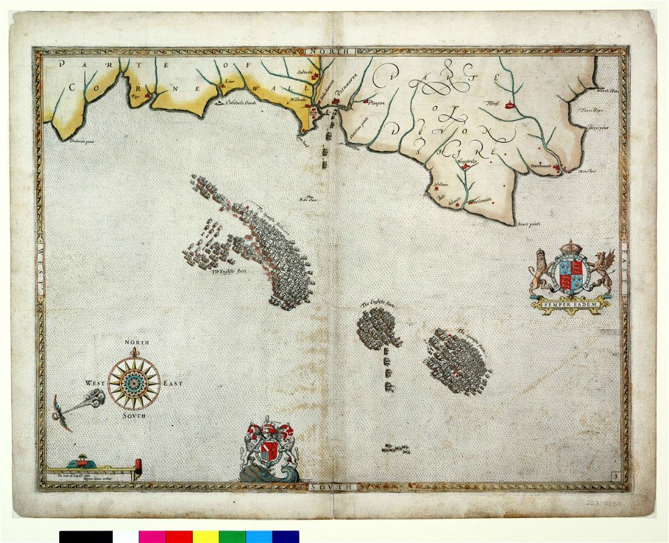
charts and maps of the royal museums greenwich
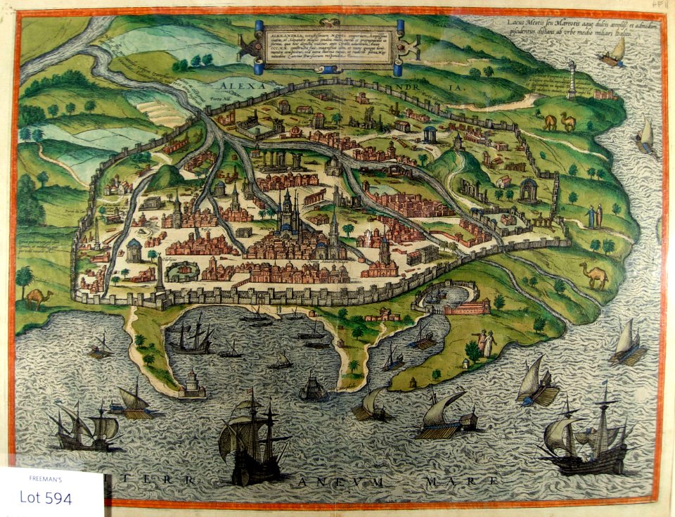
1590 maps
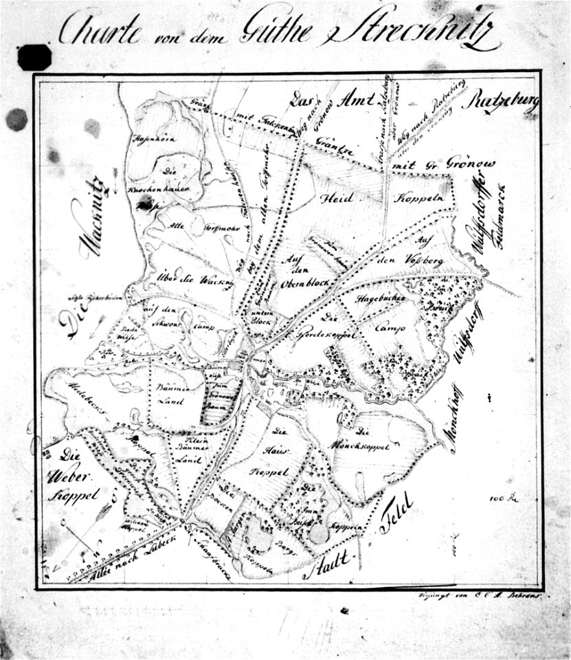
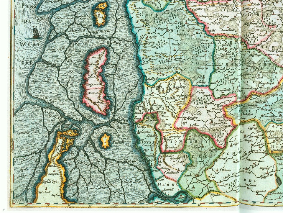
ducatus sleswici pars borealis
maps by johannes mejer
lepsius-projekt - maps
historical maps of lübeck
lübeck-st. jürgen
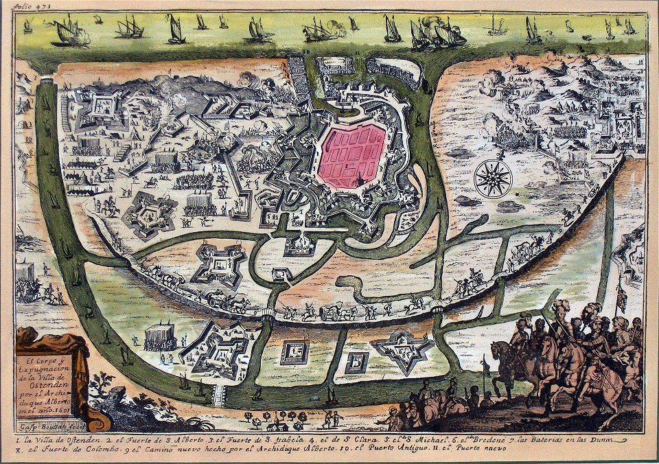
siege of ostend
low country
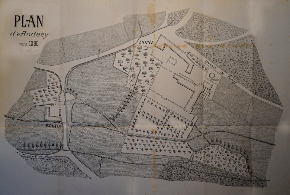
abbaye d'andecy
1890 in marne
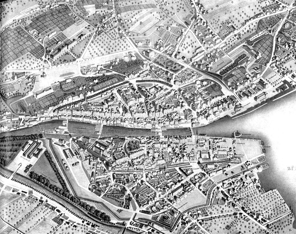
1846 in switzerland
old maps of zürich
maps in the stadsarchief amsterdam
jacobus verheyden
ducatus sleswici pars borealis
maps by johannes mejer
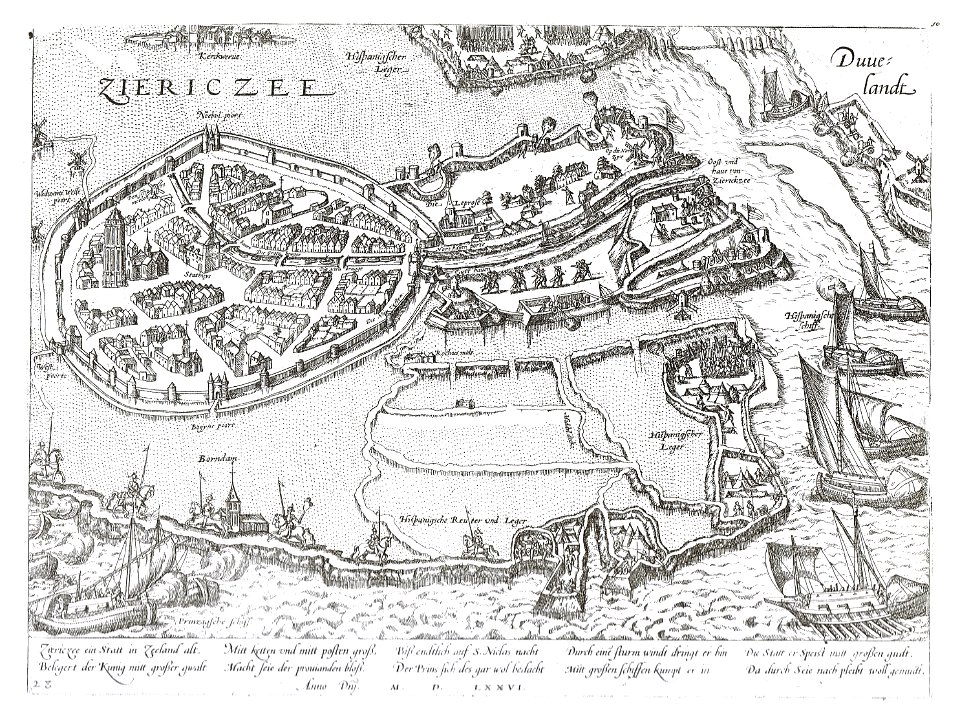
old maps of zierikzee
braun & hogenberg
tranchot maps snippets
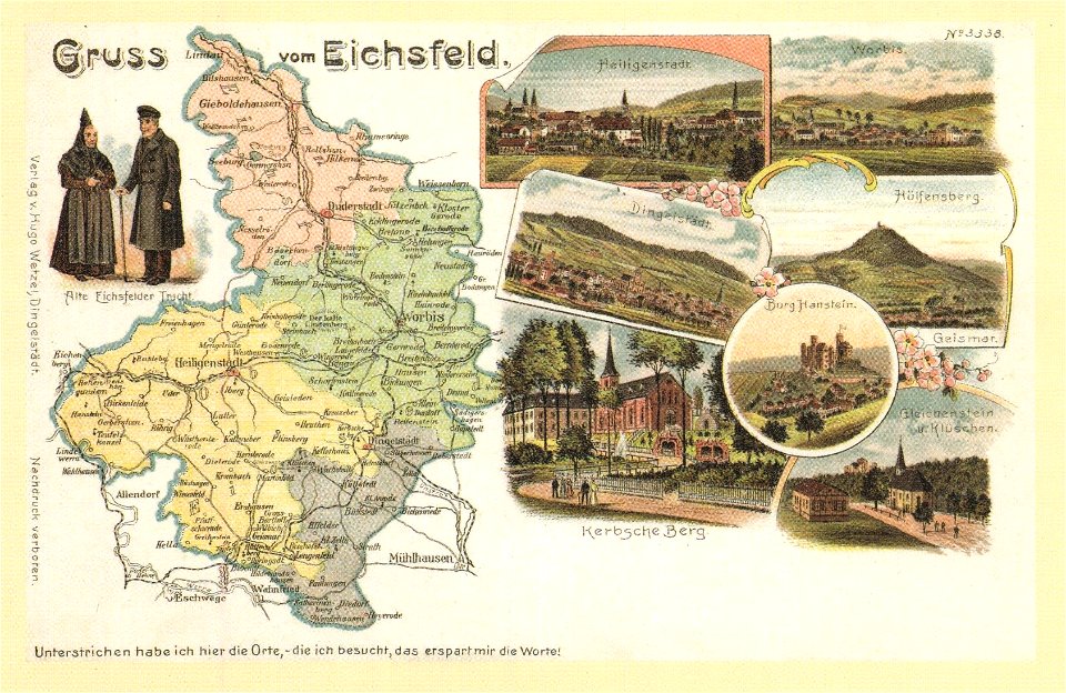
angelsdorf
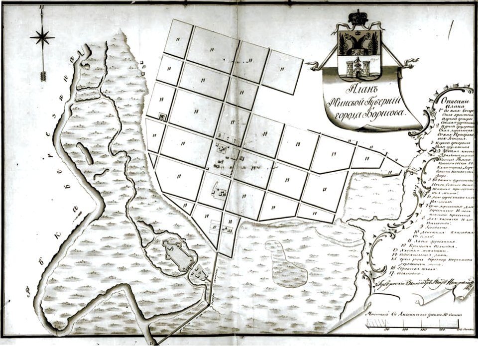
historical images of barysaŭ
maps of barysaŭ
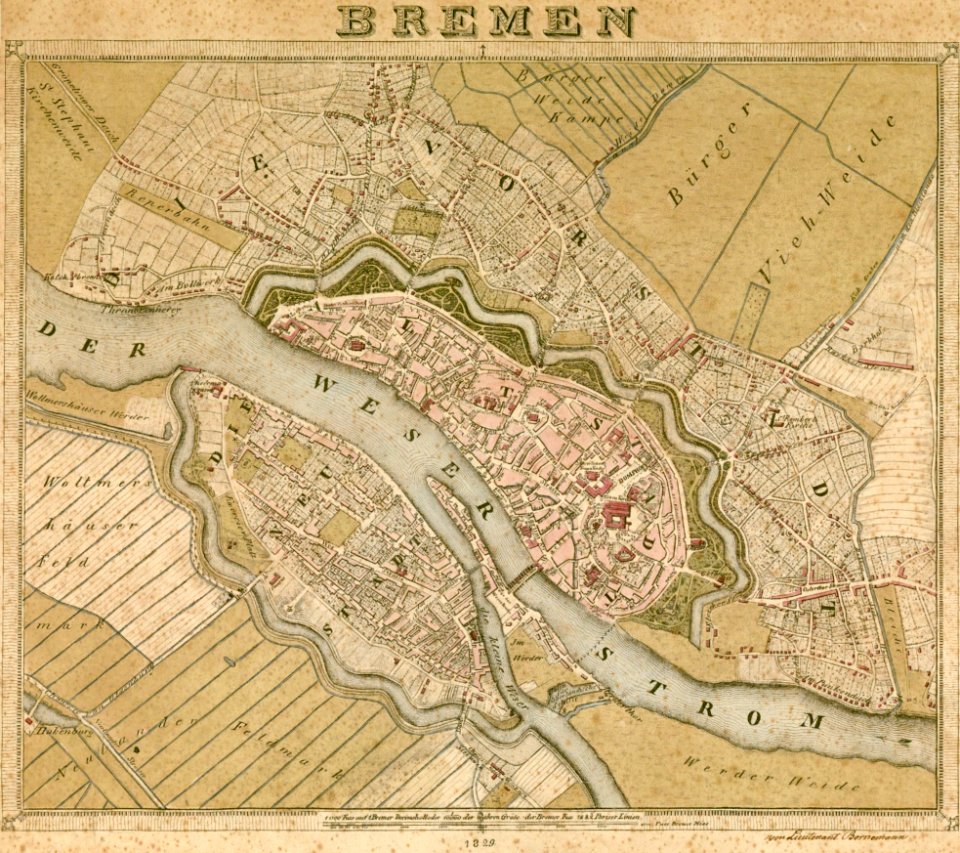
old maps of bremen (state)
bremen in the 1820s
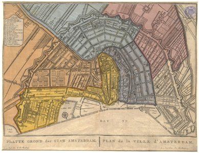
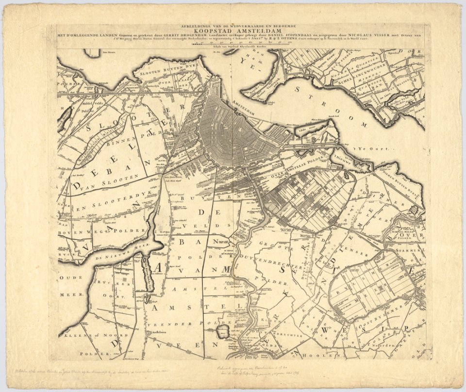
old maps of amsterdam
evert maaskamp
old maps of amsterdam
evert maaskamp
illuminated manuscripts in istanbul university
old maps of istanbul
cartouche (cartography)
václav vavřinec reiner
atlas of the russian empire (1792)
old maps of oryol governorate
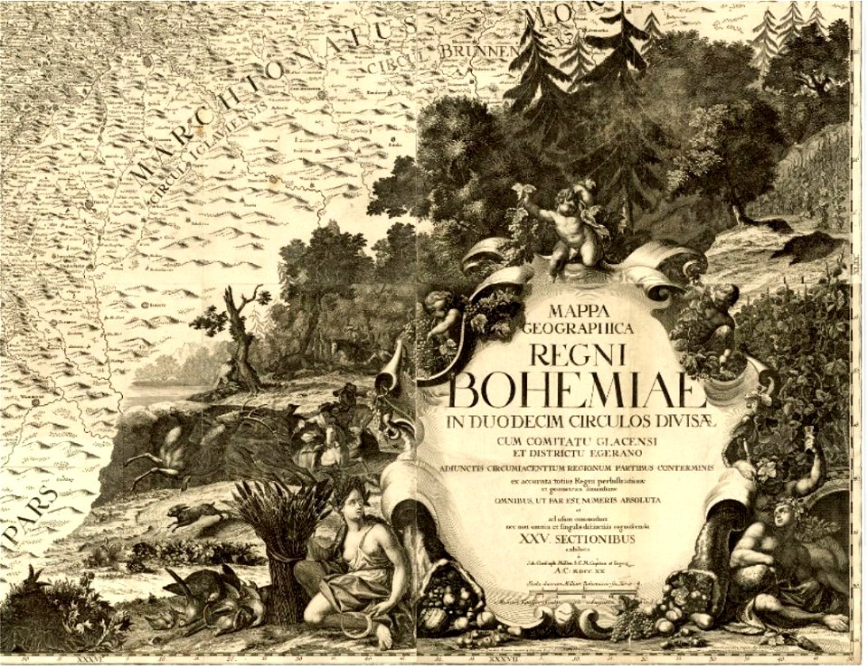
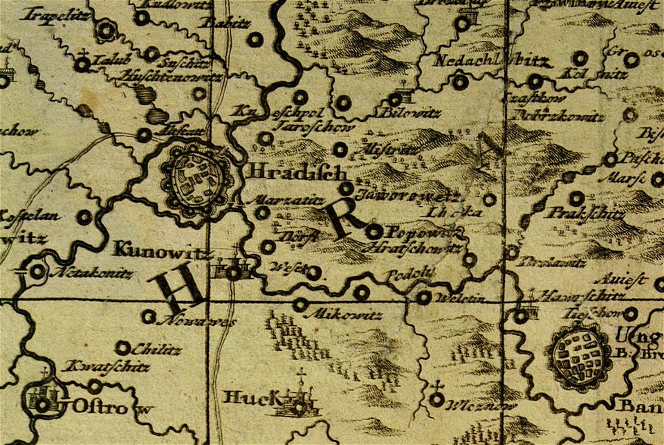
müller's map of moravia
hradčovice
old maps of greece
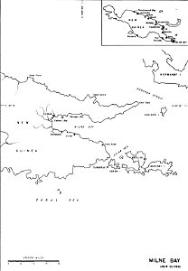
old maps of papua new guinea
milne bay
primates distribution maps
handbook to the primates
engravings of topographia saxoniae inferioris
old maps of hildesheim
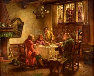
people with maps in art
fritz wagner (painter)
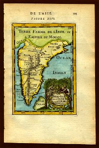
description de l'universe
deccan sultanates
l'egeo redivivo (1688)
lepsius-projekt - maps
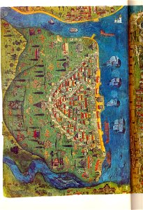
nile mosaic from palestrina
postcards with 9 images
map postcards
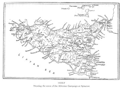
maps of the sicilian expedition
description de l'universe
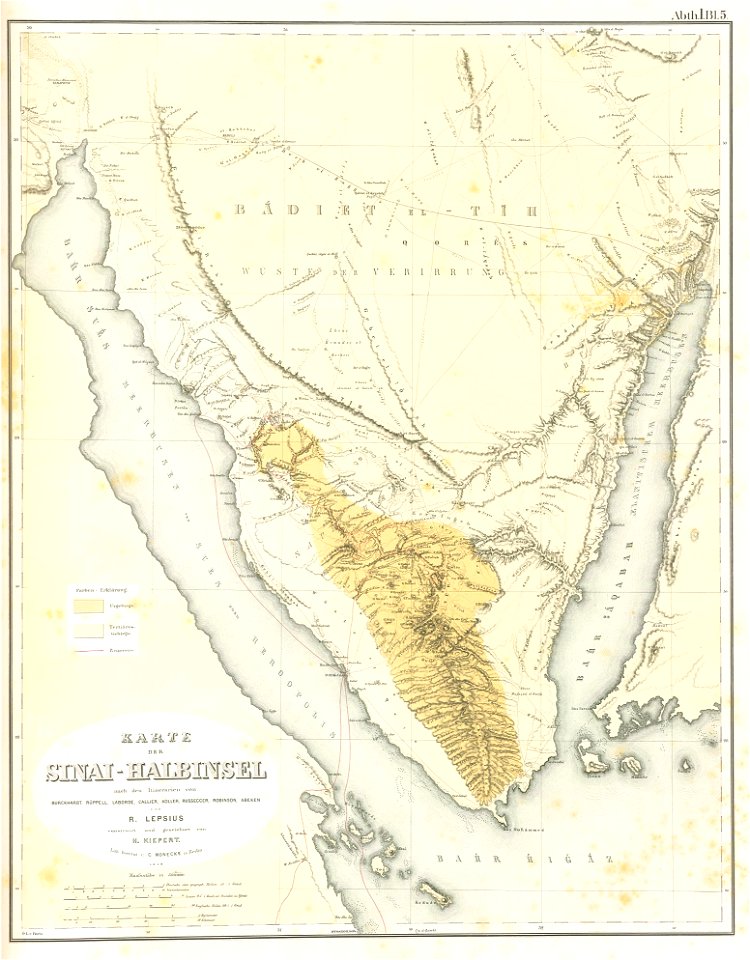
saudi arabia
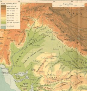
maps of the indus river
indus river
andreas cellarius
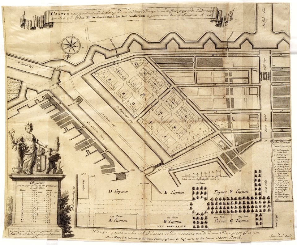
maps in the stadsarchief amsterdam
daniel stoopendaal
maps in the stadsarchief amsterdam
daniel stoopendaal
1665
1665
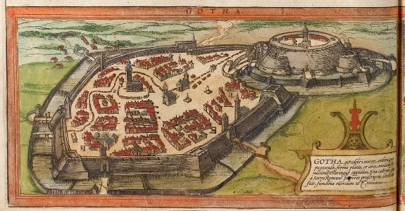
braun & hogenberg
history of gotha
maps of groningen (city) by braun & hogenberg
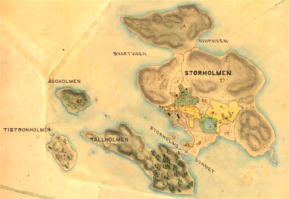
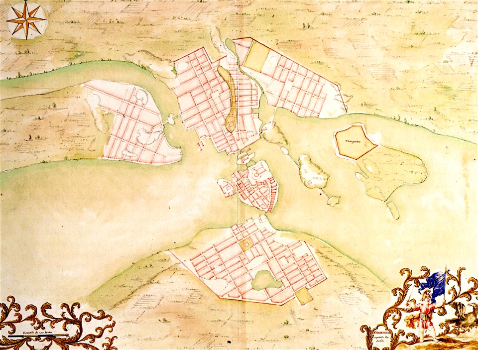
19th-century maps of stockholm
lidingö kommun
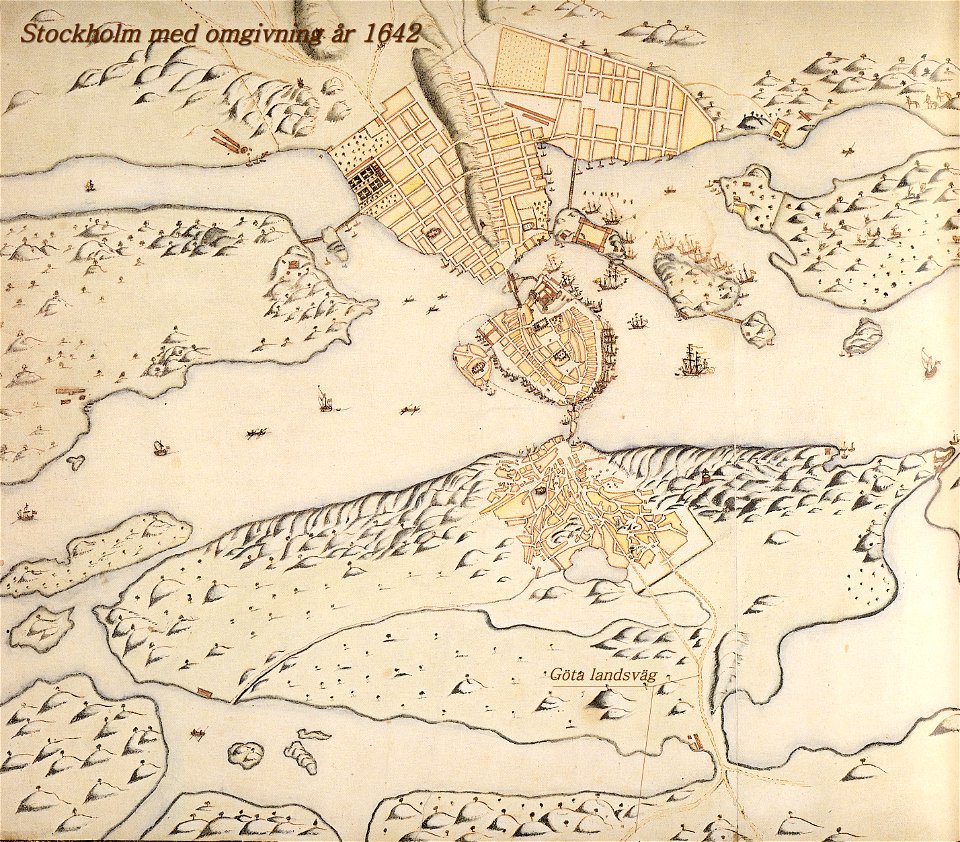
old map of stockholm 1642
göta landsväg
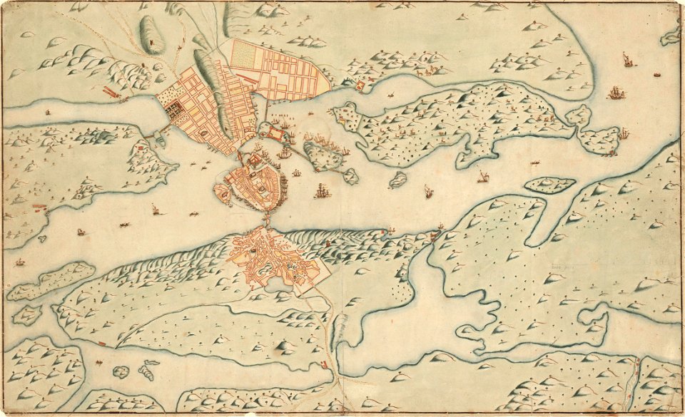
17th-century maps of stockholm
old map of stockholm 1642
1760s maps of the world
atlas of the russian empire (1792)
maps of wyborg governorate
maps by gustav adolf von varendorf
postcards of świnoujście
maps of świnoujście
17th-century maps of schleswig-holstein
tönning
city maps with villa berg
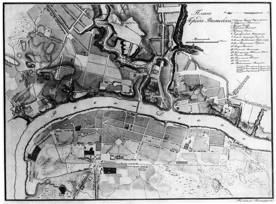
historical images of viciebsk
maps of viciebsk
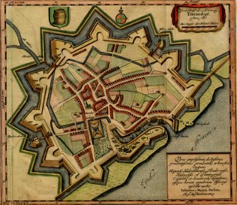
maps of schwäbisch gmünd
dominikus debler
travel
maps
maps
art
abstract
maps
gerard valck
earth
gerard valck
moti
new jersey
hoboken
maps made in the 17th century
johann christoph steinberger
maps showing history
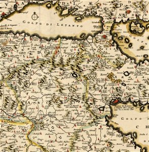
corfu
artworks with known accession number
artworks without wikidata item
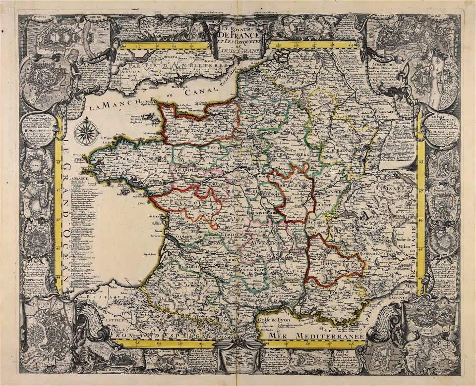
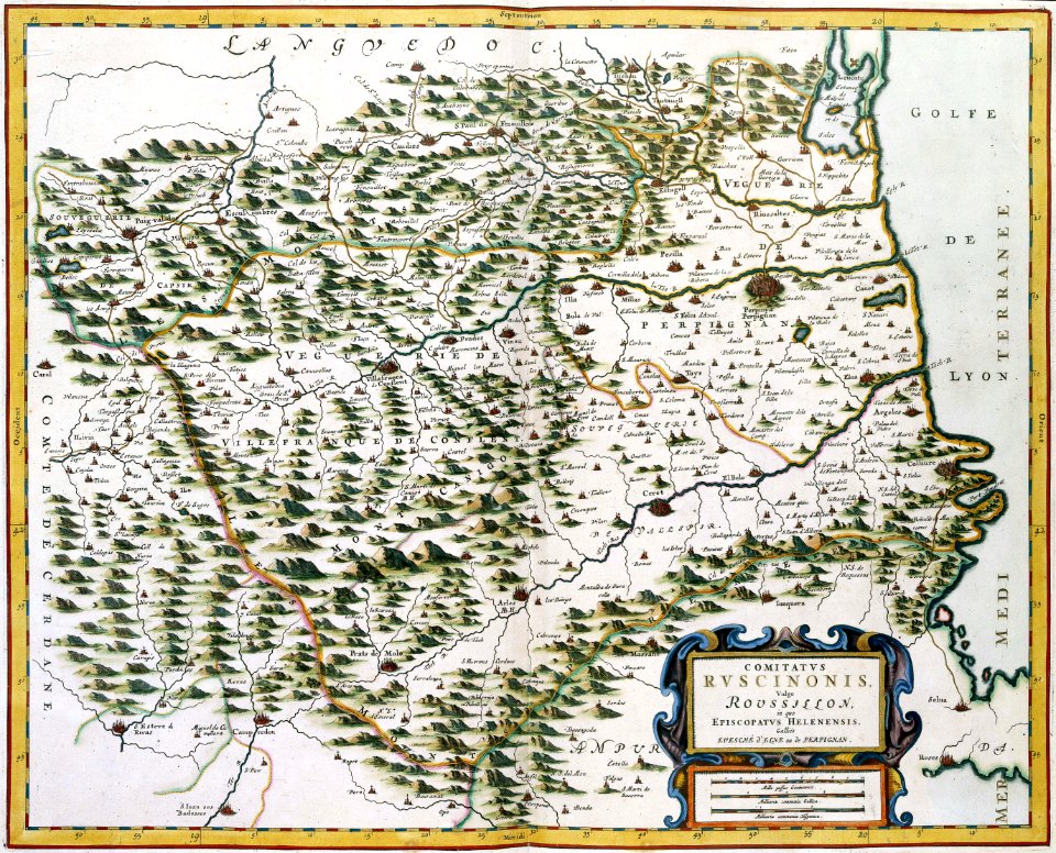
17th-century maps of france
maps with cartouches
maps made in the 17th century
gerard valck
old maps of zeeland
western scheldt
maps made in the 17th century
nicolaes visscher ii
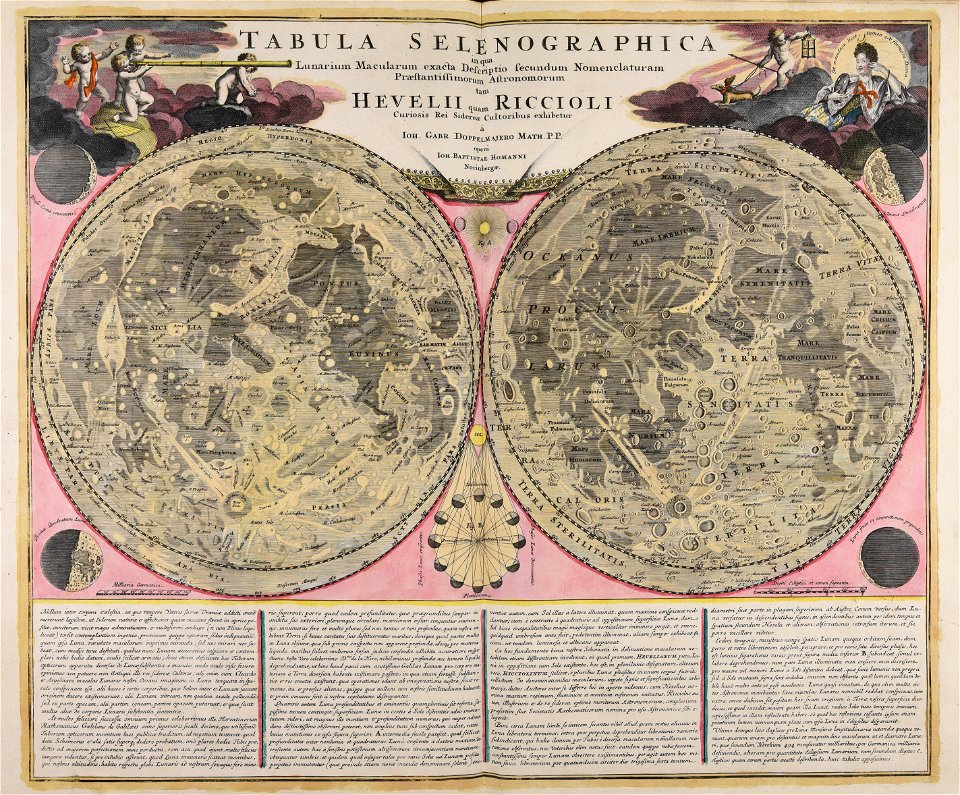
johann baptist homann
moon
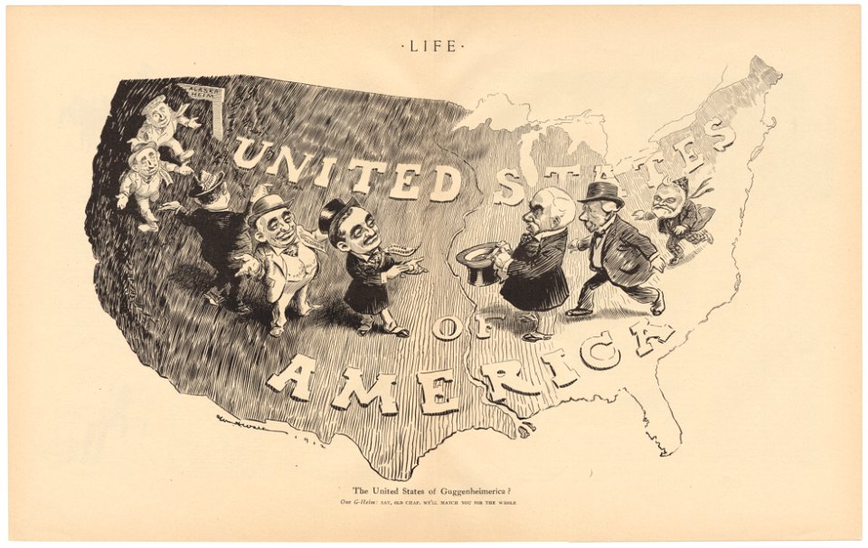
life
1912
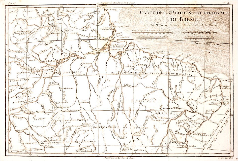
1780 in brazil
1780 maps
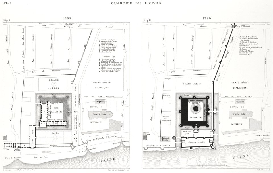
paris in the 16th century
lithographs of paris
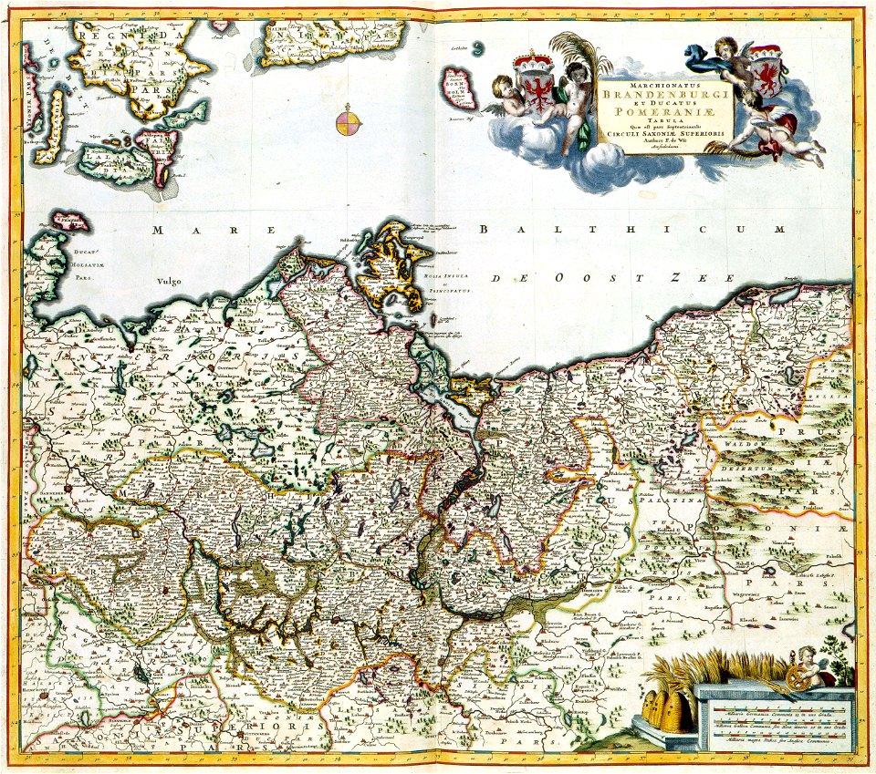
old maps of pomerania
maps with cartouches
maps with cartouches
atlas van der hagen
maps made in the 17th century
gerard valck
maps in the library of congress
1782 maps
maps in the library of congress
1782 maps
new jersey
hoboken
maps
flag
valid svg created with text editor:flag maps
logos of wikidata wikiprojects
maps
flag
self-published work
german flag
background
maps
maps
city
village
maps
background
maps
background
maps
background
maps
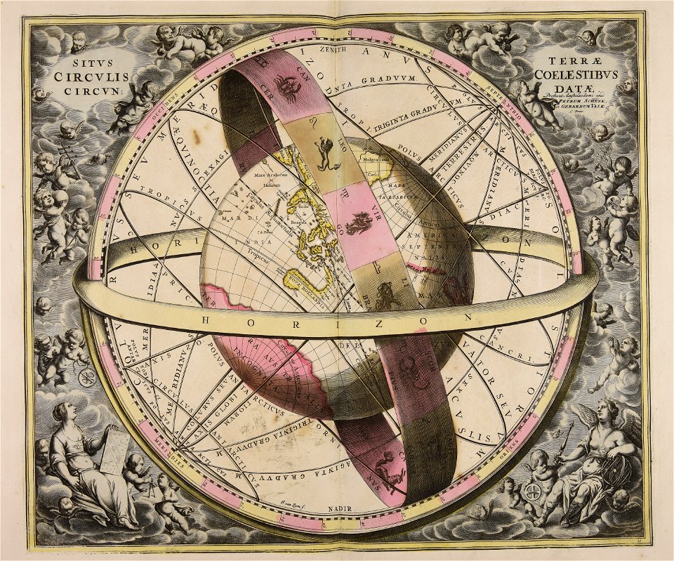
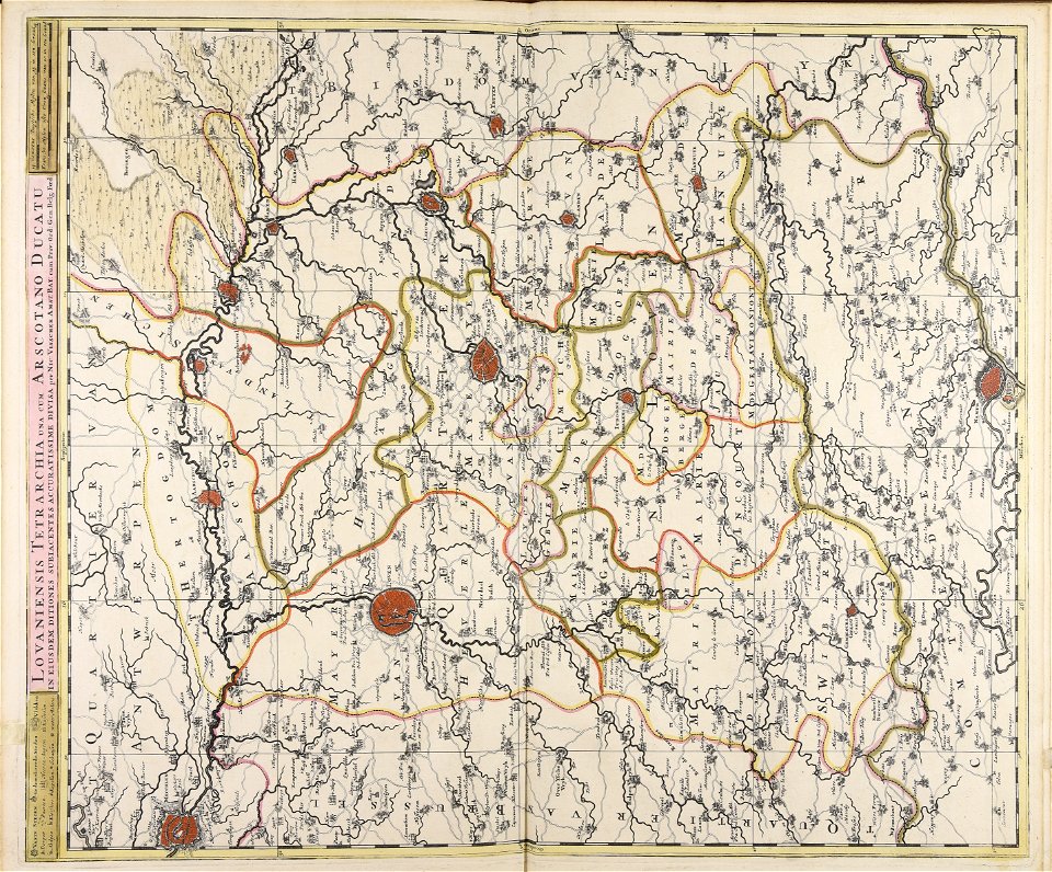
maps made in the 18th century
gerard valck
gerard valck
earth
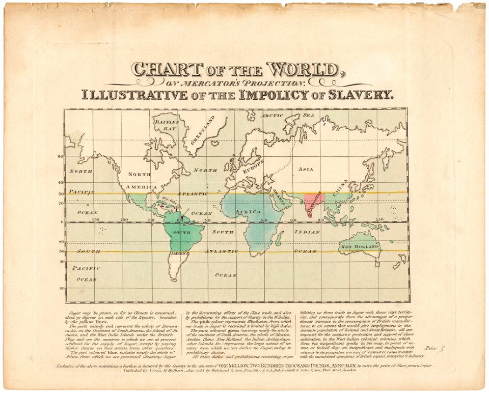
cornell university library
abolitionism
maps made in the 17th century
gerard valck
atlas van der hagen (volume 4)
maps with cartouches
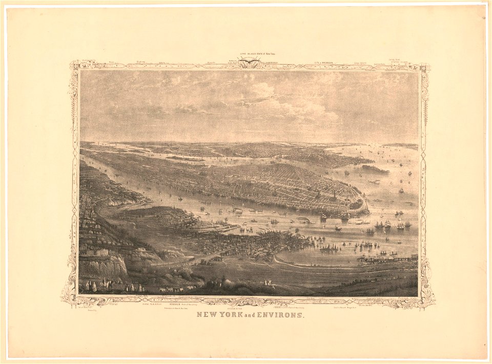
manual of the corporation of the city of new york (1856)
new york city
maps showing history
corfu
maps made in the 17th century
nicolaes visscher ii
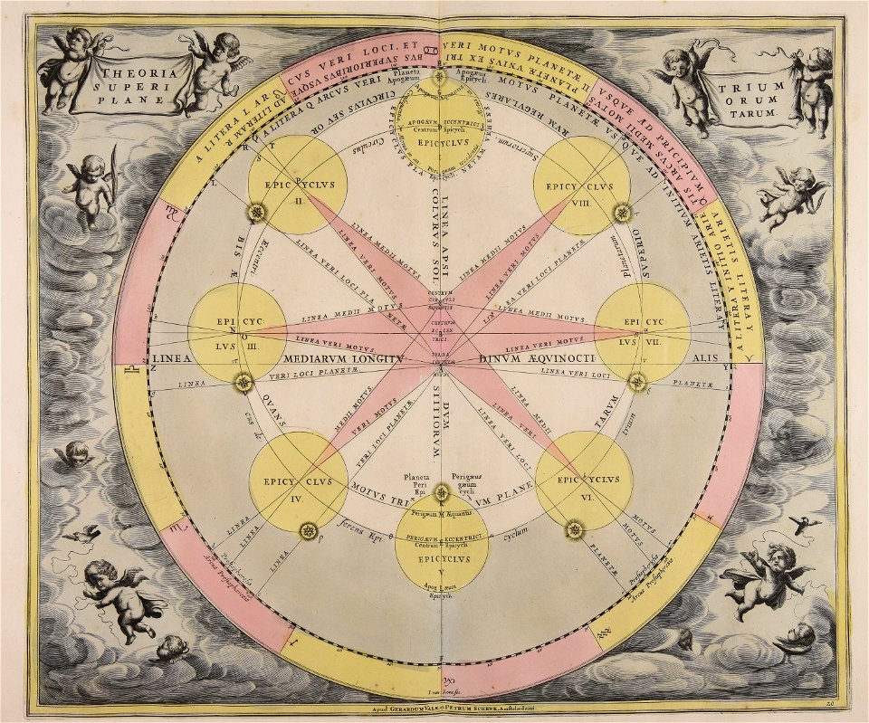
maps made in the 18th century
gerard valck
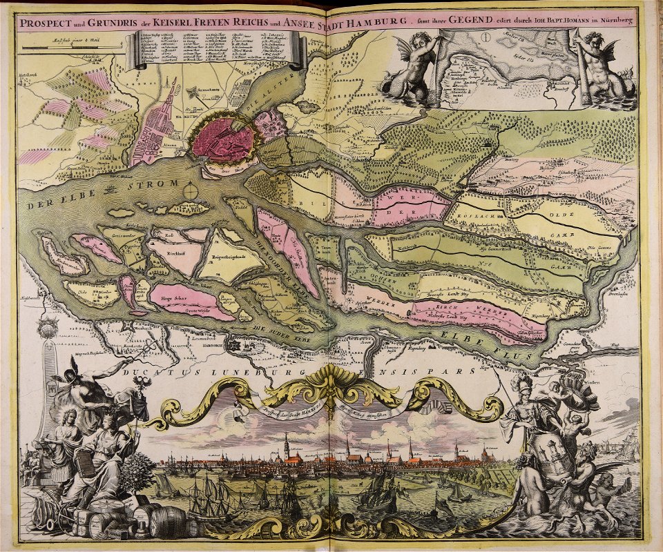
maps made in the 18th century
johann baptist homann
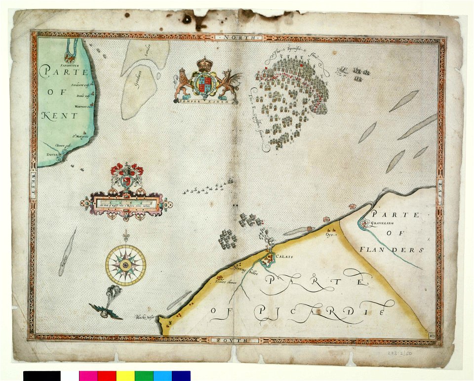
charts and maps of the royal museums greenwich
1590 maps
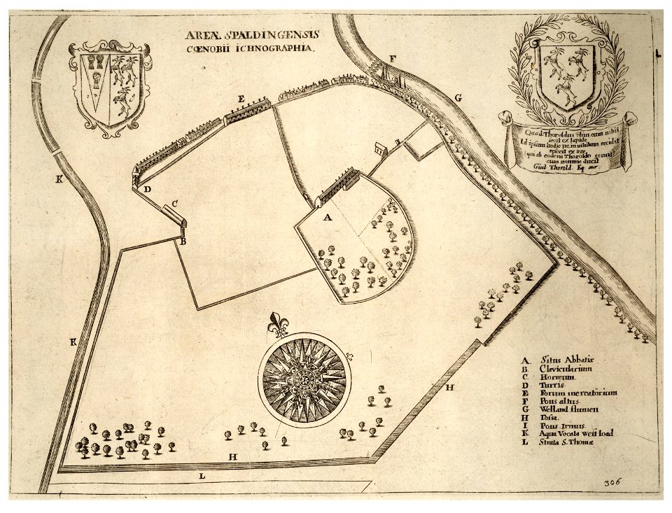
history of spalding
river welland
self-published work
pages with maps
10801 - 10900 of 357,549
Next page
/ 3576