Log in
All resources
Create a design
Tools
2,553 Free Images of Kaart
charts and maps of the royal museums greenwich
maps
vintage maps
maps in the rijksmuseum amsterdam
old map
vintage poster
world map
vintage
poster
atlas
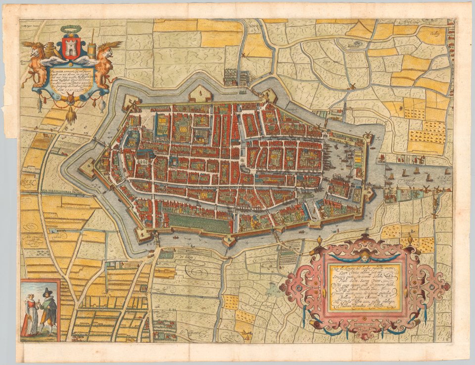
kaart van het baljuwschap kennemerland
maps in the rijksmuseum amsterdam
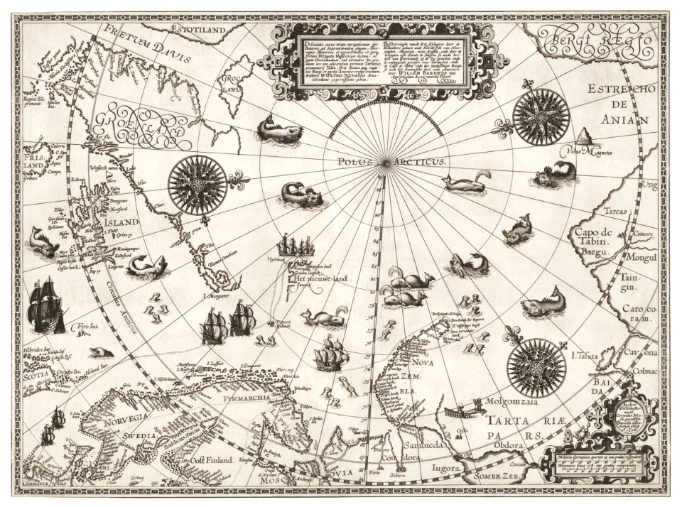
overwintering on nova zembla by willem barentsz, 1596-1597
maps in the rijksmuseum amsterdam
overwintering on nova zembla by willem barentsz, 1596-1597
maps in the rijksmuseum amsterdam
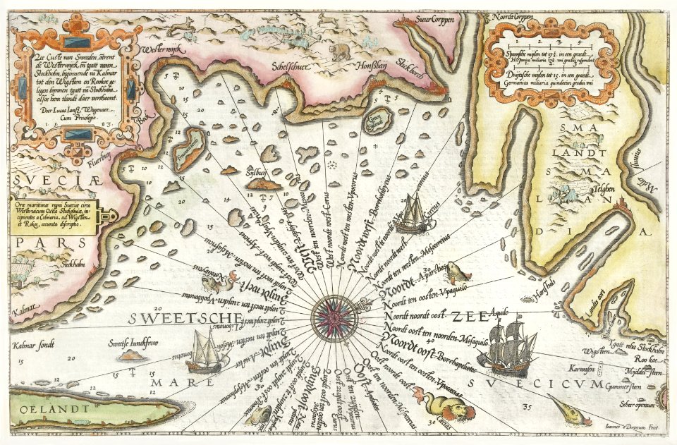
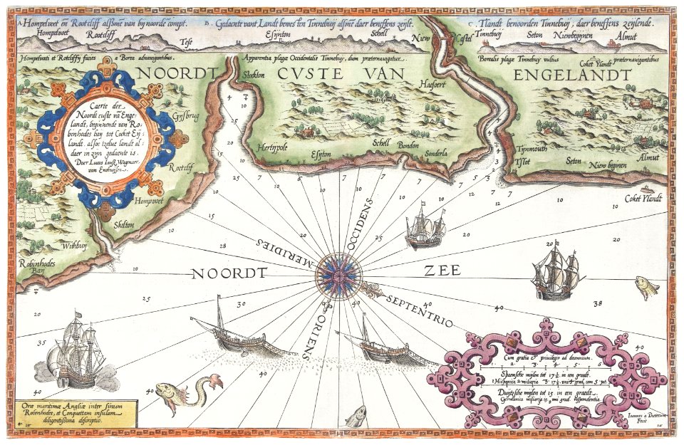
17th-century maps of iceland
copper engravings
media from stadsarchief rotterdam
baroque
works after map of amsterdam, 1544
ships on maps
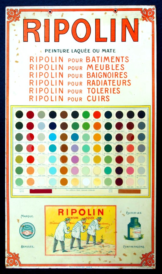
with trademark
ripolin
unidentified maps
surhuisterveen
old map
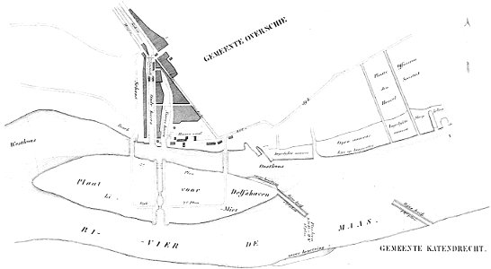
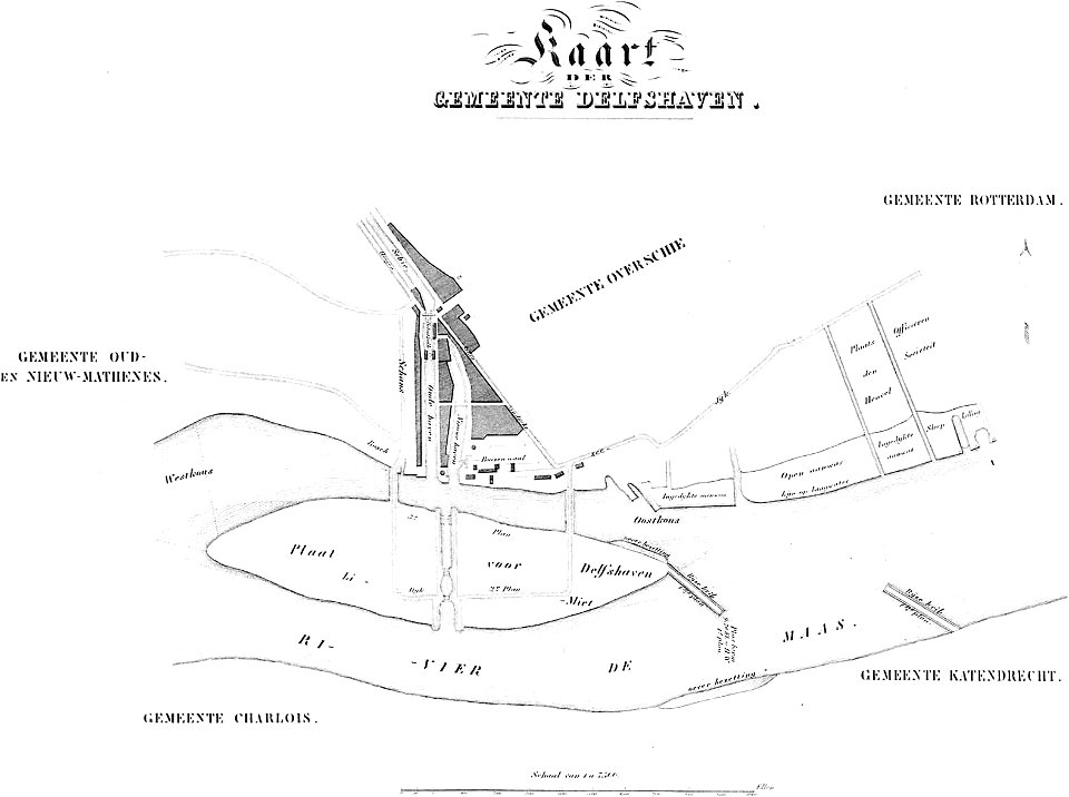
maps of delfshaven
maps of delfshaven
maps in the amsterdam museum
maps in the amsterdam museum
charts and maps of the royal museums greenwich
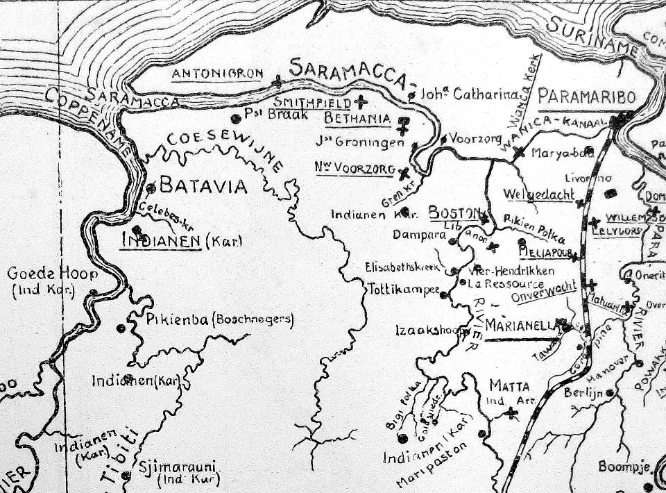
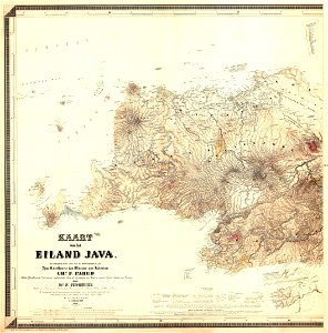
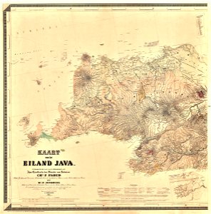
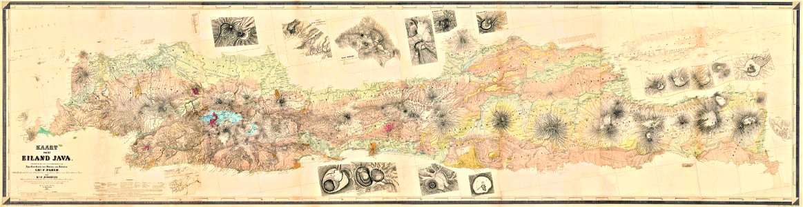
maps of west java
1855 maps
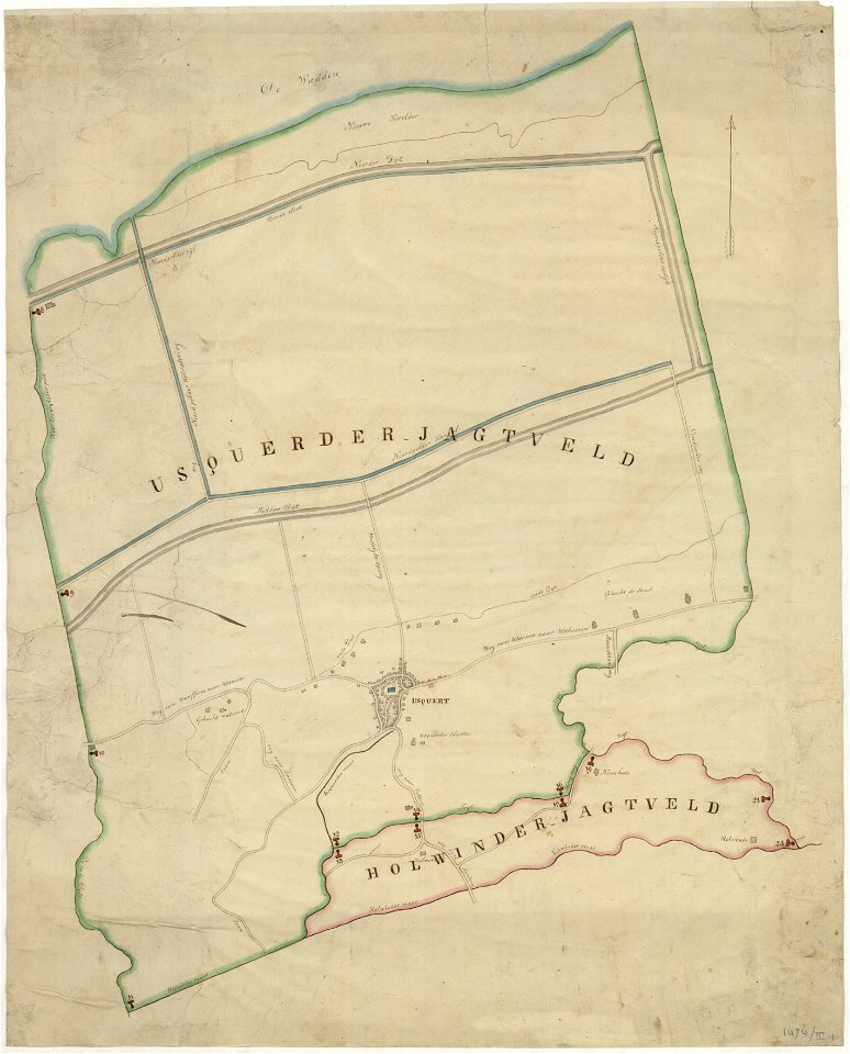
holwinde
usquert
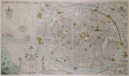
map of bruges by marcus gheeraerts (i)
gracht
old maps of mecklenburg
atlas maior
franz wilhelm junghuhn
franz wilhelm junghuhn
map of brugse vrije by pieter claeissens de jonge
charts and maps of the royal museums greenwich
charts and maps of the royal museums greenwich
nicolaes van geelkercken
frederick de wit
charts and maps of the royal museums greenwich
photographs by piet kramer
eenrum
maps by frederick de wit
vollenhove
books and manuscripts in maastricht university libraries
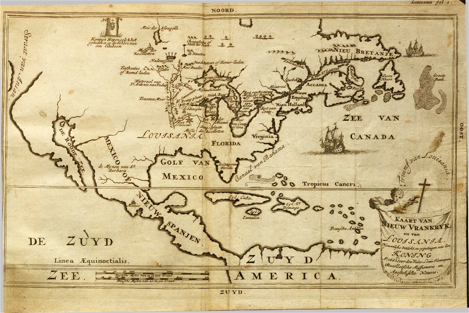
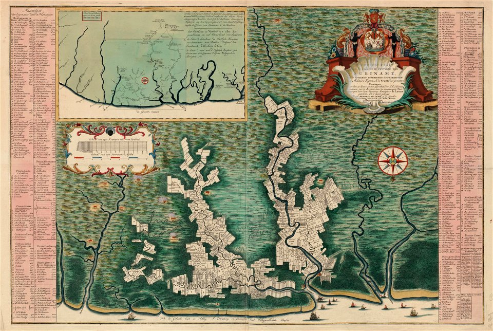
description de la louisiane
dutch 18th-century prints in the rijksmuseum amsterdam
maps of amsterdam
charts and maps of the royal museums greenwich
groningen
nienoord
covens en mortier
ostriches in art
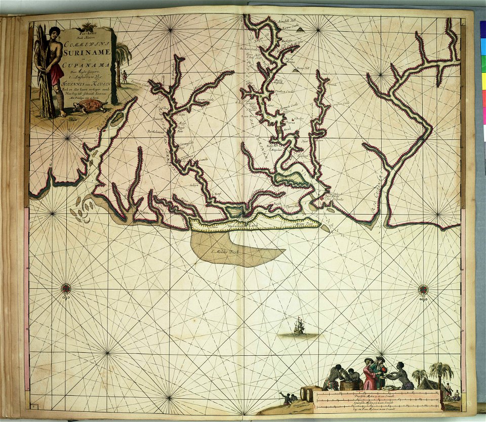
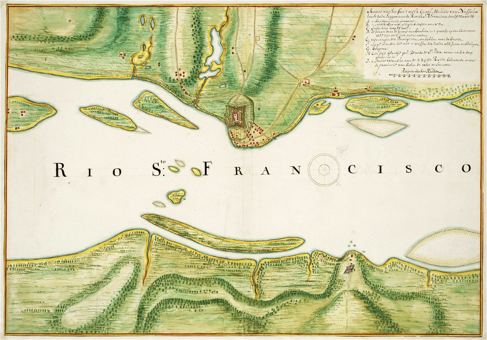
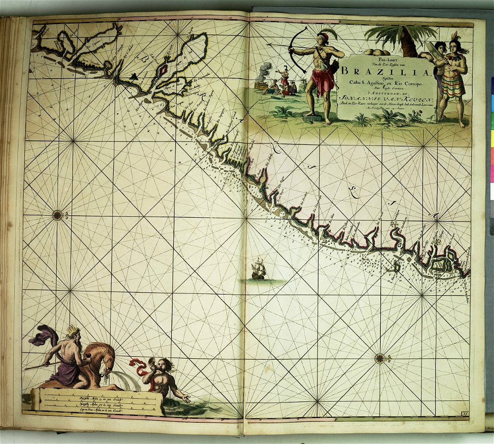
old maps of dutch brazil
johannes vingboons
images of artefacts of the king baudouin foundation
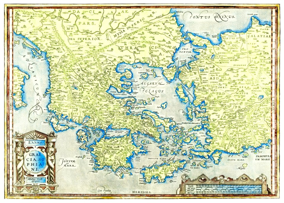
abraham ortelius
map of maastricht by willem and johannes blaeu (1649)
tongersestraat (maastricht)
charts and maps of the royal museums greenwich
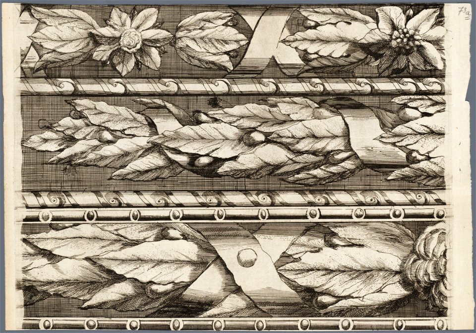
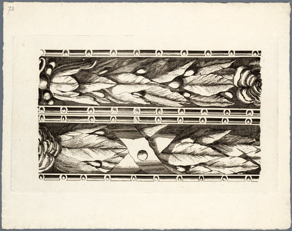
engravings of birds in the rijksmuseum amsterdam
covens en mortier
netherlands
peel
maps by franz wilhelm junghuhn
old maps of java
groningen
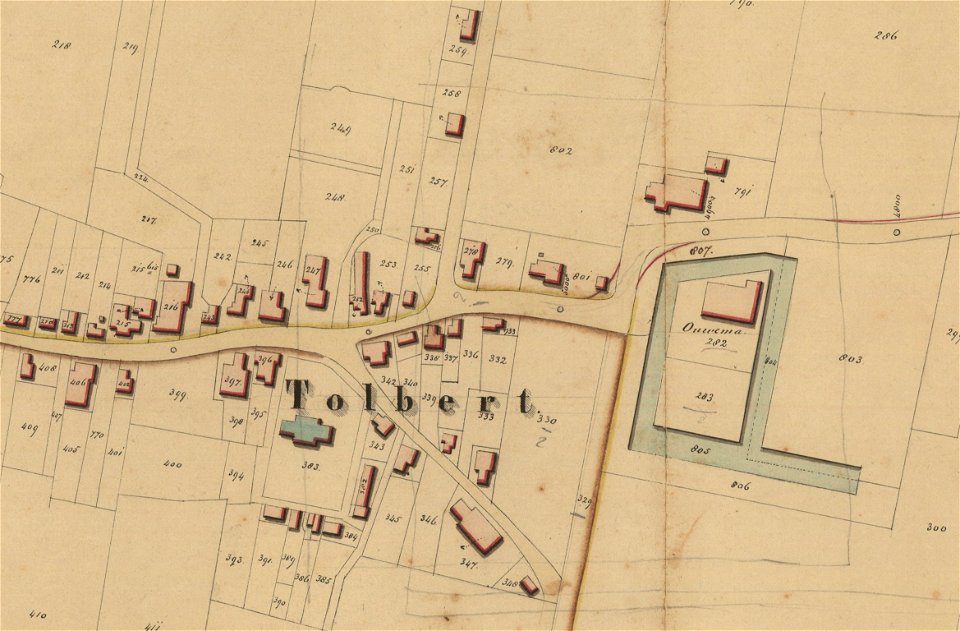
tolbert
charts and maps of the royal museums greenwich
charts and maps of the royal museums greenwich
map of maastricht by willem and johannes blaeu (1649)
nieuwenhofpoortje
charts and maps of the royal museums greenwich
map of maastricht by willem and johannes blaeu (1649)
nieuwenhofwal (maastricht)
charts and maps of the royal museums greenwich
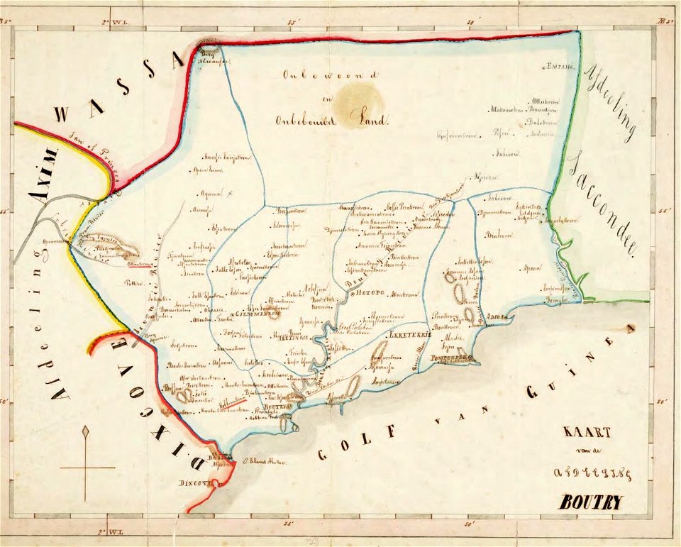
old maps of the dutch gold coast
1859 maps
charts and maps of the royal museums greenwich
map of maastricht by willem and johannes blaeu (1649)
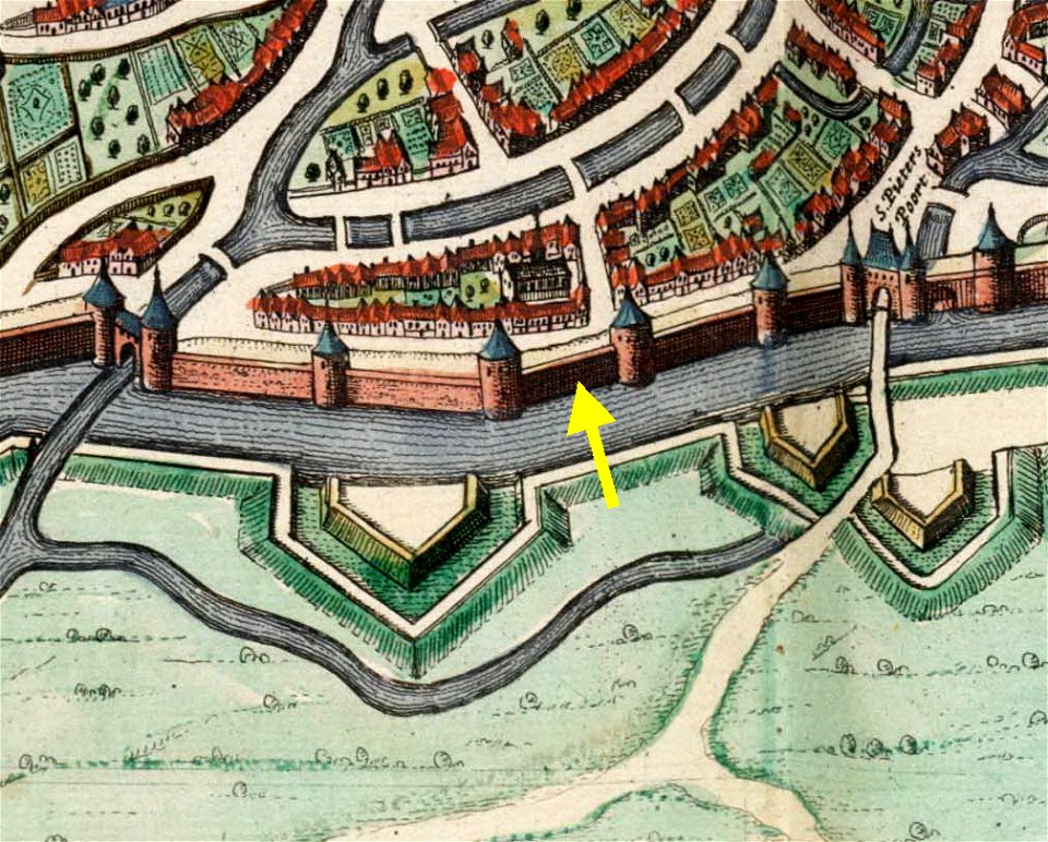
city gates in maastricht
maps and topographical views by joris hoefnagel
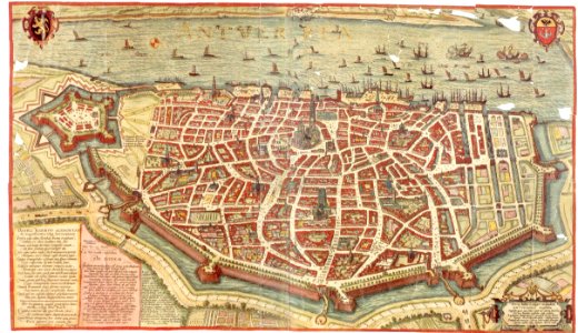
maps of antwerp
vintage
maps
cartography
maps
charts and maps of the royal museums greenwich
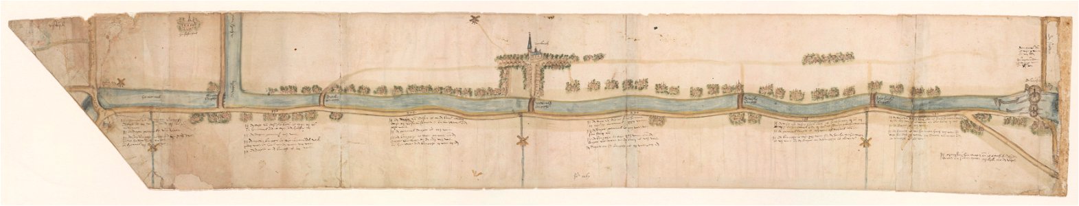
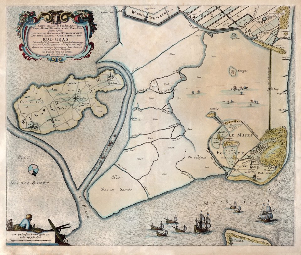
maps of waterways in the netherlands
collections of stadsarchief delft
illustration
maps
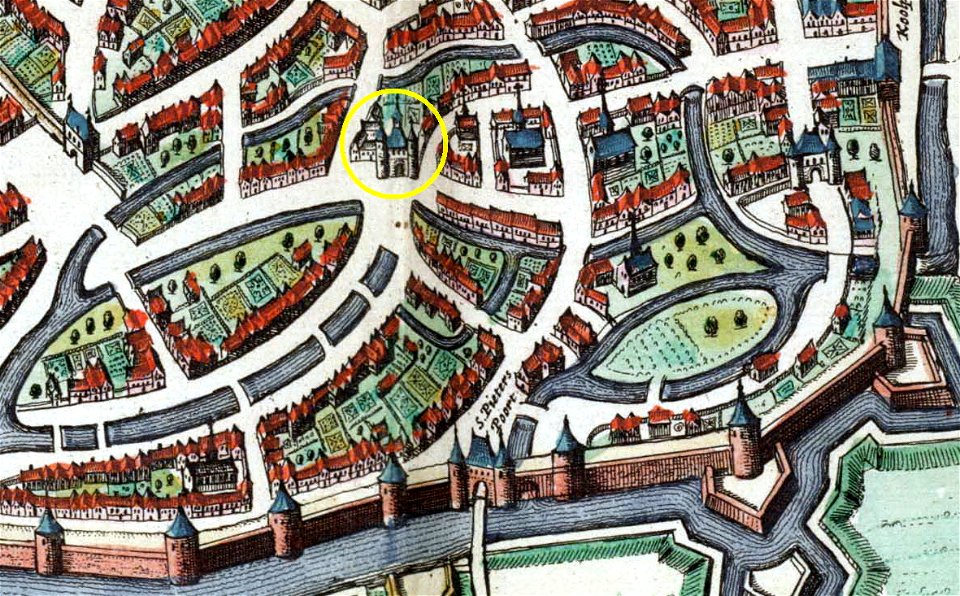
first medieval city wall of maastricht
history of vrijthof (maastricht)
maps of waterways in the netherlands
leiden
maps of waterways in the netherlands
voorschoten
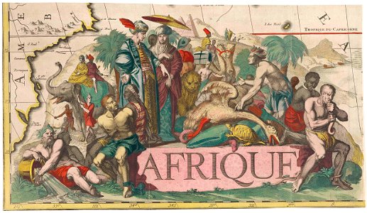
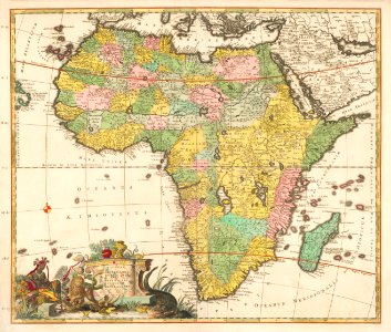
africa
maps
history of sint-servaasbrug (maastricht)
onze lieve vrouwewal (maastricht)
charts and maps of the royal museums greenwich
globe
maps
world
maps
leidschendam
voorburg
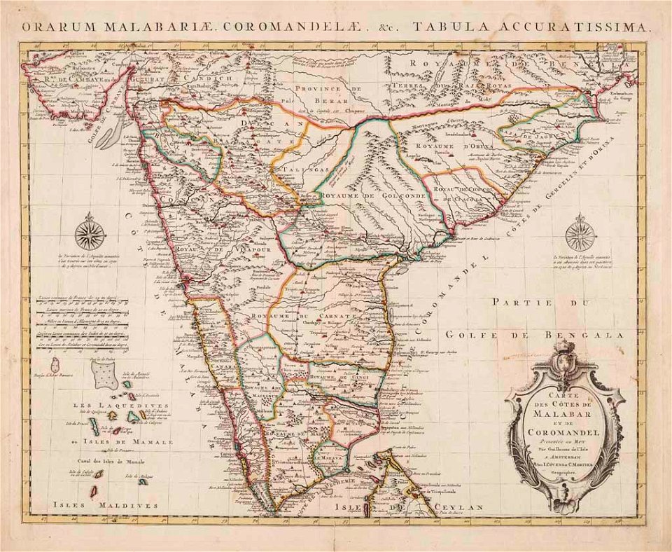
old maps of the malabar coast
18th-century maps of india
maps by willem and johannes blaeu
maps in the rijksmuseum amsterdam
charts and maps of the royal museums greenwich
geography
maps
maps of waterways in the netherlands
collections of stadsarchief delft
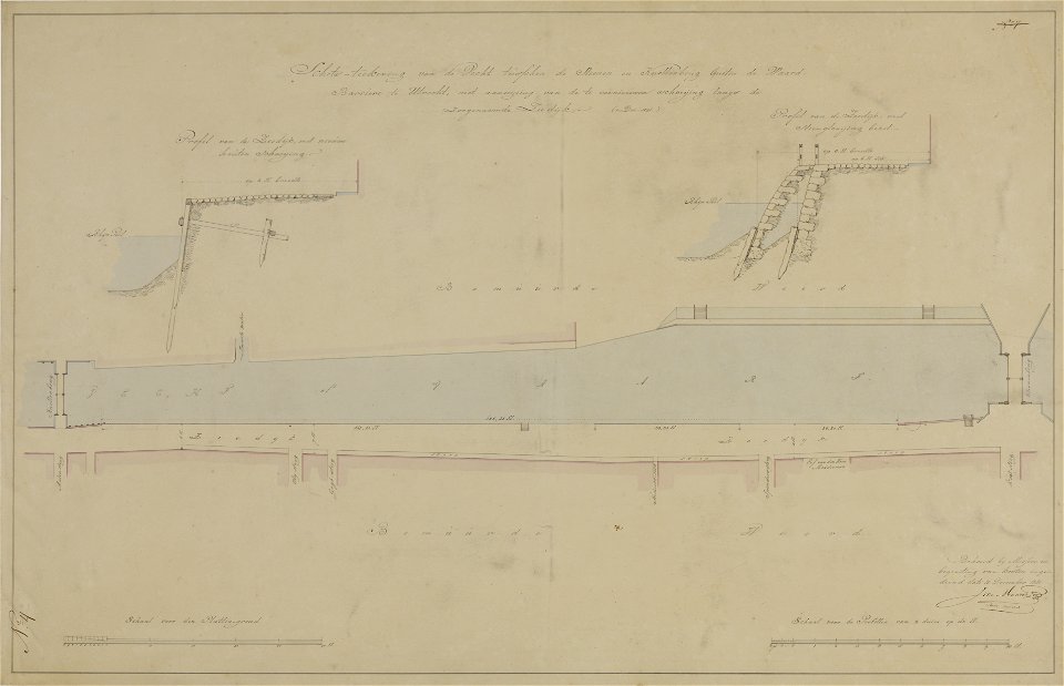
collection technical drawings from het utrechts archief
vintage
maps
collection technical drawings from het utrechts archief
amsterdamsestraatweg
cartography
maps
vintage
maps
collection voorhelm schneevoogt
collection voorhelm schneevoogt
world
maps
world map
maps
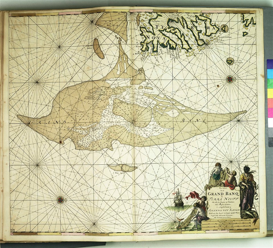
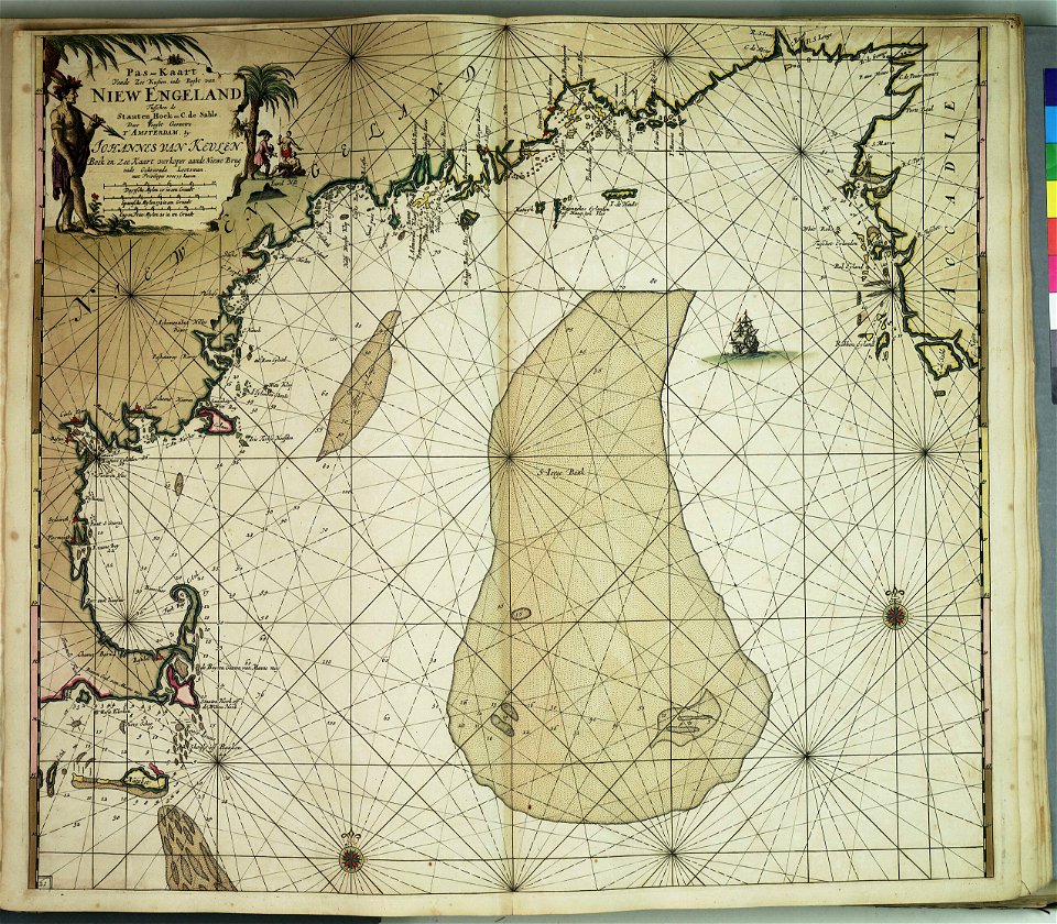
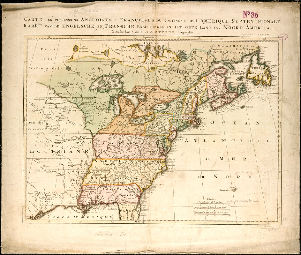
old maps of north america from the norman b. leventhal map center
1755 maps of the united states
maastricht
2016
collection technical drawings from het utrechts archief
bridges in the netherlands
maps in the rijksmuseum amsterdam
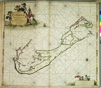
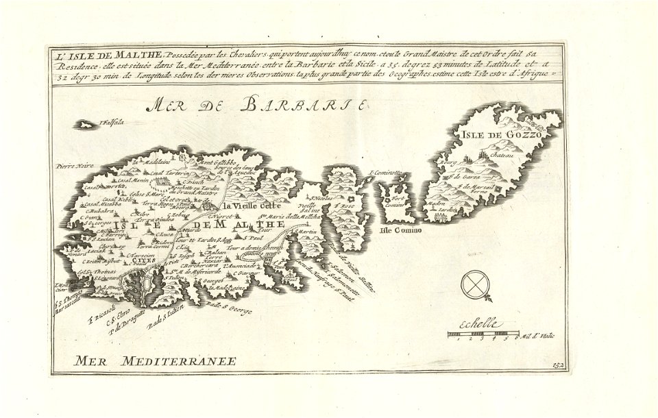
old maps of malta
netherlands
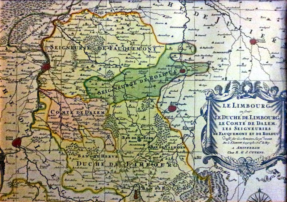
limburg
dutch 18th-century prints in the rijksmuseum amsterdam
hendrik de leth
maps of nieuwkoop
aarlanderveen
maps of waterways in the netherlands
de zegepraalende vecht
historical
history
history
maps
maps of hardenberg
avereest
maps in the rijksmuseum amsterdam
david coster
eran laor cartographic collection
isaak tirion
old maps of deventer
schipbrug deventer
gemeente atlas van nederland - south holland
1860s maps of south holland
hendrik de leth
1737 maps
eran laor cartographic collection
emanuel bowen
prints of cartouches in the rijksmuseum amsterdam
maps in the rijksmuseum amsterdam
historical
history
map of bruges by marcus gheeraerts (i)
vuldersreitje (brugge)
old maps of de biesbosch
jan christiaan sepp
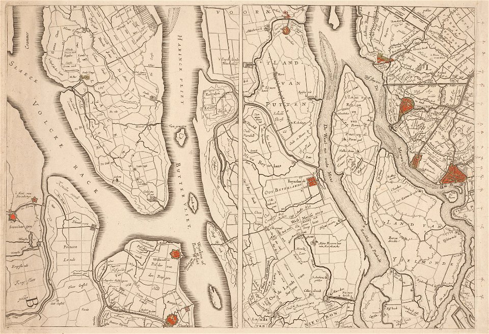
maps of rotterdam by berckenrode
maps of haringvliet (rotterdam)
1 - 100 of 2,553
Next page
/ 26