Log in
All resources
Create a design
Tools
357,548 Free Images of Map
maps in the library of congress
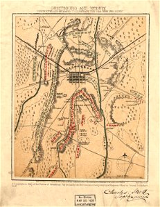
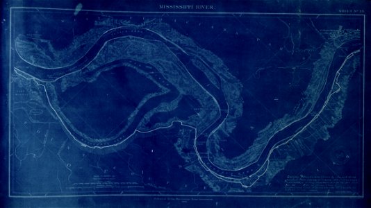
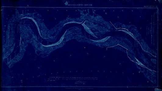
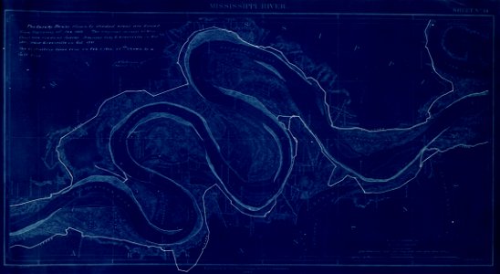
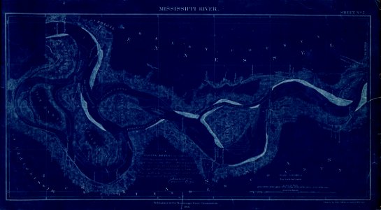
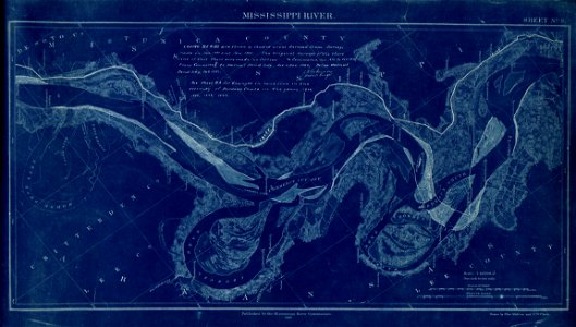
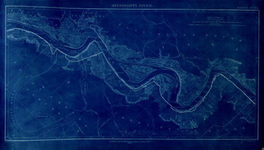
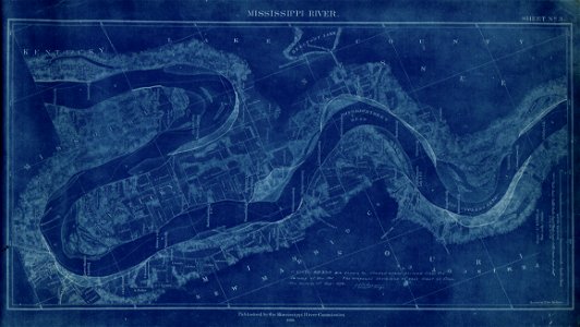
map of the mississippi river - from cairo to donaldsonville
maps
o. h. bailey
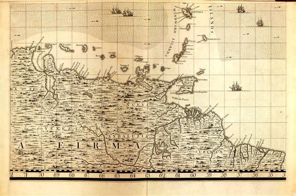
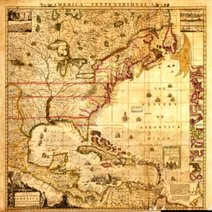
a map of the british empire in america with the french and spanish settlements adjacent thereto
old maps of connecticut
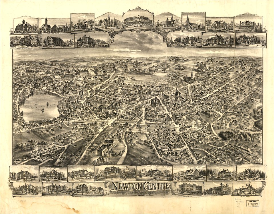
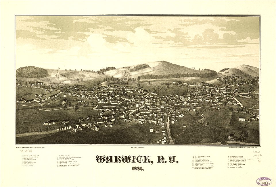
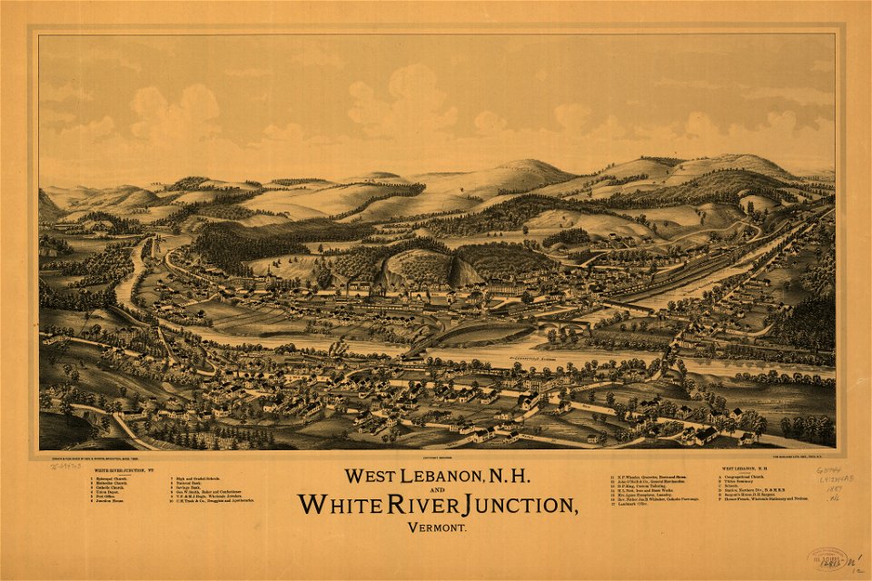
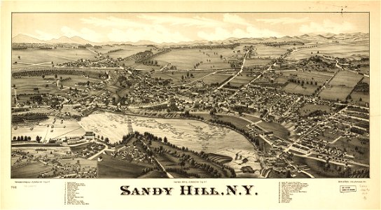
town maps by l. r. burleigh
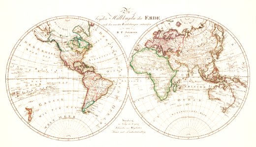
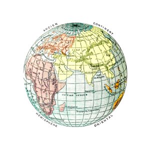
world map
l. r. burleigh
geography
old maps of connecticut
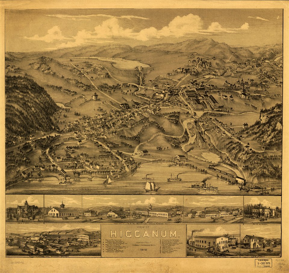
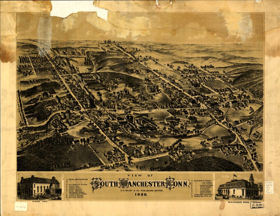
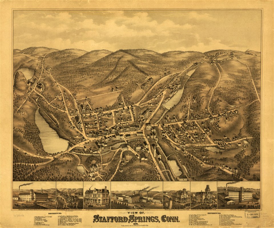
o. h. bailey
old maps of connecticut
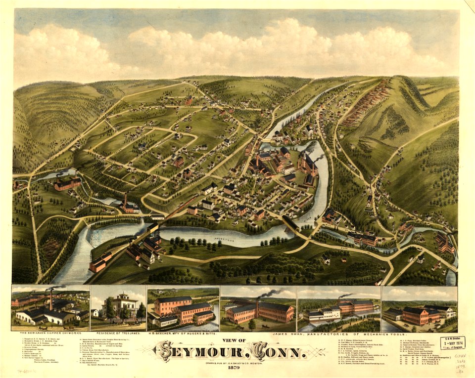
o. h. bailey
old maps of connecticut
o. h. bailey
old maps of connecticut
o. h. bailey
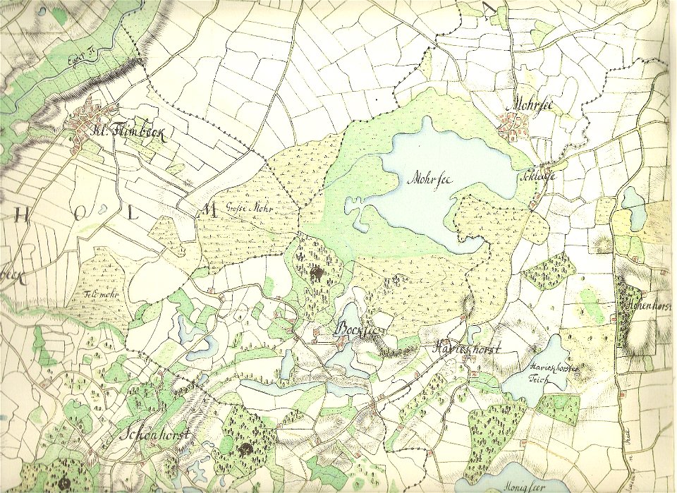
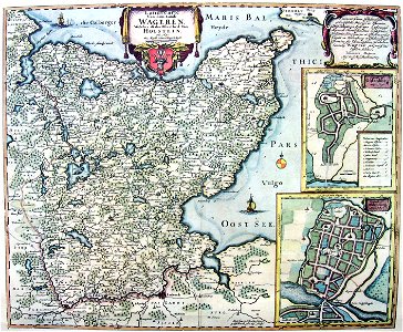
18th-century maps of schleswig-holstein
maps by gustav adolf von varendorf
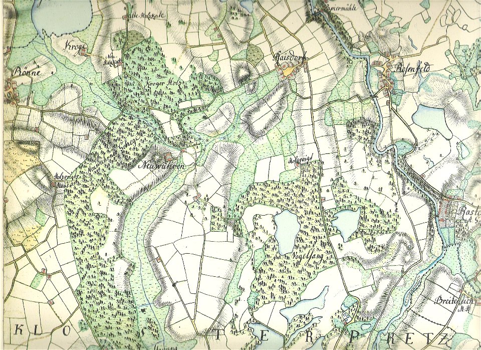
18th-century maps of schleswig-holstein
maps by gustav adolf von varendorf
maps in the library of congress
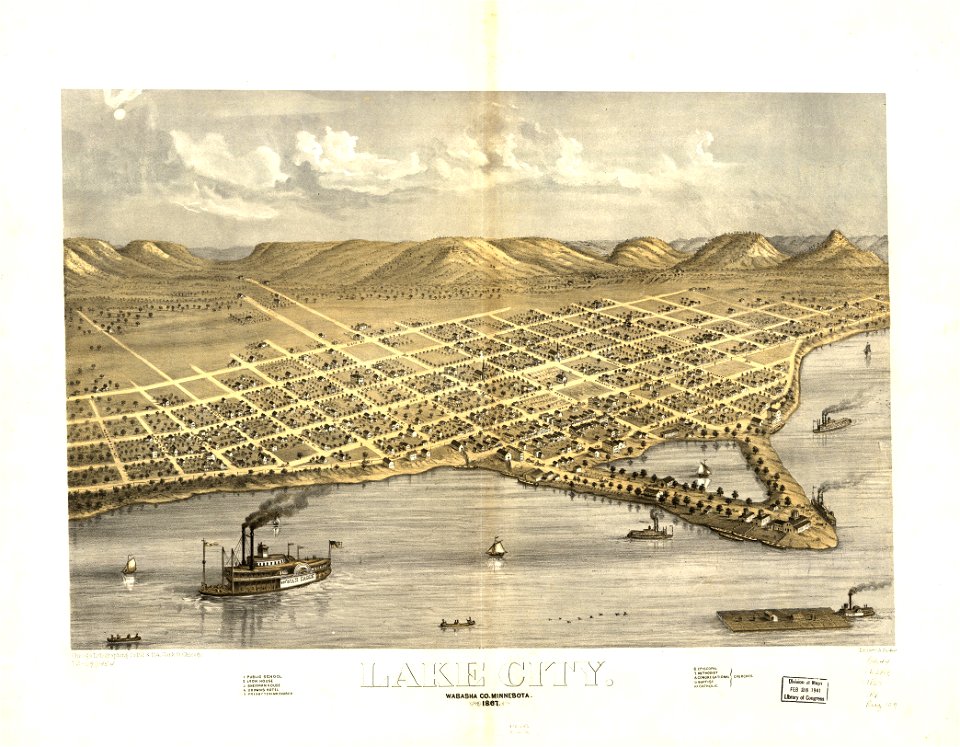
1867 maps
old maps of the balkans
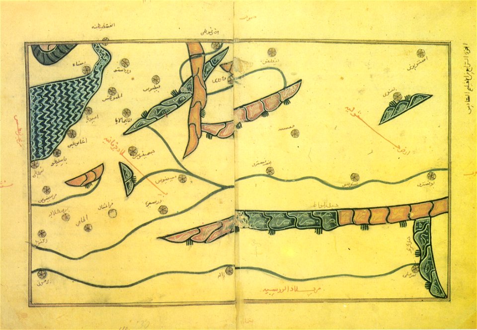
arabic-language maps
old maps of massachusetts
o. h. bailey
maps in the library of congress
town maps by l. r. burleigh
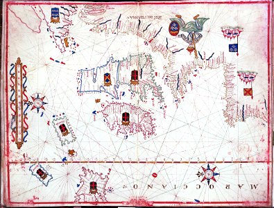
charts and maps of the royal museums greenwich
maps by oliva family
maps in the library of congress
old maps of pennsylvania
maps in the library of congress
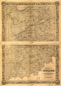
old maps of texas
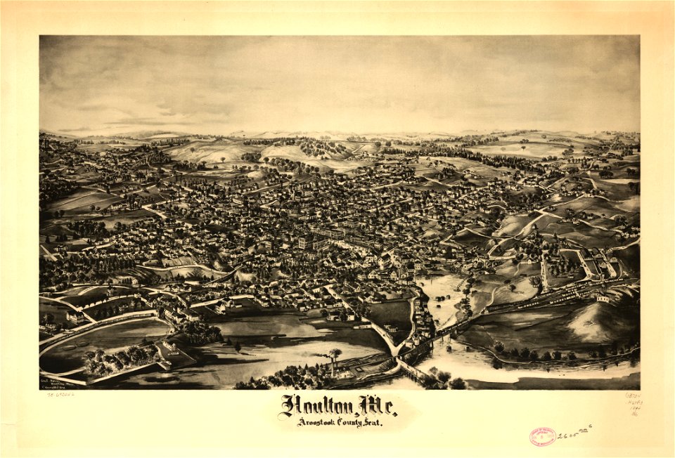
houlton
maine
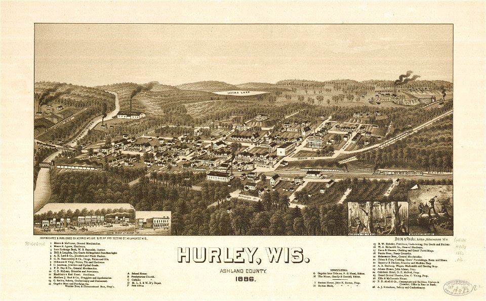
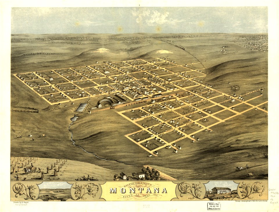
wisconsin
hurley
water
maps
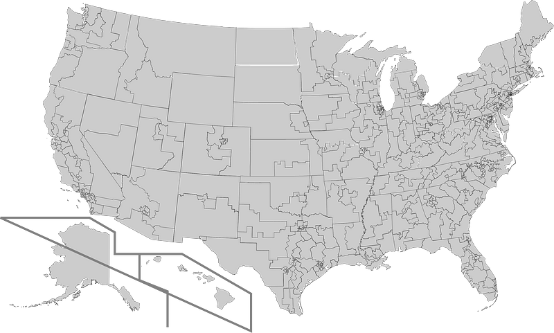
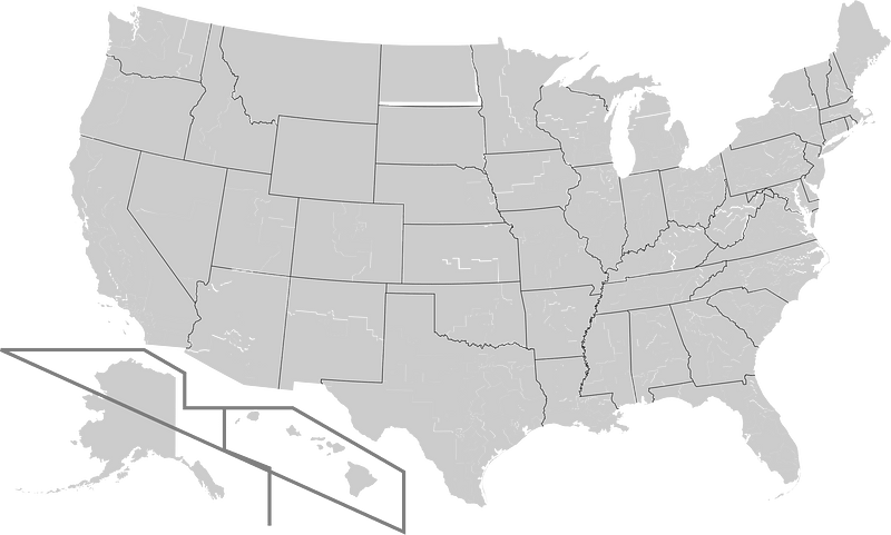
us states
maps
maps in the library of congress
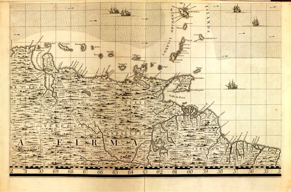
18th-century maps of barbados
maps in the library of congress
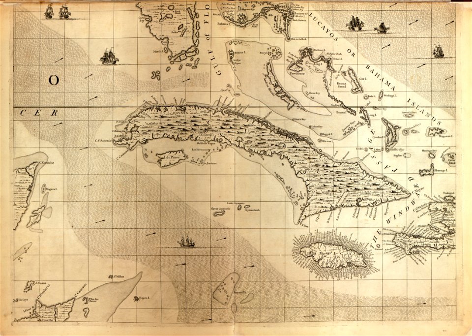
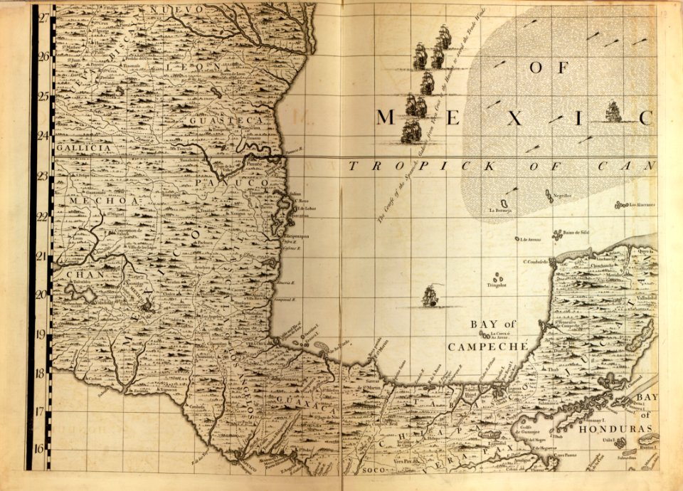
18th-century maps of cuba
a map of the british empire in america with the french and spanish settlements adjacent thereto
maps in the library of congress
a map of the british empire in america with the french and spanish settlements adjacent thereto
maps in the library of congress
a map of the british empire in america with the french and spanish settlements adjacent thereto
maps in the library of congress
a map of the british empire in america with the french and spanish settlements adjacent thereto
maps in the library of congress
maps in the library of congress
18th-century maps of barbados
18th-century maps of the spanish empire
johannes ratelband
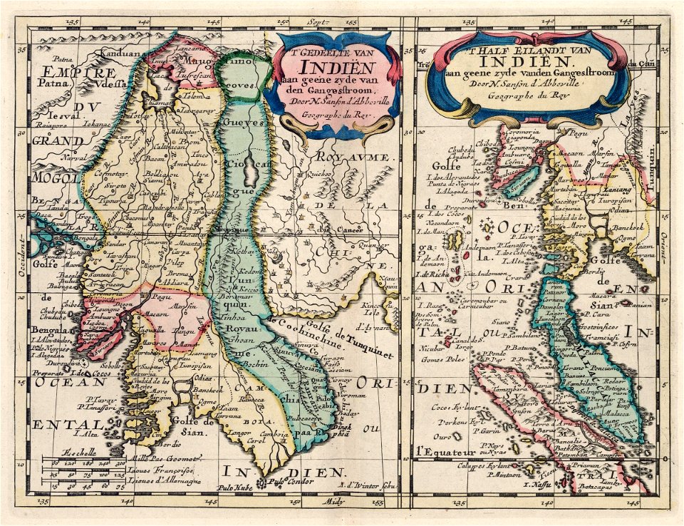
maps of the dutch east india company - indonesia
1705
maps in the library of congress
iowa
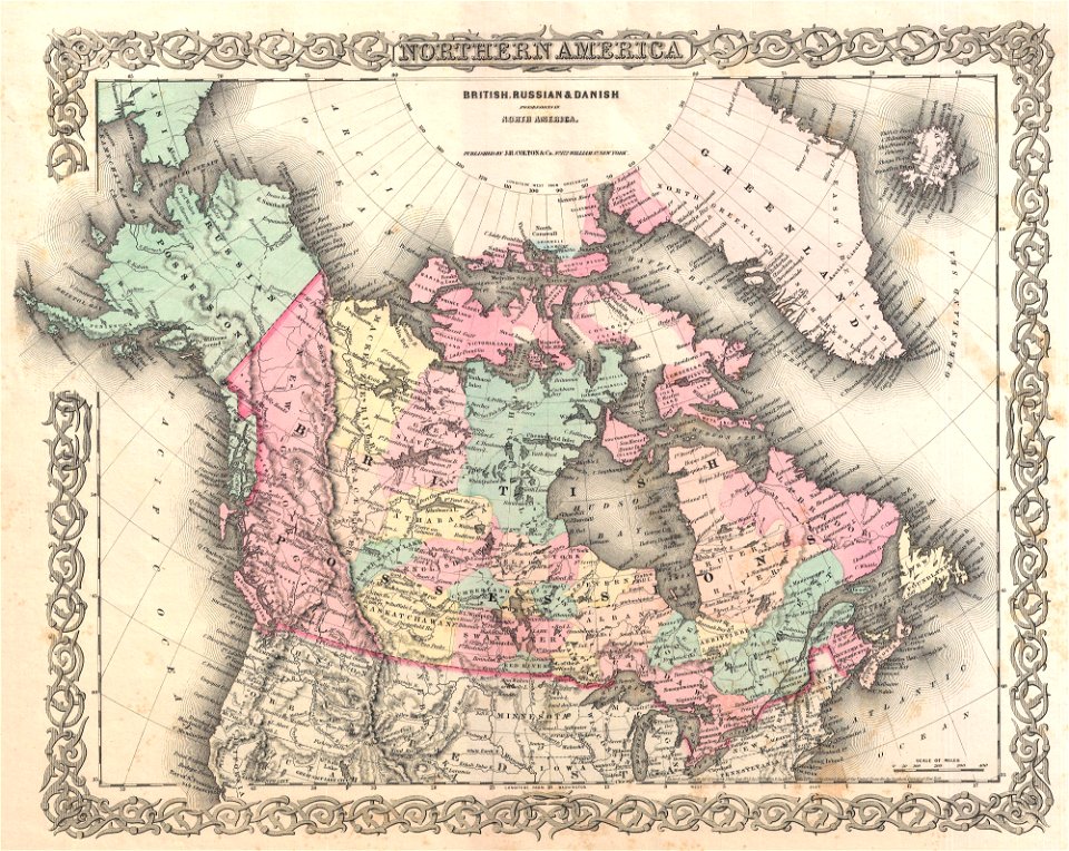
old maps of canada
province of canada
australia
maps
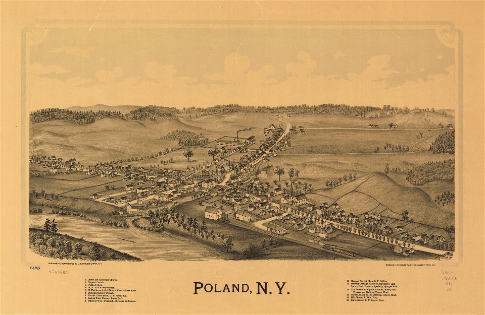
new york
poland
19th-century maps of the spanish empire
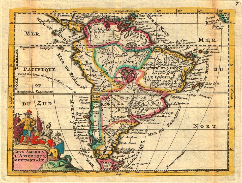
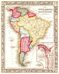
1810s maps of south america
old maps of south africa
boer
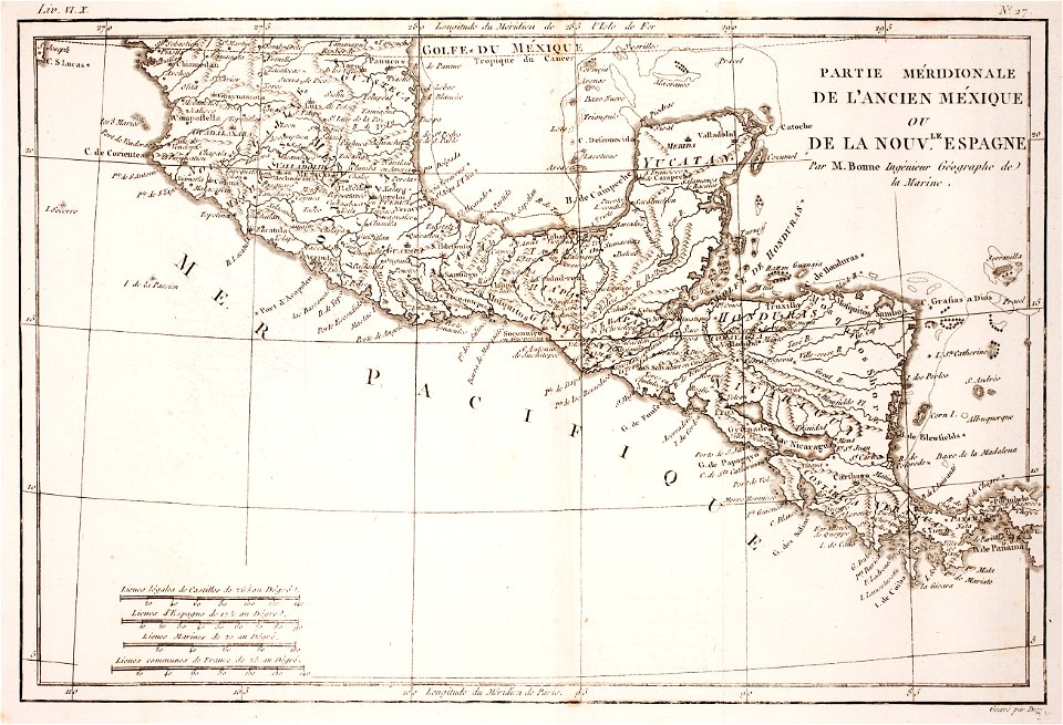
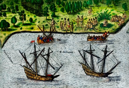
18th-century maps of nicaragua
1780 in central america
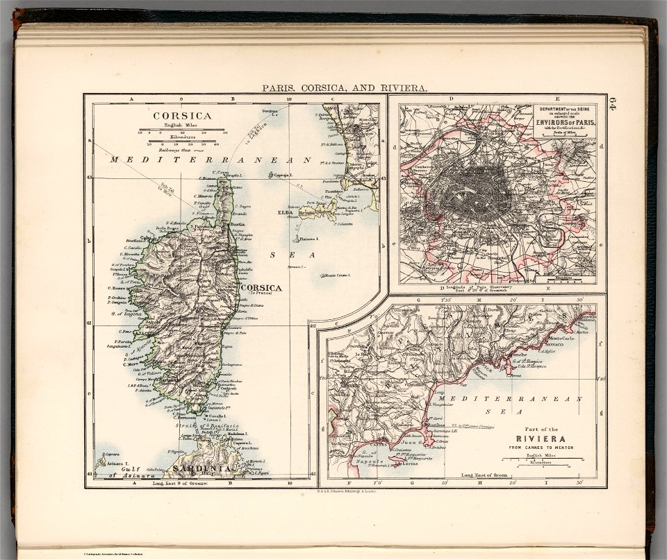
old maps of provence-alpes-côte d'azur
old maps of corsica
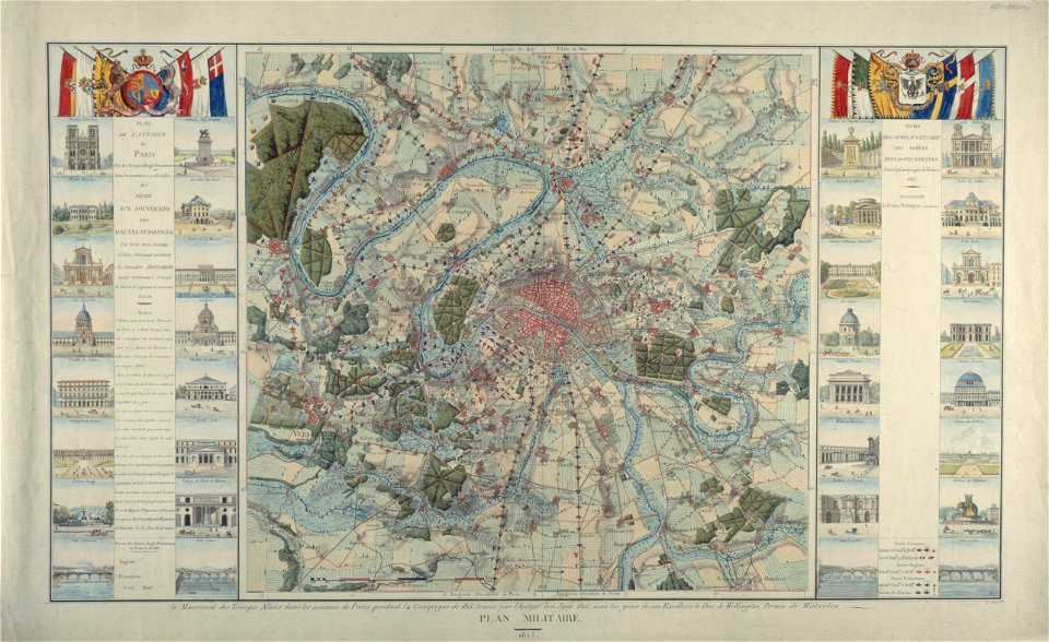
maps of paris from paris musées
1815 in paris
black
blue
maps
usa
maps
usa
maps
usa
cartography
maps
german-language maps showing history of europe
david rumsey historical map collection
new york
green
maps in the library of congress
1861 maps of south carolina
brazil
maps
medieval
maps
maps in the library of congress
1860 maps
maps in the library of congress
1861 maps
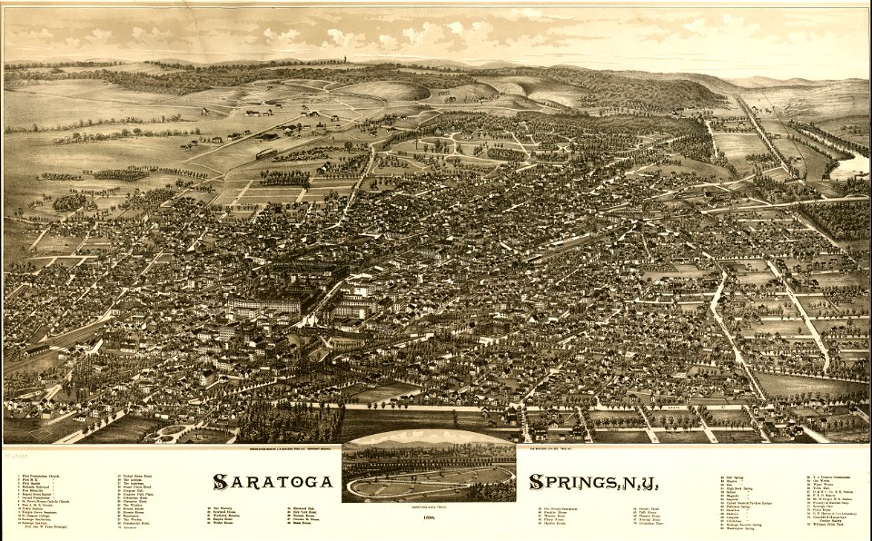
saratoga springs
new york
earth
maps
maps by willem and johannes blaeu
kreis plön
dutch-language maps
johannes ratelband
18th-century maps of indonesia
1724
el puerto de santa maría
juan de la cosa
illustration
maps
geography
maps
o. h. bailey
1880 maps
old maps of connecticut
o. h. bailey
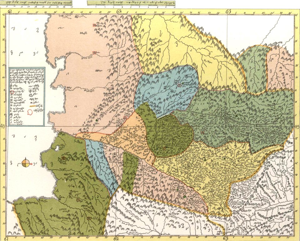
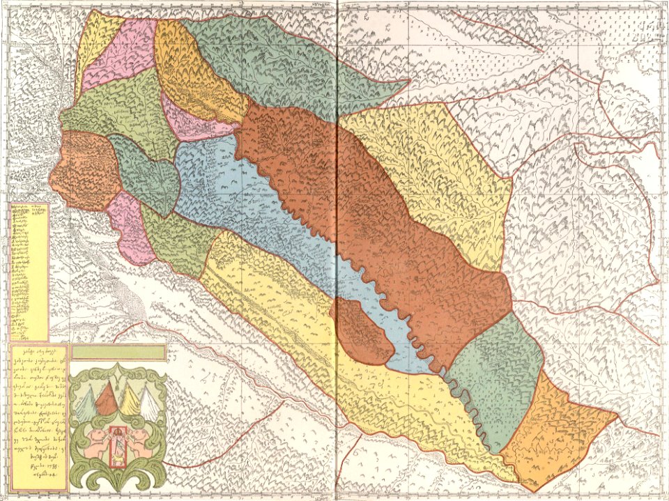
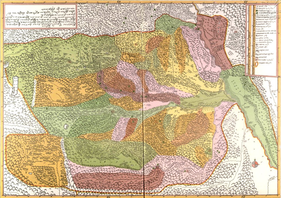
description of kingdom of georgia
its habits and canons
maps in the library of congress
o. h. bailey
maps in the library of congress
1882 maps
maps in the library of congress
town maps by l. r. burleigh
maps in the library of congress
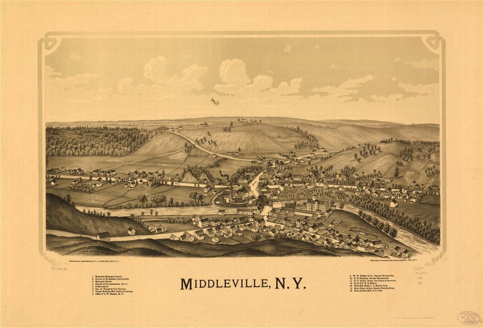
old maps of new hampshire
description of kingdom of georgia
its habits and canons
description of kingdom of georgia
its habits and canons
maps in the library of congress
town maps by l. r. burleigh
maps in the library of congress
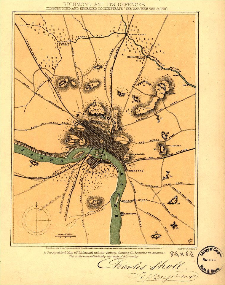
old maps of virginia
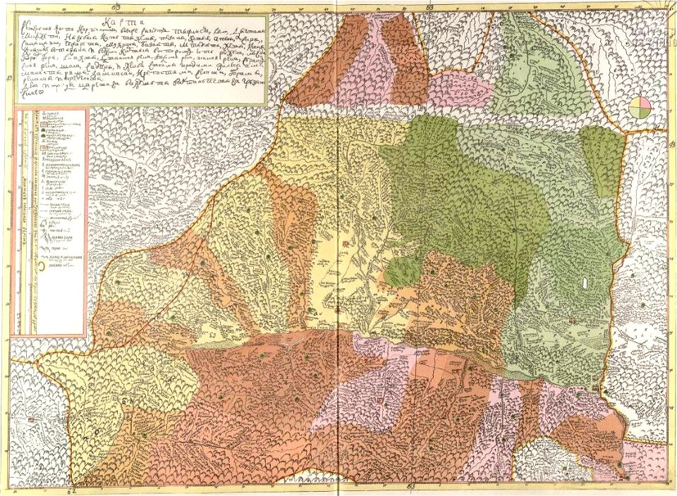
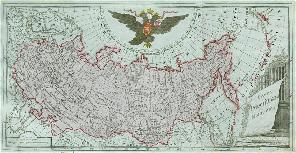
old maps of the russian empire
catherine the great
ptolemy's 4th african map
latin-language maps
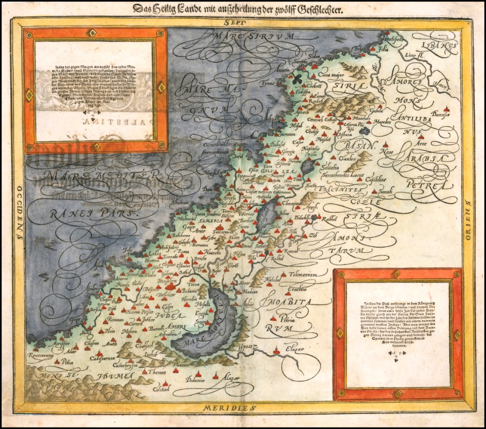
maps by sebastian münster
german-language maps
windmills in art
bridge of arts
maps of the dutch east india company - japan
1705
maps of the west-indische compagnie
1665
old maps of the dutch east india company
1672
maps of the dutch east india company - sri lanka
1753 maps
maps of the dutch east india company - indonesia
1753 maps
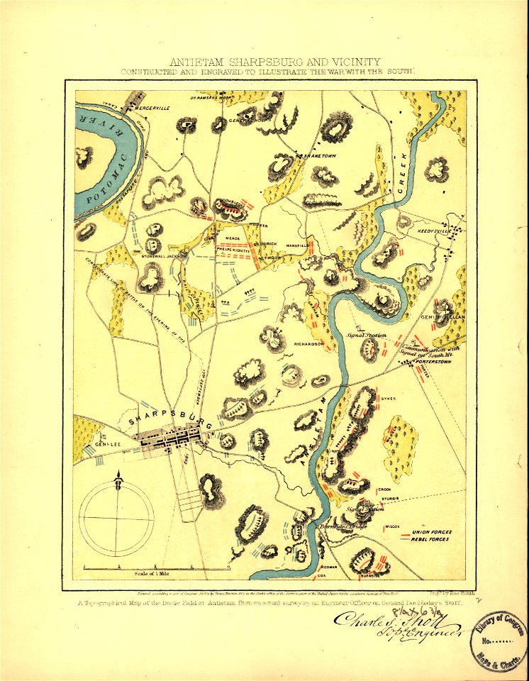
maps in the library of congress
old maps of maryland
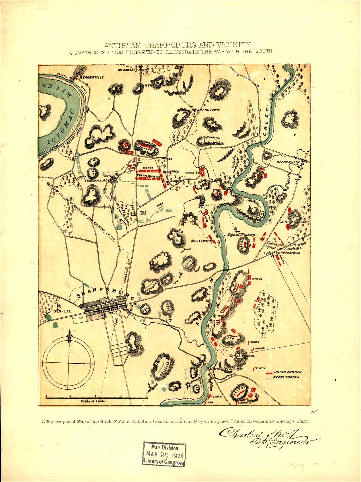
maps in the library of congress
old maps of maryland
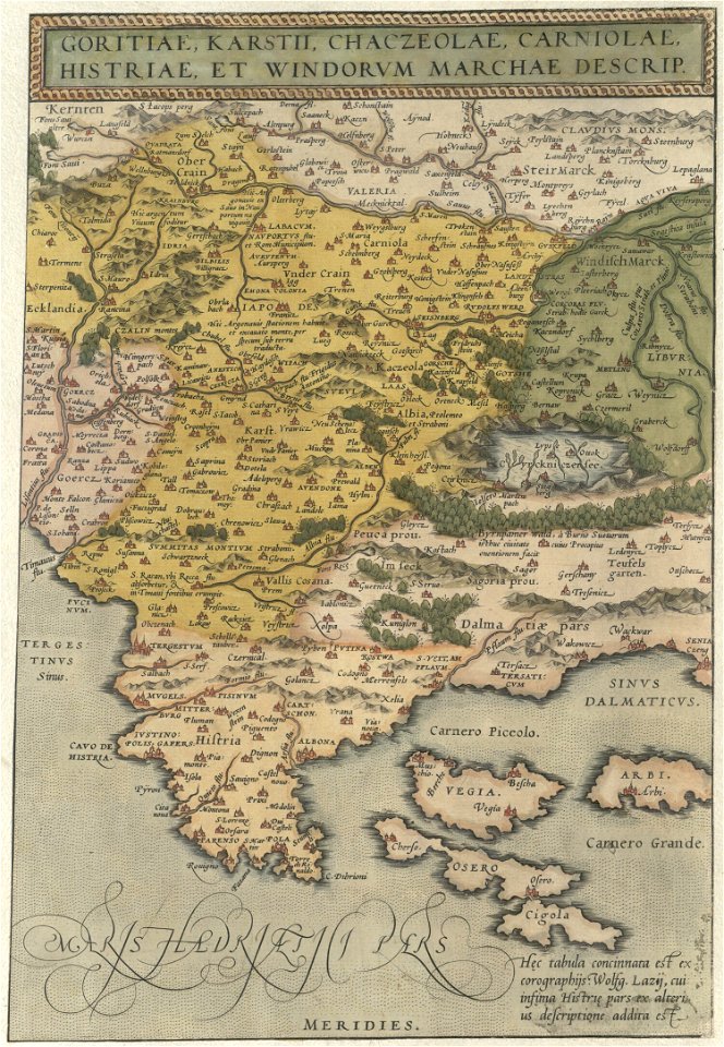
16th-century maps of slovenia
maps by wolfgang lazius
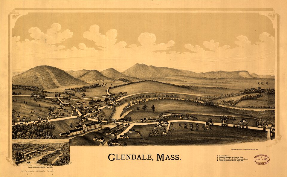
massachusetts
glendale,
maps in the library of congress
1894 maps
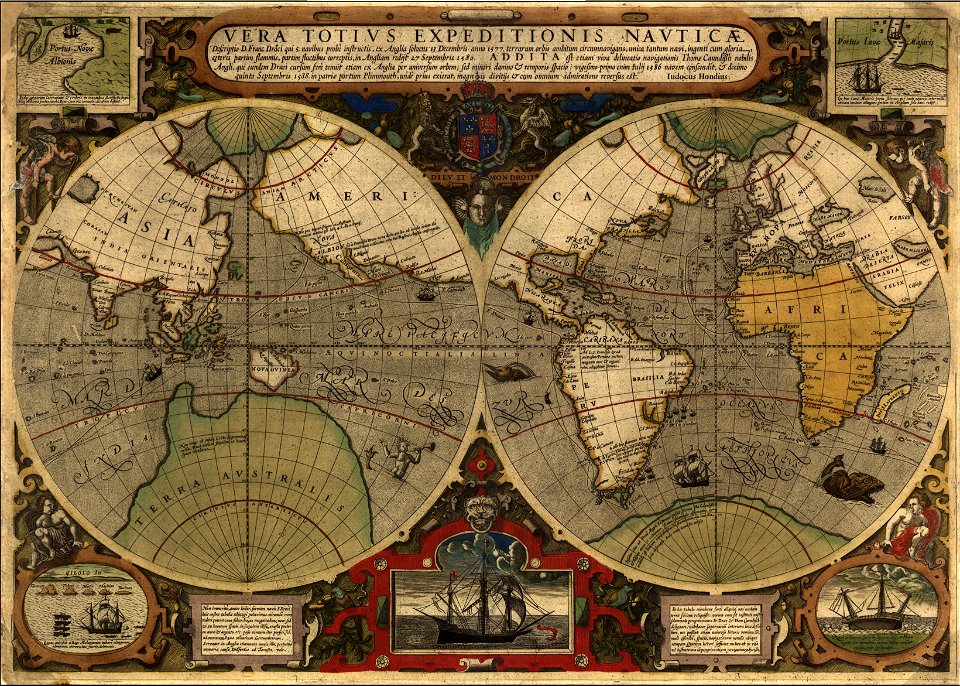
francis drake
1577
description of kingdom of georgia
its habits and canons
map of the mississippi river - from cairo to donaldsonville
maps in the library of congress
map of the mississippi river - from cairo to donaldsonville
maps in the library of congress
map of the mississippi river - from cairo to donaldsonville
maps in the library of congress
map of the mississippi river - from cairo to donaldsonville
maps in the library of congress
map of the mississippi river - from cairo to donaldsonville
maps in the library of congress
map of the mississippi river - from cairo to donaldsonville
maps in the library of congress
map of the mississippi river - from cairo to donaldsonville
maps in the library of congress
map of the mississippi river - from cairo to donaldsonville
maps in the library of congress
map of the mississippi river - from cairo to donaldsonville
maps in the library of congress
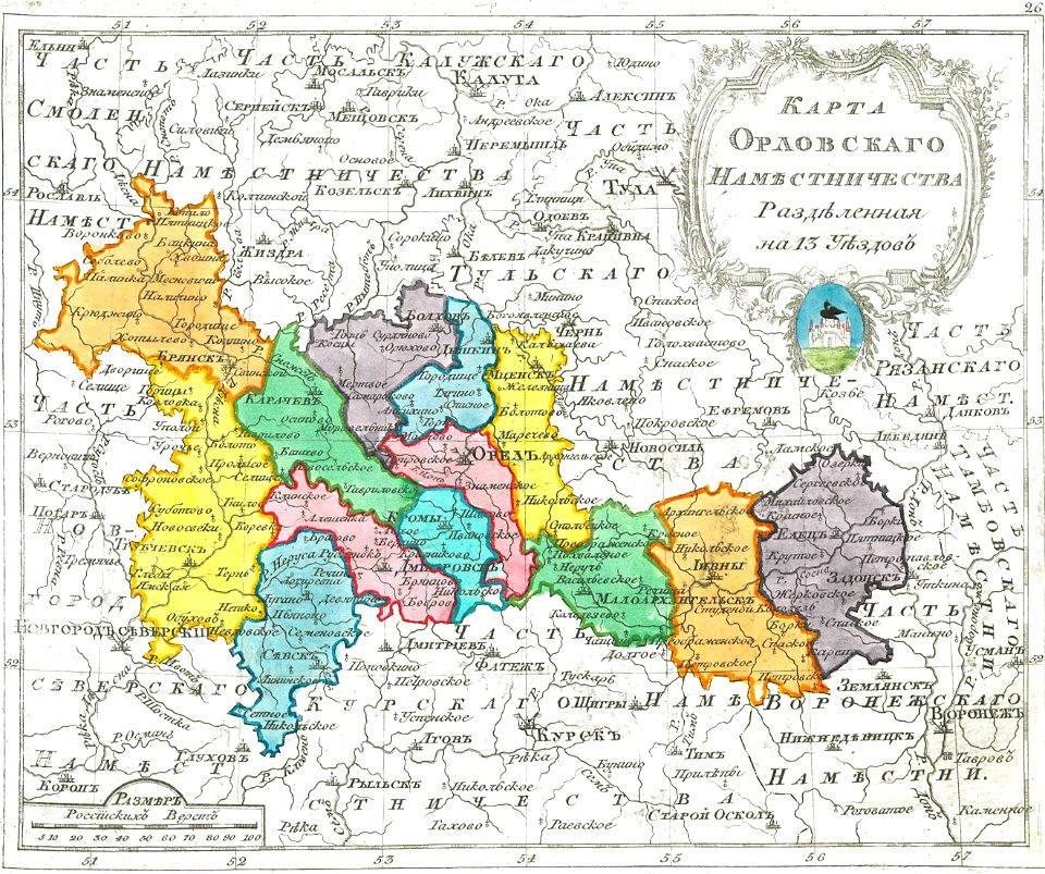
small atlas of the russian empire (1792)
maps of oryol governorate
map of the mississippi river - from cairo to donaldsonville
maps in the library of congress
map of the mississippi river - from cairo to donaldsonville
maps in the library of congress
maps in the library of congress
1867 maps
map of the mississippi river - from cairo to donaldsonville
maps in the library of congress
map of the mississippi river - from cairo to donaldsonville
maps in the library of congress
map of the mississippi river - from cairo to donaldsonville
maps in the library of congress
map of the mississippi river - from cairo to donaldsonville
maps in the library of congress
map of the mississippi river - from cairo to donaldsonville
maps in the library of congress
5101 - 5200 of 357,548
Next page
/ 3576